Last Visited: May 31, 2021; Previous Visit(s): July 10, 2016
Maps: Fisher F-5; McKenzie #20
Daily Quota: 7
Fire History: 1875 and 1863-64
Nearest Ranger Station: Tofte Ranger Station, Tofte, MN along Hwy. 61 on the North Shore
Portage Length from Parking Lot: 0 rods
Restroom at Entry Point: Yes. The Kawishiwi Lake Rustic Campground is also here
BWCA Entry Point 37 - Kawishiwi Lake
Tofte Ranger District
It is a fairly long drive out to this entry point. From Tofte, Minnesota, follow the Sawbill Trail (Cook County Road 2) north and inland from Lake Superior. After just a few miles, this road becomes a dirt road. You will pass the Temperence Lake Campground on your left 12 miles out of Tofte. Continue past the campground. Eventually you come to an intersection (which is signed). You want to turn left here onto Cook County Road 33 (also shown as Cook County Road 3 on maps). This road is narrower and a bit rougher. Even small passenger cars will be OK. Follow this road for about nine more miles west. You then come to another split in the road. Stay left again and you are now on Cook County Road 7 (also known as Perent Lake Road). Stay with this road for about three more miles until you come to an intersection with a sign pointing the way to Kawishiwi Lake. Turn right here. Now you are on Forest Road 354. This road is a tad more rugged then the previous one, but you only need to follow it for about four miles. You have reached Entry Point 37 - Kawishiwi Lake as well as the Kawishiwi Lake Campground.
You can drive right up to the edge of the lake to unload your canoe and gear. There is no portage necessary to get to the lake at this entry point. The parking lot is about 300 feet from the edge of the lake across the road you came in on.
This entry point offers only a single route until you reach Lake Polly which will take most groups the better part of a day to reach. Once at Lake Polly, two other routes become available. One to the east along the Phoebe River and another to the north continuing along the Kawishiwi River. There are a lot of campsites on Lake Polly and it is the destination of many paddlers leaving from this entry point. Many groups just return along the same route to Kawishiwi Lake after staying on Polly Lake.
Exploring the Entry Point
Click on the photos below to see the full resolution image - Use your browsers back button to close photo and return to this page.
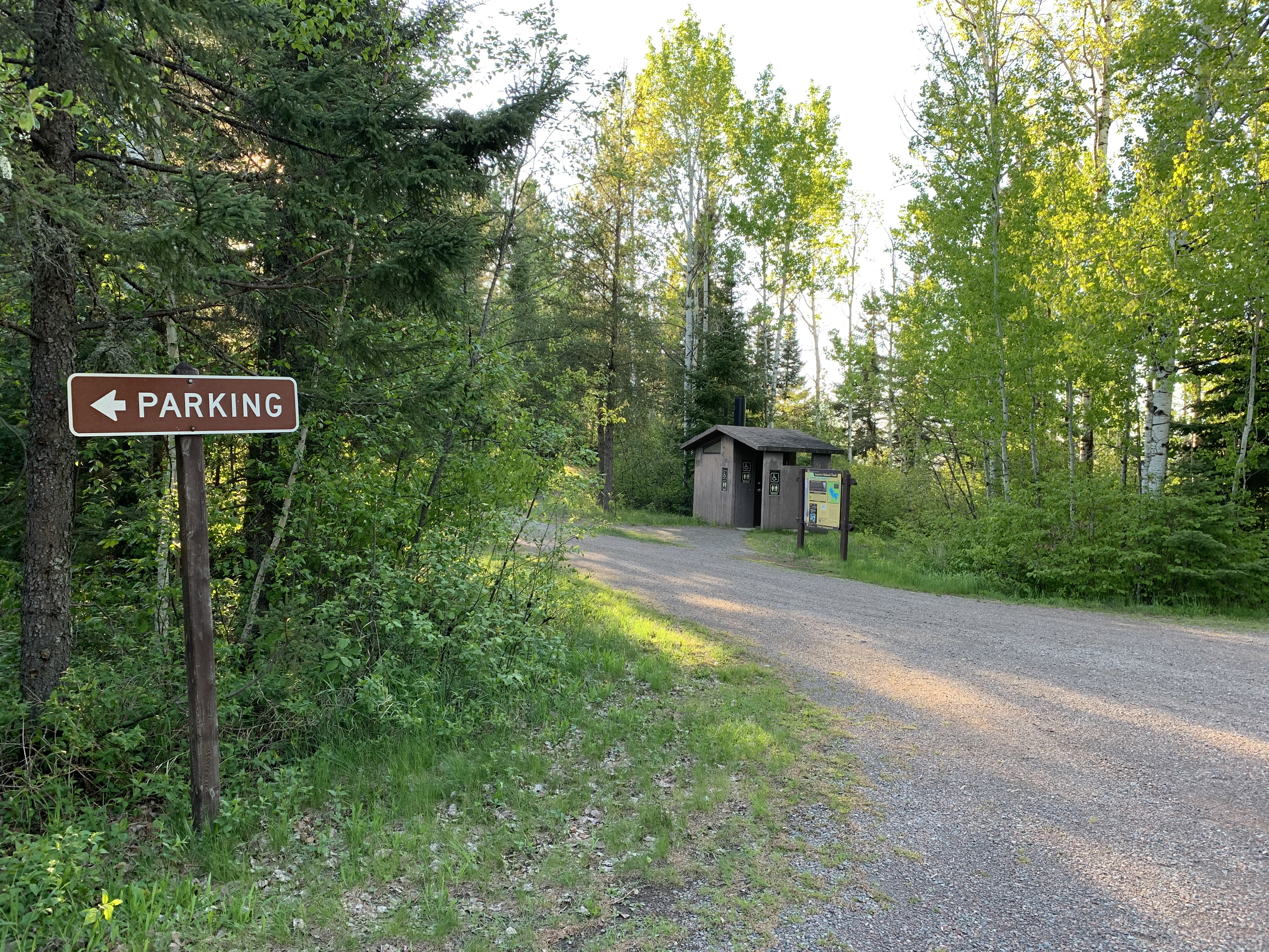
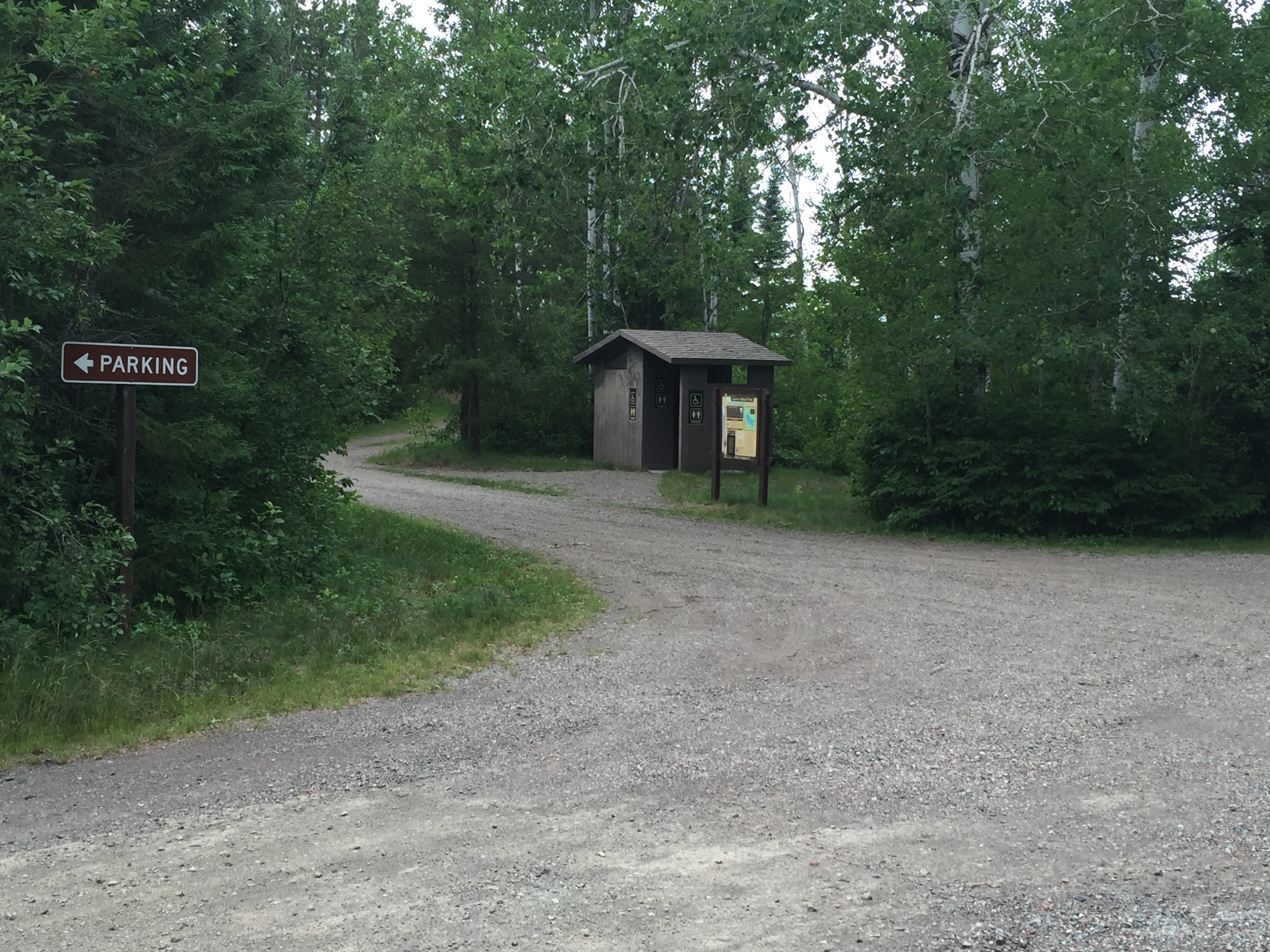
This sign is "a sign" that you are almost to Kawishiwi Lake.
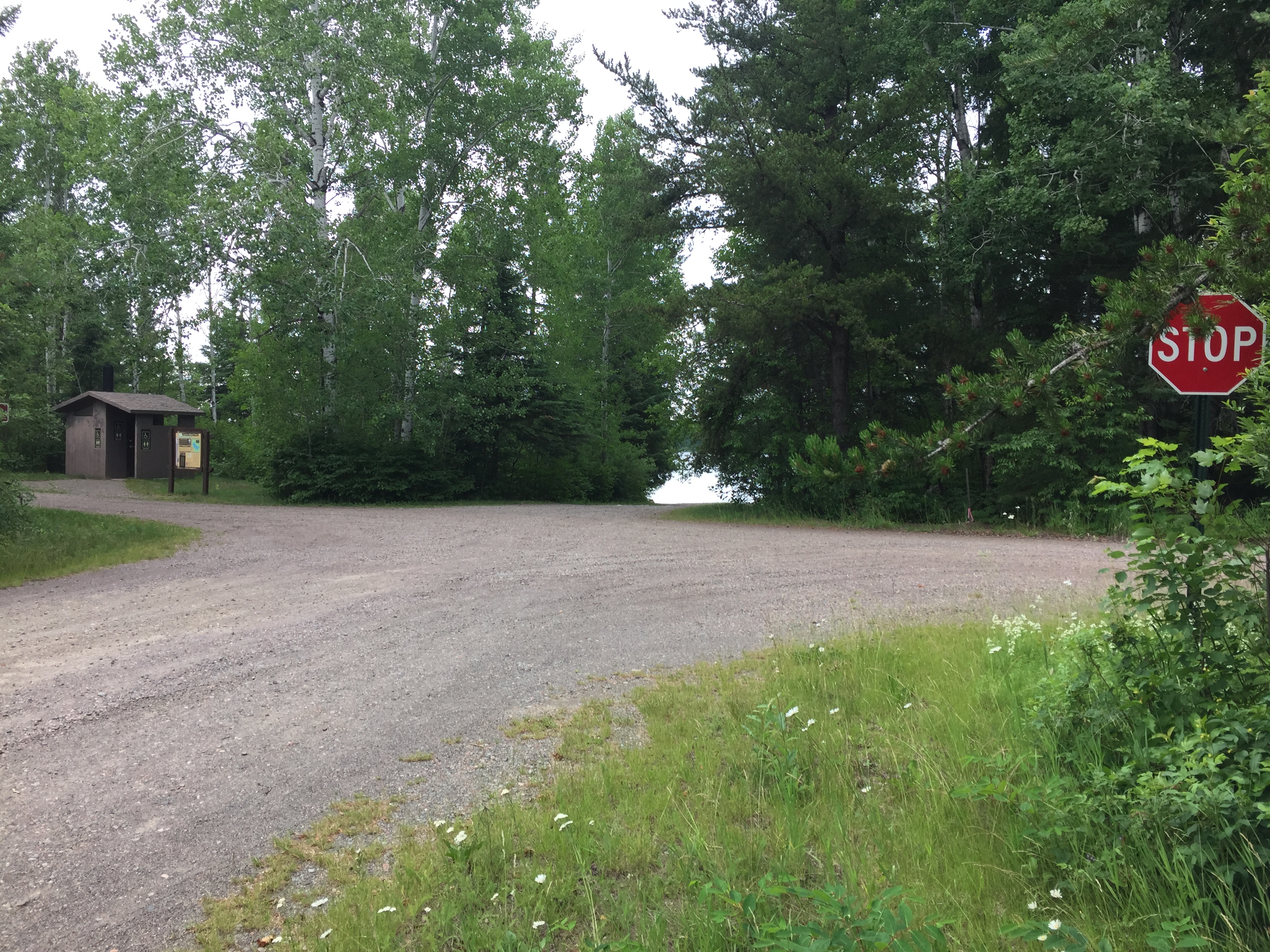
To get your bearings, the road you came in on is to the right. The Kawishiwi Lake Campground is to the left past the sign and restroom. The canoe landing and Kawishiwi Lake are straight ahead and the parking lot is behind you.
A brief tour of the Kawishiwi Lake entry point. It is all based around the four way intersection. One way goes to the Kawishiwi Lake Campground, another way goes to the canoe landing and the lake, yet another way is the parking lot and the last way is the access road that leads out to the main drag (May 31, 2021).
This is older footage of the this entry point (July 10, 2016).
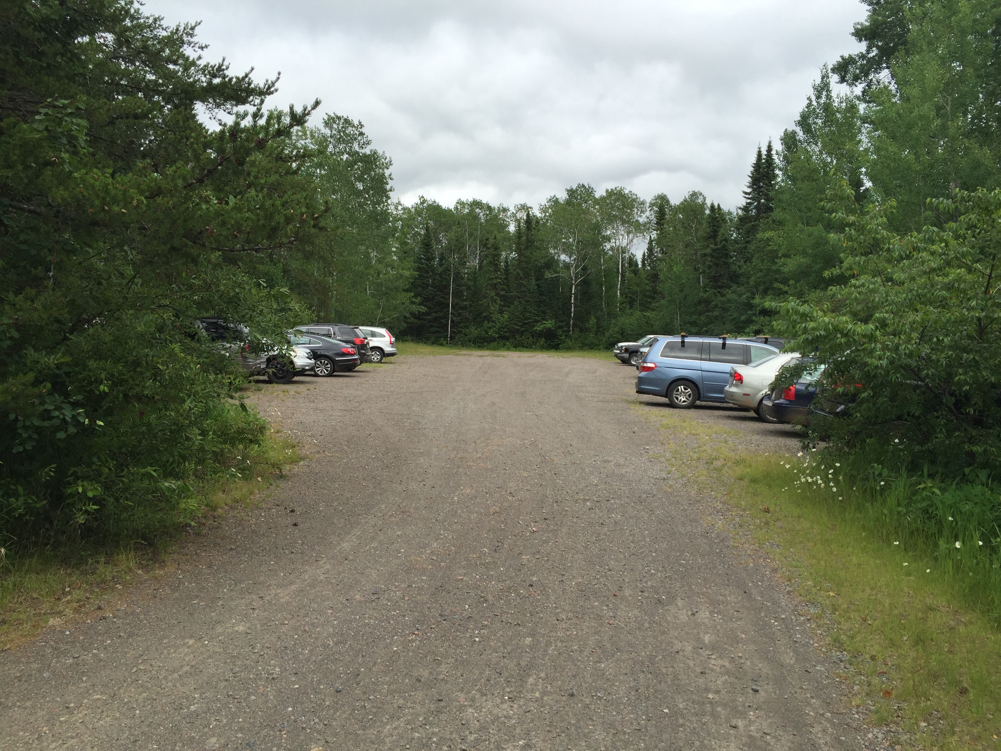
The parking lot is directly across the four-way intersection from the canoe landing (May 31, 2021).
Older image of the parking lot (July 10, 2016).
The restroom at the entrance to the Kawishiwi Lake Campground. The Kawishiwi Lake Rustic Campground is also down that road, past the restroom (May 31, 2021).
Generally the same view as above, but several years before (July 10, 2016).
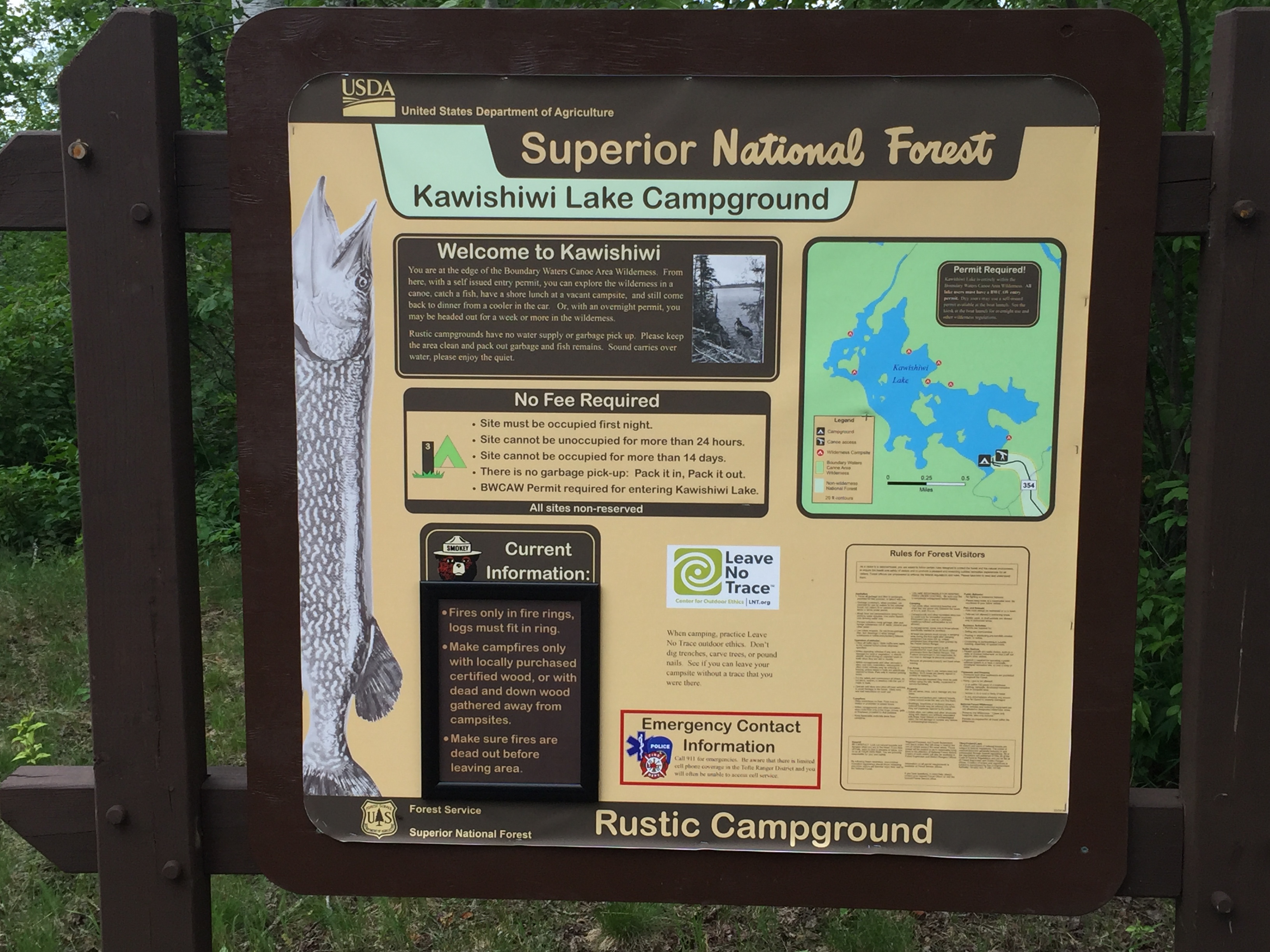
If you wish to camp here, read this sign. It appears to be a free place to stay "No Fee Required". If you use a BWCA day permit, you can camp here and paddle around the BWCA during the day (July 10, 2016).
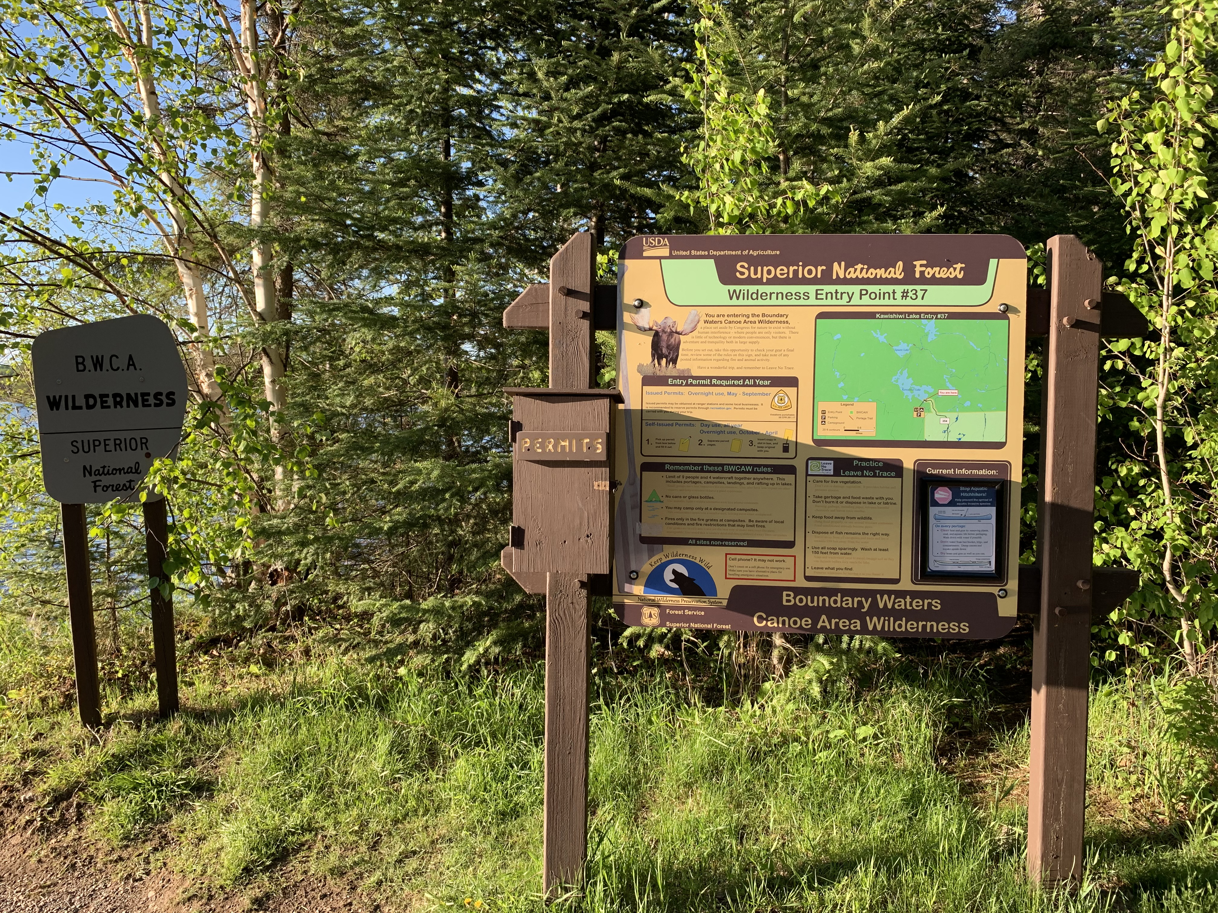
The familiar bulletin board. The sign to the left is an official BWCA boundary marker (May 31, 2021).
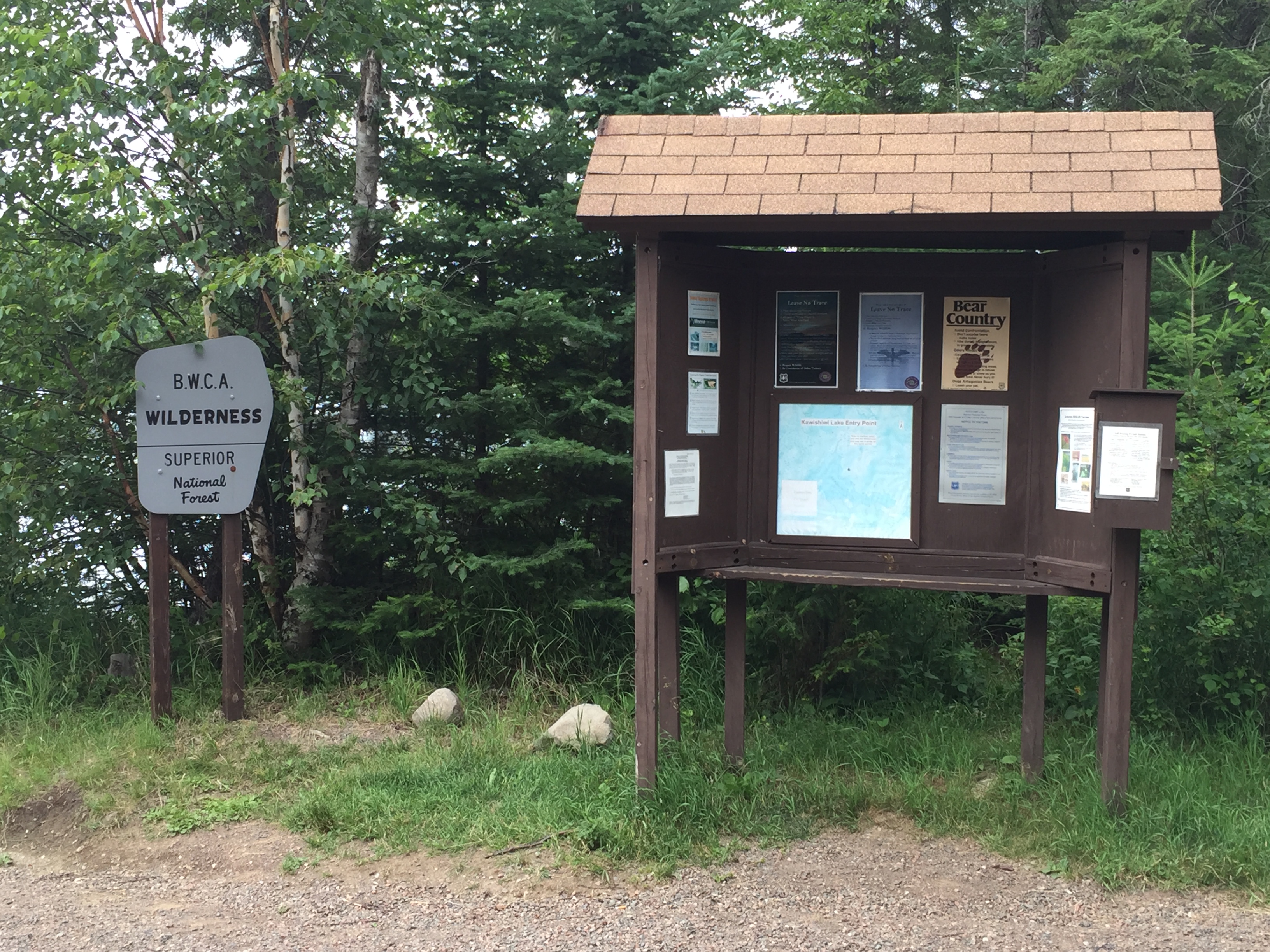
The previous bulletin board (July 10, 2016).
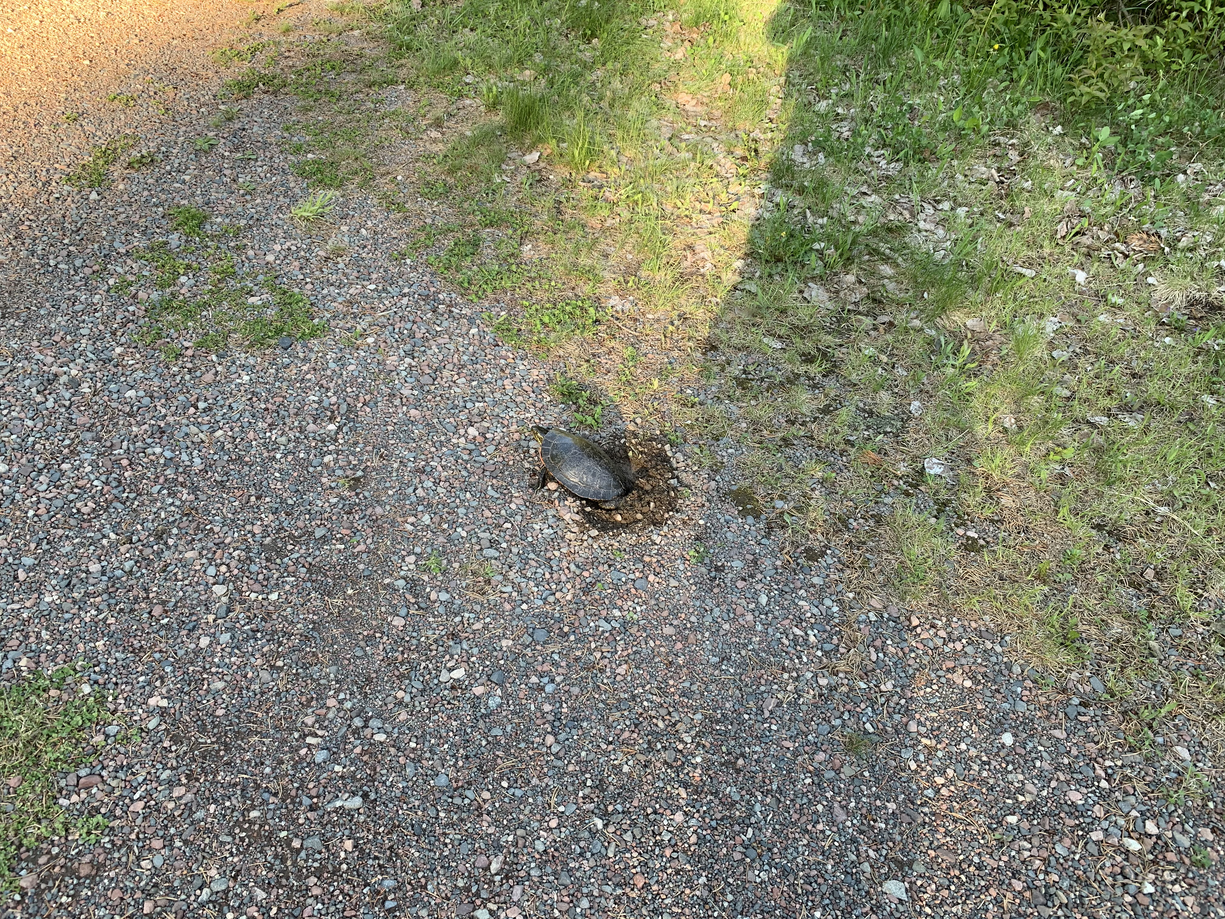
Female painted turtle laying eggs in the sand/gravel substrate of the road at the Kawishiwi Lake Rustic Campground. There were a half dozen turtles around doing this (May 31, 2021).
Looking out over Kawishiwi Lake toward the left from the entry point canoe landing (July 10, 2016).
And this is to your right. There is a decent beach here of fine gravel. Lake is also fairly shallow here (July 10, 2016).
A panoramic view of Kawishiwi Lake from the entry point. (It is wider left to right than this somewhat distorted view makes it seem.) (July 10, 2016)
Another view of the canoe landing in late spring (May 31, 2021).
Now that you've reached the shore of the lake, visit:KAWISHIWI LAKE