Campsites: 1 (accessed via short trail once you reach Big Moose Lake); Campsite
Highest Trail Elevation: Unknown
Last Visited: September 27, 2020
Scenic Overlooks: Marsh and Big Moose Lake
TRAIL CONNECTIONS AND TRAILHEADS:
Connections: None
Trailheads: Big Moose Lake Trailhead
Big Moose Trail
Click on the photos below to see the full resolution image - Use your browsers back button to close photo and return to this page.
LaCroix Ranger District
From the parking lot, it is about 2 miles to the shore of Big Moose Lake in the Boundary Waters. This hiking trail is mostly just a peaceful walk through the forest. You don't officially enter the BWCA until you are getting close to the lake. There are only a couple of scenic overlooks, one at a marsh and another at the end of the trail when you arrive at Big Moose Lake. See BWCA Entry Point 76 for description and views of the road access. Note: This is not a canoe portage. To access Big Moose Lake with a canoe, see BWCA Entry Point 8 - Moose River South.
There is a campsite at the end of the trail on Big Moose Lake. You must take a short trail along the lake to get to it. It is a nice campsite, but would be breezy if the wind is up from the south.
Hiking the Big Moose Trail
Click on the photos below to see the full resolution image - Use your browsers back button to close photo and return to this page.
Start of the trail. This entry point still has the old style bulletin board (September 2020).
The entire trail is easy to follow. There are a few sections that go over expansive table rocks, but their are usually cairns to mark the way. The trail is a tad over 2 miles in length. Most of the trail is flat, but there are a few ups and downs. Only a few muddy or water filled depressions dot the path and this was just one day after a half-inch rain. Looks like the U.S. Forest Services does a pretty good job of maintaining it. The only real views are toward the end of the trail. It's just a nice walk through the woods otherwise. Fall is a particularly nice time to do this hike.
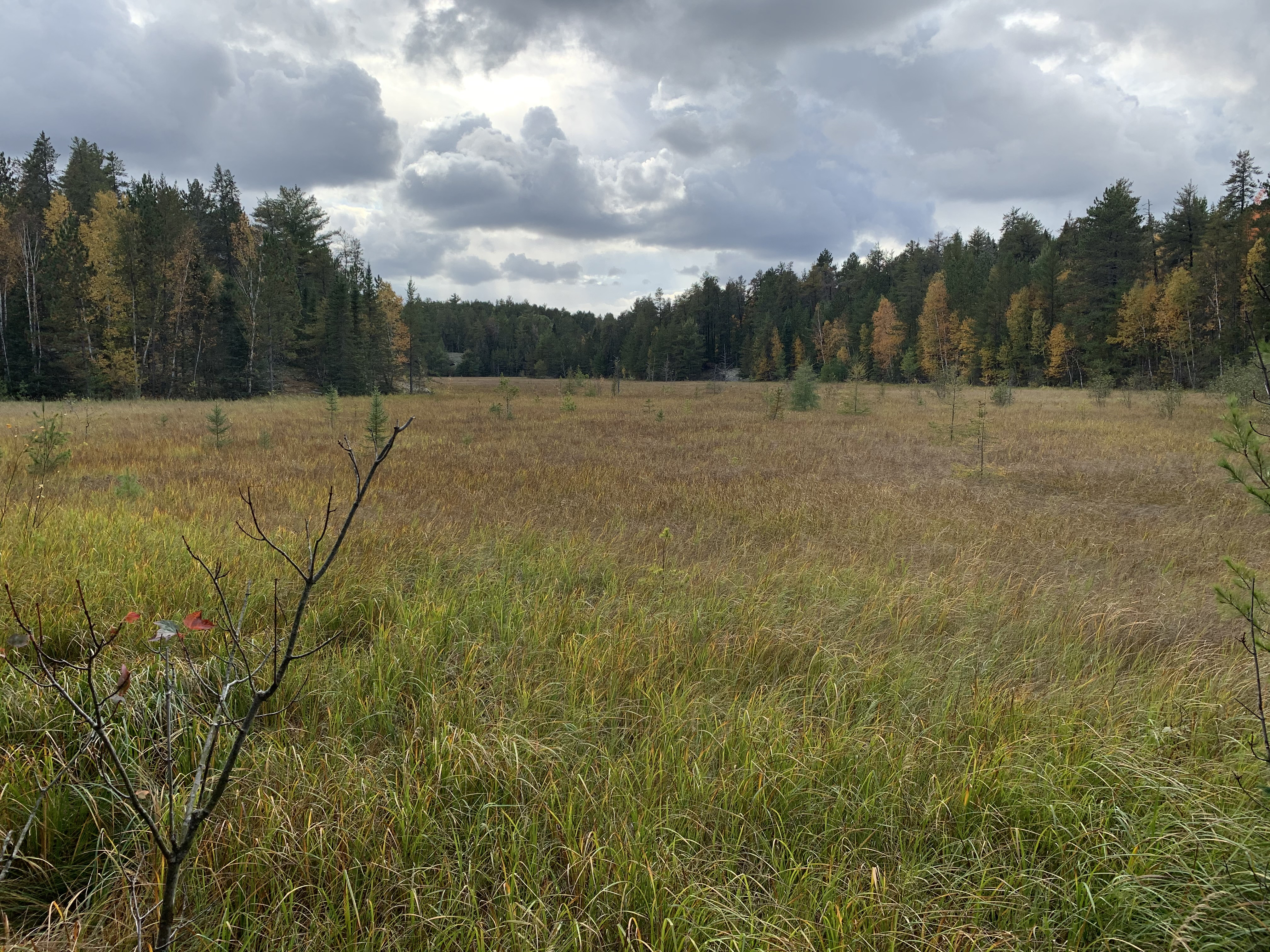
There aren't many expansive views along this trail. This is a view of an old lake bed that has filled in to become a marshland.
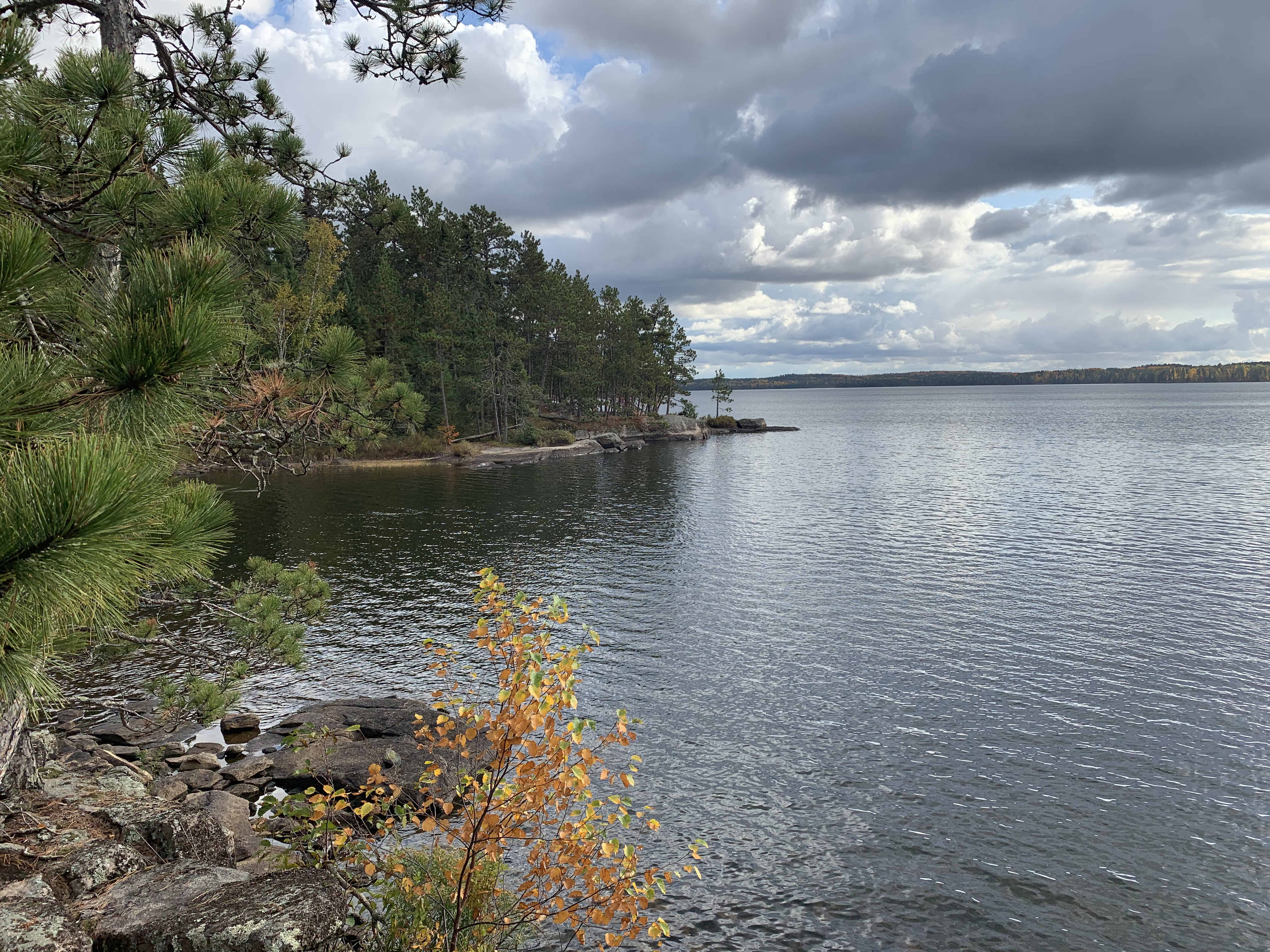
Big Moose Lake from the end of the trail.
From the end of the Big Moose Trail, you can see the nearby campsite over on that point (middle of view). Just follow the trail along the lake to walk over there.
This trail hugs the lakeshore. It is a bit brushy in places, but easy enough. It goes from the end of the Big Moose Trail over to the nearby campsite on the point.