Entry Point 56 - Kekekabic Trail (East)
Gunflint Ranger District
From Grand Marais, Minnesota, follow the Gunflint Trail for about 51 miles to the Larch Creek entry point parking lot. It is located right on the side of the Gunflint Trail. It is on the right side of the road, just a couple hundred feet past the Seagull Lake Guard Station. There is also a small sign saying "Larch Creek" where the stream passes under the Gunflint Trail.
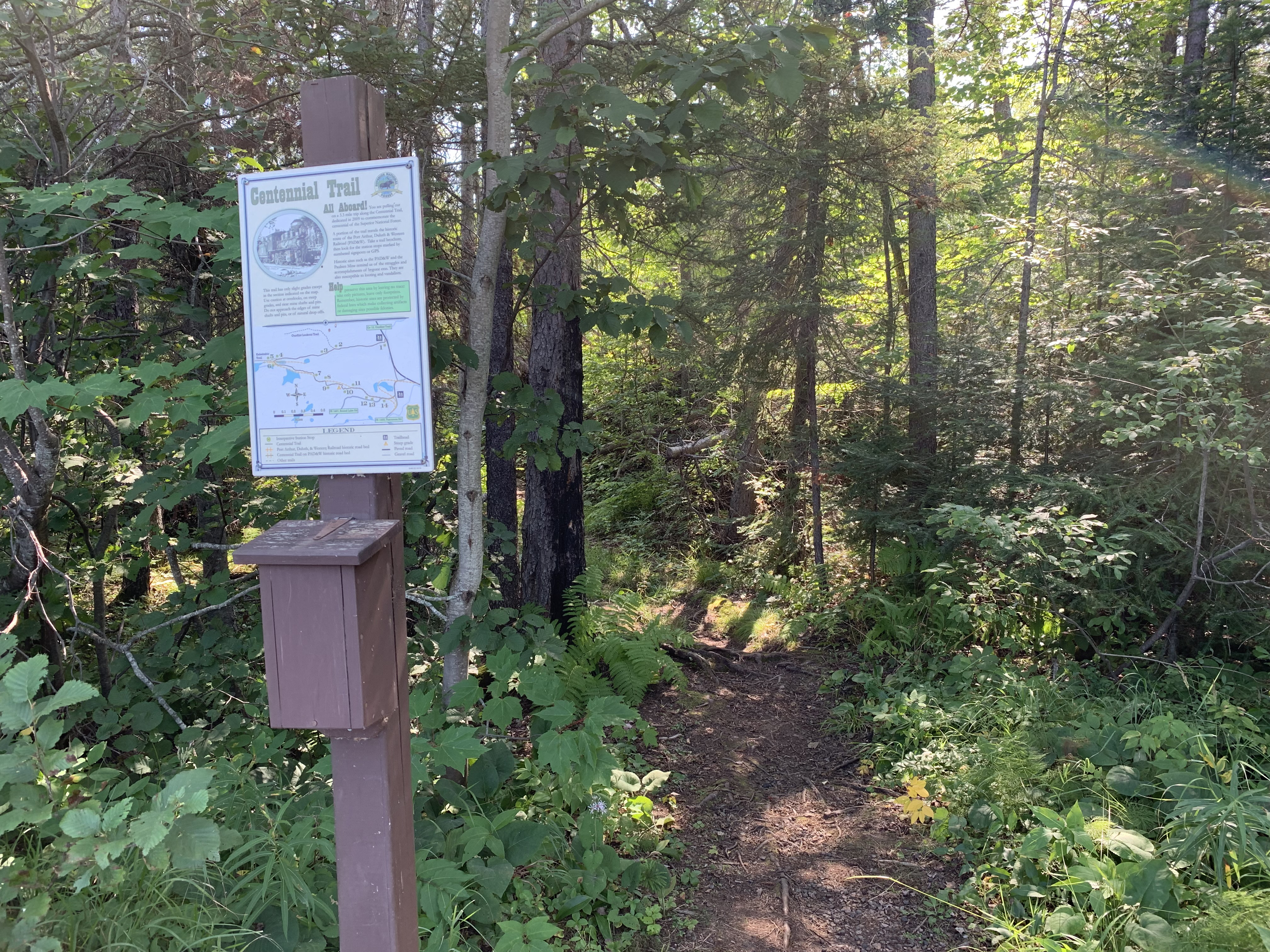
This is the trailhead for both the Kekekabic Trail and the Centennial Trail. The Centennial Trail runs conterminus with the Kekekabic Trail for the first mile or so and then breaks off to the south, eventually forming a loop back to this trailhead. The Centennial Trail has several kiosks along it detailing historical information about this area. The trail passes near to the Paulson Mine. A spur of the Port Arthur, Duluth and Western Railroad was located where the trail is today.
The Kekekabic (or Kek) Trail is a linear trail that has its western terminus near Snowbank Lake, which is about 42 miles away. If you wish to continue further east from this point, just head a few hundred feet north up the Gunflint Trail. On the otherside of the road you'll find the trailhead for the Border Route Trail (BRT). This is also the trailhead for the Magnetic Rock Trail. That trail continues another 65 miles east until it connects to the Superior Hiking Trail. So from this point it is possible to hike across the BWCA over to Lake Superior and down the North Shore to Duluth and even to the Wisconsin-Minnesota border, a distance of about 415 miles. Once at the Wisconsin Border, you can even continue along the North Country National Scenic Trail (NCNST). That trail continues all the way to New York in the eastern United States. Note that the Kekekabic Trail and the Border Route Trail are now part of the NCNST. The Superior Hiking Trail are also part of the NCNST.
The Kekekabic Trail Club maintains the Kekekabic Trail. They also publish an excellent trail guide for it. For more information check out their website.
Exploring the Entry Point
Click on the photos below to see the full resolution image - Use your browsers back button to close photo and return to this page.
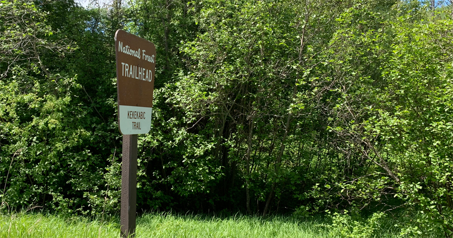
Road sign you'll see when you are close to the entry point along the Gunflint Trail.
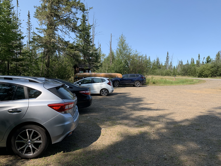
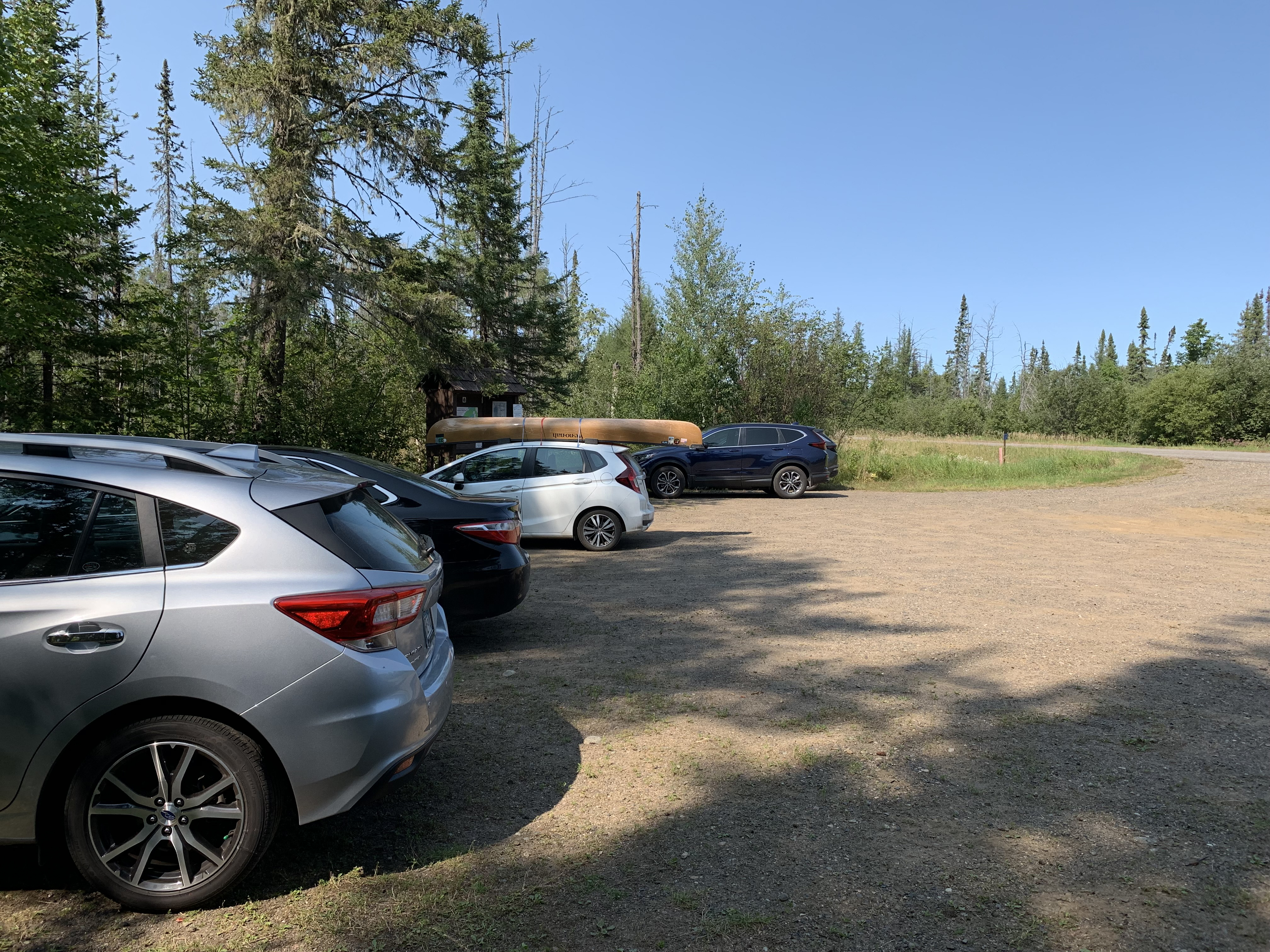
Parking lot is good for about 10 vehicles.
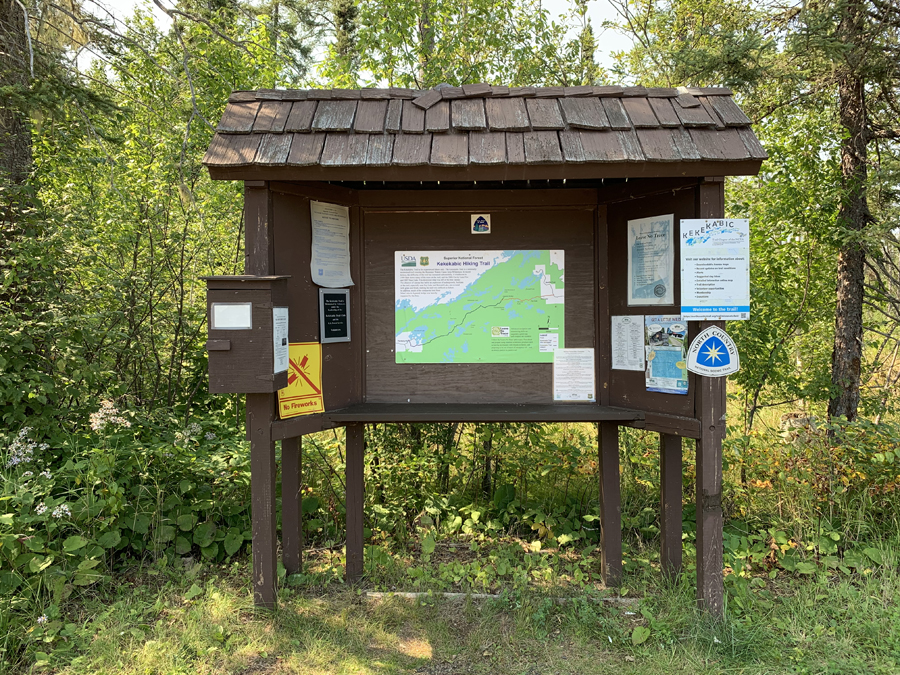
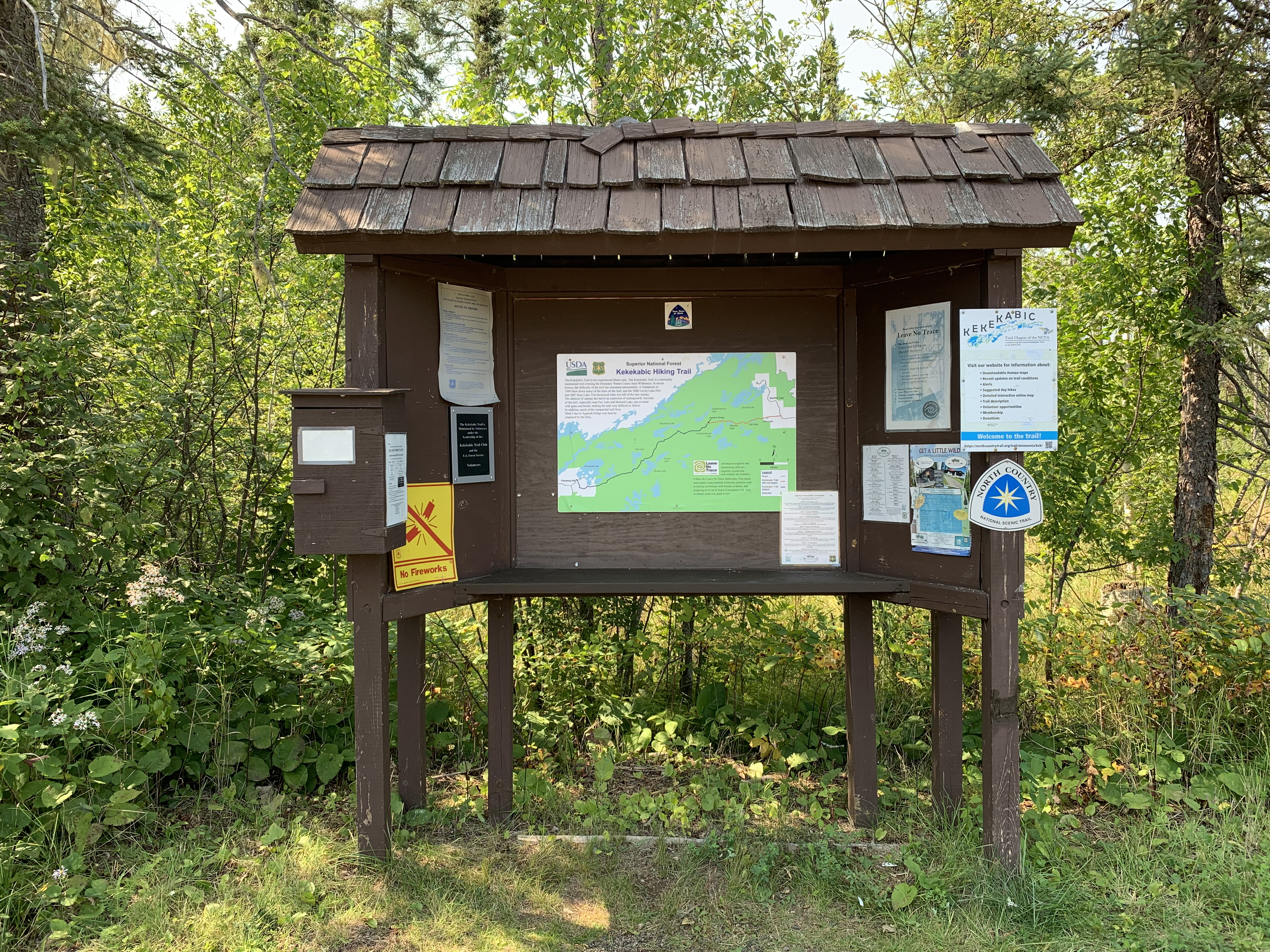
The bulletin board.
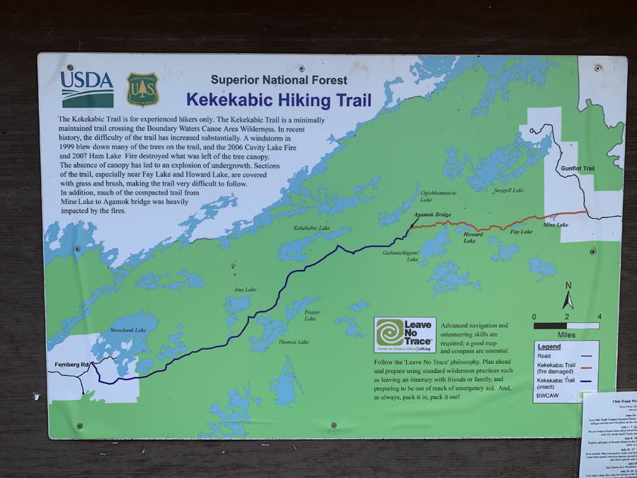
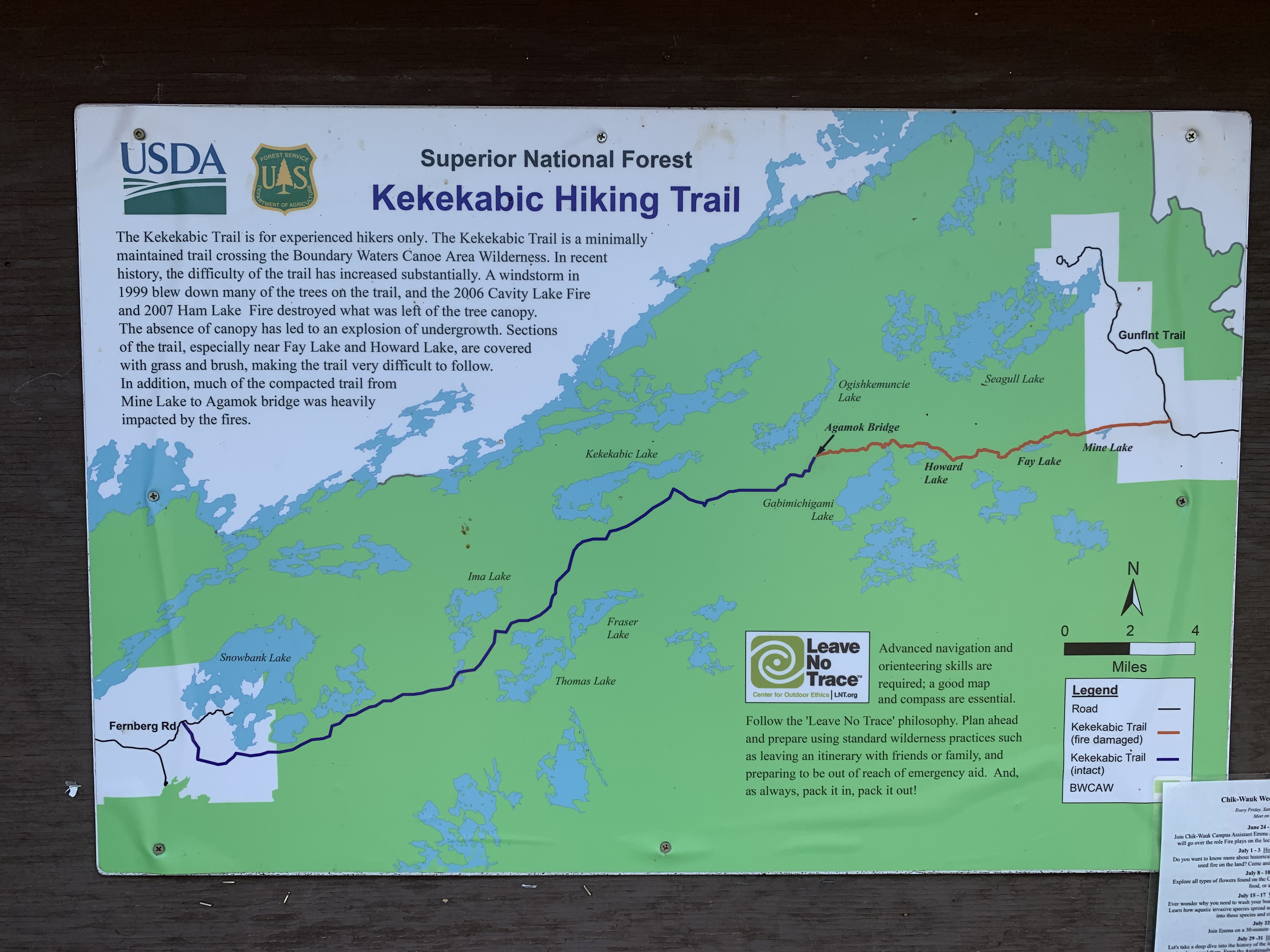
Map of the Kek. Note that you will be traveling (headed west) through area burned by the Cavity Lake Fire of 2004 and the Ham Lake Fire of 2007 until you reach the Agamok Bridge crossing.
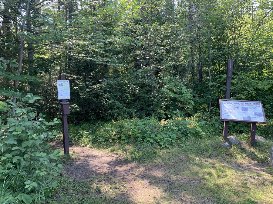
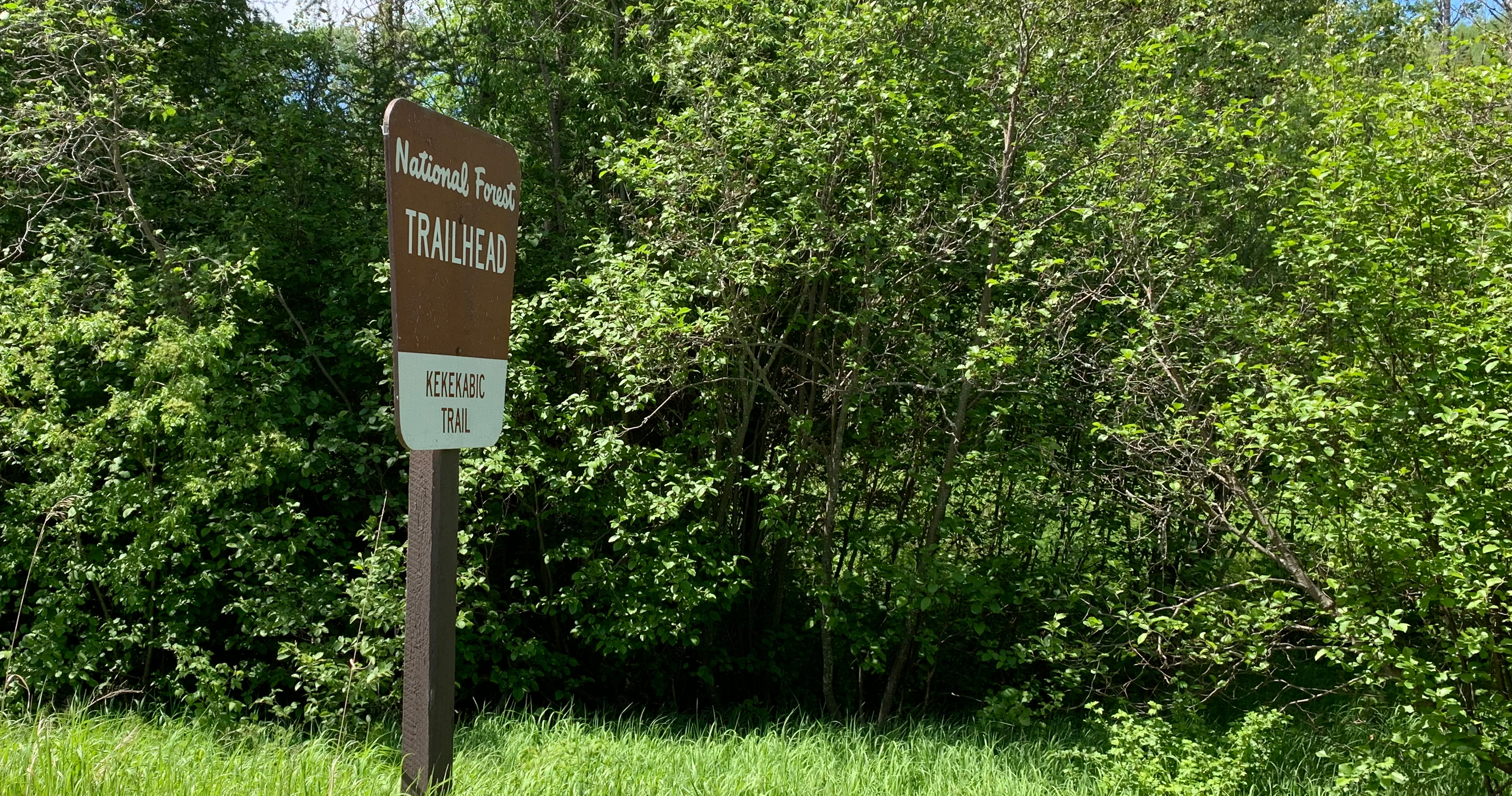
Start of the Kekekabic Trail. This is also the start of the Centennial Trail (information sign about this trail is on the right side of your view).

The first few feet of the trail are visible to the right of the sign.
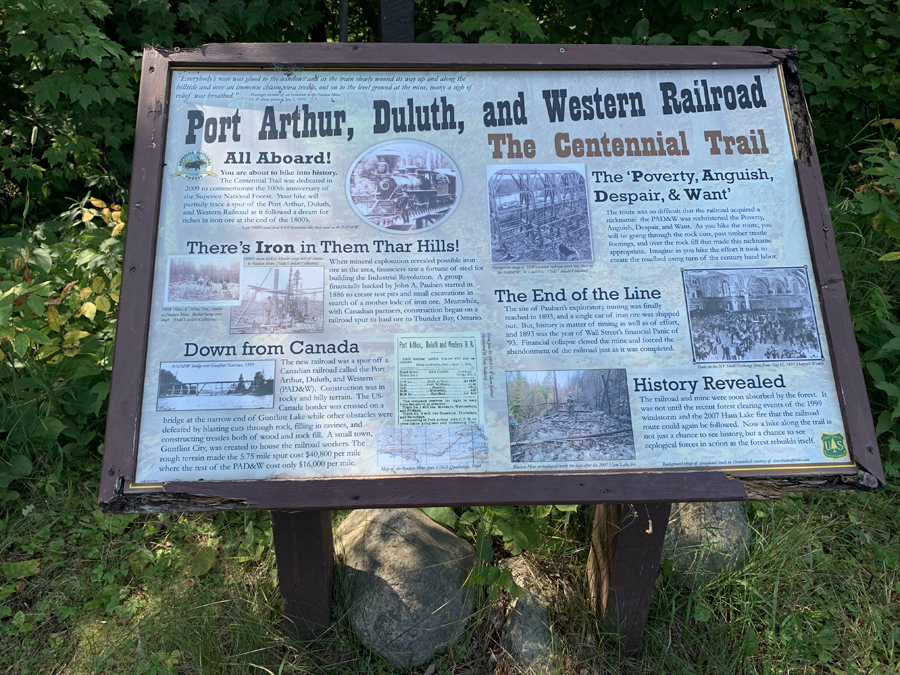
Historical information about the Centennial Trail.
Now that you've reached the trailhead, start hiking the: KEKEKABIC TRAIL
Return to List of BWCA Entry Points (sorted by Entry Point Name or by Entry Point #)
|