Last Visited: September 2, 2024; Previous Visit(s): September 4, 2022
Maps: Fisher F-19, F-20; McKenzie #6
Daily Quota: 1
Fire History: 2007 Ham Lake Fire
Nearest Ranger Station: Gunflint Ranger Station, Grand Marais, MN along Hwy. 61 on the North Shore
Portage Length from Parking Lot: None
Restroom at Entry Point: No
Entry Point 80 - Larch Creek
Gunflint Ranger District
From Grand Marais, Minnesota, follow the Gunflint Trail for about 51 miles to the Larch Creek entry point parking lot. It is located right on the side of the Gunflint Trail. It is on the right side of the road, just a couple hundred feet past the Seagull Lake Guard Station. There is also a small sign saying "Larch Creek" where the stream passes under the Gunflint Trail.
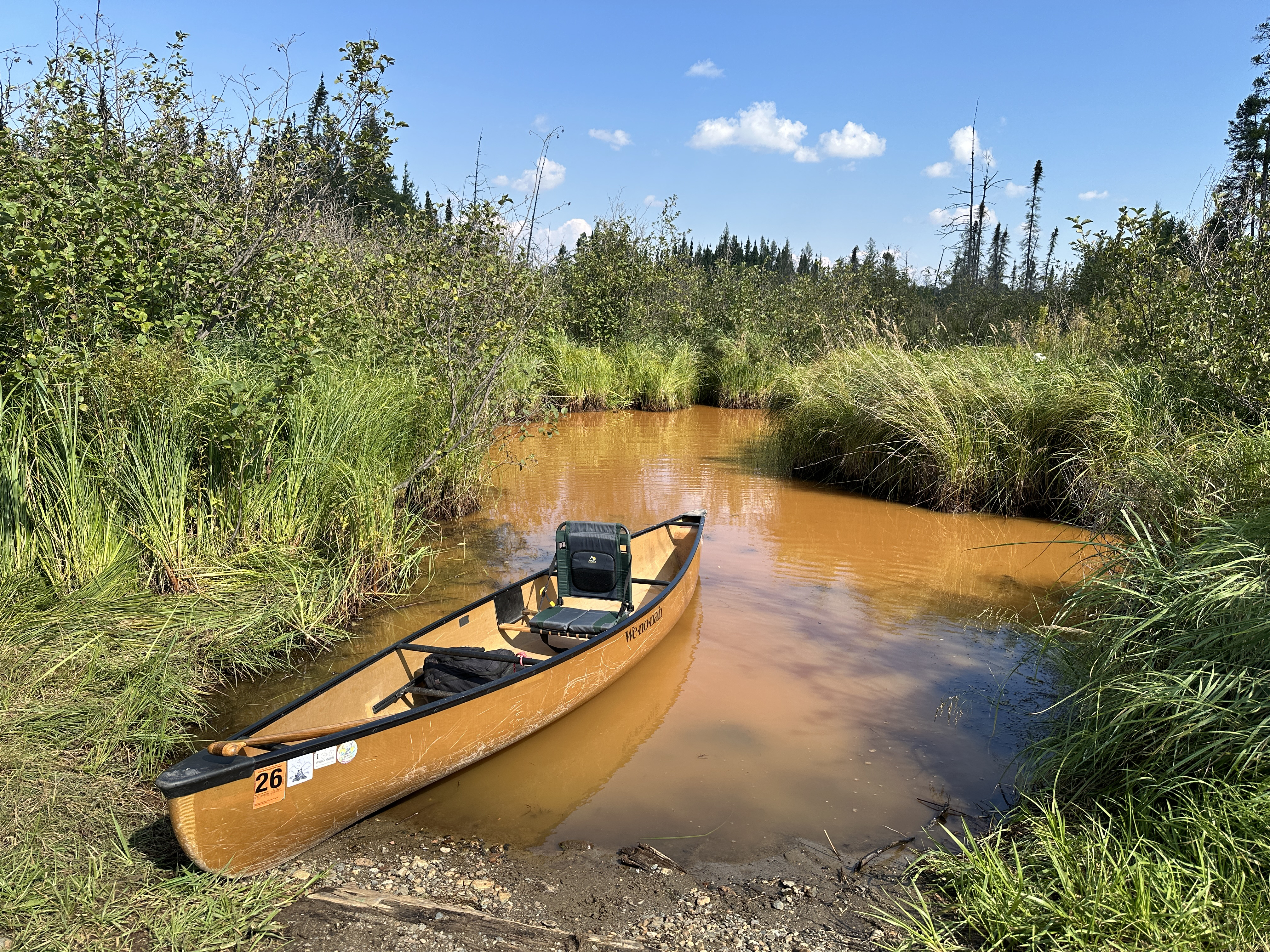
From the tiny parking lot next to the road, it is but a short walk down the hill to the landing on Larch Creek. You can't see much of Larch Creek from the landing as the creek makes a sharp turn just downstream of the landing. The tall grass and brush growing along the stream obscure more distant views. During the late summer, the creek can take on an unsavory pea green color. This is the result of algal blooms caused by stagnant water.
The entry point itself is rather exposed and windblown. This area was in the midst of the 2007 Ham Lake fire and has not recovered its tree canopy yet.
From the landing, it is about 1.5 miles downstream to Larch Lake. Expect many beaver dams to impede your progress. Water levels on Larch Creek are rarely and issue, but when they are really low you may get stuck in a few spots.
Exploring the Entry Point
Click on the photos below to see the full resolution image - Use your browsers back button to close photo and return to this page.
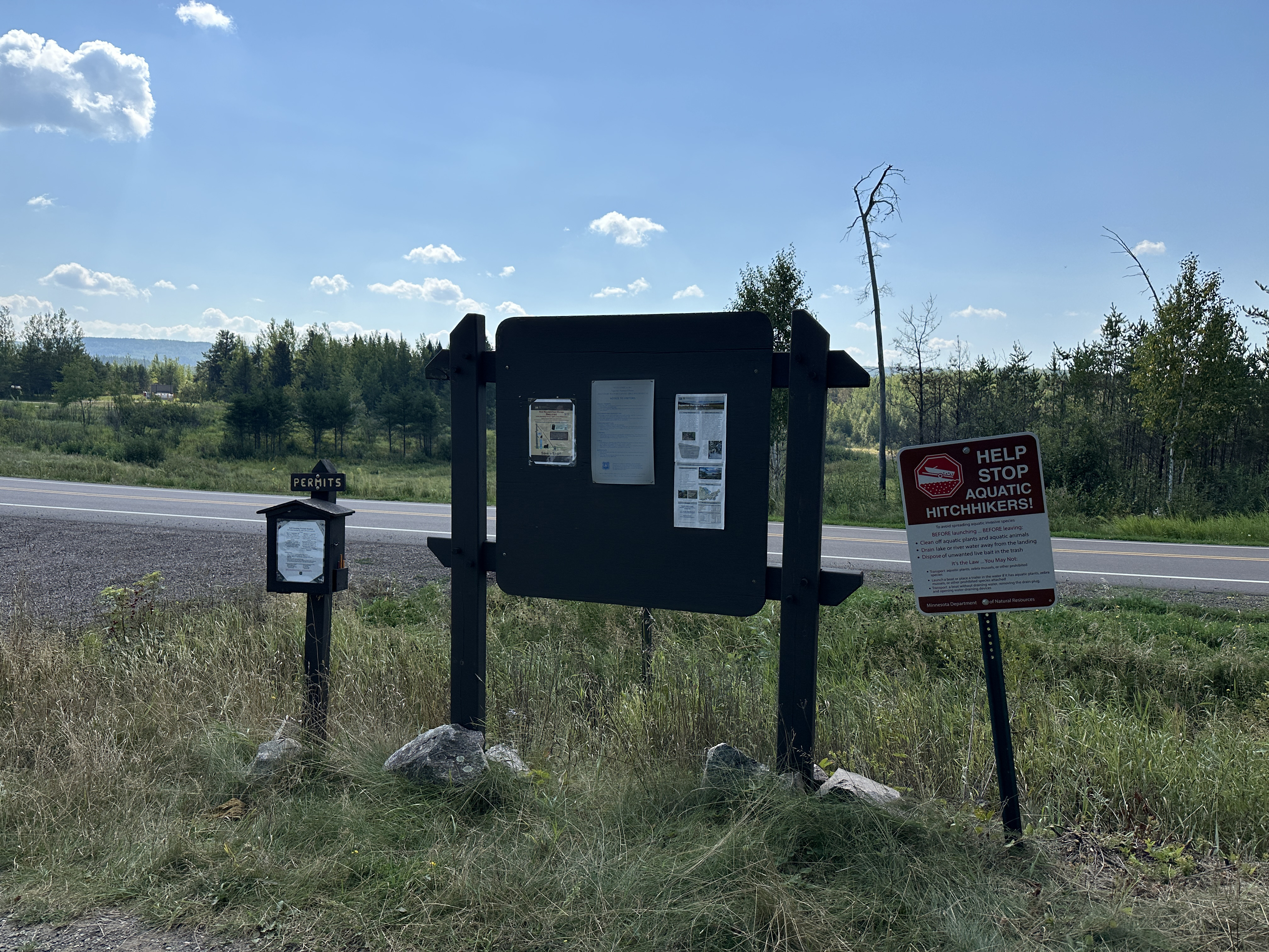
The bulletin board is missing the usual U.S. Forest Service display. That is the Gunflint Trail (road) in the background). If you just want to do a day trip down Larch Creek to Larch Lake, the permits for that are in the box on the left (September 2, 2024).
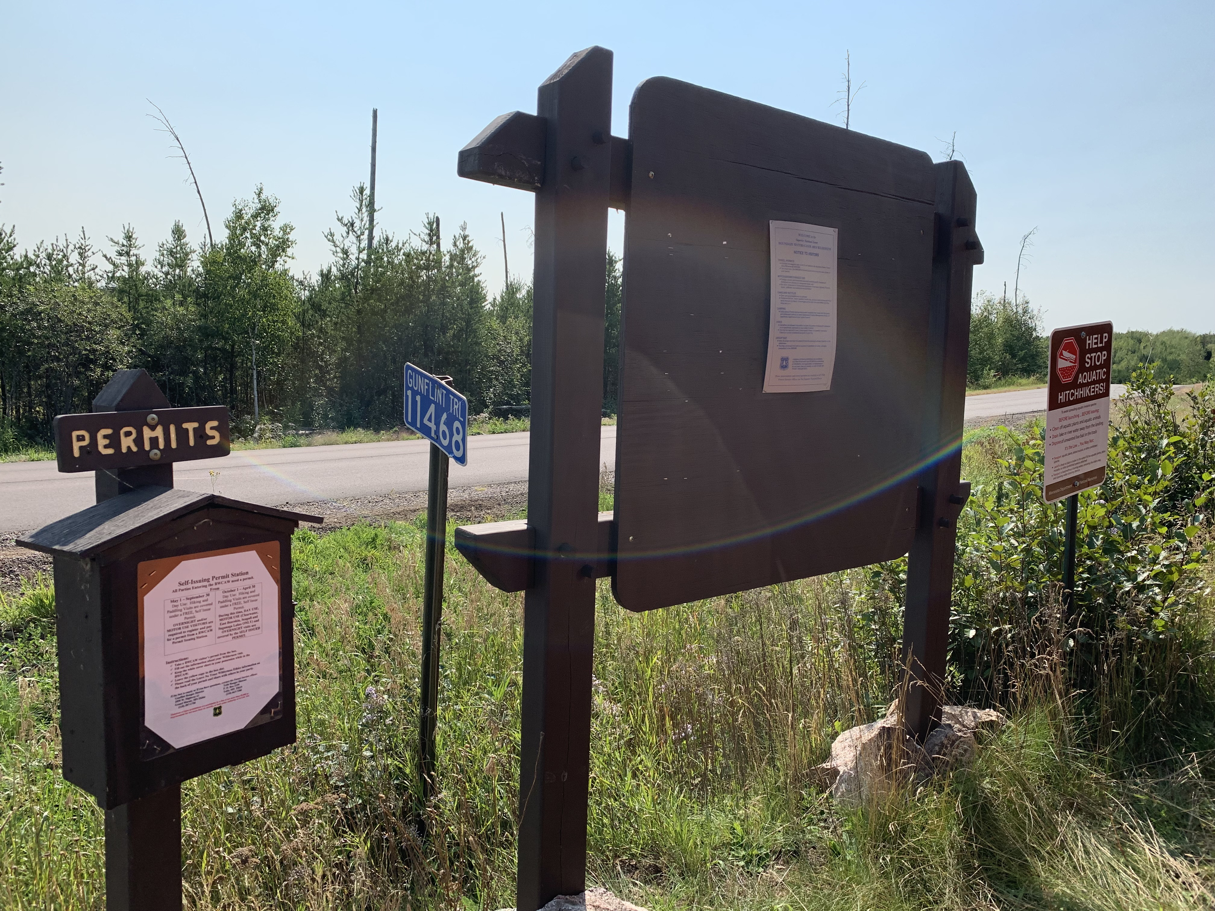
View of this sign from a couple years earlier (September 4, 2022).
Tour of the Larch Creek entry point along the Gunflint Trail (September 4, 2022).
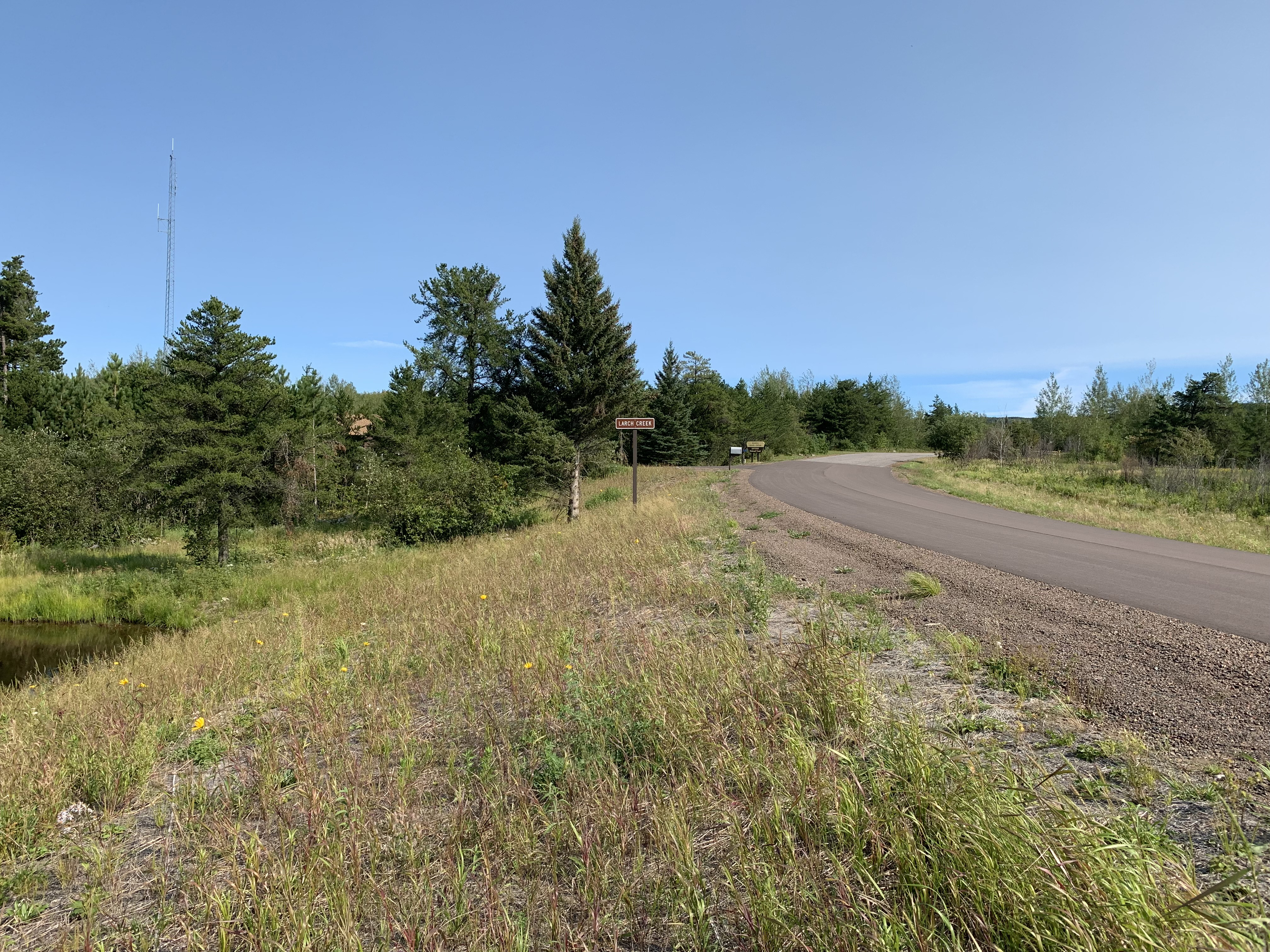
South/east bound view of the Gunflint Trail. The small sign in the middle of your view is the road sign indicating that you are crossing Larch Creek. In the distance, just right of center, you can see the signage and driveway entrance to the Seagull Guard Station (September 4, 2022).
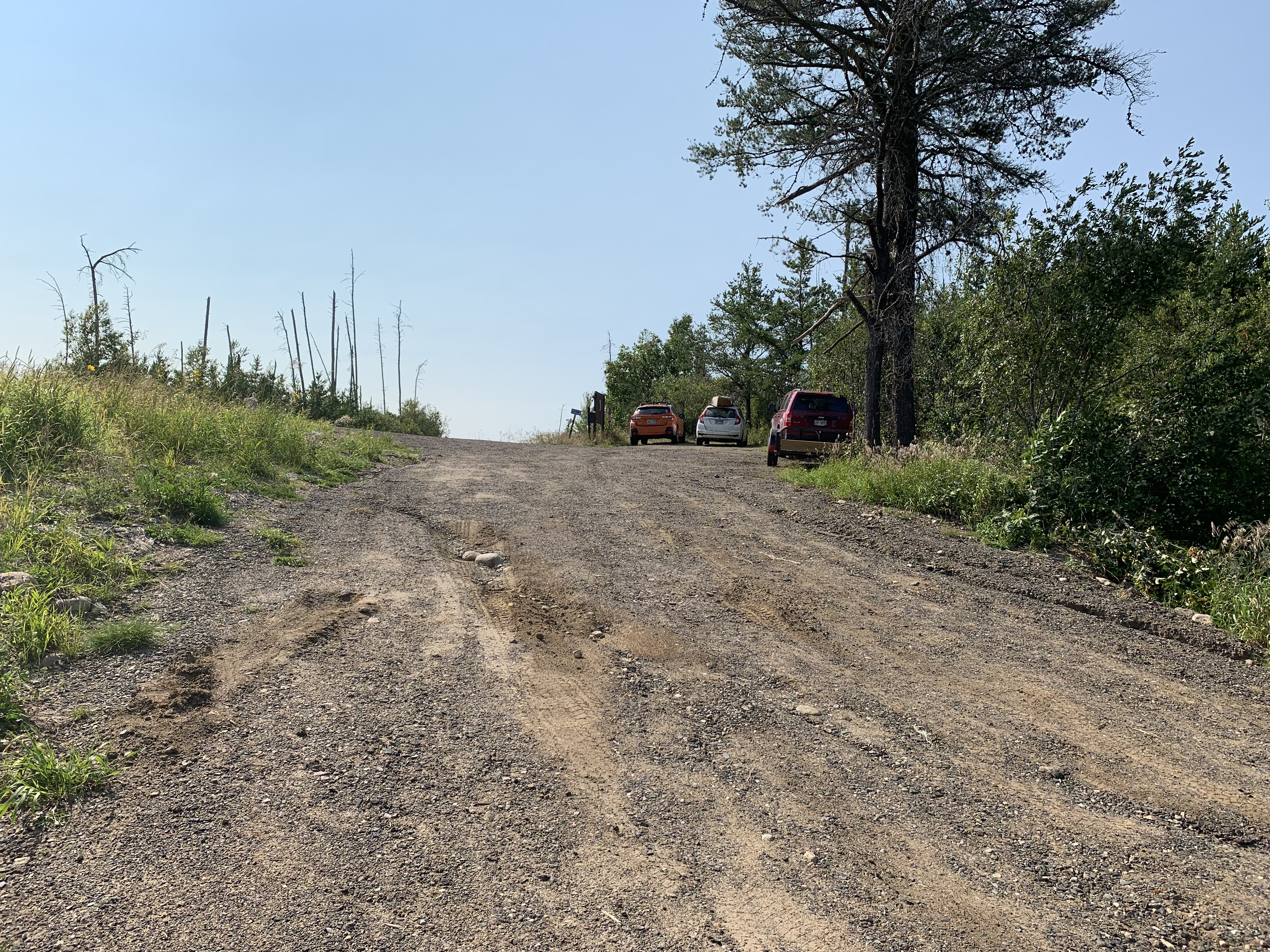
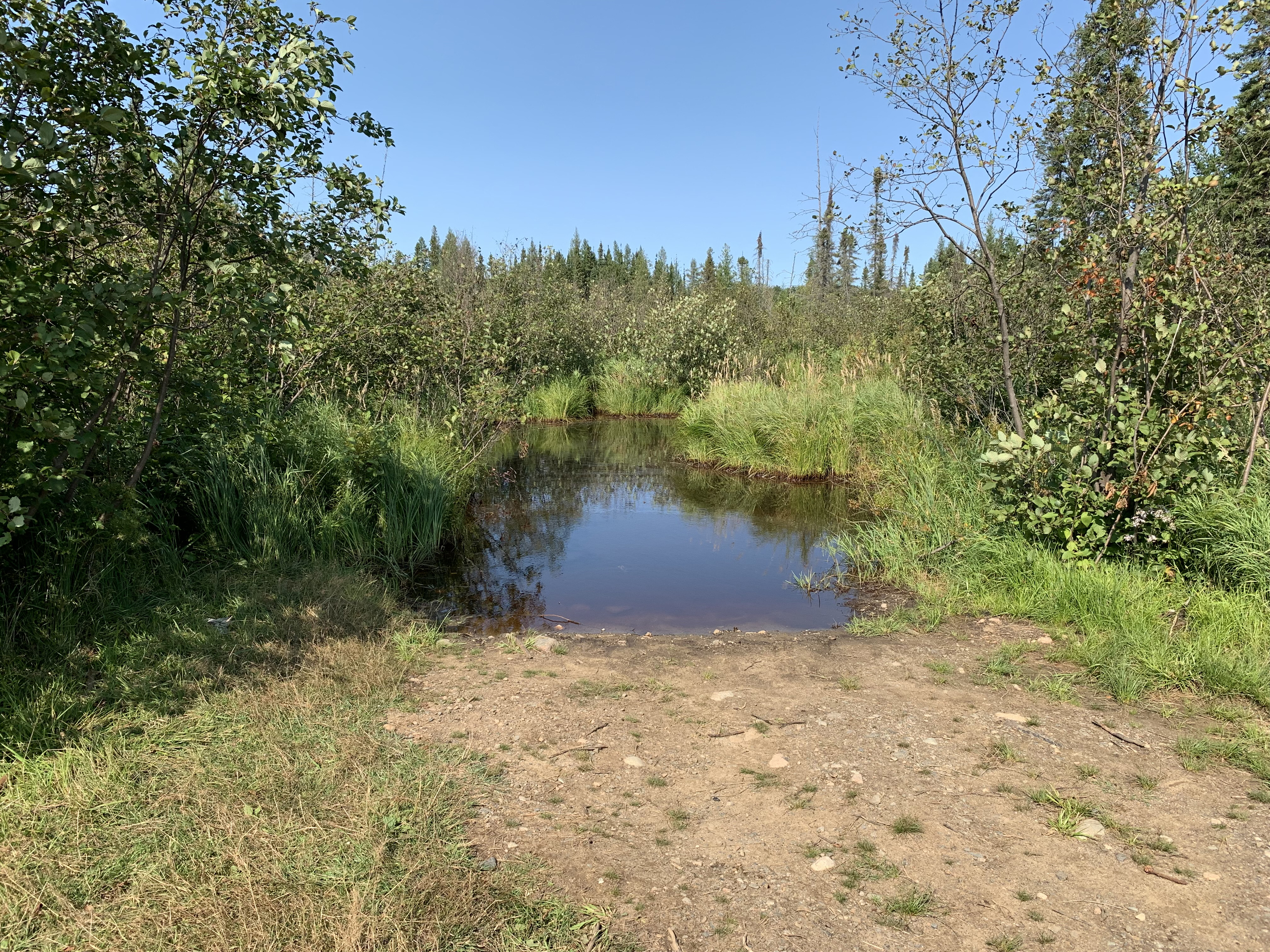
Park at the top of the hill. The landing is just to the right (out of view) (September 4, 2022).
The entry point landing on Larch Creek. The greenish water color is from an algal bloom. This is typical of late summer, especially if water level in the creek is low (September 2, 2024).
The landing as it appeared a couple years earlier (September 4, 2022).
Now that you've reached the shore of the lake, visit:LARCH CREEK