Nearest Ranger Station: Kawishiwi Ranger Station in Ely
Trail Length from Parking Lot: About 30 miles
Restroom at Entry Point: No
Entry Point 15 - Sioux-Hustler Trail
LaCroix Ranger District
From Ely, drive to the Echo Trail and follow it west about 39 miles (total distance from Ely). The parking lot is on the right (small sign here). Follow the access road a short ways to the parking lot.
If coming from Orr, Minnesota, take St. Louis County Road 23 to the town of Buyck (about 16 miles). From that town, County Road 23 turns into County Road 24. Continue on that road for another 4 miles or so to the Echo Trail (which is also known as County Road 116). Turn right on the Echo Trail and proceed about 17 miles to entry point access road on left (there is a small sign here). Follow the access road a short distance to the parking lot.
Most hikers on the Sioux-Hustler Trail are here for a day hike and head for the Devil's Cascade. The Cascade is a series of small waterfalls and rapids through which the waters of the Little Indian Sioux River tumble about 75 feet. There is also a canoe portage at the Devil's Cascade allowing paddlers along the river to bypass the gorge. If you are day hiking here, you need to fill out a permit found in the box on the bulletin board in the parking lot.
If you are doing the whole Sioux-Hustler Trail, it's about a 30 mile hike. The first 4 miles or so follow along the east side of the Little Indian Sioux River. About 2 mile after the trail leaves the river, it comes to a 'Y' intersection. This intersection is just past the portage crossing that runs between Lower Pauness Lake and Shell Lake. (Just hike this portage on either side of Sioux-Hustler Trail if you want to see those lakes.) Once you reach the 'Y' intersection, you can choose to hike a 18 mile loop going either clockwise or counterclockwise. The trail is basically a 'loop on a stick'. You return the same route back to the parking lot (the 'stick' part). If headed to the Devil's Cascade, go to the left (clockwise). It's about 3/4 mile from the 'Y' intersection. The north side of the loop part of the trail is harder to follow than the southern side. You should bring maps, compass and GPS. The section of trail out to the Devil's Cascade gets a lot of use and is easy to follow, but some sections of the loop are often difficult to follow. Watch for rock cairns and cut logs along the trail to help guide you and keep you on the trail.
Exploring the Entry Point
Click on the photos below to see the full resolution image - Use your browsers back button to close photo and return to this page.
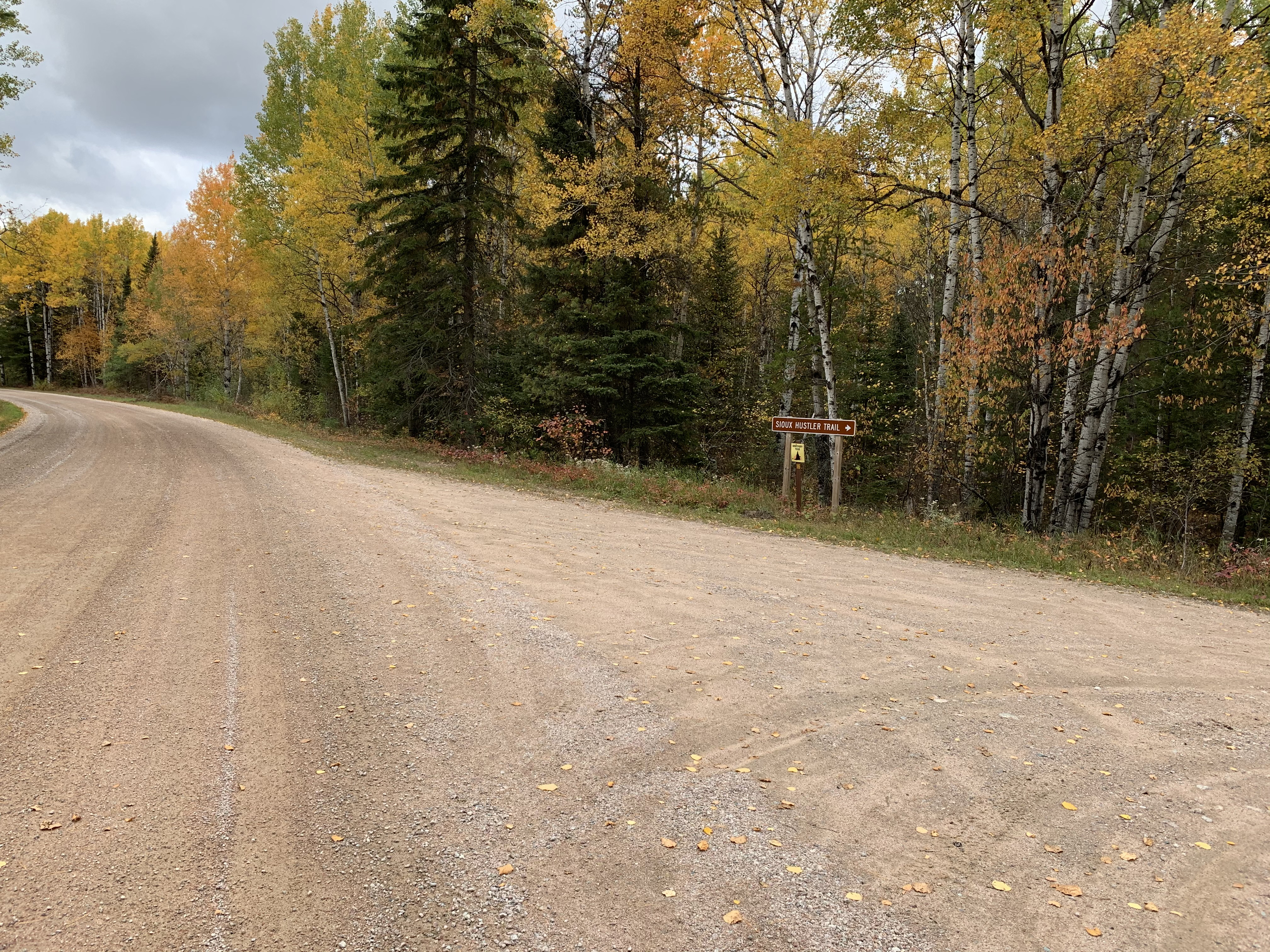
Small sign along the Echo Trail indicating the access road for the Sioux-Hustler Trail.
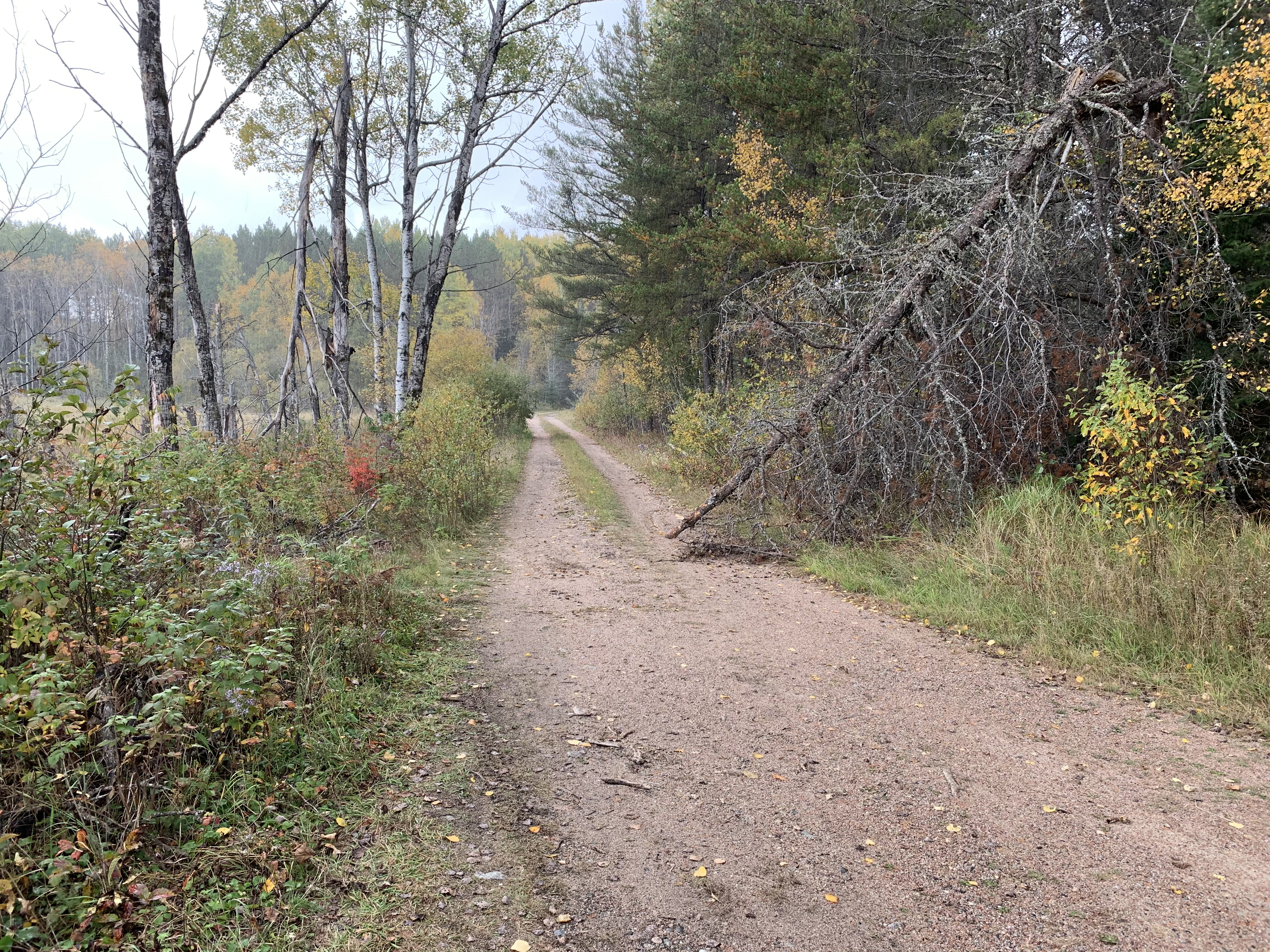
The access road is in decent condition. Relatively flat with few potholes. Small passenger cars can easily drive its length.
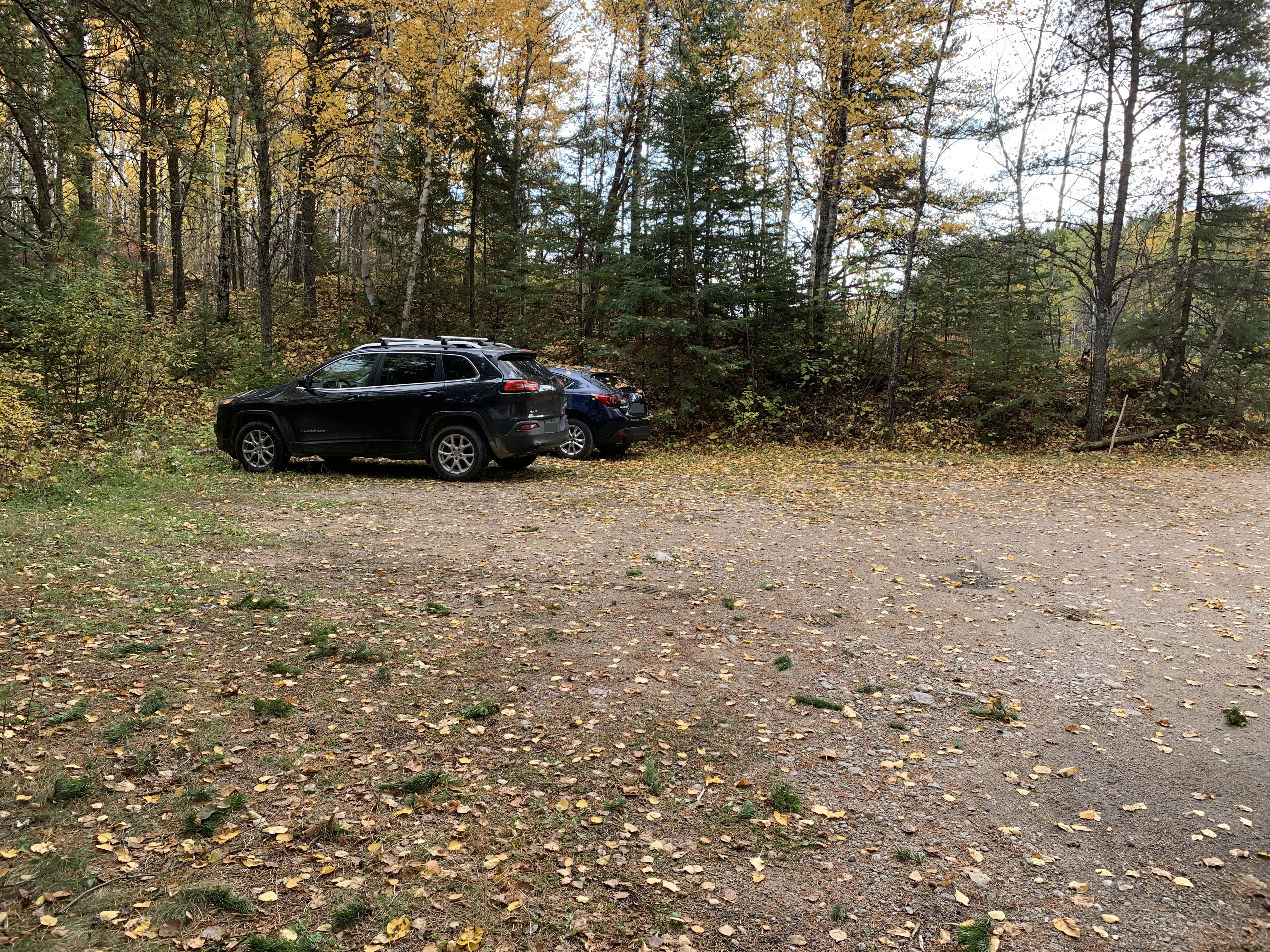
Parking lot is plenty big. Could probably hold at least 15 vehicles.
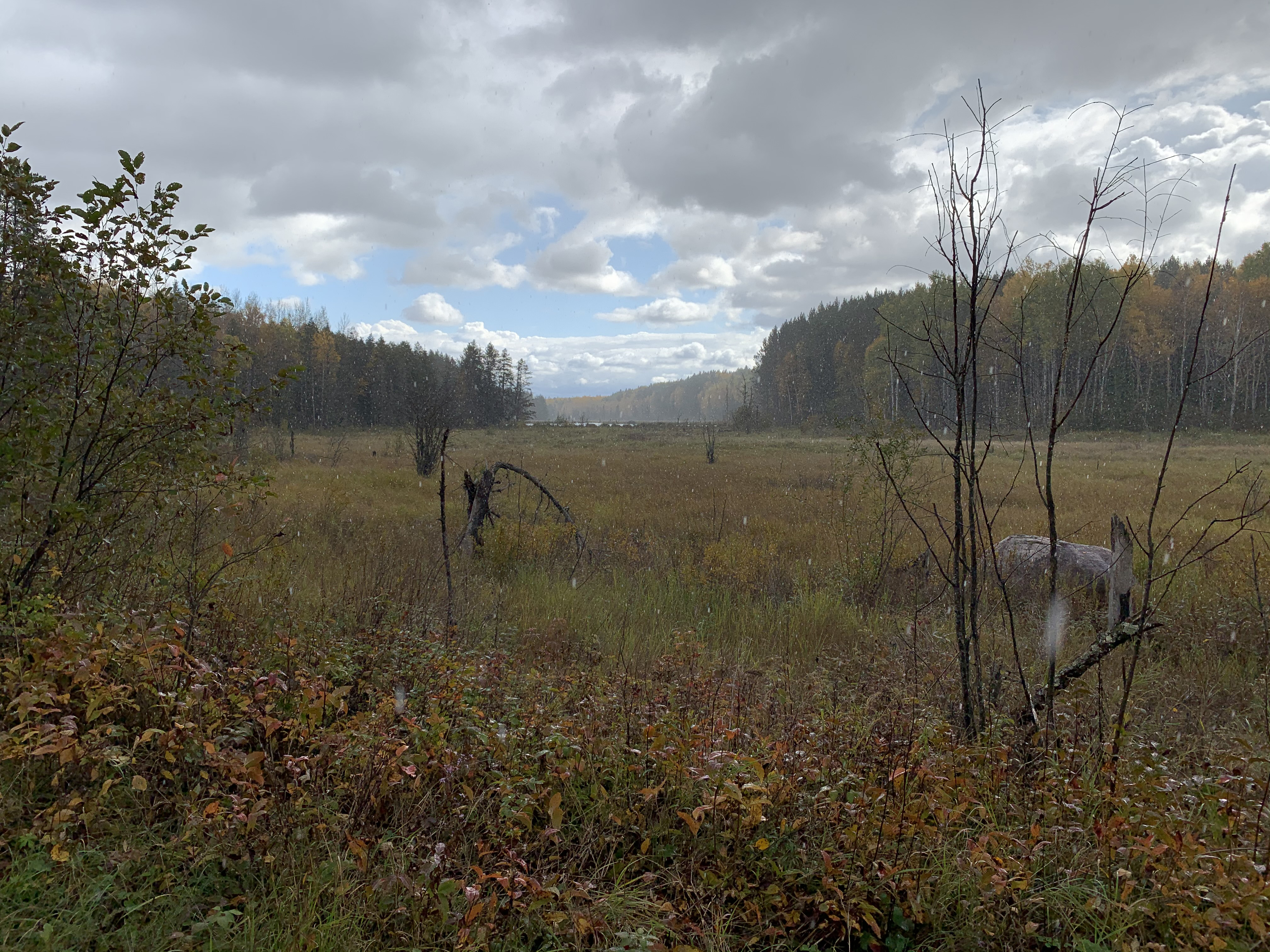
A marshland to the south of the parking lot. Range Line Creek flows through this area (a pond along the creek is faintly visible in distance). You cross over Range Line Creek when driving down the access road to the parking lot. This Range Line Creek flows into the Little Indian Sioux River. There is another Range Line Creek to the north of here in the BWCA that flows from Range Line Lake into the Hustler River.
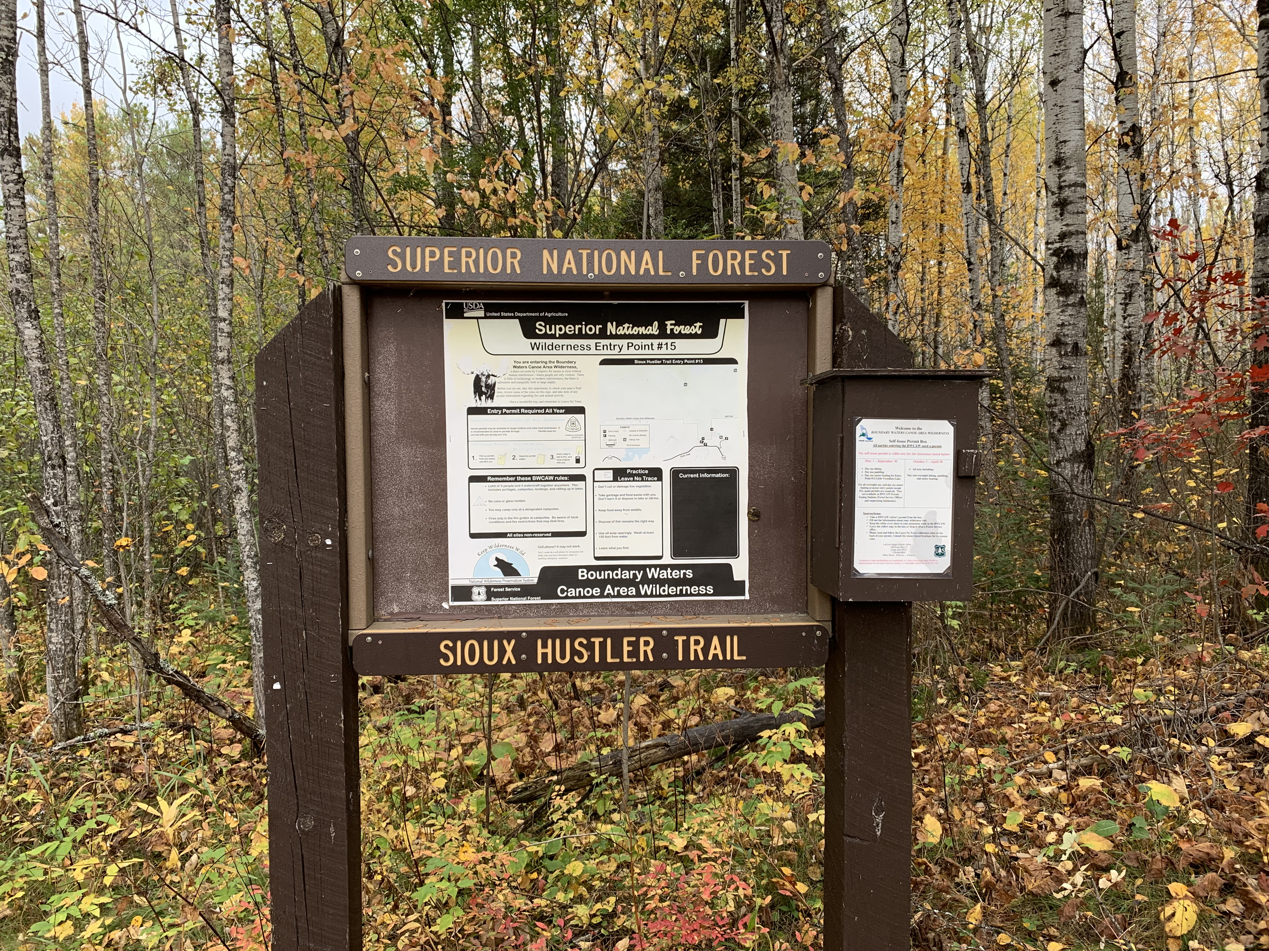
The usual bulletin board. If you are just doing a day hike, fill out a day permit which are found in the box to the right. A popular day hike is from the parking lot to the Devil's Cascade. The Devil's Cascade is a gorge in which the Little Indian Sioux plunges about 75 feet over a series of rapids and small waterfalls. It's just over 13 miles or so roundtrip.
Bulletin board with the start of the Sioux-Hustler Trail visible to the left.
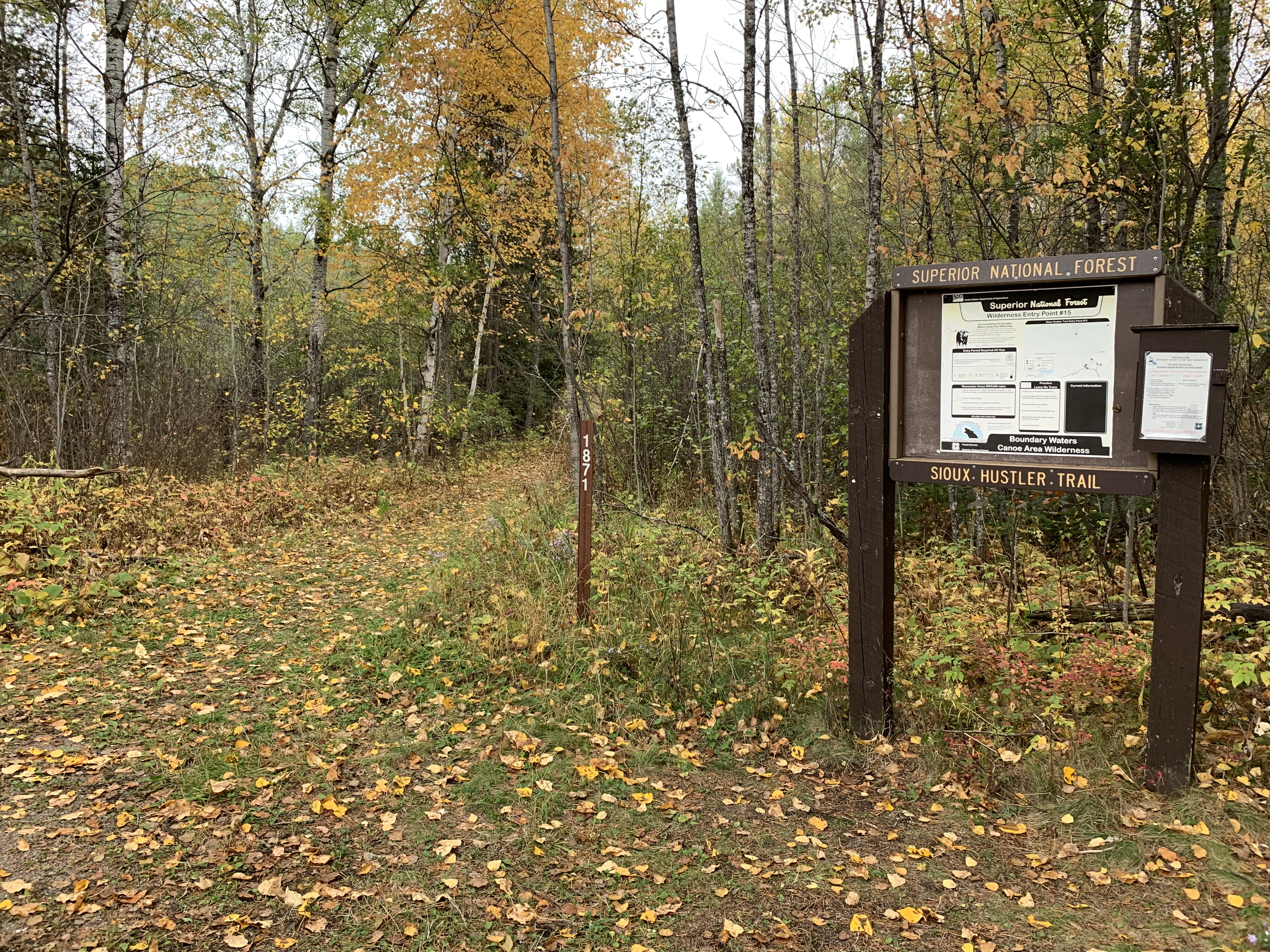
Walking down the first few hundred feet of the Sioux Hustler Trail from the parking lot.
Now that you've reached the trailhead, start hiking the: SIOUX-HUSTLER TRAIL