Fishing: Northern Pike (observed), Smallmouth Bass (observed), Walleye (likely in some locations as they exist in lakes connected to this river)
Maps: Fisher F-9; McKenzie #12
River Depth: Unknown, but greater than 10 feet
Fire History: 1971, 1863-64, 1755-59
River Length: From its source at Otter Lake to its mouth at Loon Lake, the river is about 29- miles long. The river flows through Upper Pauness Lake and Lower Pauness Lake.
Campsites: 2 (1 visited)
Wildlife Seen on Visit: Many beaver and ducks
Last Visited: August 14, 2022; Previous Visit(s): August 1, 2022, September 27, 2020
Creek Elevation: Headwaters at Otter Lake at 1453 feet. Mouth at Loon Lake at 1160 feet. Average of 9.5 feet per mile of elevation loss.
Water Clarity: N/A
ROUTES/PORTAGES FROM THE LITTLE INDIAN SIOUX RIVER:
To BWCA Entry Point 9: Walk the 8 rod portage
To BWCA Entry Point 14: Walk the 40 rod portage
To Bootleg Lake: Walk the 205 rod portage
To Little Indian Sioux River: Walk the 60 rod Elm Portage (first portage downstream of EP14)
To Little Indian Sioux River: Walk the 10 rod portage around Sioux Falls
To Little Pony River: Paddle In
To Little Trout Lake: Walk the 290 rod portage
To Loon Lake: Paddle In
To Lower Pauness Lake: Paddle In or walk the 40 rod portage or the 55 rod portage
To Otter Lake: Walk the 95 rod portage
To Upper Pauness Lake: Paddle in or walk the 40 rod portage or the 13 rod portage
To Sioux-Hustler Trail: Accessible along the river
at Devil's Cascade portage
Little Indian Sioux River
LaCroix Ranger District
LITTLE INDIAN SIOUX RIVER CAMPSITE: Campsite 1 (#1994): Along the Devil's Cascade portage
Campsite 2 (#2270):
On the east side of the river, just downstream of the mouth of the Little Pony River
The Little Indian Sioux River is often abbreviated as L.I.S.R. or just L.I.S. This river cuts its way through the Vermillion Batholith, an area of often exposed granite that dates back to the Precambrian era, about 1.5 billion years ago.
The Little Indian Sioux River is a 29-mile-long waterway located in northeastern Minnesota. It is a tributary of the larger Rainy River and is part of the Boundary Waters Canoe Area Wilderness (BWCA), a protected wilderness area that covers more than one million acres.
Except for the section downstream of BWCA Entry Point 14, the entire river is lightly traveled. It is possible to paddle the entire length of the river by creating a giant loop route, with half of the route on either side of the Echo Trail. The Echo Trail was established in 1927 and was previously a logging road (Rom, 1987). This route uses the two Little Indian Sioux River entry points and the Big Lake and Stuart River entry points. A difficult but rewarding trip with a minimum travel distance of at least 90 miles.
There are two campsites along the river, one at the Devil's Cascade downstream of Lower Pauness Lake and the other located just downstream of the mouth of the Little Pony River. Other campsites can be reached on the lakes that the river flows through or near too.
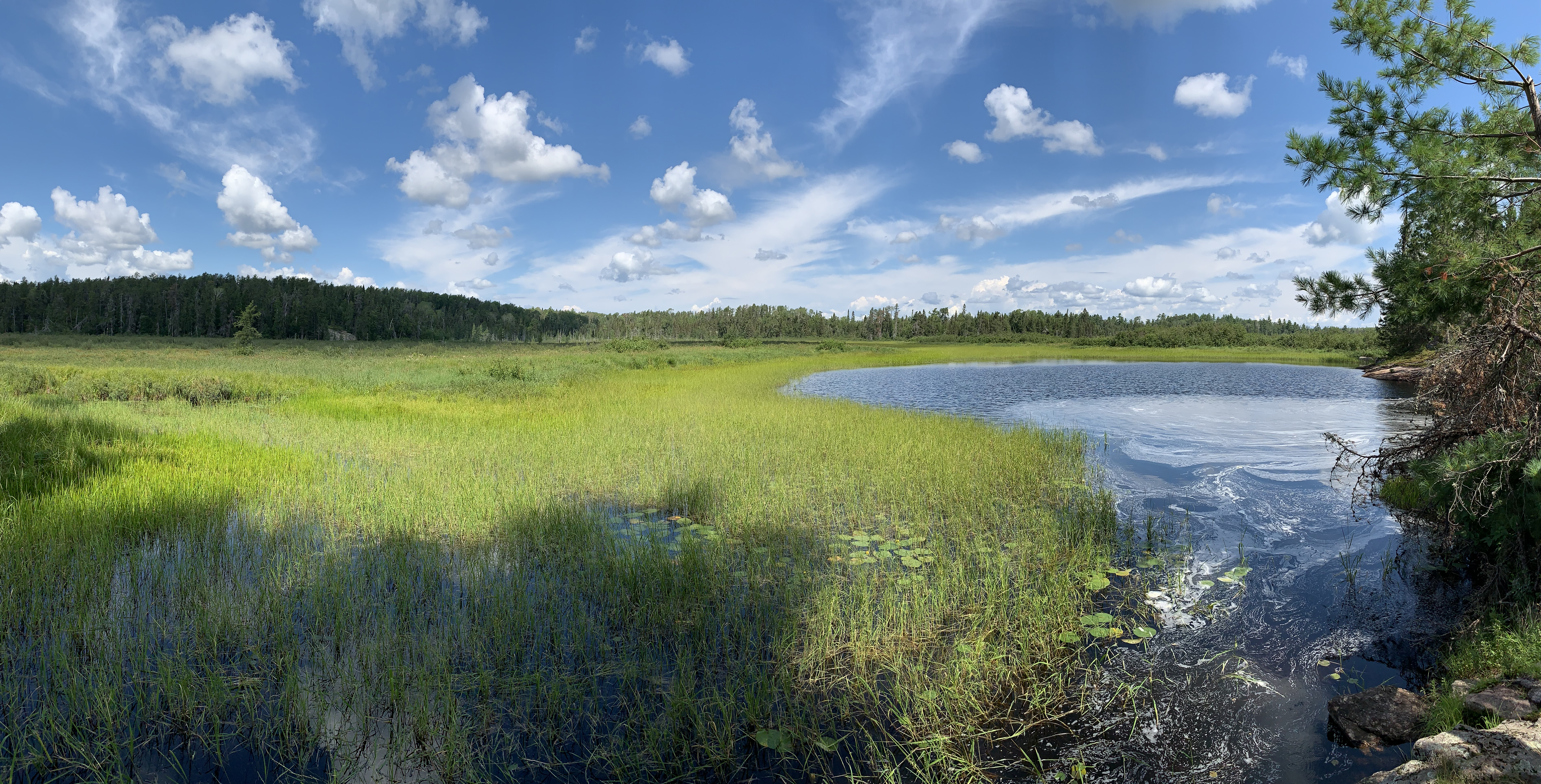
By mid-summer, much of the river is overgrown with fields of wild rice. It is more strenuous to paddle through the rice.
Besides a lot of portages around impassable sections of the river, also expect to lift your canoe/gear over a number of beaver dams.
A modest fire burned 14,600 acres in three days in 1971 just east of the L.I.S., a couple miles south of the Echo Trail. Fire consumed the leftover slash in an area that had been recently logged. This was known as the Little Sioux Fire and it was probably the largest fire in the BWCA since the period between 1910 and 1950 (Heinselman, 1999).
The 1863-64 fire that swept through this area was the fourth largest (over 112,000 acres) in recorded history (Heinselman, 1999).
Logging operations were extensive on the lakes in this area, especially in the early 1900's. However the L.I.S. was never used for floating logs so the river was left mostly unscarred by these operations. Two notable logging sales in the area were just south of Shell Lake. This tract extended south along the eastern bank of the L.I.S. The other logged area along the river was burned by the 1971 fire mentioned above (Heinselman, 1999).
Travel along the Little Indian Sioux River is broken up into these five sections on the page below. Click on a link below to jump to that section on this page: (Note: If your group has a permit for BWCA Entry Point 9, you cannot travel downstream north of the Echo Trail along the Little Indian Sioux River. Likewise, if you have a permit for BWCA Entry Point 14, you cannot travel upstream south of the Echo Trail along the Little Indian Sioux River.)
Click on the photos below to see the full resolution image - Use your browsers back button to close photo and return to this page.
PADDLING FROM THE BWCA ENTRY POINT 9 LANDING UPSTREAM TO SIOUX FALLS
Looking upstream from the BWCA Entry Point 9 landing, which is located right on the side of the Echo Trail.
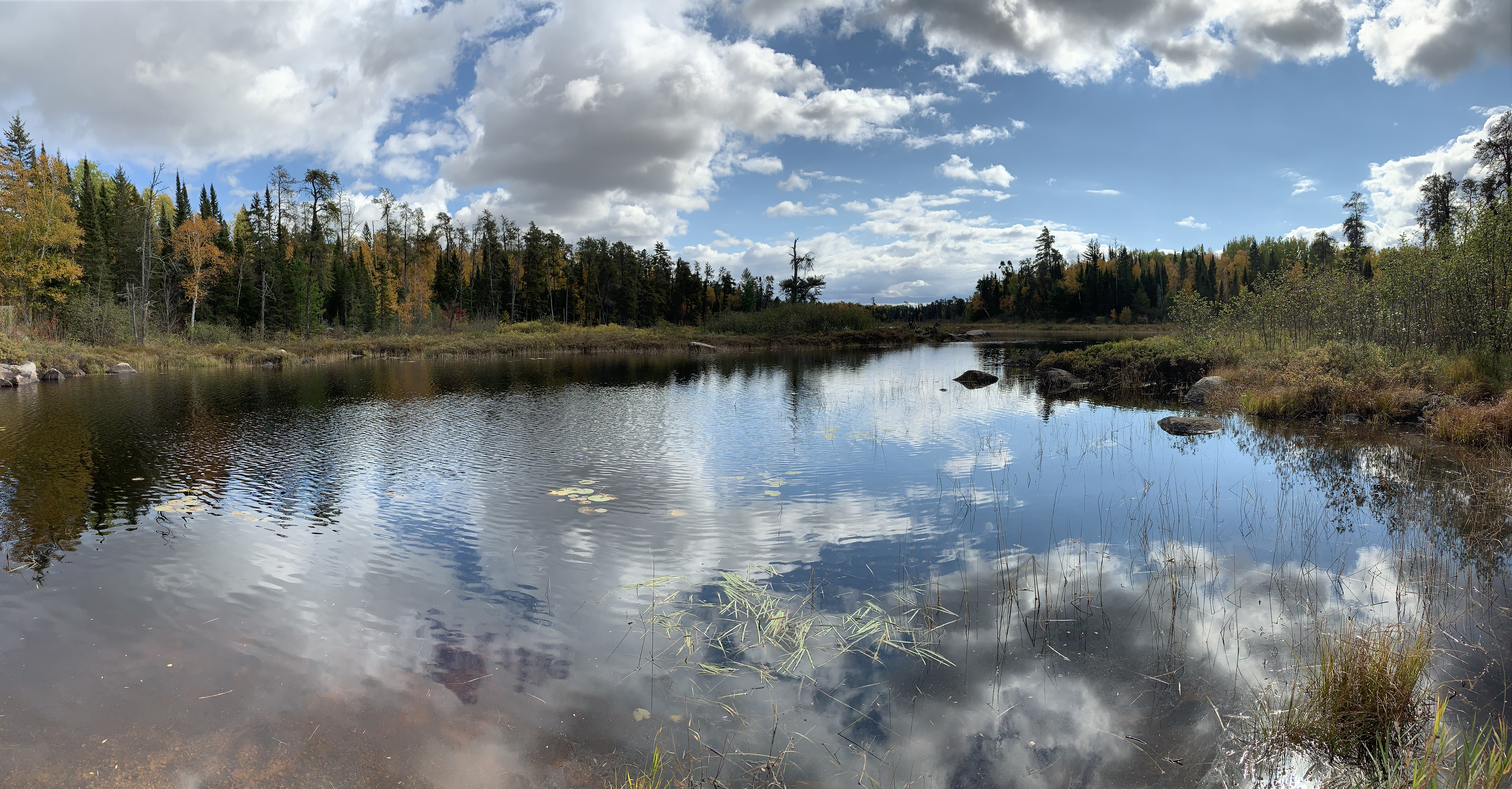
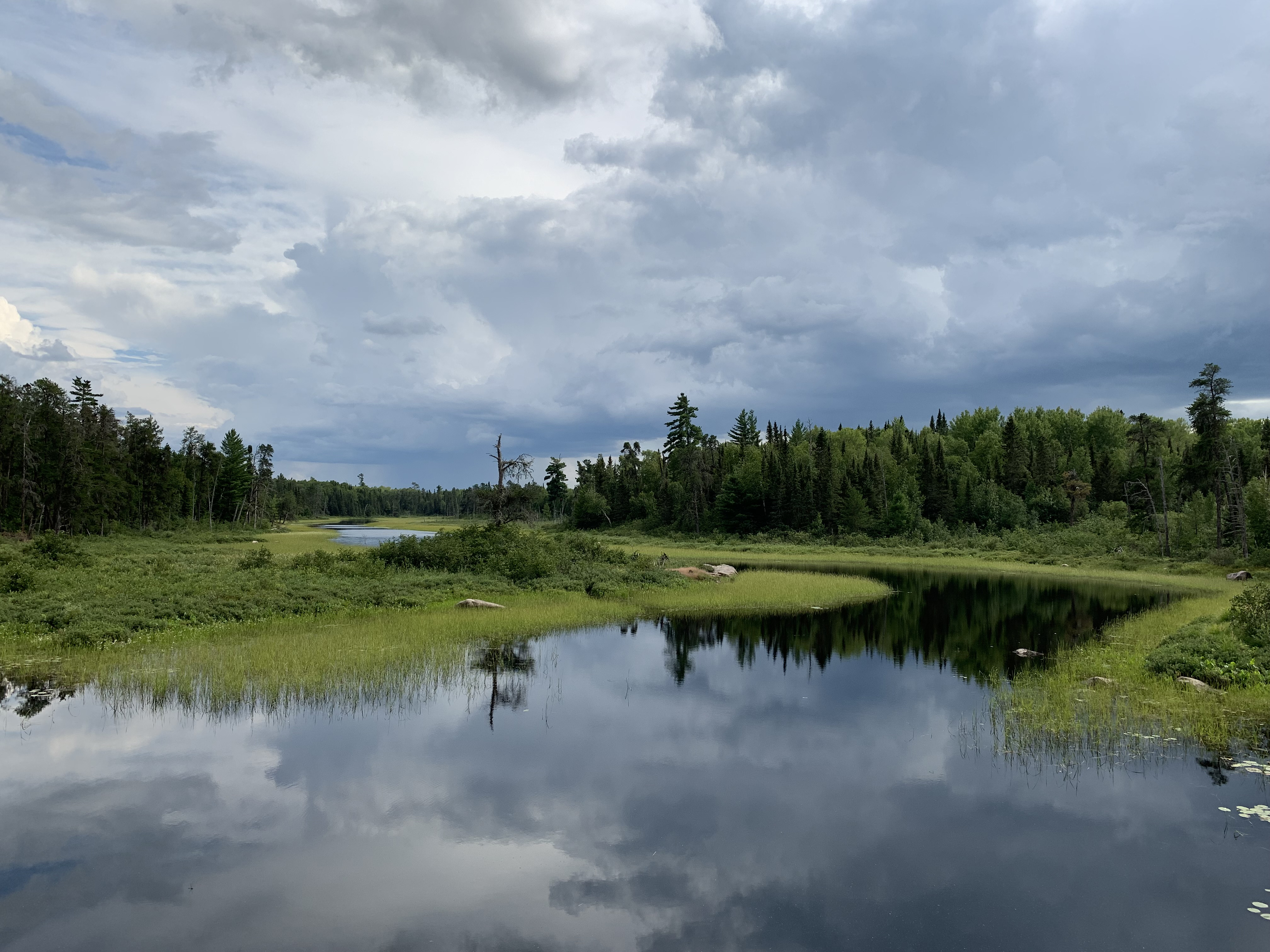
There are relatively few places to stop between the entry point landing and Sioux Falls. There are no campsite and no portages along this entire stretch. You will paddle through thick fields of wild rice that choke much of the river by mid-summer. When the wild rice plants are tall enough, it can make finding the main channel of the river a bit tricky in a few places.
This look at the river is about two miles downstream from Sioux Falls.
PORTAGING UPSTREAM AROUND SIOUX FALLS
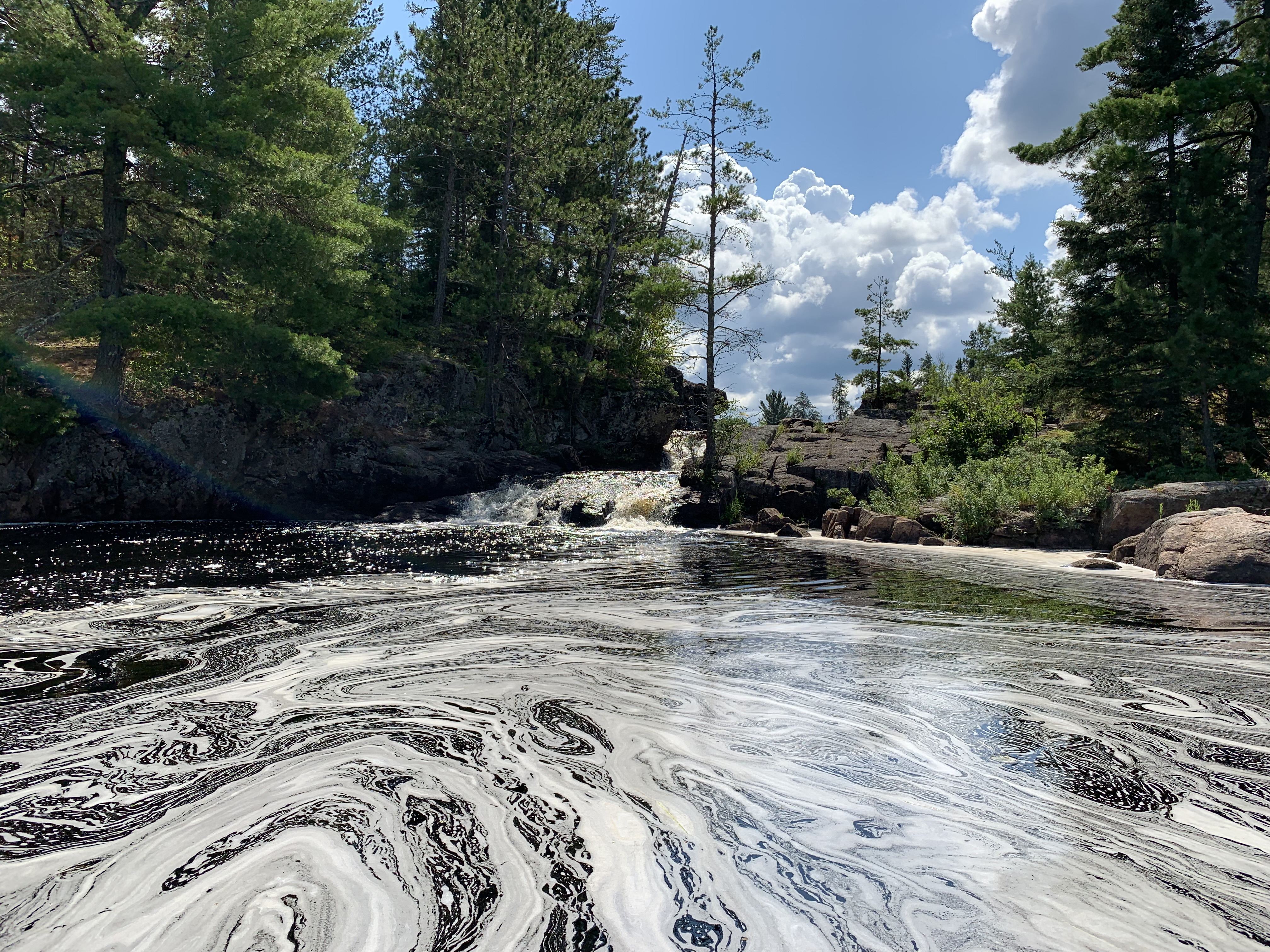
First glimpse of Sioux Falls as you paddle upstream.
The pool below Sioux Falls.
Sioux Falls churning up some foam.
Very short portage. Landing is a bit of work below the falls, but the landing above the falls is a smooth easily accessed rock slab. Trail relatively easy; a few rocks.
View from the top of the falls. This is in autumn when the water was low.
Looking down the waterfall.
Above Sioux Falls, the river narrows and becomes more shallow. During periods of drought, the river can be tough to navigate. This video shows the Little Indian Sioux River during a period of low water. It is still passable, but a lot of work to push through the wild rice and aquatic vegetation.
Click on the photos below to see the full resolution image - Use your browsers back button to close photo and return to this page.
Portage from the top of Sioux Falls to the bottom.
The pool below Sioux Falls and endless stands of wild rice visible for nearly as far as the eye can see.
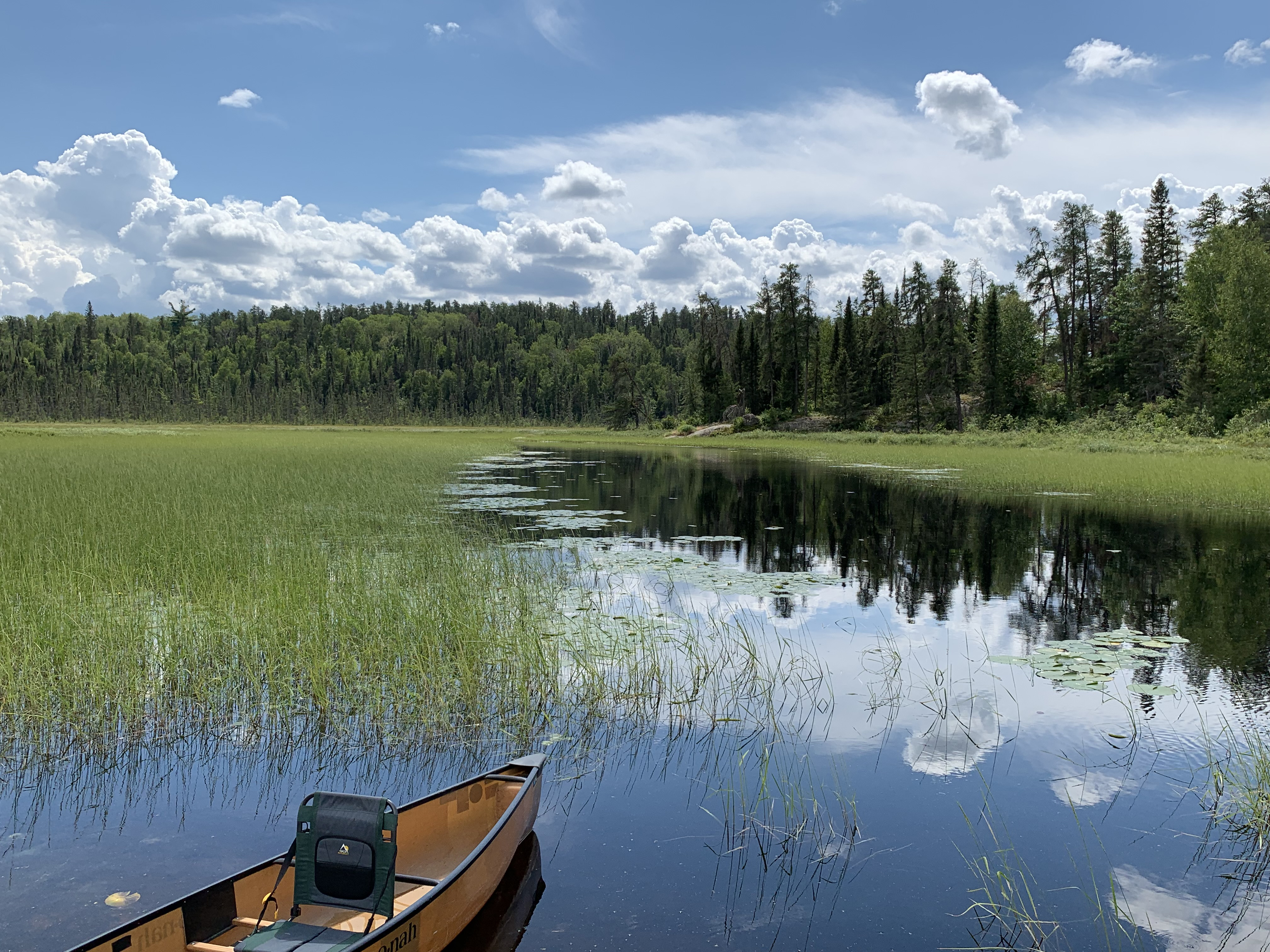
This is a fairly long paddle from Sioux Falls all the way to the BWCA Entry Point 9 landing on the Echo Trail. There aren't any campsites along this stretch. During the summer, the route involves paddling through thick fields of wild rice. There is little to no current along this entire segment of the river.
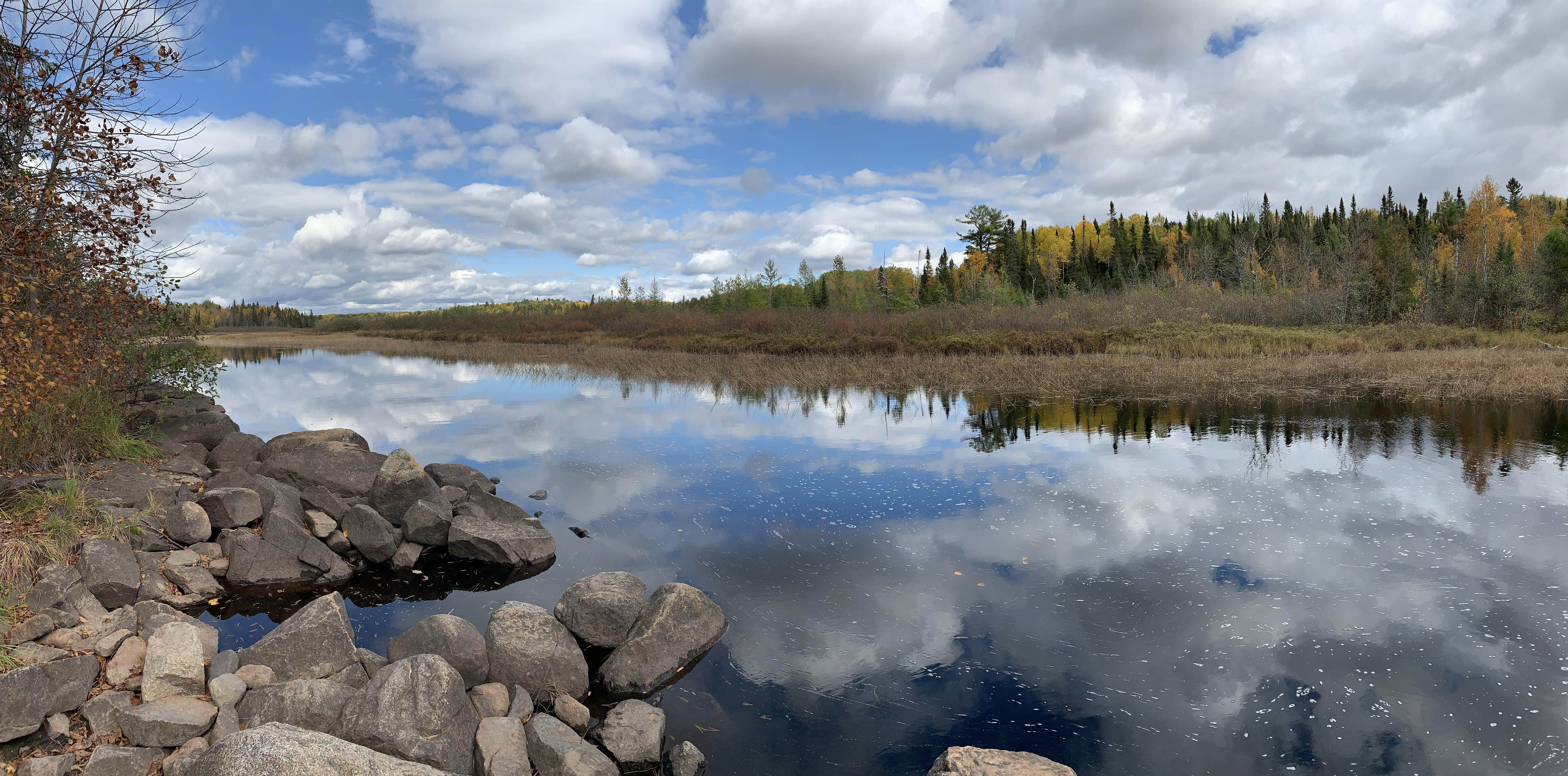
There is a rock outcropping about two miles downstream of Sioux Falls that makes for a nice place to pullout. There are limited locations to pullover along this section of the Little Indian Sioux River.
Nice rock that you can use to get out of the canoe and stretch your legs on.
Looking back upstream from the BWCA Entry Point 9 landing next to the Echo Trail.
Click on the photos below to see the full resolution image - Use your browsers back button to close photo and return to this page.
PADDLING FROM BWCA ENTRY POINT 14 LANDING TO THE FIRST PORTAGE (KNOWN AS THE ELM PORTAGE)
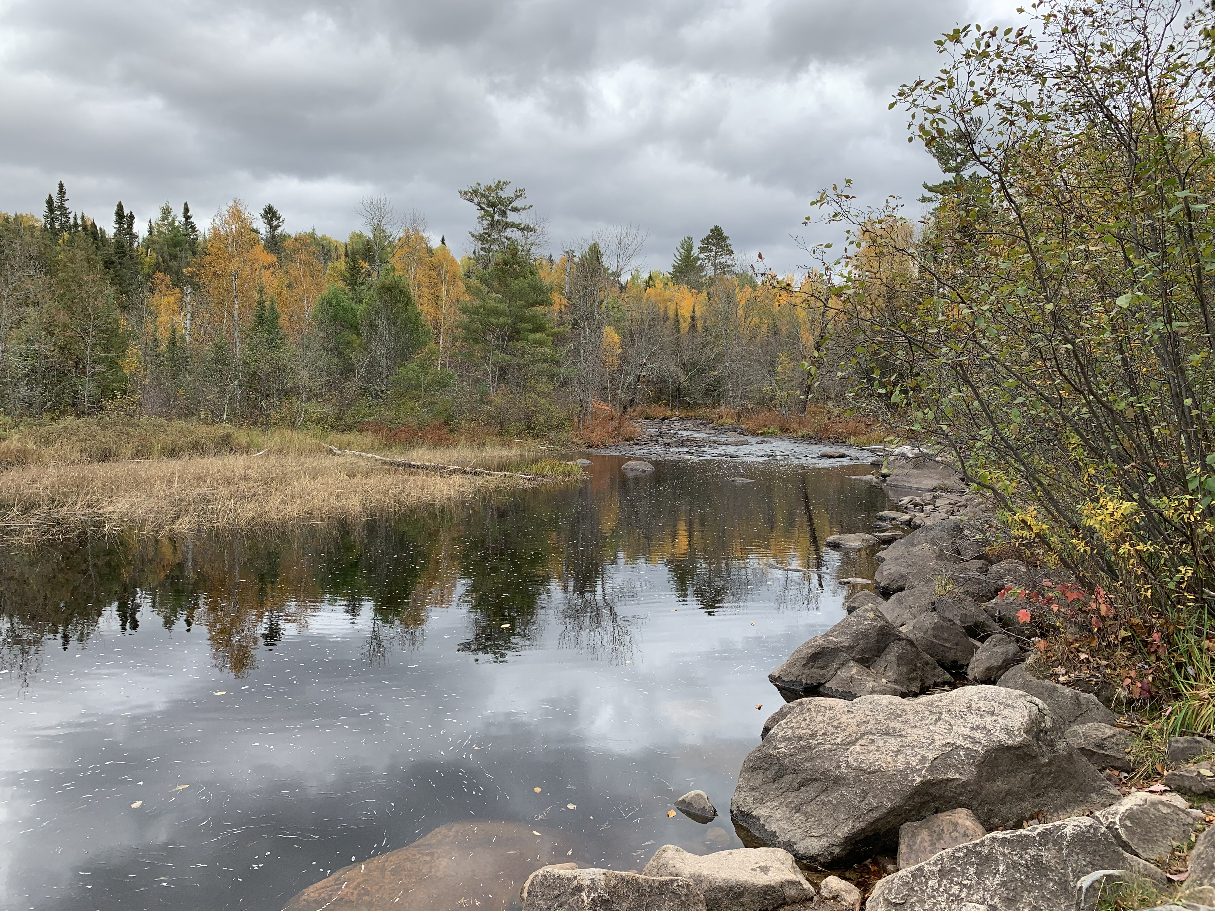
Looking downstream from the portage landing for BWCA Entry Point 14. Note that there is a portage between BWCA Entry Point 9 - Little Indian Sioux River South and BWCA Entry Point 14 - Little Indian Sioux River North. (Note: If you have a BWCA permit for Entry Point #14, you cannot travel upstream (south) along the Little Indian Sioux River past Entry Point #9.)
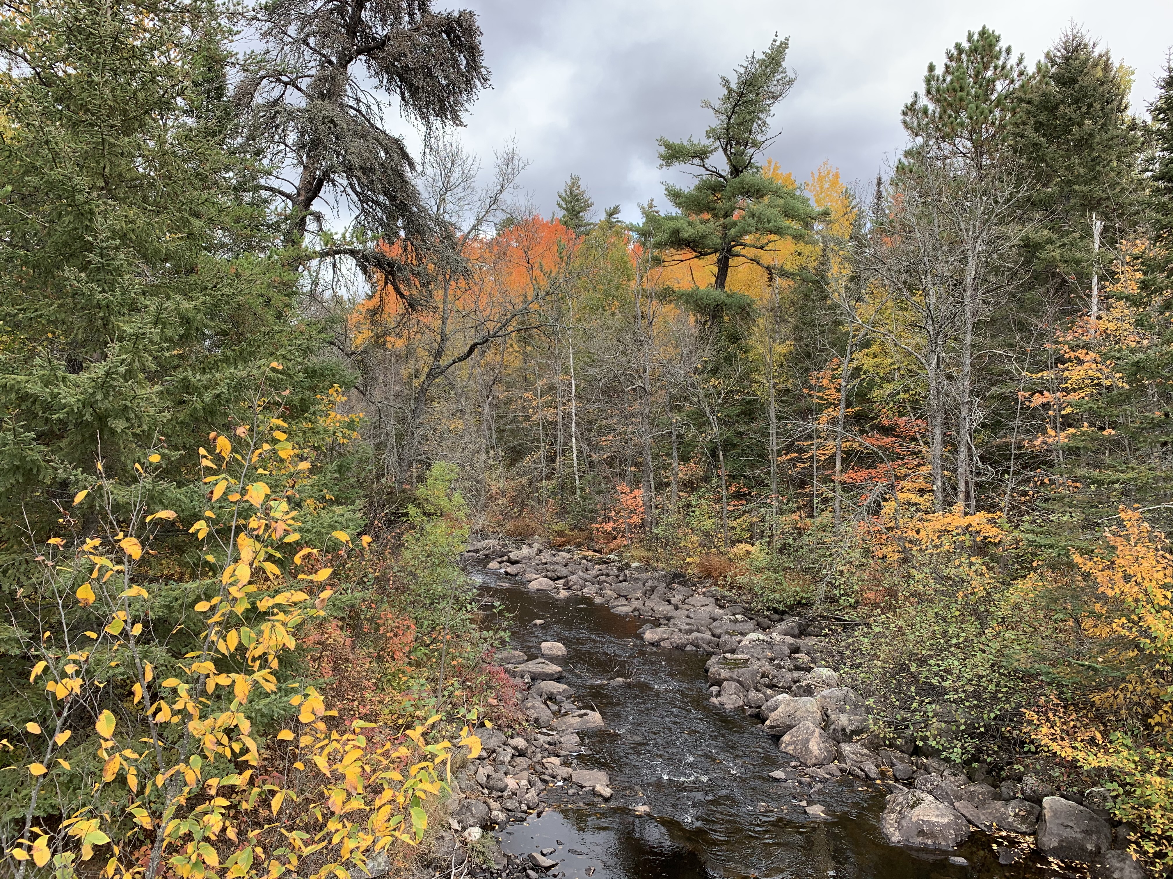
Paddling the river downstream from the entry point landing to the Elm Portage.
Start of the Elm Portage (upstream end of it).
WALKING THE ELM PORTAGE
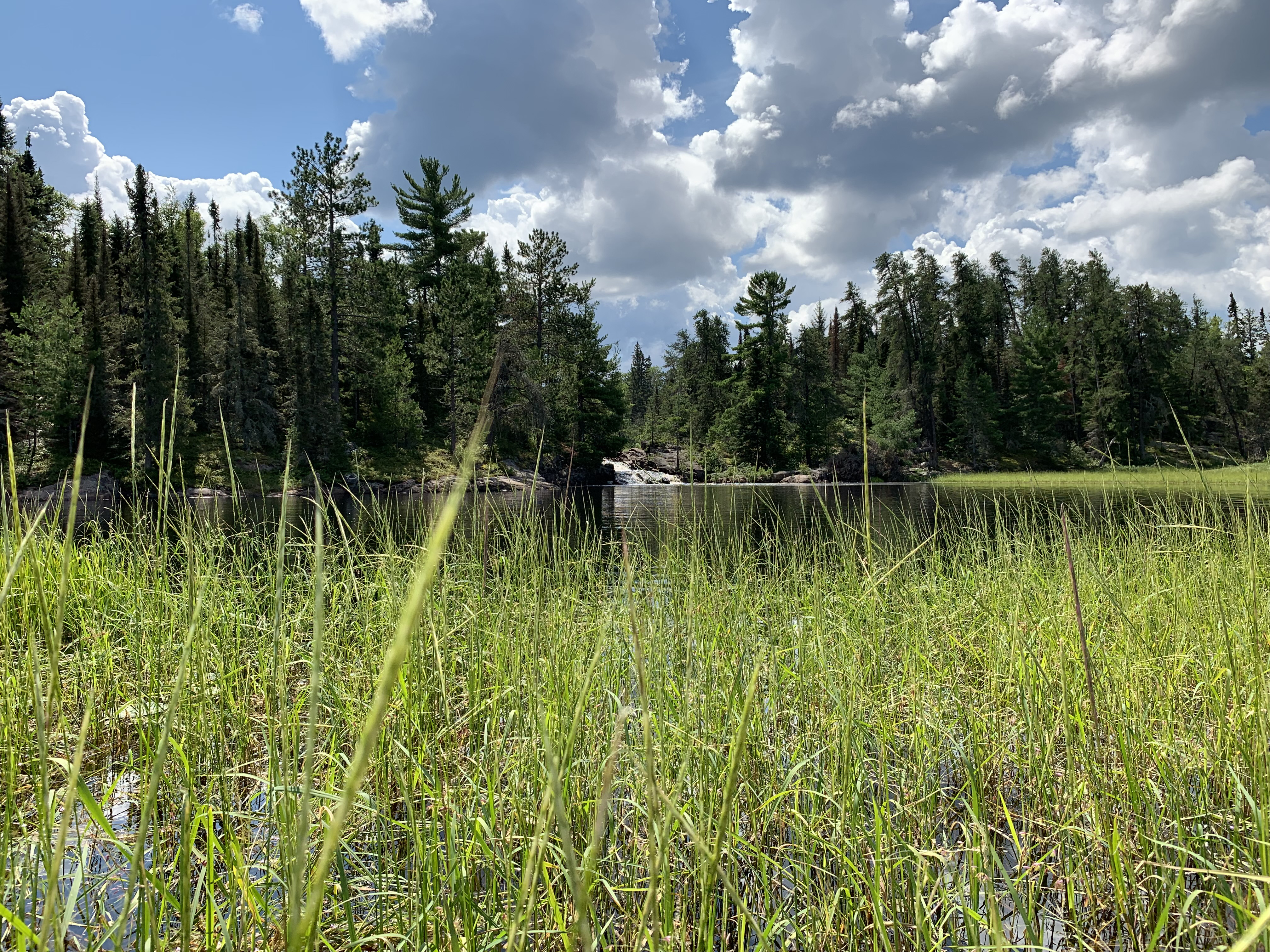
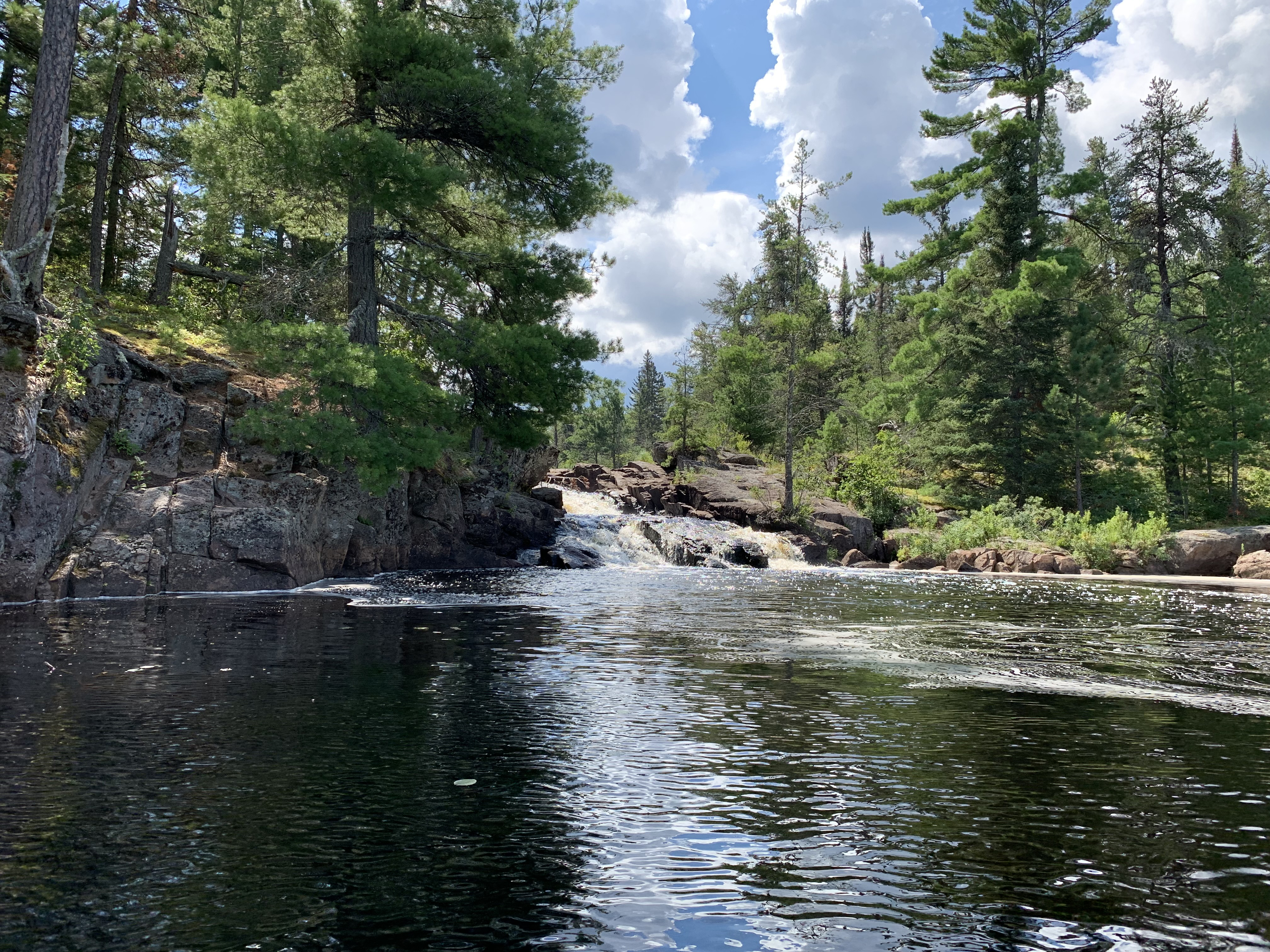
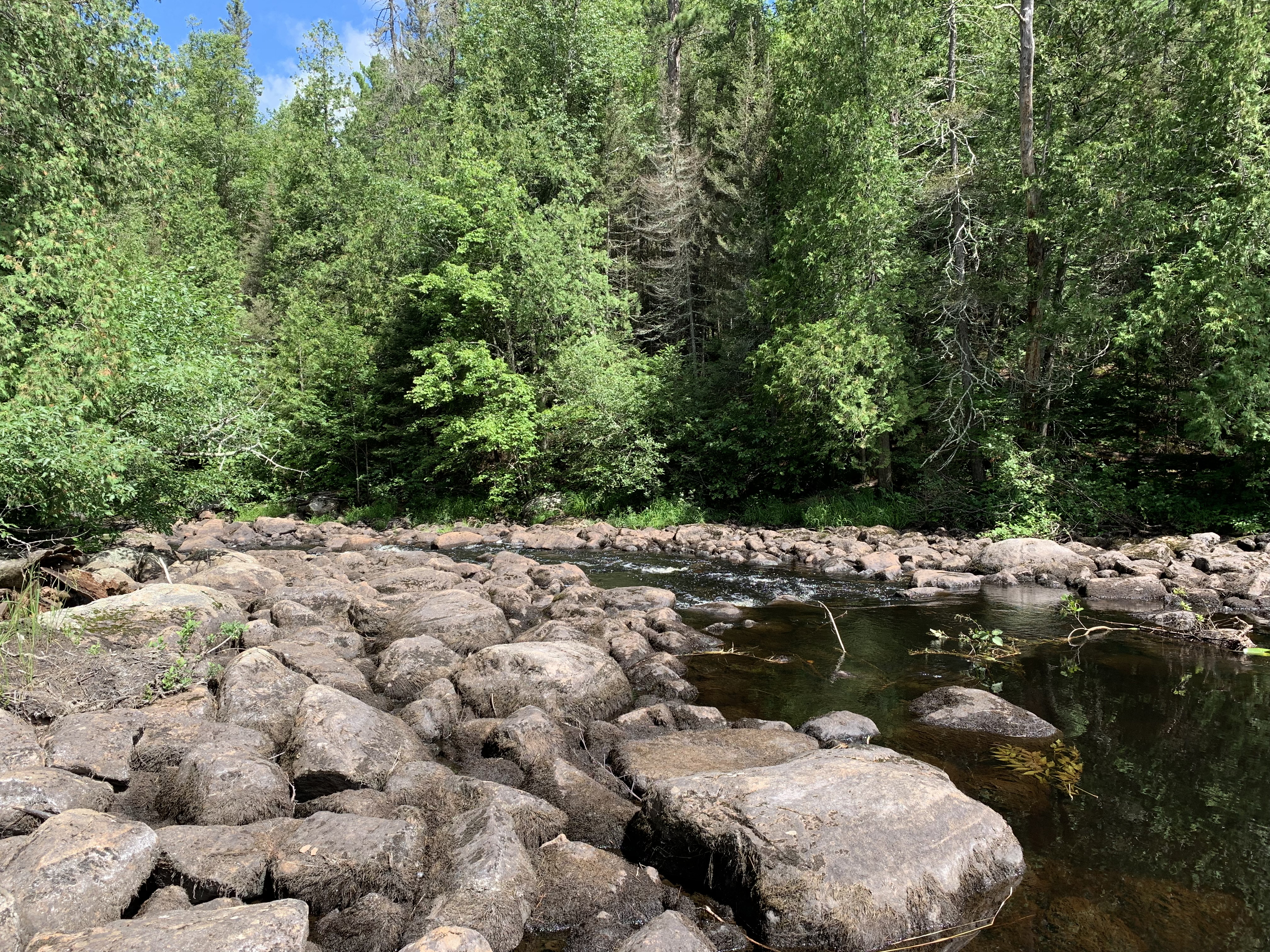
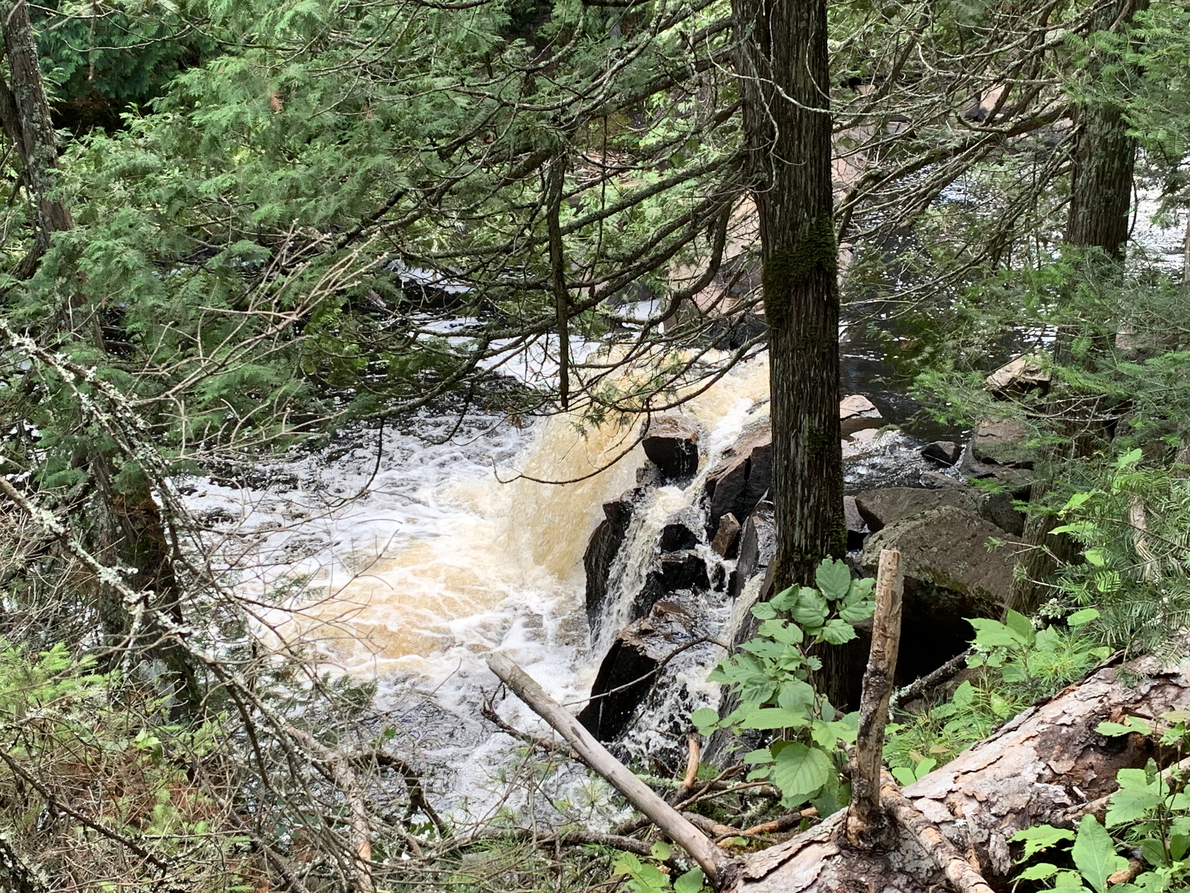
This is a scenic portage with good views of the rapids and a waterfall. The portage is mildly downhill in this direction following the grade of the river. Portage is in good shape and you'll find solid landings on each end.
Waterfall along the Elm Portage. There are several other enjoyable views of the rapids from along the portage trail.
PADDLING FROM THE ELM PORTAGE TO UPPER PAUNESS LAKE
PORTAGING FROM LOWER PAUNESS LAKE TO THE LITTLE INDIAN SIOUX RIVER ALONG THE DEVIL'S CASCADE
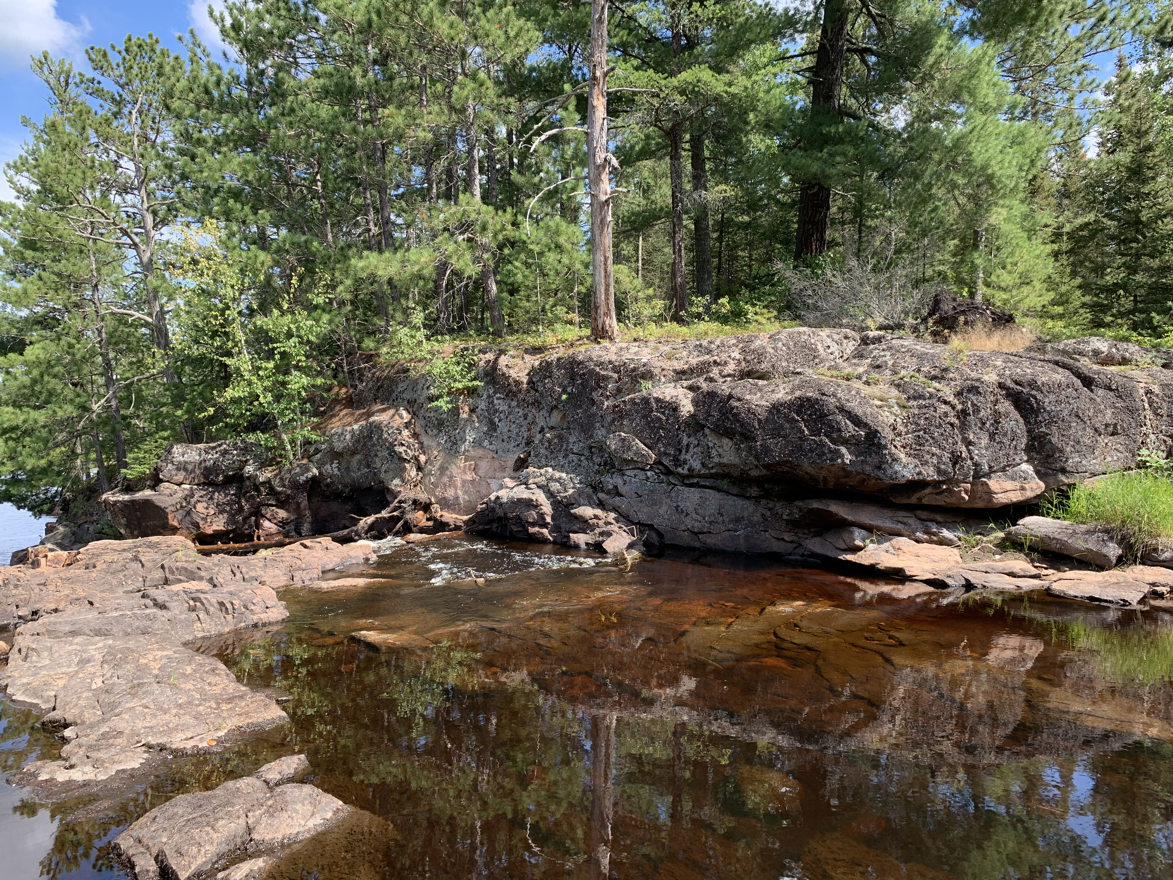
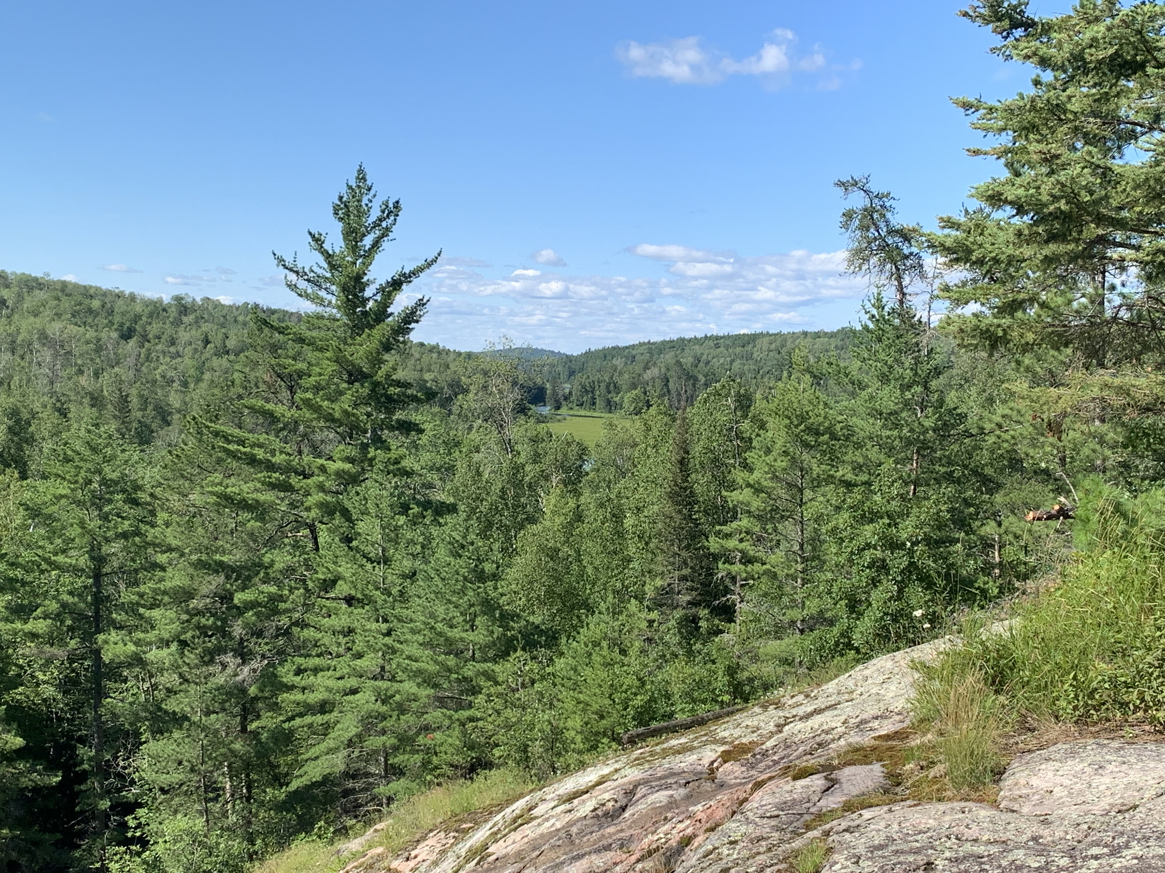
Devil's Cascade portage. Portage has a few steep sections. There is a campsite located near the middle of this portage that overlooks the cascades and provides a spectacular view of the river valley. This campsite has a spur trail that leads to the nearby Sioux-Hustler Trail.
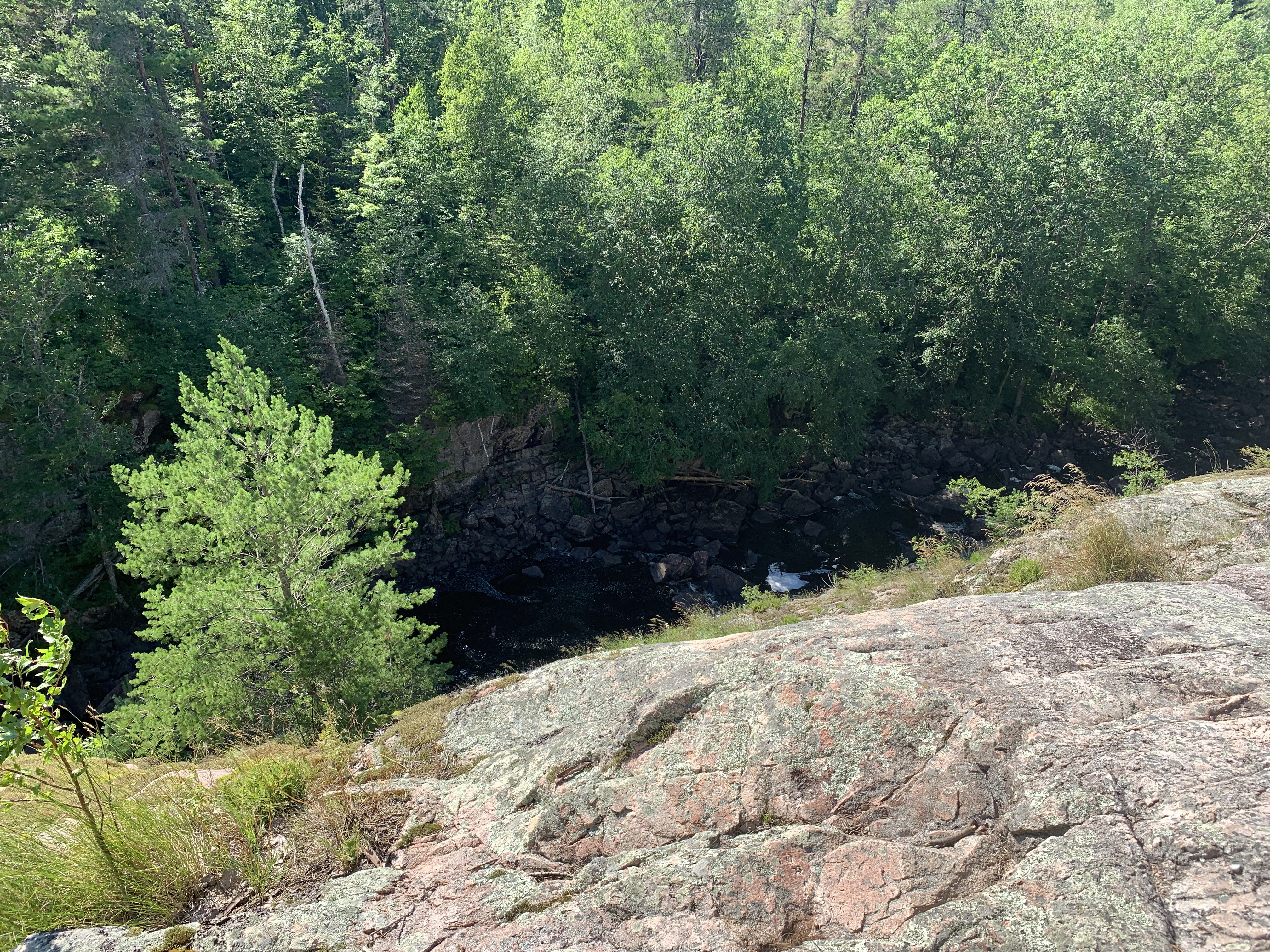
This overlook of the Devil's Cascade is from the campsite, which you will find near the middle of this portage.
Overlook from the campsite also allows for a nice view downstream of the Little Indian Sioux River Valley.
Downstream end of the portage that bypasses the Devil's Cascade.
Click on the photos below to see the full resolution image - Use your browsers back button to close photo and return to this page.
PORTAGING FROM THE LITTLE INDIAN SIOUX RIVER ALONG THE DEVIL'S CASCADE UPSTREAM TO LOWER PAUNESS LAKE
You'll be traveling uphill in this direction. There are some pretty views of the river along this portage, especially near the mid-portage campsite. The path is well maintained. A few rocks and an occasional mudhole can be expected. There is a spur trail near the campsite that connects to the Sioux-Hustler Hiking Trail. Hikers often use the campsite. The portage landings on each end of the trail are excellent.
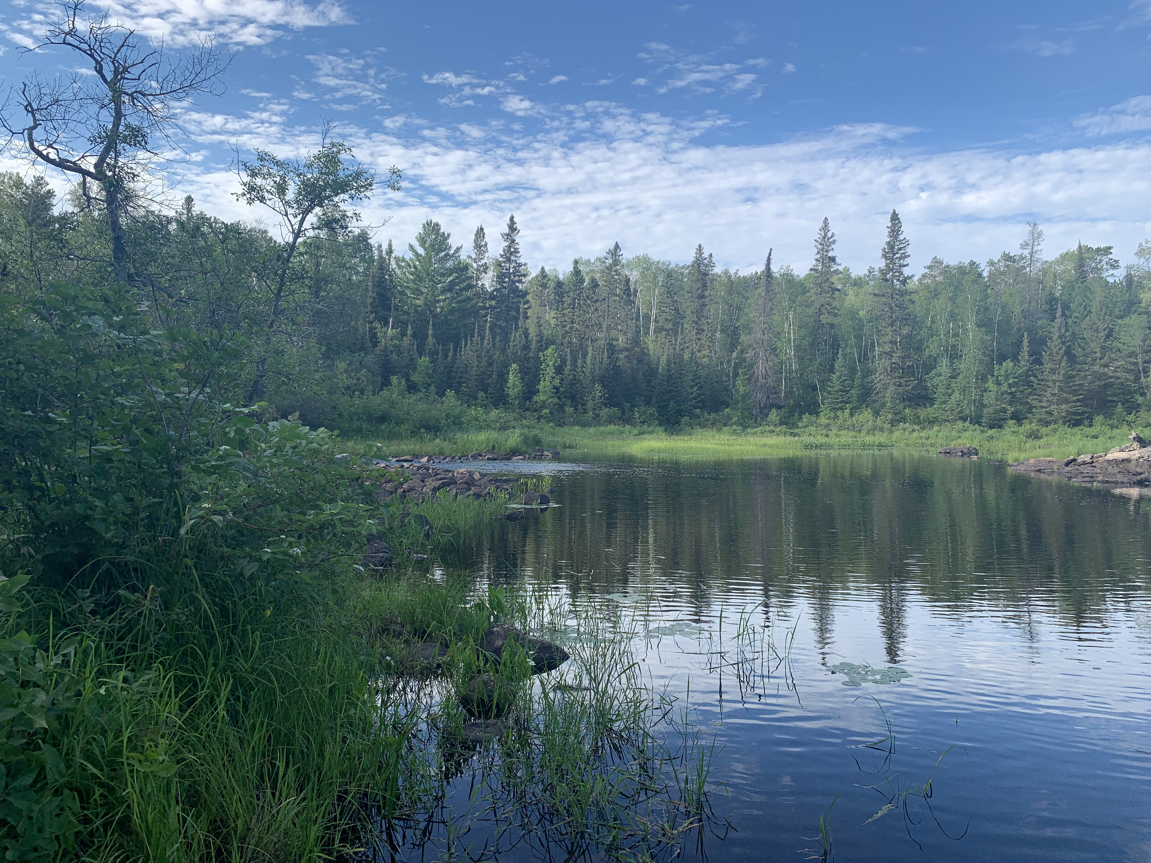
PADDLING FROM LOWER PAUNESS LAKE UPSTREAM TO THE UPPER PAUNESS LAKE PORTAGE
Most paddling groups take the portage between these two lakes, but if you want to take the scenic route, go this way. It is a little more challenging, but you'll paddle a scenic section of the Little Indian Sioux River.
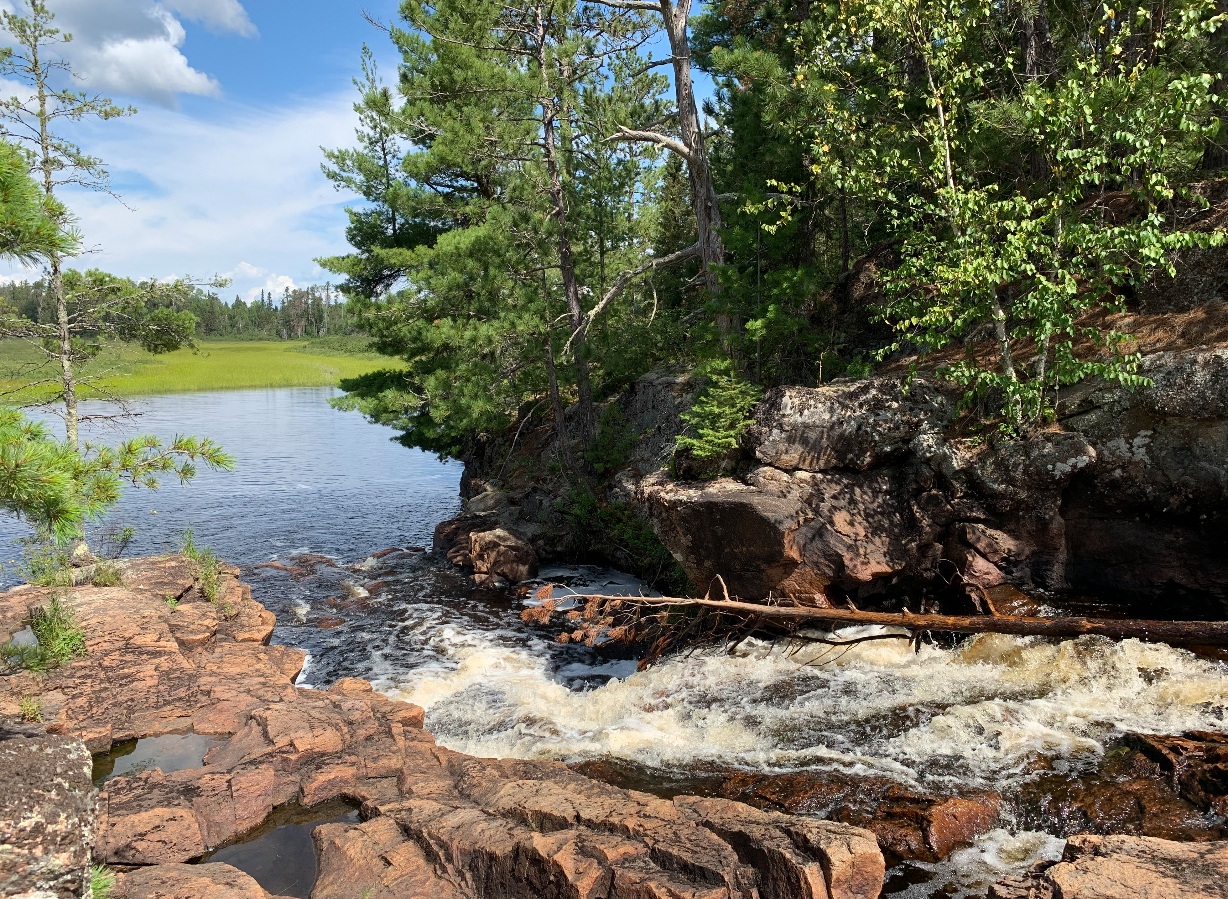
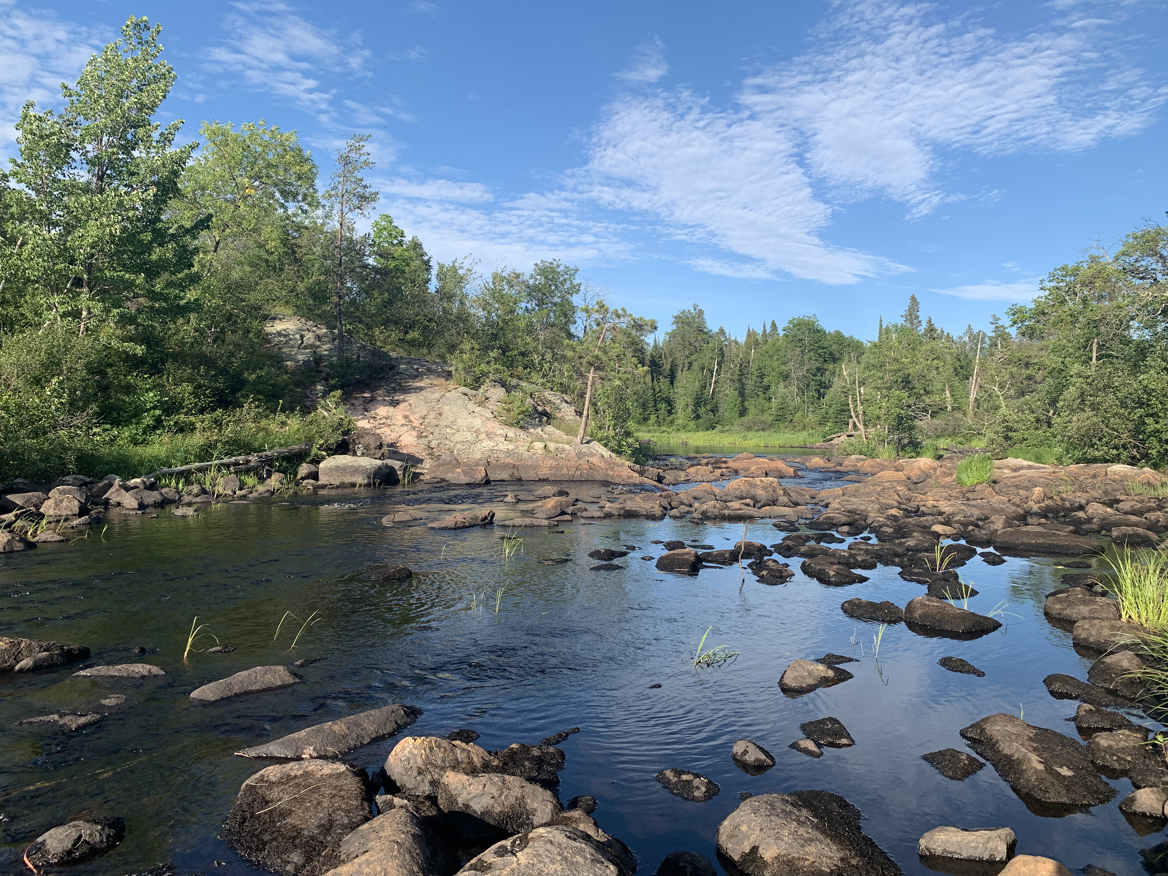
Tail end of the short set of rapids flowing into the Little Indian Sioux River out of Upper Pauness Lake.
PORTAGE FROM THE LITTLE INDIAN SIOUX RIVER UPSTREAM TO UPPER PAUNESS LAKE
Short portage of 8-rods. It may be a little portage, but it is quite rocky and steep. Views of rapids. Good landing on the river end. Landing is not as good on Upper Pauness Lake, but very doable. There is a campsite directly across the river overlooking the rapids if you want to stop here for the day. You can see Upper Pauness Lake here.
View of the rapids along the portage.
PADDLING FROM UPPER PAUNESS LAKE UPSTREAM TO THE ELM PORTAGE
Continue traveling upriver along this tranquil stretch of the Little Indian Sioux River. Wild rice lines much of the rivers course.
WALKING THE ELM PORTAGE (60 RODS)
Slightly uphill along most of its length. The trail is in great shape for the most part. Fine views of a waterfall and the rapids. The portage landings on each end of this trail make life easier.
PADDLING FROM THE ELM PORTAGE TO BWCA ENTRY POINT 14 PORTAGE LANDING
Paddling from the Elm Portage to the BWCA Entry Point 14 portage landing. The portage landing is a mass of boulders which makes for some dicey footing.
Looking upriver from the BWCA Entry Point 14 portage landing at the next set of rapids.
The portage between BWCA Entry Point 9 and BWCA Entry Point 14
A view from along the 160 rod portage that runs between the two entry points. These two entry points provide access to north and south routes along the Little Indian Sioux River.
This portage connects the two canoe landing locations on the L.I.S. for BWCA Entry Point 14 and BWCA Entry Point 9.
Portaging 160 rods from the BWCA Entry Point 9 canoe landing, downstream to the canoe landing for BWCA Entry Point 14. (Note: It is illegal to travel in this direction if you have a BWCA permit for Entry Point #9.)
Peering upstream from the BWCA Entry Point 9 portage landing.