From Ely, follow Minnesota Highway 1 east for about 10 miles. Just after crossing a bridge over the Kawishiwi River for the second time, take a left onto Spruce Road (Road 230). Follow this road, past the Outward Bound School, for 4 miles until you reach the parking area on the left side of the road for BWCA Entry Point 32 - South Kawishiwi River. A sign here indicates that Little Gabbro Lake is another 2 miles.
There is a small parking lot where the bulletin board and the actual portage begin. There is another slightly larger parking lot for additional cars another 100 feet down the road.
This entry point provides access into the BWCA toward the northeast (upstream) on the Kawishiwi River. Destinations in this direction include Lake One and Little Gabbro Lake. The location where the Kawishiwi River splits into the North Kawishiwi River and the South Kawishiwi River is about 9 miles upstream. Going downstream will quickly take you out of the BWCA. Paddlers going to Lake One may opt for a one way trip, as this route does not offer much in the way of viable loop opportunities.
The portage down to the river from the parking lot is just under half a mile in length and is relatively easy to walk.
Exploring the Entry Point
Click on the photos below to see the full resolution image - Use your browsers back button to close photo and return to this page.
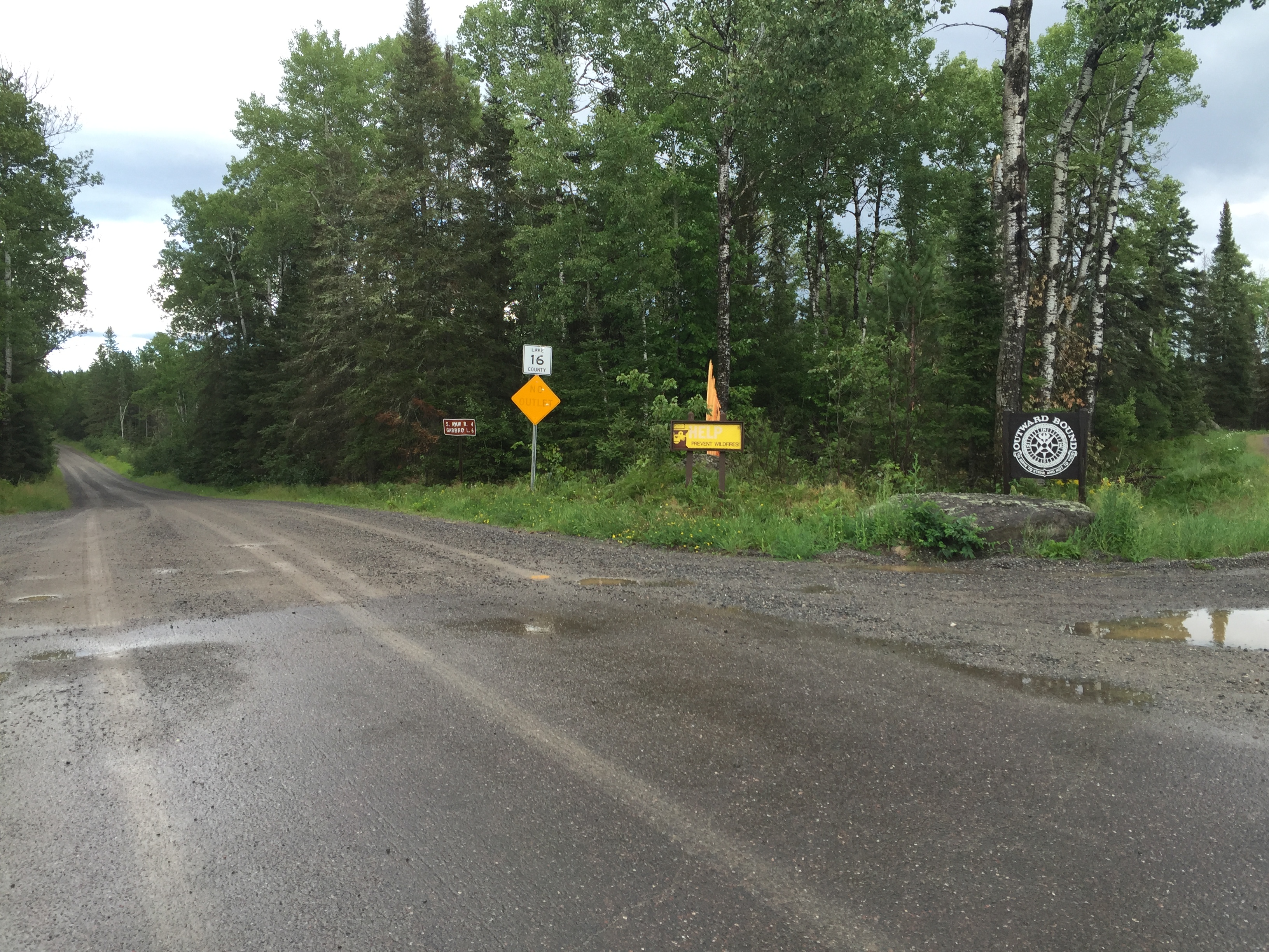
Turning here, it is four miles to BWCA Entry Point 32 - South Kawishiwi River and six miles to BWCA Entry Point 33 - Little Gabbro Lake. The Outward Bound school is also down this road. This is Lake County 16 Road (August 5, 2016).
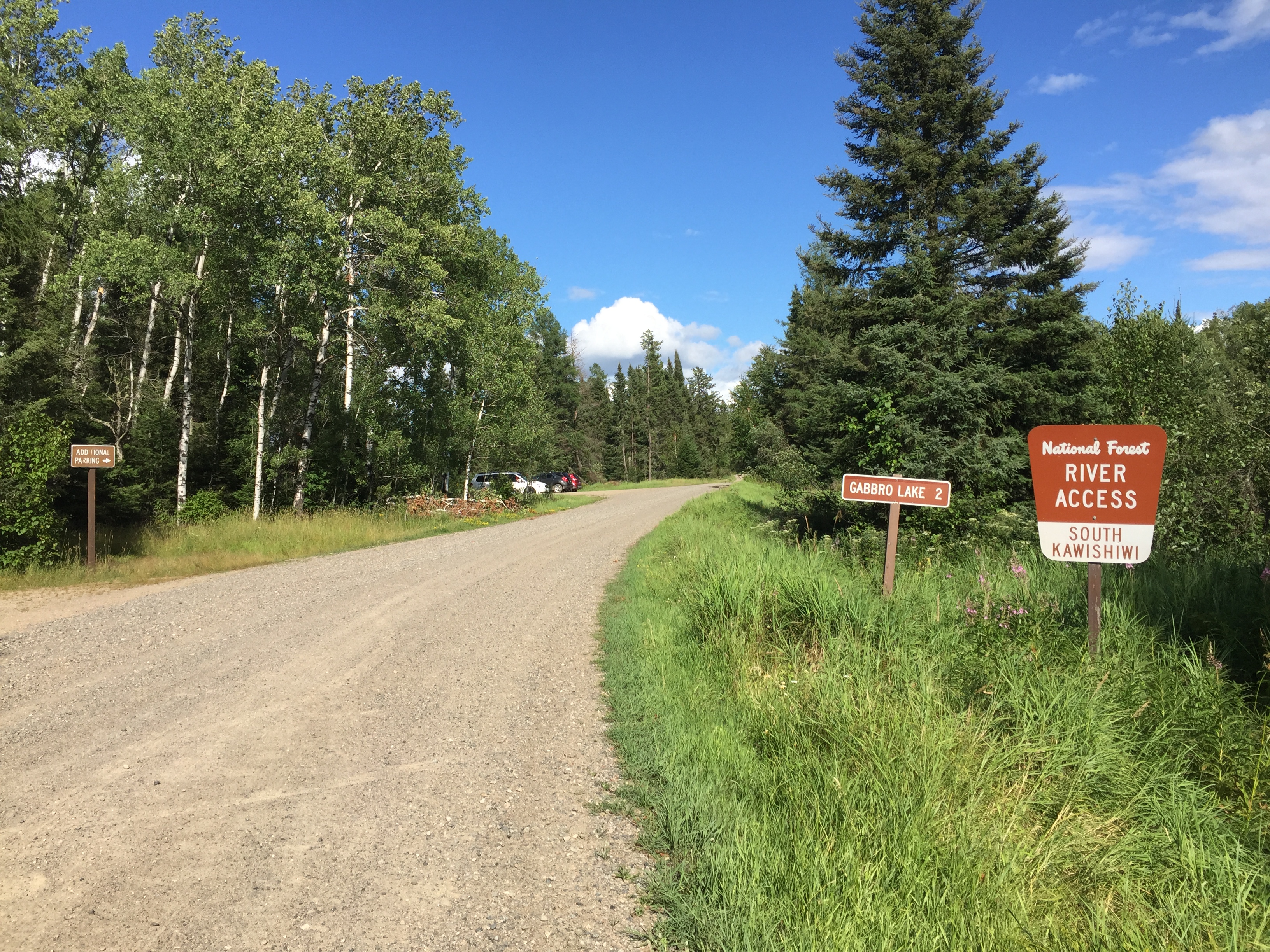
There are two parking lots here. The one on the left right by the start of the portage is small and holds a few cars. A slightly larger parking lot is visible in the distance. Little Gabbro Lake is another two miles ahead (as the sign indicates) (August 5, 2016).
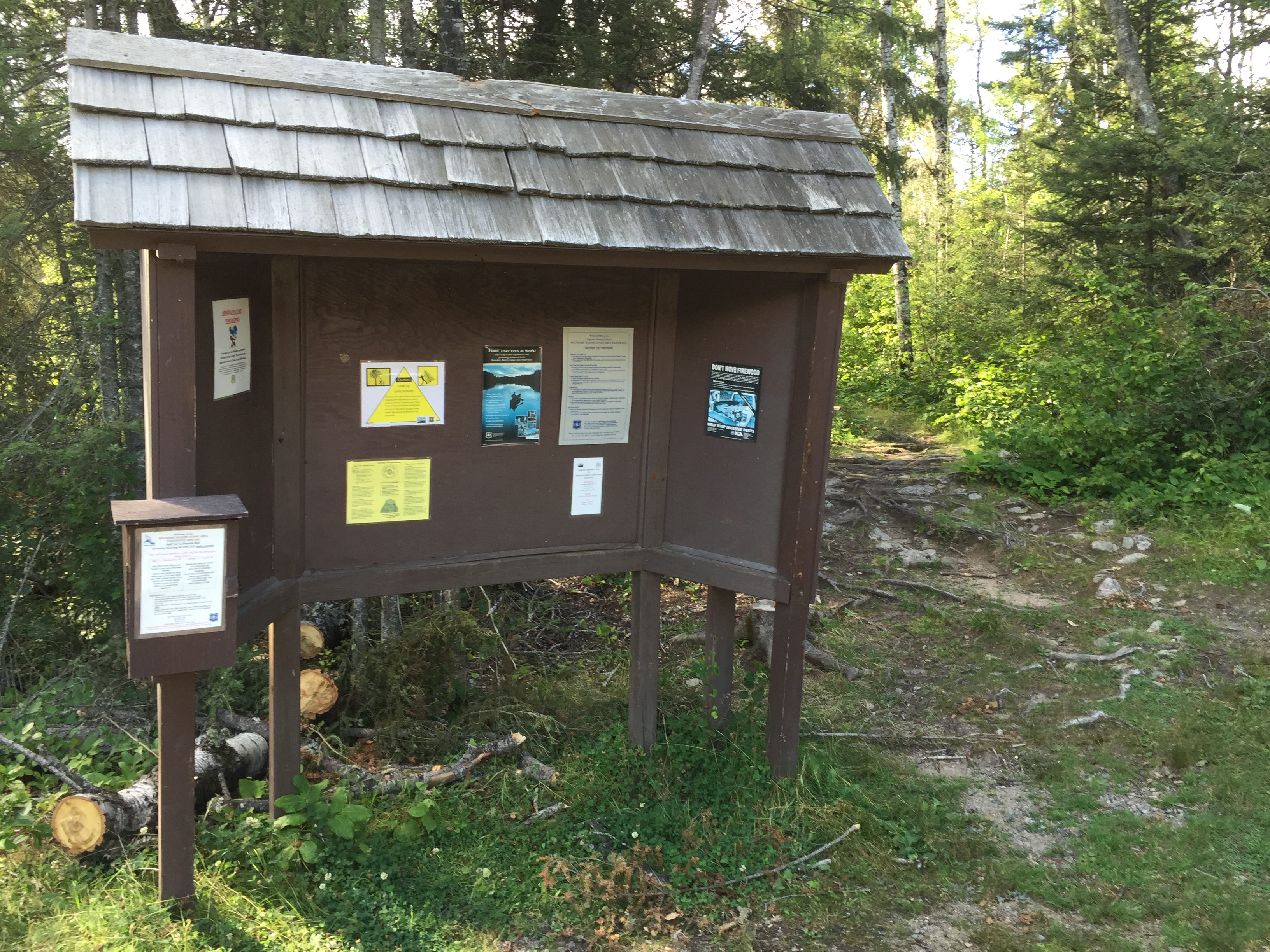
The tilted bulletin board in the empty entry point parking lot (August 5, 2016).
The portage starts just off the edge of the road in the smaller of the two parking lots at this entry point (May 13, 2023).
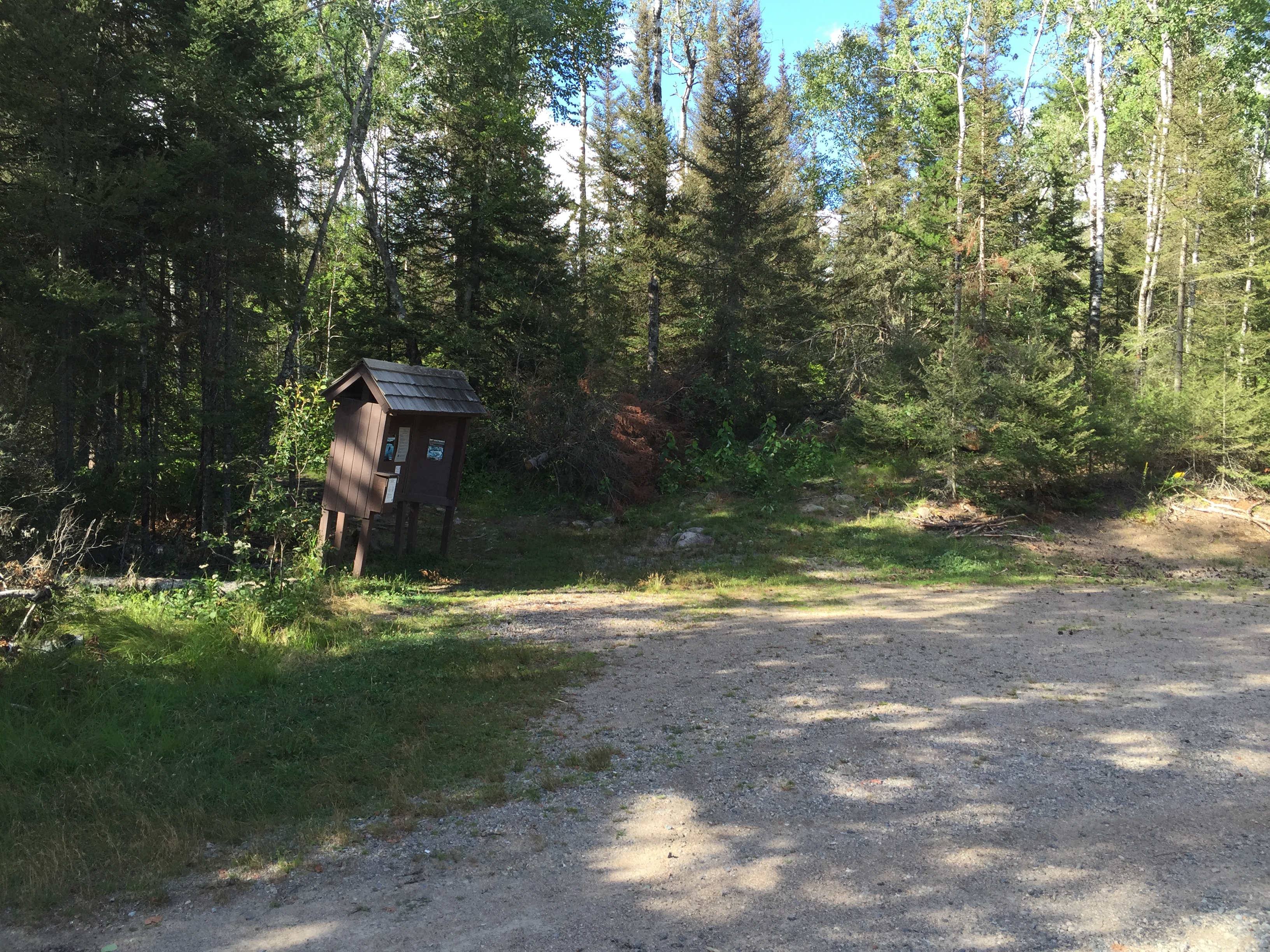
The bulletin board. The portage to the South Kawishiwi River is just to the right of the bulletin board and leads off into the woods (August 5, 2016).
A fairly long portage of 147 rods to the shore of the South Kawishiwi River. That is just under 1/2 mile. 320 rods to the mile. (See this portage in both directions here.) (May 13, 2023).
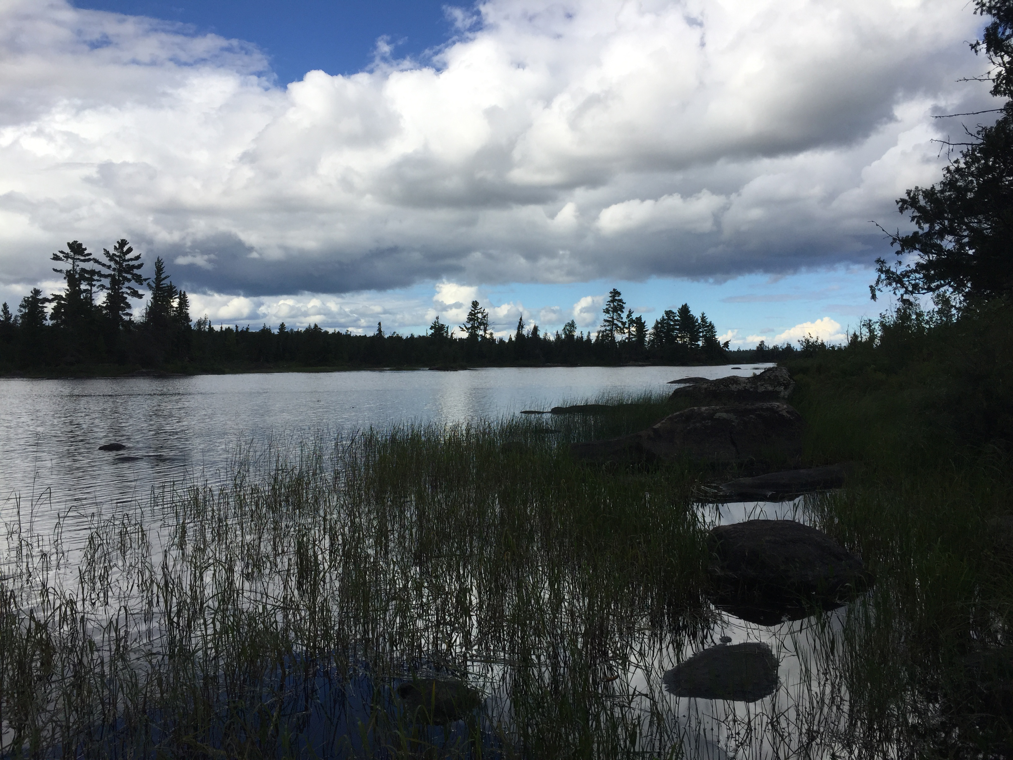
View of the South Kawishiwi River from the end of the portage (August 5, 2016).