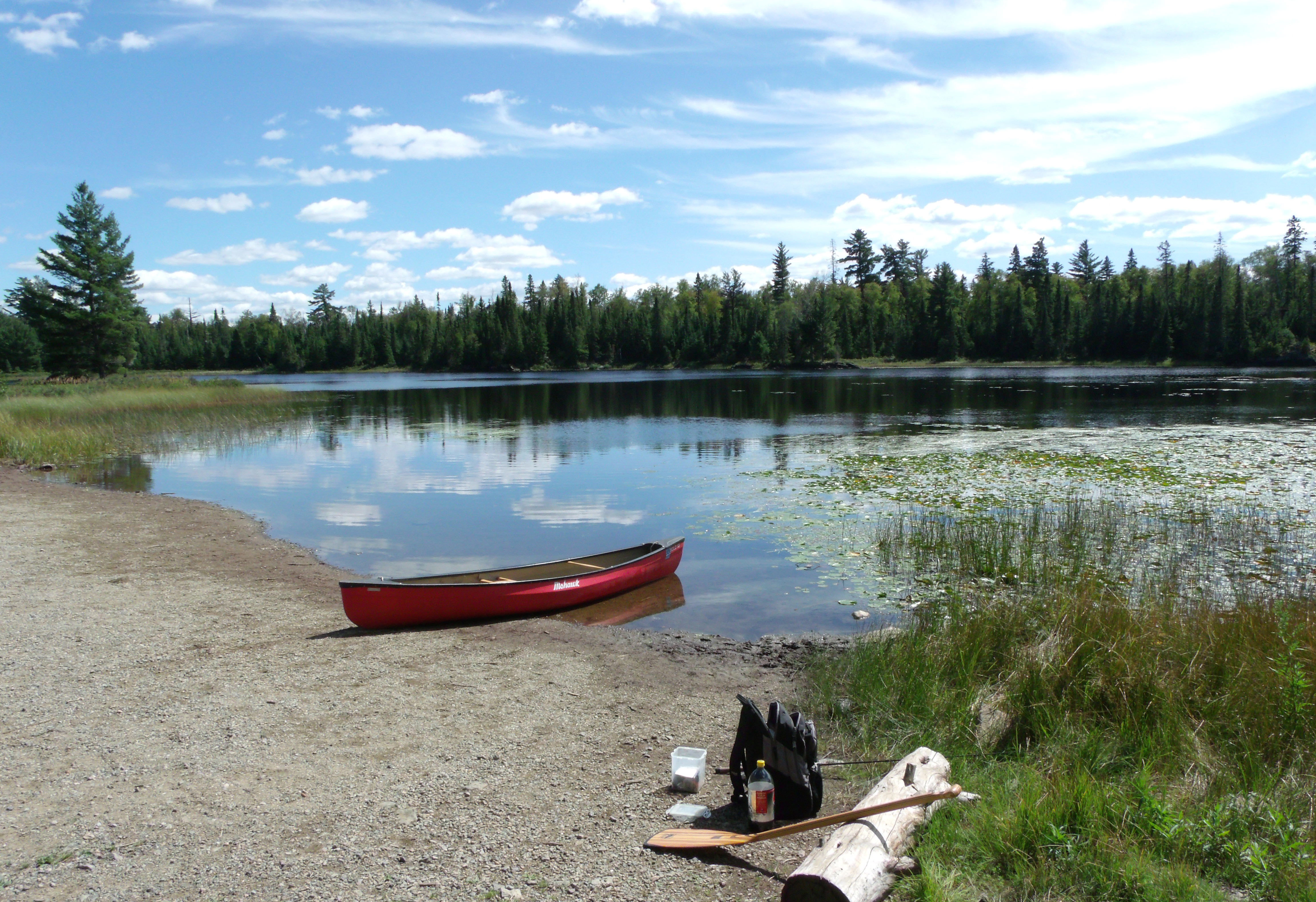
LAKE ONE CAMPSITES: Campsite 1 (#2302): Located along the north shoreline of the large northeastern bay. Campsite 2 (#1675): South shore just east of channel separating the lakes two halves Campsite 3 (#1673): Near mid-lake in middle of point that extends east from north shore Campsite 4 (#1672): Near mid-lake at west end of point that extends east from north shore Campsite 5 (#1677): On south side of point located on east shoreline in south part of lake Campsite 6 (#1676): Middle of three campsites on east shore in south part of lake Campsite 7 (#1674): North most of three campsites on east shore in south part of lake Campsite 8 (#1678): West end of large island in southern part of lake Campsite 9 (#1671): Just east of the Confusion Lake portage Campsite 10 (#1670): Just west of the Confusion Lake portage
Campsite 11 (#2303): Next to rapids flowing into the east bay of lake from Lake Two Campsite 12 (#1147): Second campsite west of Confusion Lake portage Campsite 13 (#1146): West most campsite on the lake Campsite 14 (#2219): On island southeast of Confusion Lake portage
You won't find solitude on this lake unless you come here in the off season. Lake One is one of the busiest entry points into the BWCA.
From the entry point landing, there are two routes into the main body of Lake One. The most common route is to leave the entry point landing and head to the left (east). This direction requires more paddling, but eliminates portaging. You will pass by the Kawishiwi Lodge if you decide to go this way. The second route is to head west along the Kawishiwi River and then through Confusion Lake. There are three short portages if you head this way, but less paddling. Either direction will get you near the middle of the south half of Lake One.
This lake is a reservoir of the Kawishiwi River as a result of two dams that control water into and out of the lake. These are the Lake No.1 Dam and Lake No. 2 Dam.
The lake is not known for particularly good fishing, but it does contain walleye and northern pike. It receives quite a bit of fishing pressure. Try fishing where the water is moving (i.e., below the dams).
The Kawishiwi Lodge is on the north end of the lake and you will paddle right by it when heading into Lake One from BWCA Entry Point 30, unless you head straight west from the landing down the Kawishiwi River.
Lake One is a confusing lake for many paddlers. See the BWCA Entry Point 30 web page on this site for a discussion of why this lake is so easy for visitors to get turned around on.
If you are looking to quickly find some quiet waters, try paddling up Pagami Creek on the western end of Lake One. This is a long, easily navigable creek (assuming water levels aren't really low), that leads back into the Weasel Lake Primitive Management Area. There is a good chance of seeing some wildlife back in this area. Pagami Lake is definitely worth a visit and lies about two miles up the creek. Note, that you cannot camp within a Primitive Management Area unless you have a secondary permit. These permits are free and can be requested from the forest ranger when you pick up your regular permit. See this page for rules on visiting PMAs. Pagami Creek and Pagami Lake make a good day trip from a Lake One base camp.
Only the south shore of Lake One was impacted by the 2011 Pagami Creek Fire.
Between 1893 and 1923 the area around Lake One was extensively cut by the Knox Lumber Company, which was then followed by the St. Croix Lumber Company. The dam between Lake One and Lake Two was built during this time to facilitate floating logs along the Kawishiwi River drainage (Heinselman, 1999).
References:
Beymer, Robert, Boundary Waters Canoe Area – Volume 1 – Western Region (Berkeley: Wilderness Press, 2006), 186, 188, 189, 191, 192, 199, 201, 213, 219, 255, 233, 241, 247.
Beymer, Robert, Boundary Waters Canoe Area – Volume 2 – Eastern Region (Berkeley: Wilderness Press, 2006), 46.
Heinselman, Miron, The Boundary Waters Wilderness Ecosystem (Minneapolis: University of Minnesota Press, 1999), 100, 101, 117, 200, 235, 236.
Pauly, Daniel, Exploring the Boundary Waters (Minneapolis: University of Minnesota Press, 2005), 181, 183, 184.
Rom, William N., M.D., Canoe Country Wilderness (Stillwater: Voyageur Press, 1987), 7, 39.
PADDLING FROM THE BWCA ENTRY POINT 30 CANOE LANDING TO KAWISHIWI LODGE AND OUTFITTERS DOCK
View of Lake One from the BWCA Entry Point 30 landing. If you are heading to Lake Two, the easiest route has you paddling to the left from here. It is possible to go to the right, but you will have to portage several times along the Kawishiwi River before entering Lake One again.
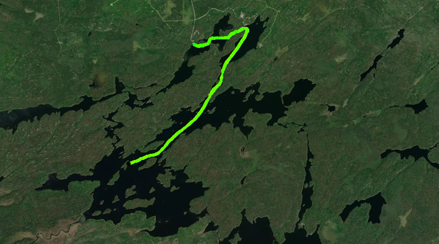
Starting at the nice sandy beach landing at BWCA Entry Point 30, head off to the east. Paddle through a narrow gap and then generally head toward the right (east). You are looking for the very narrow channel that leads to the Kawishiwi Lodge and Outfitters dock. This skinny channel can be difficult to locate. Once in the channel, continue paddling (now heading northeast) until reaching the lodge. There is a dock and many cabins in this area. You don't officially enter the Boundary Waters Canoe Area until you pass this area.
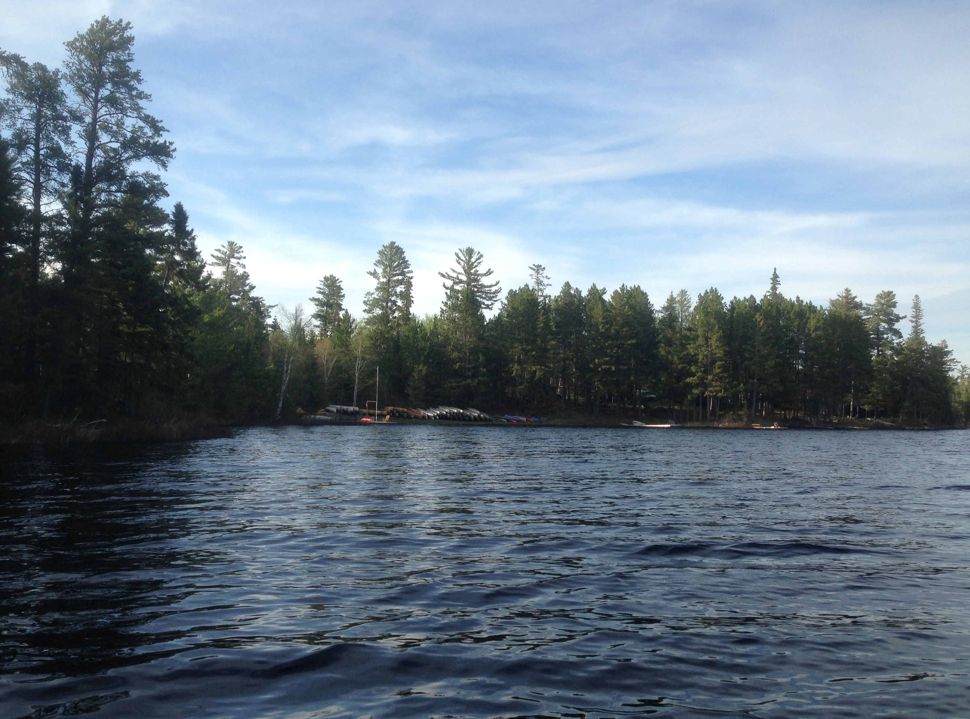
Just as you exit the narrow channel and pass the lodge's dock, to your left are the legions of canoes stacked and ready to go at the Kawishiwi Lodge and Outfitters establishment. Explore Another Route ***********************************************END OF ROUTE***********************************************
PADDLING FROM KAWISHIWI LODGE AND OUTFITTERS DOCK TO BWCA CAMPSITE 2302
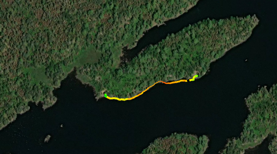
About a half mile south of Kawishiwi Lodge and Outfitters, the long channel comes to an end and the lake starts to open up.
Push off from the dock and paddle to the southwest down the long, narrow northeast channel of Lake One. When you reach the main part of the lake, hook a left and continue along the shoreline to the east until reaching the campsite.
PADDLING FROM THE BWCA ENTRY POINT 30 CANOE LANDING TO THE LAKE TWO PORTAGE
Paddling all the way from the BWCA Entry Point 30 landing, through the narrow channel and past Kawishiwi Lodge and then southwest out into the main part of Lake One. From there, continue generally along the eastern shoreline of the lake, meandering between several islands, until reaching the Lake Two portage in the southeast part of Lake One.
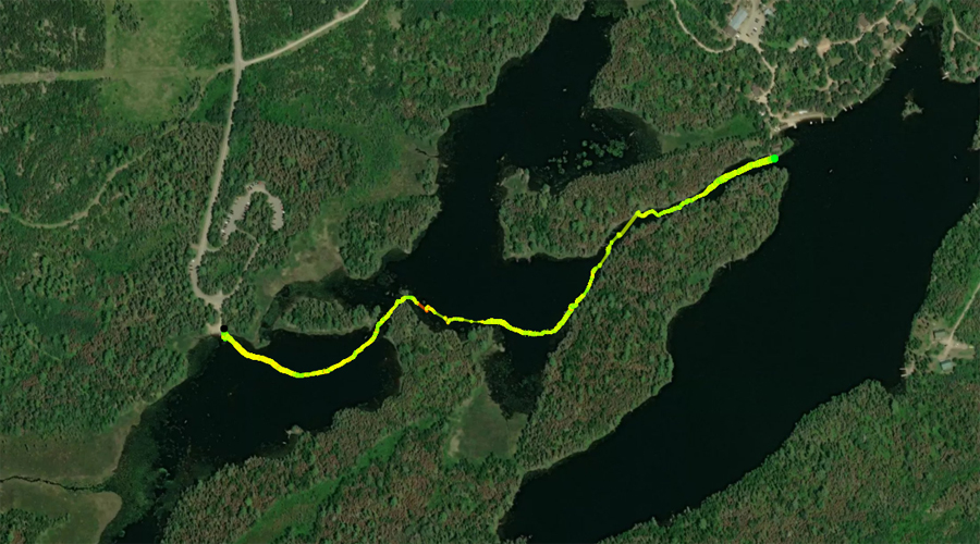
PADDLING FROM BWCA CAMPSITE 2302 TO BWCA CAMPSITE 1675
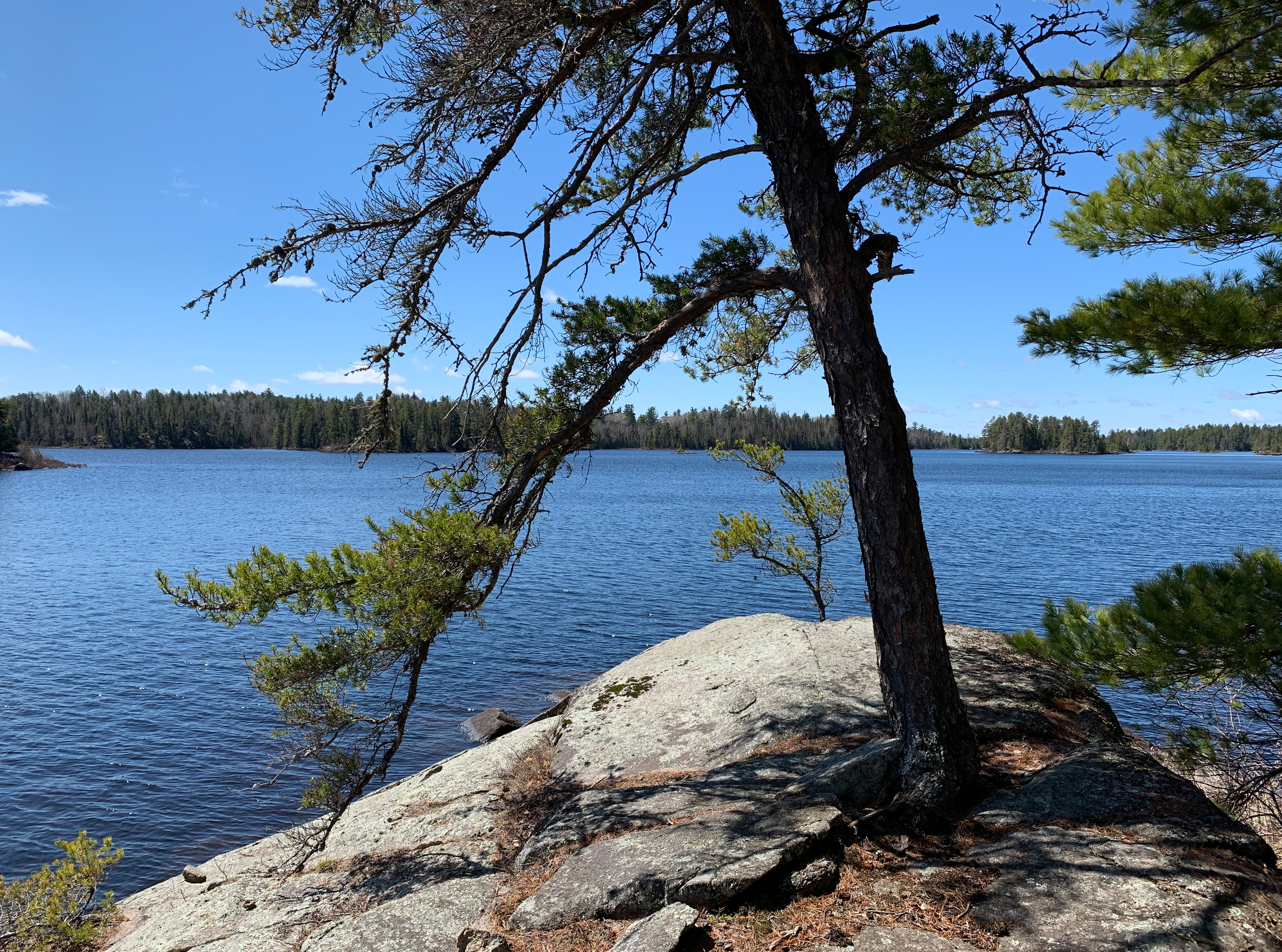
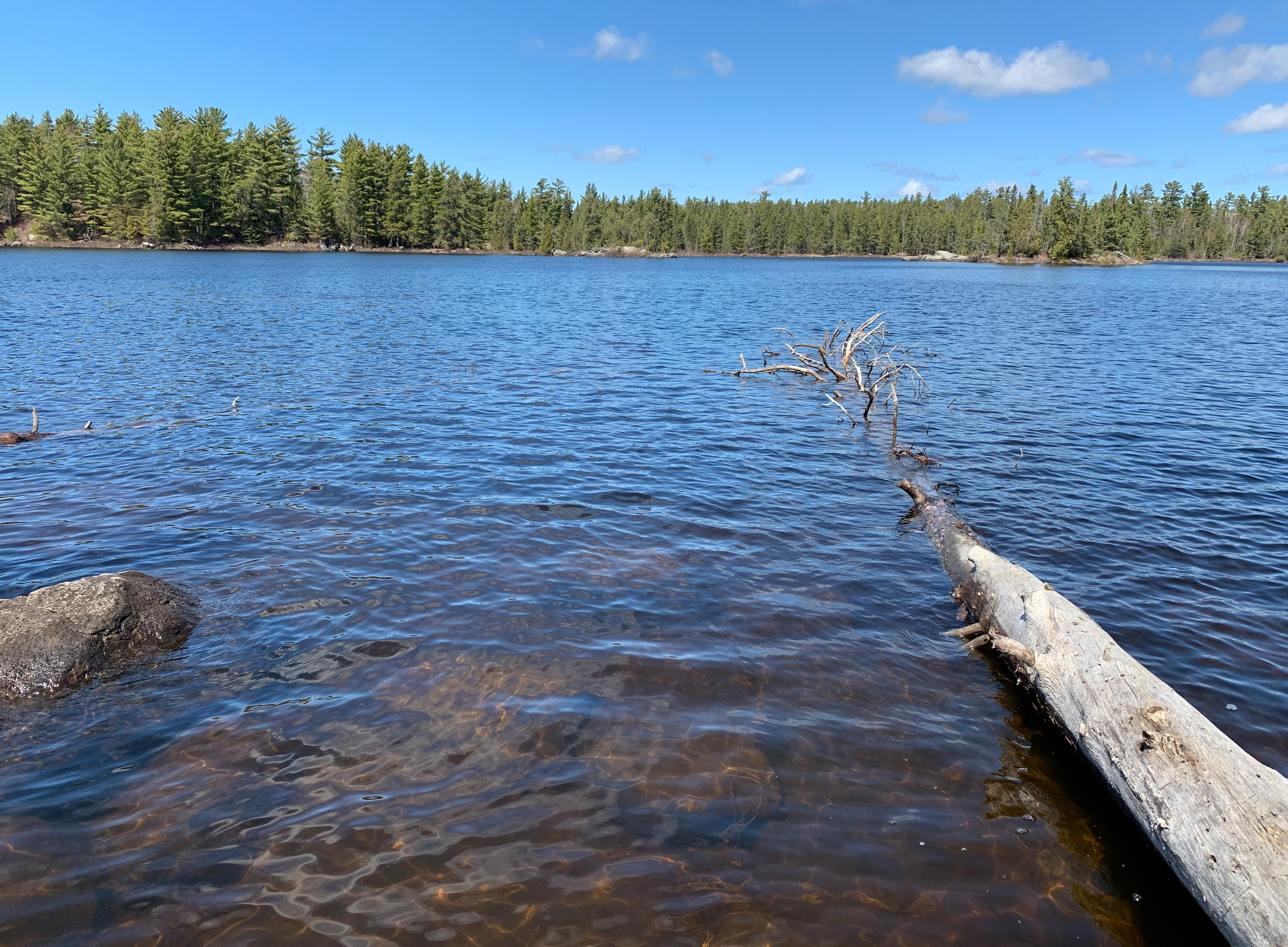
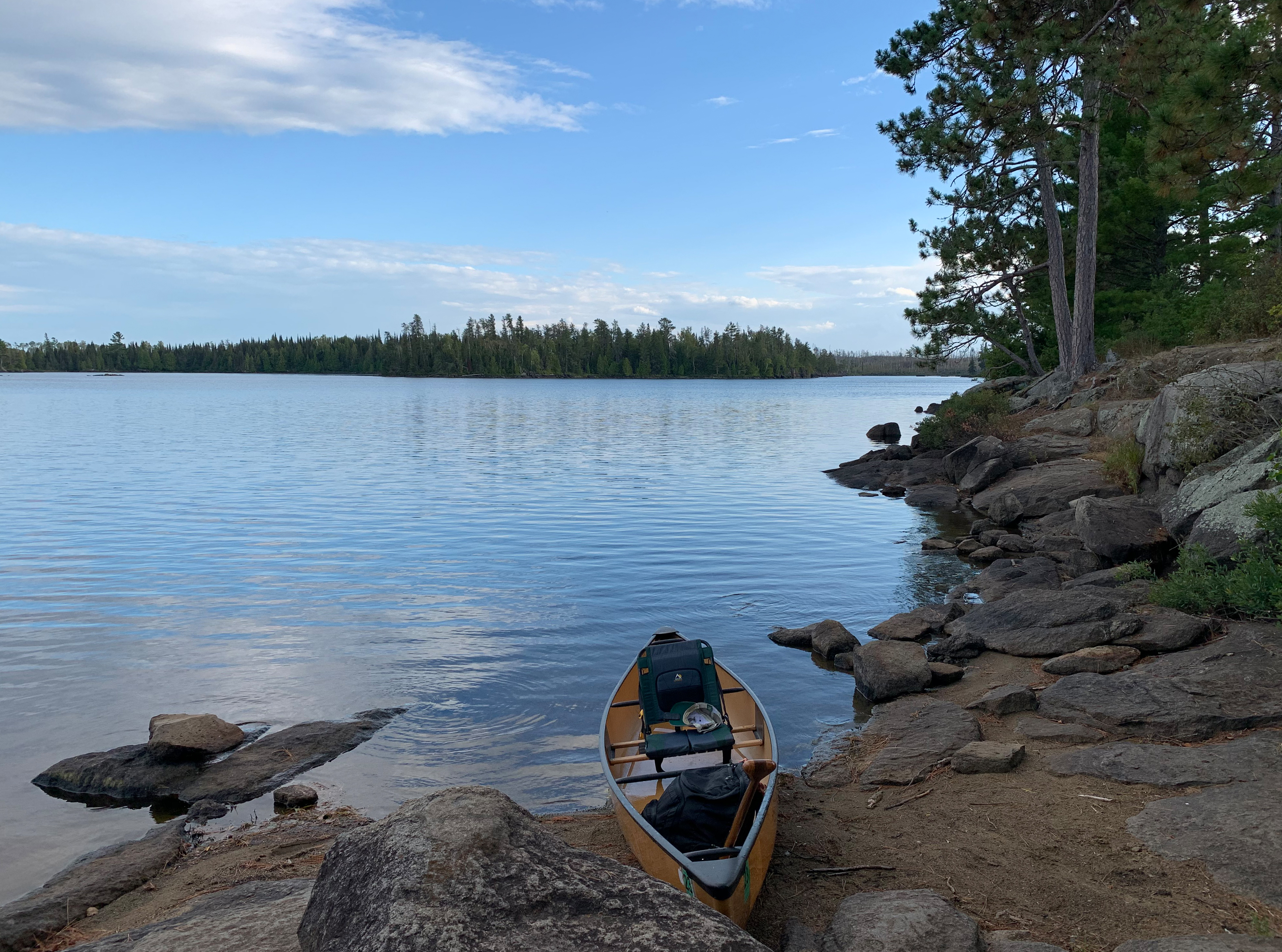
View to the southwest before heading out from Campsite 2302.
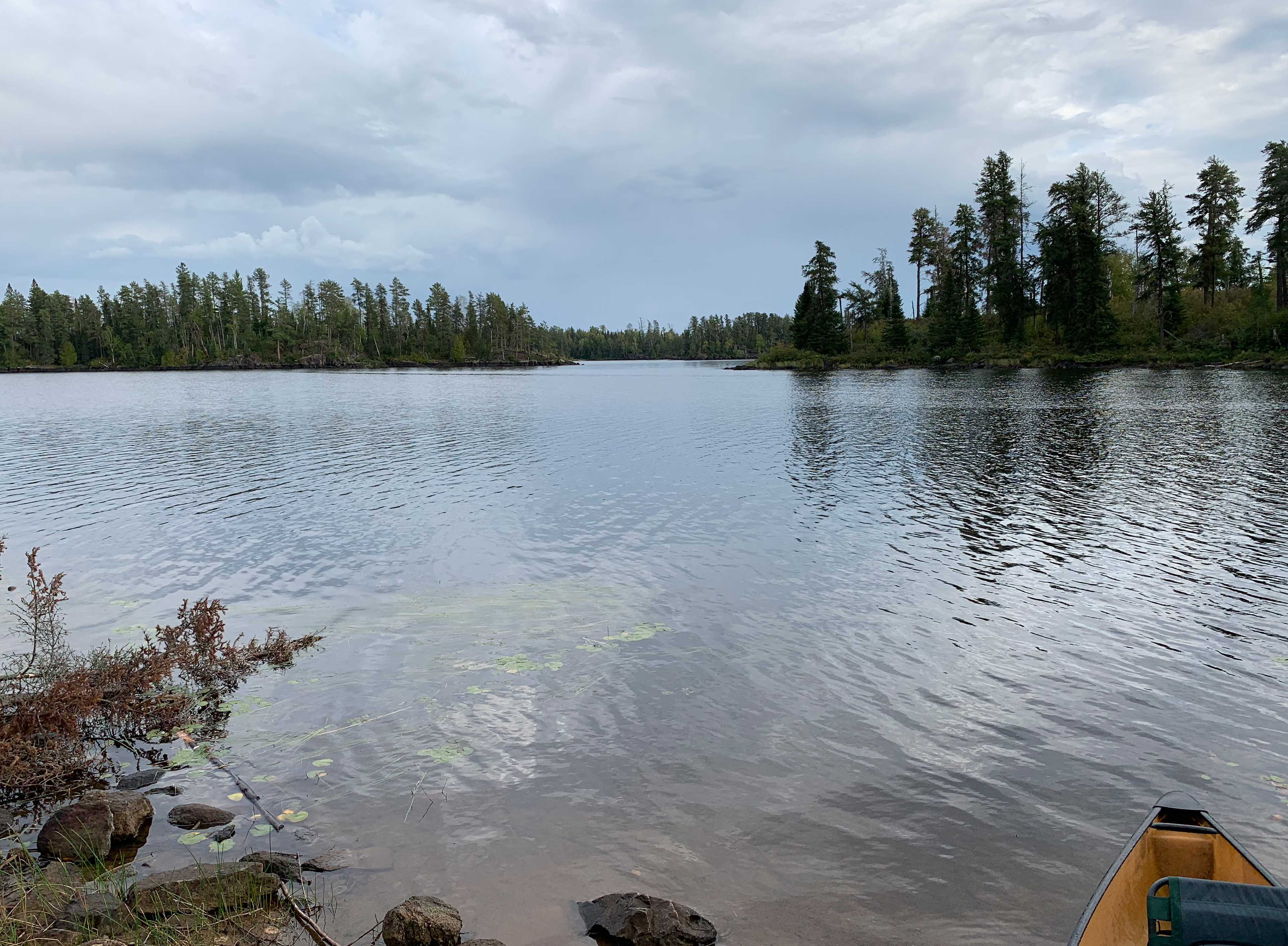
View to the southwest from a location south of the Confusion Lake portage across an open part of the lake. The islands to the right side of your view are the ones a short ways to the northeast of the mouth of Pagami Creek.
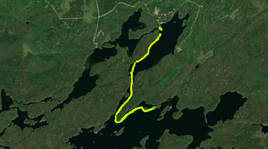
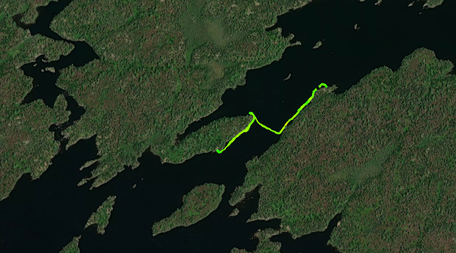
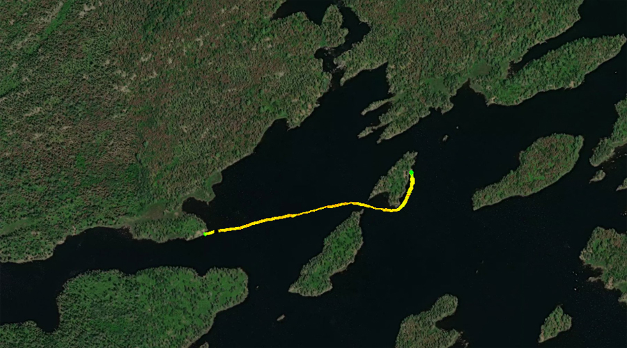
Paddling between the two campsites in the eastern bay of Lake One. Campsite 2302 is along the north shoreline and Campsite 1675 is along the south shoreline. From Campsite 2302, paddle east farther back into the bay, then turn right and paddle south across the lake to the southern shoreline. From there, paddle west to within sight of the rapids formed by where the Kawishiwi River flows into Lake One. There is another campsite next to the rapids, but not visited because it was already occupied. Finally paddle back to the east along the south shore until reaching Campsite 1675.
Looking toward the southwest after arriving at Campsite 1675. Visit the Campsite -or- Explore Another Route ***********************************************END OF ROUTE***********************************************
PADDLING FROM BWCA CAMPSITE 1675 TO BWCA CAMPSITE 1673
Paddle southwest from BWCA Campsite 1675. Cross the narrow part of Lake One to the northeast. Finally, paddle west along the point jutting out from the north shoreline until reaching BWCA Campsite 1673. (Note: BWCA Campsite 1673 is not on an island as many maps depict. Rather it is near the middle of the point that sticks out from the north shoreline, due north of that island.) Visit the Campsite -or- Explore Another Route ***********************************************END OF ROUTE***********************************************
PADDLING FROM BWCA CAMPSITE 1673 TO BWCA CAMPSITE 1672
Paddle southwest along the shore of the peninsula to the next Campsite 1672, which is on the west end of the peninsula. Both Campsite 1673 and 1672 are located on the peninsula that sticks out from the north shoreline of Lake One. Many maps incorrectly show these two campsites on the island (that has a similar shape to the peninsula) that is located just to the south. Visit the Campsite -or- Explore Another Route ***********************************************END OF ROUTE***********************************************
PADDLING FROM BWCA CAMPSITE 1675 TO THE LAKE TWO PORTAGE
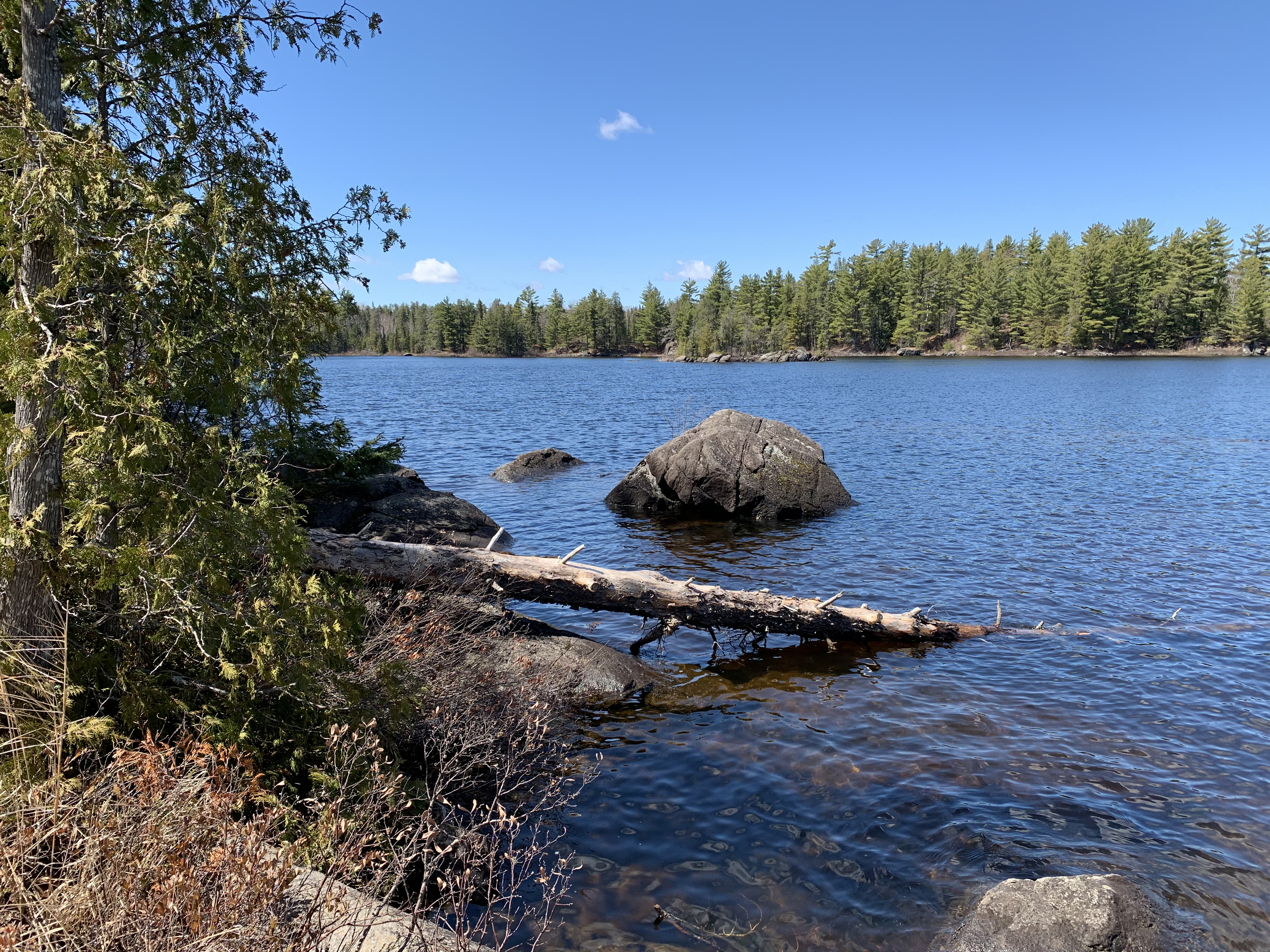
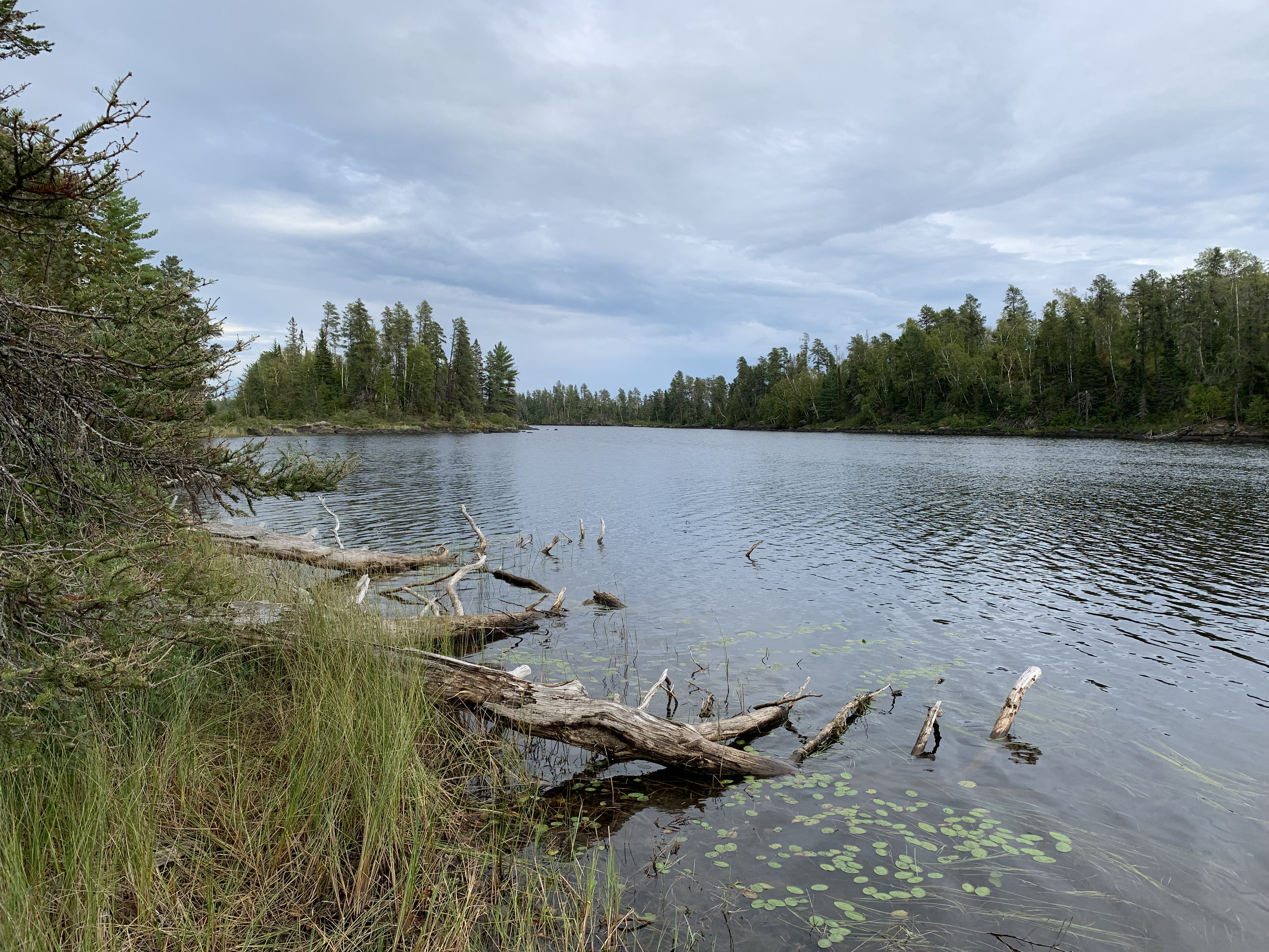
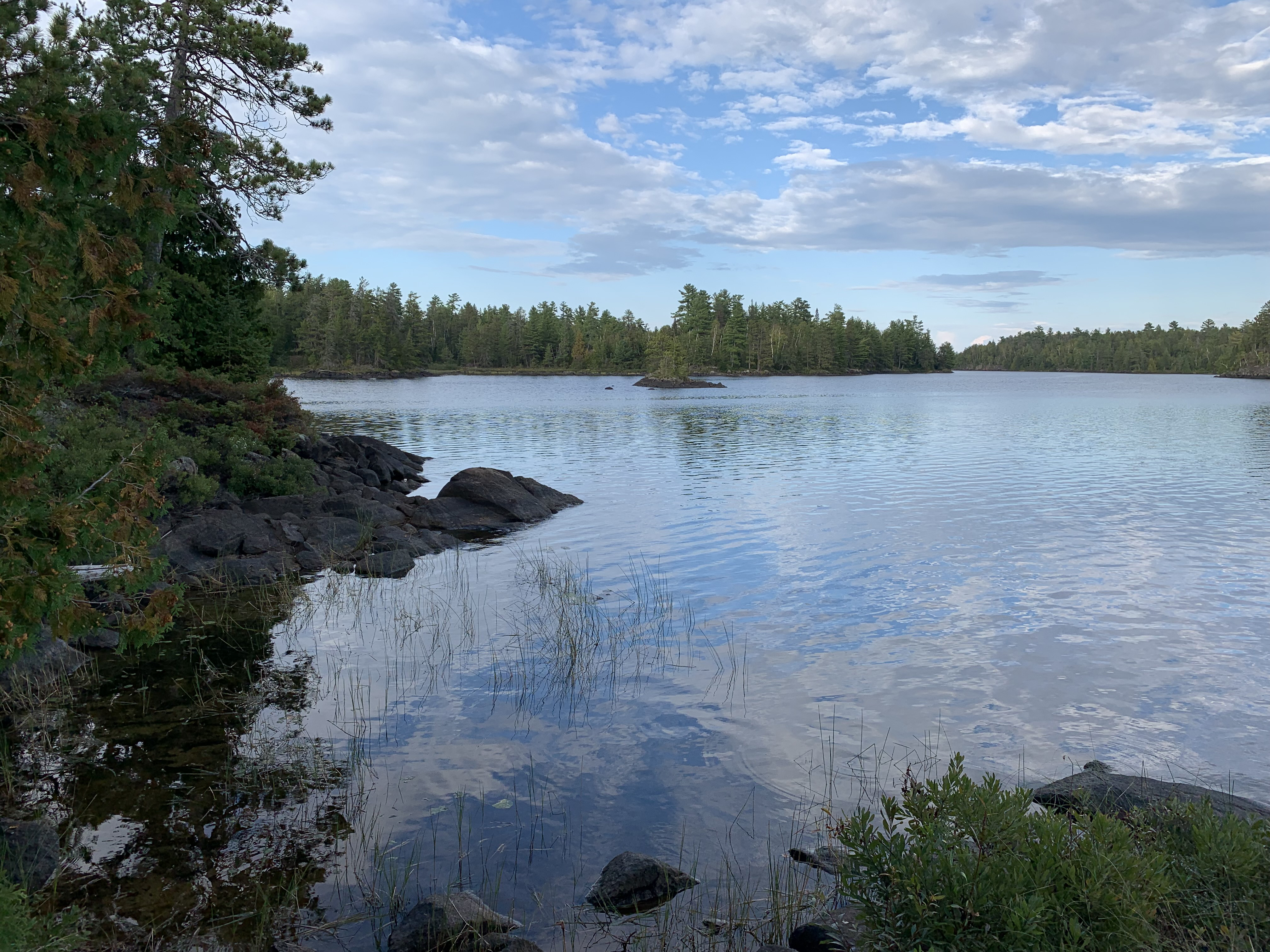
Northwest view from Campsite 1675.
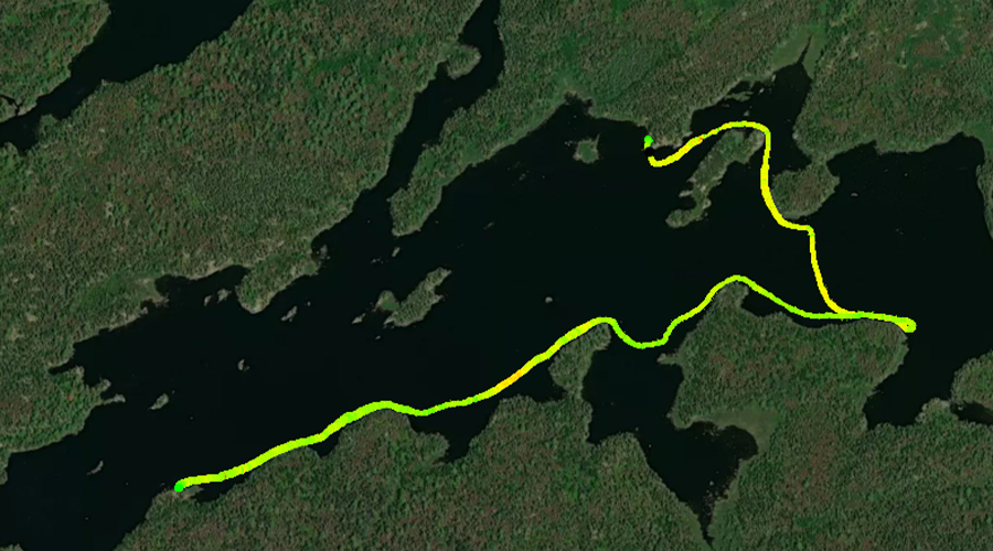
Paddling across a good portion of Lake One from BWCA Campsite 1675 to the Lake Two portage. Generally follow the eastern shoreline through the south part of the lake, weaving between several islands along the way.
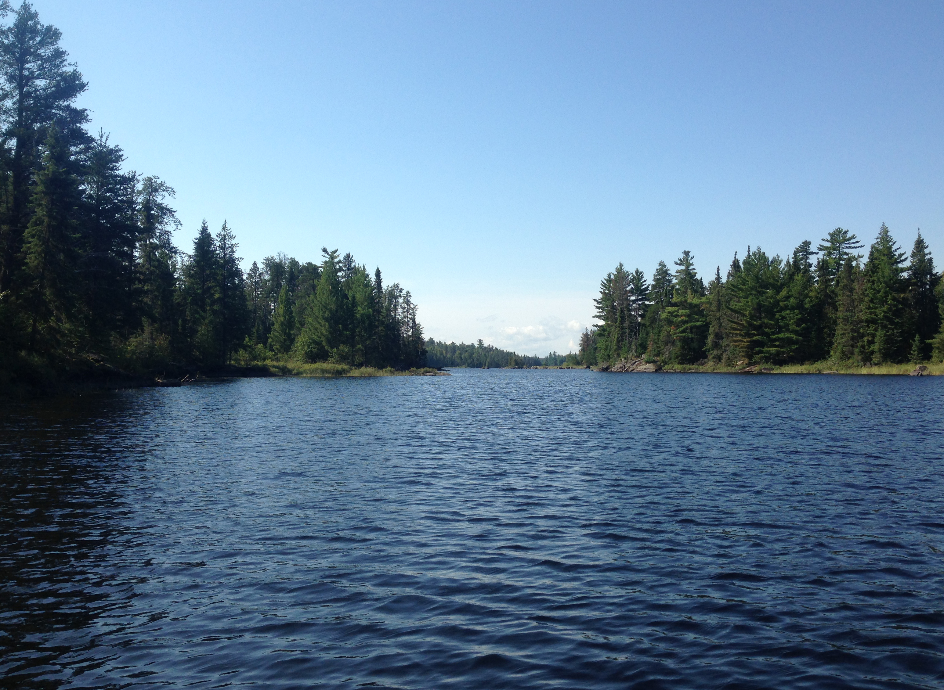
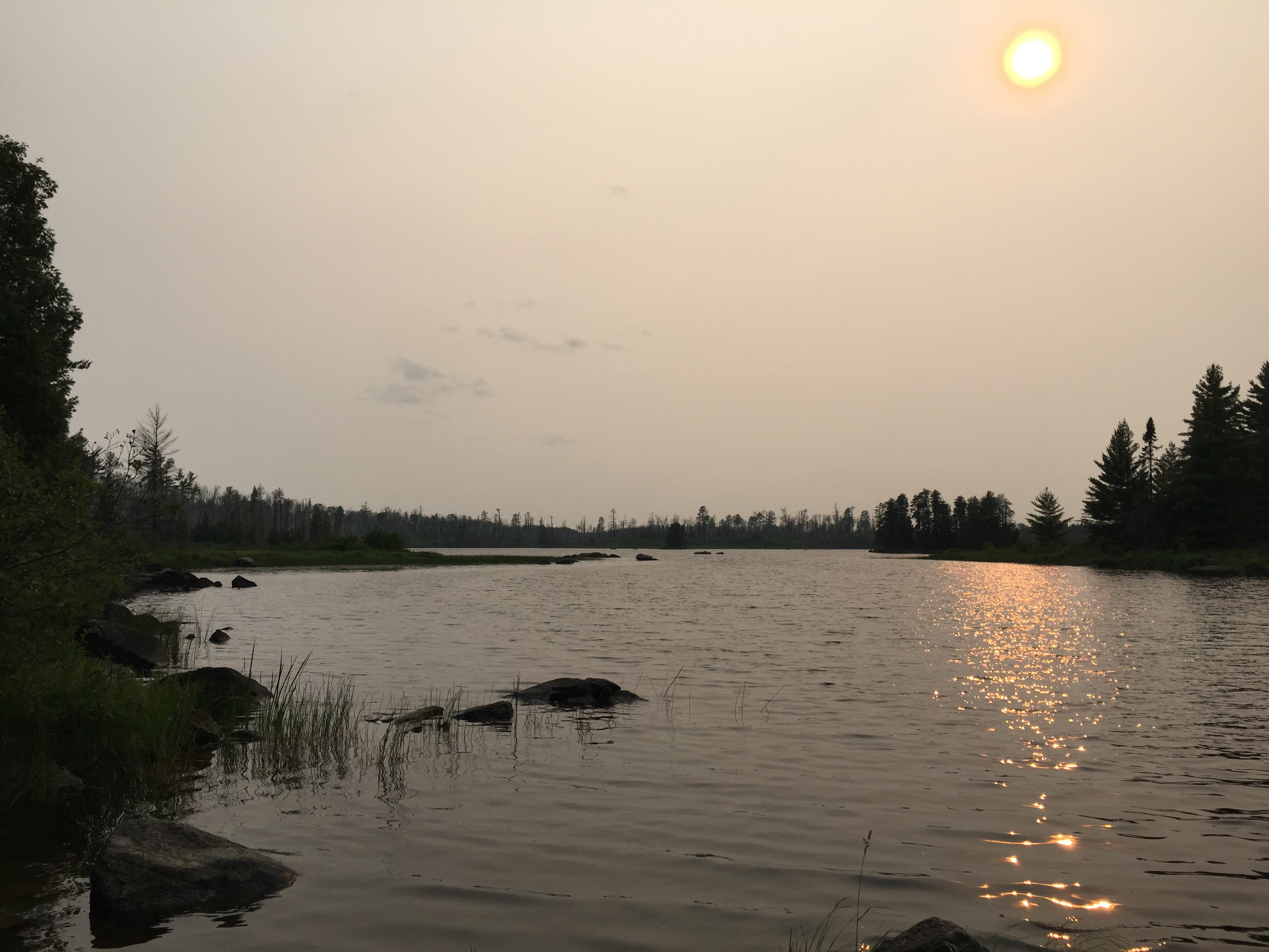
There were massive forest fires up in western Canada and the smoke from those fires was leaving a prominent haze in the atmosphere over the BWCA. Here you are looking out at Lake One from the start of the first of two portages to Lake Two. Portage to Lake Two -or- Explore Another Route ***********************************************END OF ROUTE***********************************************
PADDLING FROM THE CONFUSION LAKE PORTAGE TO THE MOUTH OF PAGAMI CREEK
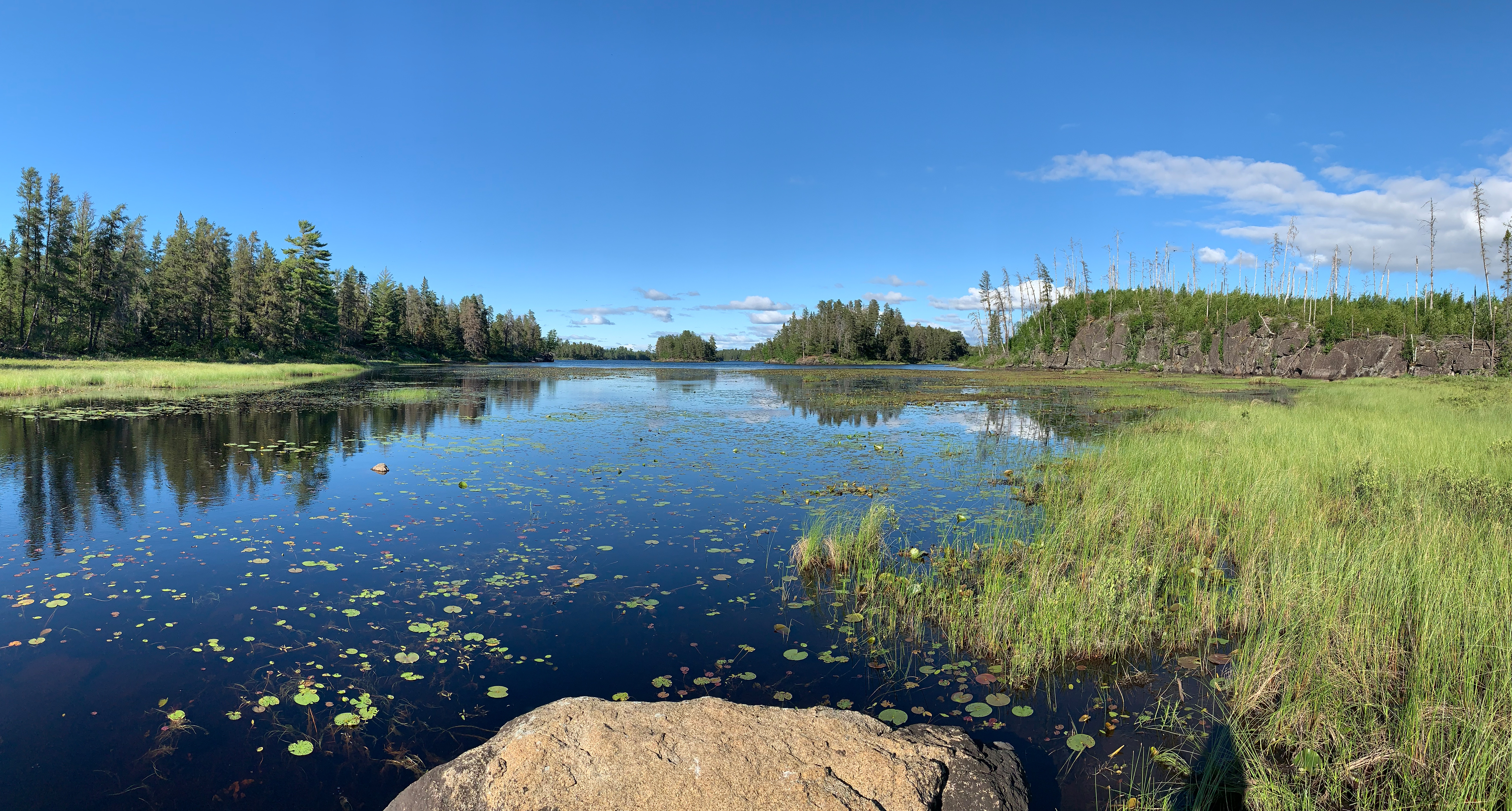
Paddling across Lake One from the Confusion Lake portage to the mouth of Pagami Creek. Pagami Creek leads into the Weasel Lake Primitive Management Area.
Looking to the east/northeast at Lake One from near the mouth of Pagami Creek. Paddle Pagami Creek -or- Explore Another Route ***********************************************END OF ROUTE***********************************************
PADDLING FROM THE LAKE TWO PORTAGE TO BWCA CAMPSITE 1147
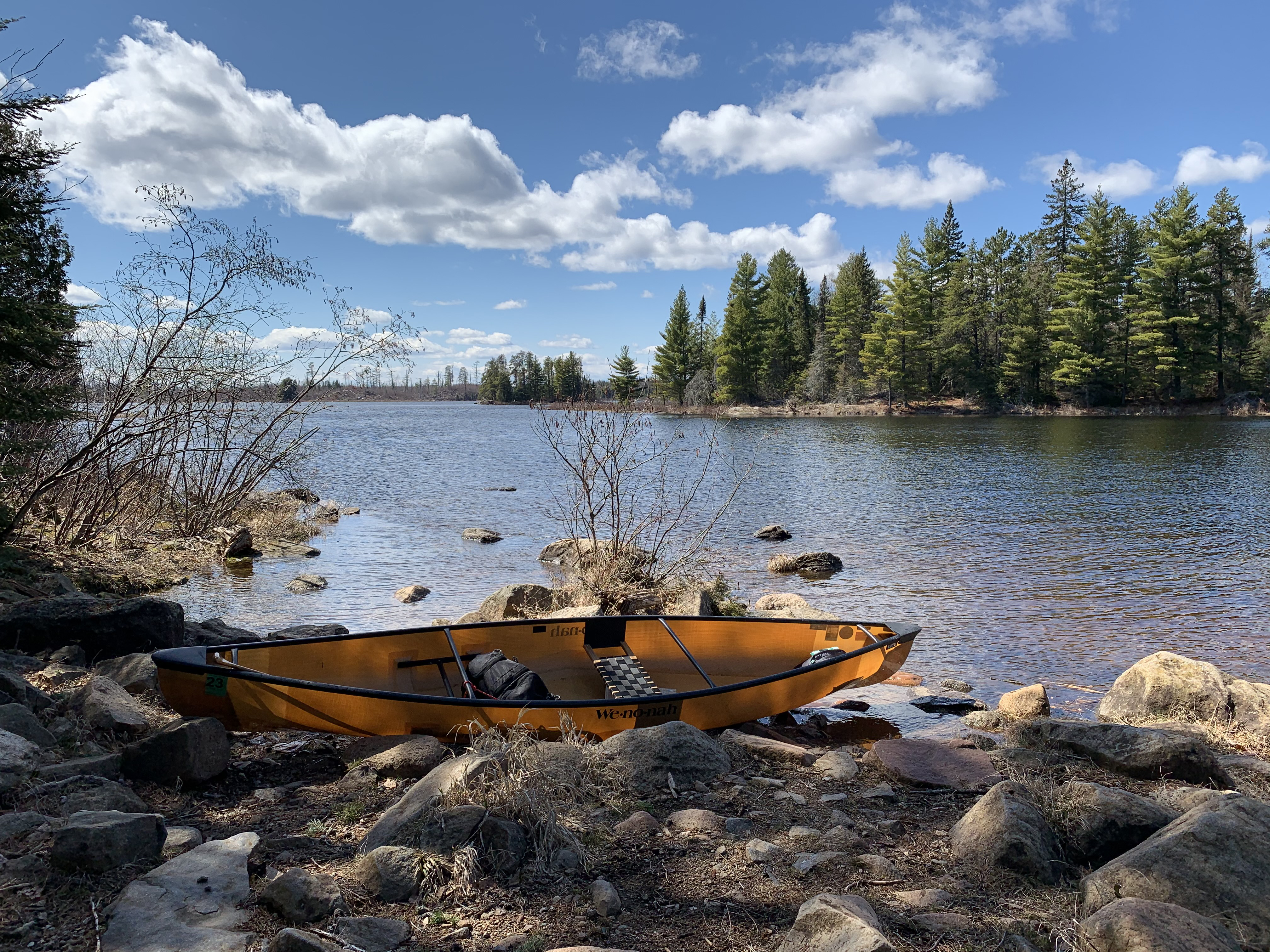
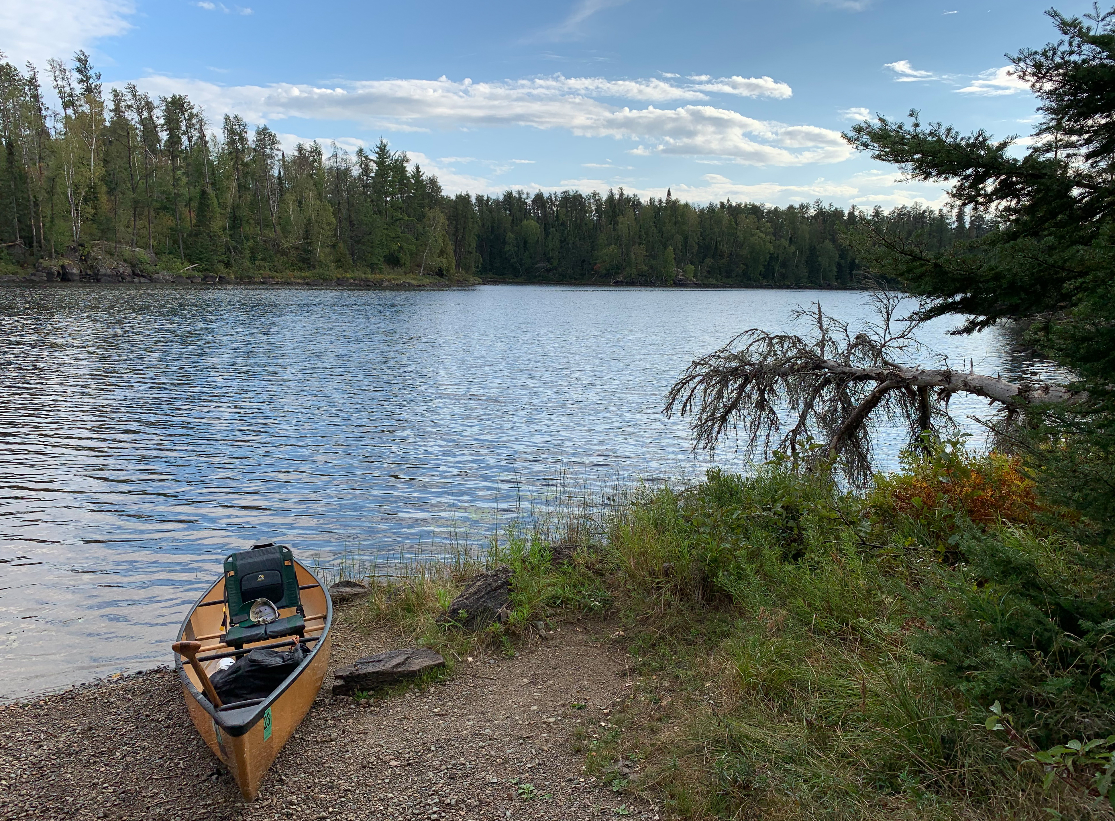
View from the Lake Two portage.
Paddling through rain and against a strong headwind from the Lake Two portage until reaching the campsite on the western end of Lake One. The route follows the south shore of the lake heading toward the west. Once past the west end of the large island in the southern part of Lake One, turn to the north. Paddle in this direction until reaching the campsite near the entrance to the west bay of the lake.
View south from this campsite. Visit BWCA Campsite 1147 -or- Explore Another Route ***********************************************END OF ROUTE***********************************************
PADDLING FROM BWCA CAMPSITE 1147 TO BWCA CAMPSITE 1146
Southeastern view.
A short paddle to the next campsite to the west. Hug the north shore of the western bay of Lake One.
Gazing off to the southwest, further back into the bay. Visit BWCA Campsite 1146 -or- Explore Another Route ***********************************************END OF ROUTE***********************************************
PADDLING FROM BWCA CAMPSITE 1146 TO BWCA CAMPSITE 2219
A look toward the east.
Travel east, passing by BWCA Campsite 1147 on the point on the north side of the bay's entrance. Once you've exited the bay, paddle northeast between the small island to your left and the larger island to your right (south). Paddle around to the east side of the smaller island until you come ashore at the campsite.
Generally looking south from here. Visit BWCA Campsite 2219 -or- Explore Another Route ***********************************************END OF ROUTE***********************************************
PADDLING FROM BWCA CAMPSITE 2219 TO THE BWCA ENTRY POINT 30 LANDING
A look to the northeast. BWCA Campsite 1672 is just visible behind that tiny island in the center of your view. So you'll have neighbors if you camp here.
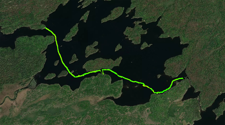
A fairly long paddle. From the island campsite, paddle up Lake One to the northeast. Stay to the left (west/northwest) side of the lake and enter the narrow channel that stretches off to the northeast from the main body of the lake. Make a sharp left turn to the southwest as you pass by Kawishiwi Lodge and wind your way through the shallow channel. After exiting the channel, paddle a short distance to the BWCA Entry Point 30 canoe landing.
On approach to the BWCA Entry Point 30 landing. Explore BWCA Entry Point 30 -or- Explore Another Route ***********************************************END OF ROUTE***********************************************
PADDLING FROM THE BWCA ENTRY POINT 30 CANOE LANDING WEST TO THE KAWISHIWI RIVER PORTAGE
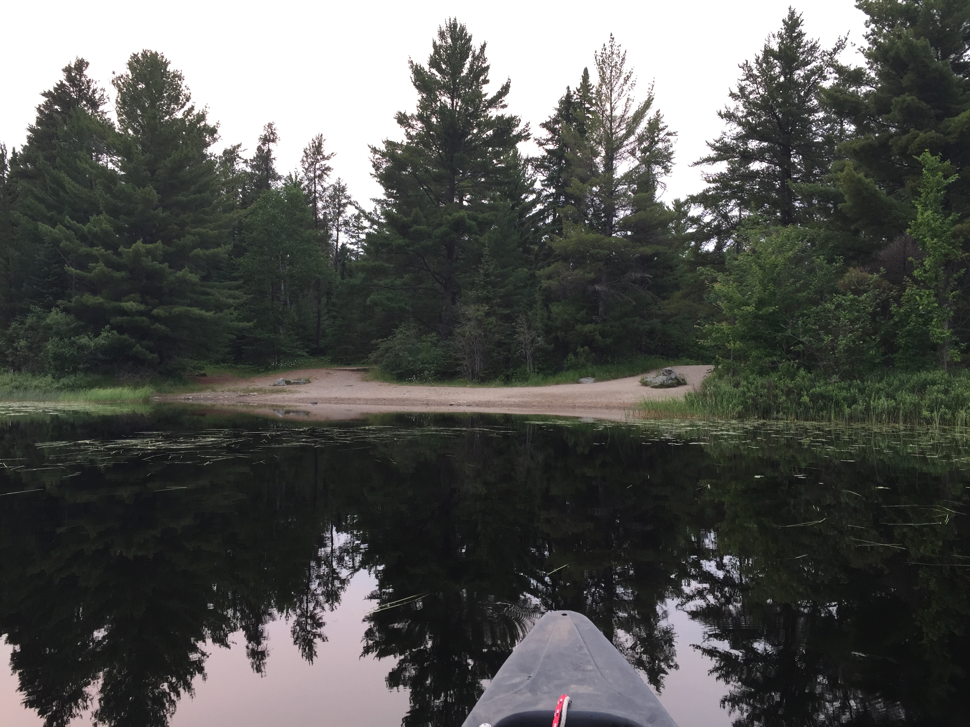
Paddling to the west from the BWCA Entry Point 30 canoe landing. You arrive at the 20 rod portage into the Kawishiwi River. This is an alternative route through Confusion Lake into the main part of Lake One, or the direction you want to travel if exploring further downstream along the Kawishiwi River. Portage to the Kawishiwi River -or- Explore Another Route ***********************************************END OF ROUTE***********************************************