Nearest Ranger Station: Gunflint Ranger Station, Grand Marais, MN along Hwy. 61 on the North Shore
Portage Length from Parking Lot: None if coming from East Bearskin Lake. If entering from South Bean Lake, there is an 60 rod portage from the parking lot to the lake.
Restroom at Entry Point: Yes (at East Bearskin Lake entry point). Unknown at entry point off Shoe Lake Road and South Bean Lake.
Entry Point 66 - Crocodile River
Gunflint Ranger District
THERE ARE TWO ENTRY POINT LOCATIONS FOR THE CROCODILE RIVER ENTRY POINT - EAST BEARSKIN LAKE AND SHOE LAKE ROAD:
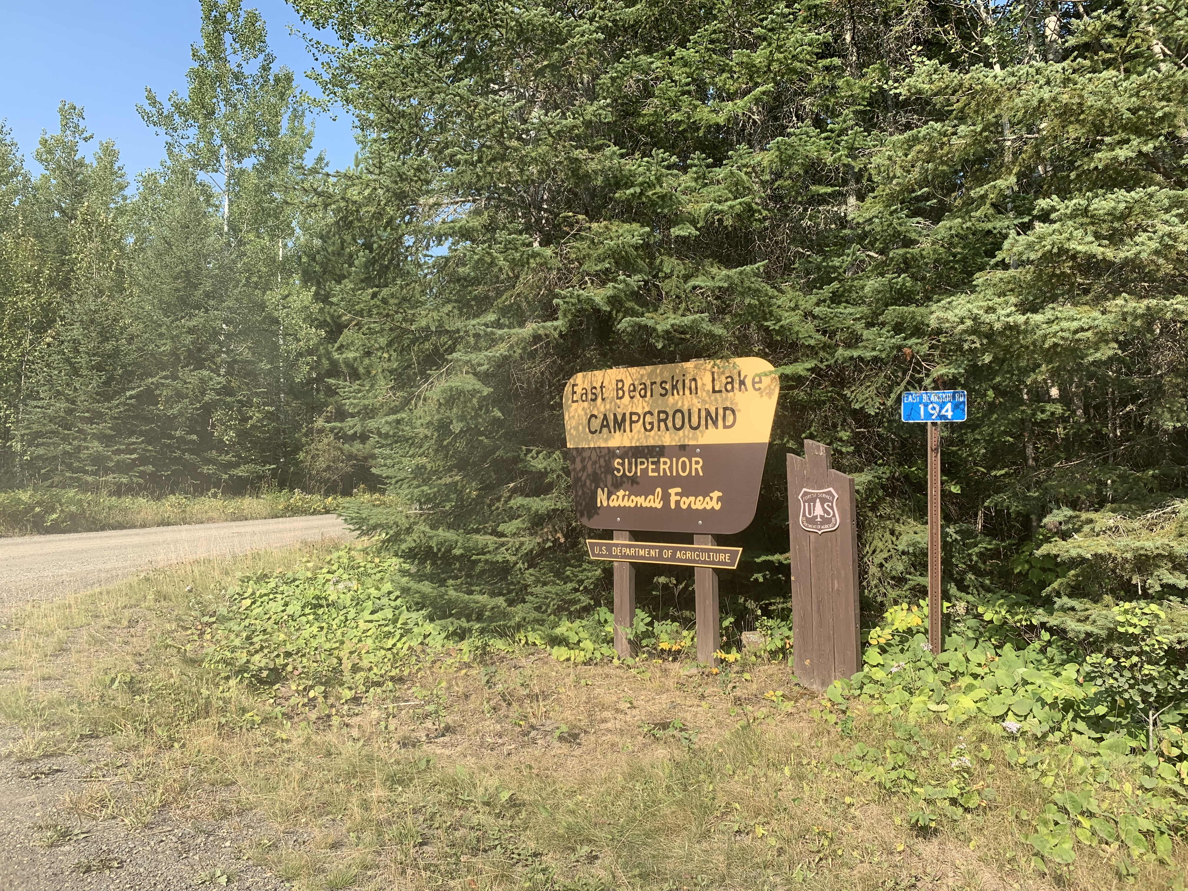
LOCATION ON EAST BEARSKIN LAKE: From Grand Marais, Minnesota, follow the Gunflint Trail for about 27 miles to East Bearskin Road (Country Road 146). There is a big sign for Bearskin Lodge at the turnoff, so hard to miss it. Take a right and drive about 1 mile on the gravel road until you reach the signage for the East Bearskin Lake Campground. Take a right and follow the signs down to the boat landing on East Bearskin Lake.
The U.S. Forest Service offers the East Bearskin Lake Campground if you need a place to sleep the night before your travels. Also, Bearskin Lodge is located on East Bearskin Lake (you pass it on the way to the boat landing).
Motorboats are common on East Bearskin Lake. Along the north shore of the lake's western end are many private cabins. The south shore of the lake is totally undeveloped and much of it lies within the BWCA.
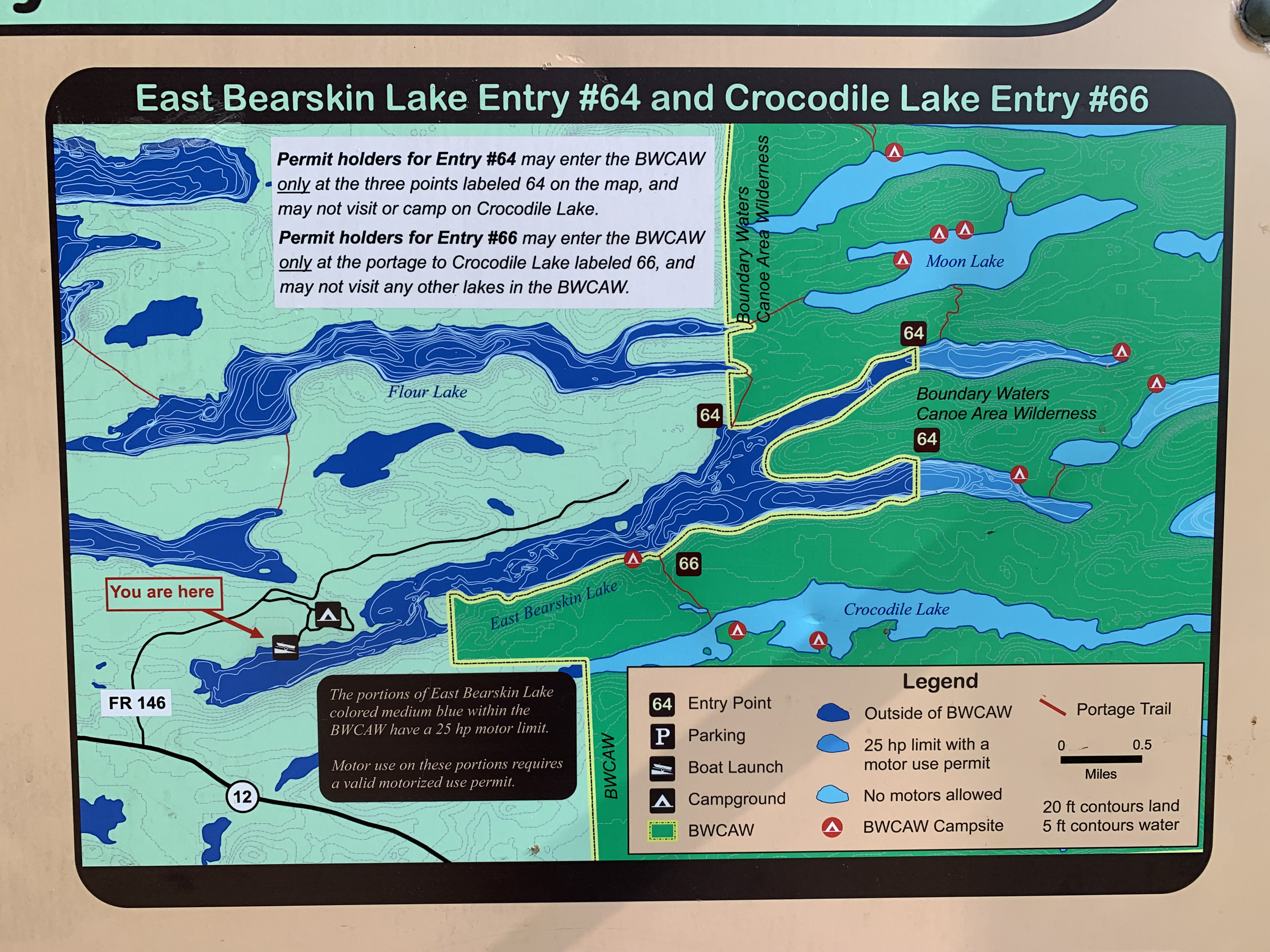
Crocodile Lake is a destination lake. For holders of this permit, you must spend all nights on Crocodile Lake and you cannot visit other lakes in the BWCA. From the entry point landing, paddle east and follow the south shoreline to find the portage trail to Crocodile Lake. There is a stream and campsite just west of the portage. It is easy to mistake the campsite landing for the portage landing. The campsite is west of where the small river flows in and the portage is east of it. You enter the BWCA when you step onto shore (a small sign is tacked to a tree where the portage begins).
The portage to Crocodile Lake is along a good path, but the first 25 rods or so is up a steep hill.
LOCATION ON SHOE LAKE ROAD:
This method of entry into the BWCA for Entry Point 66 is much less commonly used than the East Bearskin Lake landing. This was the original entry point and leads directly to the Crocodile River (which is why it is the Crocodile River entry point and not Crocodile Lake).
From Grand Marais, Minnesota, follow the Gunflint Trail for about 17 miles to Greenwood Lake Road (County Road 309). Take a right. Follow Greenwood Lake Road 4 miles to Shoe Lake Road. Take a left. Set your trip odometer and then continue on Shoe Lake Road for about 5 miles at which time you will be in the approximate location of the portage to South Bean Lake. This 80 rod portage may be hard to find from the road. You can park here along the roadside near the start of the portage.
Besides being harder to find, this route is also more difficult. You must travel through the "vegetable lakes" to reach the Crocodile River. From Shoe Lake Road, portage 80 rods to South Bean Lake. Paddle across that lake to the 75 rod portage to Parsnip Lake. After crossing Parsnip Lake, there is a 100 rod portage to the Crocodile River where you officially enter the Boundary Waters. Travel west along the Crocodile River to Crocodile Lake.
Exploring the Entry Point
Click on the photos below to see the full resolution image - Use your browsers back button to close photo and return to this page.
The entry point is just west of the East Bearskin Lake Campground.
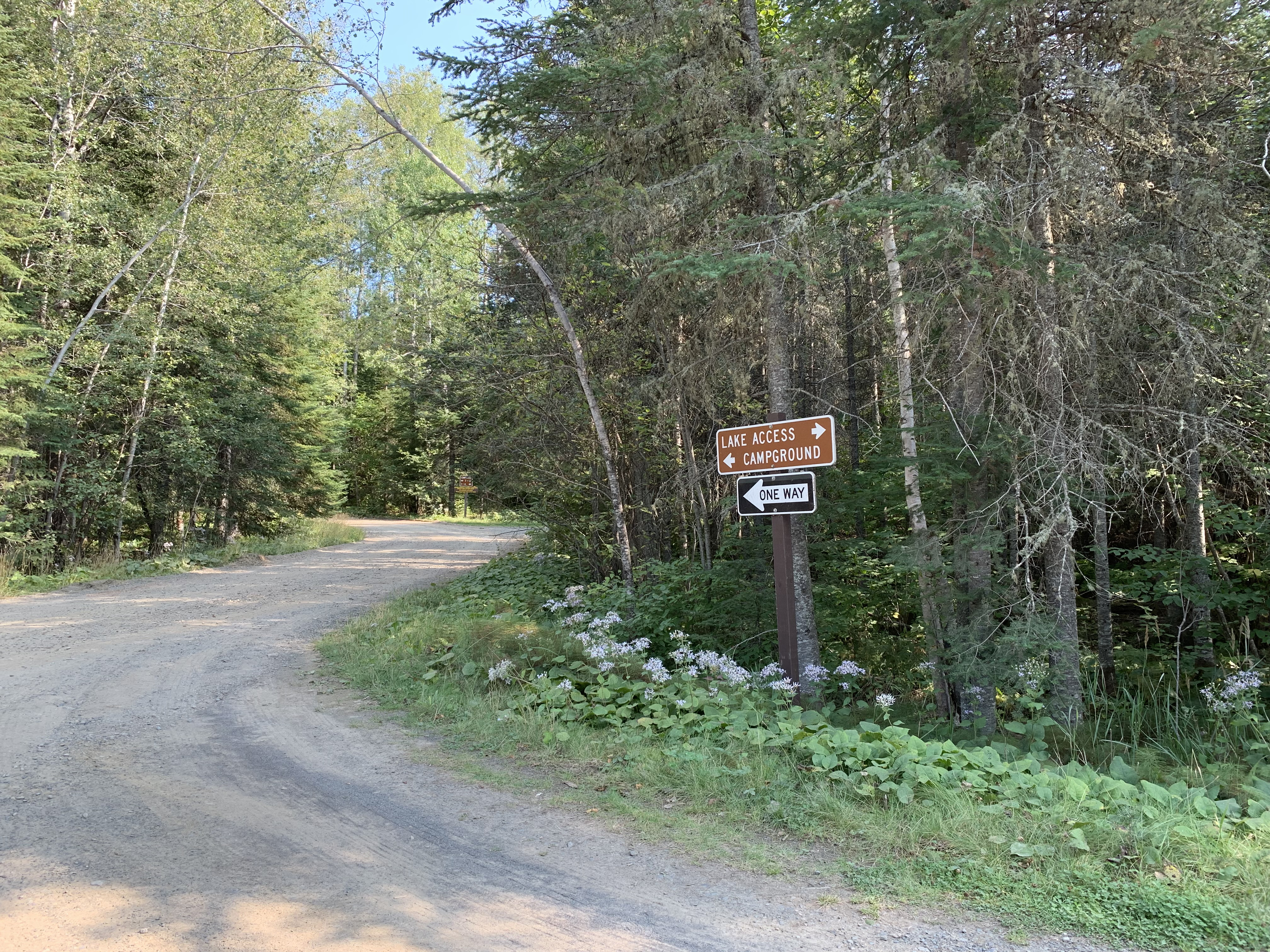
Directional signage along the road.
The campground kiosk. Has a map of the campsites.
The road splits. Campground and entry point parking are separate.
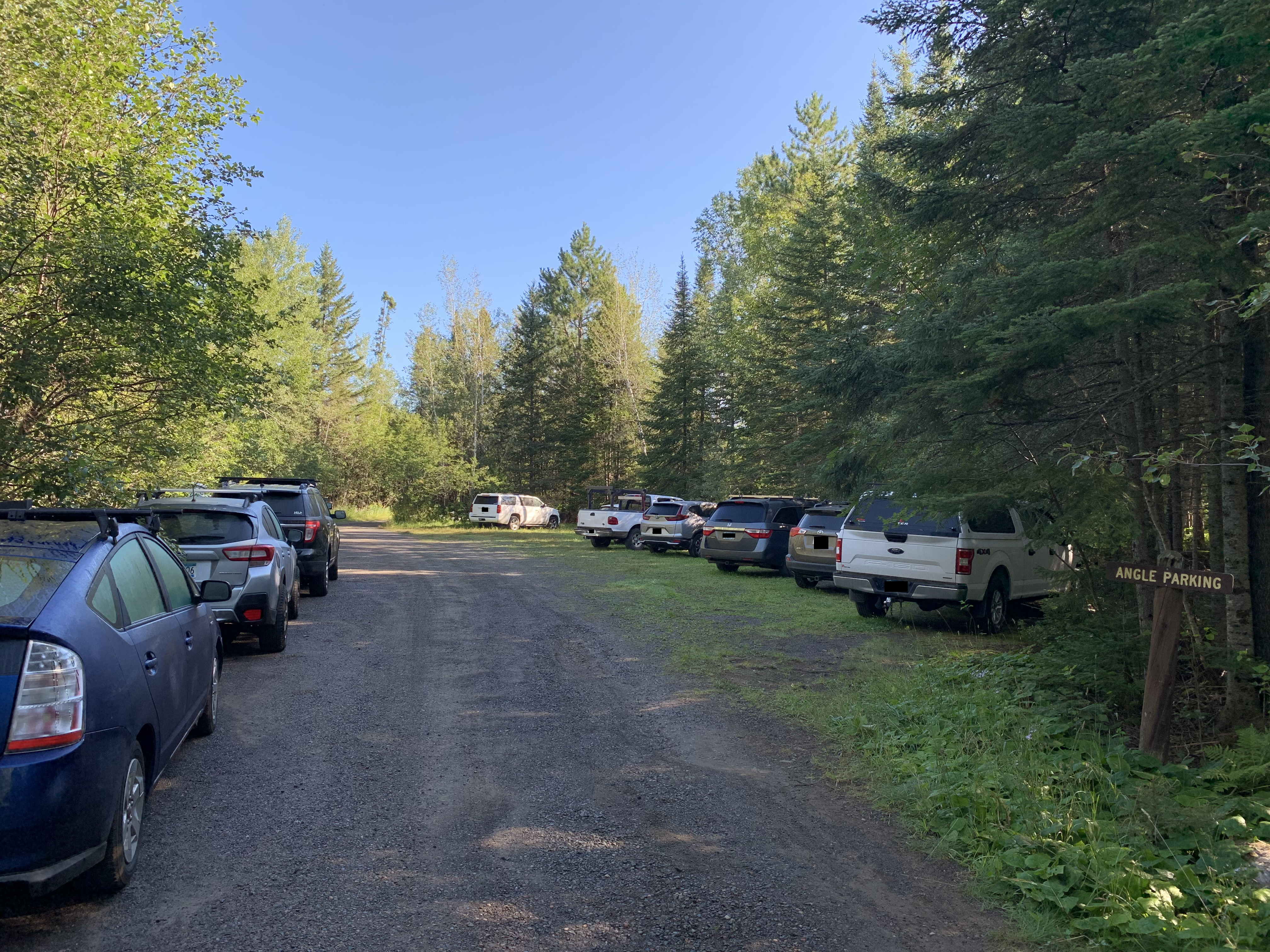
Generous sized parking lot. Accomodates BWCA groups and folks with motorboat trailers. Short walk to the lake. The restroom is between the parking lot and the lake. Parking for the U.S. Forest Service campground is at a different lot.
Tour of this entry point.
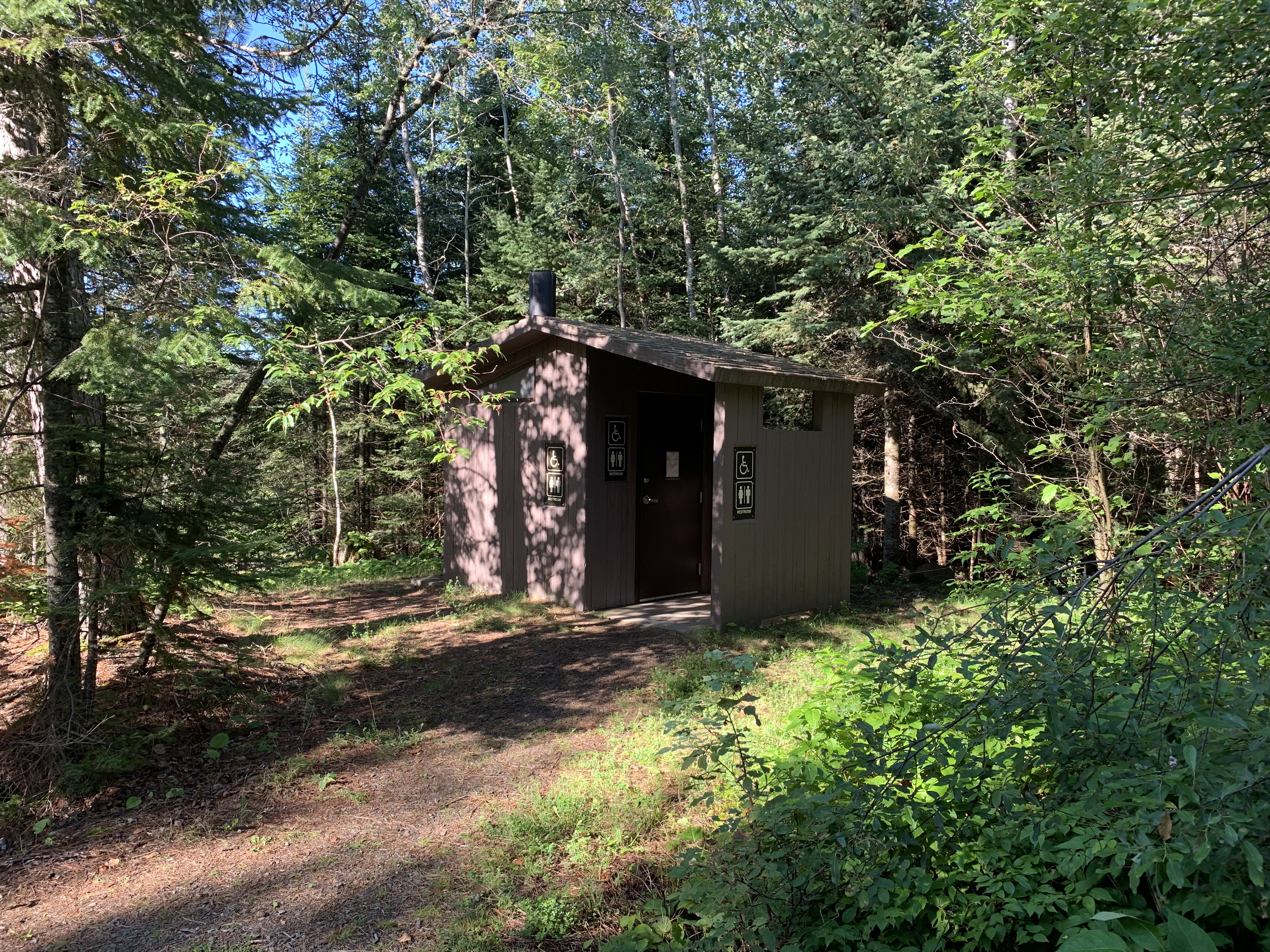
Handy restroom. All the bigger entry points have a full-sized restroom. The entry points with low permit quotas tent to have pit latrines or no bathroom at all.
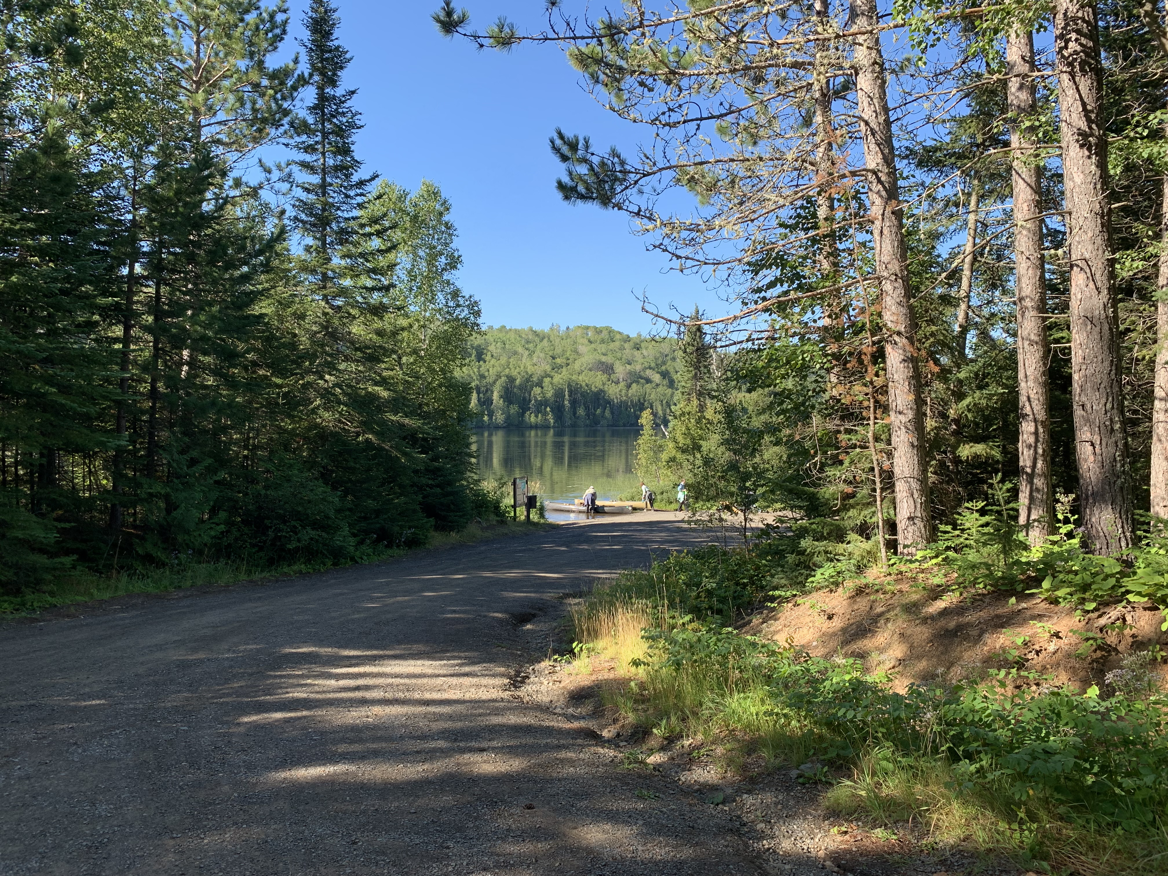
View down the road from the parking lot to East Bearskin Lake.
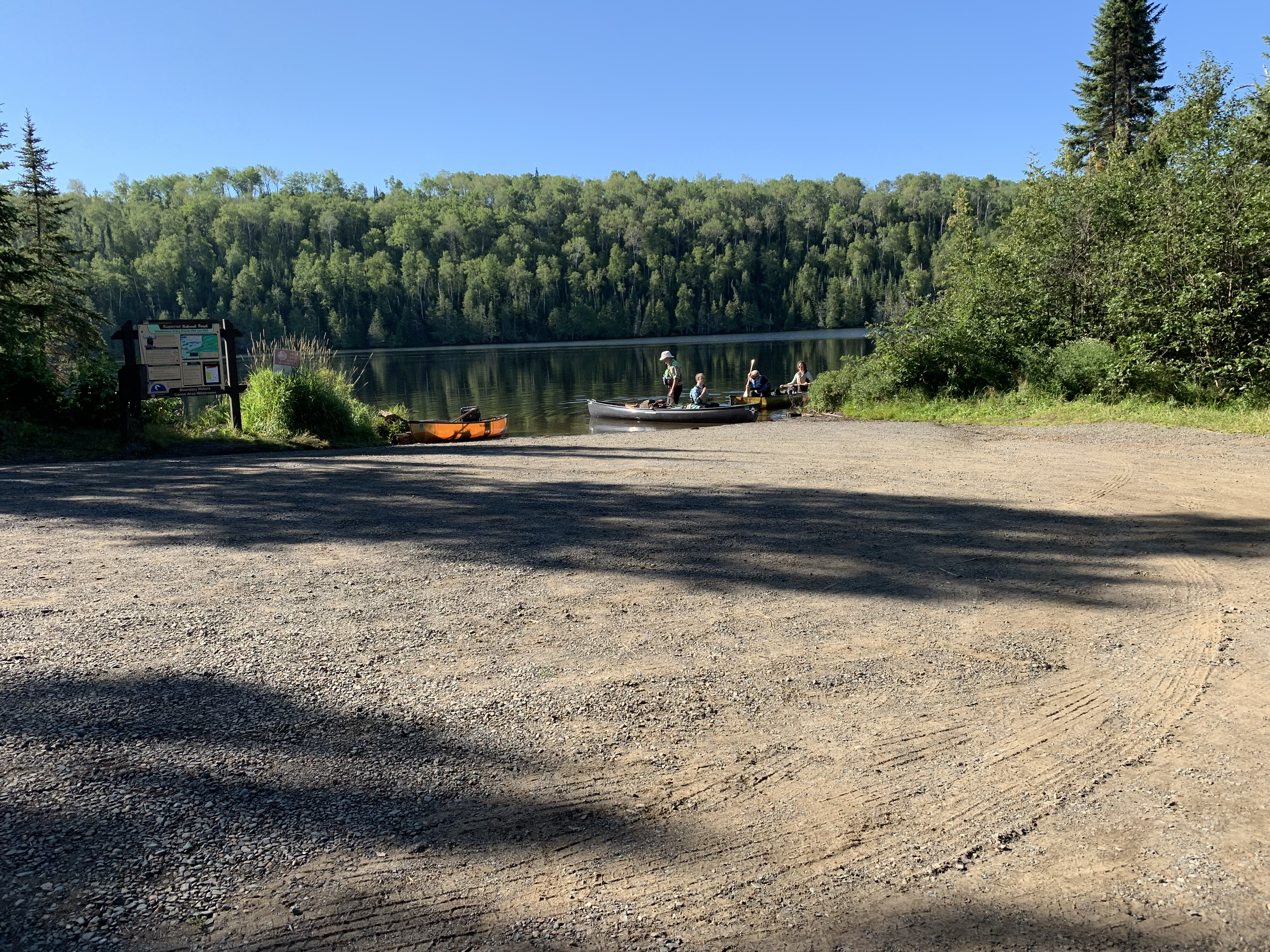
Unloading area down by the lake shore.
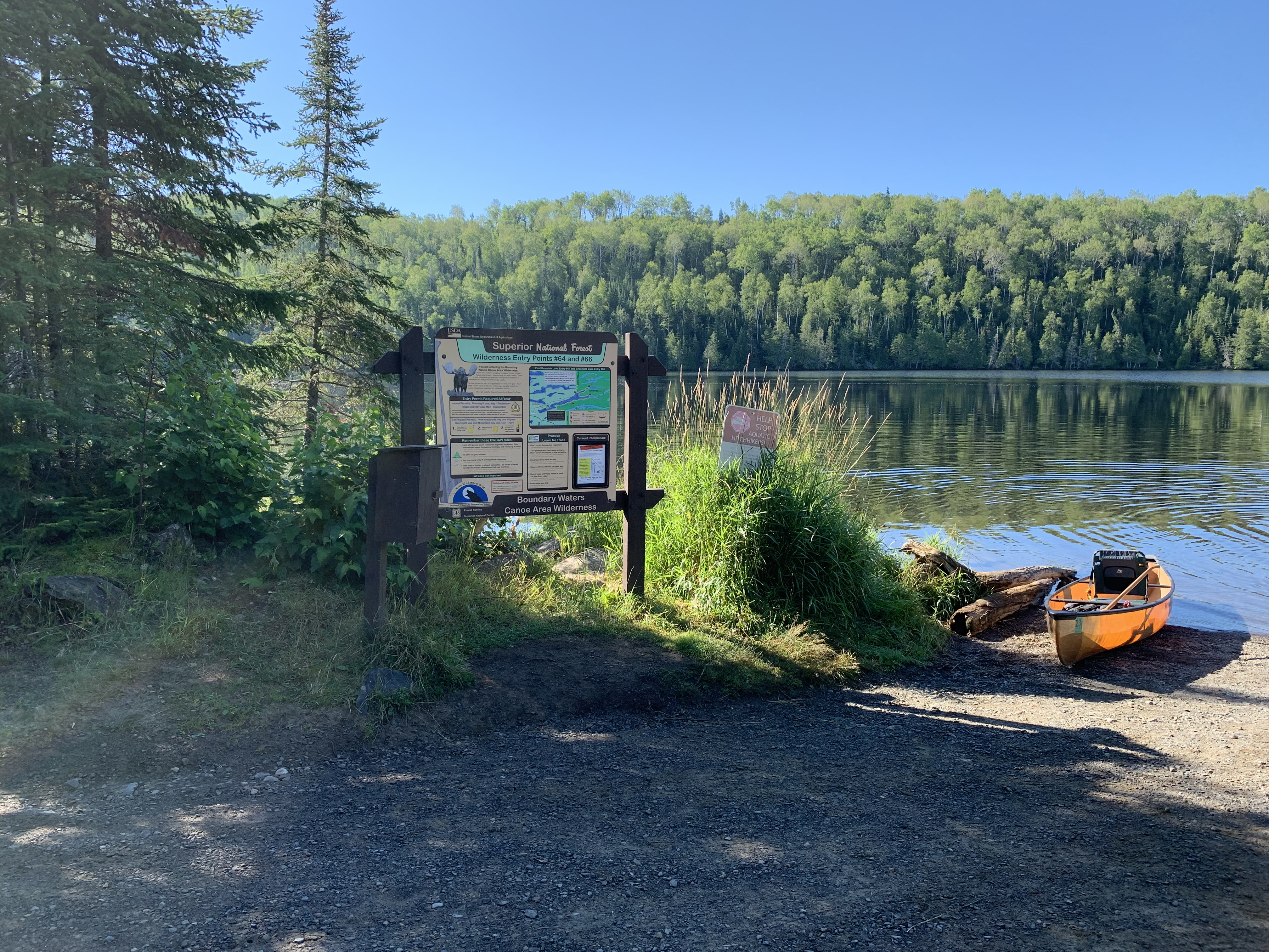
The usual signage found at BWCA entry points.
Note that this entry point hosts paddlers heading for BWCA Entry Point 64 or BWCA Entry Point 66. The box on the left holds the BWCA day trip permit forms if you are just here for the day.
Zooming in to the bulletin boards map display.
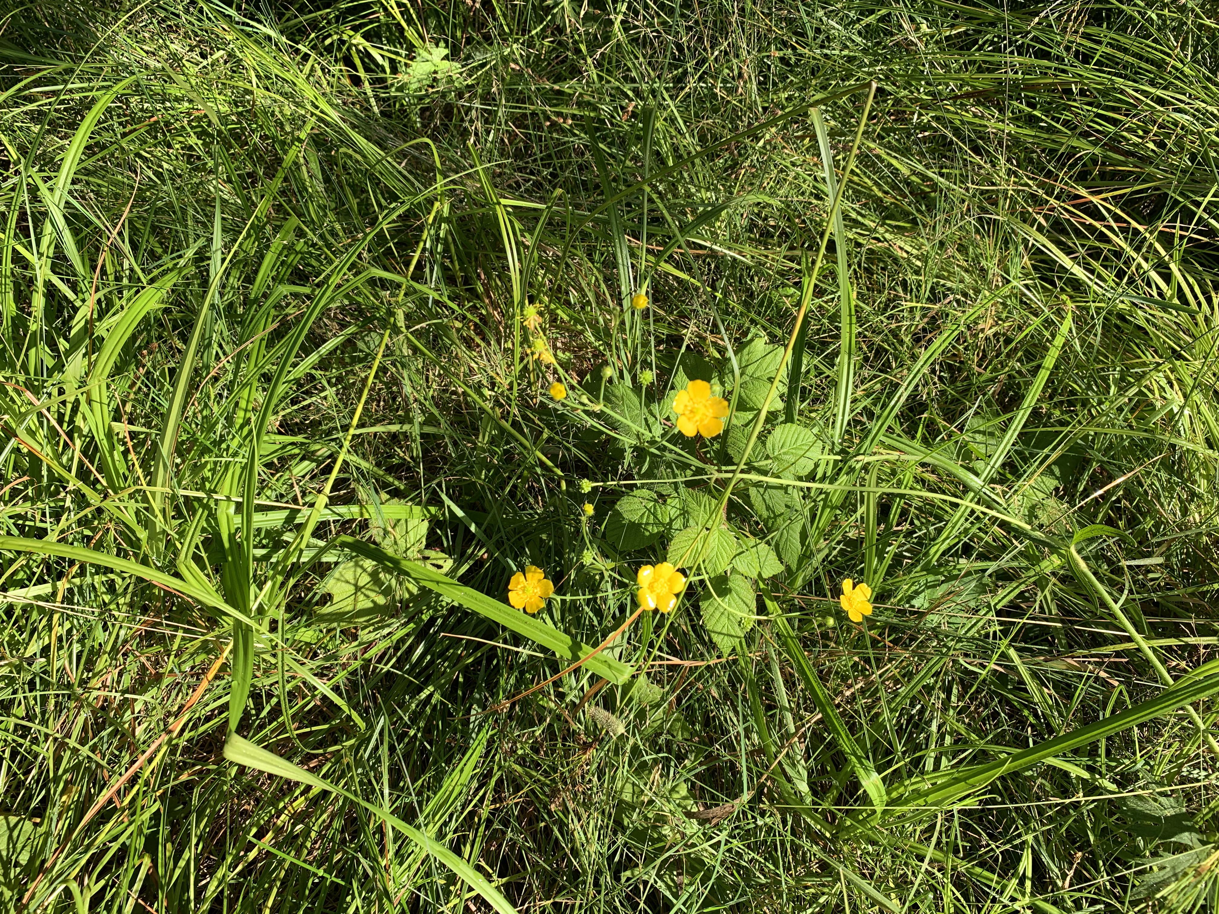
Buttercup plant in bloom near the boat landing.
It is about two miles of paddling from the entry point boat landing on East Bearskin Lake to the Crocodile Lake portage. Just follow the south shoreline to the east. The portage is located near the middle of the lake. BWCA Campsite 697 is just west of the portage. Don't mistake its landing for that of the portage. There is a stream flowing into East Bearskin Lake between the campsite and the portage. The portage is east of that stream, the campsite is west of it. This portage starts you off with a rather sharp hill climb that levels out after about 25 rods. The rest of the portage to Crocodile Lake is on a well groomed path.
Now that you've reached the shore of the lake, visit: CROCODILE RIVER or CROCODILE LAKE