ROUTES/PORTAGES FROM CROCODILE LAKE:
To Crocodile River: Walk the 20 rod portage
To East Bearskin Lake: Walk the 120 rod portage
To Trap Lake: Walk the unmaintained 75 rod portage (unknown if this portage still exists)
Crocodile Lake
Gunflint Ranger District
CROCODILE LAKE CAMPSITES: Campsite 1 (#711): Westernmost campsite on the lake. On the the south shoreline. Just across the lake from the East Bearskin Lake portage Campsite 2 (#712): Second campsite from the west end of the lake on the south shoreline Campsite 3 (#713): Second campsite from the east end of the lake on the north shoreline Campsite 4 (#714): Easternmost campsite on the lake along the north shoreline
The lake resembles the shape of a crocodile on a map, thus the name. The Crocodile River forms the tail of the beast.
There are no routes from Crocodile Lake. It is a destination lake, similar to Bog Lake. Crocodile River (BWCA Entry Point 66) is one of the least used entry points in the BWCA. The easiest way to get to this lake is by starting at East Bearskin Lake. BWCA Entry Point 66 shares the same parking lot as BWCA Entry Point 64. It is also possible to arrive at Crocodile Lake by starting at South Bean Lake off Shoe Lake Road, but that route is more difficult due to the many portages and extra paddling required. The portage from East Bearskin Lake to Crocodile Lake is not super difficult, but it is somewhat long. It climbs about 100 feet in the first 25 rods or so. After that, the portage is flat and uneventful. Also note that the portage along Shoe Lake Road can be difficult to find, if you are trying to reach Crocodile Lake from that direction.
The two most common reasons paddlers to come to Crocodile Lake are the good walleye fishing and the quietness of this lake. Some daytrippers make their way into this lake too.
Crocodile Lake drains into East Bearskin Lake through the Crocodile River. There is a pretty waterfall along this river that can be viewed from a trail starting at the back of BWCA Campsite 697 on East Bearskin Lake. That campsite is just west of the portage between Crocodile Lake and East Bearskin Lake. Crocodile Lake and the Crocodile River are part of the Royal River drainage. The Royal River flows into the Pigeon River.
Click on the photos below to see the full resolution image - Use your browsers back button to close photo and return to this page.
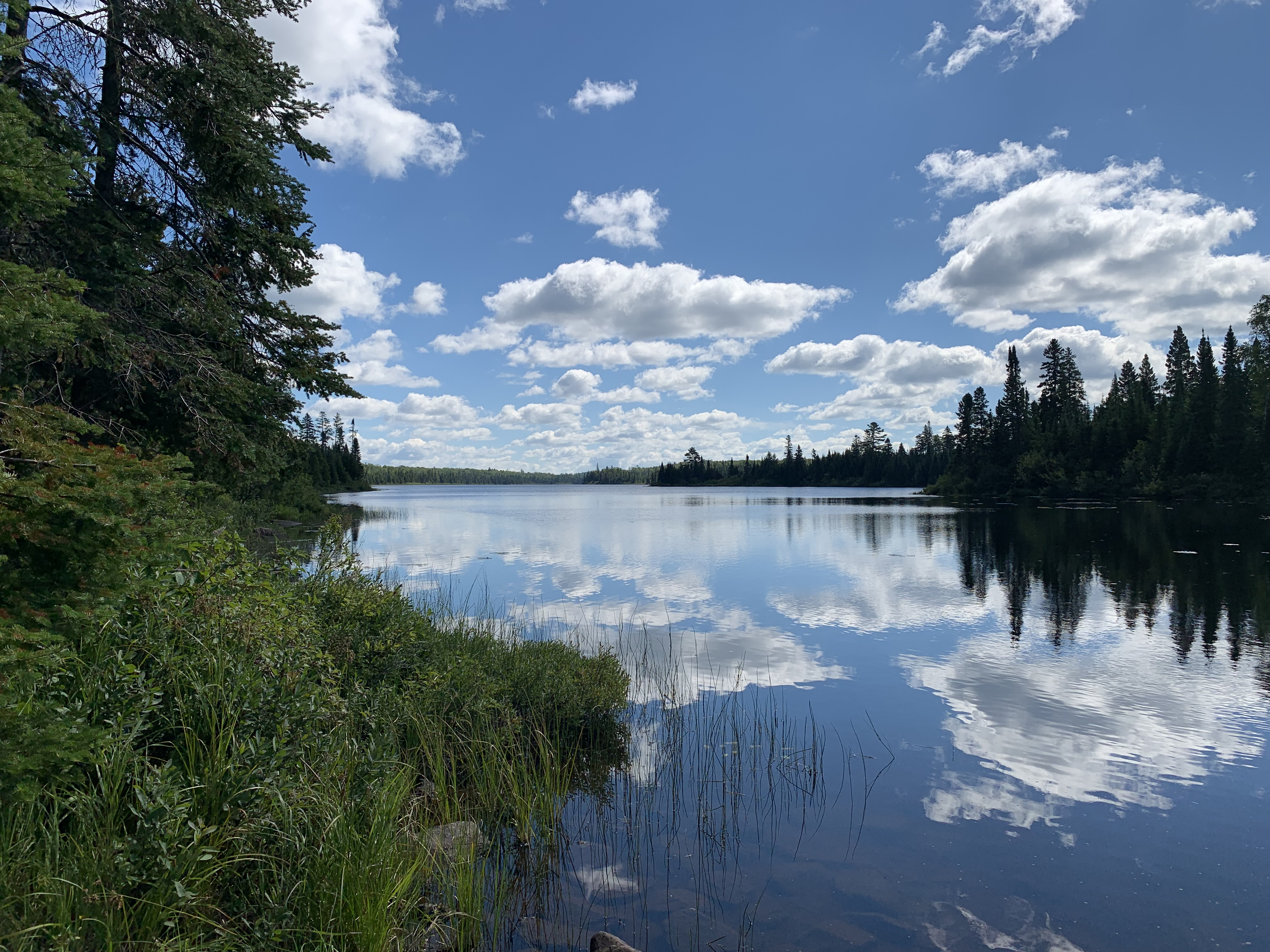
PADDLING FROM THE EAST BEARSKIN LAKE PORTAGE TO BWCA CAMPSITE 711
In this image you are looking east from the East Bearskin Lake portage.
A short paddle starting from the East Bearskin Lake portage, head south across the narrow lake and arrive at BWCA Campsite 711.
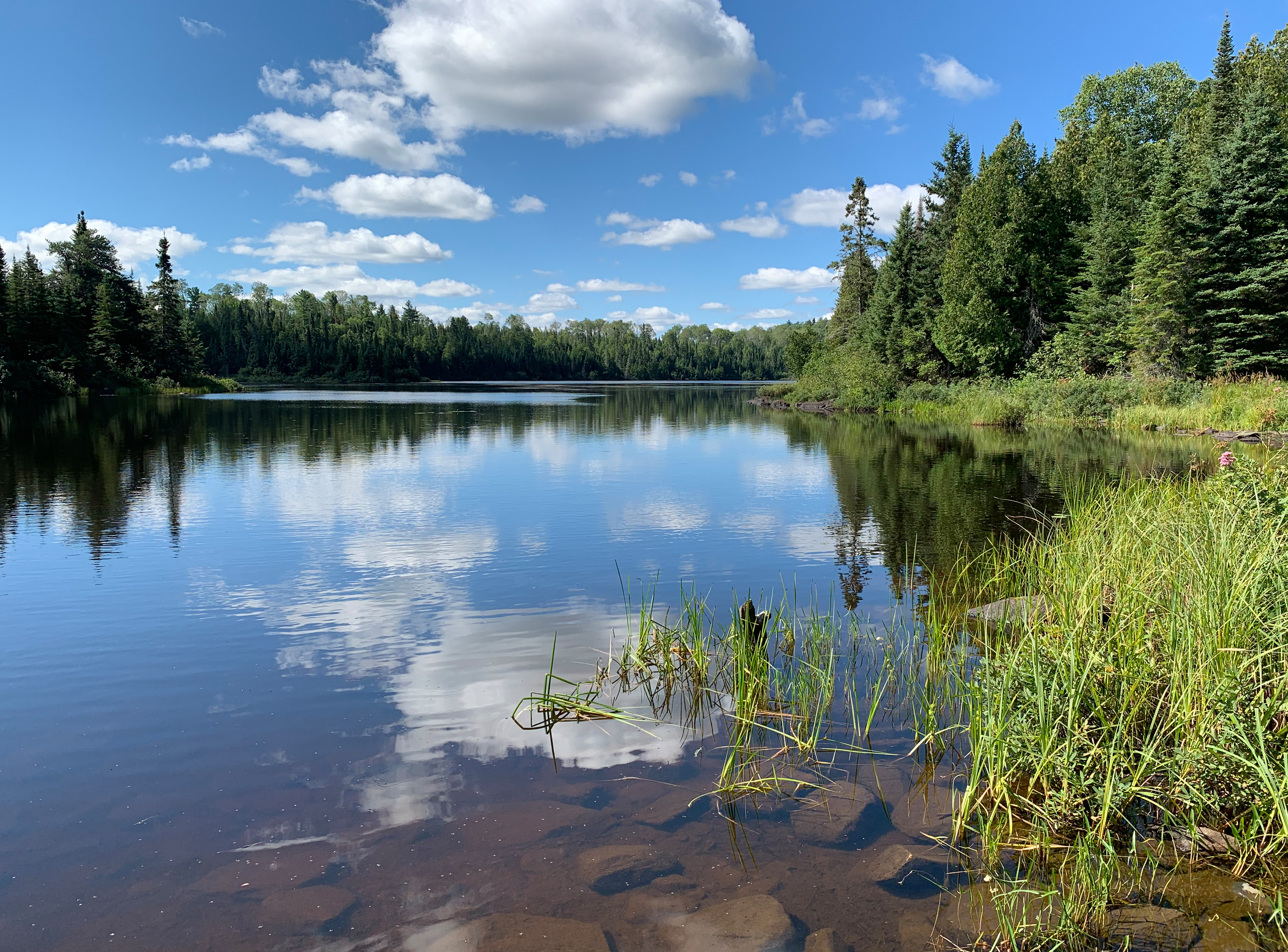
Looking west from the East Bearskin Lake portage. Visit BWCA Campsite 711 -or- Explore Another Route **********************************************END OF ROUTE***********************************************
PADDLING FROM BWCA CAMPSITE 711 TO BWCA CAMPSITE 712
Paddling eastward along the south shoreline of Crocodile Lake between the two campsites. Visit BWCA Campsite 712 -or- Explore Another Route **********************************************END OF ROUTE***********************************************
PADDLING FROM BWCA CAMPSITE 712 TO BWCA CAMPSITE 713
Paddling east down Crocodile Lake to the next campsite. The two eastern campsites on Crocodile Lake are near the far end of the lake. Both are located along the north shoreline and are fairly close to one another.
PADDLING FROM BWCA CAMPSITE 713 TO BWCA CAMPSITE 714
Brief paddle along the north shore of the lake heading eastbound to the next campsite. Visit BWCA Campsite 714 -or- Explore Another Route **********************************************END OF ROUTE***********************************************
PADDLING FROM BWCA CAMPSITE 714 TO THE CROCODILE RIVER PORTAGE
Head east after leaving the campsite. Paddle to the very eastern end of Crocodile Lake to find the portage. A short distance before reaching the portage, there is usually a large beaver dam blocking the waterway that you'll have to climb over. This part of Crocodile Lake has a wild and remote feel to it. Portage to the Crocodile River -or- Explore Another Route **********************************************END OF ROUTE***********************************************
PADDLING FROM THE CROCODILE RIVER PORTAGE TO THE EAST BEARSKIN LAKE PORTAGE
This voyage takes you along much of the length of Crocodile Lake heading east to west. It starts where the Crocodile River flows into the eastern end of Crocodile Lake and ends at the East Bearskin Lake portage landing. Portage to East Bearskin Lake -or- Explore Another Route **********************************************END OF ROUTE***********************************************
CIRCUMNAVIGATION OF THE WESTERN END OF CROCODILE LAKE, BEGINNING AND ENDING AT THE EAST BEARSKIN LAKE PORTAGE
This video shows the western end of Crocodile Lake. The video begins at the East Bearskin Lake portage. The trip does a counterclockwise circumnavigation of the west end of the lake. Spend a little time along the south shoreline looking for the old 73 rod portage to Trap Lake. After completing the circuit, return to the East Bearskin Lake portage starting point. Portage to East Bearskin Lake -or- Explore Another Route **********************************************END OF ROUTE***********************************************
Route Connections for Crocodile Lake
From Crocodile Lake you can portage to East Bearskin Lake or the Crocodile River. There used to be a portage to Trap Lake, but haven't been able to confirm if it's still in existence.