Portage between Brule Lake and the Temperance River and surrounding area
Length in Rods: 10 rods
Date portage was last visited: August 12, 2023; Previous Visit(s): May 27, 2016
Portage Rating: Average
The Portage between Brule Lake and the Temperance River
Click on the photos below to see the full resolution image - Use your browsers back button to close photo and return to this page.
Portaging Direction: From Brule Lake to Temperance River/South Temperance Lake
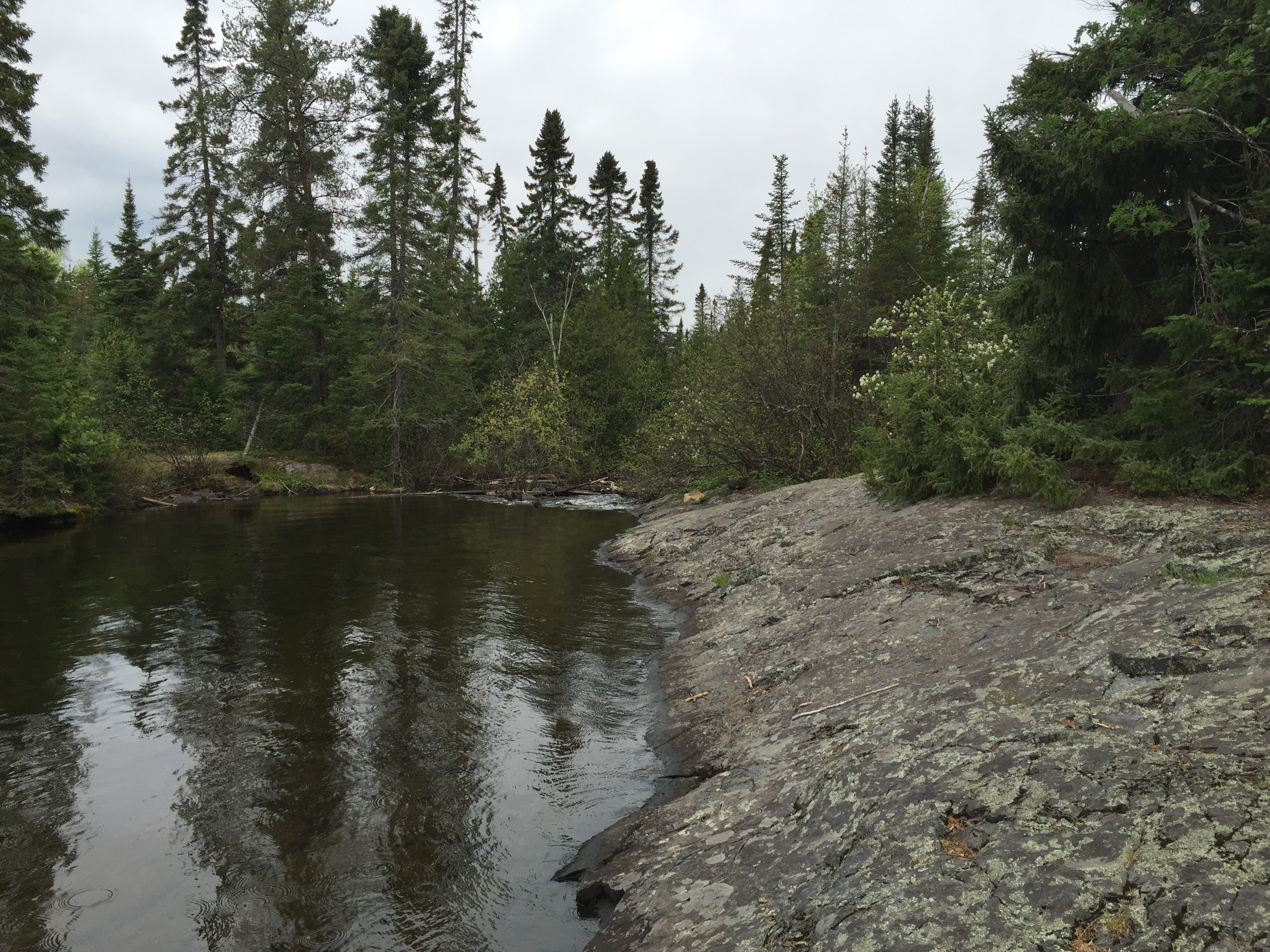
This is the start of the Temperance River. Same river you see flow into Lake Superior in Temperance River State Park. The landing is just a matter of stepping out onto this slab of billion year old rock. The current is noticeable here, but not overwhelming to the point of making it difficult to safely land or launch your boat (May 27, 2016).
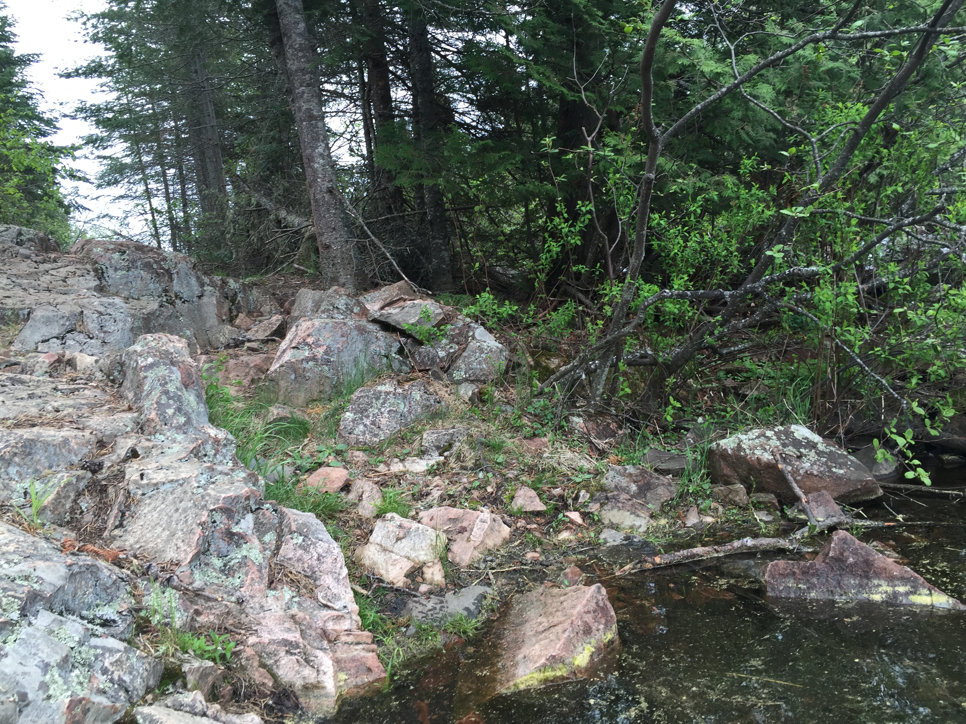
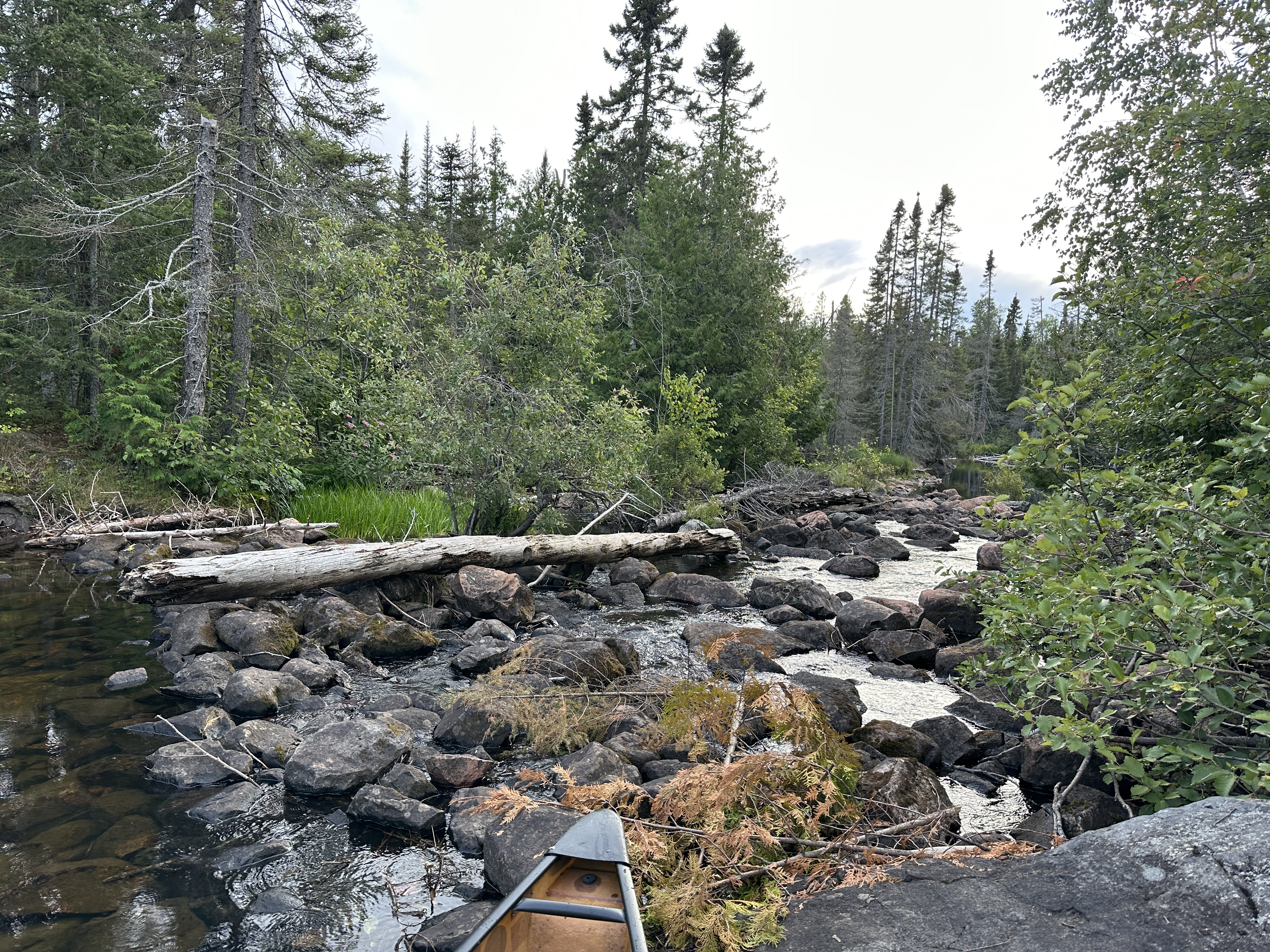
From the rock slab, walk south down the portage until just below the rapids. The rapids are on your left. The portage is a bit rocky, but otherwise quite easy. Entire length of portage is 10 rods mostly downhill (May 27, 2016).
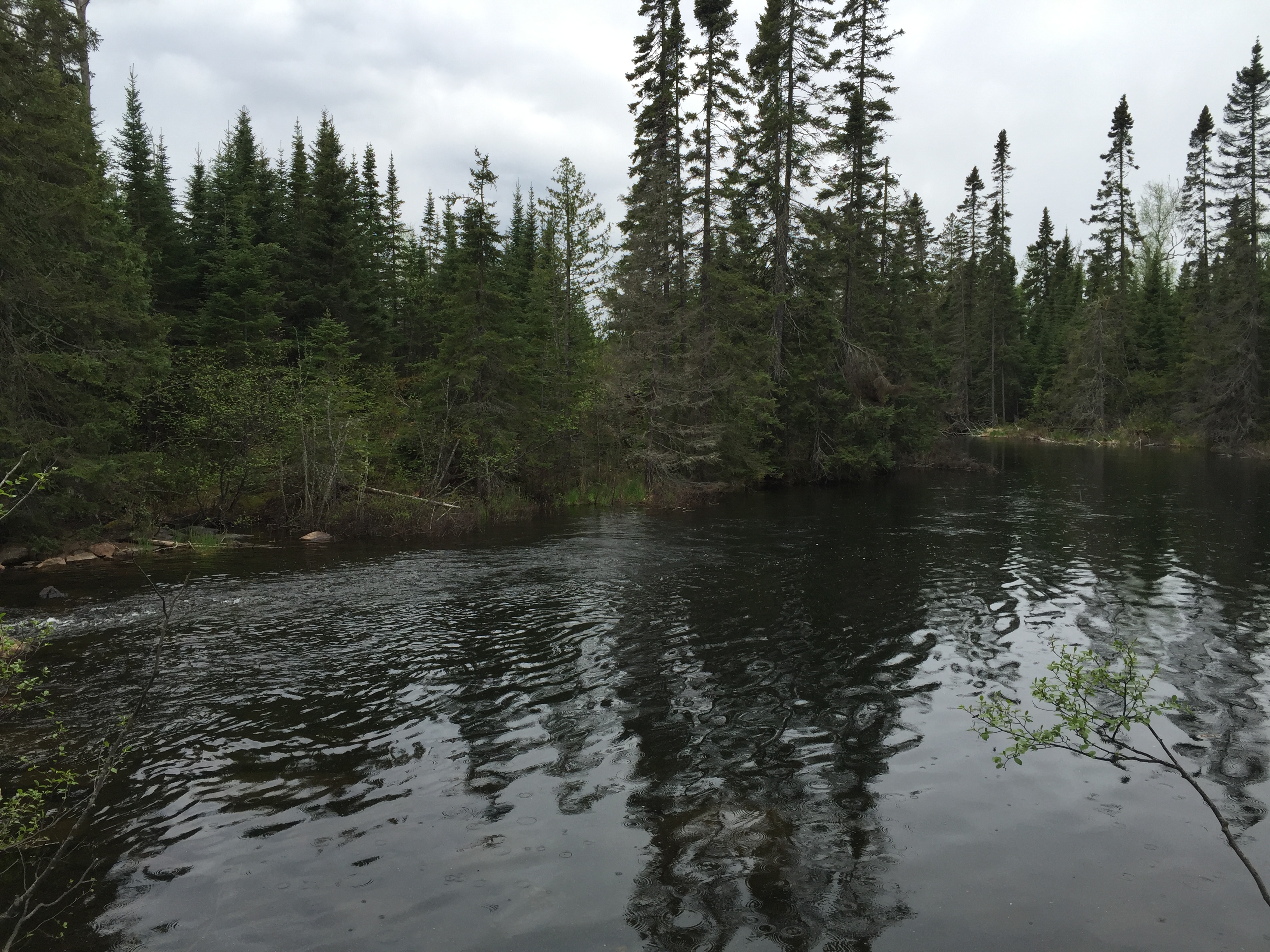
This is a view of the portage in summertime (August 12, 2023).
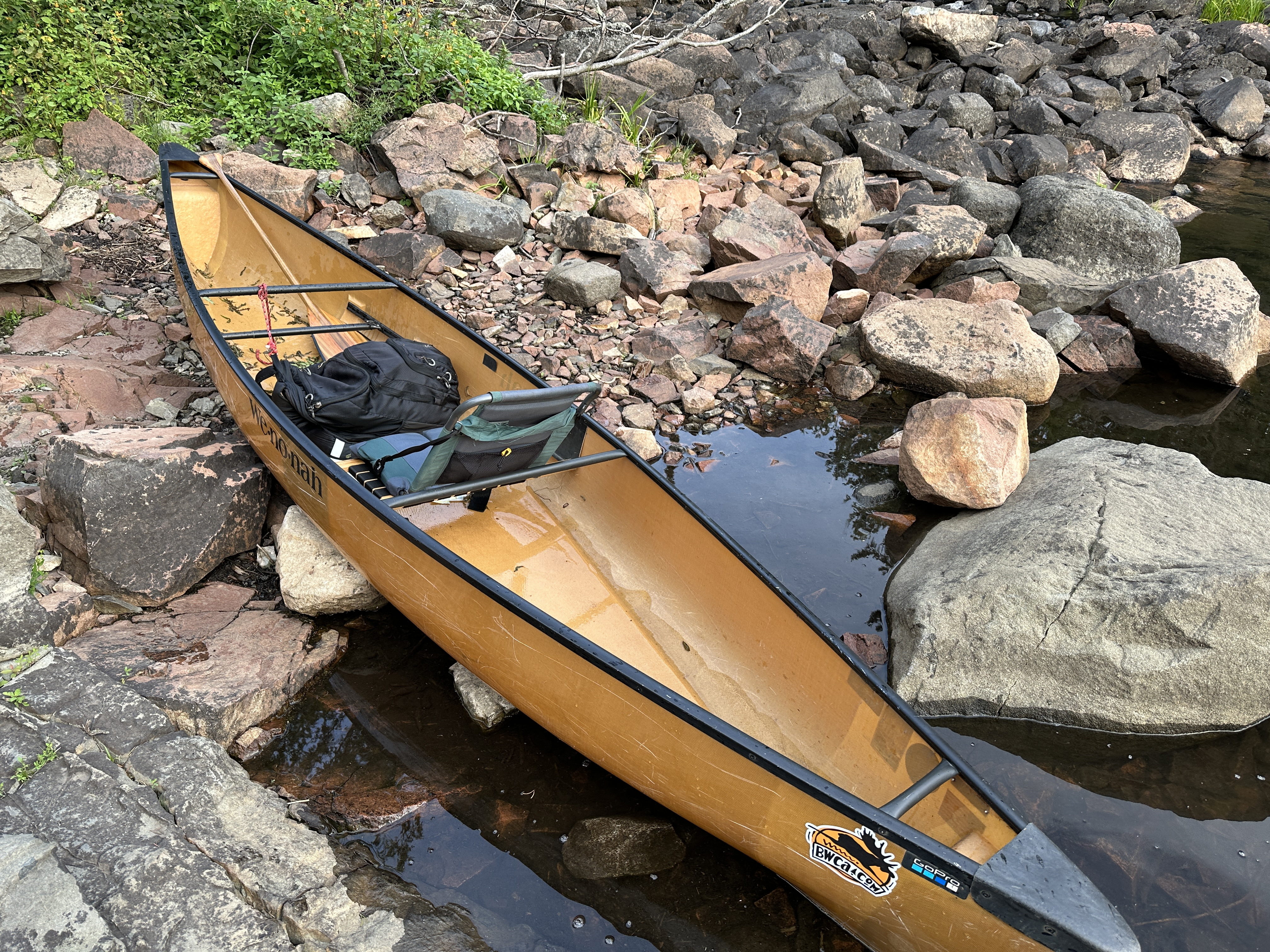
The landing is made up of small rocks, but is not otherwise difficult (August 12, 2023).
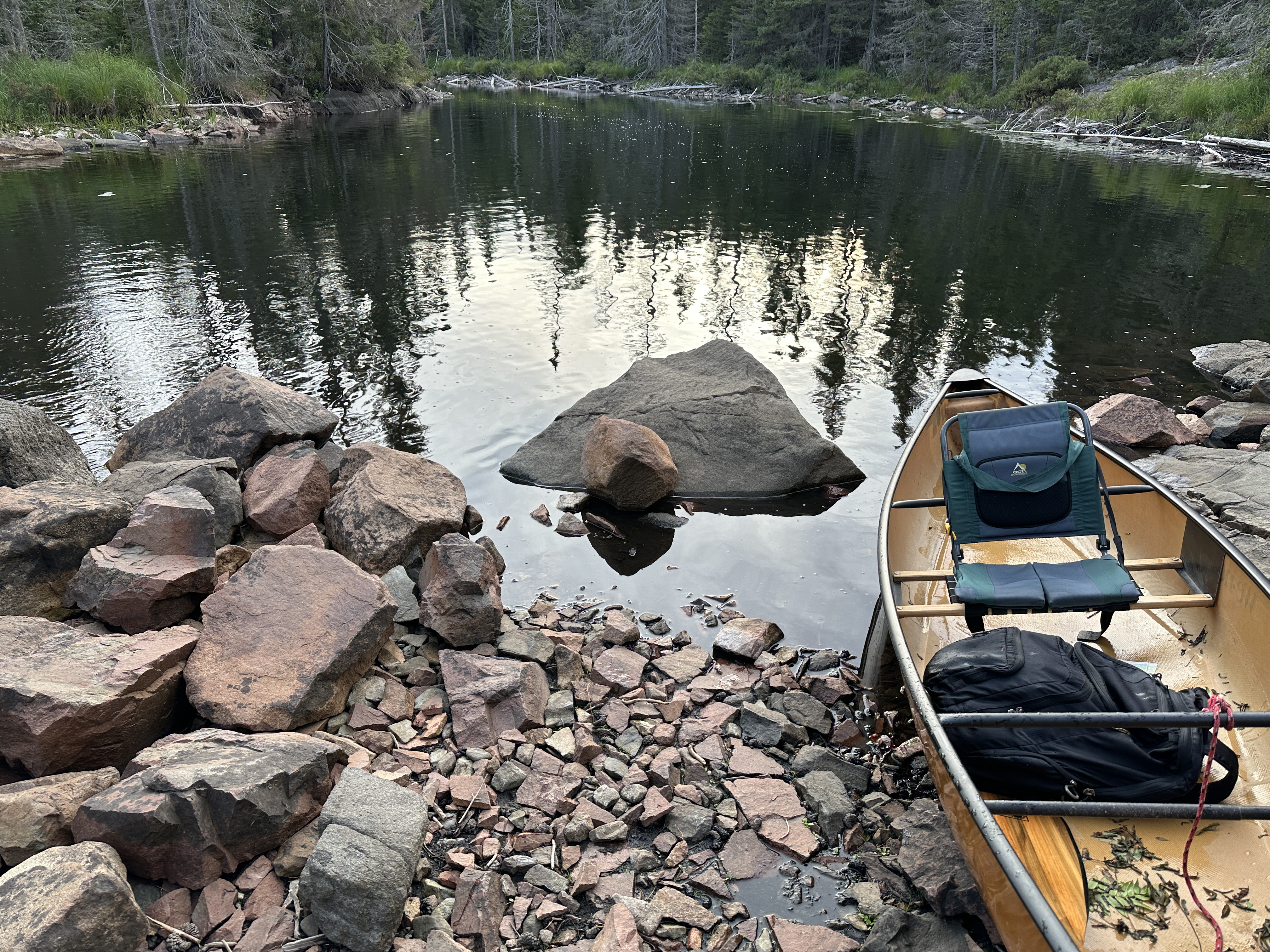
The Temperance River from the end of the short 10 rod portage. To your left you can see the tail end of the rapids. From here it is a short paddle downstream to South Temperance Lake. (May 27, 2016)
Now that you've made it over the portage, visit:TEMPERANCE RIVER
Portaging Direction: From Temperance River/South Temperance Lake to Brule Lake
This landing looks rugged, but the water is shallow and the bottom of the river is made up of pebbles and gravel. It will be easy to steady yourself while entering your canoe here. This is the landing during relatively high water levels in spring (May 27, 2016).
The landing looks like this by mid-summer in years with close to normal rainfall (August 12, 2023).
This is how the portage looks in the springtime. Portage takes less than one minute to walk. From here, you proceed uphill until you reach the rock slab above the rapids. This is a noteworthy spot as it is the beginning of the Temperance River. The portage a bit rocky in spots, so careful with the footing (May 27, 2016).
This is the portage as it looks in mid-summer (August 12, 2023).
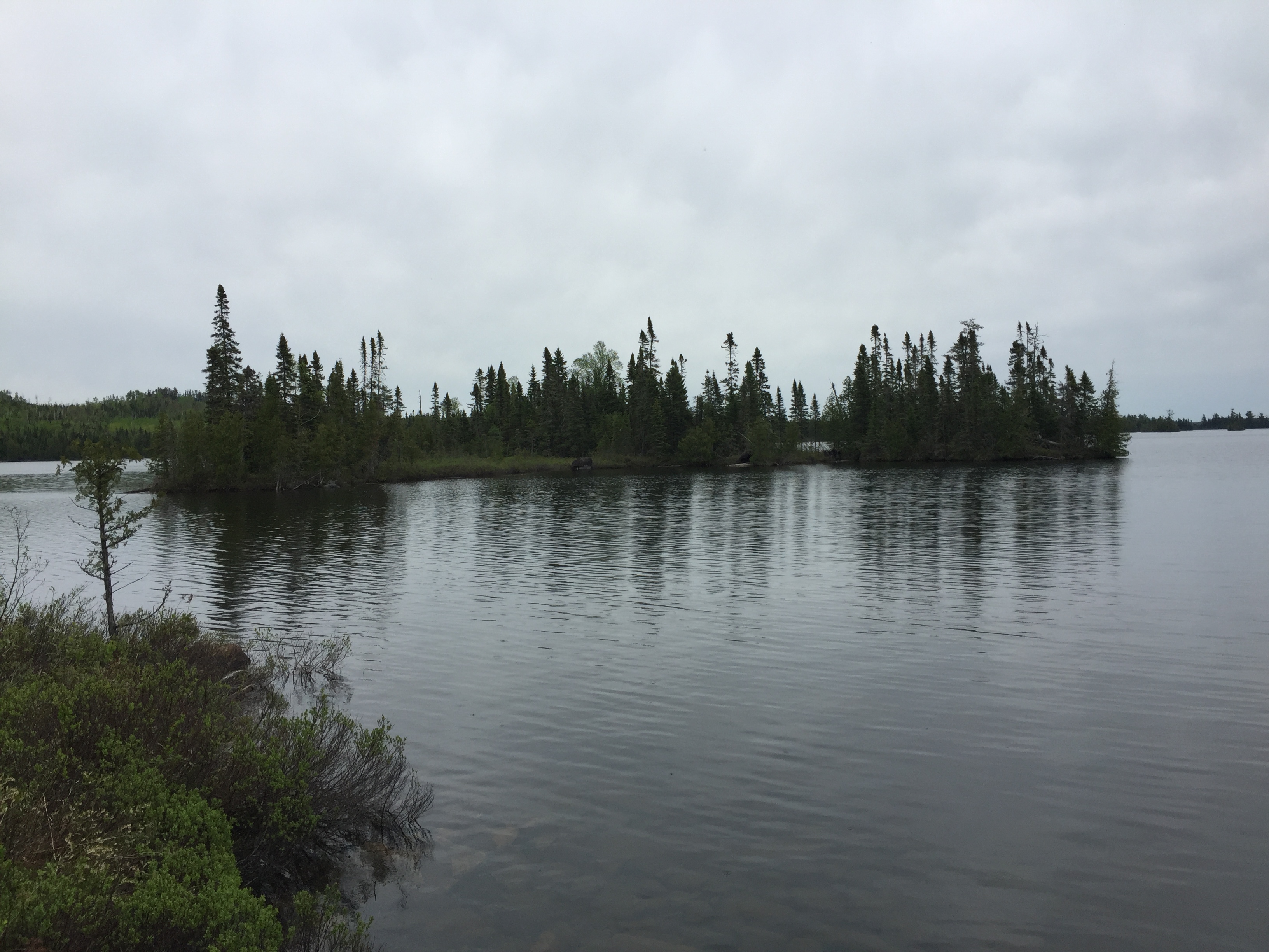
A small island just offshore, marks the location of the start of the Temperance River if you are coming across Brule Lake. You launch your canoe from a sloped rock shelf on this side of the portage (May 27, 2016).
This is a photo of the Temperance River which has it's source right next to this portage where it flows out of Brule Lake (August 12, 2023).
Now that you've made it over the portage, visit:BRULE LAKE