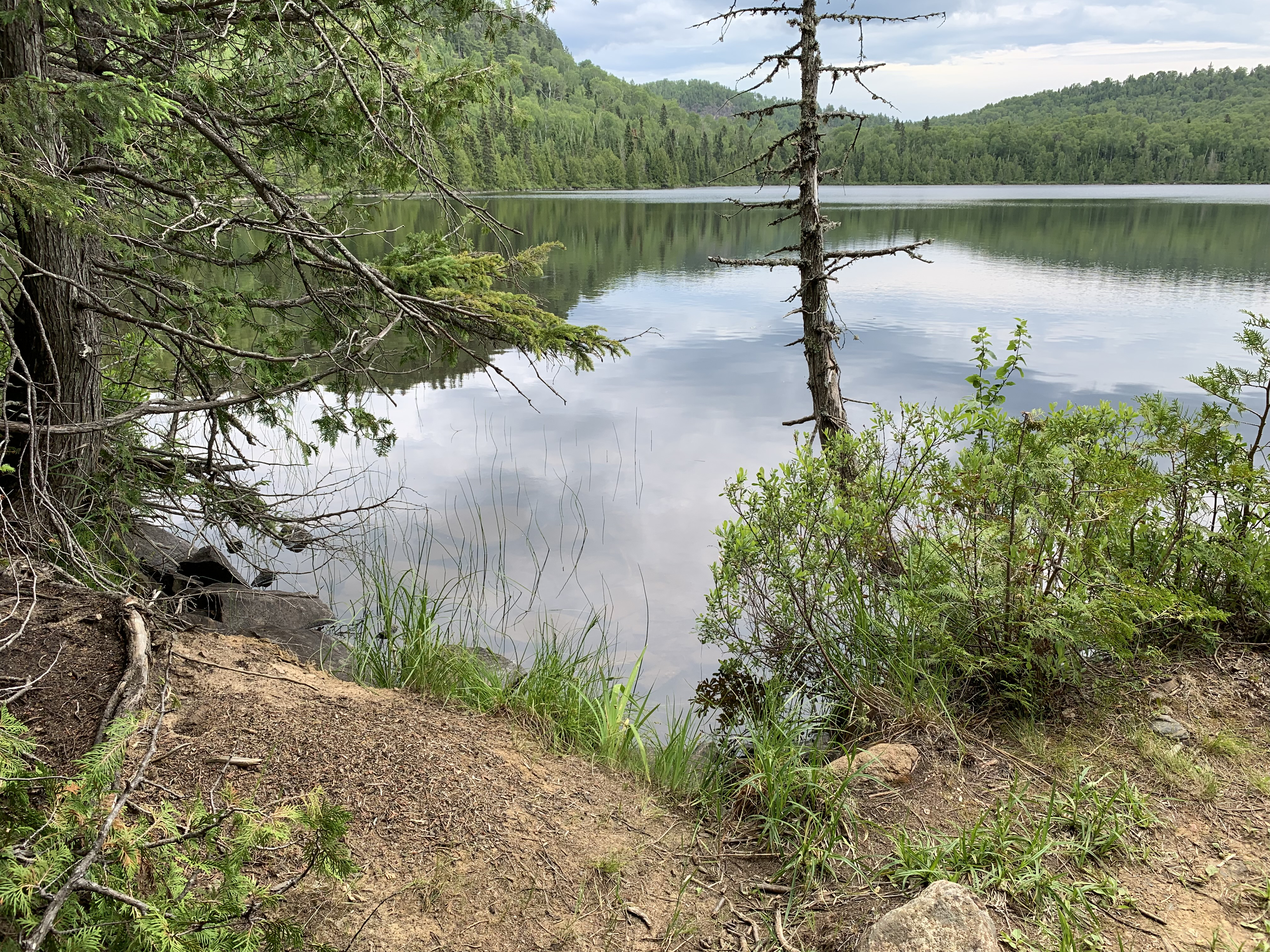
Portage between Little Trout Lake and Misquah Lake and surrounding area
Length in Rods: 230 rods
Date portage was last visited: June 26, 2021
Portage Rating: Rugged
The Portage between Little Trout Lake and Misquah Lake
Click on the photos below to see the full resolution image - Use your browsers back button to close photo and return to this page.
Portaging Direction: From Little Trout Lake to Misquah Lake
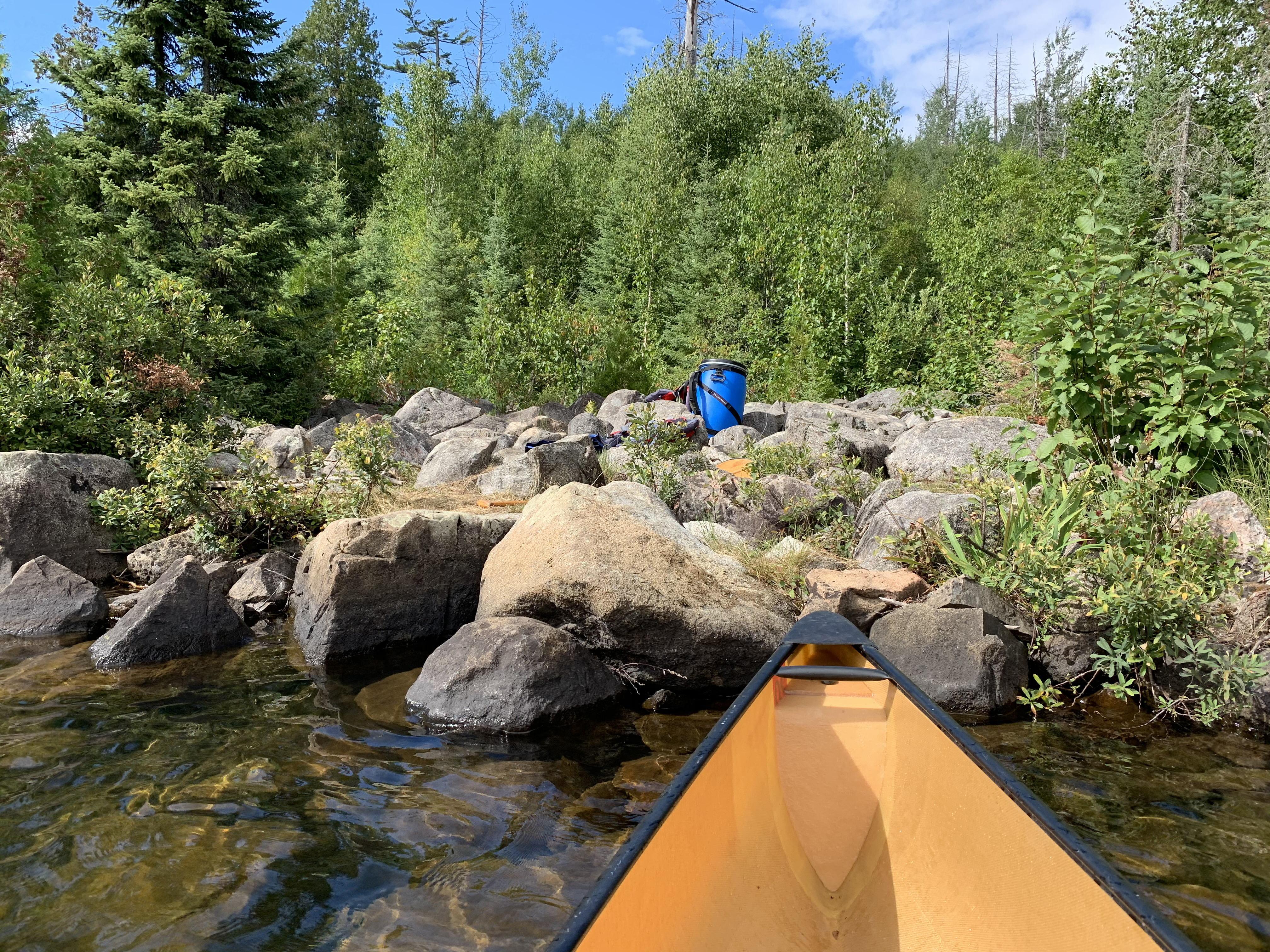
Start of the portage as viewed from Little Trout Lake. Not a fun landing here, but the Misquah Lake side is even a bit worse.
Head up the hill from Little Trout Lake. Initially you pass through an area that was subjected to a prescribed burn in 2016. The trail is rocky along much of its length. The path passes over the western flanks of Gaskin Mountain, so that is responsible for much of the elevation change you'll be encountering. You will encounter a few pockets of mud along the way. This trail never really gives you a break. It's always throwing something at you. Combine all that with its length of about 2/3rds of a mile and you have one of the more challenging portages you will ever come across in the Boundary Waters.
Start of the portage as viewed from Little Trout Lake. Not a fun landing here, but the Misquah Lake side is even a bit worse.
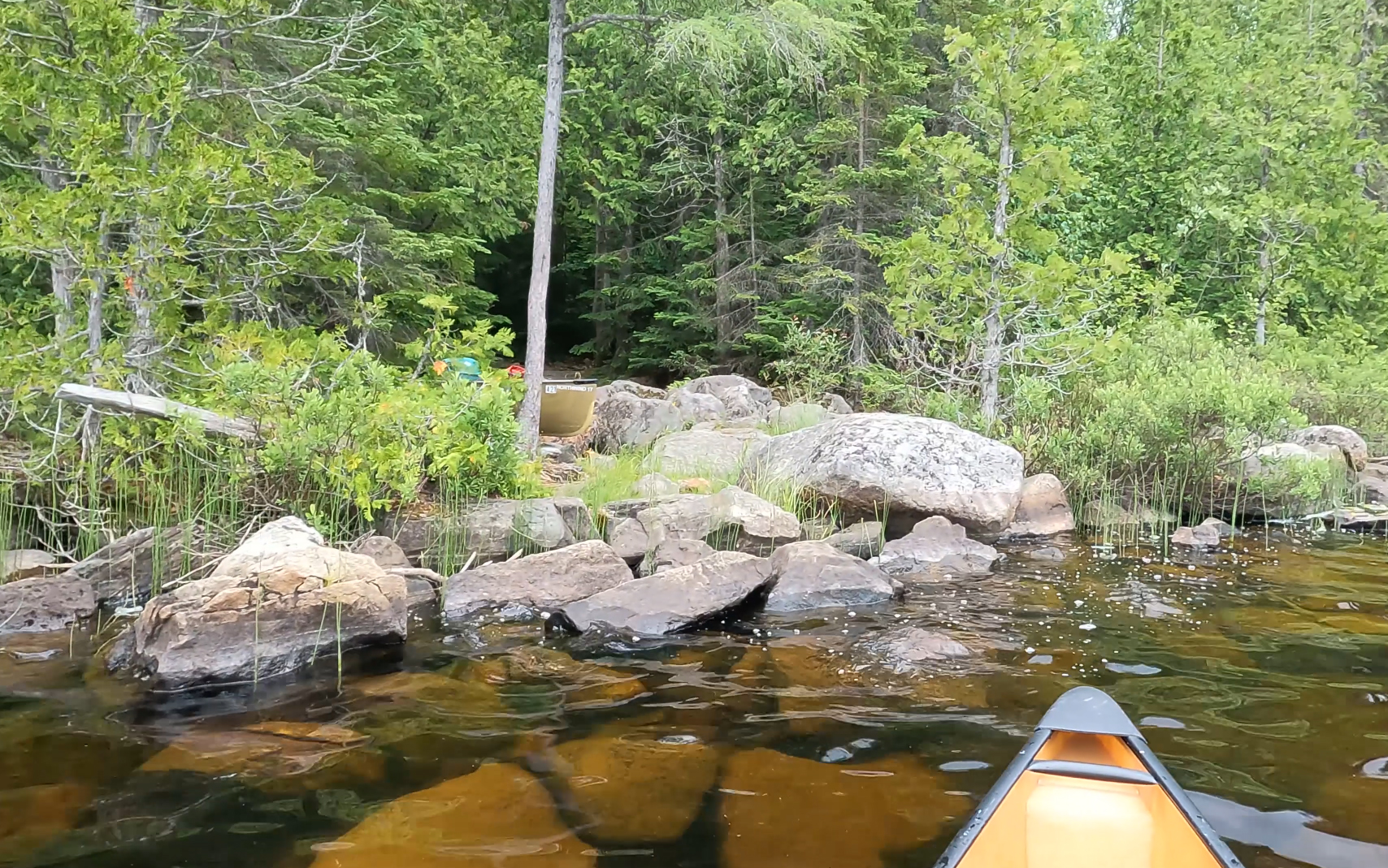
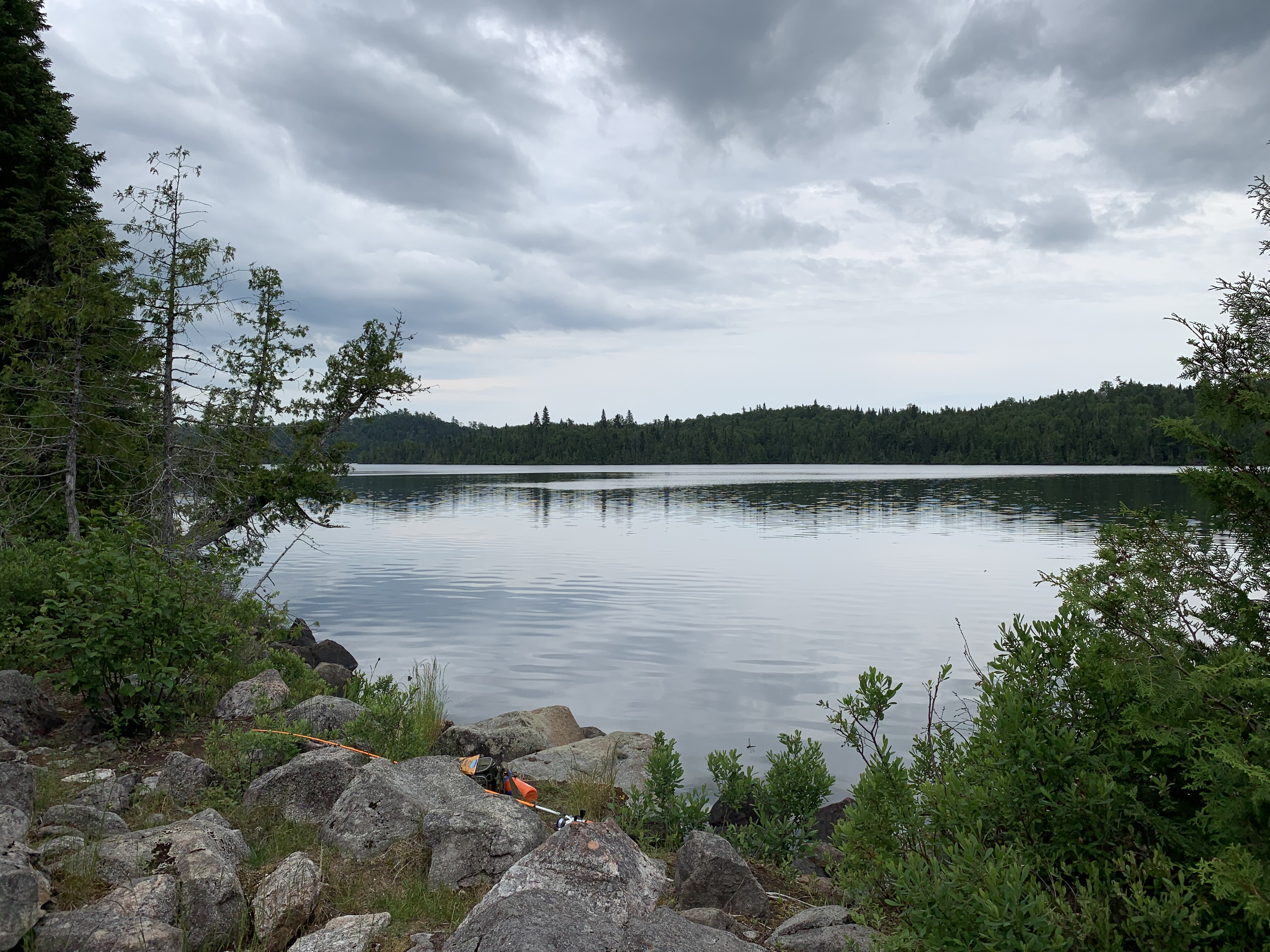
Now that you've made it over the portage, visit:MISQUAH LAKE
Portaging Direction: From Misquah Lake to Little Trout Lake
Start of the portage as viewed from Little Trout Lake. Not a fun landing here, but the Misquah Lake side is even a bit worse.
Both ends of this portage have bad landings composed of large boulders set into deep water. The Misquah Lake landing is particularly poor. The rest of the portage is a workout too. From Misquah Lake (which is at about 1,890 feet above sea level), you portage over what is basically the western sub-peak of Gaskin Mountain, skirting it on its west slope. Where the portage trail goes over this hill/mountain, the elevation is around 2,020 feet or so (gain of 130 feet roughly since leaving Misquah Lake). From this highest point along the portage, you'll descend down to Little Trout Lake which is at about 1,910 feet about sea level. You are in the heart of the Misquah Hills which make up the highest elevation area in the State of Minnesota. The trail is otherwise very rocky (several boulder fields). There is some mud, but some of the worst mudholes have been mitigated recently by some fairly new boardwalks. Besides the general climb up the side of the mountain, the trail is not exactly otherwise flat. There are plenty of ups and downs to keep you from catching you breath. Some parts of the portage are also somewhat brushy. The last part of this portage before reaching Little Trout Lake was subjected to a prescribed burn in 2016, which explains the lack of trees you'll see here. This portage is a tough one!
This landing is troublesome because of the large boulders. No good places to launch canoe. You have to lift everything up from the water onto the rocks. The lake isn't as deep here along the shoreline as you'll find at the Misquah Lake end of this portage.