Have not yet visited this Primitive Management Area lake. The information displayed on this page are notes used for planning a future trip to this area. Use the information on this page at your own risk.
A fairly large, shallow body of water, White Feather Lake is easily accessible from the Stuart River through a short creek during high water. However, it is much more difficult to access this lake if the water levels are low. During low water you would have to circumnavigate the bog between White Feather Lake and the Stuart River. The bog is virtually impassable during low water as the mud was deep and soft enough to embed my entire paddle. There was not enough water to float a nearly empty solo canoe. Was unable to reach the lake, so only have distant photos and video of the lake. Also have video of the first part of the bushwhack, showing the muddy quagmire you can expect to encounter if there isn't enough water. Best time to considering a visit to this lake would be springtime.
This was the area of the White Feather Fire which occurred in 1996. This fire charred about 4,750 acres and was started by a lightning strike on the east side of the Stuart River. Evidence of this fire can still be seen in the area and is particularly evident along the ridgeline up behind White Feather Lake. This ridge is visible when paddling along the Stuart River (Beymer, 2006).
The known fires in this region were the 1894 fires (possibly two of them) that are known as the Oriniack/Sioux River/Lac La Croix/Crooked Lake Complex and the Chad/Cummings/Lac La Croix/Crooked Lake Complex. In 1875 the Mule Creek/Sterling Lake/Sunday Lake/Crooked Lake Complex burned much of the area. Eleven years prior to that, in 1864, the Little Indian Sioux River/Lac La Croix/Crooked Lake Complex burned through this area. The oldest fire known to affect the area occurred in 1822 and is referred to as the Hook Lake/Hegman Lake/Crooked Lake Complex (Heinselman, 1999).
References:
Beymer, Robert, Boundary Waters Canoe Area – Volume 1 – Western Region (Berkeley: Wilderness Press, 2006), 111, 122.
Click on the photos below to see the full resolution image - Use your browsers back button to close photo and return to this page.
Paddling the final 1/3rd mile (roughly) downstream along the Stuart River, until you reach the easy to miss mouth of the small channel flowing out of White Feather Lake.
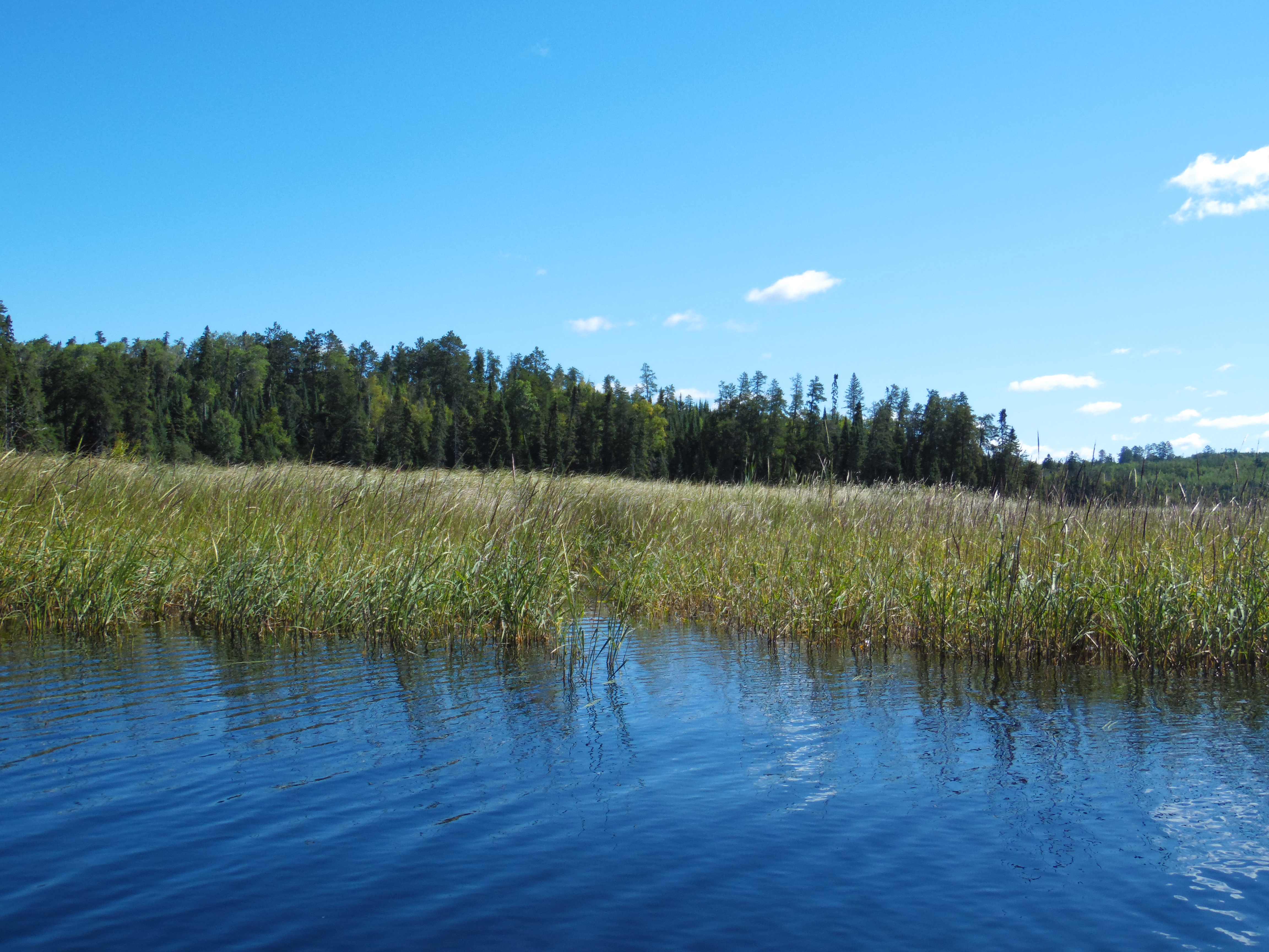
The mouth of the tiny creek (middle of photo) as viewed from the Stuart River, where it flows out of White Feather Lake through this marsh.
Bushwhack to White Feather Lake
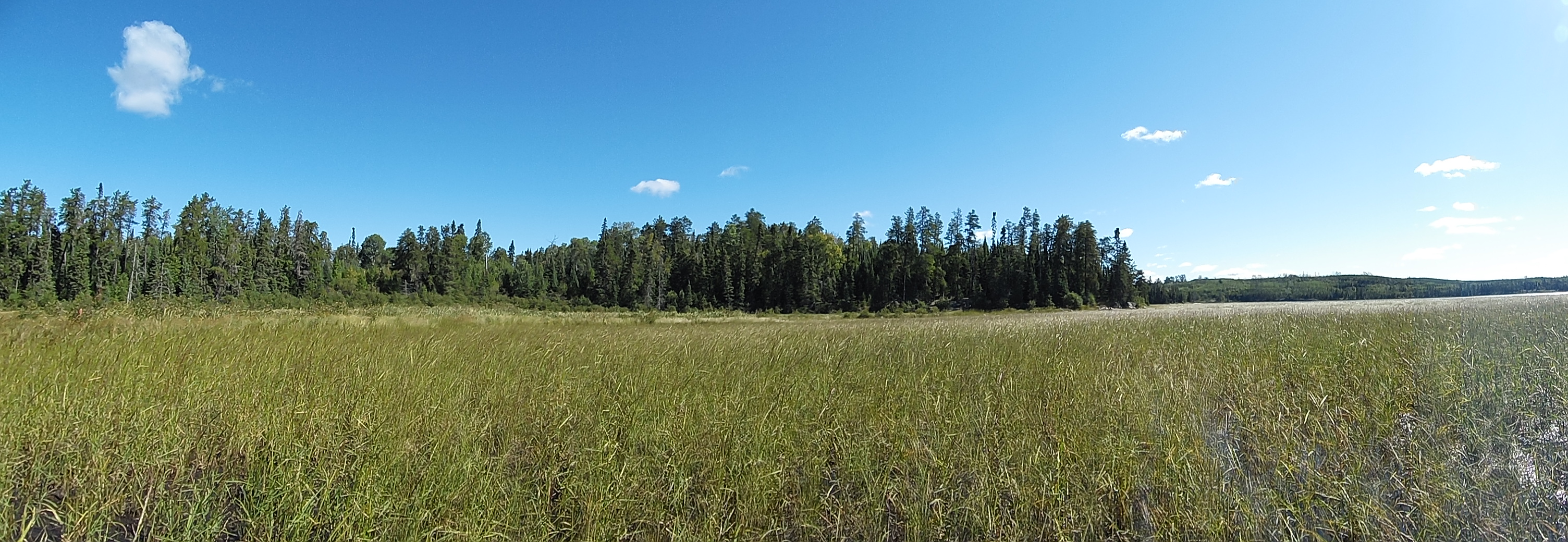
In low water, like you see here, this marsh is very difficult to get through, even in an empty canoe. To get into White Feather Lake during low water, you would probably be best served by bushwhacking along that tree line starting at the left, and follow it all the way to the point which is just right of center in the photo. Note that the left side of the photo is not where the trees/bushwhack begins, it is actually a good ways out past the left side of your view here. Thus it is a much farther distance to bushwhack than this image makes it appear. The easy way into White Feather Lake is to go in the spring (or during high water). During those times, this marsh should be floatable all the way to the open water on the lake. In the middle of the photo, in the copse of trees, is the location of a formerly maintained campsite. It is no longer maintained by the U.S. Forest Services because this is now a designated Primitive Management Area (PMA).
A failed bushwhack across the marsh. The small creek connecting the Stuart River and White Feather Lake quickly disappears and you are left with a few inches of water that covers a bottom covered in mud that is of a depth longer than your paddle. Forget about trying to walk in it.
Exploring White Feather Lake
Low water in late summer prevented a successful transverse of the bog between the Stuart River and White Feather Lake.