CARIBOU LAKE CAMPSITES: Campsite 1 (#645): Directly across bay from the Lizz Lake portage Campsite 2 (#644): First campsite west of the Lizz Lake portage Campsite 3 (#642): Southwest corner of the lake Campsite 4 (#671): Far eastern end of the lake east of Horseshoe Lake portage
Campsite 5 (#640): Just east of the Meeds Lake portage
Campsite 6 (#641): On the point jutting out from the west shore of the lake
Campsite 7 (#646): Straight north of the Horseshoe Lake portage
Campsite 8 (#643): Second campsite west of the Lizz Lake portage
Caribou Lake is often busy in the summer months, so if you are planning to say on this lake, grab a campsite early. The lake is probably congested with canoeists because it has four portage route connections. The portage from Swamp Lake is an alternative to the BWCA Entry Point 47 route through Lizz Lake. Caribou Lake may be named for the woodland caribou that once lived in the area. This species of deer was extirpated sometime in the 1940's from this area.
The route to Meeds Lake is relatively difficult. It consists of two short portages separated by a stream. The first portage has a path of large boulders situated in a creek bed. So during high water, traversing this portage can involve hopping from boulder to boulder with water running beneath. After this first portage, take a short paddle along a creek. During low water, the creek can get pretty narrow and filled in with vegetation, but you should be able to paddle through. The second portage after the creek to Meeds Lake is also fairly rugged, but not as bad as the first. A road used to cut across this second portage near the mid-point and remnants of it are still visible today. The canoe landings on these portages are tough too, consisting of piles of boulders.
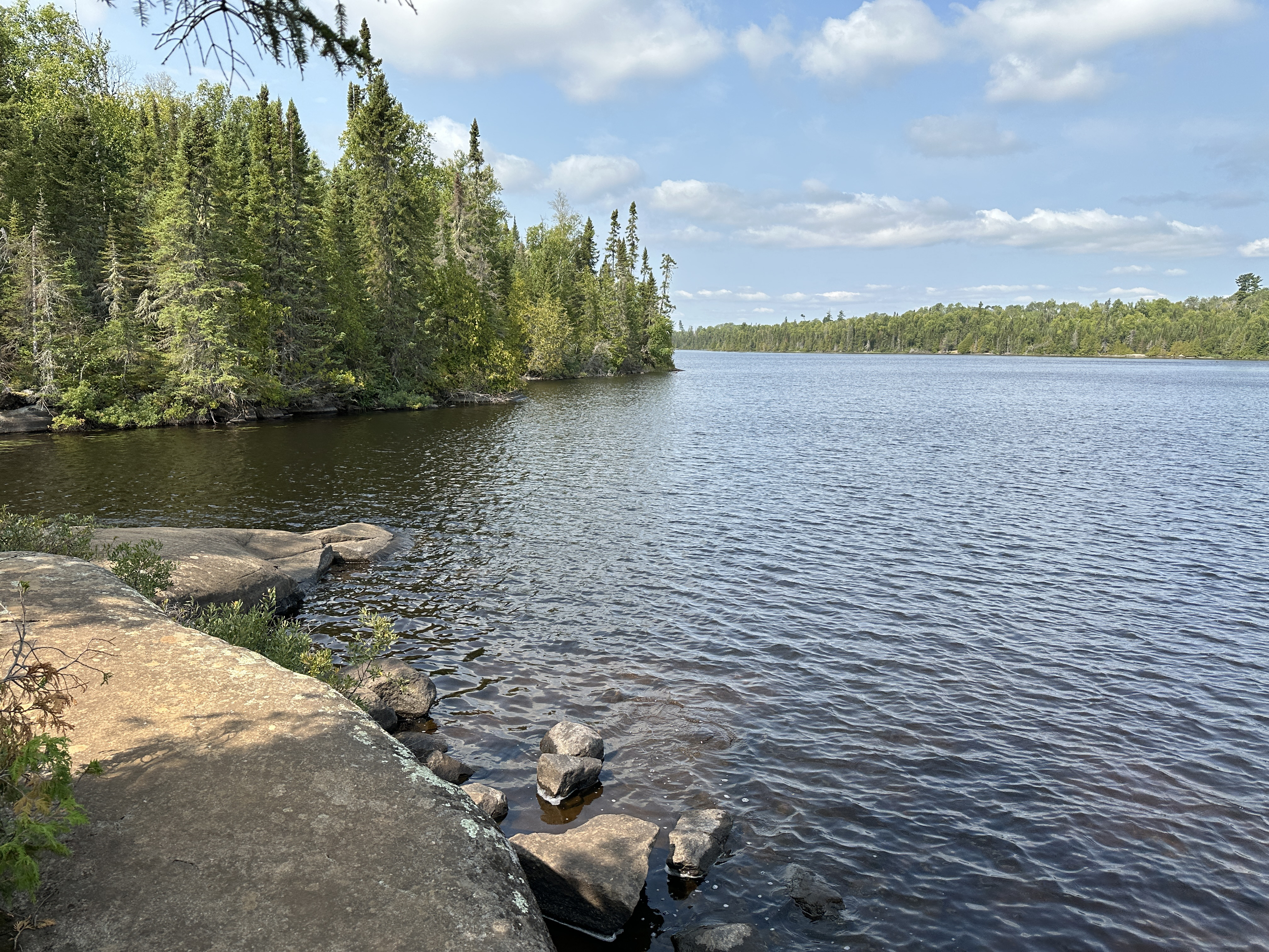
Water flows into Caribou Lake from both Meeds Lake and Lizz Lake. Water then exits the lake to the south via a creek to Horseshoe Lake.
Most of the logging on Caribou Lake was a result of the Finn Lake Sale. This sale was completed with Consolidated Papers of Wisconsin in the mid-1950's. The timber being cut consisted of jack pine, white and red pine, black and white spruce, northern white cedar, balsam fir, birch and aspen. This tract extended west from Caribou Lake as far as Long Island Lake and also up to Meeds Lake, Rush Lake and Skipper Lake. Logging in the area ended around 1972 (Heinselman).
Click on the photos below to see the full resolution image - Use your browsers back button to close photo and return to this page.
PADDLING FROM THE LIZZ LAKE PORTAGE TO BWCA CAMPSITE 645
It's a quick paddle to the south/southwest across the lake. The campsite is easily visible from the portage landing.
View west from the campsite. Explore BWCA Campsite 645 -or- Explore Another Route **********************************************END OF ROUTE***********************************************
PADDLING FROM THE LIZZ LAKE PORTAGE TO THE SWAMP LAKE PORTAGE
A paddle of about one-mile. Head to the southwest and travel around the large point that divides the eastern end of Caribou Lake. Portage is at the northeastern corner of the southeast arm of the lake. Portage to Swamp Lake -or- Explore Another Route **********************************************END OF ROUTE***********************************************
PADDLING FROM THE SWAMP LAKE PORTAGE TO BWCA CAMPSITE 671
The campsite is just a short paddle down the shoreline to the south from the portage. Visit BWCA Campsite 671 -or- Explore Another Route **********************************************END OF ROUTE***********************************************
PADDLING FROM BWCA CAMPSITE 671 TO THE HORSESHOE LAKE PORTAGE
Following the south shoreline of the eastern end of Caribou Lake a short distance to the Horseshoe Lake portage. Portage to Horseshoe Lake -or- Explore Another Route **********************************************END OF ROUTE***********************************************
PADDLING FROM BWCA CAMPSITE 645 TO BWCA CAMPSITE 644
It's less than a five minute paddle to the northwest to the next campsite. BWCA Campsite 644 is located along the north shore of Caribou Lake, just west of the Lizz Lake portage. Explore BWCA Campsite 644 -or- Explore Another Route **********************************************END OF ROUTE***********************************************
PADDLING FROM BWCA CAMPSITE 644 TO BWCA CAMPSITE 642
Paddle across the widest part of Caribou Lake on a southwest heading to the next campsite. BWCA Campsite 642 is situated on a point in the southwest corner of the lake. Explore BWCA Campsite 642 -or- Explore Another Route **********************************************END OF ROUTE***********************************************
PADDLING FROM BWCA CAMPSITE 642 TO THE MEEDS LAKE PORTAGE
Paddle around the point and then head generally north past BWCA Campsite 641 (which was occupied). Briefly stop at the west end of Caribou Lakes largest island. Leave the island and head to the western end of the lake where you locate the rocky landing for the first of two portages leading to Meeds Lake.
Looking to the east at the south shore (in the distance) of Caribou Lake. Portage to Meeds Lake -or- Explore Another Route **********************************************END OF ROUTE***********************************************
PADDLING FROM THE HORSESHOE LAKE PORTAGE TO THE LIZZ LAKE PORTAGE
Head roughly northwest from the Horseshoe Lake portage. Make your way around the large point that splits to eastern end of Caribou Lake into a north and south arm. After rounding the point, head northeast to the Lizz Lake portage (June 29, 2025).
A slightly older video that shows this route (August 20, 2023). Portage to Lizz Lake -or- Explore Another Route **********************************************END OF ROUTE***********************************************