Gogebic Lake
Gunflint Ranger District
GOGEBIC LAKE CAMPSITES:
Campsite 1 (#723): Westernmost campsite along the north shoreline (accessible from Border Route Trail)
Campsite 2 (#724): East campsite on the lake (not accessible from Border Route Trail)
The lake is pronounced 'Go-gee-bic'. The name comes from the Ojibwe language and means appropriately 'where trout rising to the surface make rings in the water'. Gogebic Lake sits 116 feet above West Pike Lake. Large hills are situated on each end of the lake, both rising to over 2000 feet, which is over 300 feet above the surface of Gogebic Lake which is at an elevation of 1672 feet.
Gogebic Lake has been stocked with stream trout since 1957. Most recently it is being stocked every other year with brook trout by the Minnesota Department of Natural Resources.
There are two campsites on this lake. One is accessible from the Border Route Trail which runs along the north side of Gogebic Lake. This campsite is located right in the middle of the trail. The other campsite is only reachable by canoe. Their is a portage from West Pike Lake to Gogebic Lake, but it isn't shown on most maps. This is a difficult portage, with a steep climb if heading to Gogebic Lake from West Pike Lake. The portage follows the Border Route Trail for about half of its length.
References:
Scott, Marcia and Hoffman, Chuck, The Border Route Trail a Guide and Map, Seventh Edition (Border Route Trail Association, 2017), 28-29.
Exploring Gogebic Lake
Click on the photos below to see the full resolution image - Use your browsers back button to close photo and return to this page.
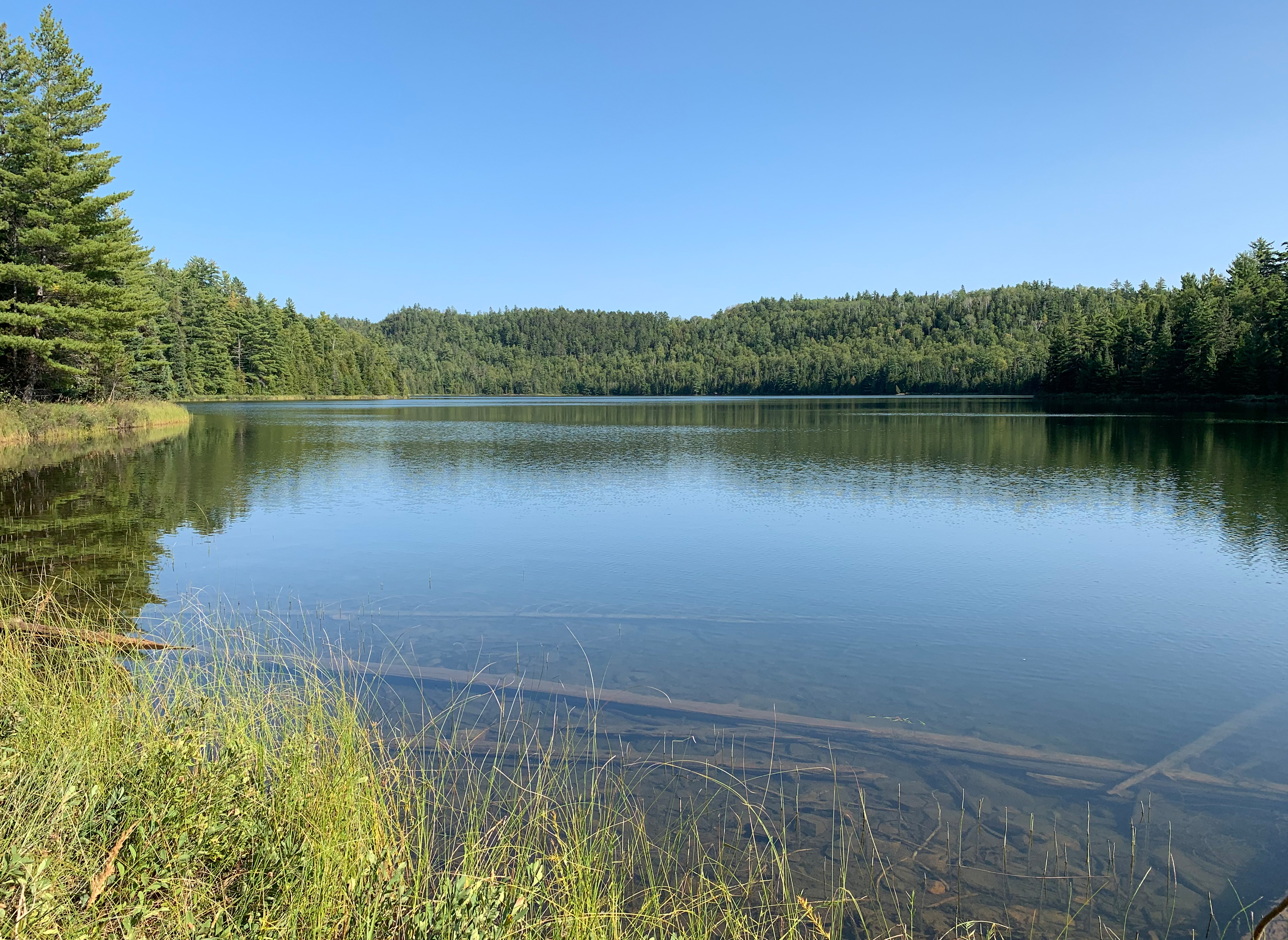
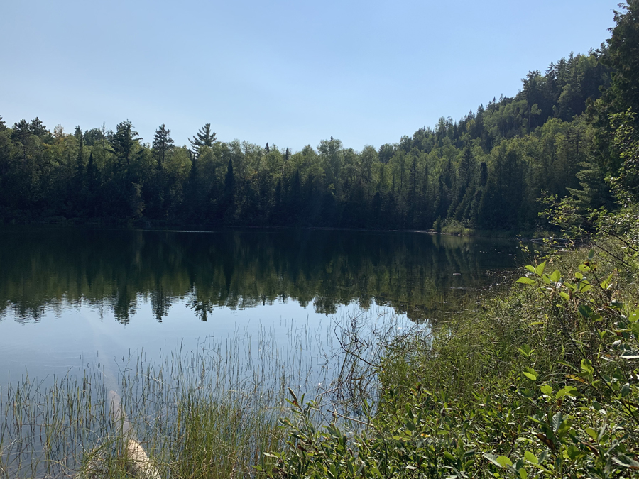
This image is from BWCA Campsite 723 and is looking towards the east.
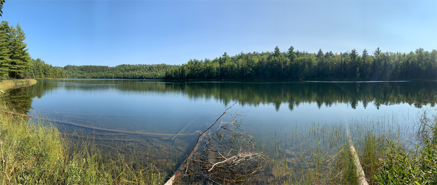
Panoramic view of most of Gogebic Lake.
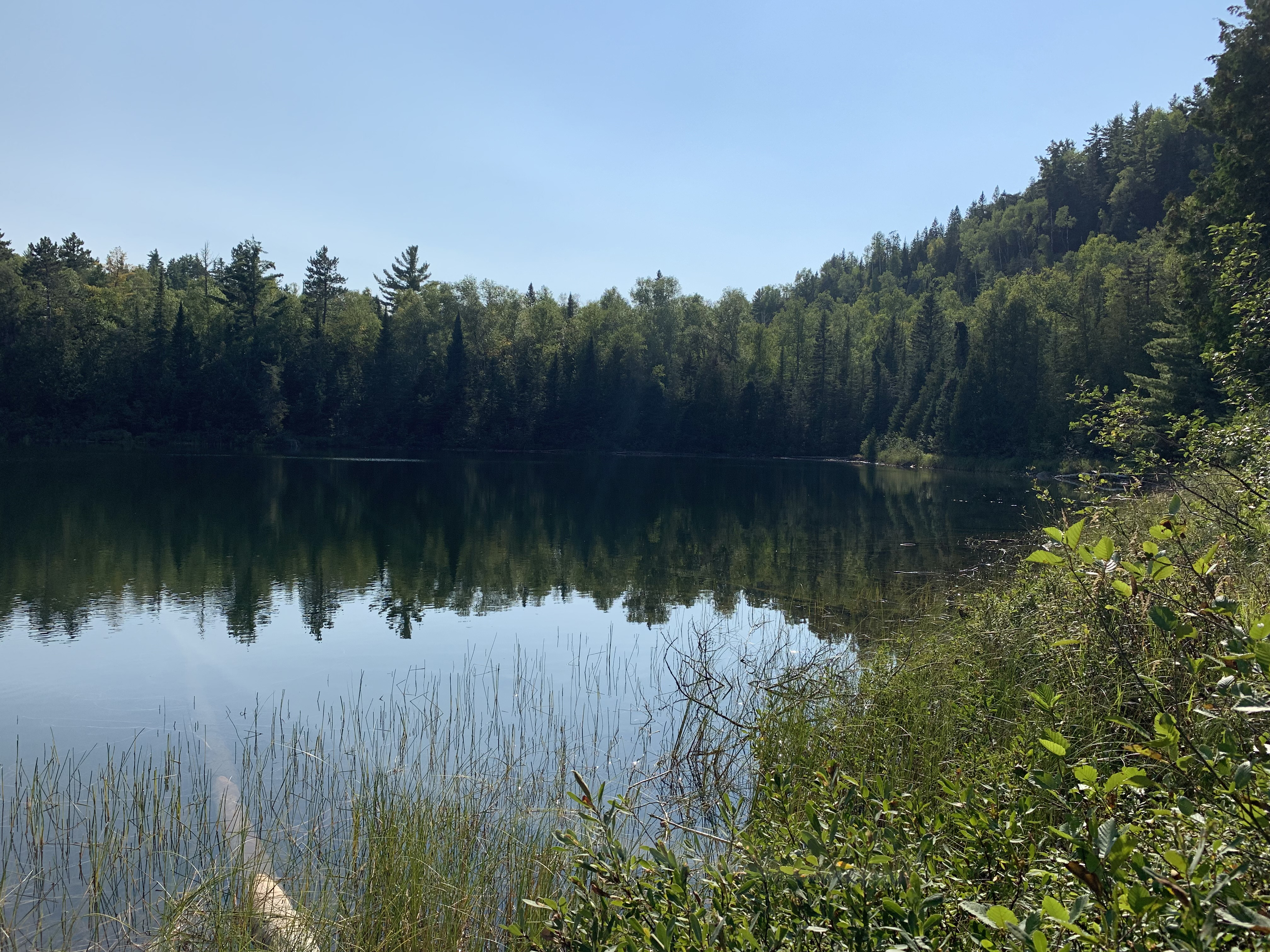
The western end of the lake.
Route Connections for Gogebic Lake
From Gogebic Lake you can portage into West Pike Lake. There is also access to The Border Route hiking trail.
Return to Top of Page
|