West Pike Lake
Gunflint Ranger District
WEST PIKE LAKE CAMPSITES:
Campsite 1 (#725): Westernmost campsite along the north shoreline
Campsite 2 (#726): Second campsite along north shoreline from the west end of the lake
Campsite 3 (#727): Second campsite along north shoreline from the east end of the lake
Campsite 4 (#728): Easternmost campsite along the northern shoreline
Campsite 5 (#2017): The campsite on the lakes island
This clear lake is the least visited lake in this area of the BWCA. The long portages required to reach this lake may keep many groups away. You can usually find one of its five campsites open.
Some of the hills on the north and south sides of the lake rise over 500 feet above the water. This makes the hills and cliffs around this lake likely the highest in the BWCA relative to a lakes surface level.
The portage to between West Pike Lake and Pine Lake is tough, with a lot of elevation change, as it sneaks through a pass between two large hills. There is a portage to Gogebic Lake that is not shown on most maps. This is also a difficult portage. On the portage between Clearwater Lake and West Pike Lake, you can access the Border Route Trail.
West Pike Lake is the 27th deepest lake in the Boundary Waters. Check this page for a list of the deepest lakes in the BWCA.
Beware of this lake when the wind is up. The waves can really get going on this big wide open body of water.
Water movement in this lake is from west to east. A stream from Clearwater Lake feeds into the west end of the lake. Another small creek flows out the east end of the lake to East Pike Lake.
References:
Beymer, Robert, Boundary Waters Canoe Area – Volume 2 – Eastern Region (Berkeley: Wilderness Press, 2006), 216, 223, 230, 238, 239, 244, 245, 252, 253, 258, 260, 265, 266.
Pauly, Daniel, Exploring the Boundary Waters (Minneapolis: University of Minnesota Press, 2005), 386-387.
Exploring West Pike Lake
Click on the photos below to see the full resolution image - Use your browsers back button to close photo and return to this page.
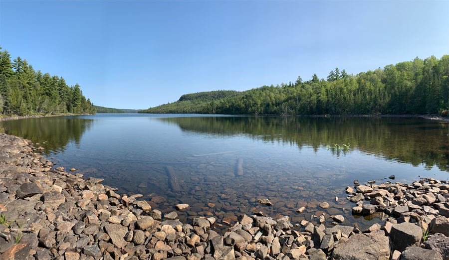
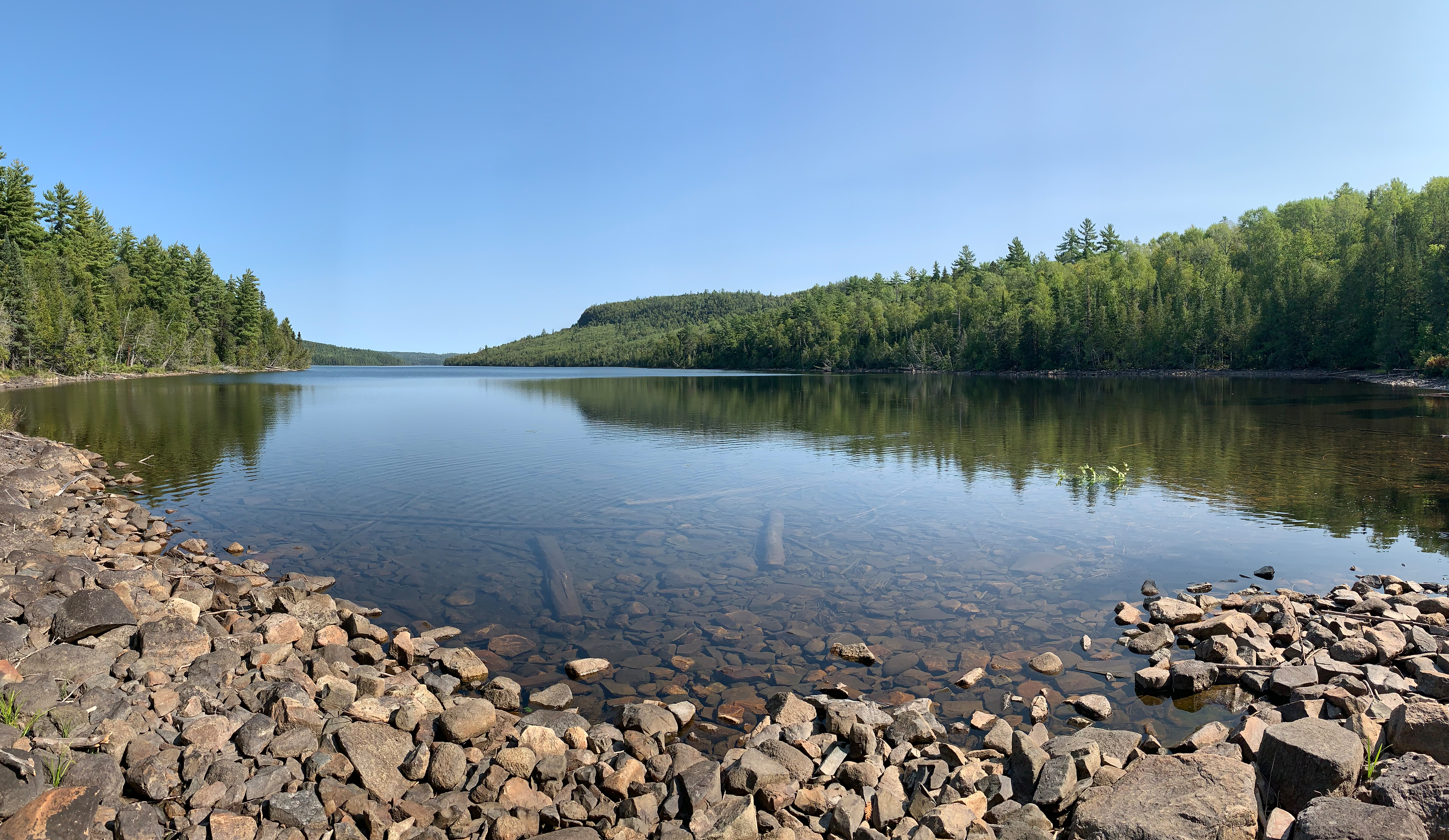
This view is towards the east of West Pike Lake from the start of the portage to Clearwater Lake.
Route Connections for West Pike Lake
From West Pike Lake you can portage into Clearwater Lake, East Pike Lake, Gogebic Lake and Pine Lake. All of these are long portages. You can also access the Border Route Trail about midway along the portage leading to Clearwater Lake.
Return to Top of Page
|