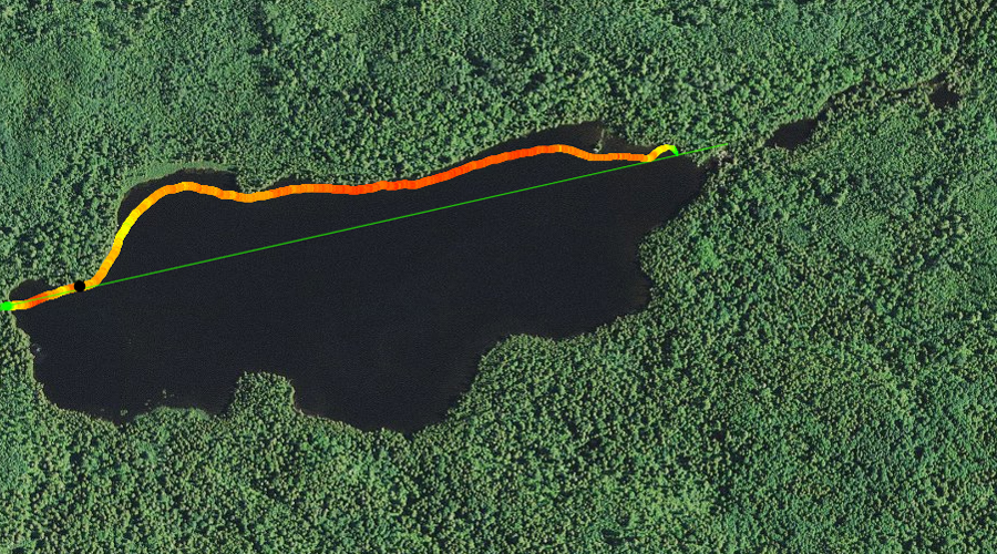
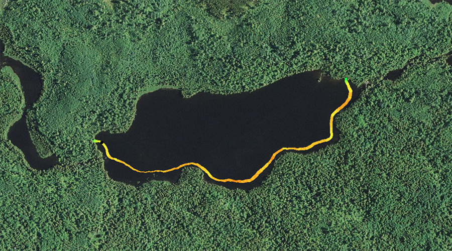
MARSHALL LAKE CAMPSITE:
Campsite 1 (#782): West end of the lake just south of Dugout Lake portage
This is a fairly small lake with a single campsite. Both portages into this lake are relatively easy. The lake contains northern pike, smallmouth bass and walleye, with a somewhat plentiful supply of the latter.
The southeast part of the lake is shadowed by Brule Mountain, which rises over 500 feet above the lake. The north side of the lake is low lying terrain with some wetlands along the shoreline.
The South Brule River, a tributary of the Brule River, flows into Marshall Lake just south of the portage on the west end of the lake. The river exits the lake at the far eastern end just south of the portage to Bower Trout Lake.
The route west of Marshall Lake passes through two small lakes: Dugout Lake and Skidway Lake. Those lakes are more like wide sections of the South Brule River, unlike Marshall Lake and Bower Trout Lake which feel like lakes. There is a small, shallow set of rapids (more like riffles) just before you enter Dugout Lake that you have to paddle through. There is another section of rapids along the route toward the west between Dugout Lake and Skidway Lake. This set of riffles may require getting out of the canoe and lining over them if the water is too low. There are no portages for these two minor obstacles.
The surrounding forest at Marshall Lake was logged by the General Logging Company. This company extended a spur of the old Alger-Smith railroad out to the shore of Marshall Lake. Most logging in this area occurred in the 1920's (Heinselman, 1999).
References:
Beymer, Robert, Boundary Waters Canoe Area – Volume 2 – Eastern Region (Berkeley: Wilderness Press, 2006), 91, 94, 103, 111.
Heinselman, Miron, The Boundary Waters Wilderness Ecosystem (Minneapolis: University of Minnesota Press, 1999), 107.
Pauly, Daniel, Exploring the Boundary Waters (Minneapolis: University of Minnesota Press, 2005), 284.
Click on the photos below to see the full resolution image - Use your browsers back button to close photo and return to this page.
PADDLING FROM THE BOWER TROUT LAKE PORTAGE TO THE SOUTH BRULE RIVER (DUGOUT LAKE) PORTAGE
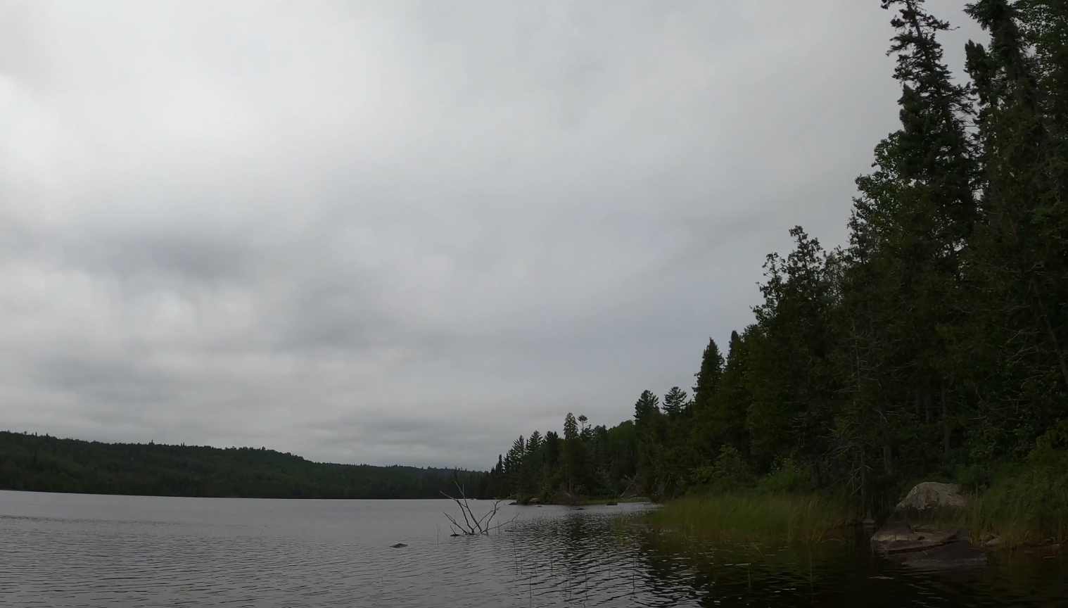
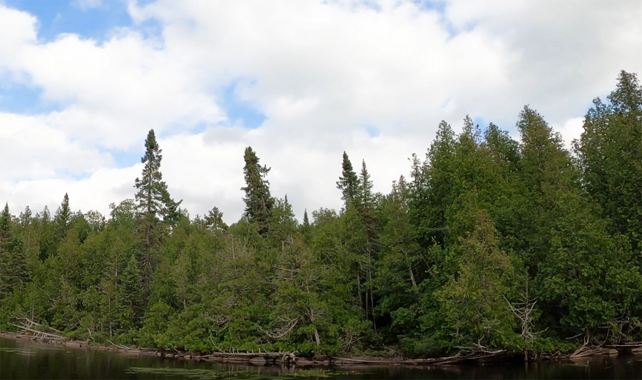
Gloomy skies. This is looking toward the west along the north shoreline of Marshall Lake.
Marshall Lake is relatively small. As you first set out from the Bower Trout Lake portage, the dark bulk of Brule Mountain is visible to your left. Paddling takes you along the north shoreline westward, until arriving at the South Brule River portage. This would also be the portage for Dugout Lake. There is a campsite just south of the portage. This is the last campsite until you reach Swan Lake.
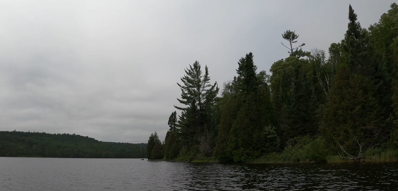
The small point, that is just west of the center of the lake, can be seen here along the north shoreline. Portage to Dugout Lake -or- Explore Another Route ***********************************************END OF ROUTE***********************************************
PADDLING FROM THE SOUTH BRULE RIVER (DUGOUT LAKE) PORTAGE TO THE BOWER TROUT LAKE PORTAGE
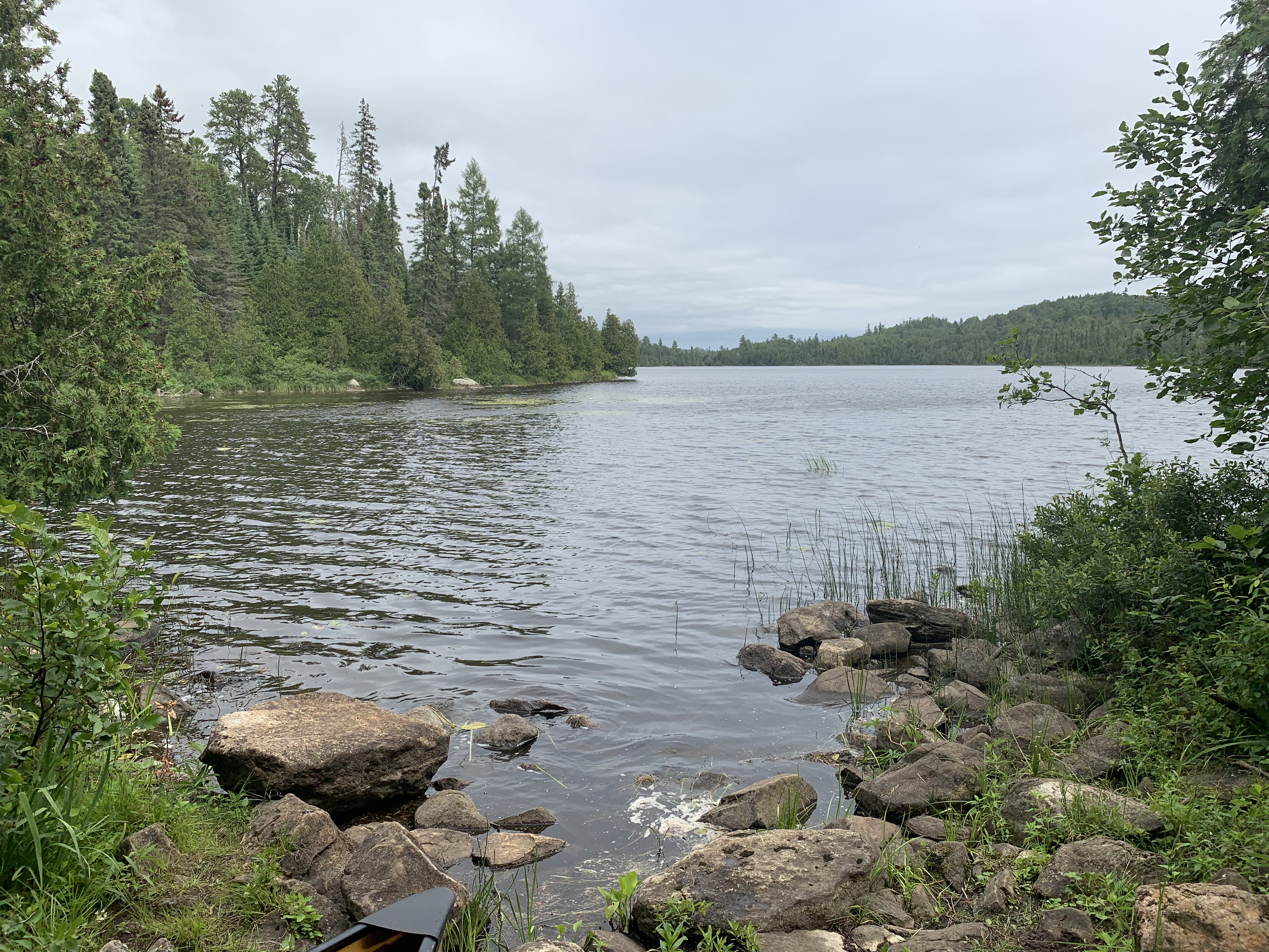
View to the east of Marshall Lake from the South Brule River (Dugout Lake) portage. There is a campsite just around the corner to the right from this location.
Beginning at the portage to Dugout Lake, paddle east along the low lying south shoreline of Marshall Lake until reaching the Bower Trout Lake portage.
The south shoreline of Marshall Lake is low land. A great many cedar trees grow in this area. This image is of the south shoreline near the east end of the lake. Portage to Bower Trout Lake -or- Explore Another Route ***********************************************END OF ROUTE***********************************************