The portage from the entry point parking lot to the shore of Morgan Lake is a long one, but is its not otherwise too difficult. The portage has some ups and downs. The major muddy areas now have boardwalks over them, leaving just a few small mudholes to dance your way around. The portages to Carl Lake and Jake Lake are easy. The portage to Jake Lake is very flat and skirts the edge of a marsh.
Surprisingly there are no campsites on Morgan Lake. There are some open areas in the forest not far west of the entry point landing, but they are not campsites.
Lots of beaver seen on the west end of this lake.
Carl Lake drains into the south side of Morgan Lake near the portage. Morgan Lake flows out to the west into Jake Lake through a semi-navigable creek that passes through a marsh.
Logging occurred around this lake as recently as the late 1950's, so there are few large trees along the shoreline.
The lake has northern pike. Back in the 1980's Morgan Lake and Jake Lake were managed for stream trout. Those fish are no longer present in the lake.
References:
Beymer, Robert, Boundary Waters Canoe Area – Volume 2 – Eastern Region (Berkeley: Wilderness Press, 2006), 100, 105, 107, 109.
Pauly, Daniel, Exploring the Boundary Waters (Minneapolis: University of Minnesota Press, 2005), 290.
Click on the photos below to see the full resolution image - Use your browsers back button to close photo and return to this page.
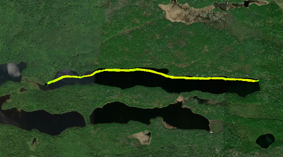
PADDLING FROM THE BWCA ENTRY POINT 45 PORTAGE TO THE CARL LAKE PORTAGE
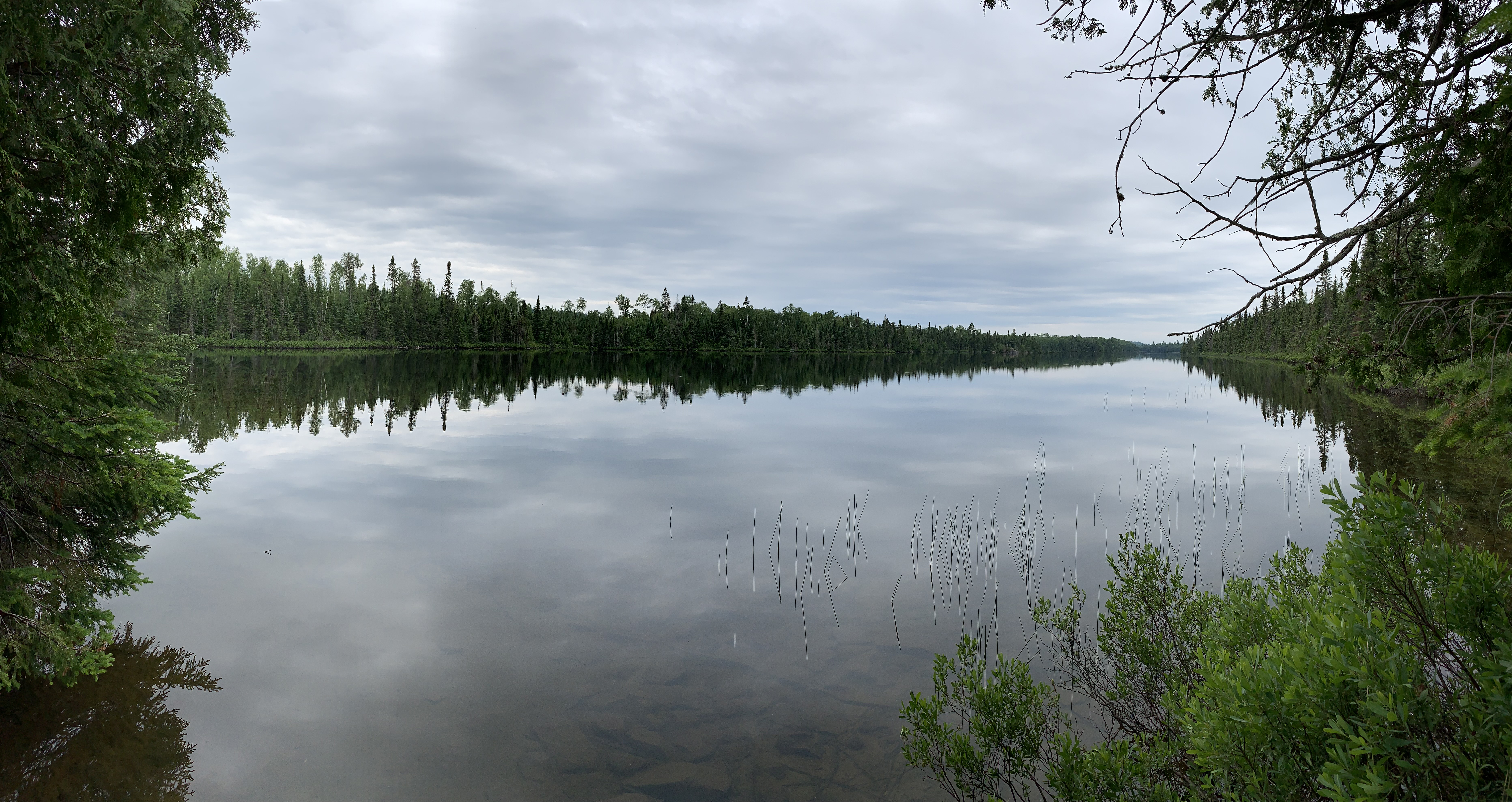
View to the west of Morgan Lake. This is from the BWCA Entry Point 45 canoe landing.
Paddling along the south shore of Morgan Lake from the BWCA Entry Point 45 landing to the Carl Lake portage, which is found back in a little inlet.
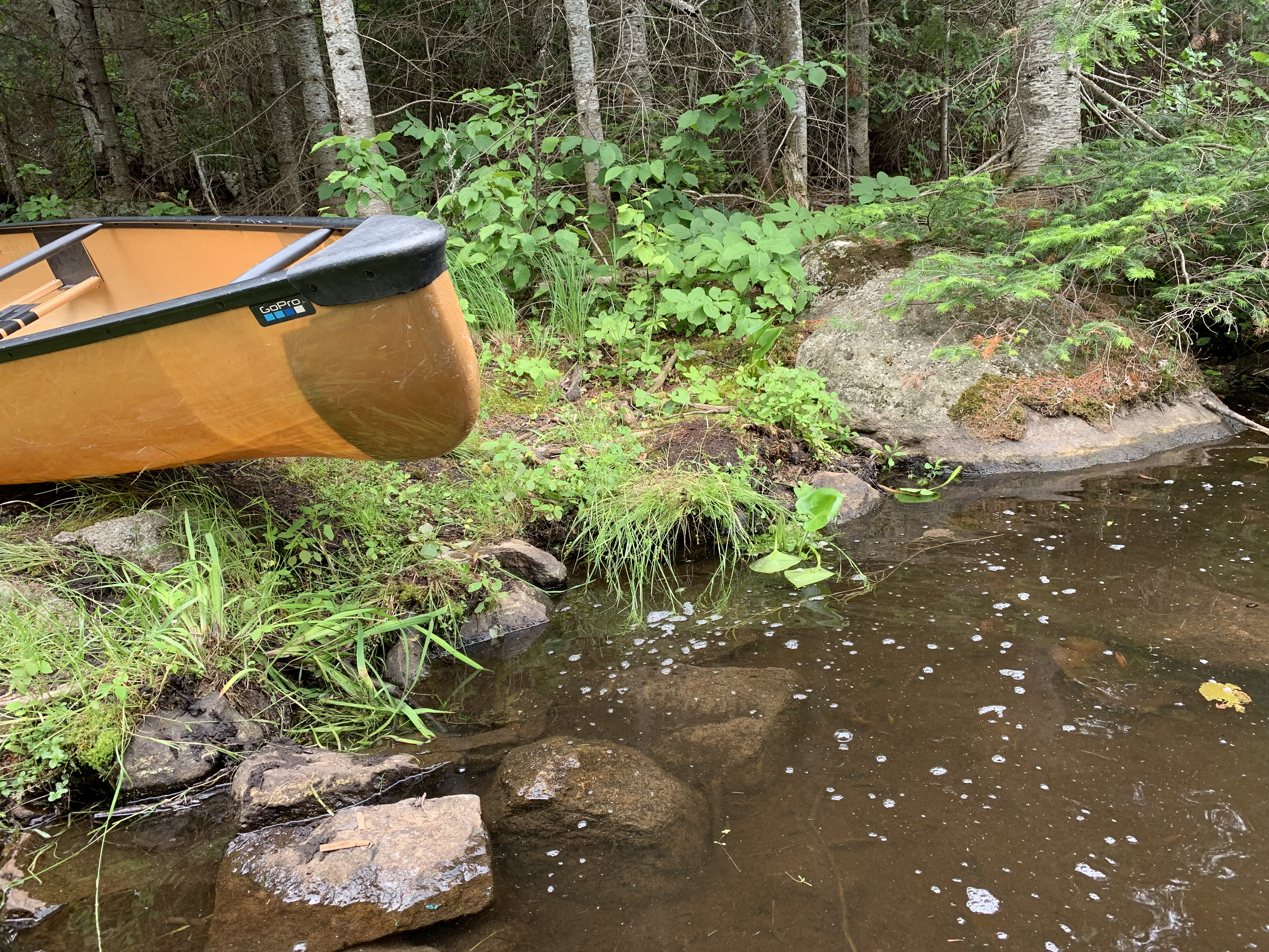
The landing for the Carl Lake portage is a little rough. The portage is very short and easy.
PADDLING FROM THE JAKE LAKE PORTAGE TO THE BWCA ENTRY POINT 45 PORTAGE
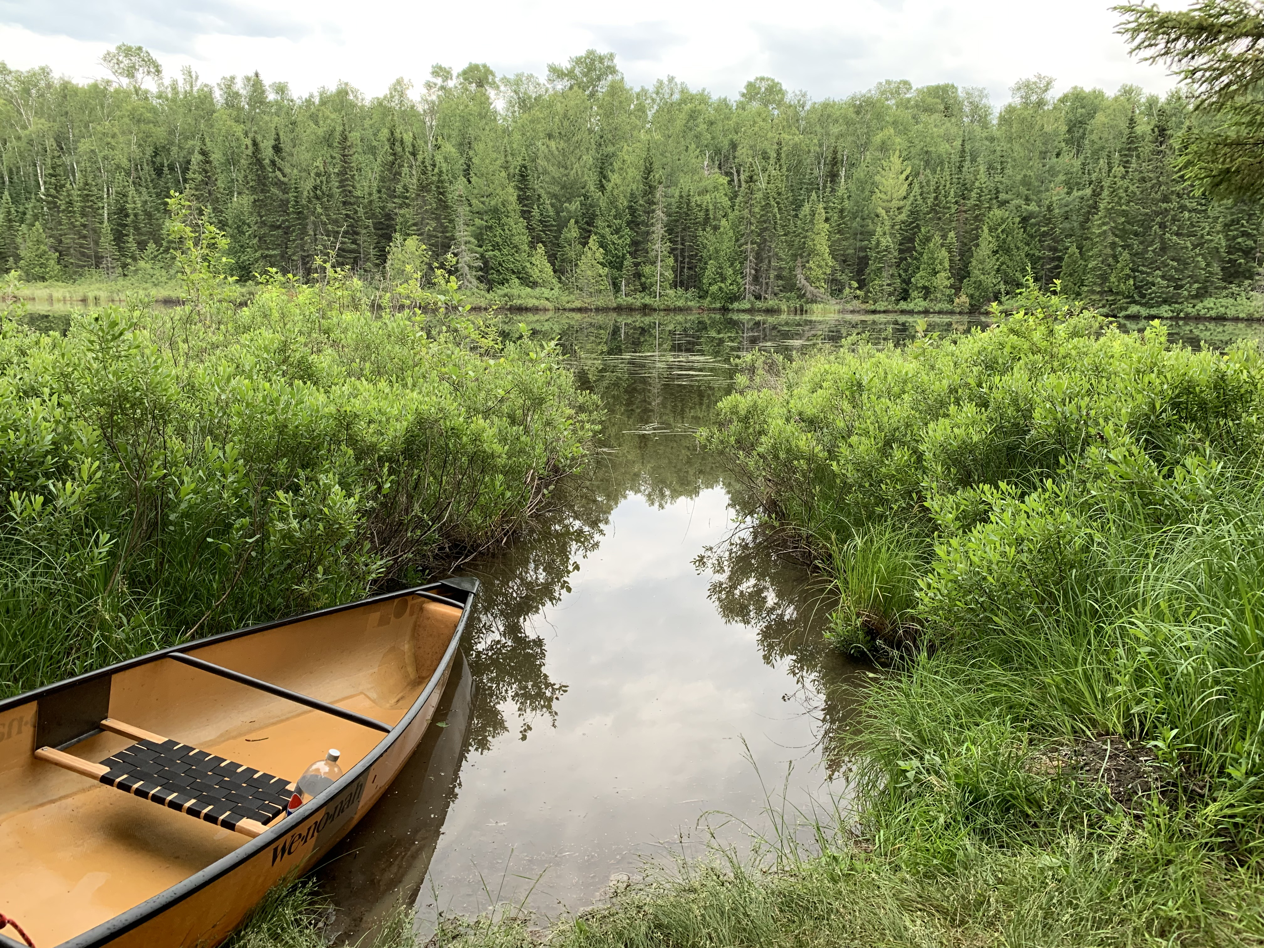
The Jake Lake portage starts back in this small inlet. Looking south at the western end of Morgan Lake.
A dead calm evening paddle of the full length of Morgan Lake from the Jake Lake portage to the BWCA Entry Point 45 portage landing. Some beaver activity to be observed along the way. Views of distant Lima Mountain are to be had for much of this route. Lima Mountain rises (elevation 2,238 feet) over the east end of Morgan Lake. The elevation of Morgan Lake is 1,866 feet.