Sebeka Lake
Gunflint Ranger District
The name of this lake has its origins in the Ojibwe language and it means "village or town by the water". Perhaps there was an Ojibwe village located near Sebeka Lake in the past?
The portage between Sebeka Lake and Banadad Lake crosses the Laurentian Divide. From Sebeka Lake, all water flows west towards Ross Lake. Water flows into the lake from a small creek that drains in along the north shoreline. This creek drains several wetlands north of Sebeka Lake.
A relatively high ridge lies along the south side of the lake rising to 2063 feet.
References:
N/A
Exploring Sebeka Lake
Click on the photos below to see the full resolution image - Use your browsers back button to close photo and return to this page.
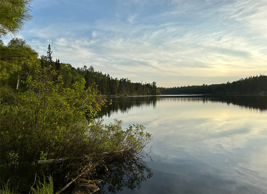
This is a view of Sebeka Lake looking towards the west from the Banadad Lake portage.
Route Connections for Sebeka Lake
From Sebeka Lake, you can portage to either Banadad Lake or Ross Lake.
Return to Top of Page
|


