BANADAD LAKE CAMPSITES: Campsite 1 (#579): Eastern most campsite on the lake along the north shoreline Campsite 2 (#580): On the island (except during low water periods) near the middle of the lake Campsite 3 (#582): On the island in the west end of the lake Campsite 4 (#581): Up the north arm of Banadad Lake
There was extensive logging around this lake. Logging operations began in 1954 with the Finn Lake Sale to the Consolidated Papers Company. This company expanded logging roads from the end of the General Logging Railway that terminated near Poplar Lake out to the area around Banadad Lake. Logging operations continued until 1972 (Heinselman). Some of these roads now make up sections of the Banadad Ski Trail. That trail is accessible from Banadad Lake where it intersects the portage to Rush Lake.
This is prime moose habitat, so keep an eye peeled for these gangly critters.
The canoe route on which Banadad Lake is situated, extending from Poplar Lake on the east, all the way to Long Island Lake on the west, is seldom traveled. The one mile portage from Poplar Lake to Skipper Lake discourages many groups. The series of four difficult and/or long portages coming east from Long Island Lake demoralizes many paddling groups from coming across the route from that direction. There are also no campsites from Long Island Lake heading east until you reach Banadad Lake.
The portage from Banadad Lake to Sebeka Lake crosses the Laurentian Divide. The Laurentian Divide is similar to the Continental Divide, restricting water flow direction. Water flows east out of Banadad Lake into Rush Lake, while water in Sebeka Lake flows west to Ross Lake.
As mentioned above, there are no campsites on the lakes west of Banadad Lake until you reach Long Island Lake. The stretch of lakes and portages between these two lakes is challenging, so don't start your attempt over this stretch late in the day or you could end up traveling in the dark.
References:
Beymer, Robert, Boundary Waters Canoe Area – Volume 2 – Eastern Region (Berkeley: Wilderness Press, 2006), 126, 129, 132.
Heinselman, Miron, The Boundary Waters Wilderness Ecosystem (Minneapolis: University of Minnesota Press, 1999), 118.
Pauly, Daniel, Exploring the Boundary Waters (Minneapolis: University of Minnesota Press, 2005), 301.
Click on the photos below to see the full resolution image - Use your browsers back button to close photo and return to this page.
PADDLING FROM THE RUSH LAKE PORTAGE TO BWCA CAMPSITE 579
View from the Rush Lake portage.
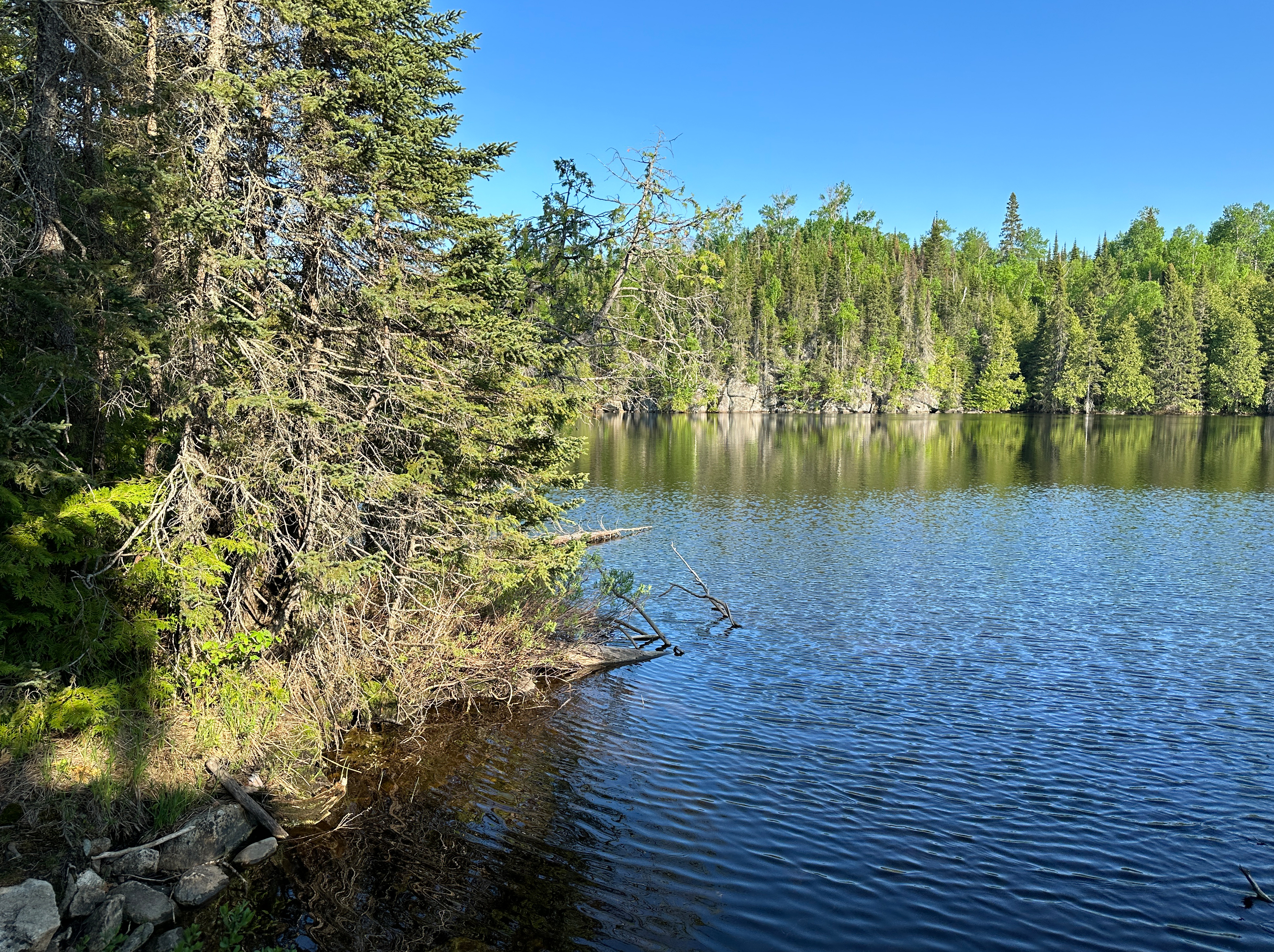
Leave the buggy portage landing for Rush Lake and paddle along the north shoreline on a west heading to BWCA Campsite 579.
PADDLING FROM BWCA CAMPSITE 579 TO BWCA CAMPSITE 580
Continue paddling along the north shoreline towards the west until reaching this island campsite (although its probably not an island, if water levels in the lake are really low).
PADDLING FROM BWCA CAMPSITE 580 TO THE SEBEKA LAKE PORTAGE
Following the north shoreline of the lake, westbound. Pass to the north of the large island at the west end of the lake. The Sebeka Lake portage is in the northwest corner of the west end of the lake.
PADDLING FROM THE SEBEKA LAKE PORTAGE TO BWCA CAMPSITE 582
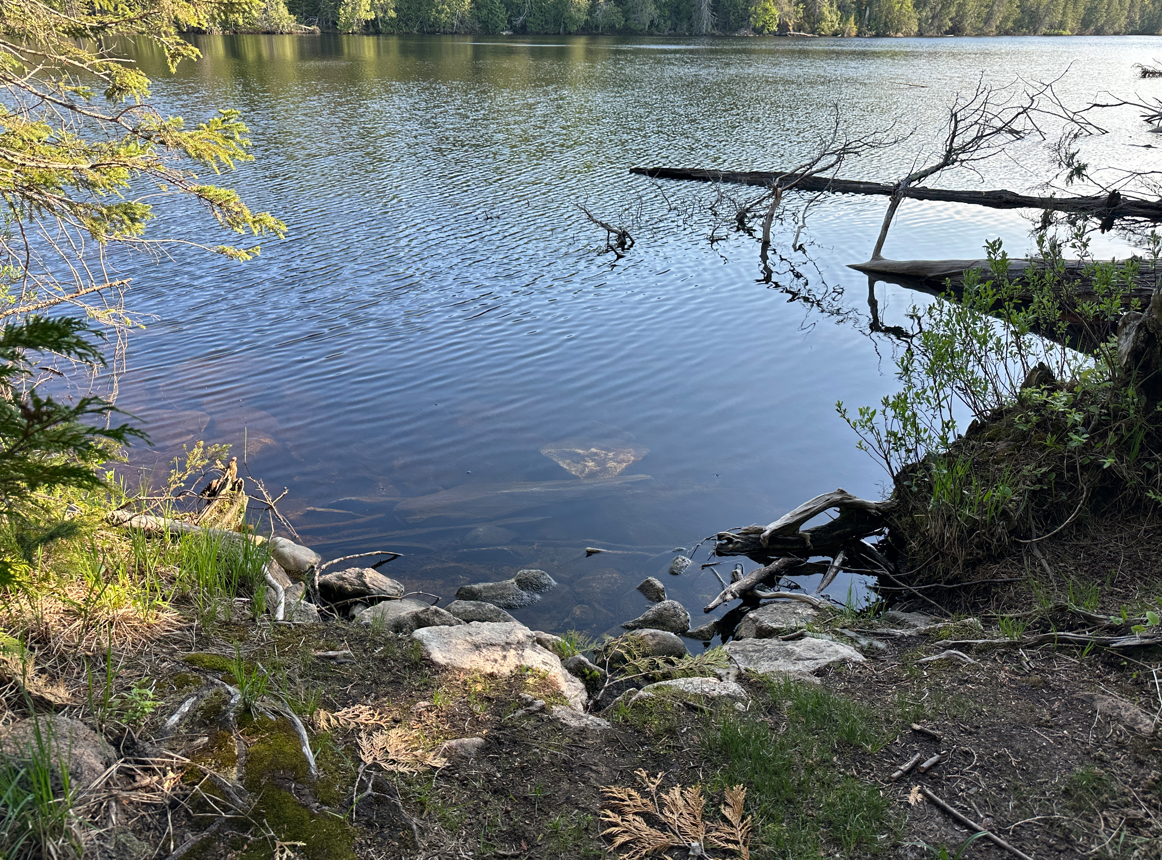
Arrival at Banadad Lake along the Sebeka Lake portage.
A short paddle from the portage to the island campsite. The majority of paddlers will probably agree that this is the best campsite on Banadad Lake.
PADDLING FROM BWCA CAMPSITE 582 TO BWCA CAMPSITE 581
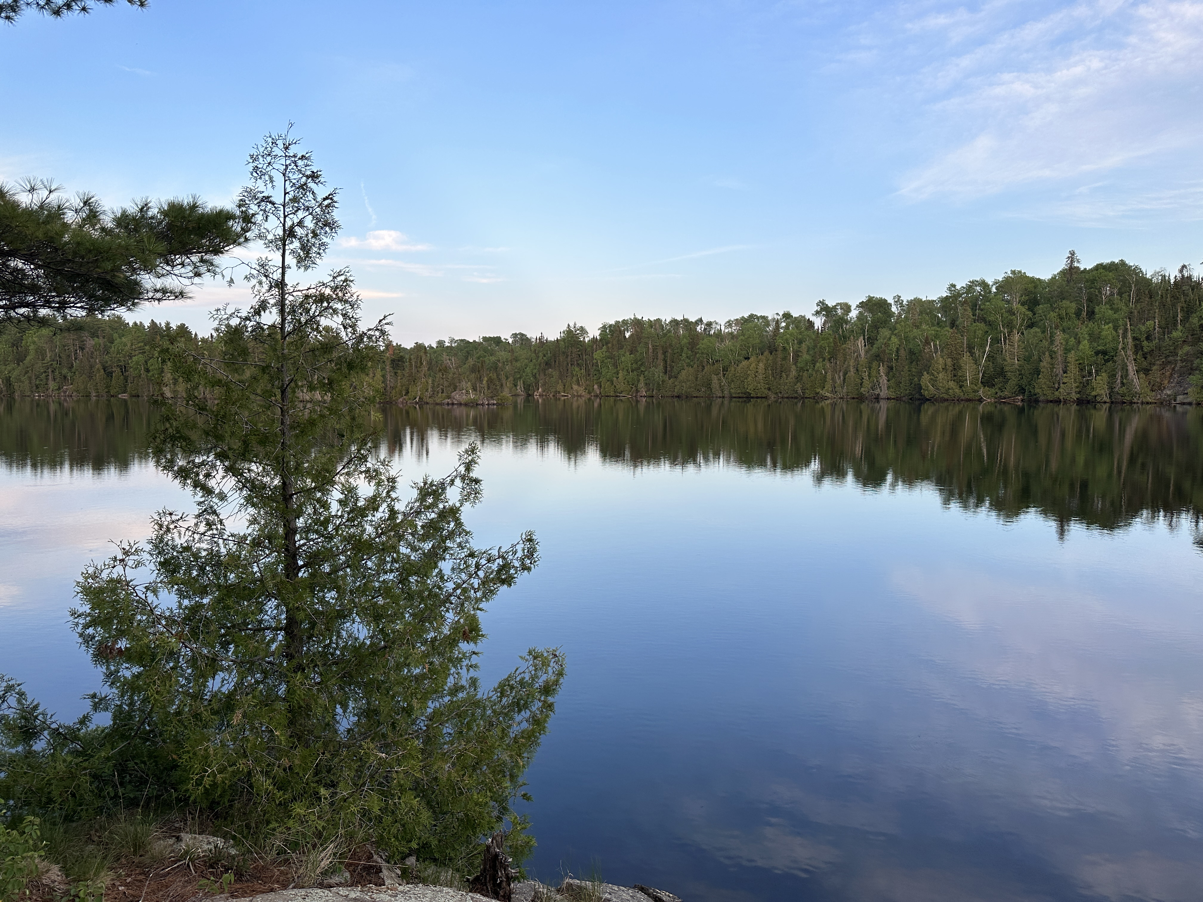
View from Campsite 582 looking southeast.
Paddle from the island to the east and enter the north arm. Keep along the left shoreline as you near the arms eastern end. The campsite is secluded and a bit hard to notice from the lake. Also seems to be slightly misplaced on most BWCA maps. In this video, actually went right by the campsite to the very east end of the arm. Then doubled-back to the campsite.
PADDLING FROM BWCA CAMPSITE 581 TO THE RUSH LAKE PORTAGE
Head back down the north arm of Banadad Lake and hang a hard left when entering the main part of the lake. Continue eastbound down this long lake until reaching the Rush Lake portage.
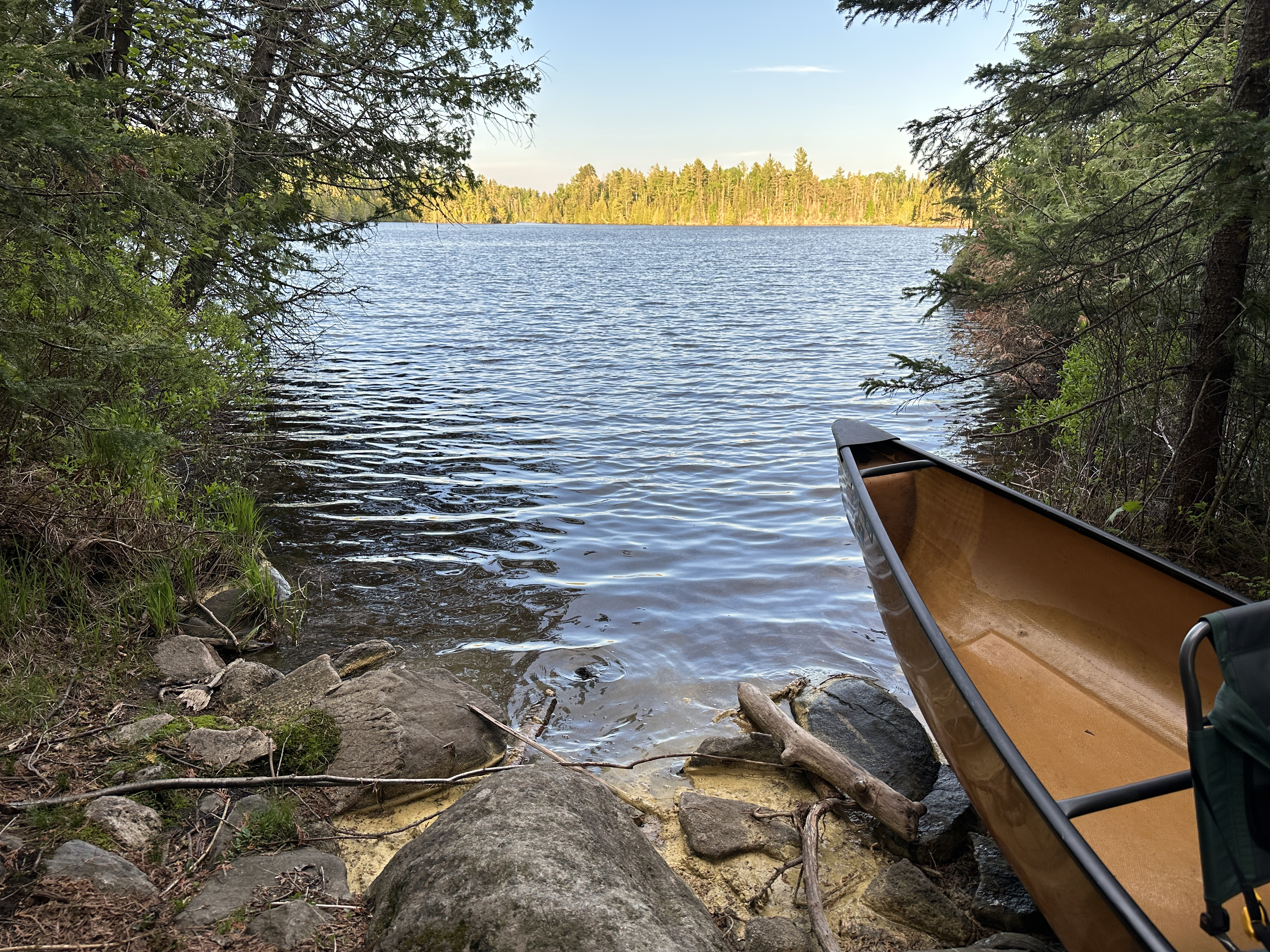
The Rush Lake portage landing. The portage over to Rush Lake is short, but also a little challenging.
Route Connections for Banadad Lake
From Banadad Lake, you can portage to either Rush Lake or Sebeka Lake. You can also hike the Banadad Trail which crosses the portage between Banadad Lake and Rush Lake.