Most paddling groups will just paddle directly across Swallow Lake to the Pillsbery Lake portage from the Meeds Lake portage, leaving the rest of the lake seldom explored. On the west end of the lake is a creek that flows in from Moon Lake. It is reasonably doable to paddle and bushwhack up that creek to Moon Lake if you want a little adventure.
Note that the portage between Pillsbery Lake and Swallow Lake is often incorrectly located on BWCA maps on the Pillsbery Lake end. It is actually about 600 feet further to the east and is easily visible from the water.
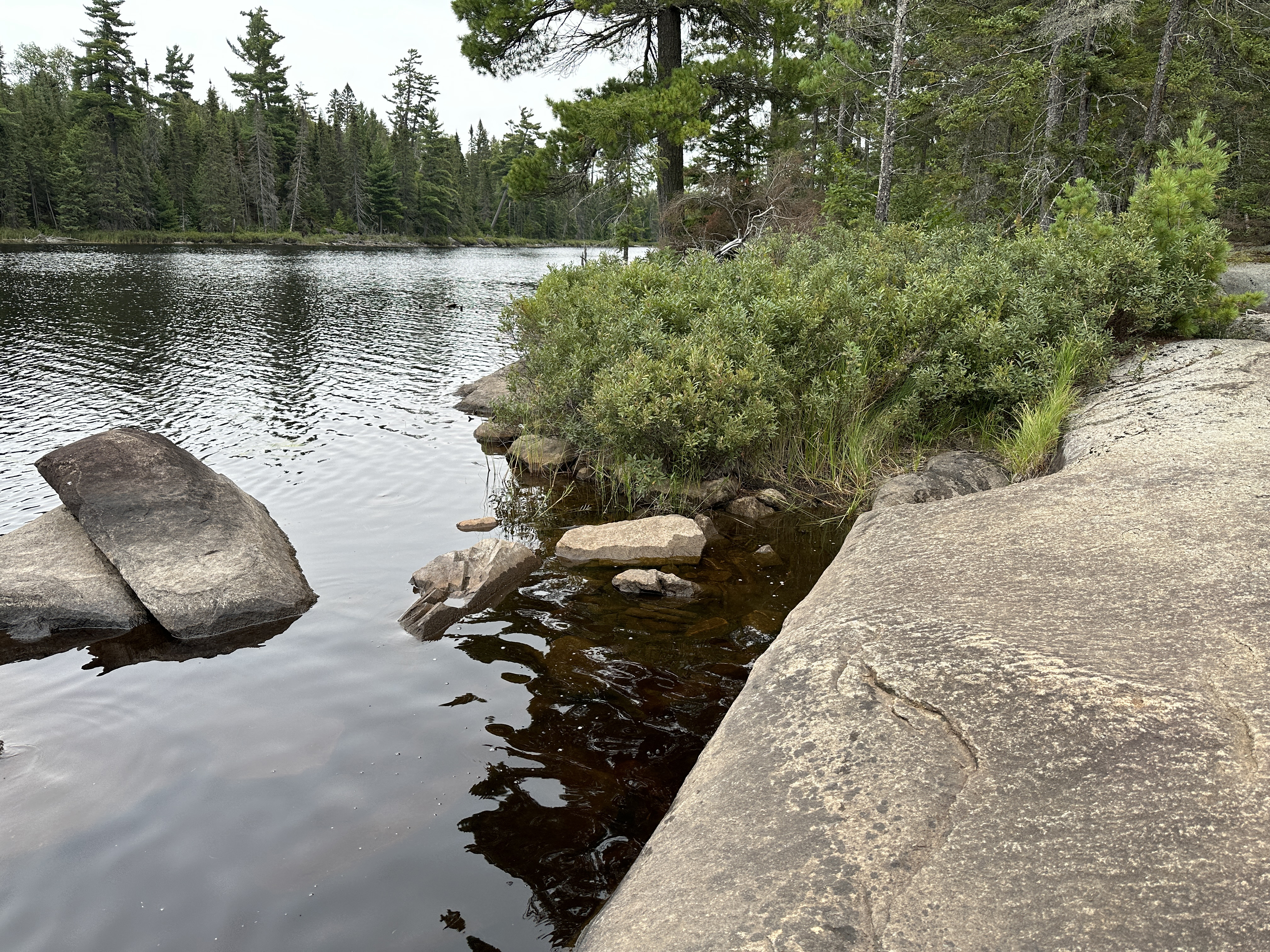
Swallow Lake drains to the south into Pillsbery Lake through a creek that runs east of the portage between these two lakes. Moon Lake feeds Swallow Lake from the west.
Logging was conducted in the forests around Swallow Lake between 1954 and 1972. This was part of the Finn Lake Sale to Consolidated Paper Company of Wisconsin. However the forest around this lake still has some older white pine and spruce trees, so it probably wasn't as heavily logged as some other lakes in this area.
The lake is perhaps named after the bird.
References:
Beymer, Robert, Boundary Waters Canoe Area – Volume 2 – Eastern Region (Berkeley: Wilderness Press, 2006), 107, 115, 118, 121, 123, 130, 133.
Pauly, Daniel, Exploring the Boundary Waters (Minneapolis: University of Minnesota Press, 2005), 293, 298.
PADDLING FROM THE MEEDS LAKE PORTAGE TO THE PILLSBERY LAKE PORTAGE
Paddle straight south, straight across the lake. The distance between the portages is less than 300 feet. You can see the start of the portage to Pillsbery Lake from the beginning of the Meeds Lake portage.
View of Swallow Lake from the Pillsbery Lake portage. Portage to Pillsbery Lake -or- Explore Another Route **********************************************END OF ROUTE***********************************************