Muskeg Creek
Kawishiwi Ranger District
This creek downstream of Muskeg Lake to Basswood Lake is navigable for much of its length, especially in the spring when water is high and vegetation hasn't filled the creek channel. The creek is encountered where it intersects the Four Mile Portage. The creek begins in a shallow bay on the west side of Mud Lake. You can also reach the middle section of the creek from Muskeg Lake.
Muskeg Creek flows out of Mud Lake and intersects the Four Mile Portage about 1/4 mile downstream. About one mile downstream from Mud Lake the creek flows into Muskeg Lake. Muskeg Creek continues north out of the lake and continues for about 3 1/2 miles before it drains into Basswood Lake at its mouth in Pipestone Bay. Most of this section of the creek is navigable during high water. There are two locations along the 3 1/2 mile stretch that will require a short bushwhack (20 rods and about 50 rods). If you decide to go this way, expect many beaver dams and maybe a fews downed trees to thread around too. This is not a maintained route.
Traveling Muskeg Creek
Click on the photos below to see the full resolution image - Use your browsers back button to close photo and return to this page.
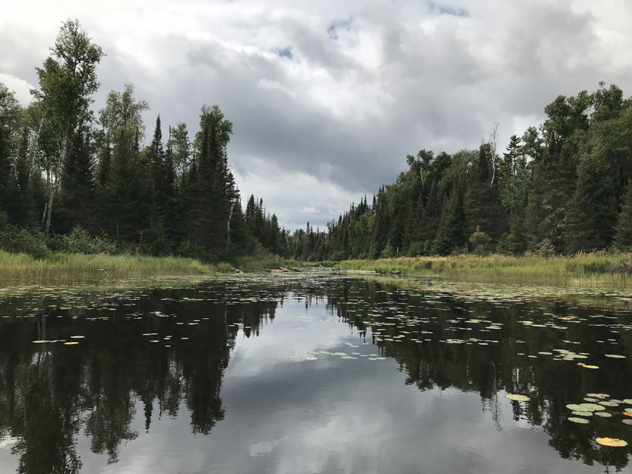
This is the beginning of Muskeg Creek where it flows out the west bay in the north part of Mud Lake.
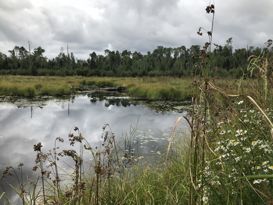
Muskeg Creek looking south of the Four Mile Portage about 1/4 mile downstream from Mud Lake.

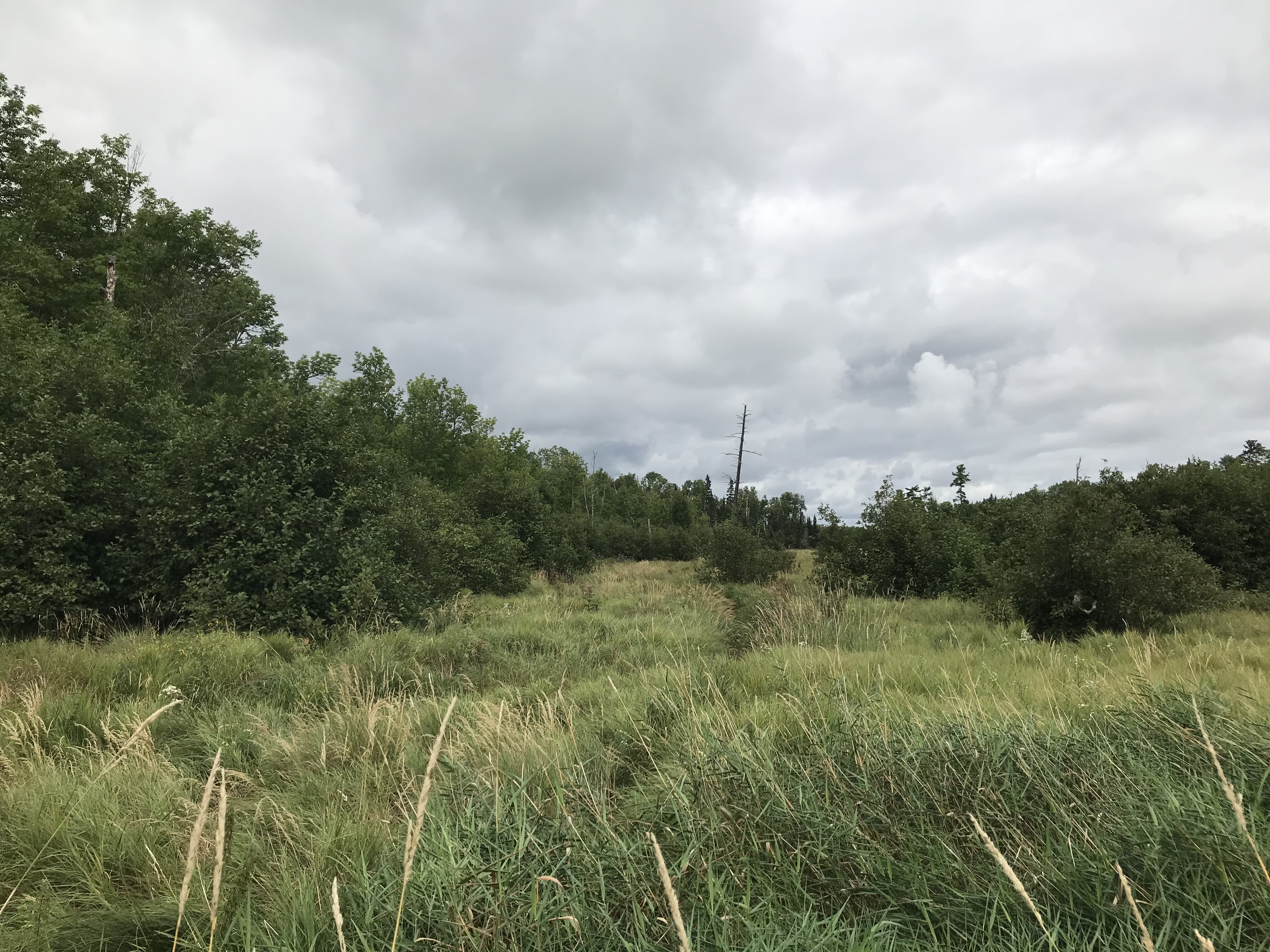
A view to the north side of the Four Mile Portage where it intersects Muskeg Creek. The creek is so narrow here you can't see it through the tall grass.
Route Connections for Muskeg Creek
From Muskeg Creek there are no route options. However, most of the creek is navigable between Muskeg Lake and Basswood Lake. There are just two short sections that will require some bushwhacking. Many beaver dams and some other obstructions are guaranteed along the route, but paddling this creek would make for a good adventure.
Return to Top of Page
|