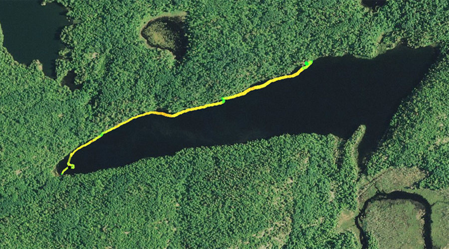
SANDPIT LAKE CAMPSITES: Campsite 1 (#1125): Campsite in middle of north shore - Only campsite on the lake
This is a clear water lake that acts as a crossroads for three other routes through the BWCA. The lake is surrounded by steep hills punctuated by a few cliffs. Much of the south shore of the lake is covered by layers of moss and lichen, whose multiple hues create a scenic backdrop along the forest floor.
Heading to the west from Sandpit Lake into Mudro Lake involves crossing an 80 rod portage that a mountain goat may taxing. Going toward Mudro Lake, the portage climbs 90 feet rather quickly. The portage than levels out and finally descends about 45 feet as you approach the Mudro Lake end. The other two portages out of Sandpit Lake are as flat as Kansas. The reason is that both of these 160 rod portages used to be spurs of the Swallow and Hopkins railroad. Swallow and Hopkins was a major logging company in this area in the late 1800's and early 1900's (Heinselman, 1999). The main line of this railroad extended from Winton, Minnesota to Jackfish Bay on Basswood Lake. Spurs of this railroad extended out to a number of other lakes in the region. One spur went along the east side of Range Lake, up along the northeast shore of Sandpit Lake beneath the cliffs and then onward to Tin Can Mike Lake. The portages between these lakes follow the old rail route, which is why these portages are so flat. The Tin Can Mike Lake portage has some muddy spots, particularly as it nears that lake. Because of all the logging in this area, slash fires were set or started on their own (i.e. lightning). The area to the north of Sandpit Lake burned in 1917.
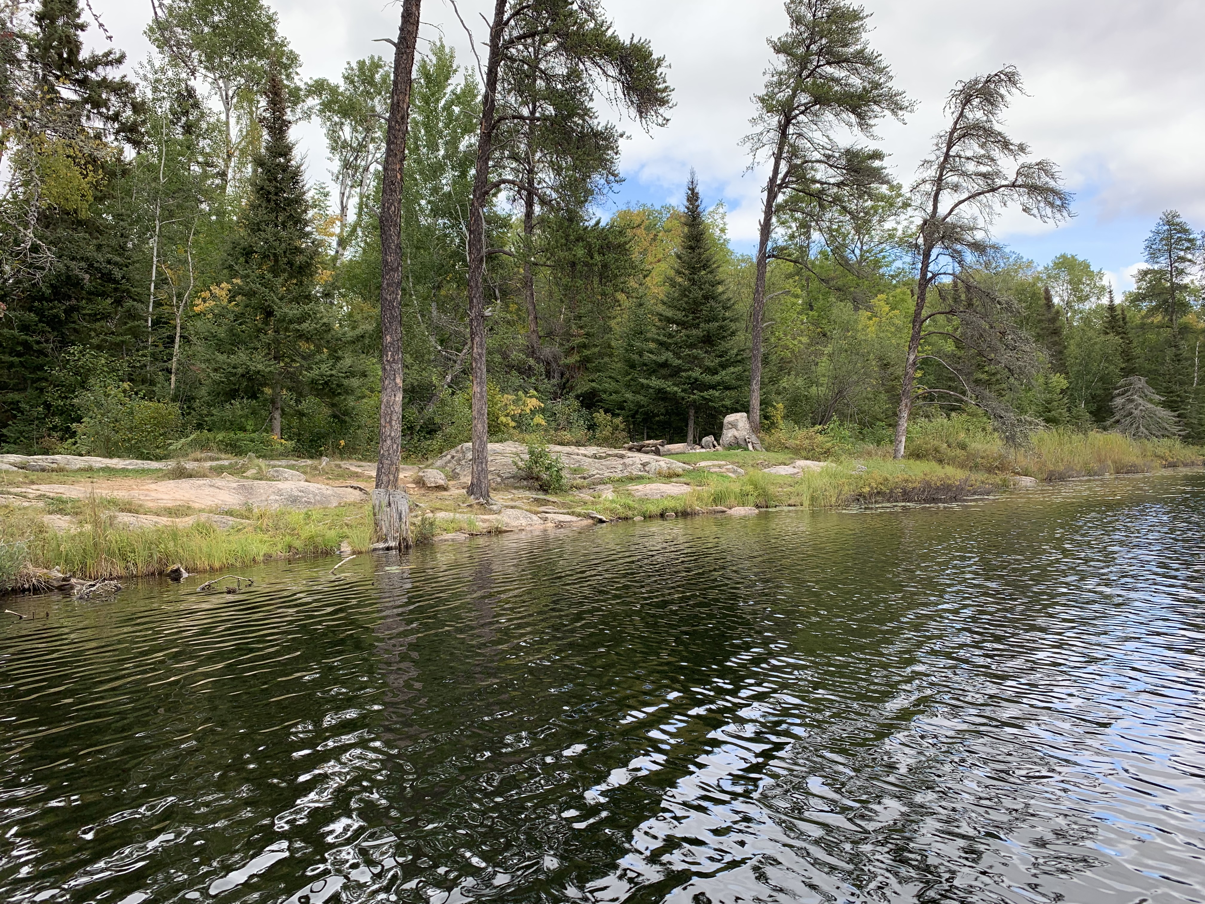
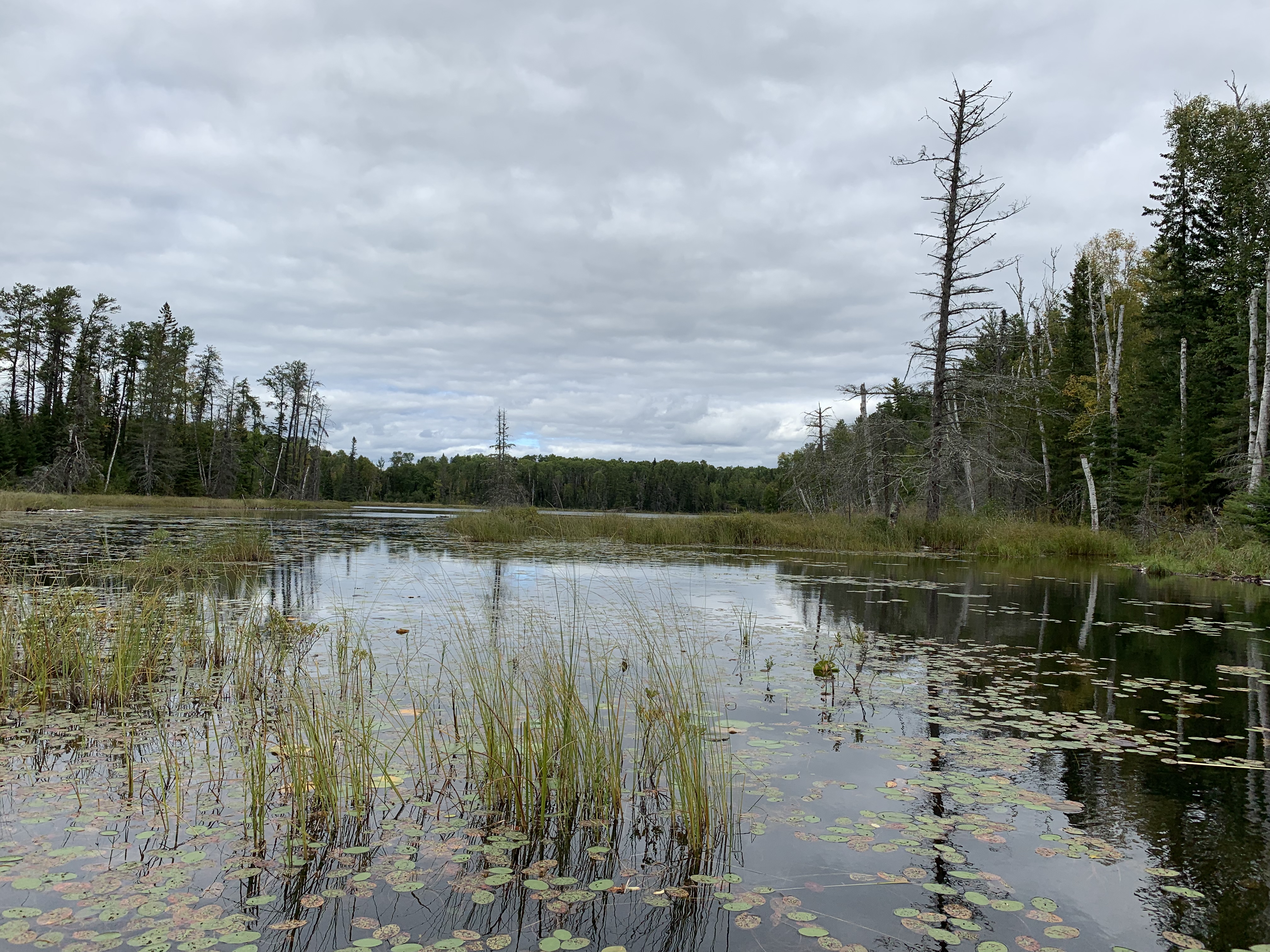
There is a single campsite on this lake along the north shore just east of the middle of the lake. The campsite is marked by a large boulder next to the fire pit. Campsite has a mediocre landing and is somewhat small in area. Good views of most of the lake. You will see plenty of canoes paddle by as the campsite is on a busy route.
The three portages along the creek in the gorge between Mudro Lake and Fourtown Lake are very rocky. Sections of these portages, particularly the first and last 30 rod portage could be underwater during high water levels. There were many bald eagles here in springtime. There are some lovely views to be had along these portages.
Sandpit Lake seems to be fed by springs and run off from the surrounding terrain as there are no obvious sources of water flowing into the lake. Sandpit Lake itself drains out through a small creek into the Range River which flows toward Basswood Lake.
References:
Beymer, Robert, Boundary Waters Canoe Area – Volume 1 – Western Region (Berkeley: Wilderness Press, 2006), 135, 140, 146, 168.
Heinselman, Miron, The Boundary Waters Wilderness Ecosystem (Minneapolis: University of Minnesota Press, 1999), 103.
Pauly, Daniel, Exploring the Boundary Waters (Minneapolis: University of Minnesota Press, 2005), 151.
Click on the photos below to see the full resolution image - Use your browsers back button to close photo and return to this page.
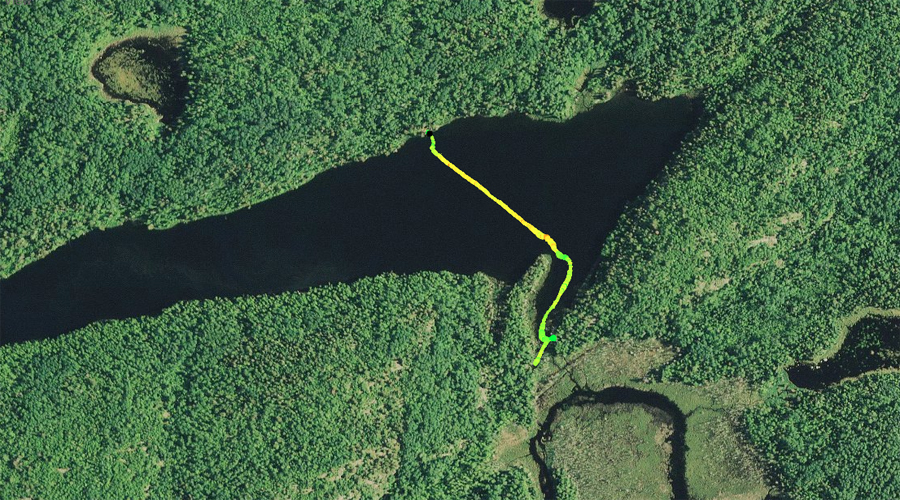
PADDLING FROM THE MUDRO LAKE PORTAGE TO THE LAKES ONLY CAMPSITE
The north shore of Sandpit Lake looking toward the east. Your vantage point is from near the west end of Sandpit Lake.
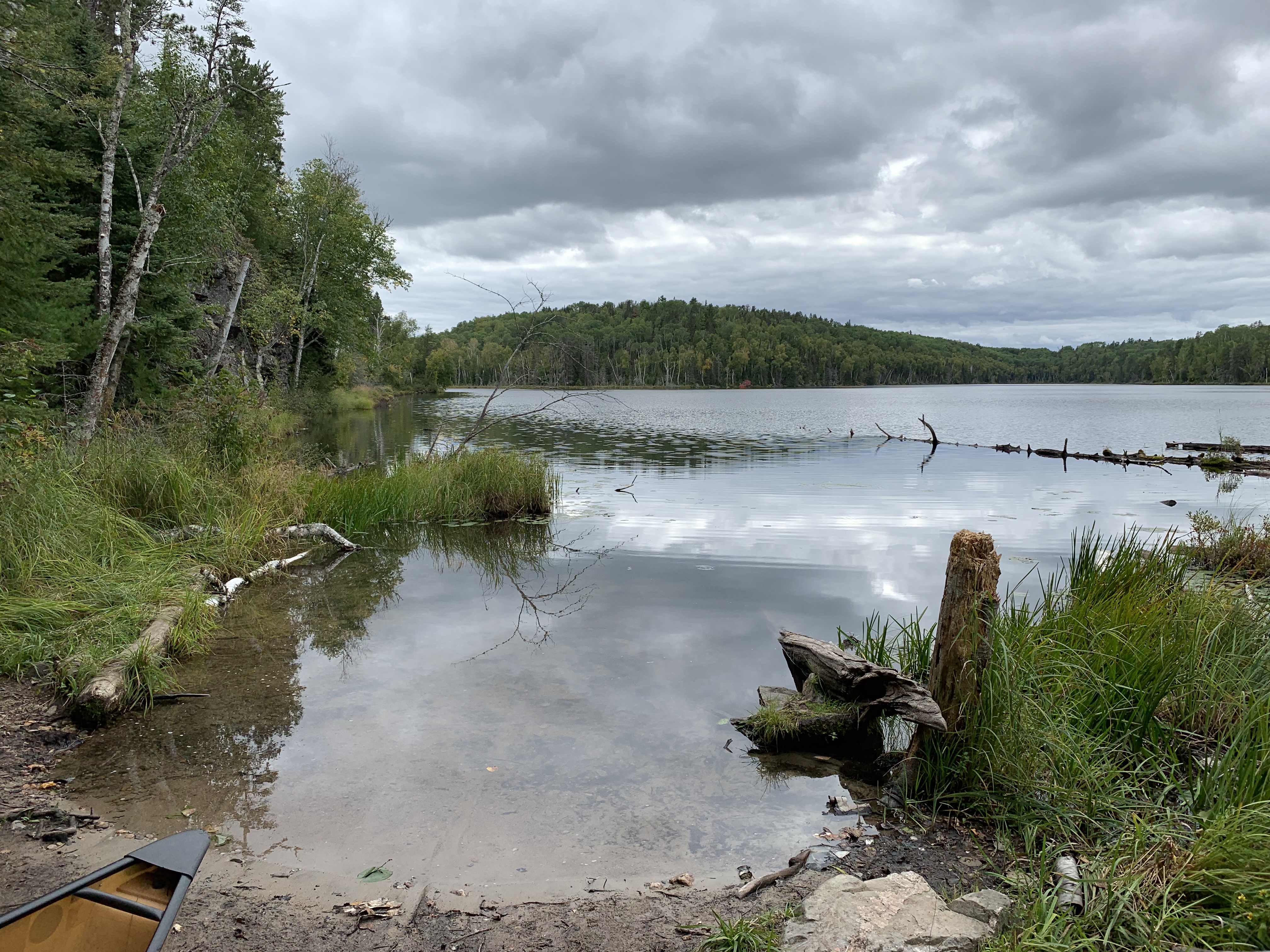
After leaving the Mudro Lake portage, you follow the north shore of the lake to the east until you reach the lakes only campsite.
A look back over your shoulder to the west, as you paddle eastward along the north shore of Sandpit Lake.
A very functional campsite along the north shore of the lake. The campsite is sort of long and narrow. A large boulder next to the fire pit is its signature feature. Visit the Campsite -or- Explore Another Route ***********************************************END OF ROUTE***********************************************
PADDLING FROM LAKES ONLY CAMPSITE TO THE RANGE LAKE/RANGE RIVER PORTAGE
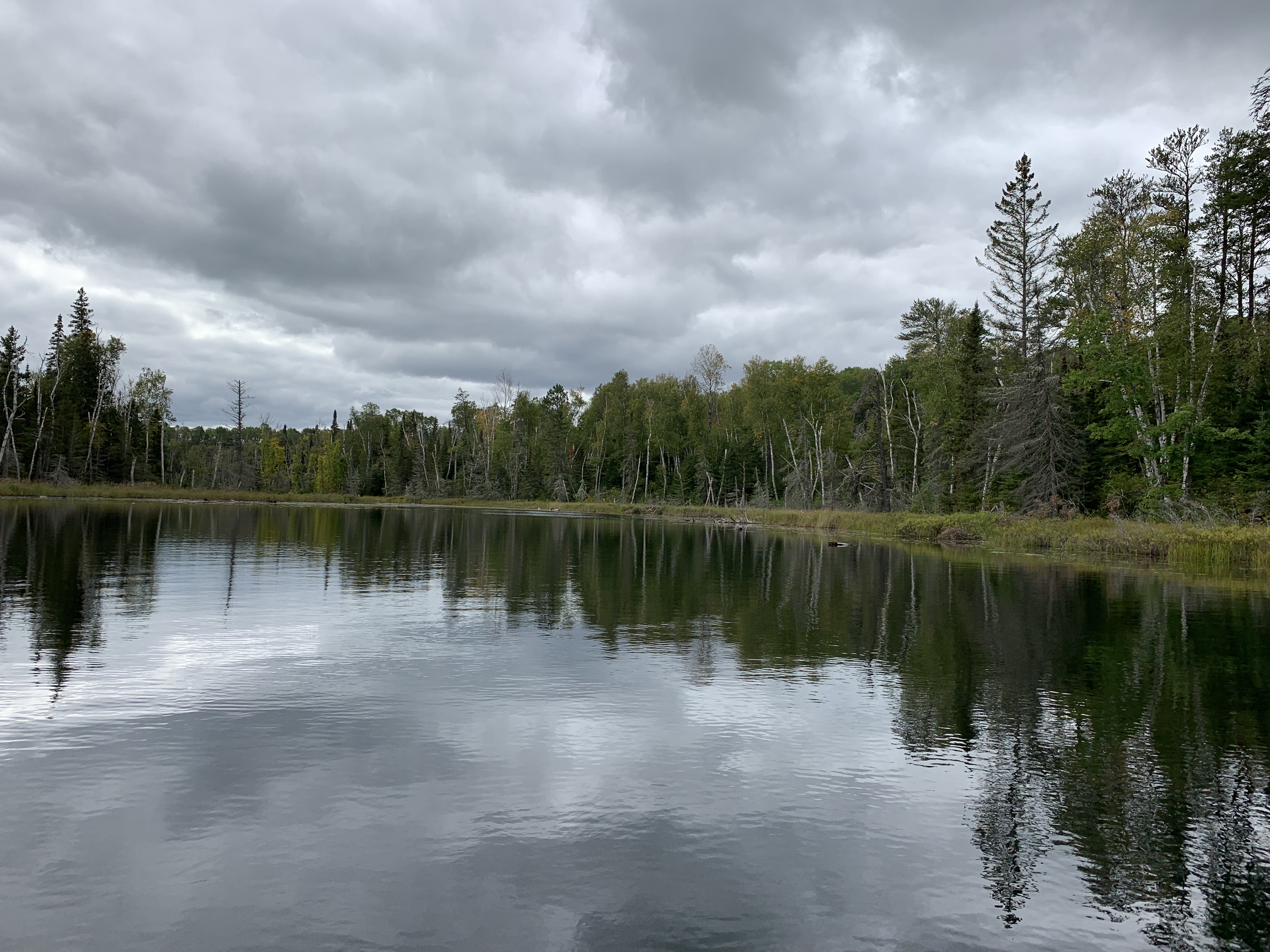
A view into the bay where the portages to Range Lake and the Range River are found. Note that the portage is at the very south end of this bay. There is a false portage maybe 150 feet north of the real portage along the east shore that heads off into a swamp. Don't go that way. Many people have obviously tried that route (including the person writing this), as there is a trail that soon peters out into thigh deep mud.
Starting at the campsite, you cross Sandpit Lake and head into the lake's southeast bay. Here you find the Range Lake portage. This is also the portage to the Range River if you are heading to Basswood Lake. The portage for the Range River is about 15 rods down the Range Lake portage. Take a left when you get there. Portage to Range Lake -or- Portage to the Range River -or- Explore Another Route ***********************************************END OF ROUTE***********************************************
PADDLING FROM THE RANGE LAKE/RANGE RIVER PORTAGE TO THE TIN CAN MIKE LAKE PORTAGE
View of Sandpit Lake from the end of the Range Lake portage. View is to the north.
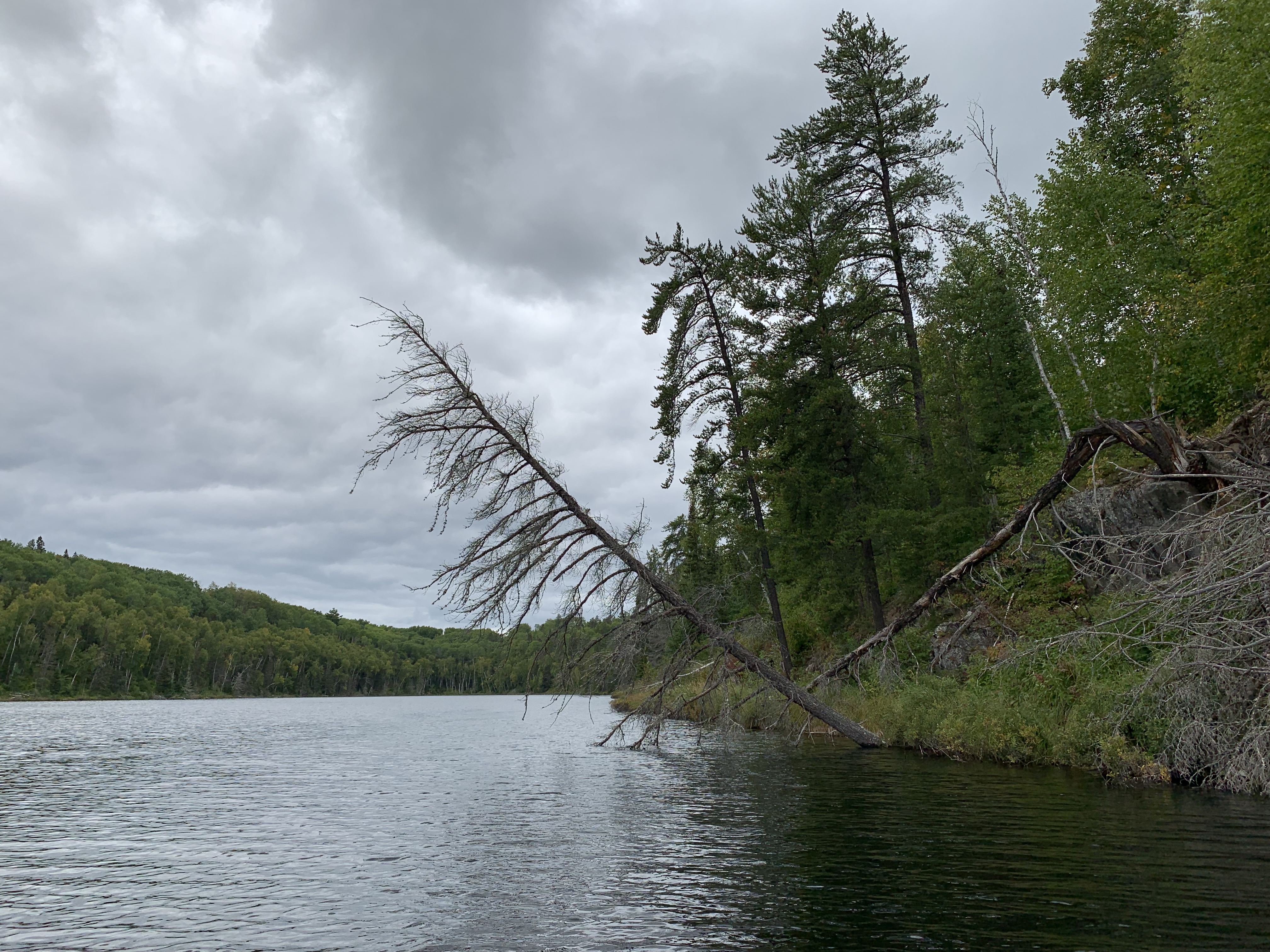
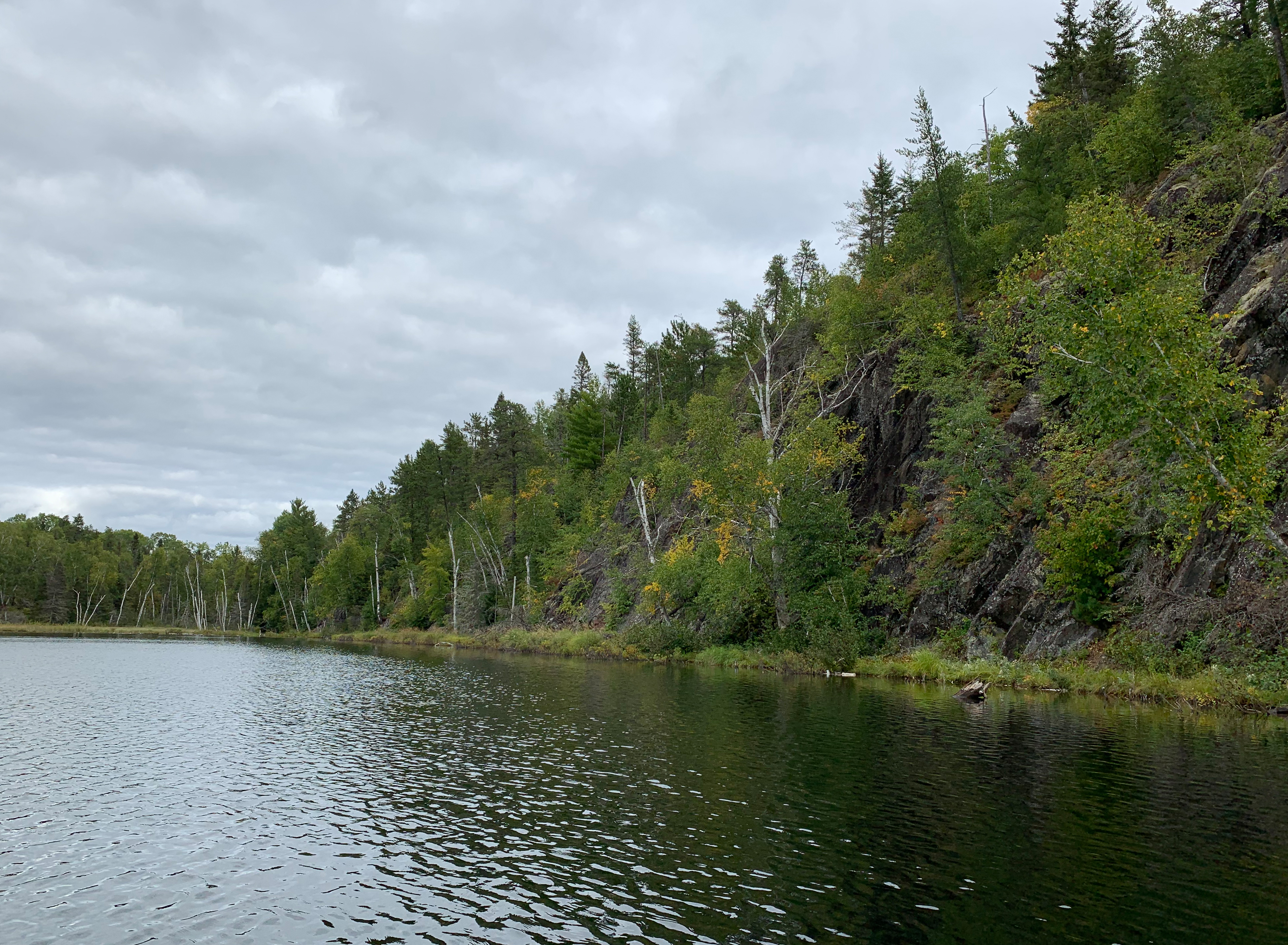
A quick paddle up the eastern shoreline of Sandpit Lake from the Range Lake and Range River portage to the Tin Can Mike Lake portage. You paddle beneath a steep rock face along the way.
Some of the cliff along the east shoreline of Sandpit Lake is visible to your right. The portage to Tin Can Mike Lake is visible at the low point along the horizon toward the left of your view. Portage to Tin Can Mike Lake -or- Explore Another Route ***********************************************END OF ROUTE***********************************************
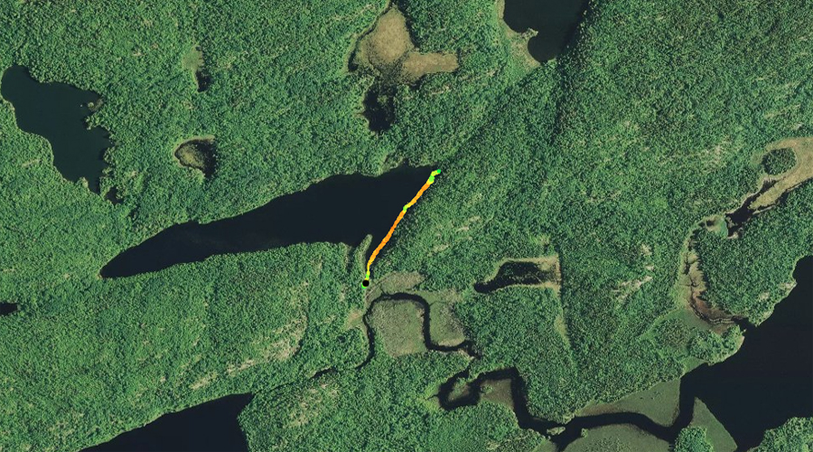
PADDLING FROM THE TIN CAN MIKE LAKE PORTAGE TO THE MUDRO LAKE PORTAGE
Looking west from the Tin Can Mike Lake portage landing of Sandpit Lake.
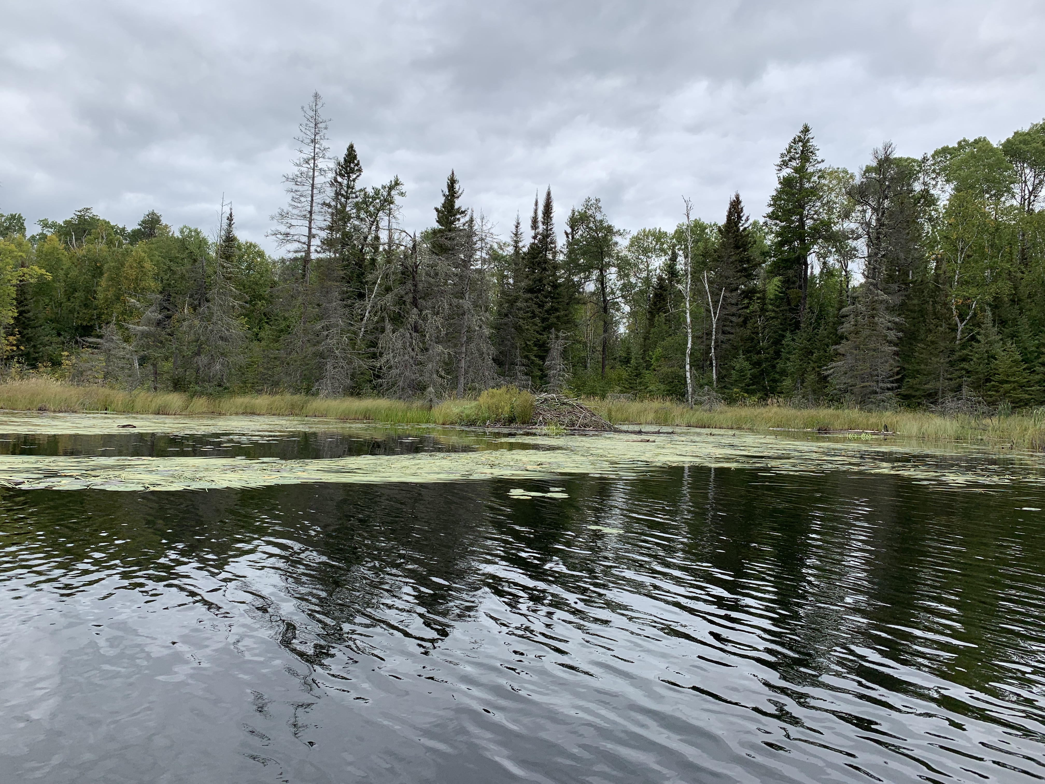
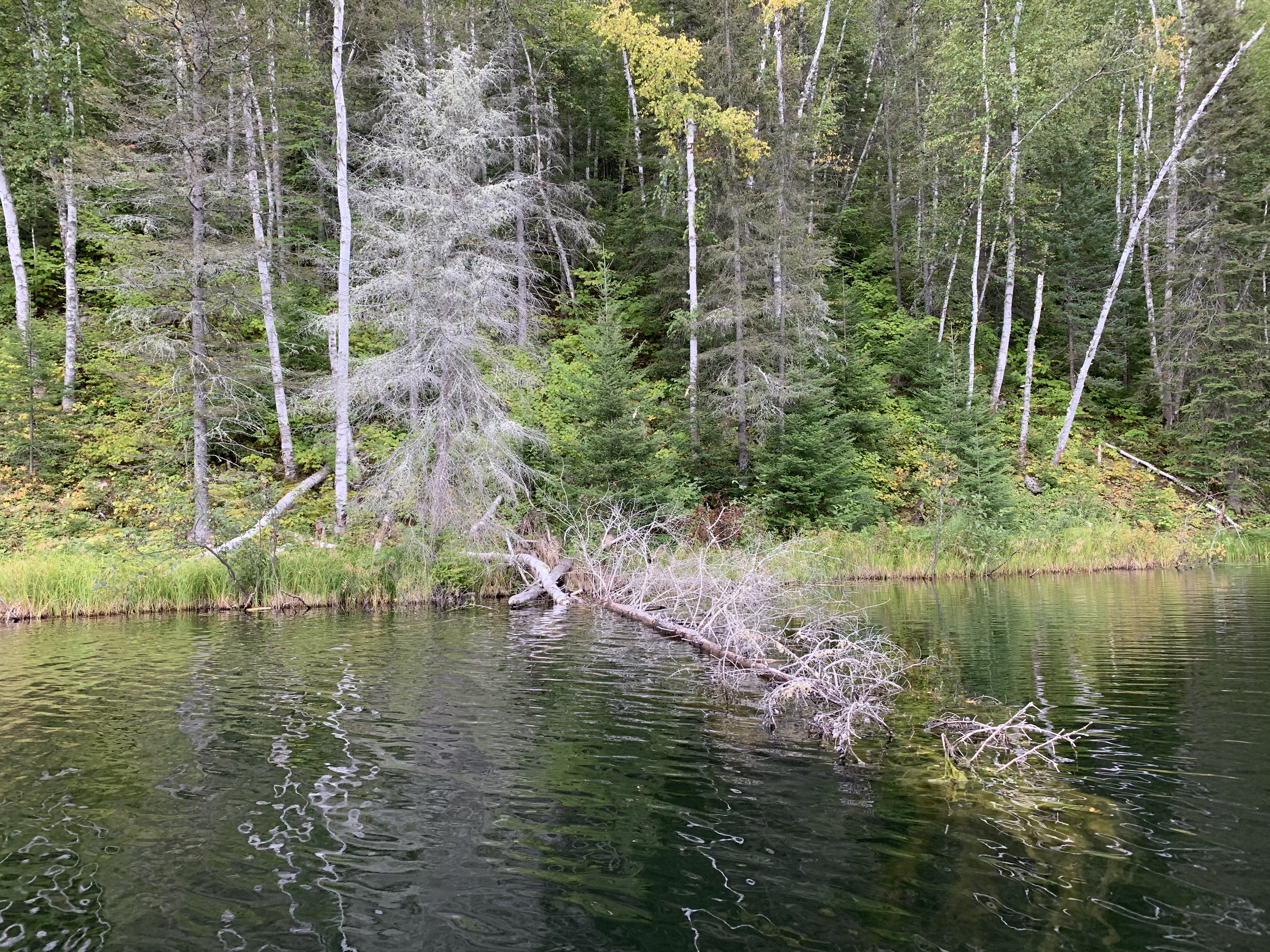
Beaver lodge near the east end of Sandpit Lake along the north shore.
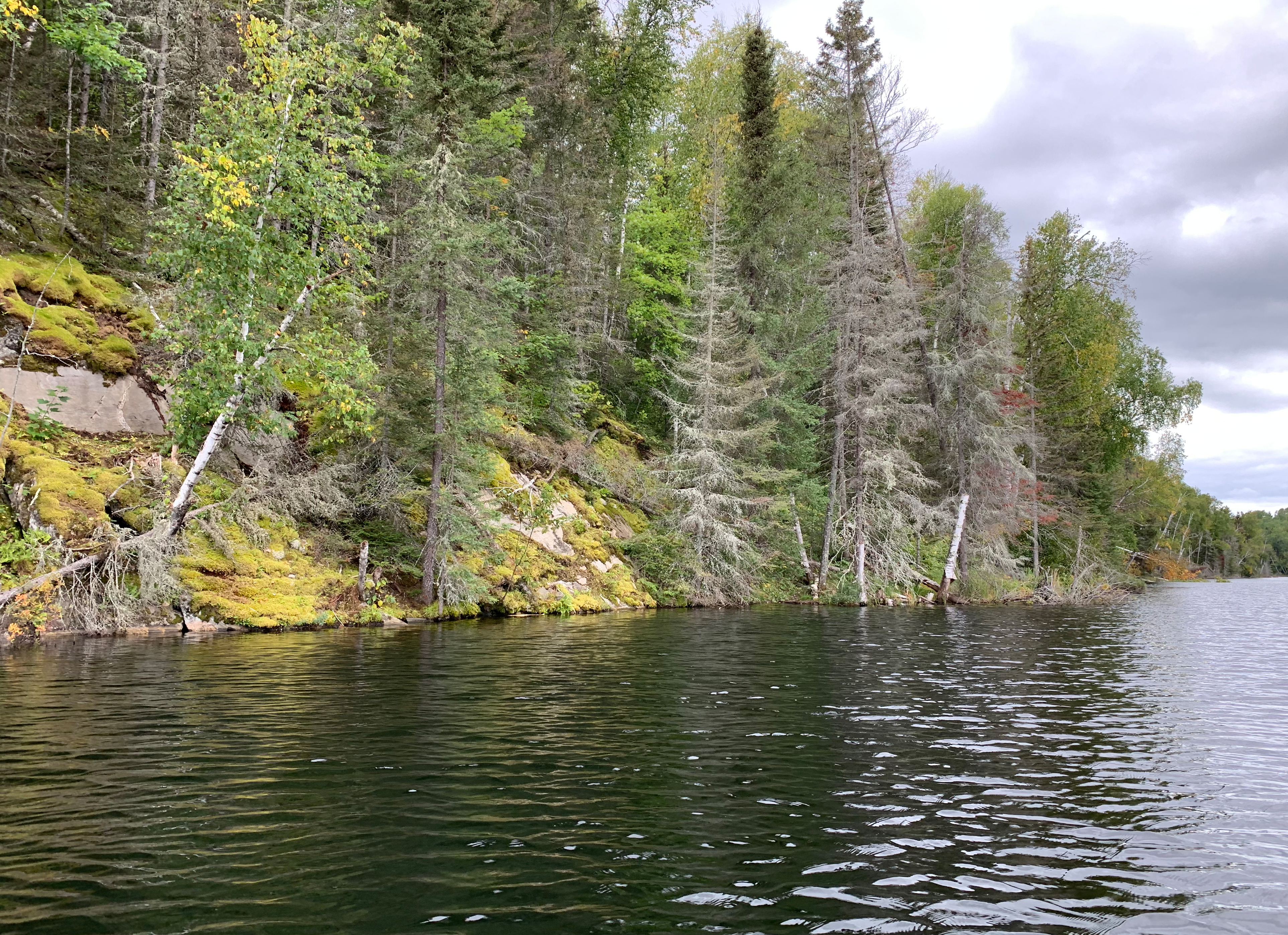
Extensive moss growth can been seen in the forest along south shoreline of Sandpit Lake. The south shore of the lake is quite steep, so little sunlight reaches this area, creating the shady environment that mosses prefer.
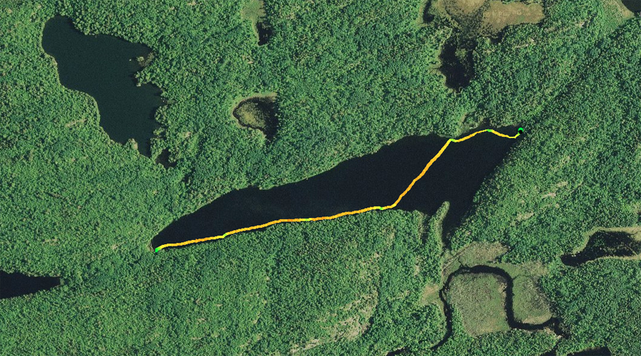
Paddling the entire length of Sandpit Lake from the east to the west. You start off at the Tin Can Mike Lake portage, follow the north shoreline west until you are about one-third of the way down the lake. From there you cross the lake and then follow the south shore of Sandpit Lake, until you reach the Mudro Lake portage.
South shore of Sandpit Lake, not far east of the Mudro Lake portage. Portage to Mudro Lake -or- Explore Another Route ***********************************************END OF ROUTE***********************************************
Route Connections for Sandpit Lake
From Sandpit Lake, you can portage to Mudro Lake, Range Lake, the Range River or Tin Can Mike Lake. You may also be able to bushwhack along a faint trail to Alruss Lake (did not find this trail - it is indeed faint). Alruss Lake is a designated trout lake stocked by the Minnesota Department of Natural Resources with brook trout. Another easier way to access Alruss Lake is from Fourtown Creek.