BURNT LAKE CAMPSITES: Campsite 1: (#2311, maybe #2234) -Northernmost campsite on the lake behind the two small islands. Campsite 2: (#925) - On the point almost due east of the Smoke Lake portage
Campsite 3: (#924) - On the point to the southeast of the Smoke Lake portage
Campsite 4: (#923) - On the island northwest of the Kelly Lake portage
Campsite 5: (#926) - Middle of the east shoreline north of the Kelly Lake portage
Campsite 6: (#822) - South end of the lake near where Burnt Creek flows in
Campsite 7: (#922) - Was just east of the Flame Lake portage. CLOSED
Burnt Lake is the largest of the three "fire chain" lakes. The other two being Smoke Lake and Flame Lake.
Burnt Lake is along a route leading from the Sawbill Lake entry point to the Temperance River (Kelly Lake) and then over to the Baker Lake entry point. Therefore, this lake gets a fair amount of traffic as it is equidistant between the two entry points. Be prepared to grab a campsite early.
Burnt Creek, which flows out of the south end of the lake, is navigable for at least a little ways in case you want to explore it. It flows out of the BWCA's boundaries about a half-mile downstream from the lake. Drainage from Burnt Lake is via Burnt Creek which flows to the south. Burnt Creek eventually flows (after about three miles) into Sawbill Creek, which in turn drains into the Temperance River outside of the BWCA. An old forest trail used to cross the creek near there. You are actually only about 1,000 feet from Forest Road 1273 at that point. Civilization is never very far away it seems.
A large hill rises to 1,986 feet just to the east between Burnt Lake and Kelly Lake and provides a nice backdrop in that direction. A second hill is visible to the northeast of the lake and has an elevation of 2,022 feet.
Flame Lake lies to the north of Burnt Lake and there is a decent portage between the two lakes of 60 rods. The 230 rod portage between Burnt Lake and Kelly Lake should not be underestimated. It has an elevation gain of over 100 feet if coming from Kelly Lake and a rise of nearly 70 feet if starting at the Burnt Lake end. In addition, there are several up and down sections.
Logging was extensive in this area as recently as the early 1960's. There are several old logging roads that show up on topographic maps of this area. These roads run to the west, the south and to the east of Burnt Lake.
Click on the photos below to see the full resolution image - Use your browsers back button to close photo and return to this page.
PADDLING FROM THE KELLY LAKE PORTAGE TO THE SMOKE LAKE PORTAGE
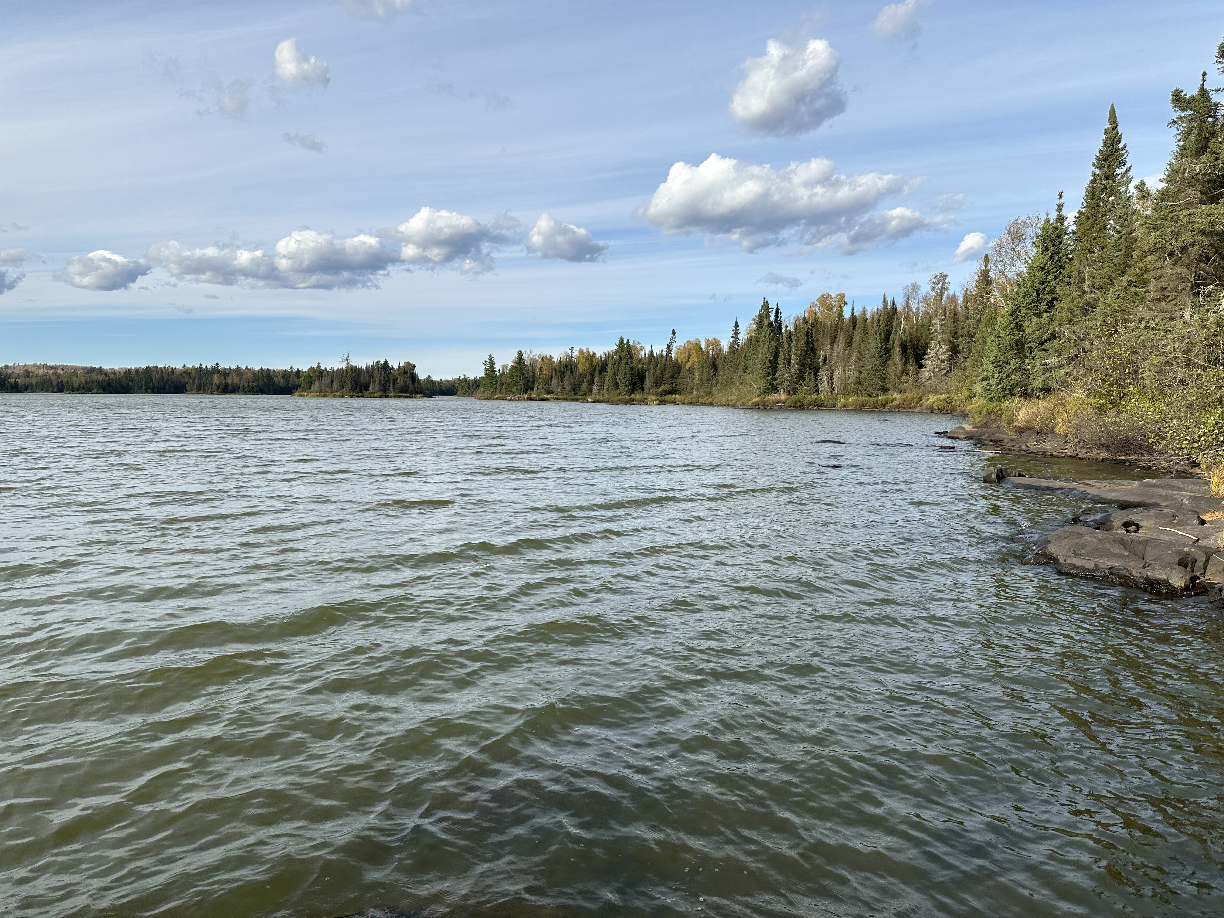
Looking north from the Kelly Lake portage (October 6, 2024).
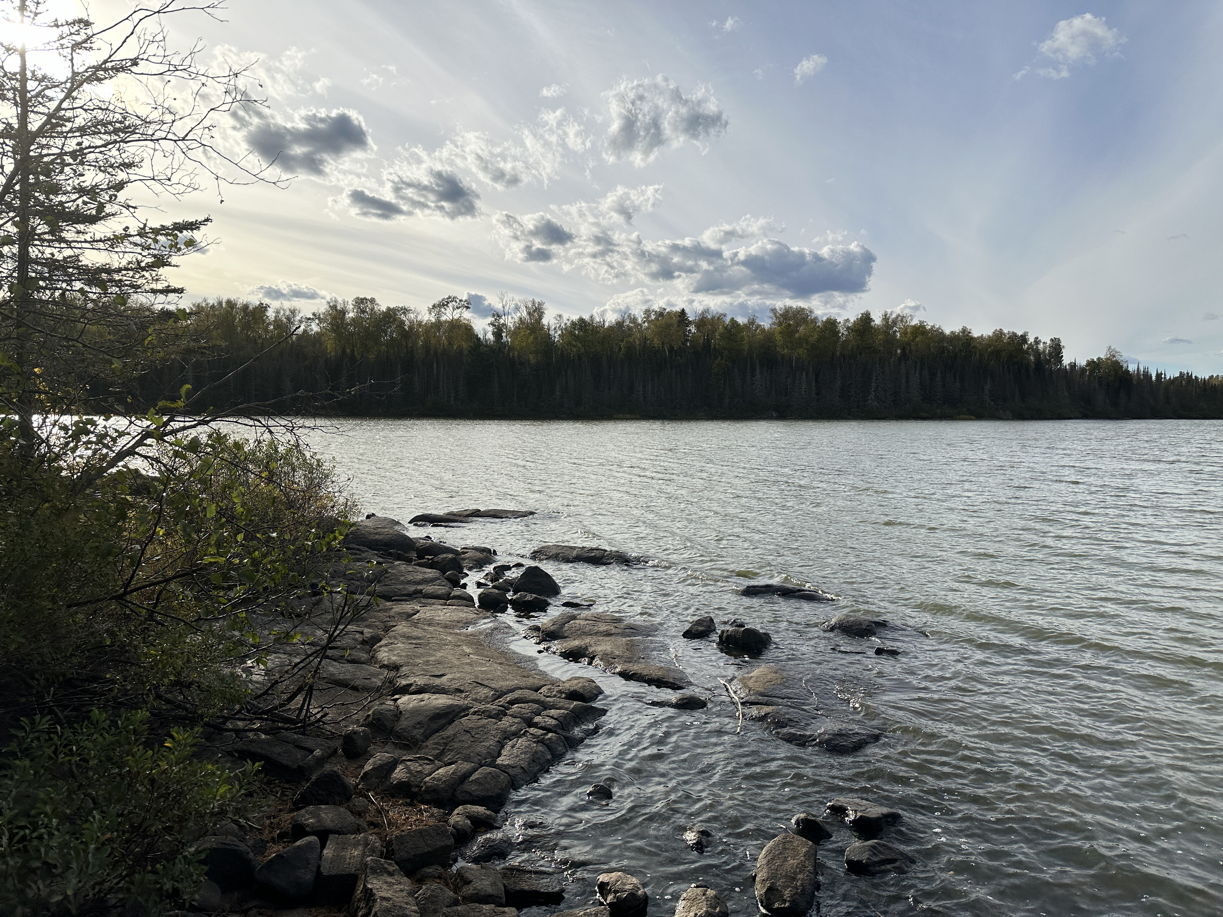
This view is to the west/northwest from the Kelly Lake portage landing (October 6, 2024).
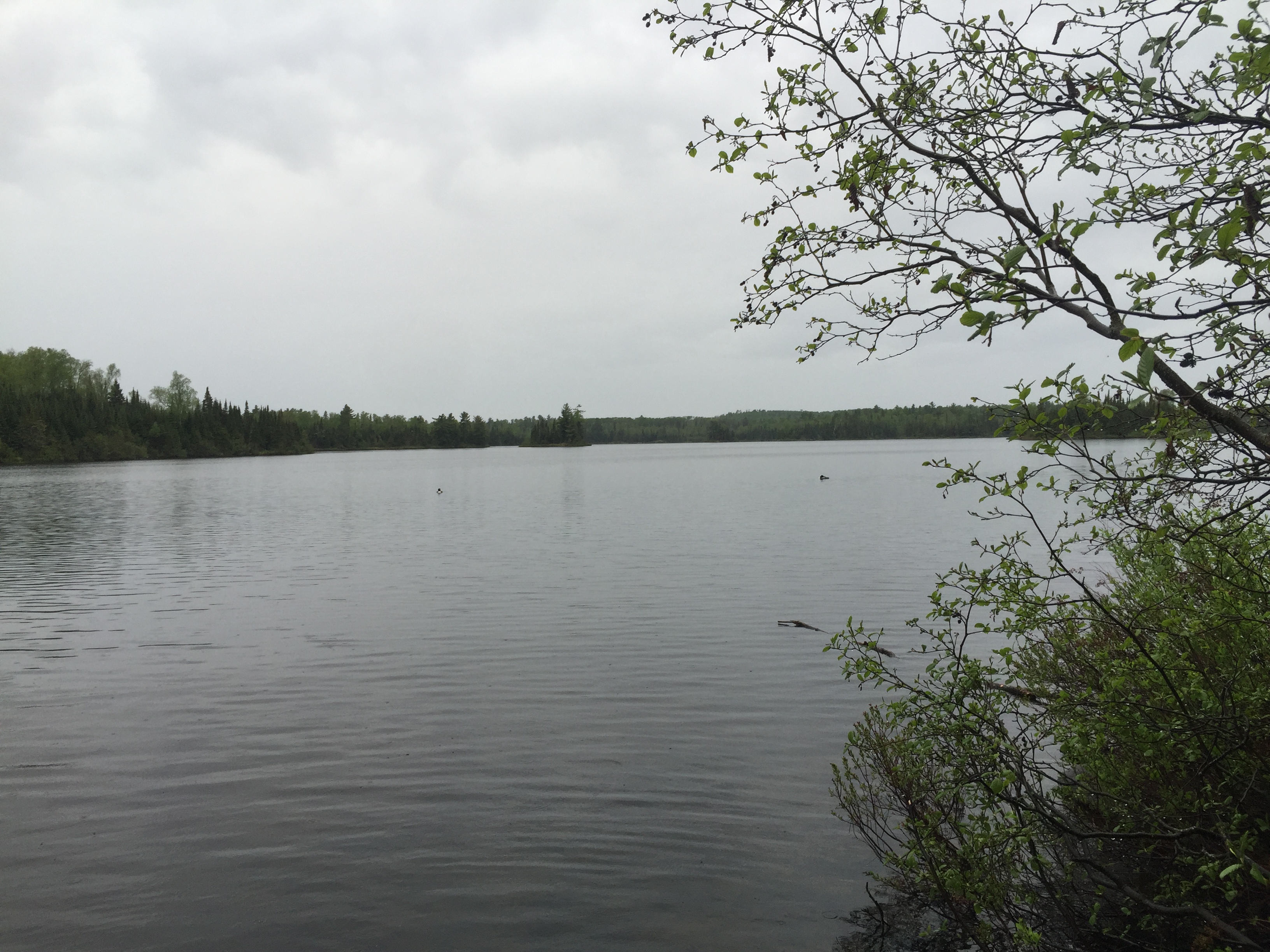
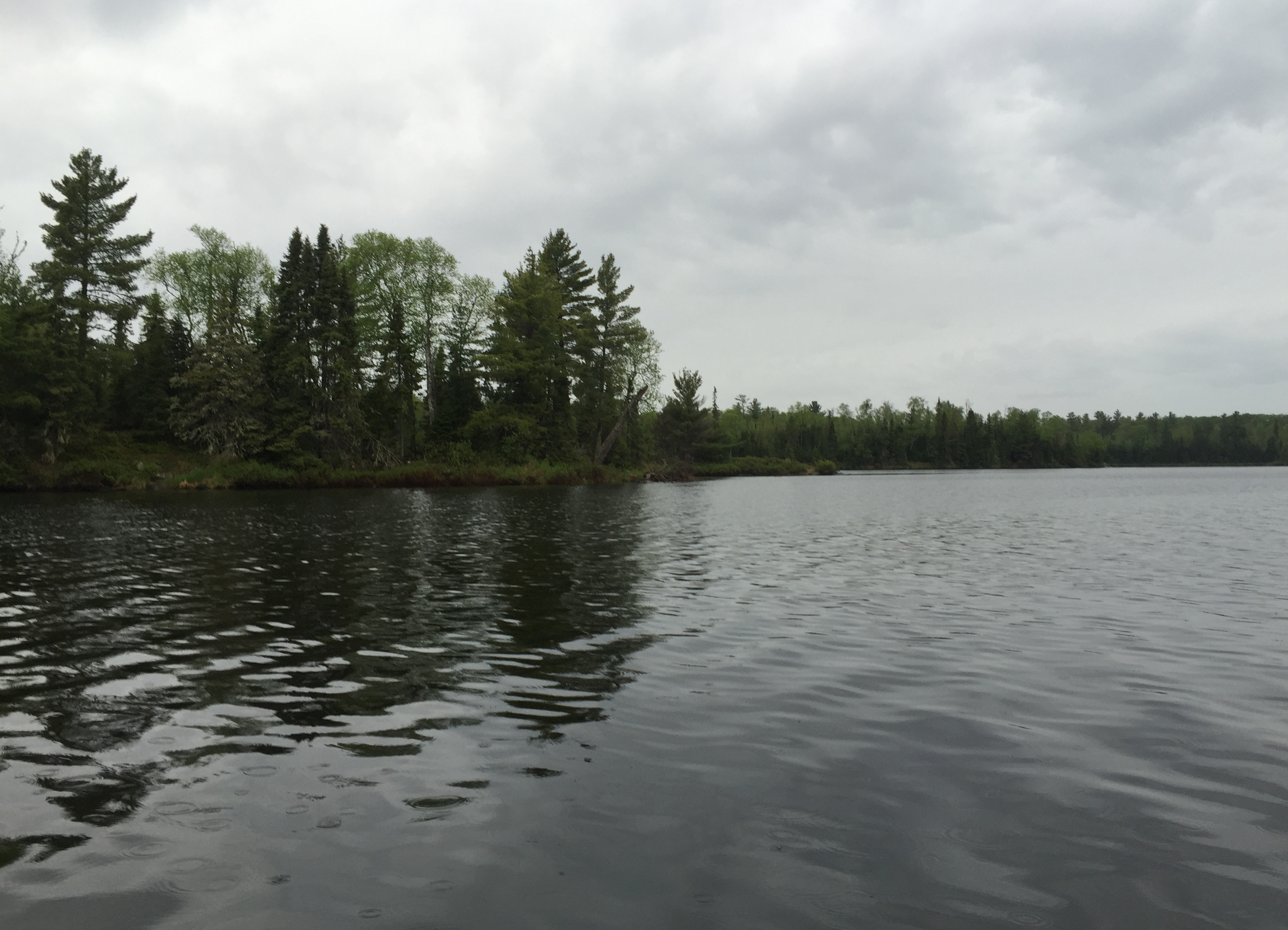
Peering through a light rain to the west across Burnt Lake. A couple loons bobbing on the lake to keep you company. View from the Kelly Lake portage (May 27, 2016).
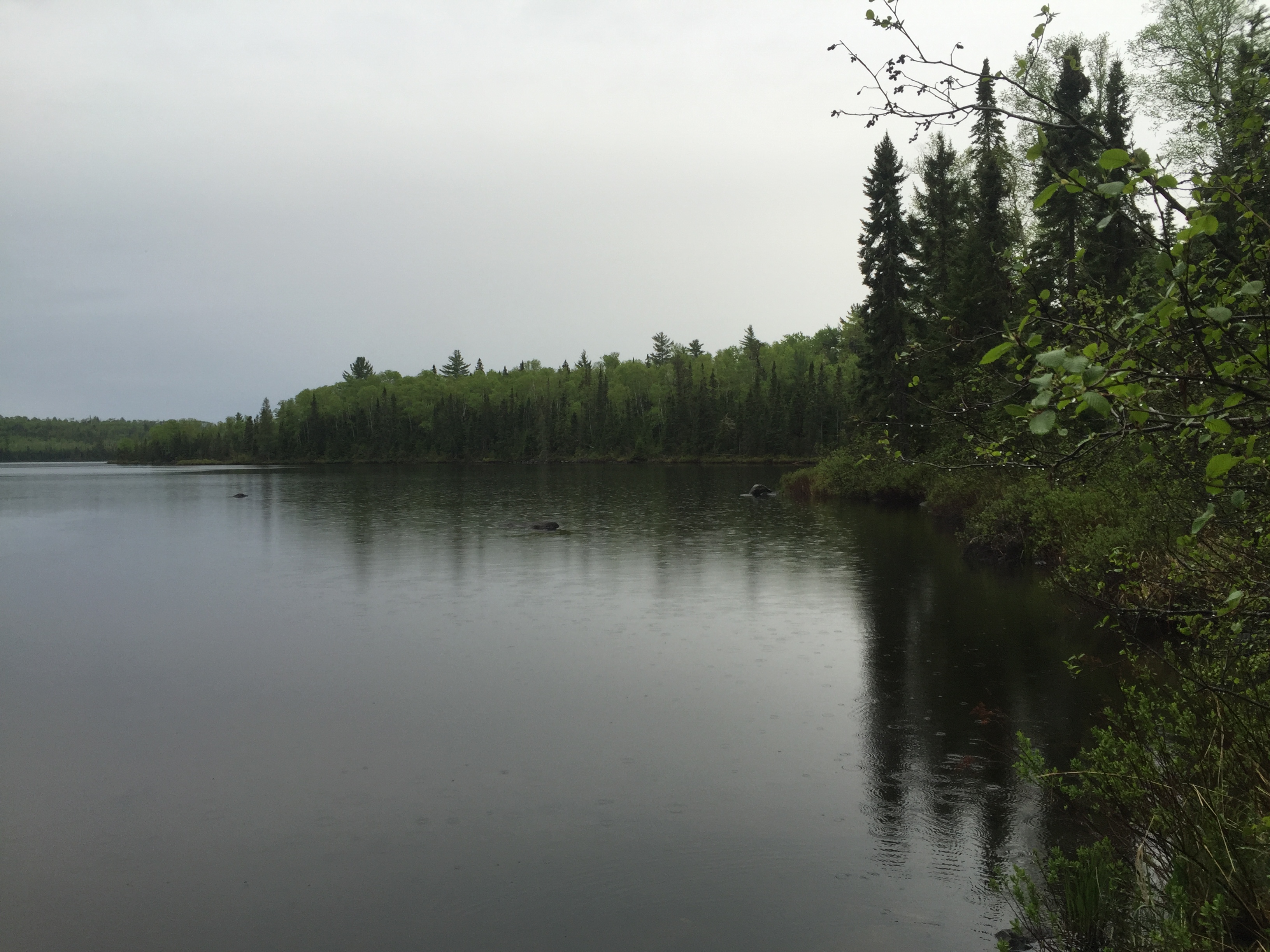
Looking up the eastern shoreline toward the north on Burnt Lake. This is from near the Kelly Lake portage (May 27, 2016).
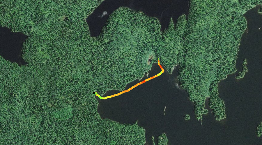
A rainy day paddle starting from the Kelly Lake portage and paddling generally west/northwest across the middle of Burnt Lake. You paddle just north of the largest mid-lake island. The line is pretty direct from the Kelly Lake portage over to the Smoke Lake portage (May 27, 2016).
A point near the start of the northwest bay of the lake along the west side of Burnt Lake (May 27, 2016). Portage to Smoke Lake -or- Explore Another Route ***********************************************END OF ROUTE***********************************************
PADDLING FROM THE SMOKE LAKE PORTAGE TO THE FLAME LAKE PORTAGE
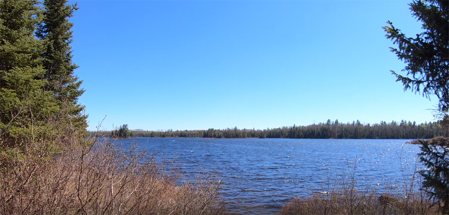
Burnt Lake as seen from the Smoke Lake portage (May 21, 2020).
The water is shallow along most of the short route between these two portages. Lookout for boulders just below the surface that could damage your canoe or cause you to flip. The water is clear, so they are easy to see, just lots of them (May 21, 2020).
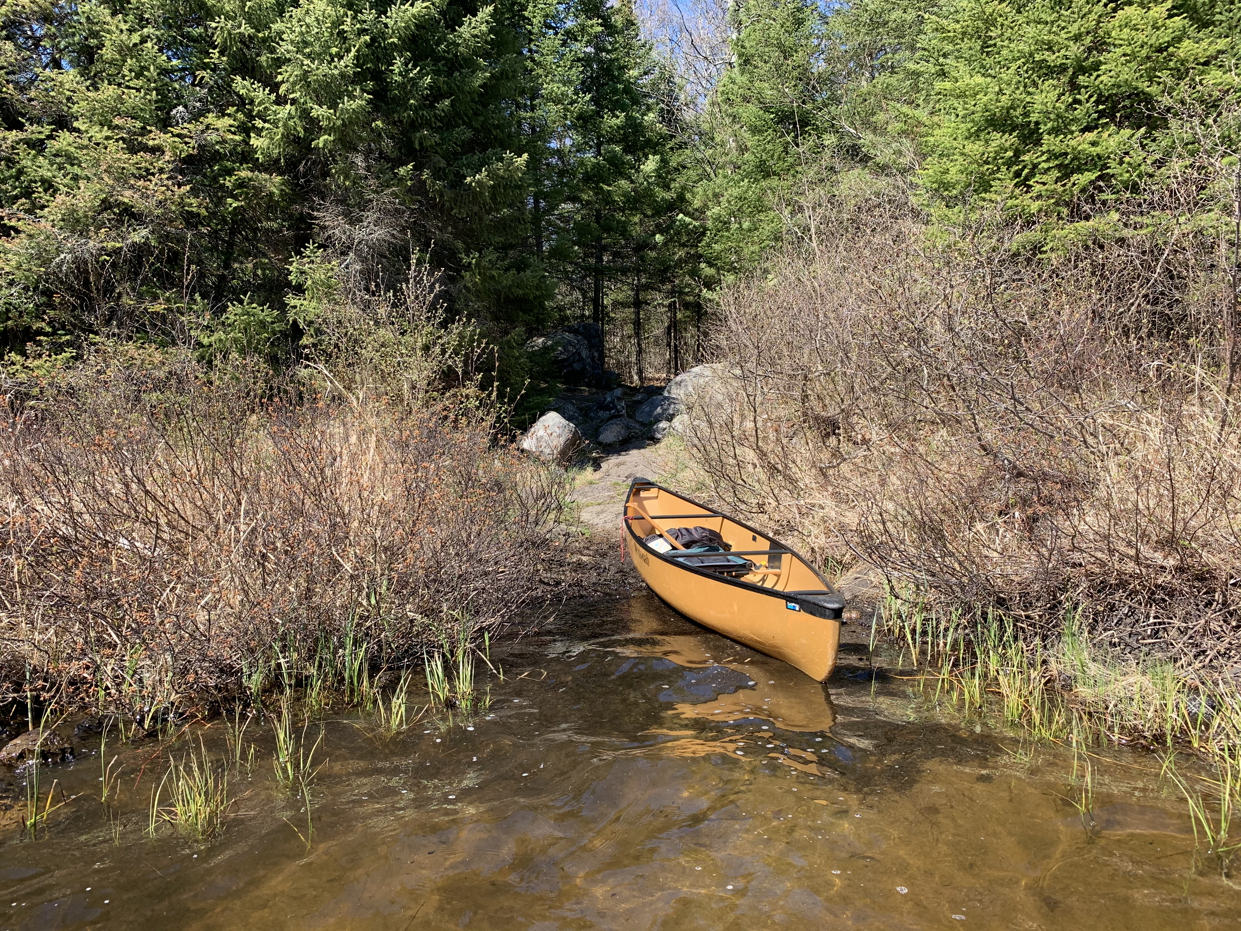
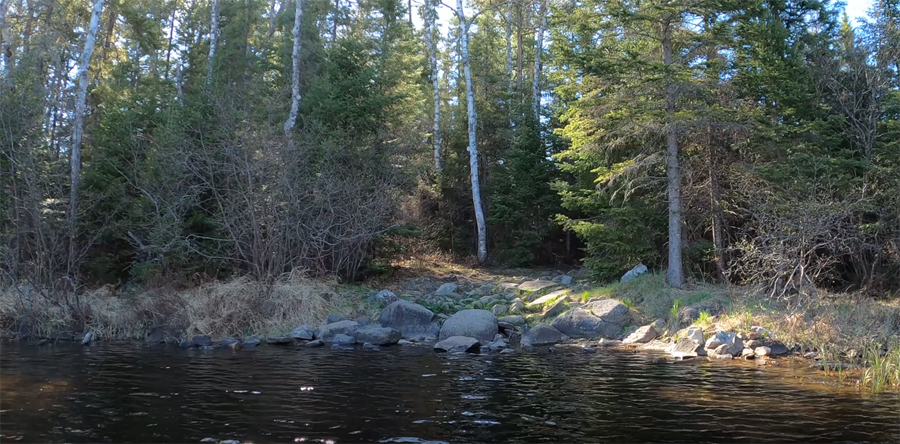
The start of the Flame Lake portage (May 21, 2020). Portage to Flame Lake -or- Explore Another Route ***********************************************END OF ROUTE***********************************************
PADDLING FROM THE FLAME LAKE PORTAGE TO THE SMOKE LAKE PORTAGE
Getting ready to launch out into Burnt Lake from the Flame Lake portage (May 21, 2020).
Making the short paddle between these two portages. The water is clear revealing a plethora of large boulders just under the waves. Take care not to collide with one of these rocks while paddling this stretch (August 4, 2025).
Older video footage of this route (May 21, 2020).
Approaching the Smoke Lake portage (May 21, 2020). Portage to Smoke Lake -or- Explore Another Route ***********************************************END OF ROUTE***********************************************
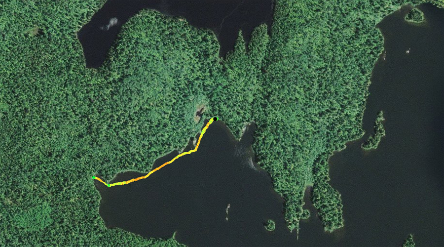
PADDLING FROM THE SMOKE LAKE PORTAGE TO THE KELLY LAKE PORTAGE
This is a somewhat scenic route between these two portages, not direct. The route leaves the Smoke Lake portage landing and heads southward down into the southmost bay of Burnt Lake. From there the route navigates along the south shore of the lake, eventually arriving at the Kelly Lake portage (August 4, 2025).
PADDLING FROM THE KELLY LAKE PORTAGE TO BWCA CAMPSITE 2311
This route follows the eastern shoreline of Burnt Lake from the Kelly Lake portage to BWCA Campsite 2311, passing by the occupied BWCA 926 campsite along the way. BWCA Campsite 2311 is located at the north end of the lake behind the two small islands (August 4, 2025).
PADDLING FROM BWCA CAMPSITE 2311 TO BWCA CAMPSITE 925
Paddling southbound along the west shoreline of Burnt Lake. Route begins at the campsite which is at the north end of the lake and ends at BWCA Campsite 925 which is situated on the mid-lake point (August 4, 2025).
PADDLING FROM BWCA CAMPSITE 925 TO THE FLAME LAKE PORTAGE
A quick paddle towards the northwest along the northeast side of the western bay of Burnt Lake, which contains both the Smoke Lake portage and the Flame Lake portage (August 4, 2025).