CHEROKEE LAKE CAMPSITES: Campsite 1 (#893): Campsite on the north end of large island in north end of lake.
Cherokee Lake is the primary destination lake in this area. There are many campsites on this lake, but not all campsites are created equally. Therefore if you want one of the better campsites on the lake, you may want to stake out a camp early in the day. The lake serves as a hub for several other routes. From the north end of Cherokee Lake you can head into Gordon Lake. This is the way up to Long Island Lake and the Frost River area. The eastern side of the lake has two routes. The northern route eventually leads to Brule Lake. This is a very rugged route with only a single campsite all the way to Brule Lake. The southern route going east from Cherokee Lake takes you over to the Temperance River. Cherokee Lake also provides a route to the south, which eventually leads to Sawbill Lake.
A decent population of lake trout is available in this lake. Cherokee Lake is one of the deepest lakes in the BWCA. Northern pike are also in this lake..
There are a number of smaller lakes, particularly along the west shoreline of Cherokee Lake that do not have portages yet are still relatively accessible. Ranger Lake used to have a maintained portage and remnants of that portage are probably still intact. It used to show as 80 rods on maps. Sniff Lake near the southwest corner of Cherokee Lake can also be visited with relatively little effort. Snip Lake beyond that too. There are other possibilities as well for the more adventurous.
Cherokee Lake is fed from the south by Cherokee Creek. Sniff Lake drains its small watershed into the lake through a little creek too, near the southwest corner of the lake. Further north up the west shore a creek from Ranger Lake drains into Cherokee Lake. The U.S. Forest Service had a small cabin near the north end of Cherokee Lake (Hansen, 2007) which survived the 1936 fire. This could explain by Ranger Lake has its name. This cabin was removed in the 1960's shortly after The Wilderness Act was passed in 1964. A fellow named Ray Gervais of Tofte, Minnesota owned some land in the southwest corner of Cherokee Lake on the point before the passage of The Wilderness Act. He had a dining hall and three cabins located there.
From the northeast comes the water of Town Lake, through a narrow creek by the portage. Finally, Snub Lake's water passes into Cherokee Lake through a connecting stream. Cherokee Lake itself drains to the north into Gordon Lake. Cherokee Lake may be the source of the Long Island River.
A massive fire struck this area around 1875 that ultimately burned about 178,560 acres; the second largest known wildfire in the BWCA in recorded history (Heinselman, 1999). Another fire started by lightning occurred on July 11, 1936 near the Gordon-Cherokee Lake portage. This fire burned the north side of Cherokee Lake. The fire then changed direction and leapt over the eastern bay of Cherokee Lake and headed south toward North Temperance Lake (Heinselman, 1999). The fire was out by late July.
Another fire in 1936 started on August 12th, known as the Frost Lake fire. This fire burned between 3200 and 3400 acres (relatively small) between Gordon Lake and Long Island Lake. The fire took about a month to extinguish. Some mention of these 1936 fires is detailed in the book Sawbill: History and Tales by Mary Alice Hansen (Hansen, 2007).
Logging occurred near the south end of Cherokee Lake as late as the 1960's (Heinselman, 1999). This cutting was part of the West Tofte Sale which was completed in 1959 to St. Regis Paper Company. The smaller East Tofte Sale as included timber along Cherokee Lake. This sale was done in 1961 (Heinselman, 1999).
References:
Beymer, Robert, Boundary Waters Canoe Area – Volume 2 – Eastern Region (Berkeley: Wilderness Press, 2006), 58, 60, 68, 77, 95, 110, 117, 118, 133, 139, 151.
Hansen, Mary Alice, Sawbill: History and Tales (Tofte: Sawbill Press, 2007)
Heinselman, Miron, The Boundary Waters Wilderness Ecosystem (Minneapolis: University of Minnesota Press, 1999), 56, 70, 119, 120, 122, 141, 150, 154, 200.
Pauly, Daniel, Exploring the Boundary Waters (Minneapolis: University of Minnesota Press, 2005), 251, 272, 273.
Click on the photos below to see the full resolution image - Use your browsers back button to close photo and return to this page.
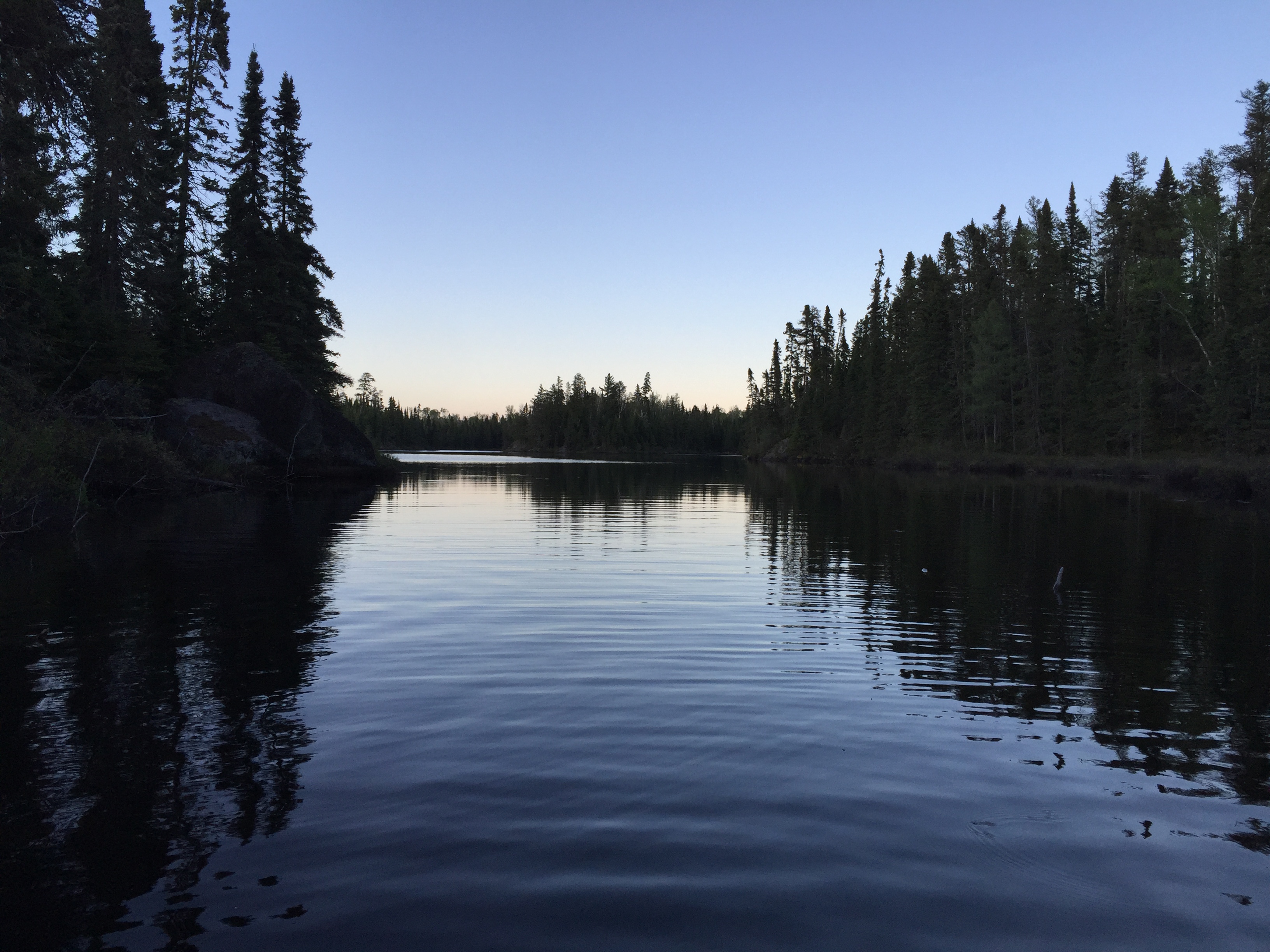
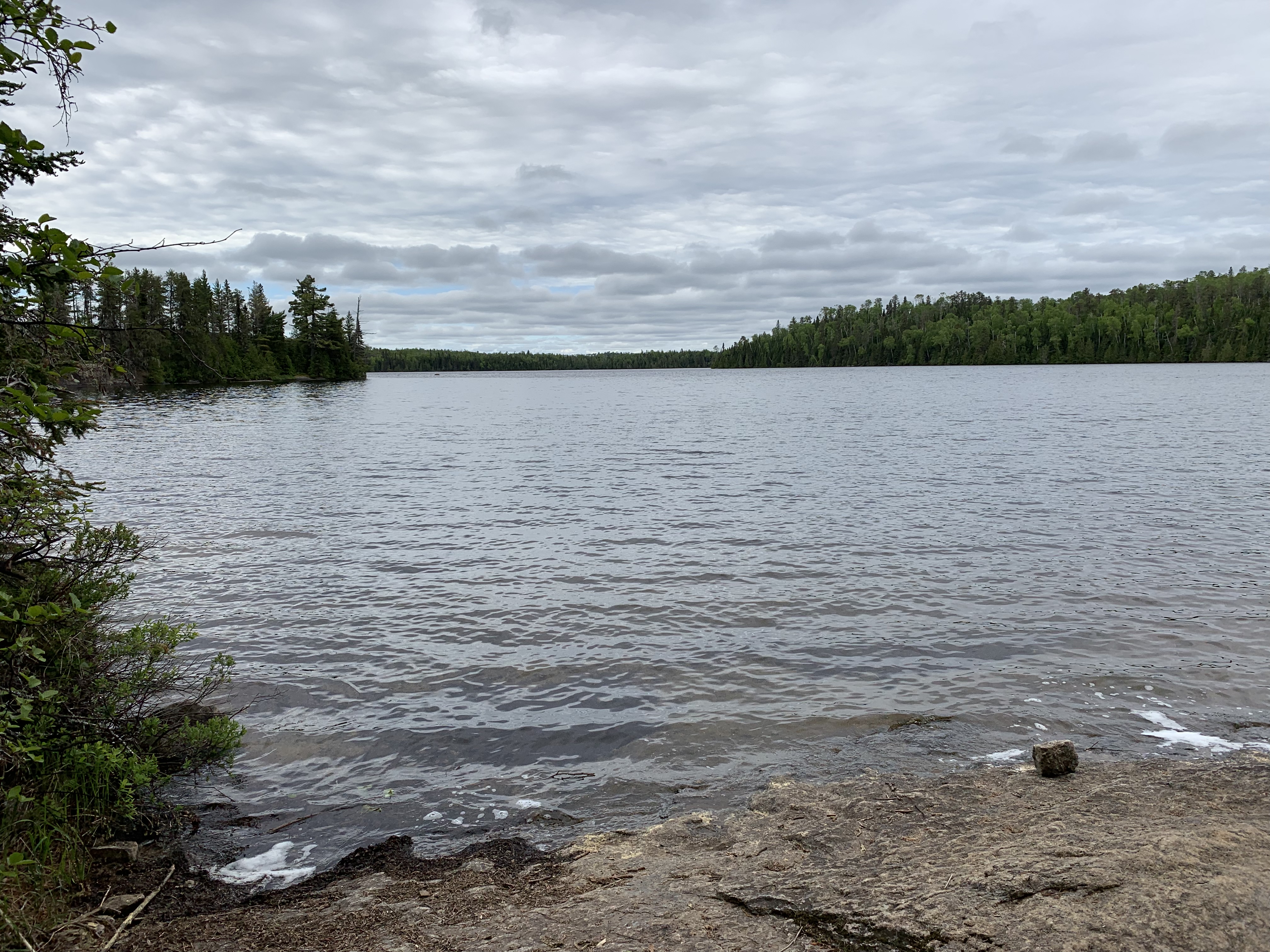
VIEW OF CHEROKEE LAKE FROM THE MOUTH OF CHEROKEE CREEK
Looking into Cherokee Lake from the mouth of Cherokee Creek at dusk. Explore Another Route ***********************************************END OF ROUTE***********************************************
PADDLING FROM THE CAMPSITE ON THE LARGE ISLAND IN NORTH PART OF LAKE TO THE TOWN LAKE PORTAGE
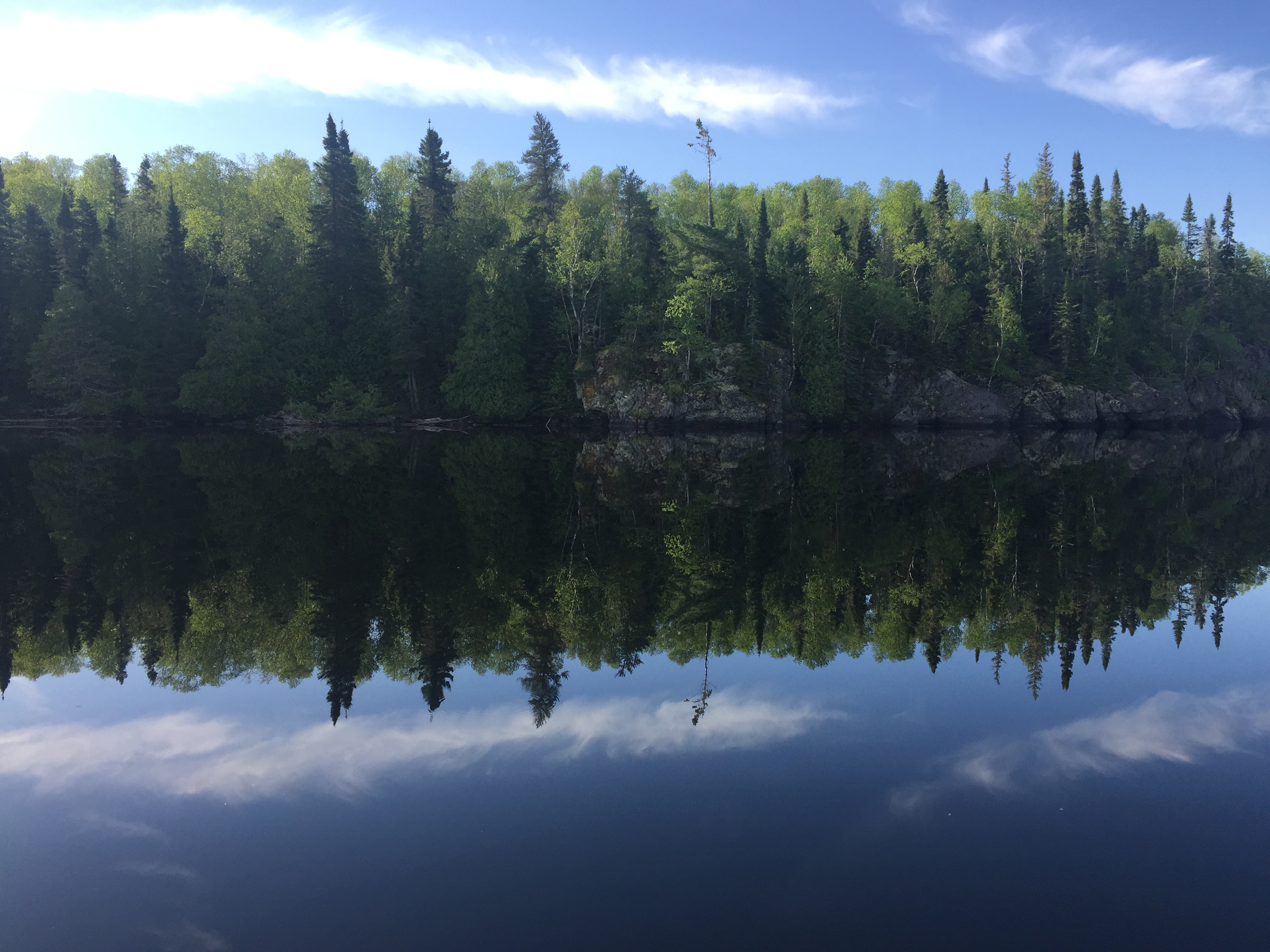
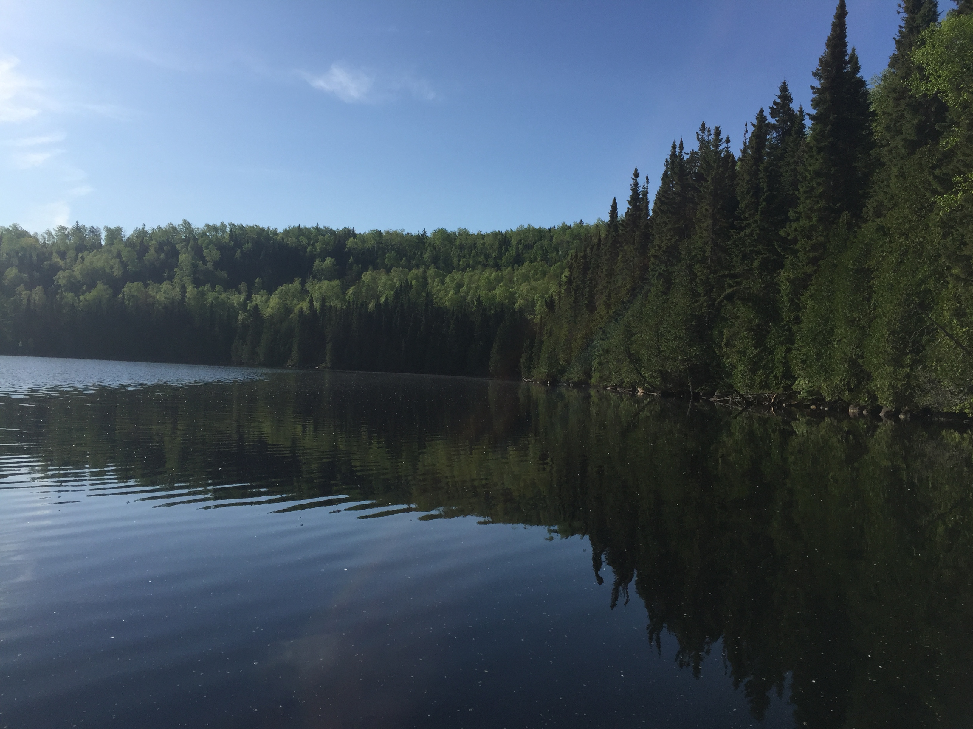
A morning paddle across a lake that is as flat as a mirror. This paddle initiates at the northern most island campsite on Cherokee Lake. The route takes you to the east, along the south shoreline. The final destination is the Town Lake portage.
Reflections seen along the southeast shore of Cherokee Lake, in the northeastern part of the lake.
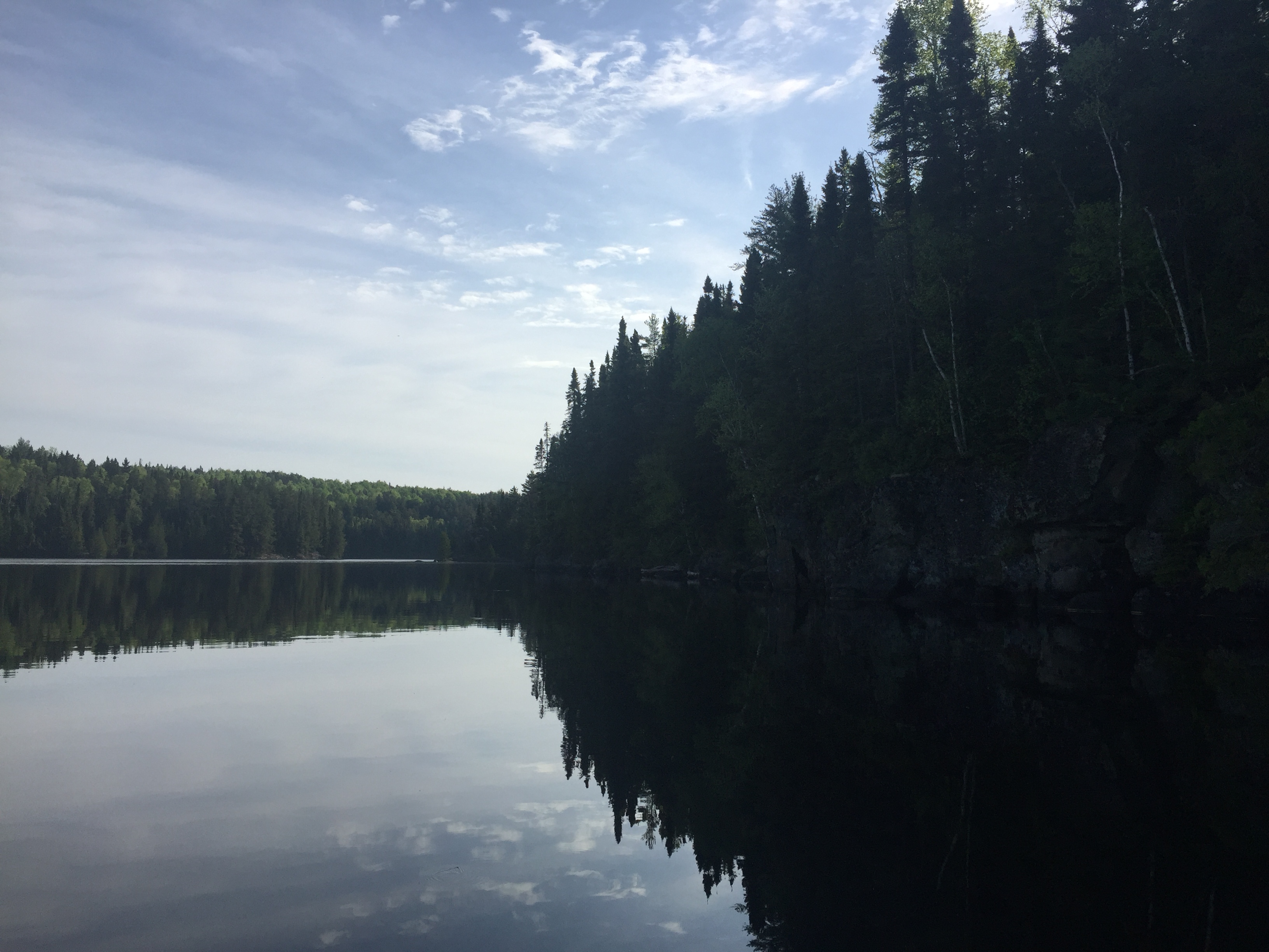
Cliffs along Cherokee Lake. Around that point. just to the left of the center of your view, is the entrance to the small bay where the portage to Town Lake is located.
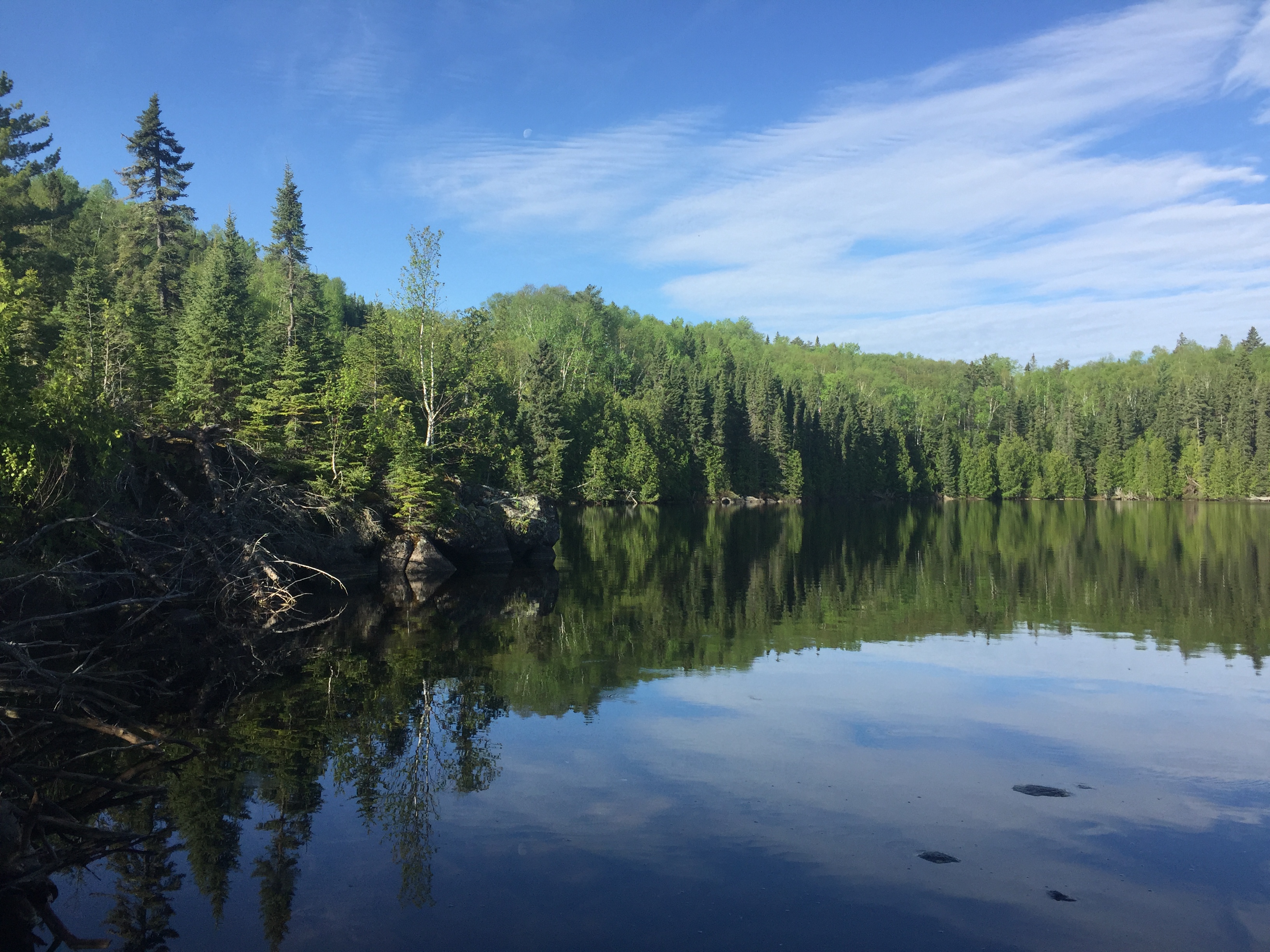
You are looking at the south shore of the little bay where you'll find the portage to Town Lake.
Another view of the small eastern most bay on Cherokee Lake, just after you round the south point. The portage to Town Lake is on the east shore of this bay. Portage to Town Lake -or- Explore Another Route ***********************************************END OF ROUTE***********************************************
VIEW OF CHEROKEE LAKE FROM THE GORDON LAKE PORTAGE
View of Cherokee Lake looking toward the south from the Gordon Lake portage. Explore Another Route ***********************************************END OF ROUTE***********************************************
Route Connections for Cherokee Lake
From Cherokee Lake, you can portage to Gordon Lake or Town Lake. You can also paddle into Cherokee Creek. Sniff Lake is also accessible via a short bushwhack. Ranger Lake is also accessible via bushwhack. There used to be a portage to Range Lake, but it is no longer maintained.