ROUTES/PORTAGES FROM FISHHOOK LAKE:
This lake is accessible from the Brule Lake Trail
Fishhook Lake
Tofte Ranger District
FISHHOOK LAKE CAMPSITE: Campsite 1: (#2307) - Only campsite on lake. Accessible from the Brule Lake Trail
Fishhook Lake is the headwaters of the North Branch Cascade River. The river flows out of the southeast end of the lake. Fishhook Lake is not fed by any other streams.
This lake is only accessible from the Brule Lake Trail. There is a single campsite on Fishhook Lake that can be used by hikers.
Fishhook Lake is at an elevation of 1982 feet above sea level. That makes it one of the highest elevation lakes in the BWCA (probably top eight). It may be the highest "accessible" lake in the BWCA.
The one campsite on the lake is a nice one. It is located on the point in the east end of the lake. The access trail to the campsite from the Brule Lake Trail is quite long.
There is no information on what fish are present (if any) in this lake.
Exploring Fishhook Lake
View to the north from the campsite.
The first 30 seconds or so of the video show a portion of western end of Fishhook Lake that is accessible from along the Brule Lake Trail. The rest of the video shows the part of the lake that can be seen from around the campsite that is located on the southeast point.
Looking northeast from the campsite.
The southeast view from the campsite. In that notch, just left of the center of your view, is where the North Branch Cascade River flows out of Fishhook Lake. Fishhook Lake is the headwaters for that river.
Looking toward the southwest. This is the bay that is south of the point on which the campsite is located.
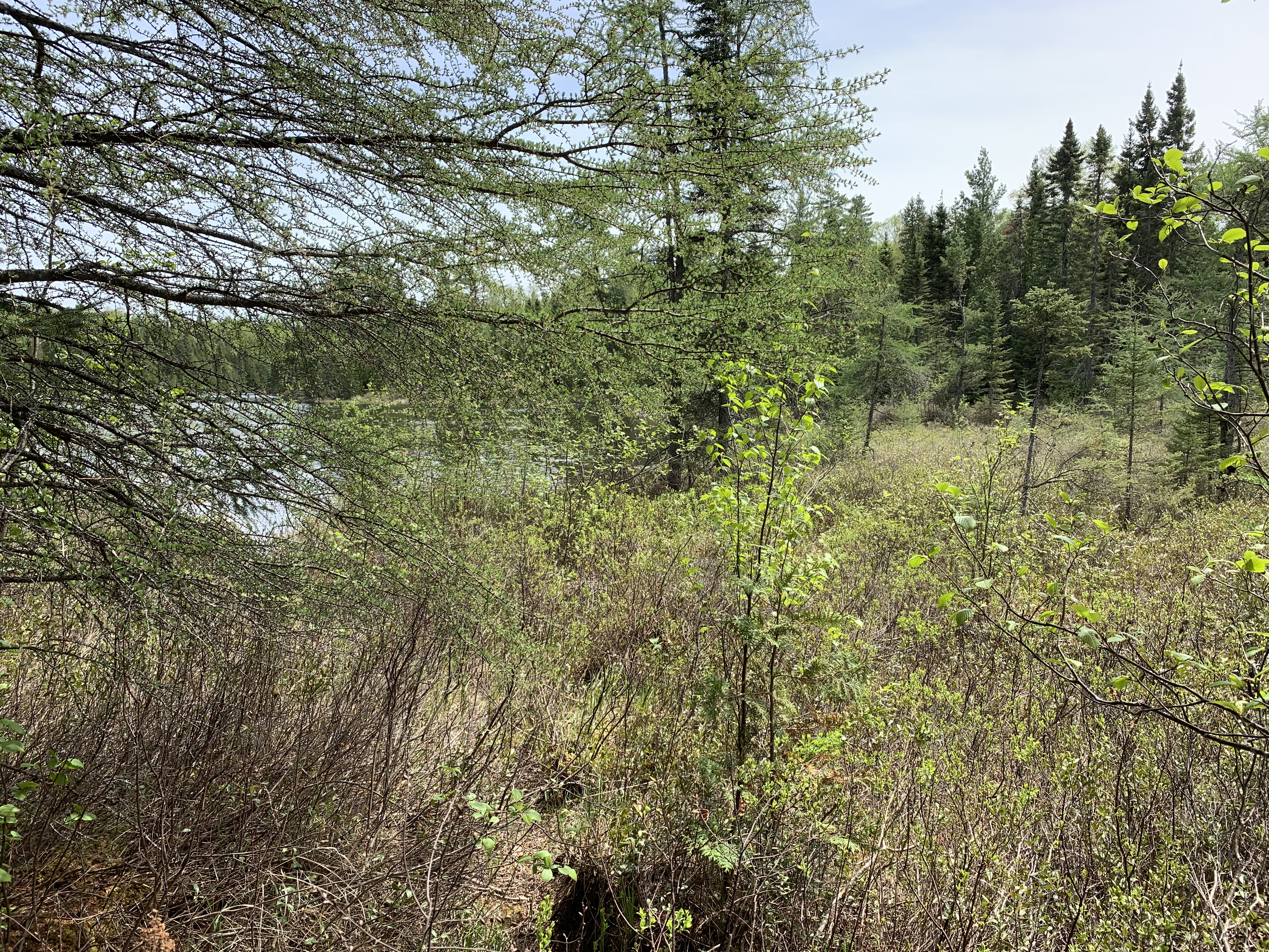
Wetland at the west end of the bay that is south of the point. View is to the southeast.