Headwaters of the Temperance River at Brule Lake
Click on the photos below to see the full resolution image - Use your browsers back button to close photo and return to this page.

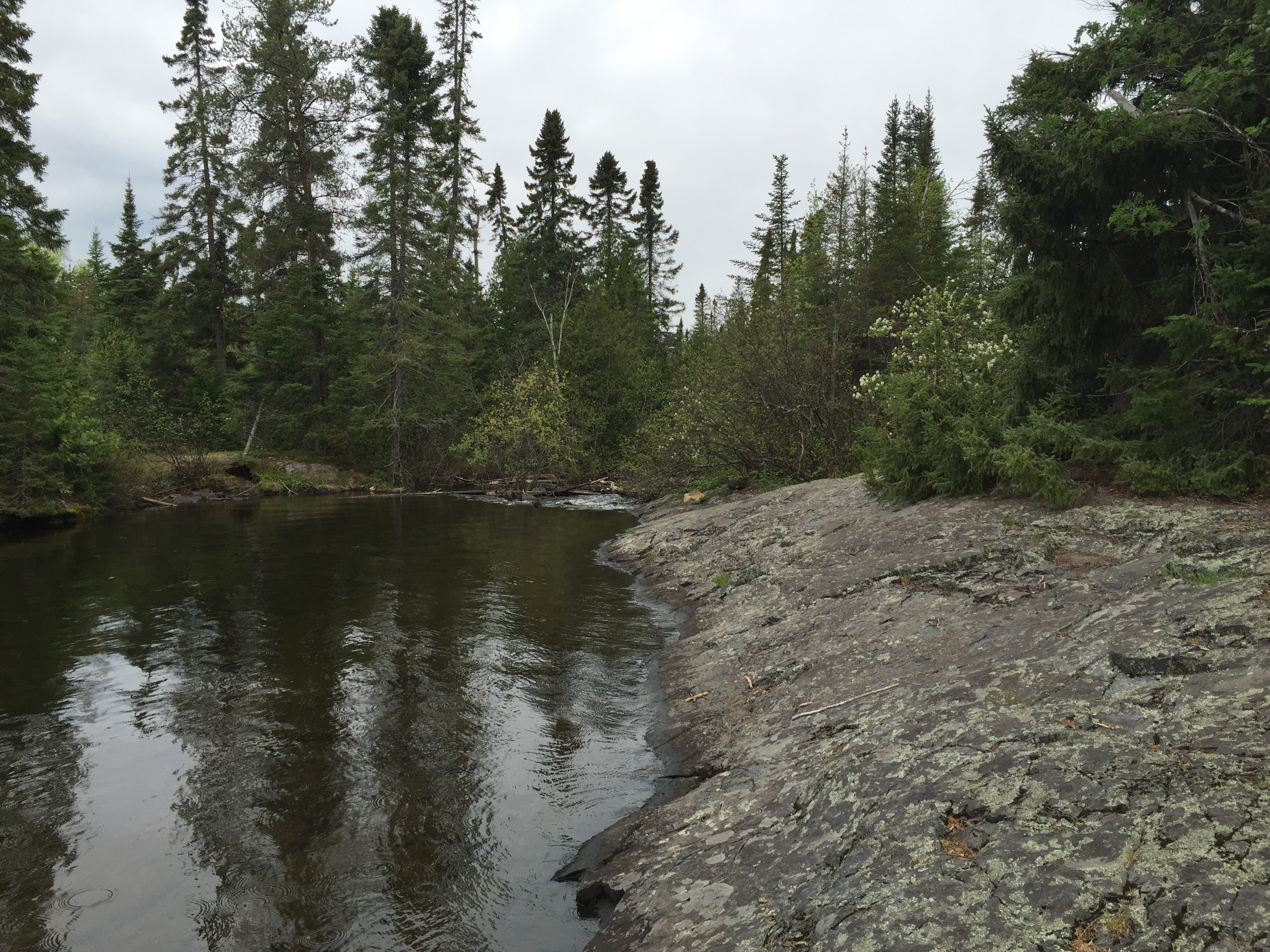
The Temperace River begins here. The river will flow 39.4 miles and tumble down countless rapids and cascade over many waterfalls before it reaches Lake Superior in Temperance River State Park on Minnesota's North Shore. The elevation here at its headwaters at Brule Lake is 1,834 feet above sea level. It will lose 1,232 feet before it reaches Lake Superior whose shoreline is the lowest point in Minnesota at 602 feet above sea level. This is also the location of the Brule Lake to Temperance River portage.
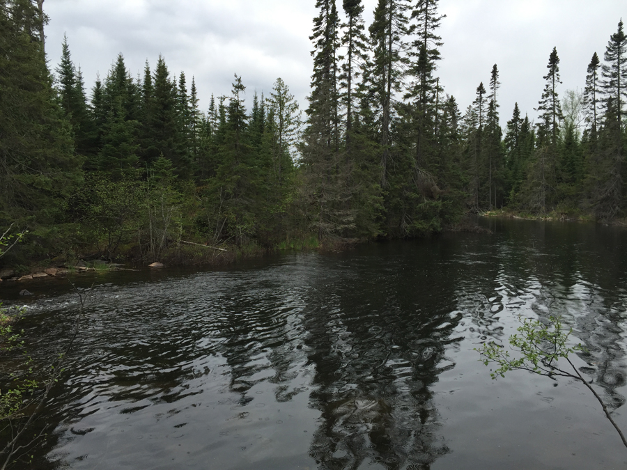
The Temperance River just below the rapids where it flows out of Brule Lake.
Return to paddling on: BRULE LAKE
Back to List of BWCA Places
|