Access to the Island River Entry Point is from Minnesota Highway 1. From the town of Isabella, just head out of town on Forest Road 912. There are many signs along these gravel forest roads that show the mileage and direction to the many BWCA entry points in the area. The signs are posted at almost every intersection.
The Island River is well within the 2011 Pagami Creek Fire burn zone. There is burnt forest as far as the eye can see (with little islands of trees that somehow survived). The area is starting to green up as of 2021, many new trees now stand around 10 to 12 feet high.
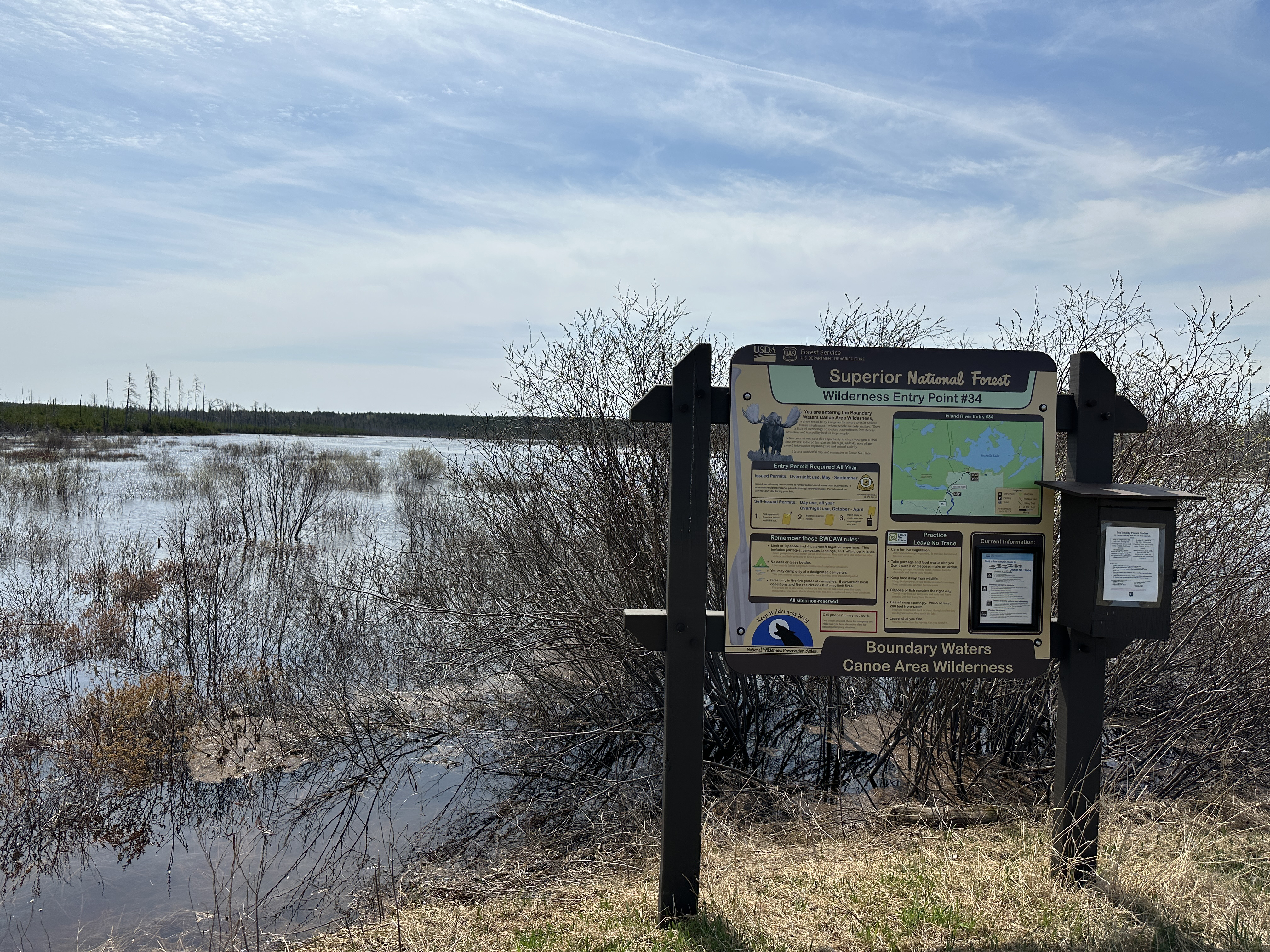
The actual Island River entry point is located where the road crosses a wooden bridge over the river. The parking area is right next to the river and this bridge. It feels very exposed as there are no trees here at all, just charred stumps, river and fields of blowing grass. The wind really howls through here now, there being nothing to slow it down. That can make paddling difficult if it is breezy. To enter the BWCA, go under the bridge from the parking lot. If you are looking to check out the Native American pictograph site found along the Island River, go the other way. That pictograph site is not in the BWCA, but it is worth a visit if you have the time.
Click on the photos below to see the full resolution image - Use your browsers back button to close photo and return to this page.
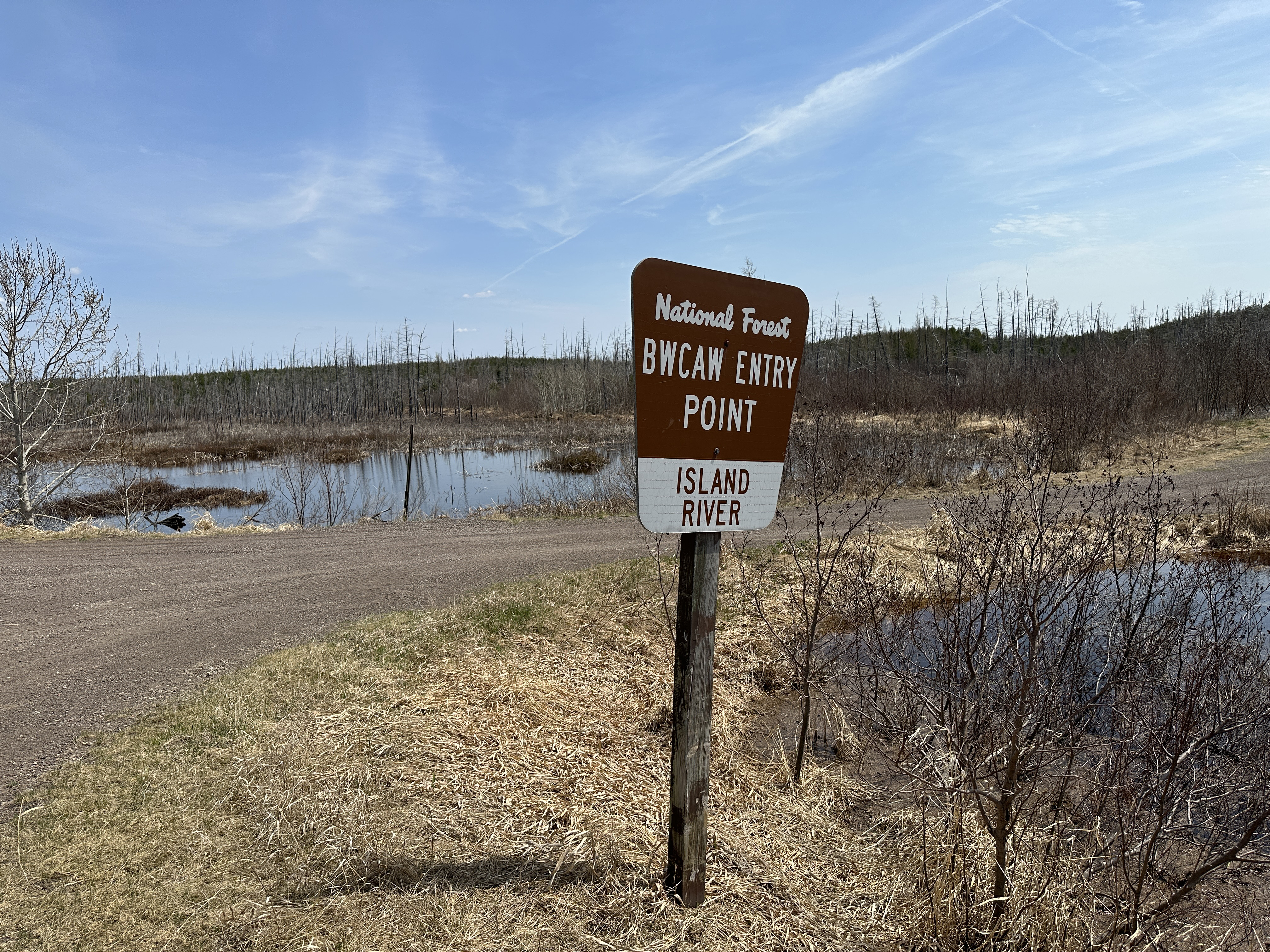
Sign along Tomahawk Road right before the turn off into the entry point parking lot (May 12, 2023).
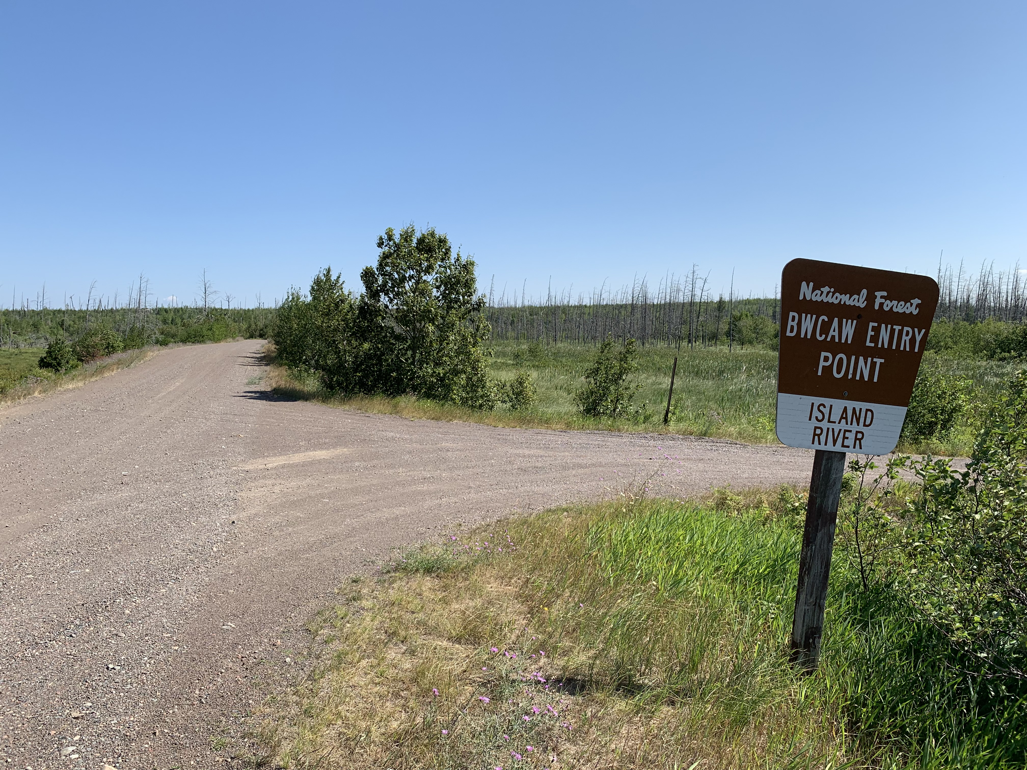
Sign along Tomahawk Road right before the turn off into the entry point parking lot (July 2021).
Similar view as above, but from a slightly different angle (July 2016).
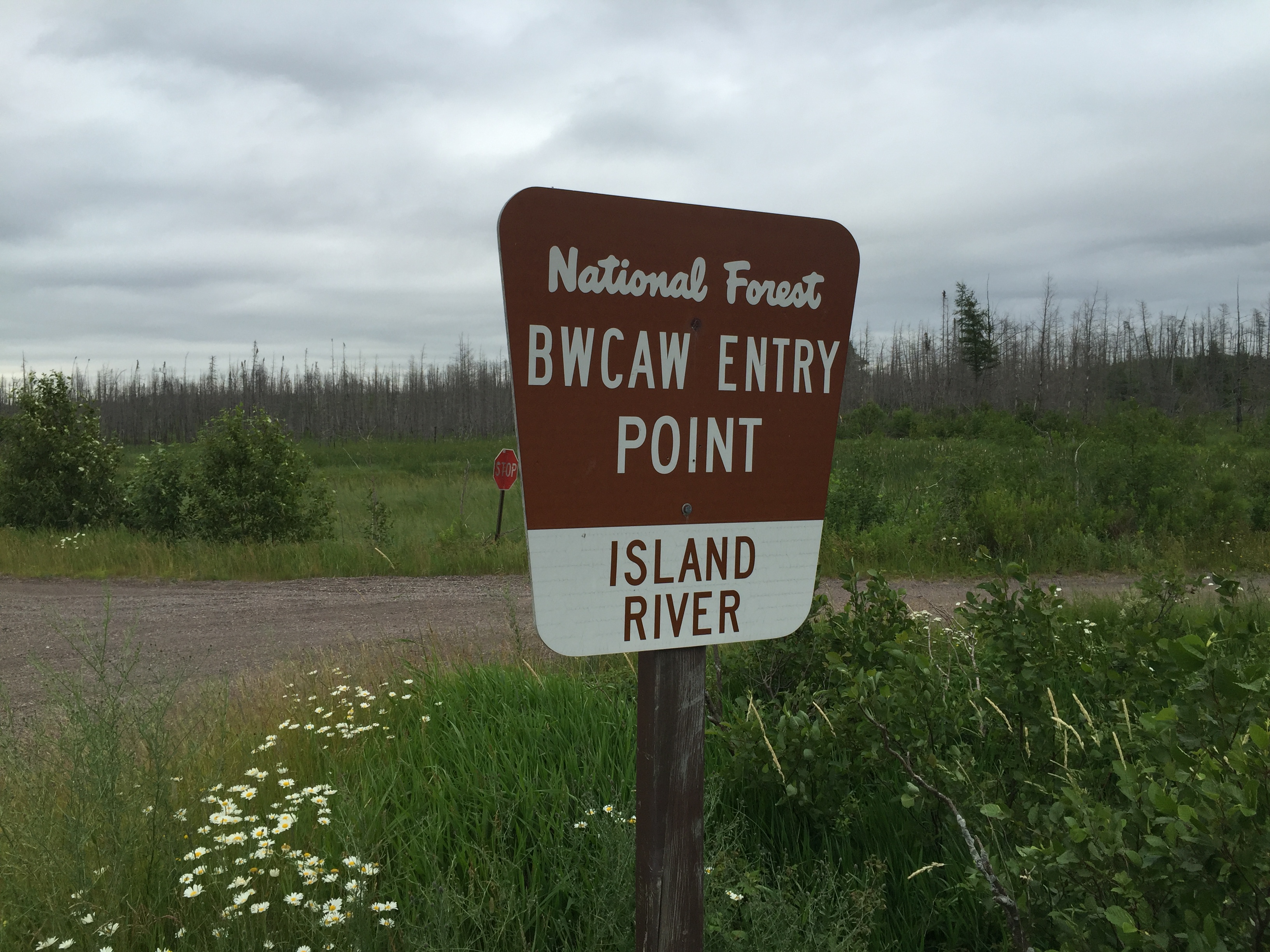
A really good look at that sign...(July 2016).
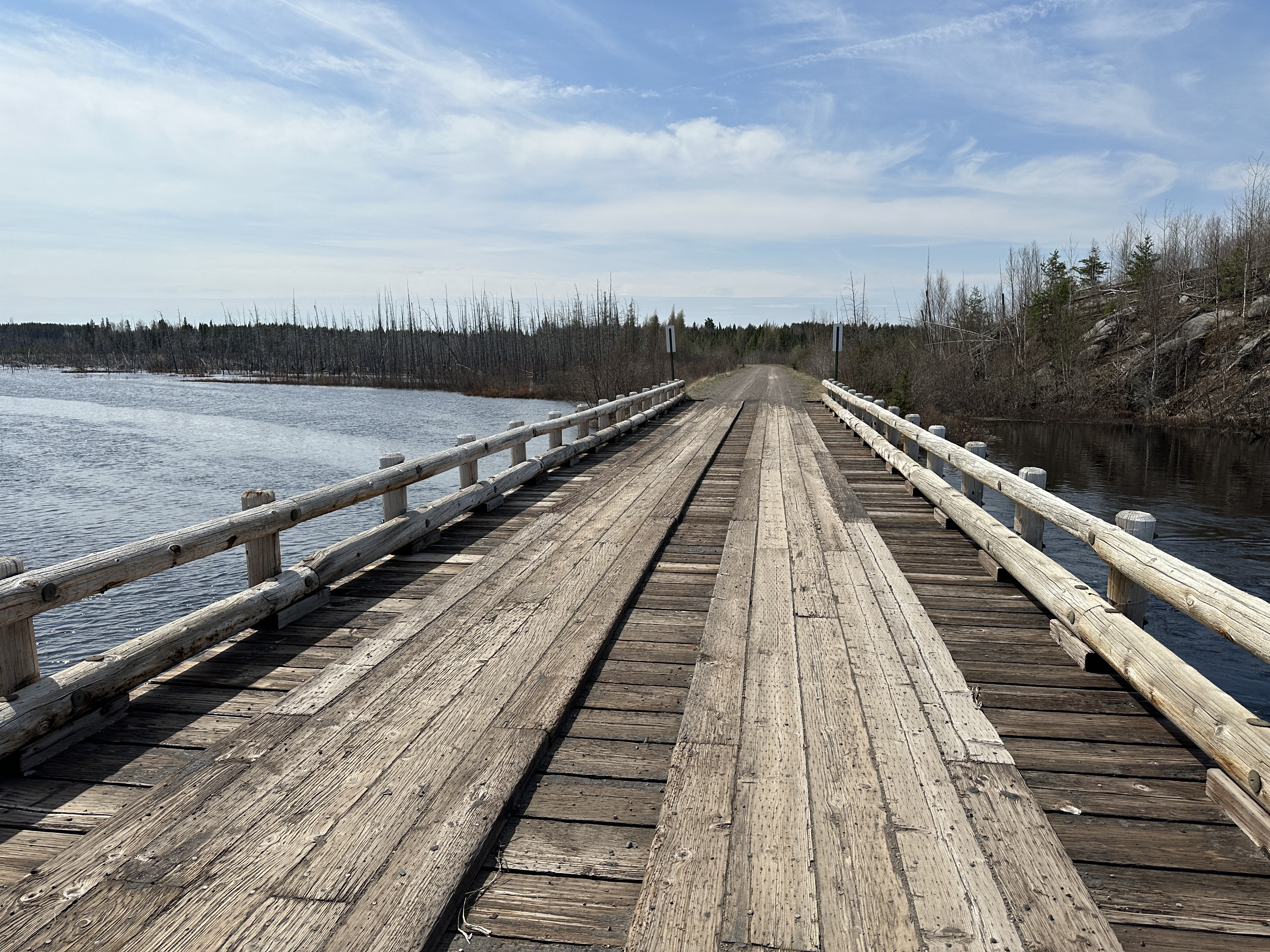
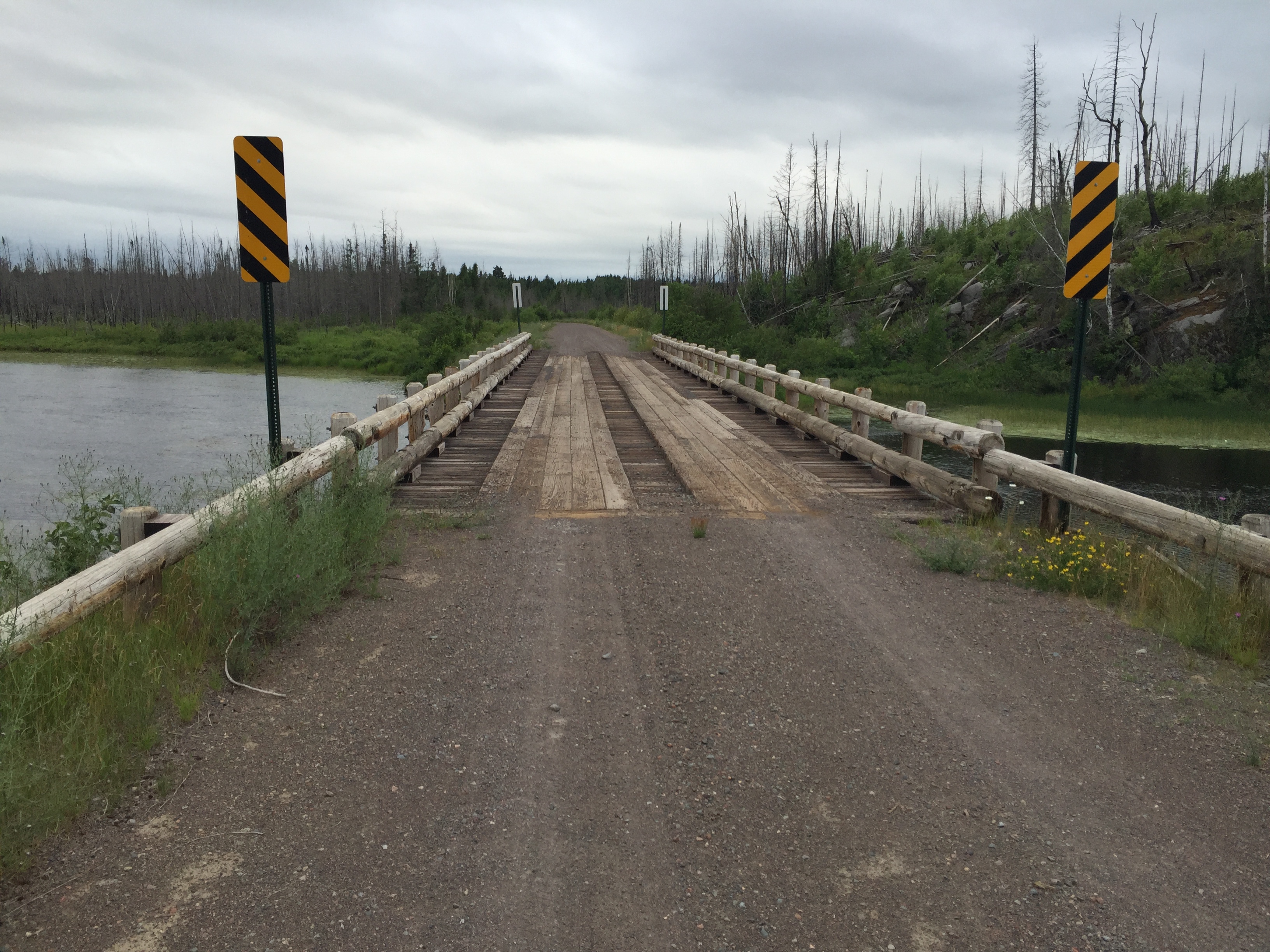
The bridge over the Island River. This is Tomahawk Road. The road is named after an old logging company that worked this area back in the 1940's to the early 1960's (May 12, 2023).
The bridge over the Island River. This is Tomahawk Road. The road is named after an old logging company that worked this area back in the 1940's to the early 1960's (July 2021).
Similar view from the past as the one shown above (July 2016).
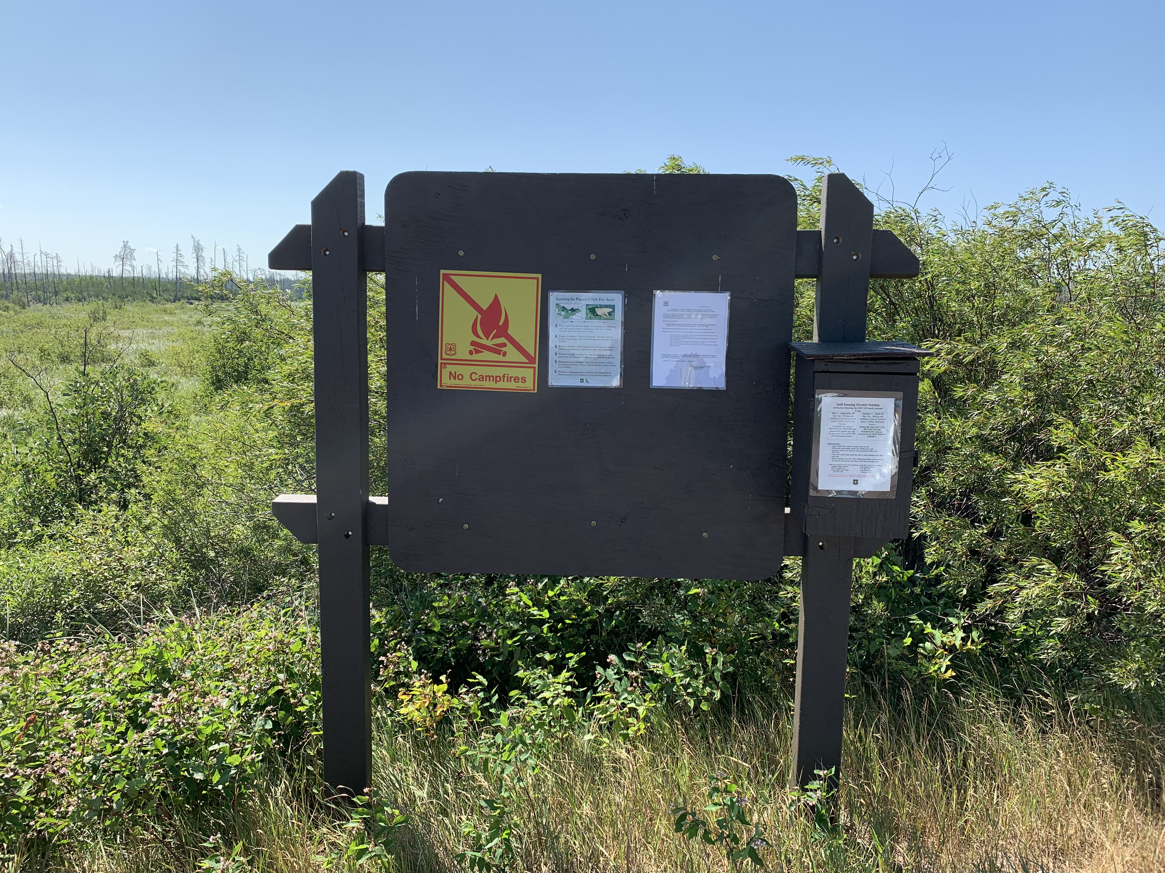
This is the newer bulletin board that was placed here sometime after 2021 (May 12, 2023).
This is the newer bulletin board that was placed here sometime after 2016. It has also been moved to the other side of the parking lot (July 2021).
The old bulletin board (July 2016).
You are standing on the shore of the Island River with the parking lot a few feet behind you. To your right is downriver. The BWCA is entered after going under that bridge. Upstream (heading out of the BWCA) to the left, there is a pictograph site that can be seen along the river a few miles upstream (July 2016).
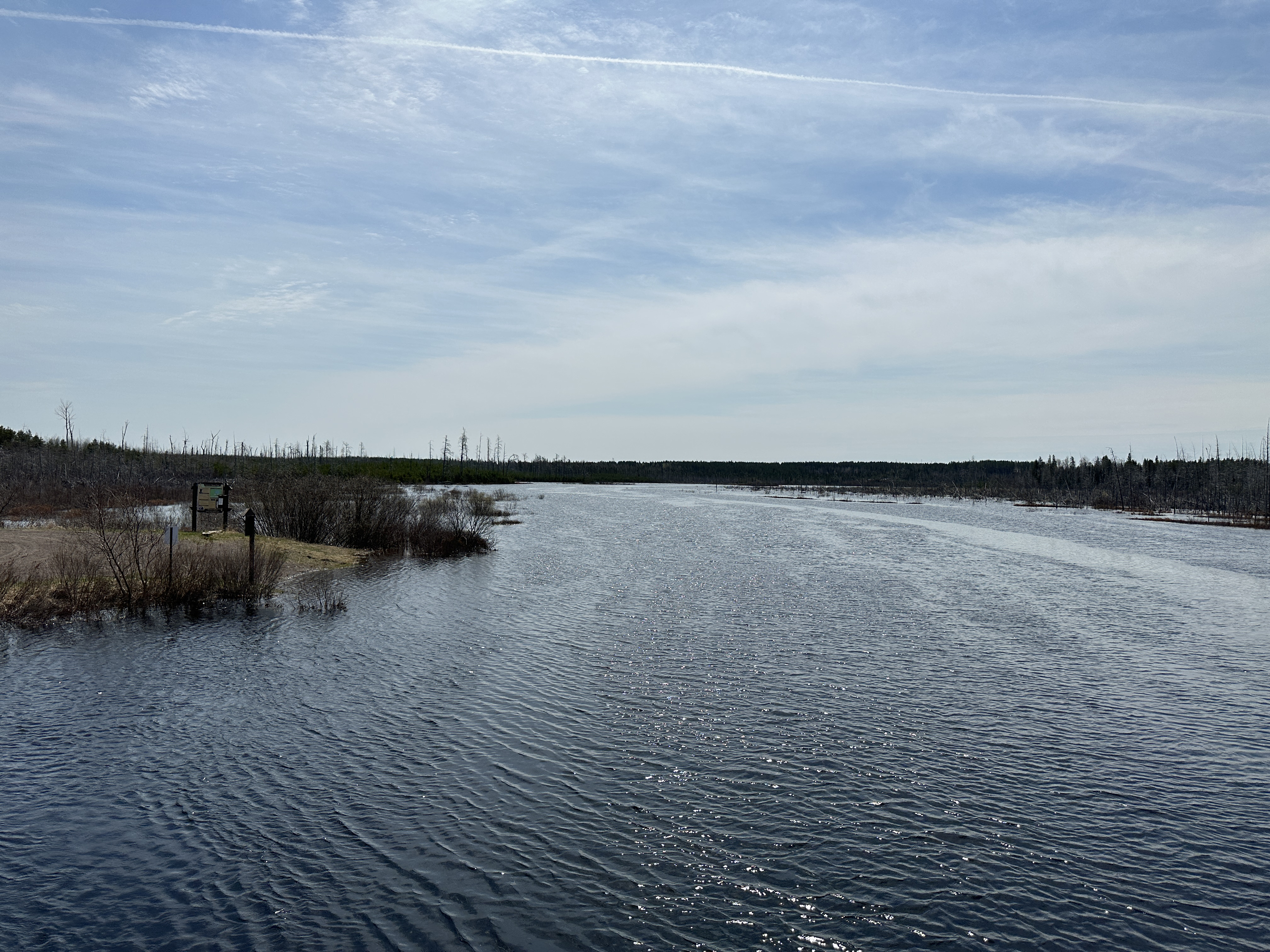
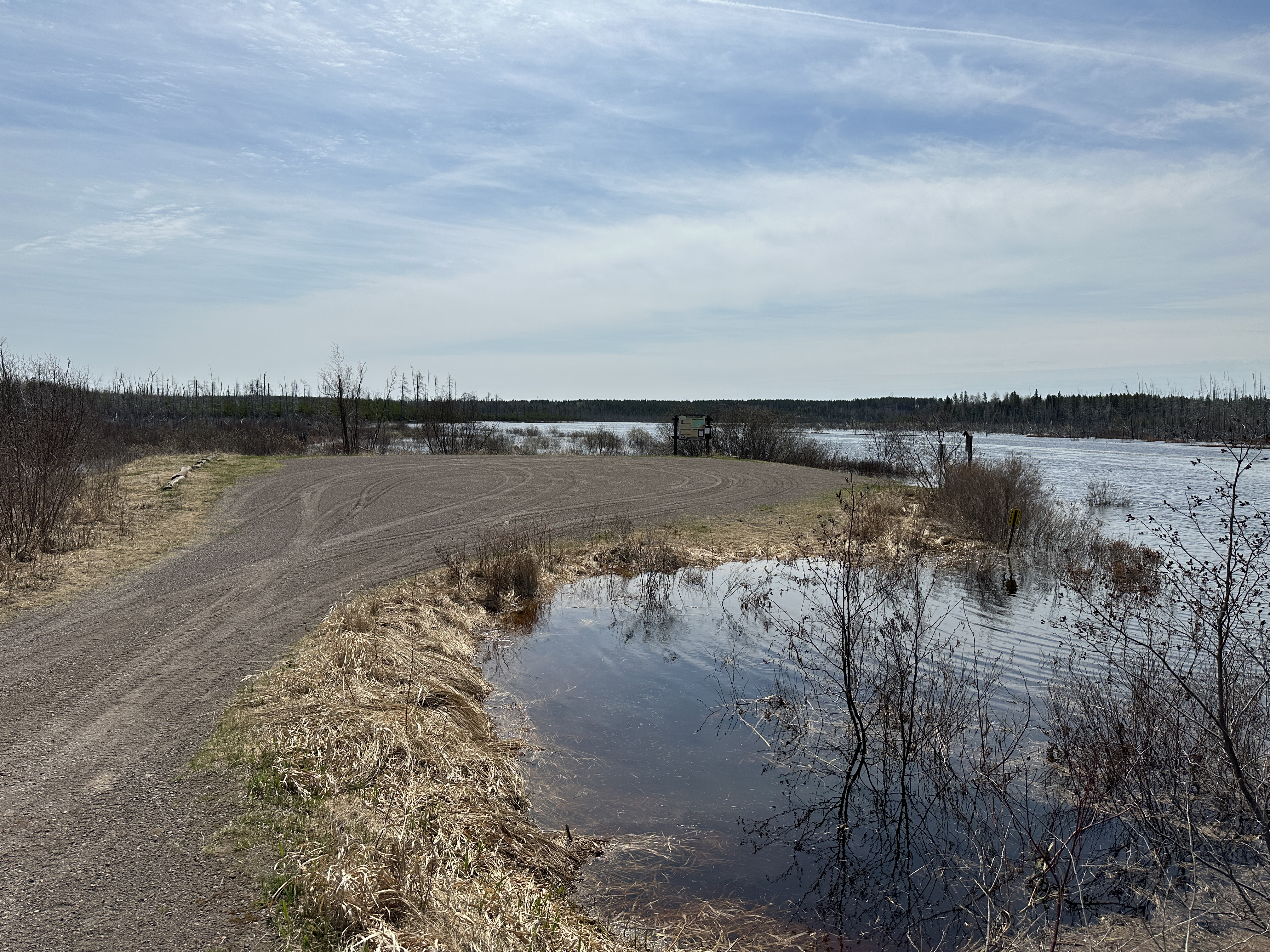
View of the Island River during a flood as a result of heavy snowmelt (May 12, 2023).
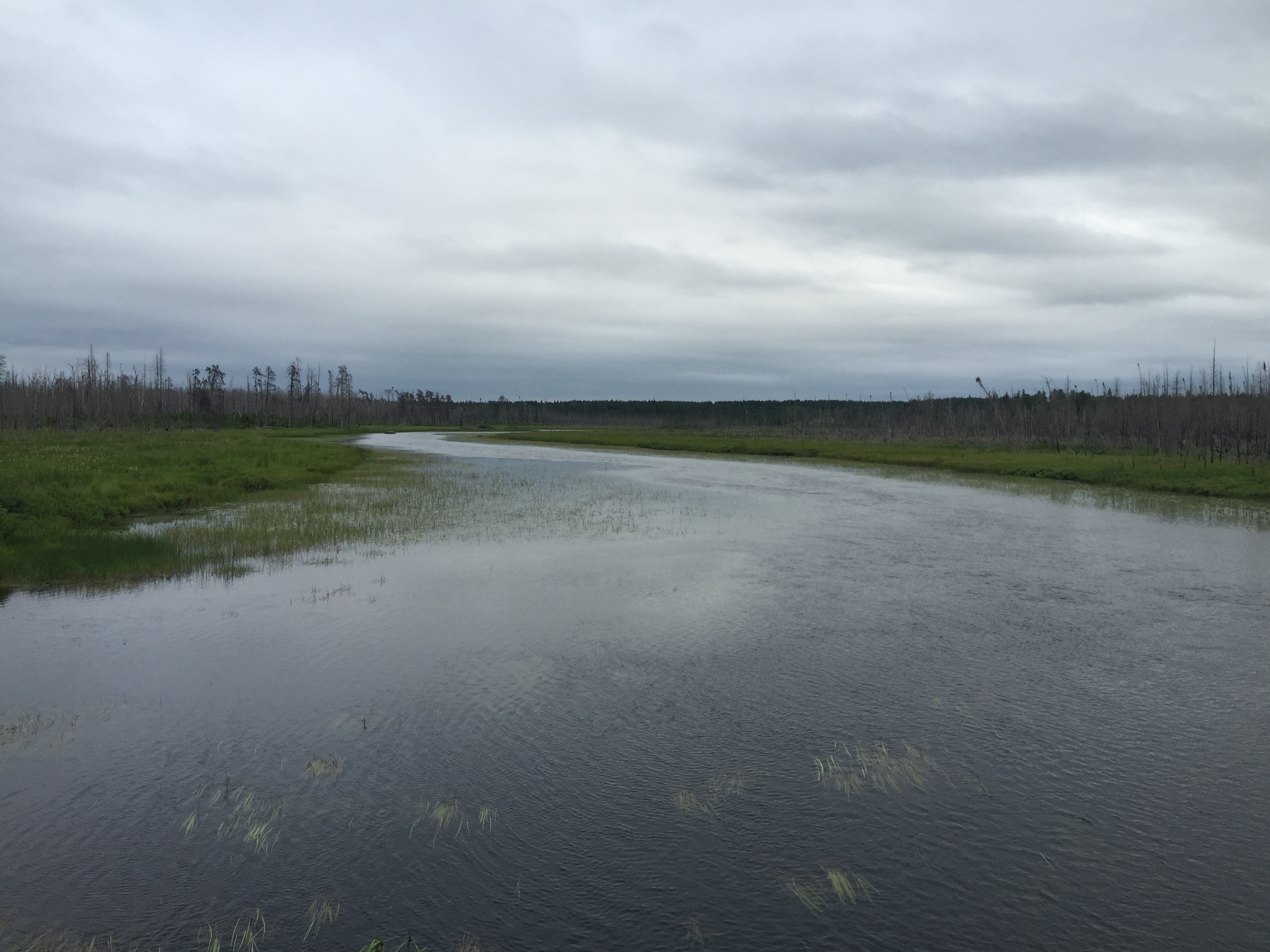
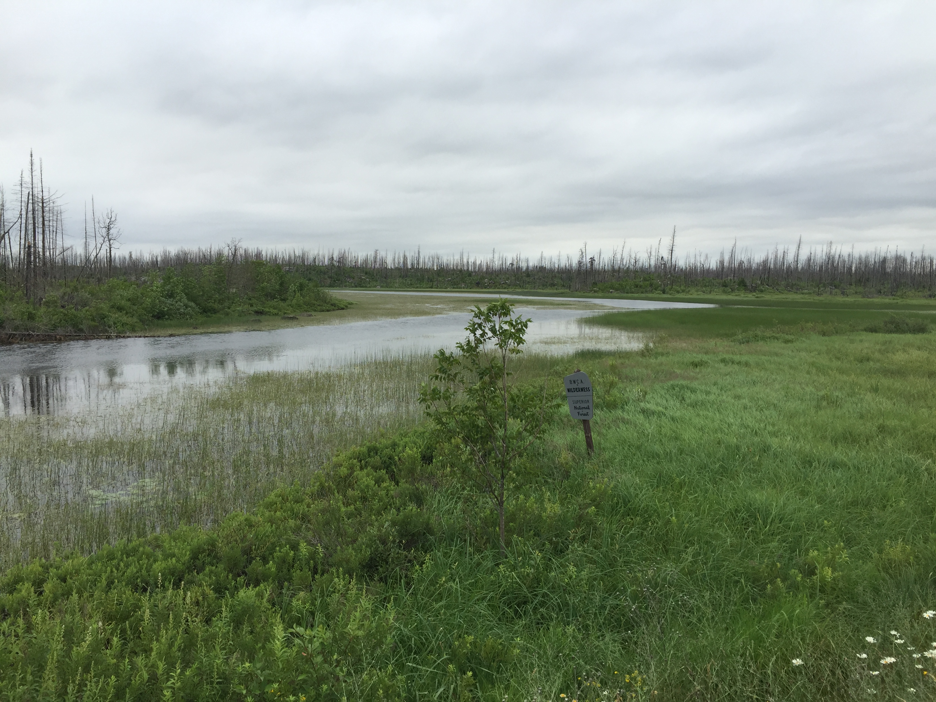
View of the Island River during drought conditions (July 2021).
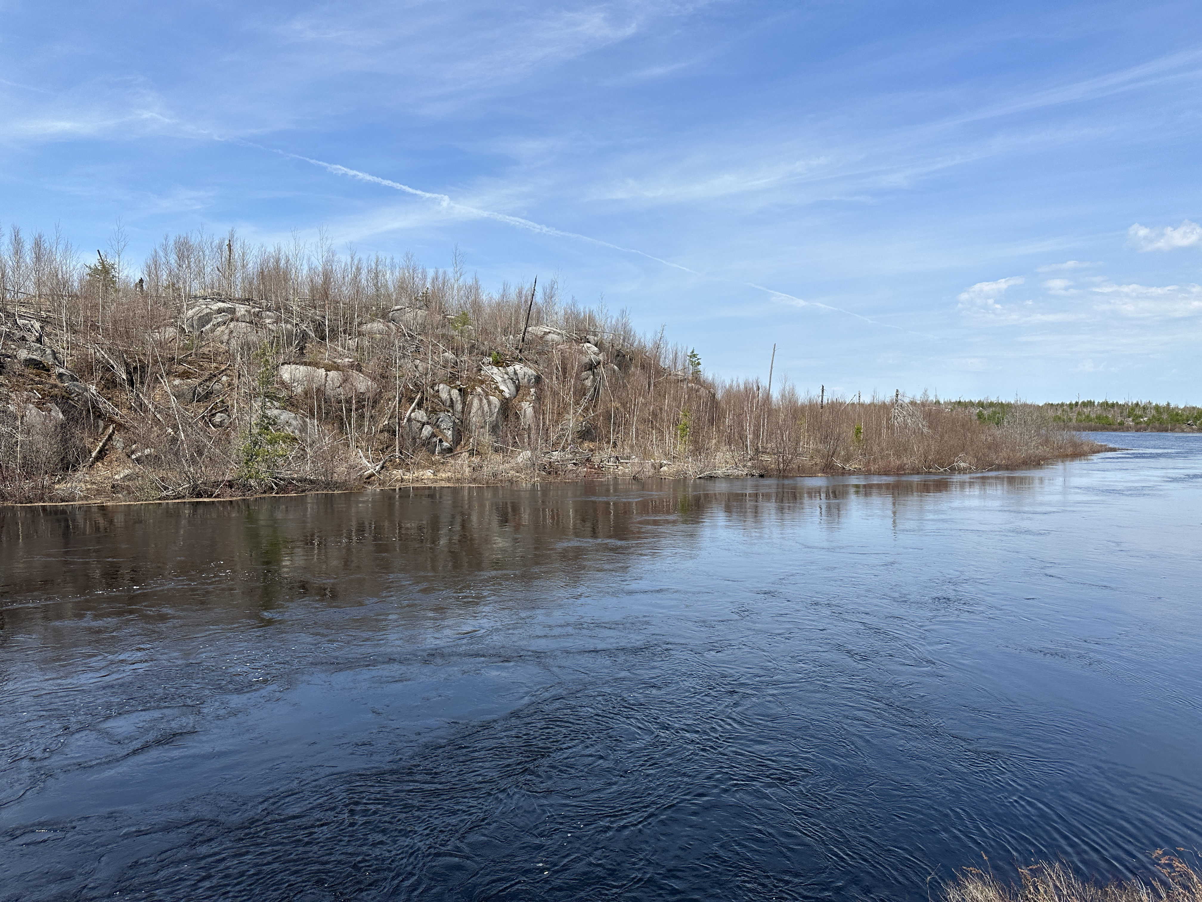
Wandering around the Island River entry point area (July 2016).
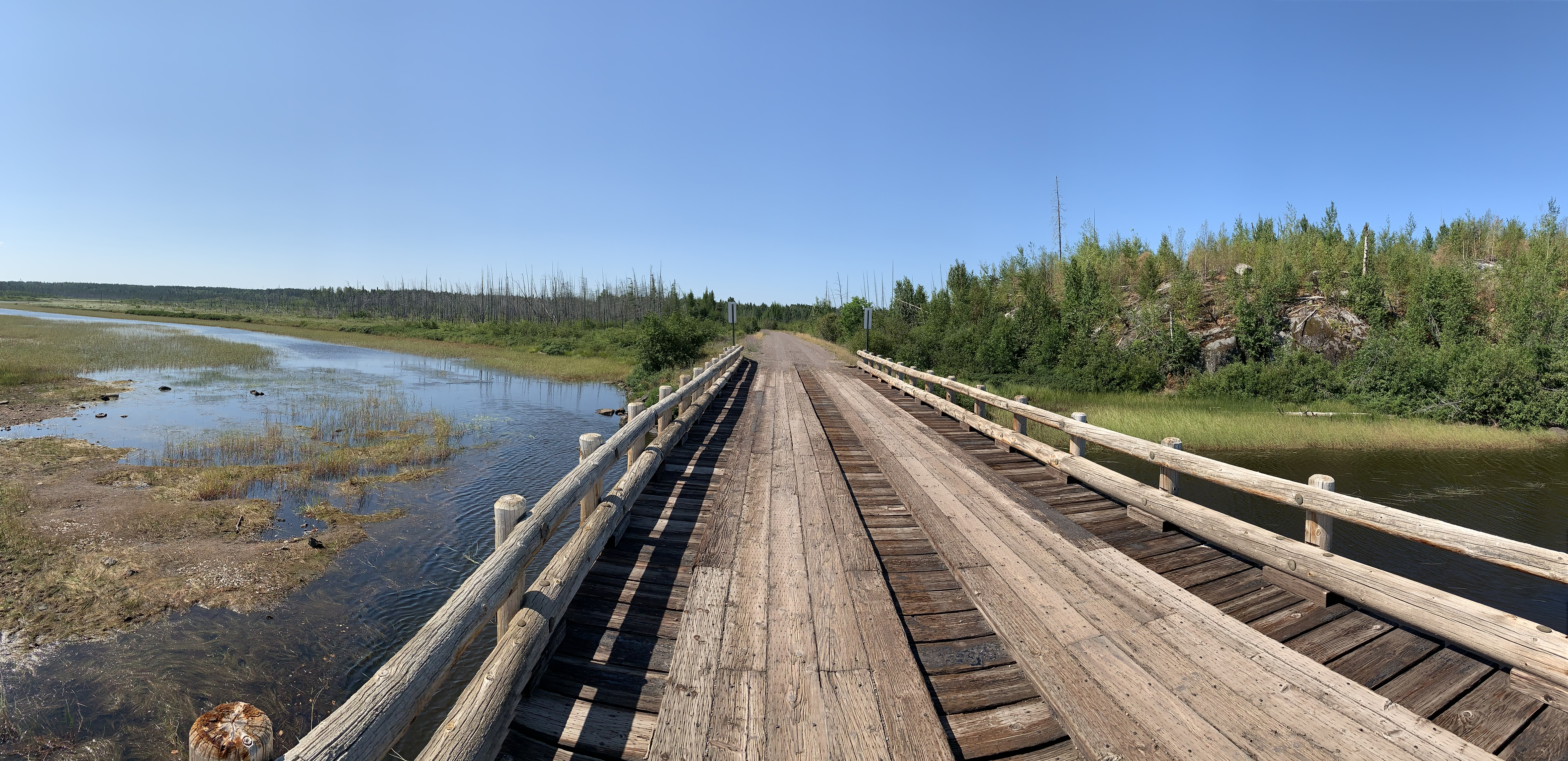
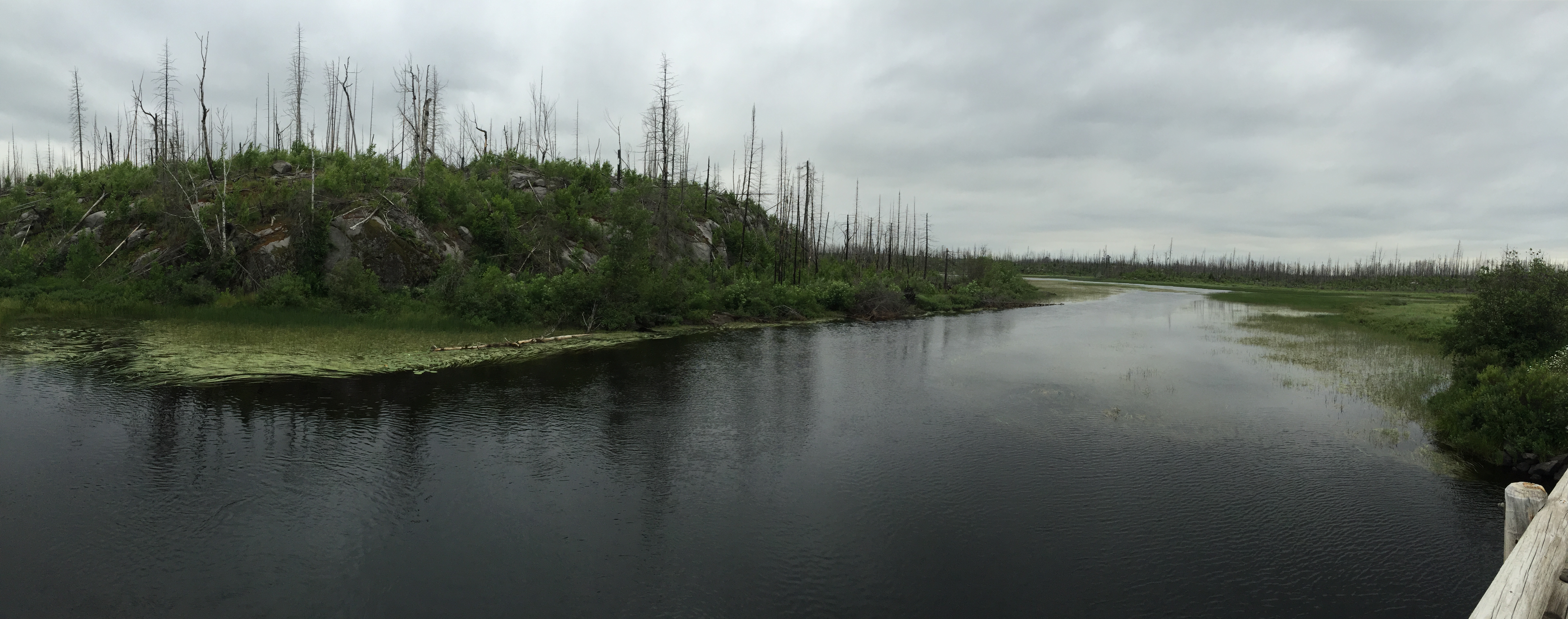
For a good view of the area, walk out on this bridge (July 2016).
Looking upstream. Drought conditions so river is low for this time of year (July 2021).
Looking upriver while standing in the middle of the bridge with high water levels (May 12, 2023).
Looking upriver while standing in the middle of the bridge (July 2016).
The view downriver in high water conditions. This is looking into the Boundary Waters whose boundary you cross right after you go under the bridge (May 12, 2023).
The view downriver (July 2016).
BWCA boundary marker. The Island River flows into the Isabella River about 1.5 miles downstream.
This image gives a good view of the entire entry point.
Now that you've reached the bank of the river, visit the:ISLAND RIVER