Last Visited: September 4, 2022; Previous Visits: June 15, 2019, May 12, 2016 and October 9, 2015
Maps: Fisher F-12; McKenzie #7
Daily Quota: 3
Fire History: 2007 Ham Lake Fire
Nearest Ranger Station: Gunflint Ranger Station, Grand Marais, MN along Hwy. 61 on the North Shore
Portage Length from Parking Lot: 5 rods
Restroom at Entry Point: Yes
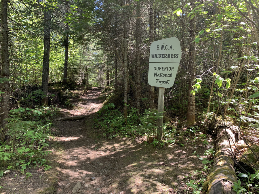
Entry Point 50 - Cross Bay Lake
Gunflint Ranger District
From Grand Marais, follow the Gunflint Trail (County Road 12) inland for about 45 miles until you reach Round Lake Road (County Road 47). The Round Lake Road turnoff is past the Gunflint Lake Overlook. Follow Round Lake Road as it parallels the Cross River. In about a mile or so you will see the sign for the Cross Bay Lake entry point and parking lot. The parking lot for Entry Point 51 and Entry Point 52 (Missing Link Lake and Brant Lake respectively) is just a bit further down the road at Round Lake.
From the parking lot, portage your gear down the steps to the gravel dock that extends out into the Cross River. From here, you will head upstream to the right. You must travel up the Cross River and over several portage, across Ham Lake and then over a final portage before you even enter the BWCA.
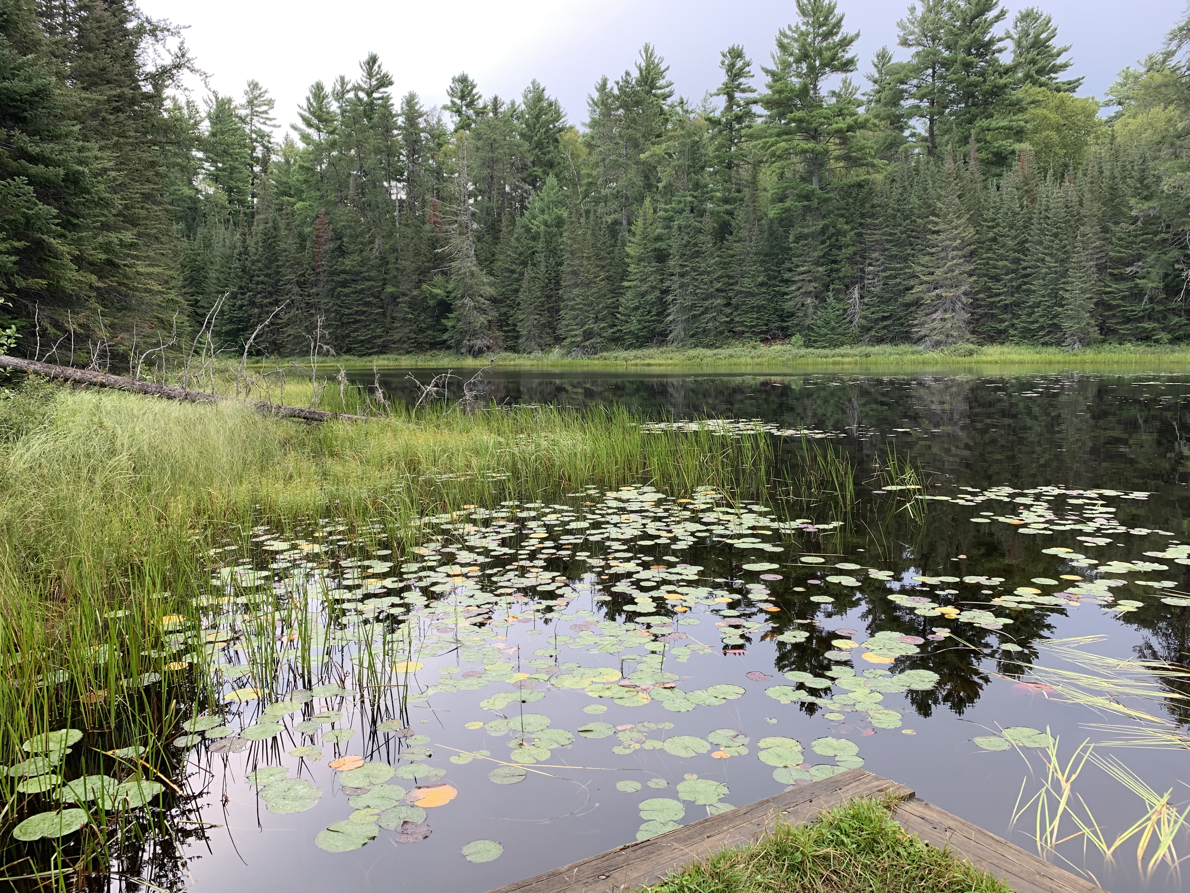
The forest around the entry point shows evidence of the 2007 Ham Lake Fire. The immediate entry point landing was spared from the fire. The fire started just downstream from where the Cross River enters the northwest area of Ham Lake. The fire spread to the northwest up the west side of the Cross River. The fire expanded greatly as it moved northwest and eventually burned about 75,000 acres, including across the border into Canada.
A parking area for the Centennial Trail loop is also just down the road. The Centennial Trail shares the Kekekabic Trail's path for the first couple miles.
Exploring the Entry Point
Click on the photos below to see the full resolution image - Use your browsers back button to close photo and return to this page.
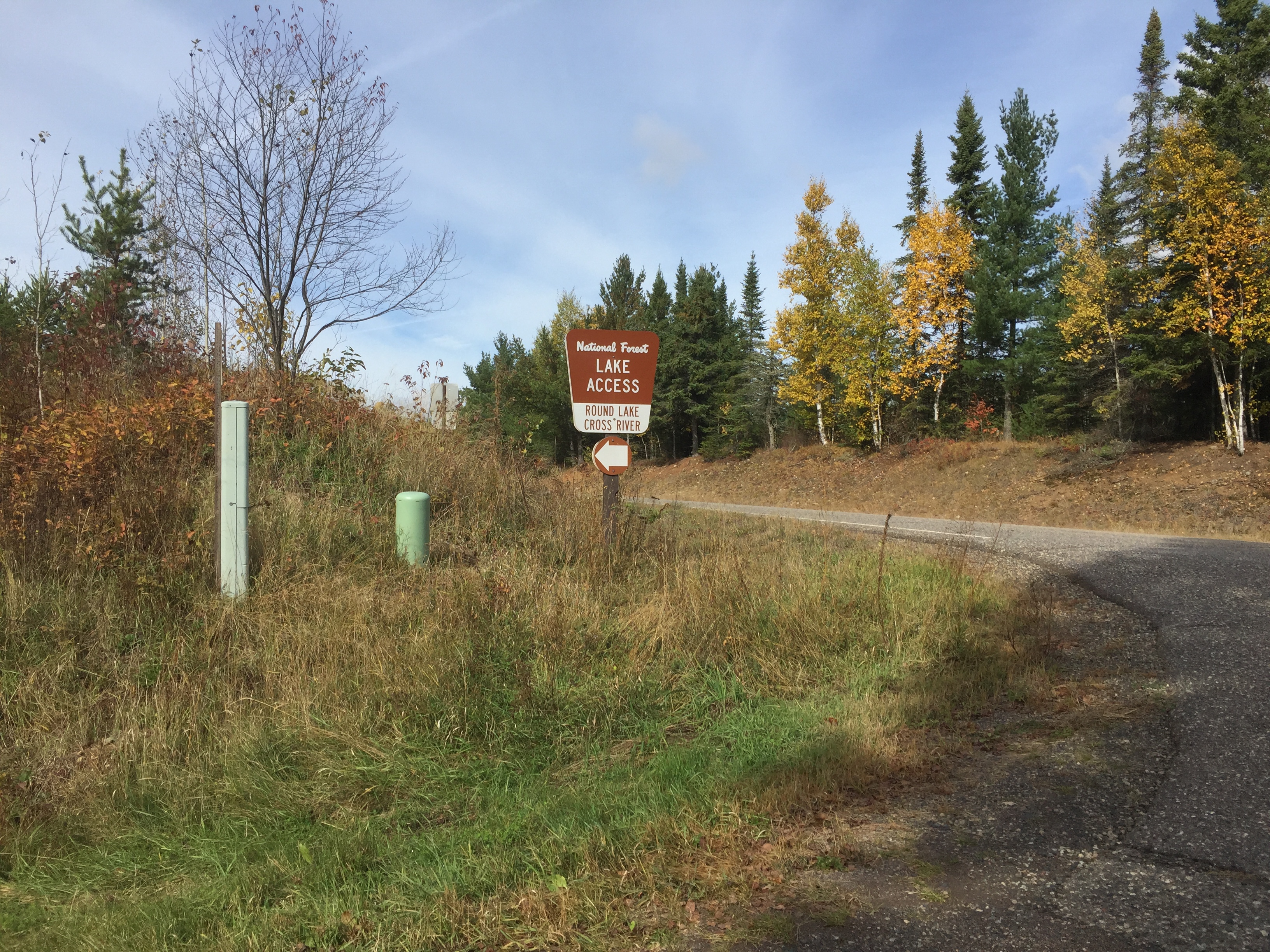
This sign indicates the turn that gets you on the road to the canoe landings for Cross Bay Lake #50, Missing Link Lake #51 and Brant Lake #52. Cross Bay Lake entry point is really on the Cross River and is the first one you will come to. Missing Link Lake and Brant Lake entry points are farther down the road and accessed from Round Lake. Tuscarora Lodge and Outfitters is also down this way if you need some extra gear or a place to bunk for the night.
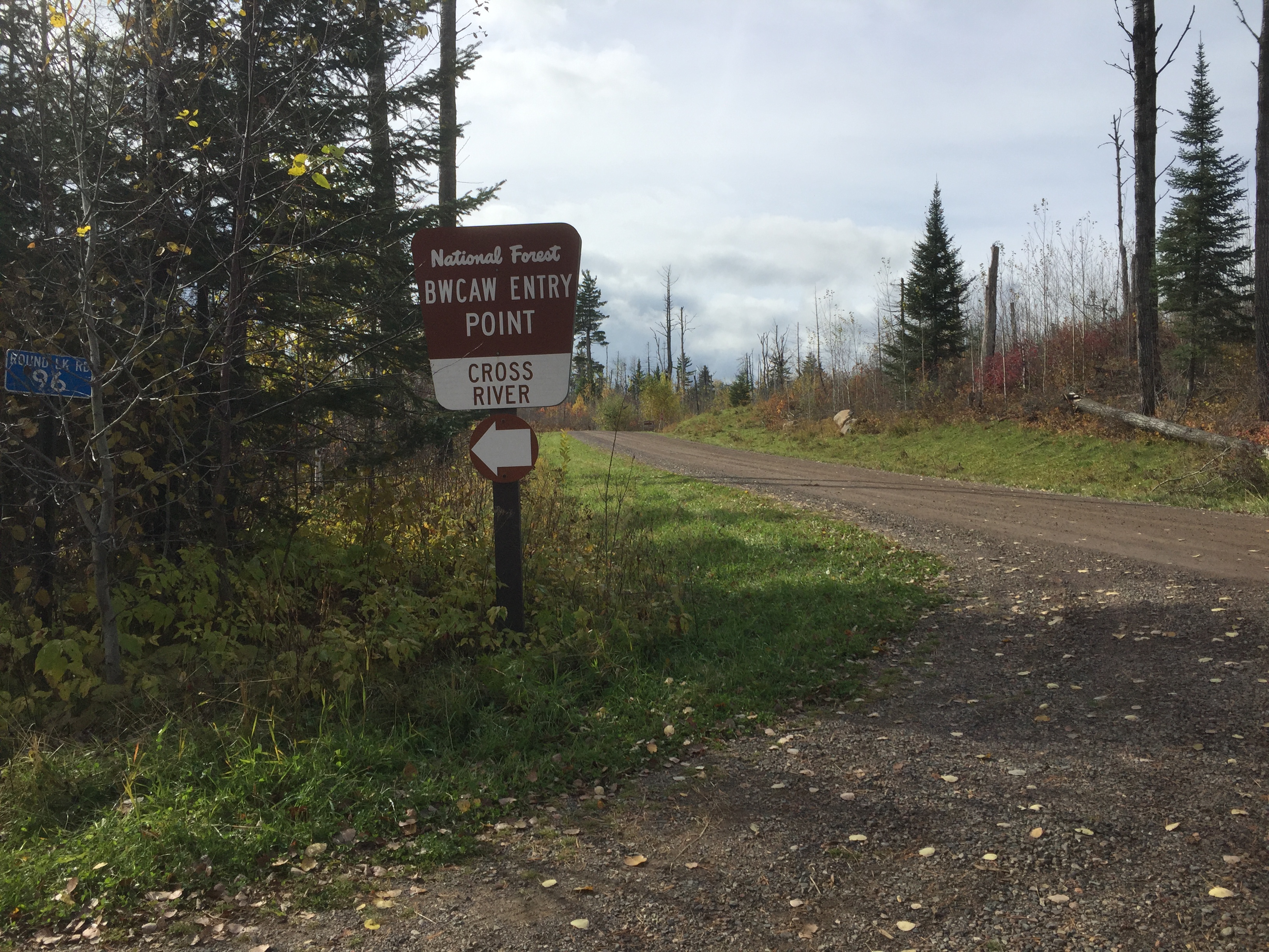
The Cross Bay Lake entry point. It says Cross River, but the entry point is really for Cross Bay Lake #50. The area was impacted by the 2007 Ham Lake Fire.
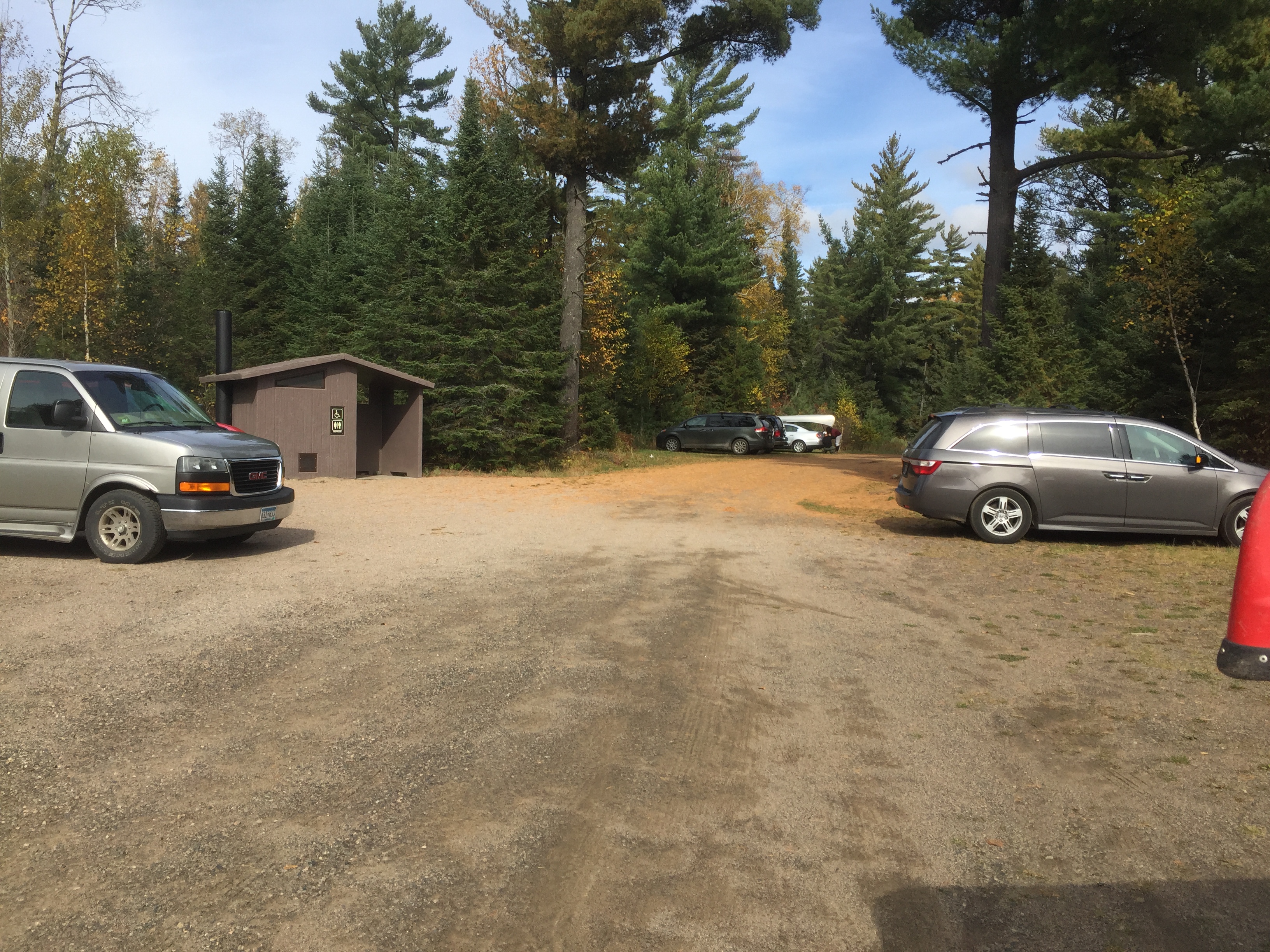
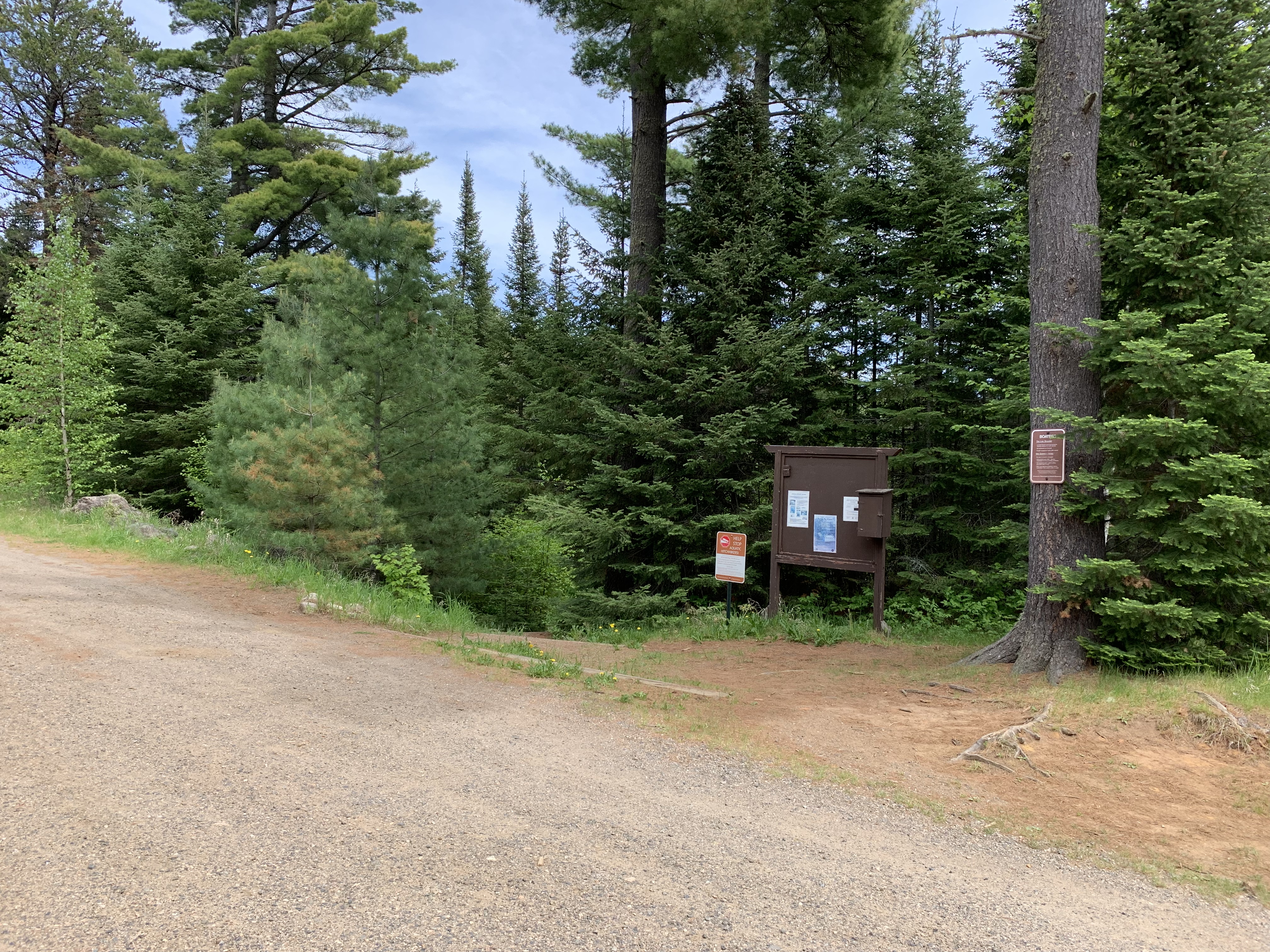
The parking lot for the Cross Bay Lake entry point #50 (September 4, 2022).
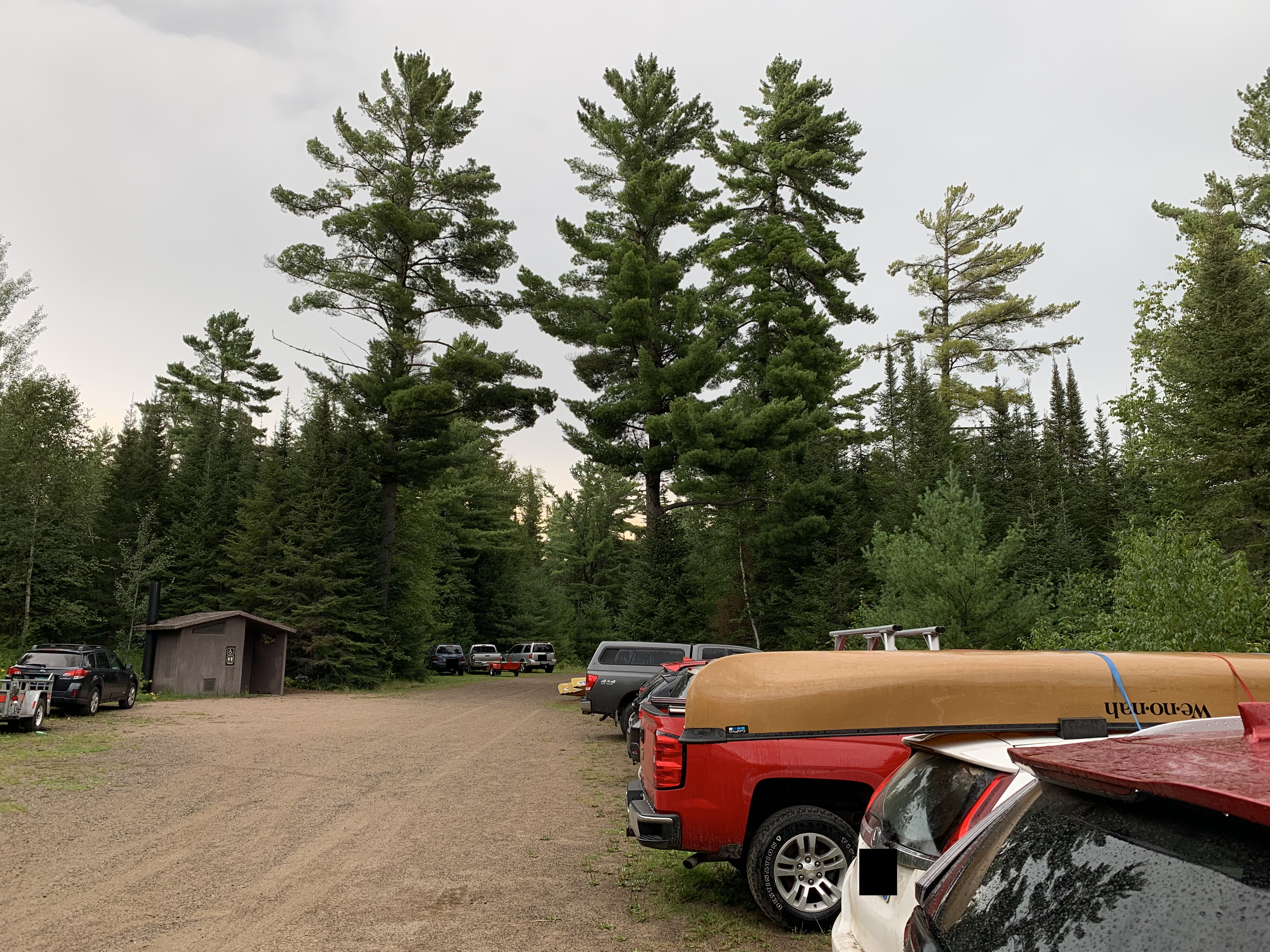
Older photo of this parking lot (June 15, 2019).
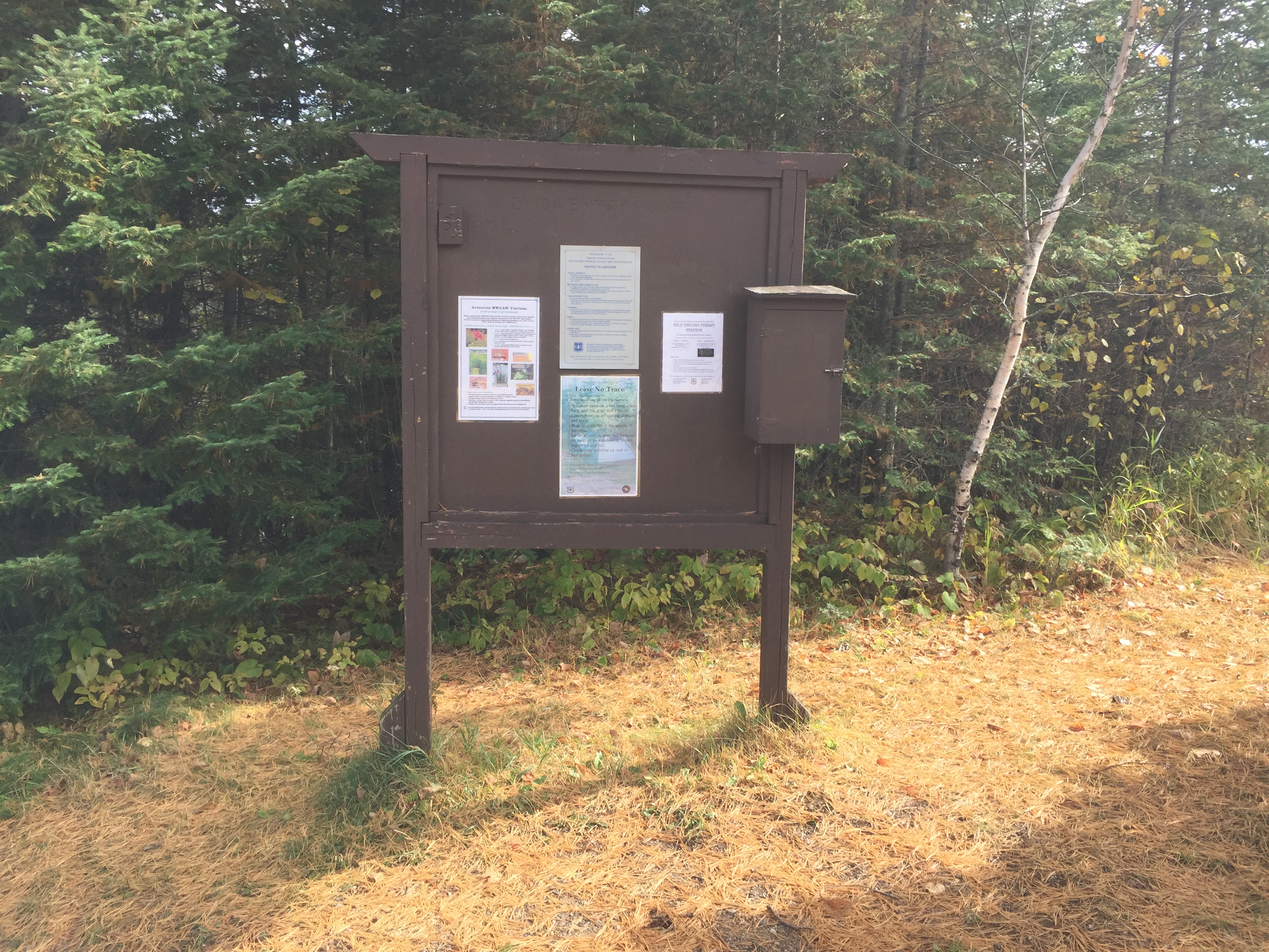
Looking at the bulletin board. Stairs down to the river are just to the left of it (June 15, 2019).
This is the now familiar bulletin board that you encounter at all entry points. The day permits are in the box on the right (September 4, 2022).
The old bulletin board. Was replaced with the one shown above sometime after 2019 (June 15, 2019).
A walkthrough of Entry Point #50 (Cross Bay Lake).
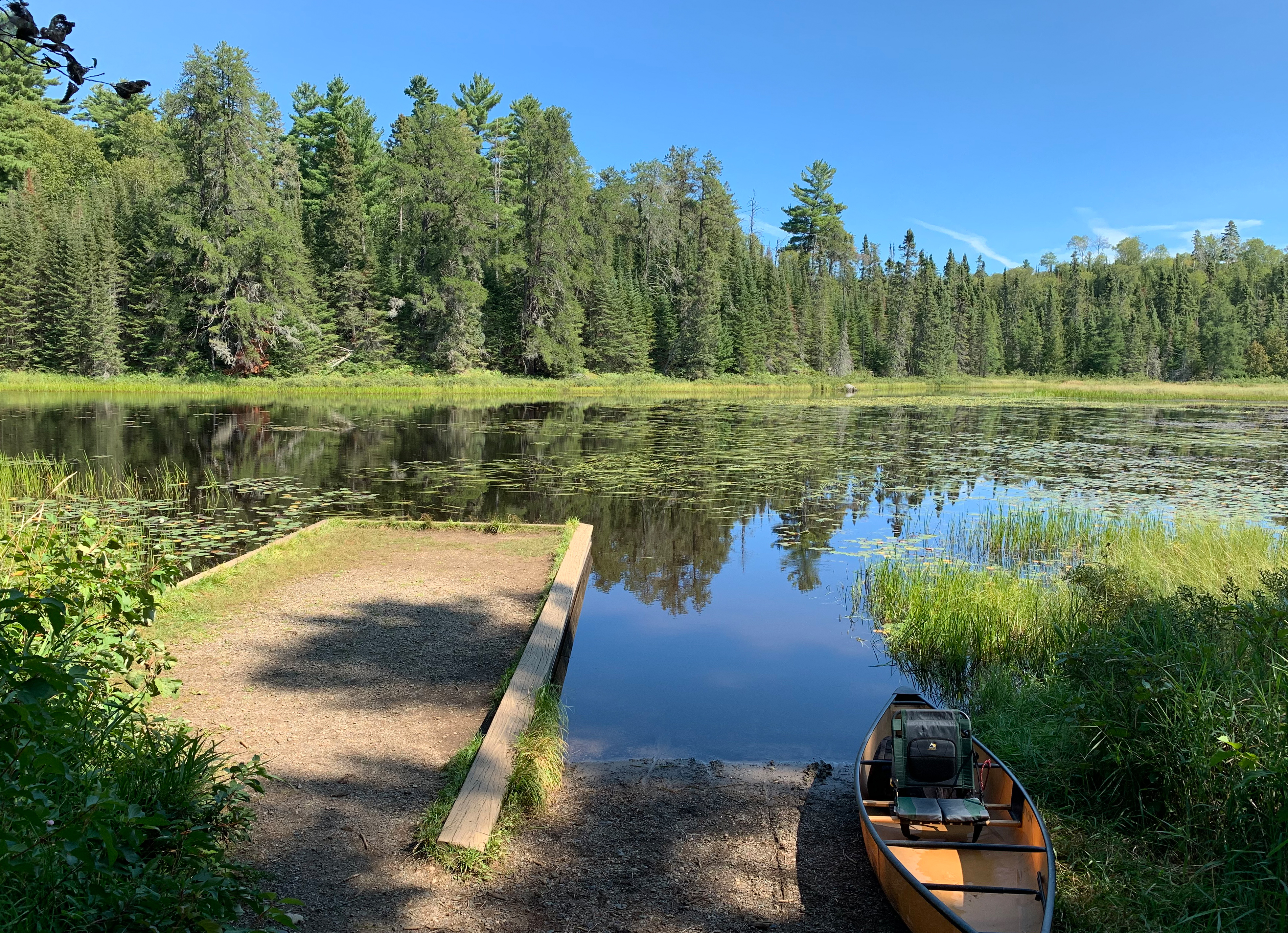
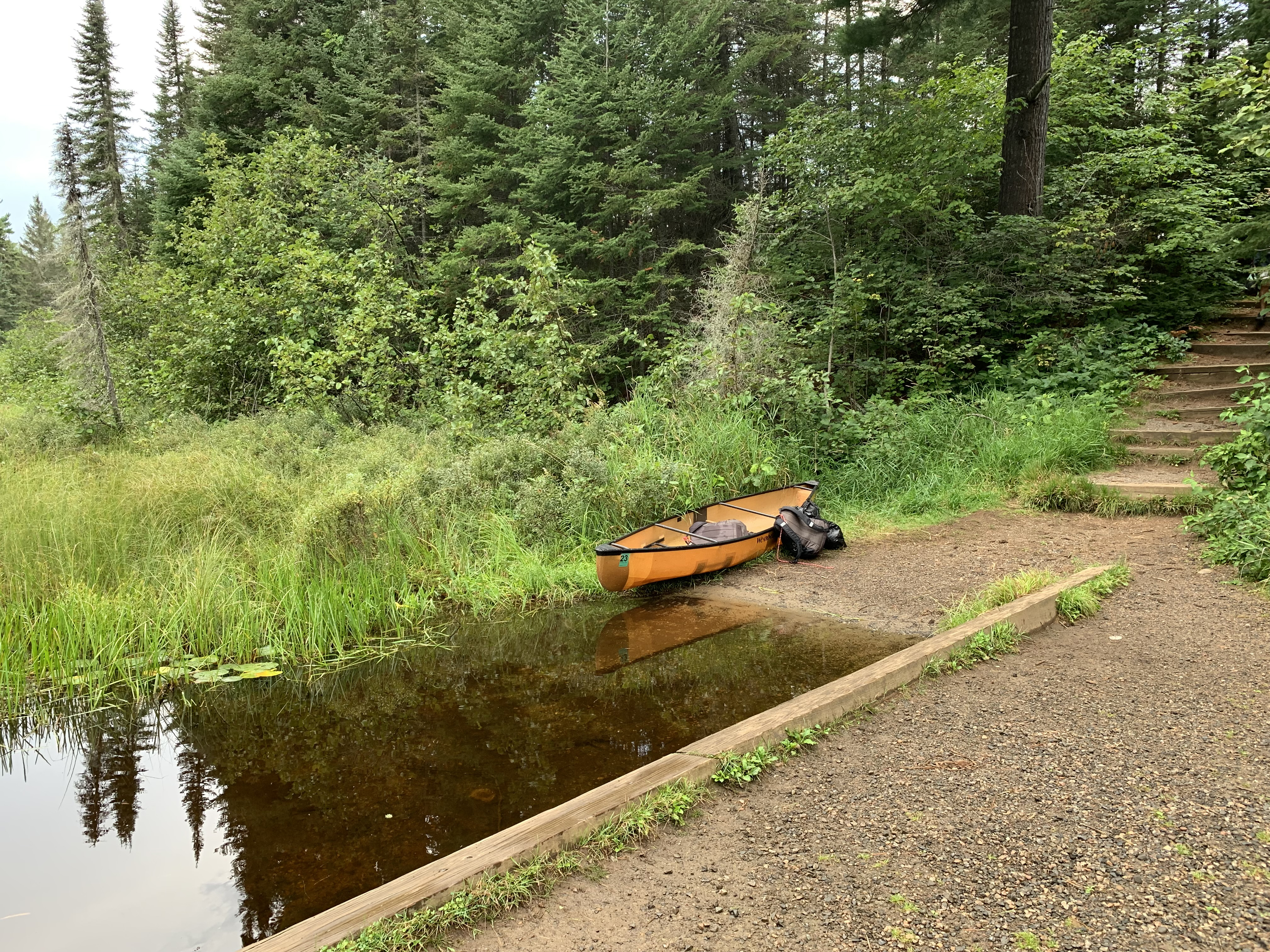
Canoe landing (September 4, 2022).
The steps leading up from the canoe landing on the Cross River. You would paddle to your right when leaving the landing, heading upstream along the Cross River. You actually must reach Ham Lake, cross that lake and then make a short portage before you ever reach the BWCA. Ham Lake offers four campsites and is maybe 45 minutes travel time from here (September 4, 2022).
View of the entry point landing from several years ago.
View from the bottom of the stairway that leads up to the parking lot (June 15, 2019).
View from the bottom of the stairway that leads up to the parking lot (September 4, 2022).
A view of the Cross River from the Entry Point #50 canoe landing (both are roughly the same view, but different times of year--Top is October 2015; Middle is June 15, 2019; Bottom is September 4, 2022). You paddle to the right from here to get to Ham Lake, which is upstream.