River Depth: Over 10 feet in places from the Entry Point #50 landing upstream to the source of the Cross River which is Cross Bay Lake
Fire History: 2007 Ham Lake Fire
River Length: From its source at Cross Bay Lake (although it could be Rib Lake, Lower George Lake or even Karl Lake that is the origination point of the river) to its mouth at Gunflint Lake, the river is only about 5 miles long. A tributary also drains Round Lake.
Campsites: 0
Wildlife Seen on Visit: Ducks
Last Visited: June 17, 2019;
Previous Visits: May 12, 2016 and October 9, 2015
River Elevation: Headwaters at Cross Bay Lake at 1706 feet. Mouth at Gunflint Lake at 1544 feet. The river loses 162 feet in just five miles.
Water Clarity: N/A
ROUTES/PORTAGES FROM THE CROSS RIVER:
To Ham Lake: Walk the 30 rod portage (into north bay of Ham Lake) - portage shown on Cross River web page below
Cross River
Gunflint Ranger District
This relatively short river probably starts in Cross Bay Lake, flows through Ham Lake and then flows toward the northeast where it eventually empties into the west end of Gunflint Lake. It is possible the river begins officially further south at either Rib Lake, Lower George Lake or perhaps Karl Lake.
Most of this river is not in the BWCA. However, it does provide entry to the wilderness through BWCA Entry Point #50, which is just downstream from Ham Lake.
The only part of the Cross River you are likely to paddle is from BWCA Entry Point #50 upstream to Ham Lake and then from Ham Lake into Cross Bay Lake and then further south. Paddle across Ham Lake and look for the portage a bit west down the shoreline from where the Cross River enters into Ham Lake's southeast corner. An easy 24 rod portage puts you back onto the Cross River again. The Cross River eventually morphs into Cross Bay Lake. There is some current along this stretch of the river and some gnarly sub-surface rocks which are all scarred by the countless scruffs they have received from metal canoe hulls.
References:
Beymer, Robert, Boundary Waters Canoe Area – Volume 2 – Eastern Region (Berkeley: Wilderness Press, 2006), 136, 139, 151.
Pauly, Daniel, Exploring the Boundary Waters (Minneapolis: University of Minnesota Press, 2005), 312, 313, 326.
Traveling the Cross River (Upstream)
Click on the photos below to see the full resolution image - Use your browsers back button to close photo and return to this page.
Because this is a river route, the portaging and paddling are all combined below onto this single page. The following series of photos and videos shows the entire route from BWCA Entry Point 50 until you reach the north end of Cross Bay Lake. (The downstream direction will be added later, although some parts of it are included below as noted.)
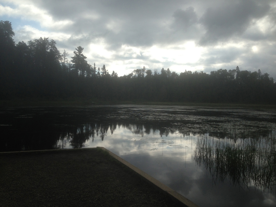
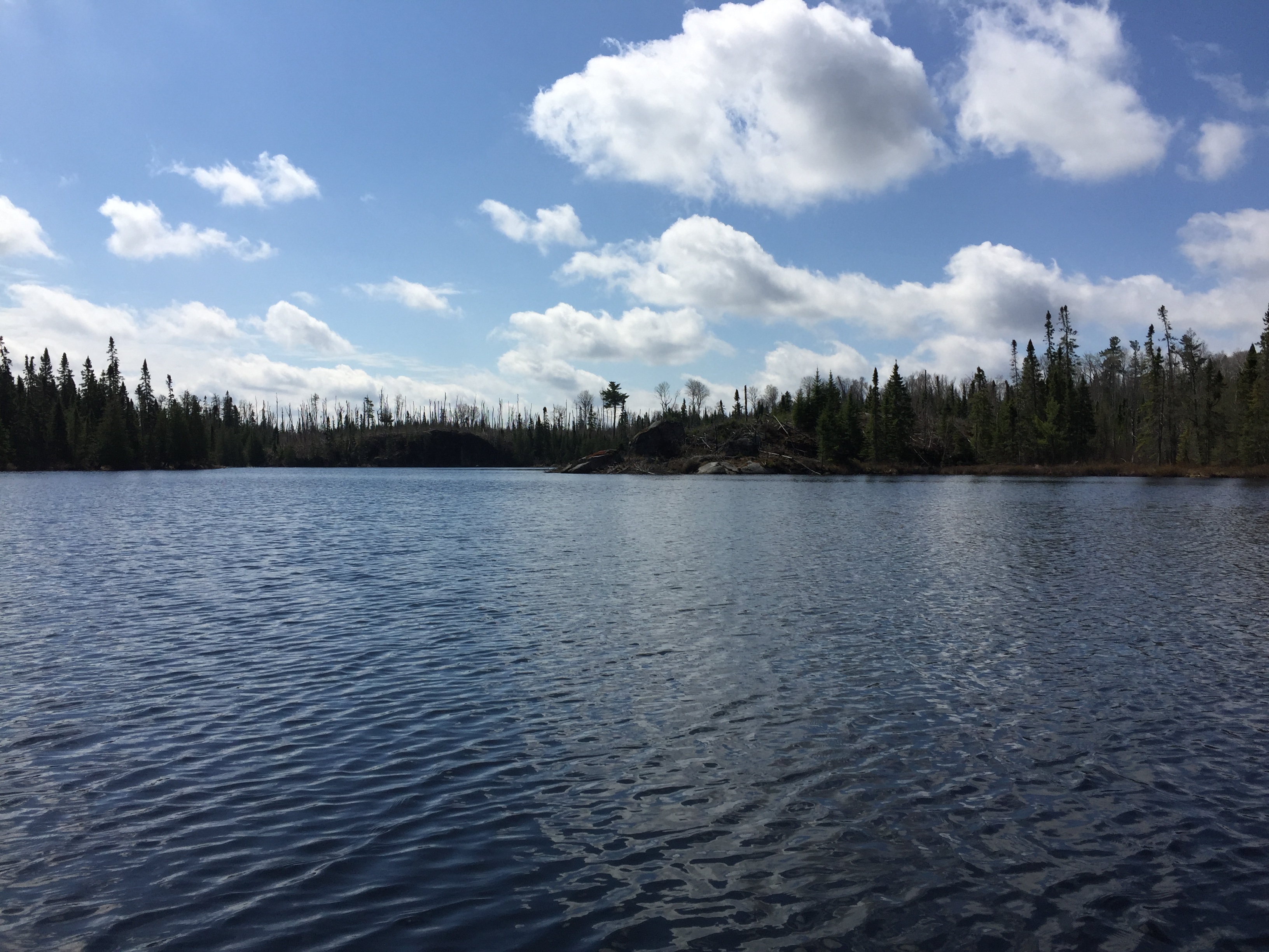
View from BWCA Entry Point 50 - Cross Lake landing. To the left of your view here, the river narrows and picks up speed as it makes its way toward Gunflint Lake, about four miles further on. The Cross River follows the Gunflint Trail for part of its route to Gunflint Lake. (May 2016)
Another view of the entry point on a mostly sunny afternoon in early summer. (June 2019)
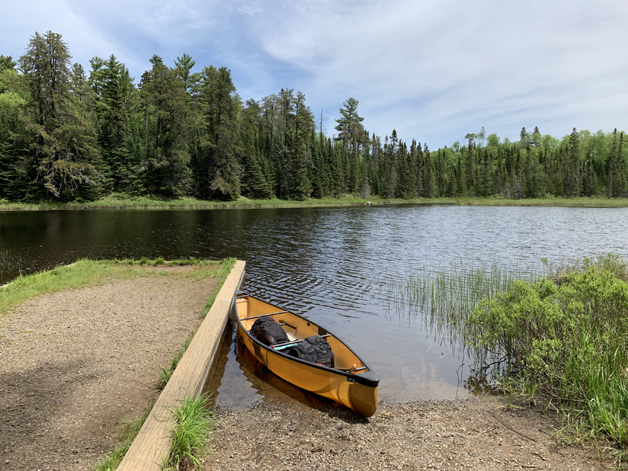
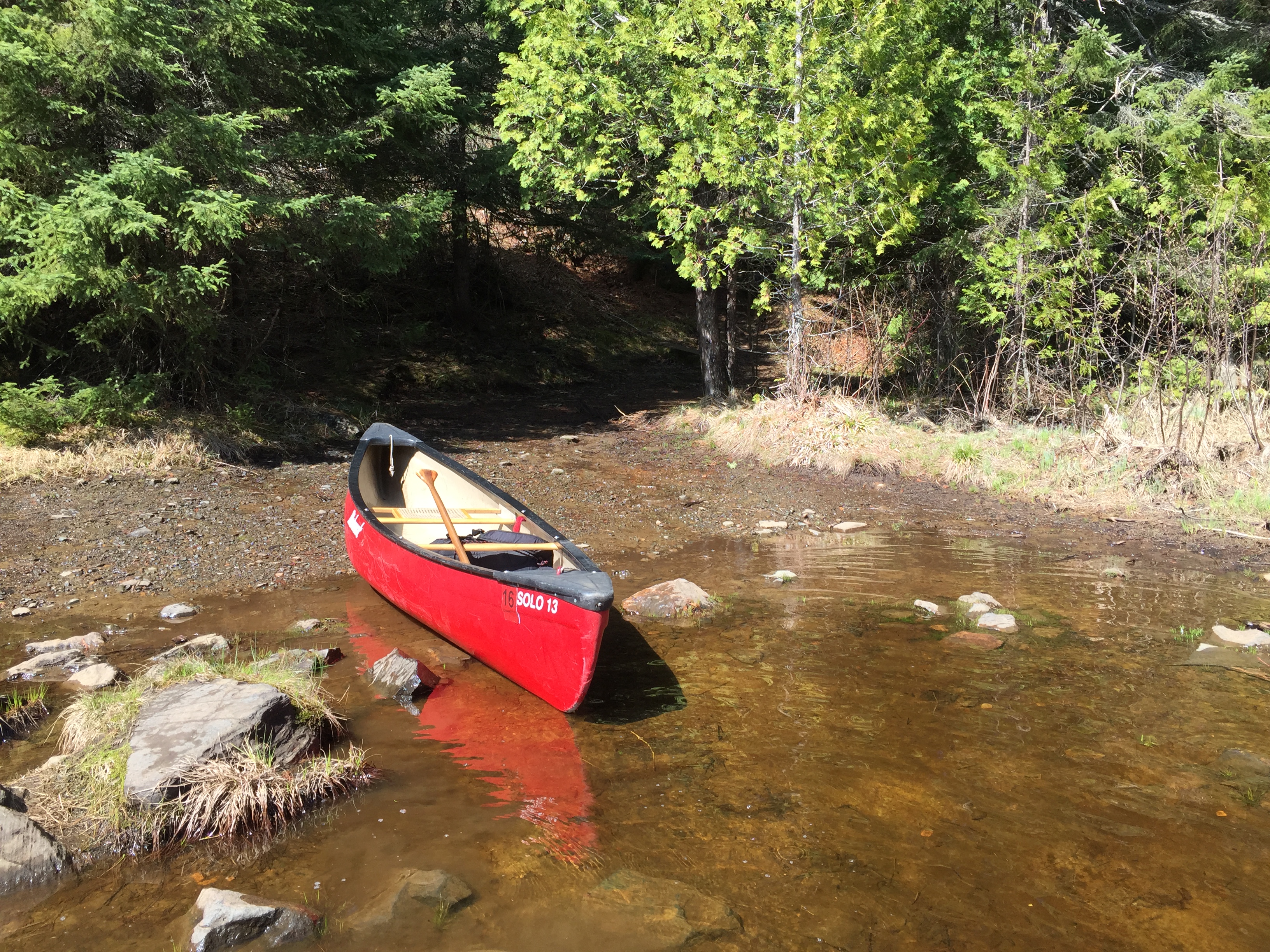
Leave Starting from the BWCA Entry Point 50 dock, paddle upstream (to the south) to the first portage. This is a 66 "rodder" and has a flight of steps at the beginning.
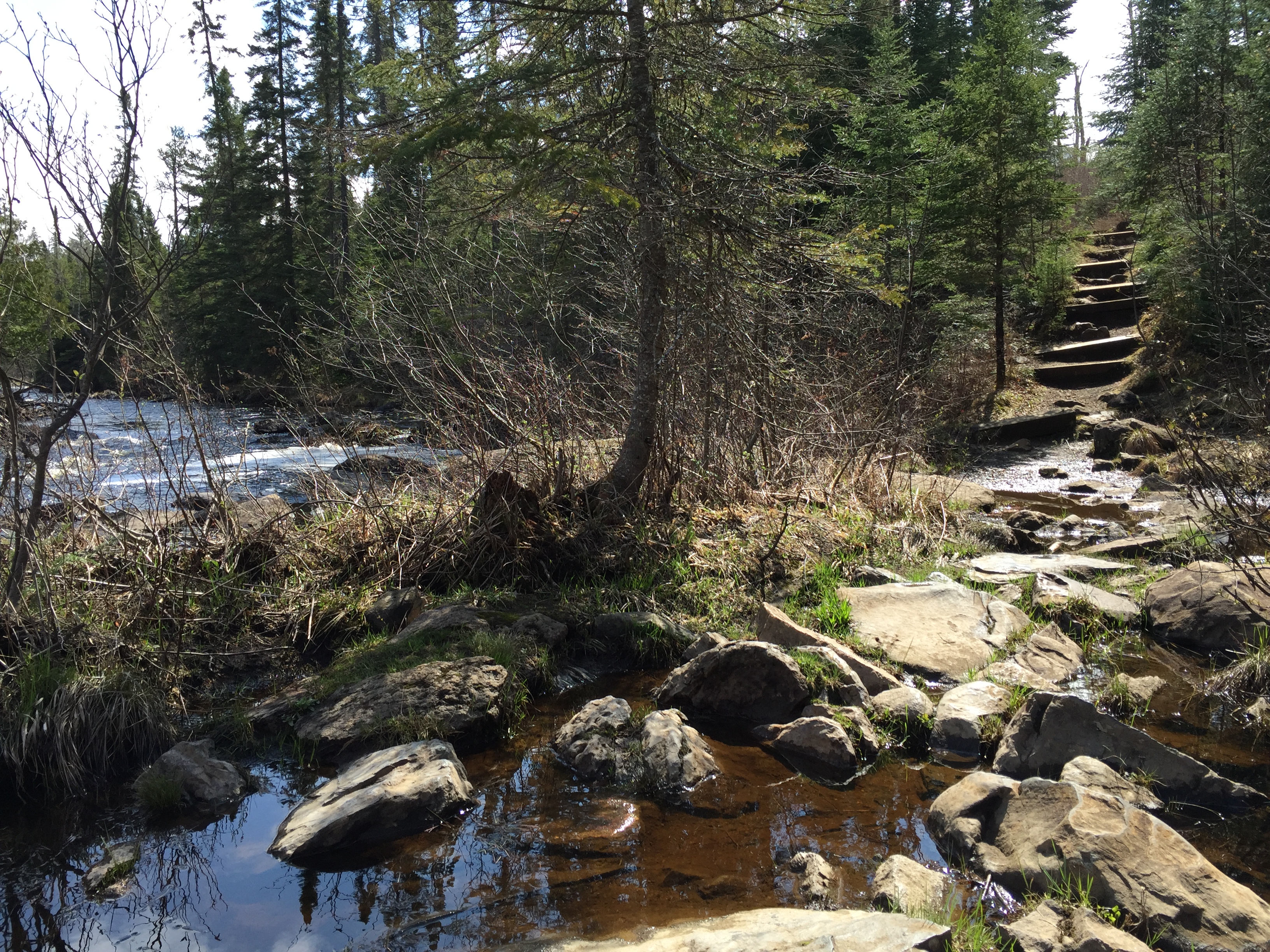
The start of the 66 rod portage heading in the upstream direction. This is early spring so the water is higher than usual.
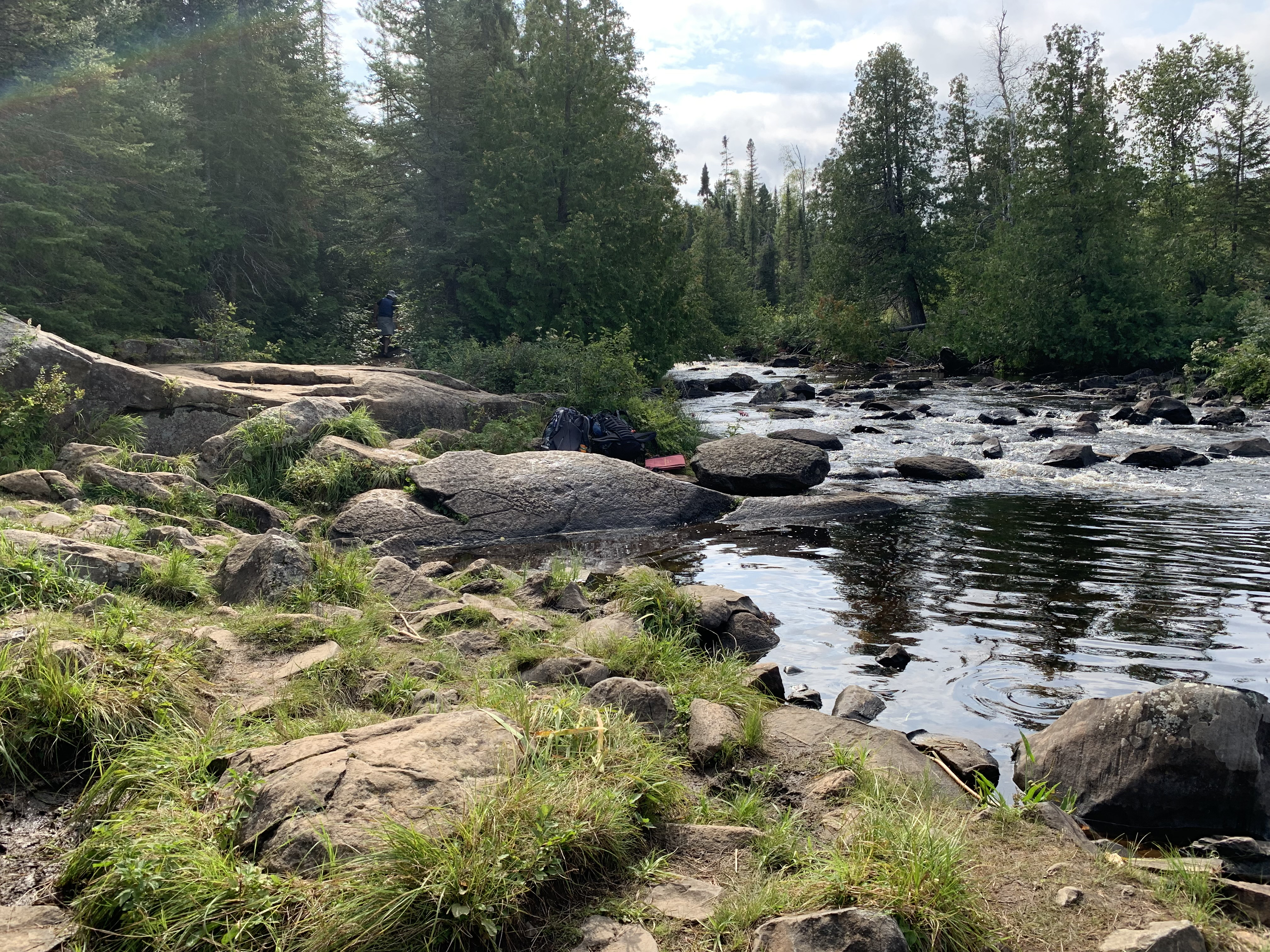
Looking just to the left of the portage landing at the outflow of a small rapids. Most folks find that this is a rough place to land a canoe (September 2, 2022).
Similar view to that shown above (July 15, 2019).
View downriver from the 66-rod portage (September 2, 2022).
An easy 66 rod portage. This portage is wetter than usual because this is early in the spring. The portage basically climbs up the steps, eventually plateaus and then drops back down (a few more stairs here) to the Cross River at a nice, smooth canoe landing.
Same portage as above, but the direction is downstream instead.
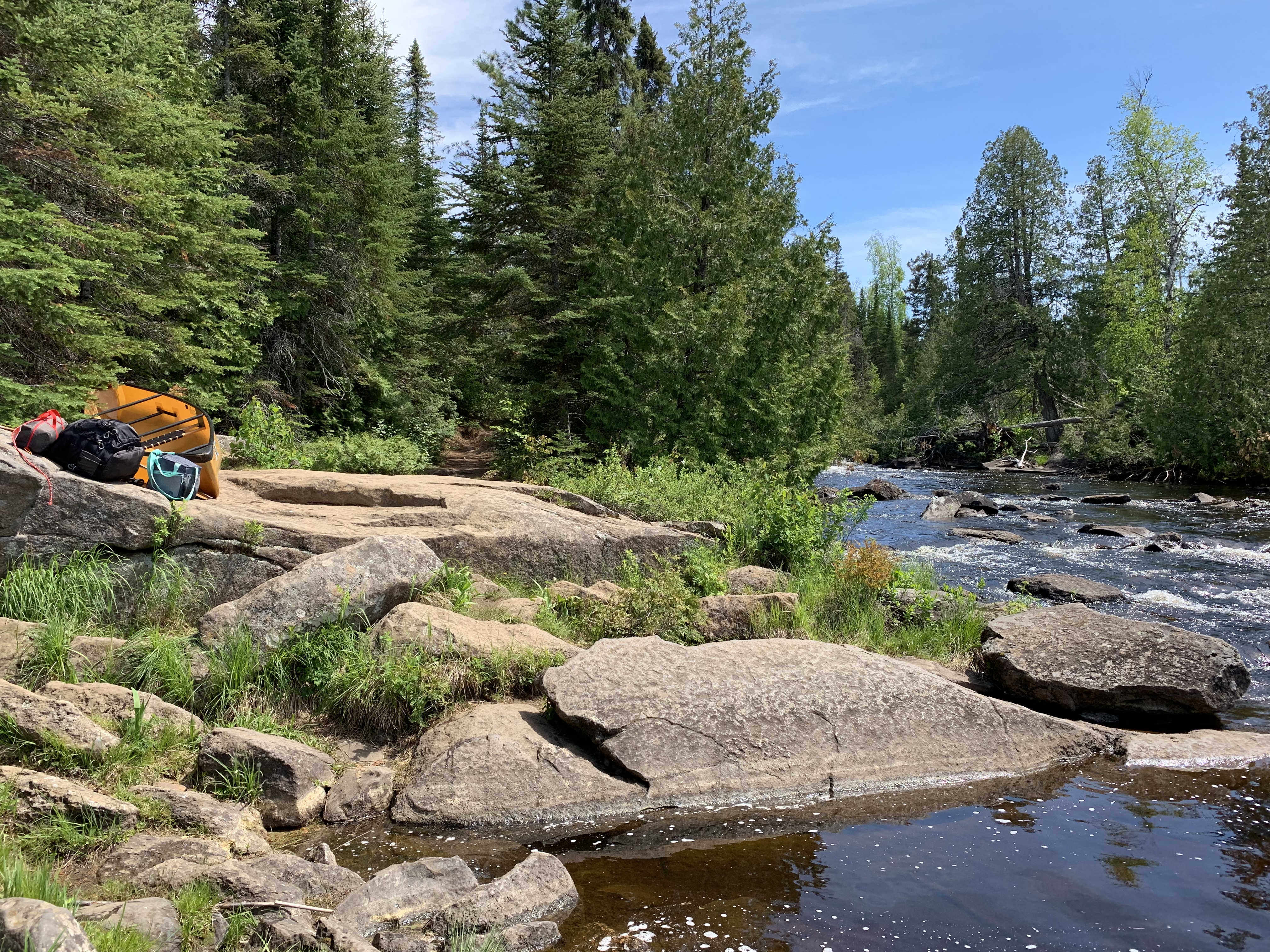
The upstream side of the 66 rod portage. To the left, the Cross River hurls over some modest rapids. To your right, just visible, is a small lake (wide section of the river). You head to the right from here once you get your gear back into your canoe. This view is in spring time (May 2016) and the water is high compared to the average summer level.
Another view of this portage as seen from the water. This is the upstream end of the 66 rod portage.
This is what it looks like in early summer (mid-June 2019).
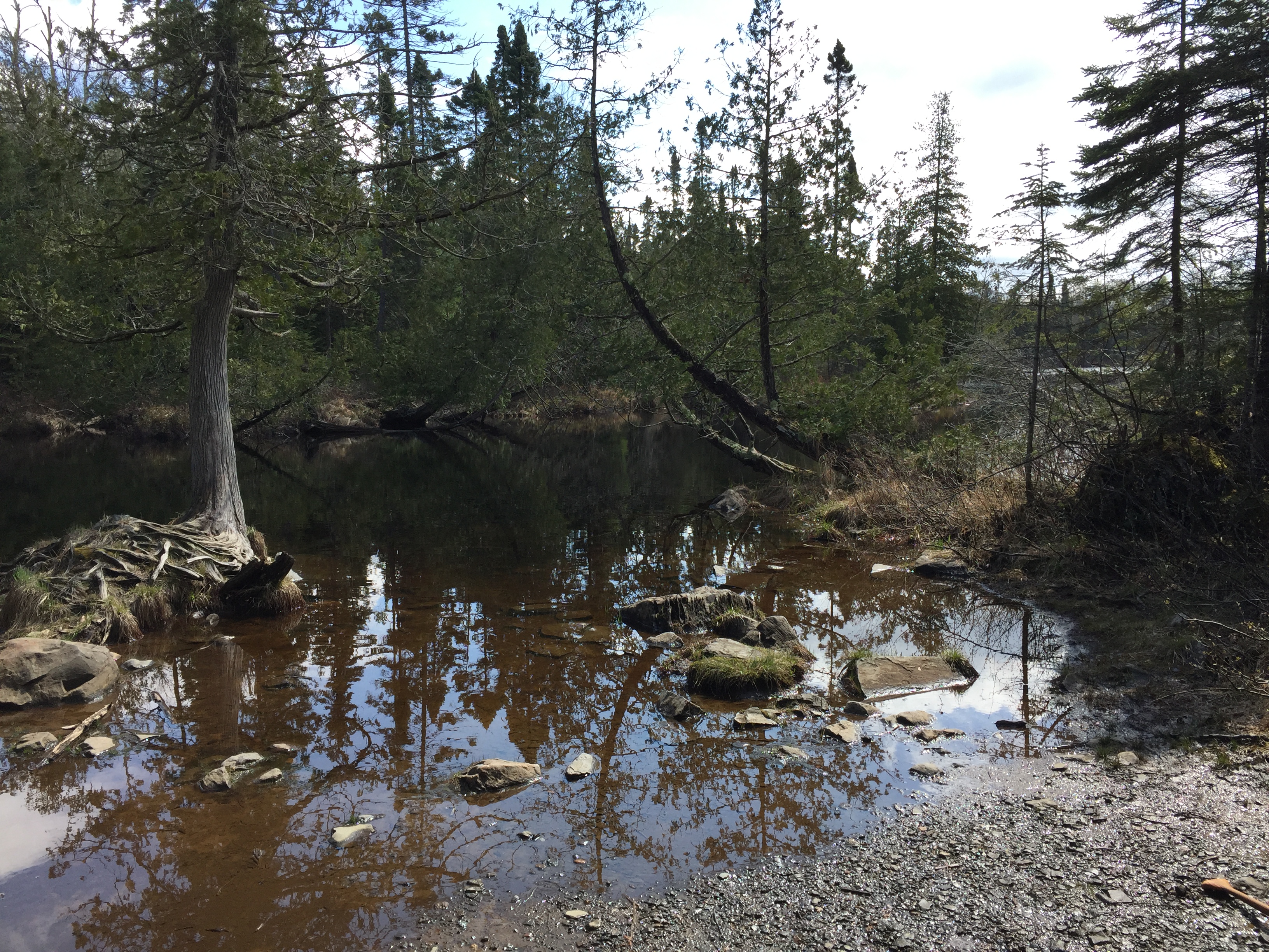
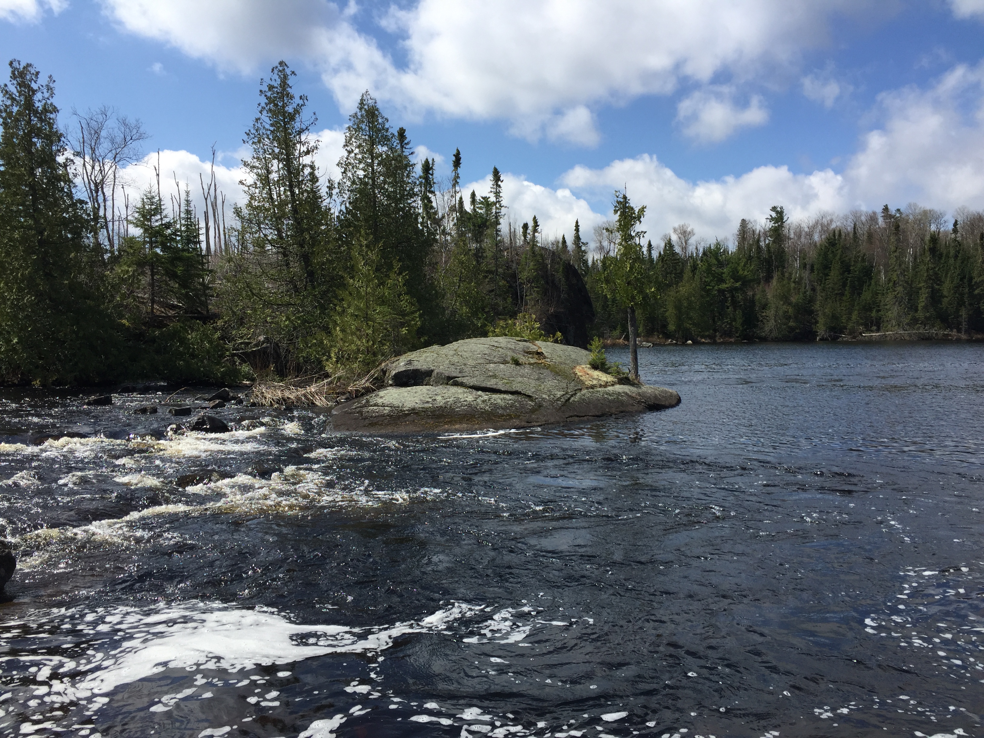
Head to your right (upstream) along the Cross River for a short ways until the river becomes more like a lake. The south end of this "lake" is where you can first see the signs of the 2007 Ham Lake Fire. The paddle continues until you reach the next portage at the tail end of some fairly strong rapids. This is the 30 rod portage that leads to Ham Lake.
The first signs of the Ham Lake Fire of 2007 are visible along the south end of the unnamed lake that you canoe across between the 66 rod and 30 rod portages. Your view here is to the south.
Start of the 30 rod portage that leads from the Cross River to Ham Lake. This landing is not the greatest; very rocky and you need to keep a hand on your canoe so the current doesn't sweep it away. There is a big step up onto that rock ledge in the background. After that, the portage is a simple thing. This view is during spring. (September 2, 2022).
Start of the 30-rod portage, headed in upstream direction - similar to view above (June 2019).
Similar view as that shown in image above (May 12, 2016).
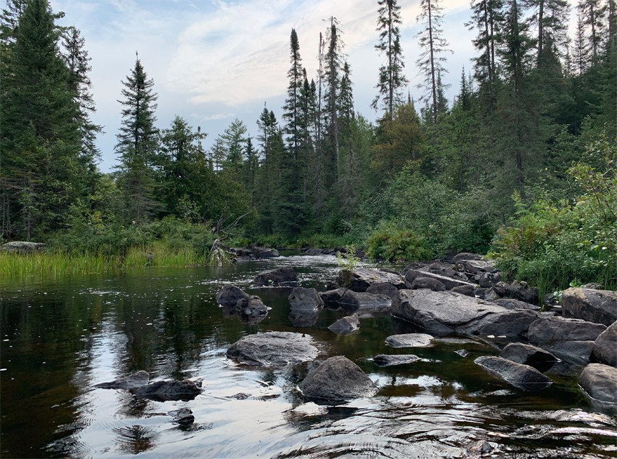
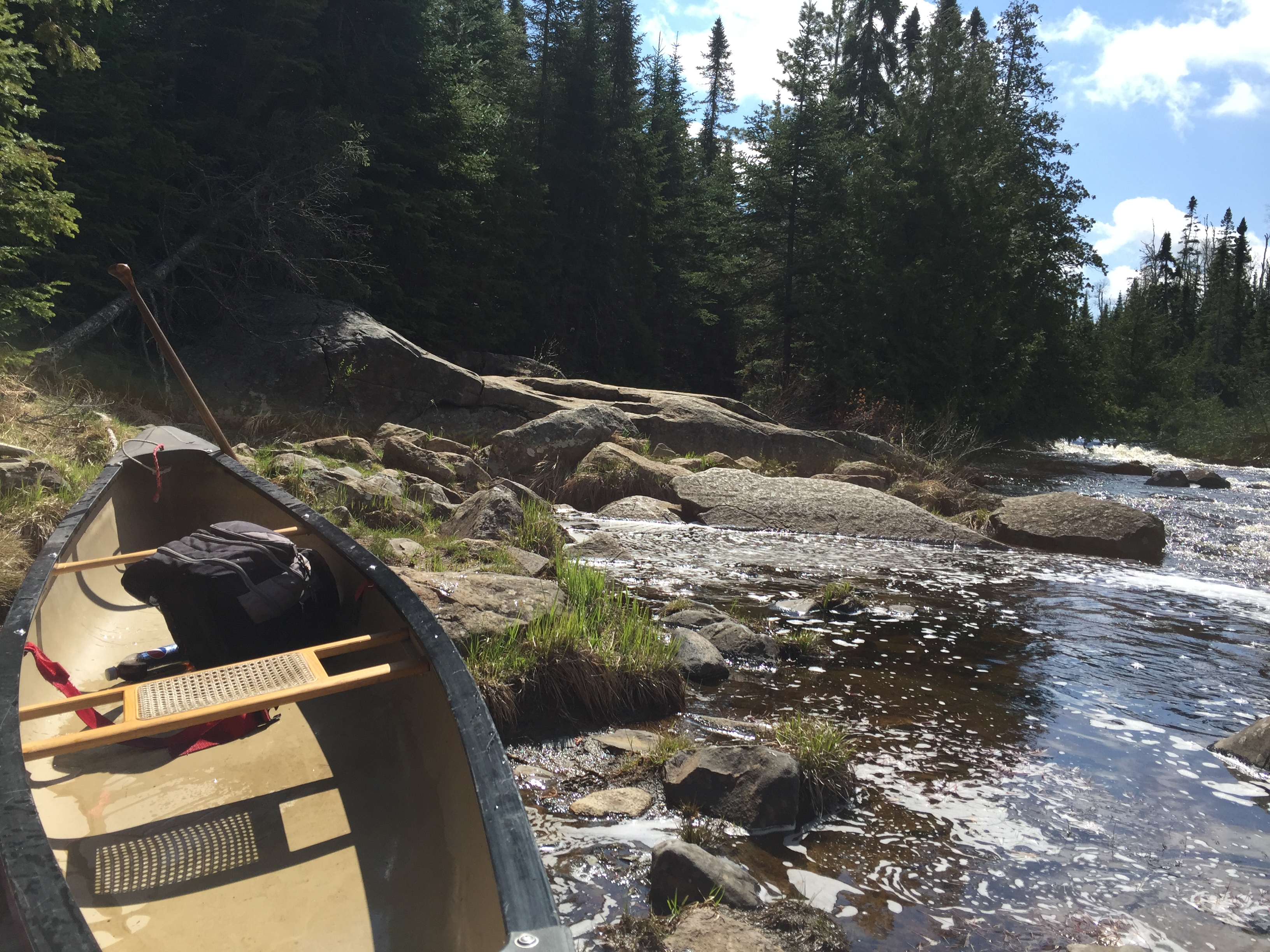
Tail end of the rapids along the Cross River. These rapids are at the start of the 30-rod portage when heading upriver (September 2, 2022).
Similar view as shown above (May 12, 2016).
View downstream from the downriver end of the 30-rod portage (September 2, 2022).
A quick portage along a well worn path to the top of the rapids (heading upriver). The version on the left is during a higher water period in May 2016. The view on the right is in mid-June 2019. At the end of the portage is your first view of Ham Lake as you head upstream. This is the tiny bay that extends out of the north side of Ham Lake.
This is the 30 rod portage shown above, but the direction of the portage is downstream (during mid-June 2019).
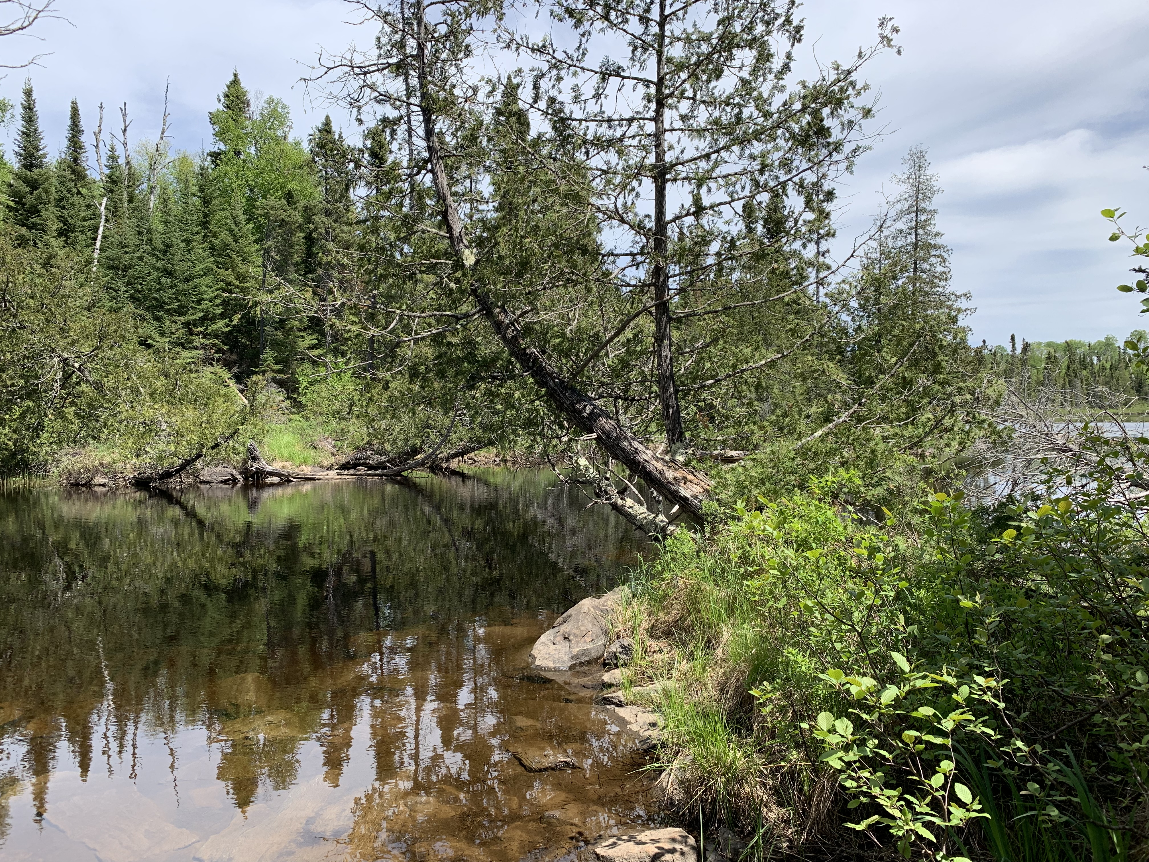
Looking toward the south across the little bay on Ham Lake's north side. Head to the Ham Lake page if you want to see the next part of this route.
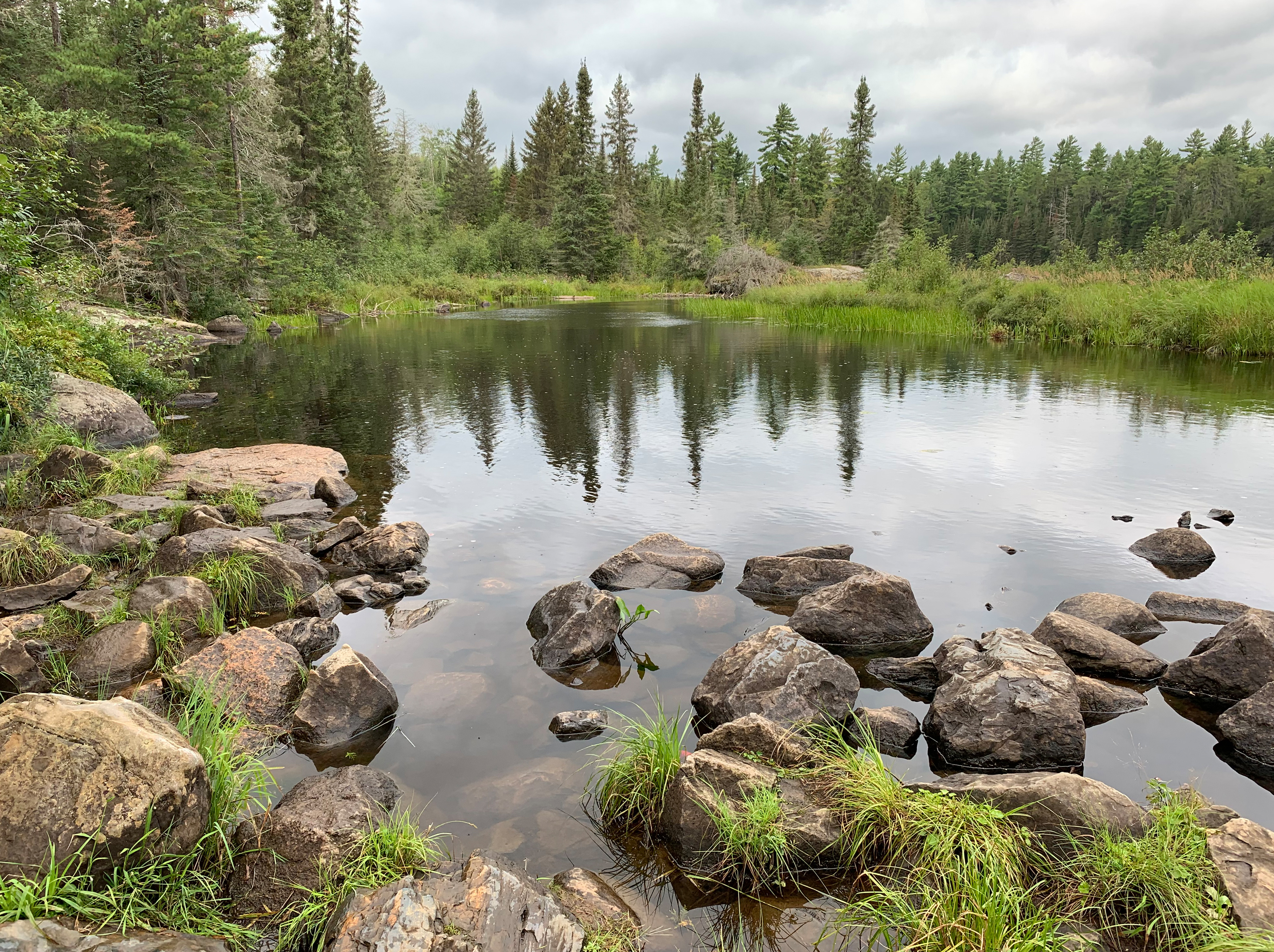
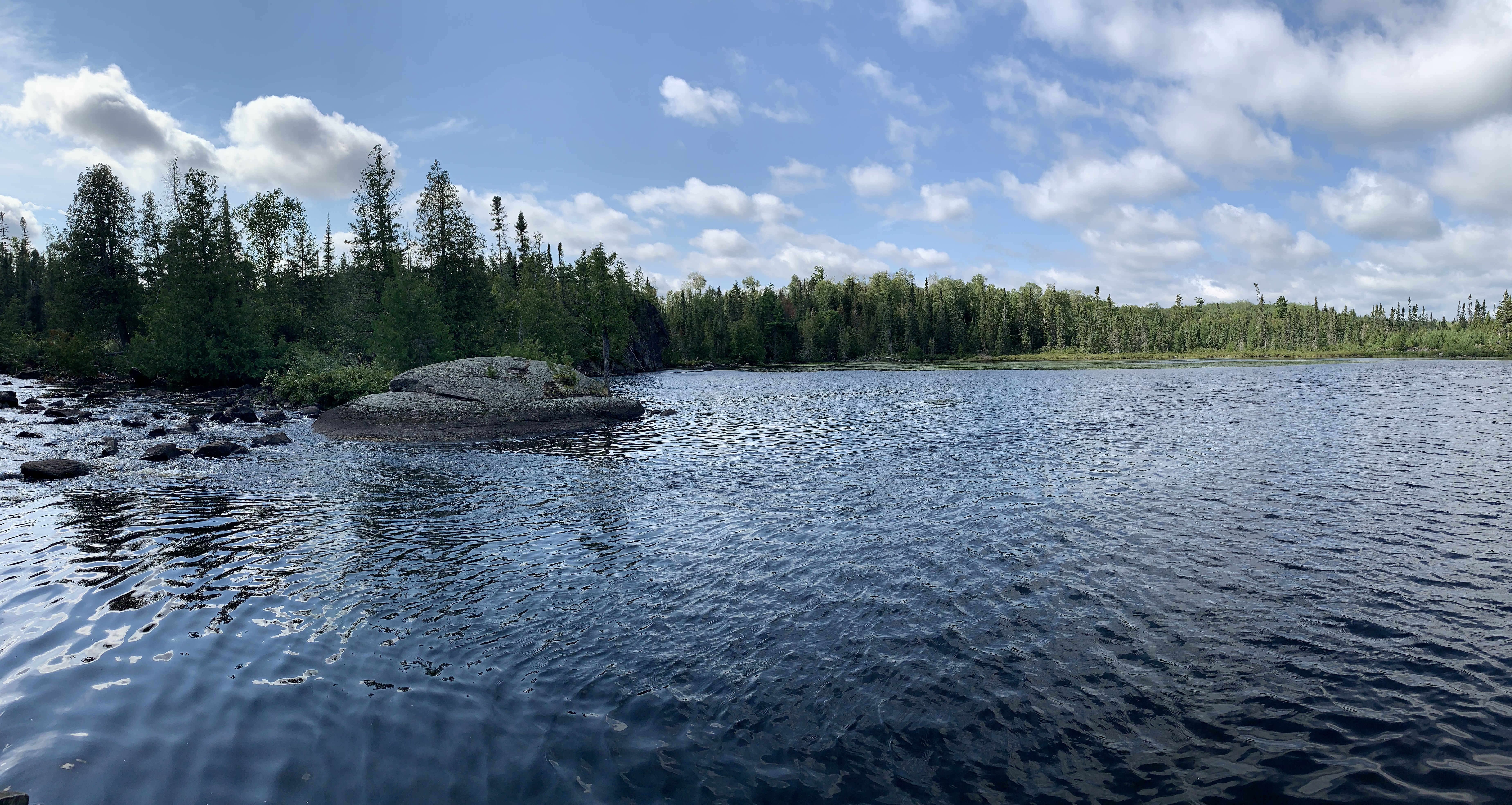
This is a view of the Cross River looking upstream from the start of the 24 rod Ham Lake portage. This is the portage on the southeast corner of Ham Lake that leads toward Cross Bay Lake, which is to the south. The river flows right to left in your view here and tumbles over some rapids into Ham Lake out of view to your left (you don't want to go this way). The river grades into Cross Bay Lake (hard to tell what is lake and what is river) as you head further upsteam to the right. Cross Bay Lake is probably the Cross River's headwaters (although it is possible it is another in a series of lakes to the south.
Visit the Cross Bay Lake page to continue along this route.
Route Connections for the Cross River
From the Cross River, you can portage to Ham Lake. You can also paddle into Cross Bay Lake.