Last Visited: May 12, 2023; Previous Visit(s): July 10, 2016
Maps: Fisher F-4; McKenzie #19
Daily Quota: 2
Fire History: 2011
Nearest Ranger Station: Tofte Ranger Station, Tofte, MN along Hwy. 61 on the North Shore
Portage Length from Parking Lot: 250 rods
Restroom at Entry Point: No
BWCA Entry Point 67 - Bog Lake
Tofte Ranger District
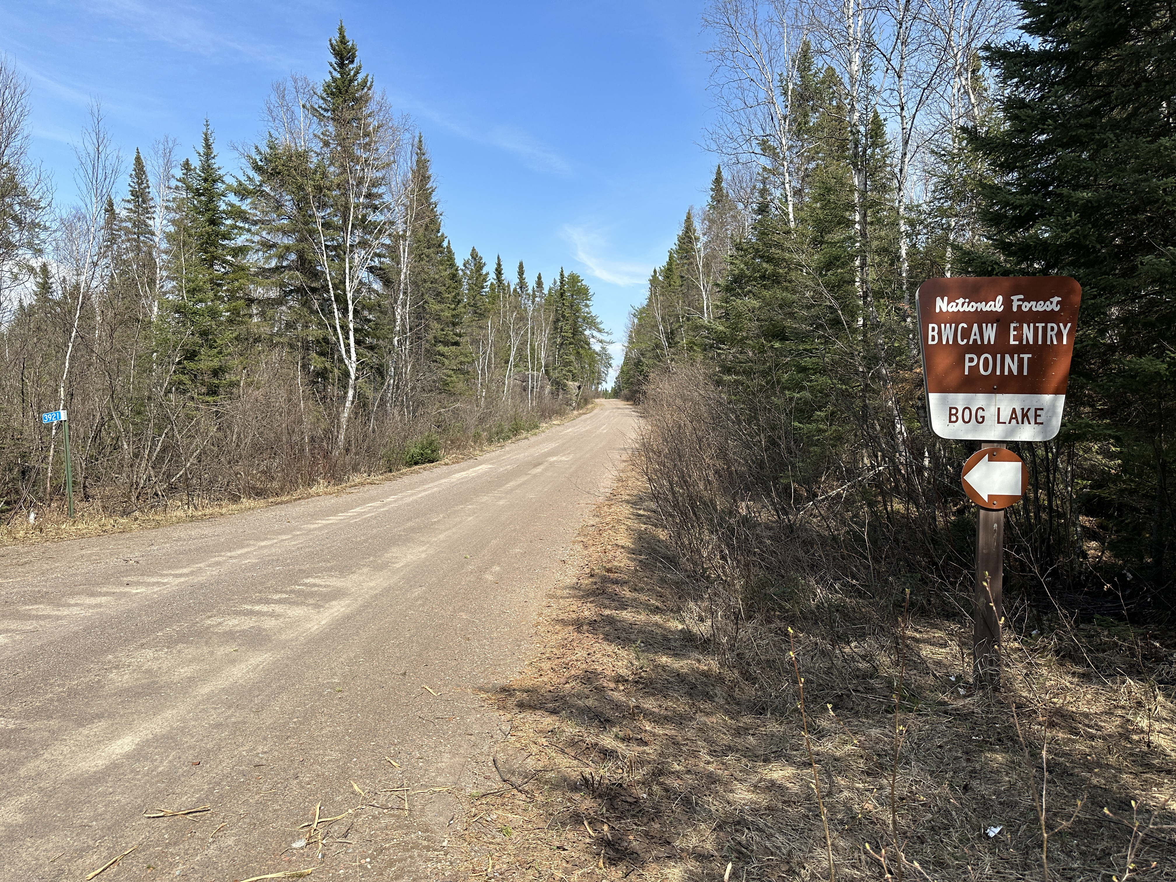
Take Forest Road 377 to the Bog Lake Entry Point. It is the same road as that for the Island River entry point and the Lake Isabella entry point. In fact, the Island River is just three miles down the road to the east (past Bog Lake) if coming from Highway 1 and the town of Isabella. From Minnesota Highway 1, head to the town of Isabella if coming from the North Shore (Lake Superior). Once in Isabella, just head out of town on Forest Road 912. There are many signs along these gravel forest roads that show the mileage and direction to the many BWCA entry points in the area. The signs are posted at almost every intersection.
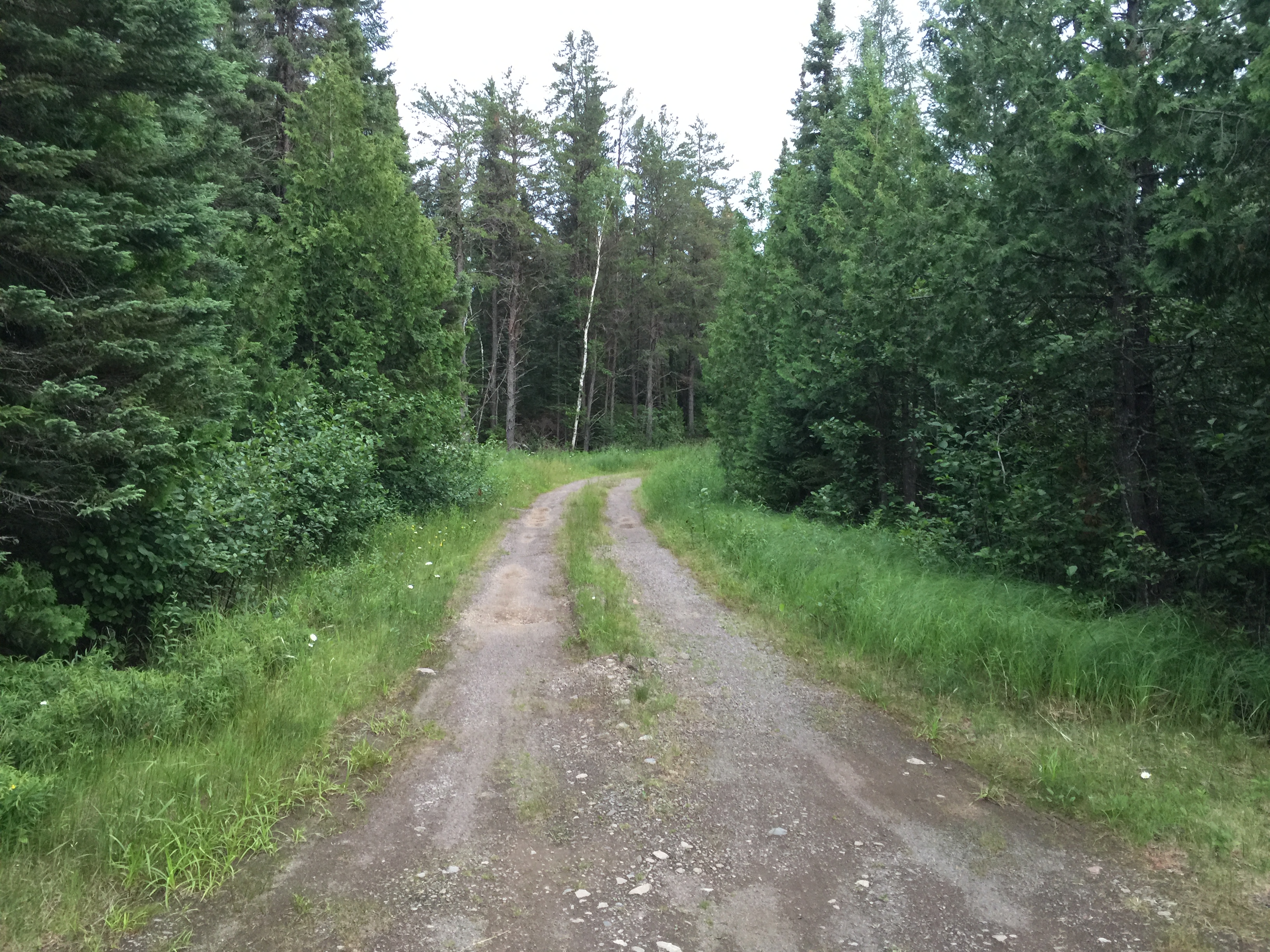
Driving out to the entry point is only half the battle when it comes to getting to Bog Lake. From the BWCA Bog Lake Entry Sign along Forest Road 377, turn onto the access road. This access road really sucks. By mid-summer 2016, it had grass growning down the middle ridge (hump) of the road over two feet high in places. Makes for some unpleasant sounds coming from underneath your car. If you have a low riding passenger vehicle, you will want to drive this slowly and carefully. Four-wheelers will have no trouble. There are some good sized potholes and there can be a boulder or two hidden in the tall grass growing in the middle of the road. It is a fairly long drive down this miserable little road too until you get to the overgrown parking lot. As soon as you step from your car, you will likely be dive-bombed by a few million mosquitos, black flies and deer flies. They don't call this Bog Lake for nothing.
Things don't get easier once you get your gear sorted out and are ready to head to the lake. It is a 250 rod portage to Bog Lake from the parking lot. This portage is very overgrown and had a fair amount of deadfall that you have to climb over or bushwhack around. The bugs will happily suck your blood all the way from the parking lot to the lake.
Once at Bog Lake, the scene is not disappointing. This is a pretty lake. The area where the canoe landing is as well as most of the south half of the lake is forested. The north half of Bog Lake was burned to the ground by the 2011 Pagami Creek Fire.
There are no other routes out of Bog Lake. You are here to stay (or flee back to your car). A good entry point for daytrippers or those looking for a short weekend trip.
Exploring the Entry Point
Click on the photos below to see the full resolution image - Use your browsers back button to close photo and return to this page.
Sign for Bog Lake along Forest Route 377. Turn onto the entry point access road here (May 12, 2023).
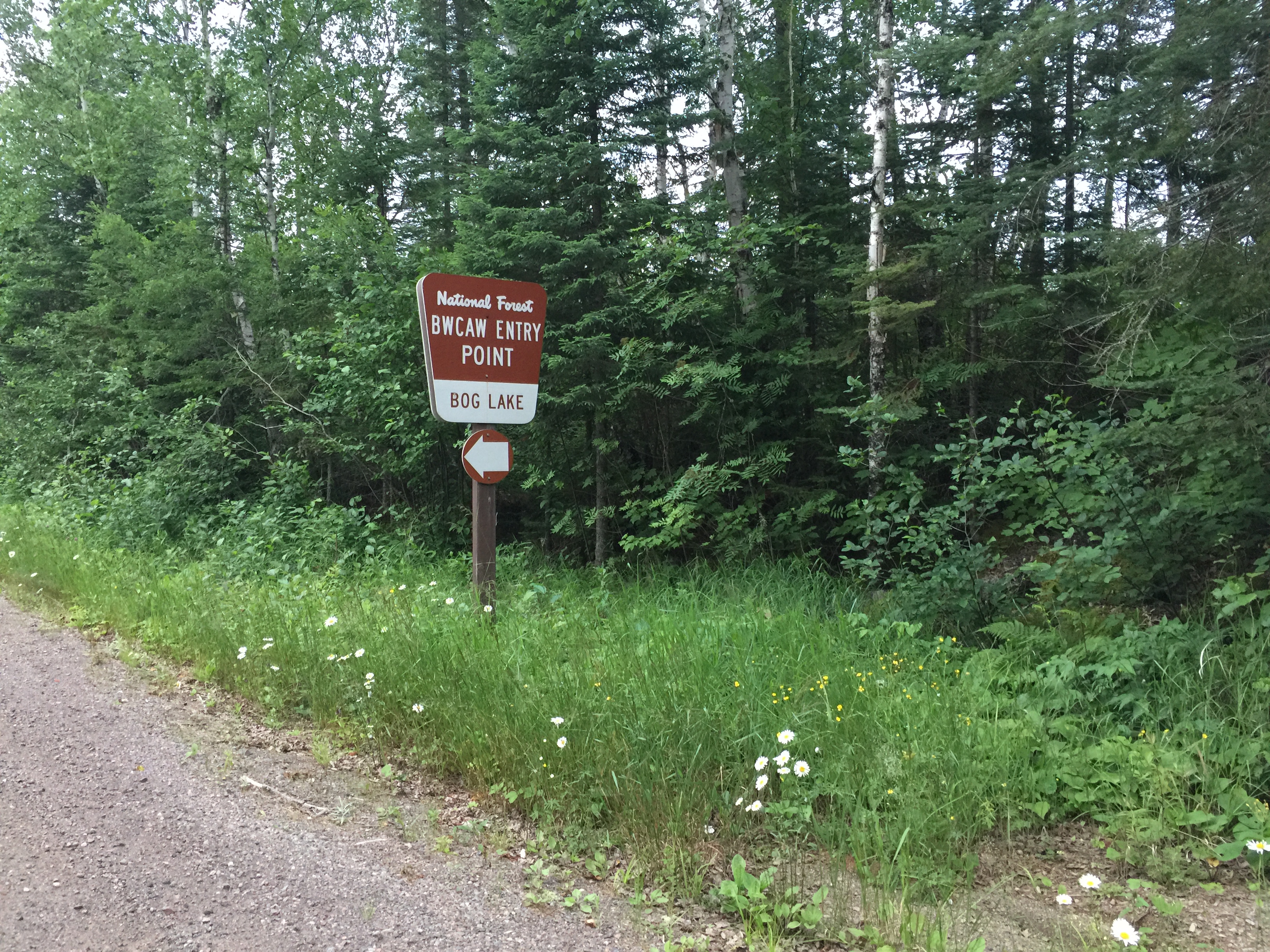
Past view of this sign (July 10, 2016).
This is a view of the access road from the parking lot. The grass is taller and thicker than you see here in many parts of this fairly long access road. Be careful if you have a low clearance vehicle because there is an occasional boulder or small log hidden in the grass that grows down the middle of the road in mid-summer that will "crunch" your car (July 10, 2016).
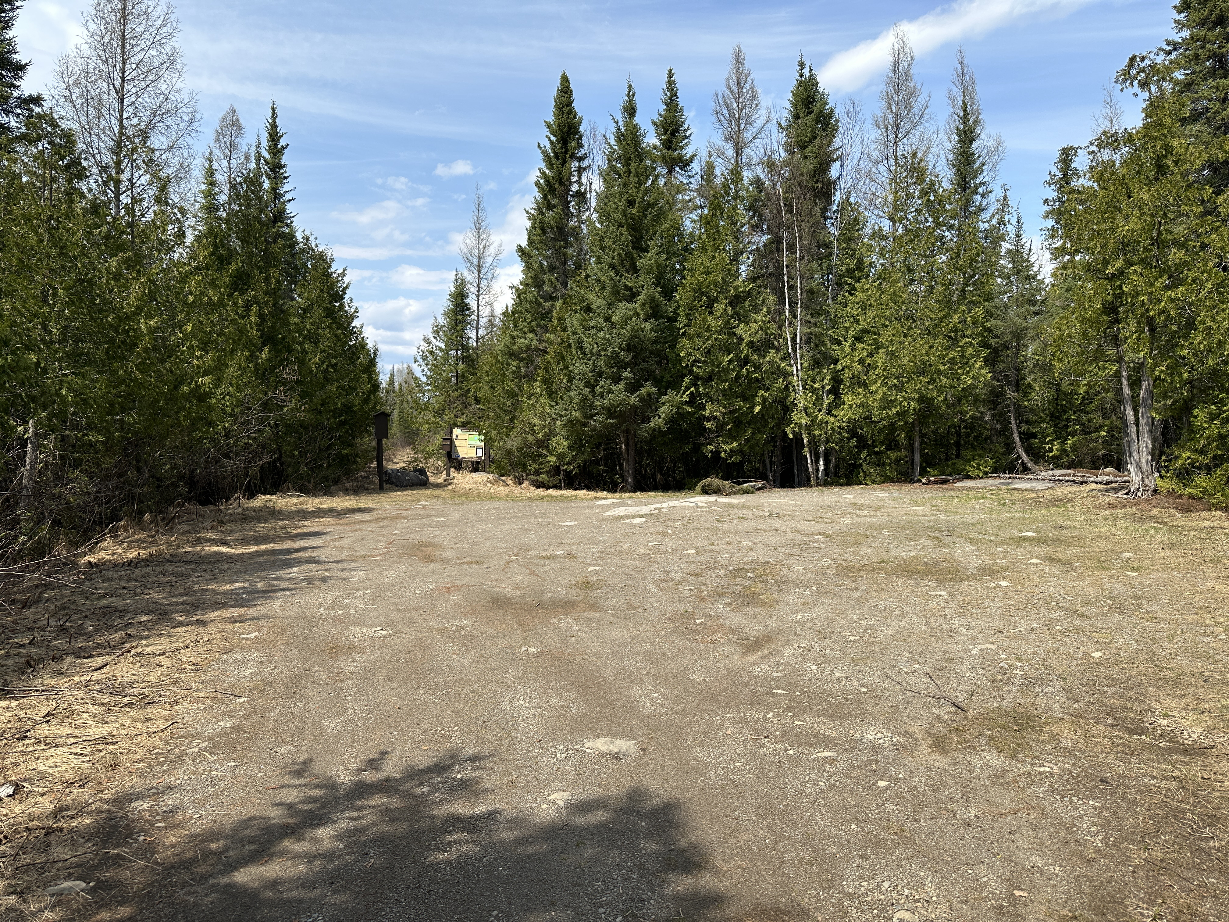
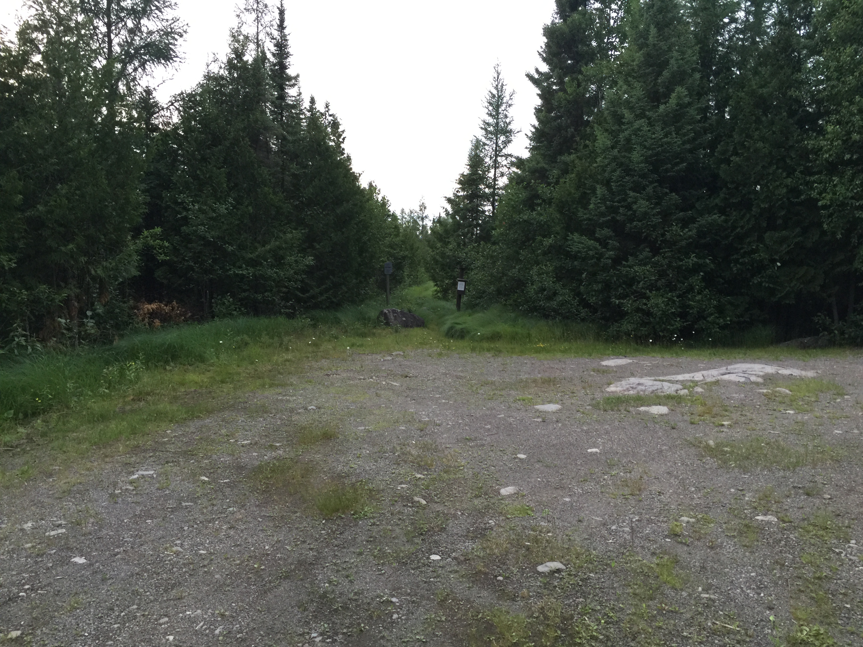
The Bog Lake parking lot. It is fairly small, a bit overgrown and can be swarming with bugs (at least in July it was). The portage of 250 rods begins in the middle of your view (May 12, 2023).
View of the parking lot from a few years before. Similar view to that shown about (July 10, 2016).
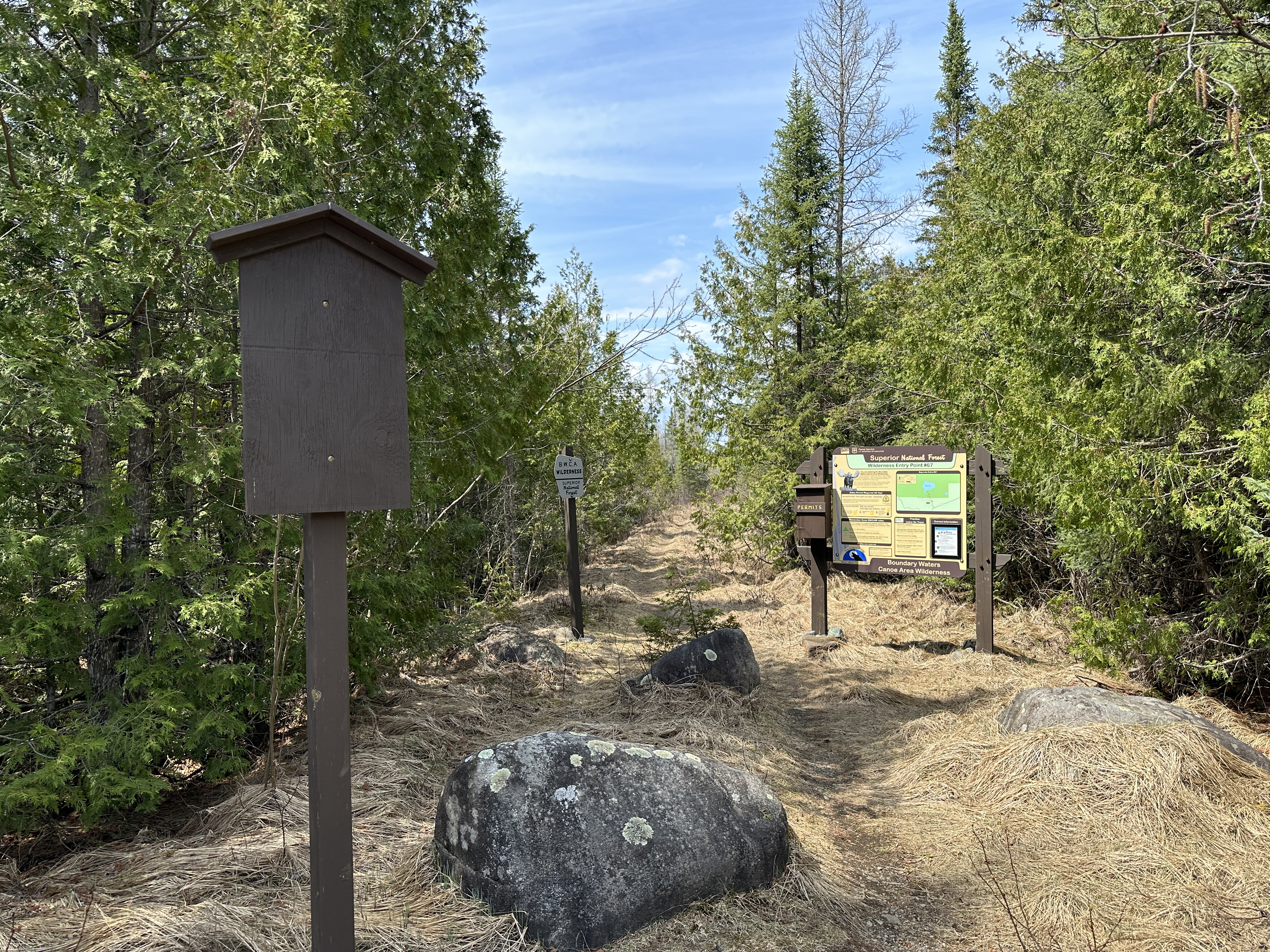
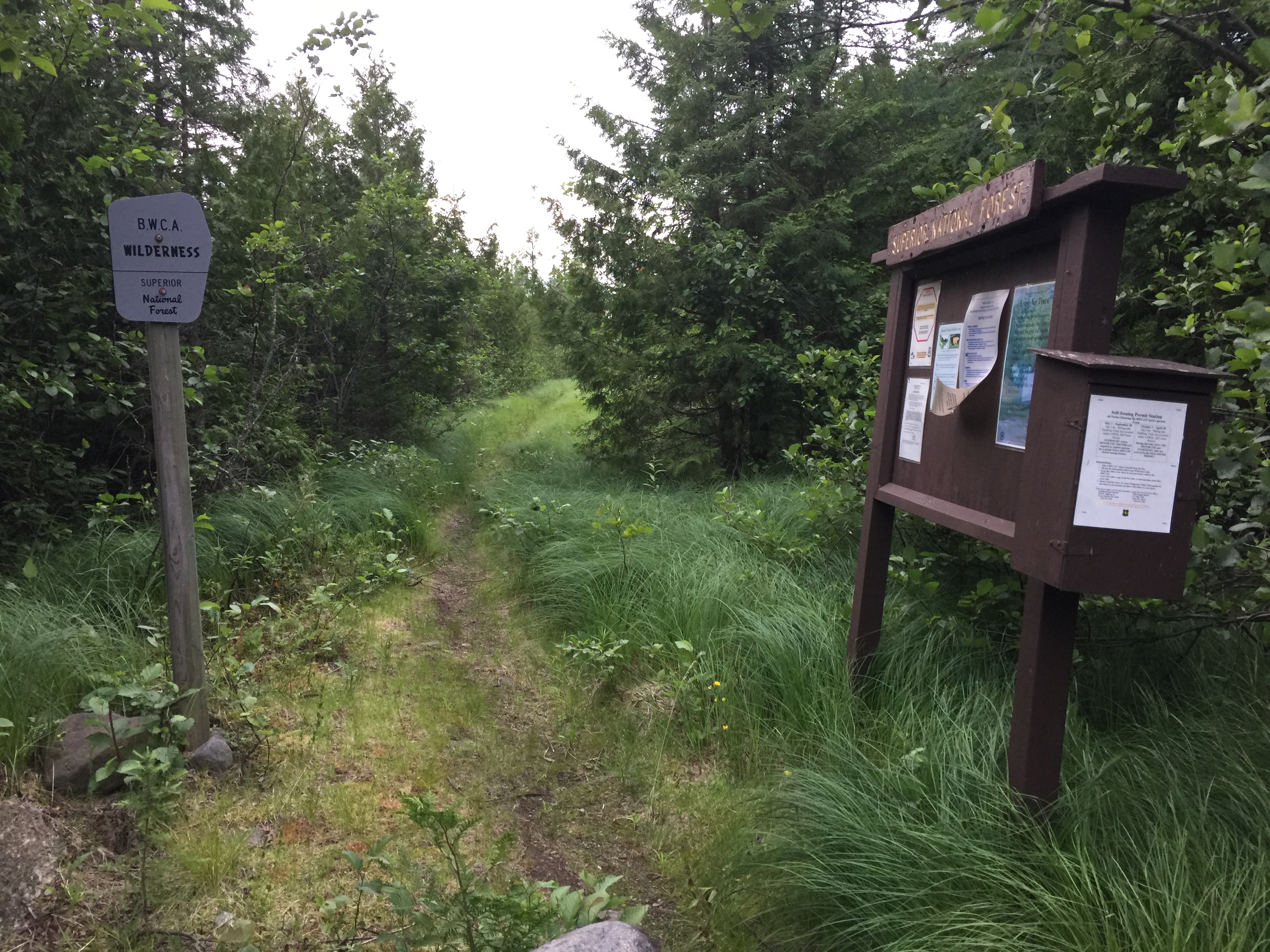
The bulletin board, the official BWCA boundary marker and the beginning of a rough portage that goes from the parking lake to the shore of Bog Lake. The portage starts out traversing a bog (go figure) and then enters a hilly forested area. The beginning of the portage is wide and was probably once a road. Bulletin board was replaced sometime after July 2016. (May 12, 2023)
Similar view as that shown above from several years earlier (July 10, 2016).
What you can't see in this video is the hordes of mosquitoes coming for the banquet. What you can see is that there is a lot of overgrowth, downed trees and a little muck to deal with along this 250 rod portage. 250 rods is about three-quarters of a mile. The terrain undulates underfoot along its length; the portage is certainly not flat, particularly in the forested sections. (See this portage in both directions here.) (May 12, 2023).
Video of this portage from several years before (July 10, 2016)
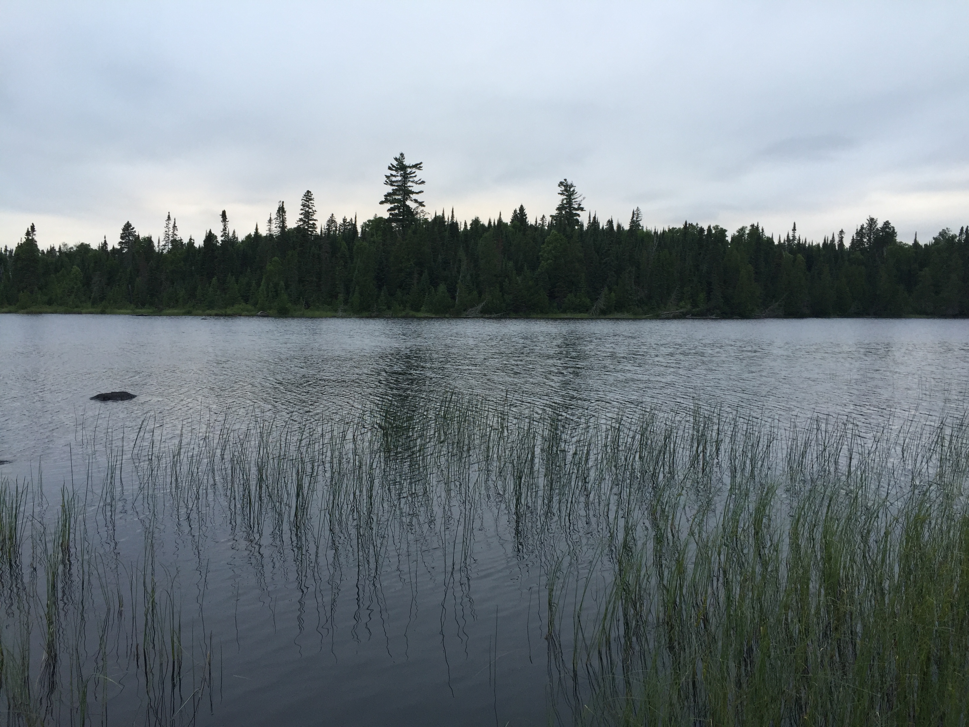
This view of Bog Lake greets you as you clear the trees at the end of the long portage.
Panoramic view of Bog Lake from the end of the portage. This lake is big enough to keep you exploring for a long weekend (May 12, 2023).
Mid-summer view - nearly same perspective as the image above(July 10, 2016).
Now that you've reached the shore of the lake, visit:BOG LAKE