Last Visited: April 10, 2021;
Previous Visit(s): August 22, 2015
Maps: Fisher F-6; McKenzie #3 or #21
Daily Quota: 1
Fire History:
Nearest Ranger Station: Tofte Ranger Station, Tofte, MN along Hwy. 61 on the North Shore
Portage Length from Parking Lot: N/A
Restroom at Entry Point: Yes
Entry Point 79 - Eagle Mountain Trail
Tofte Ranger District
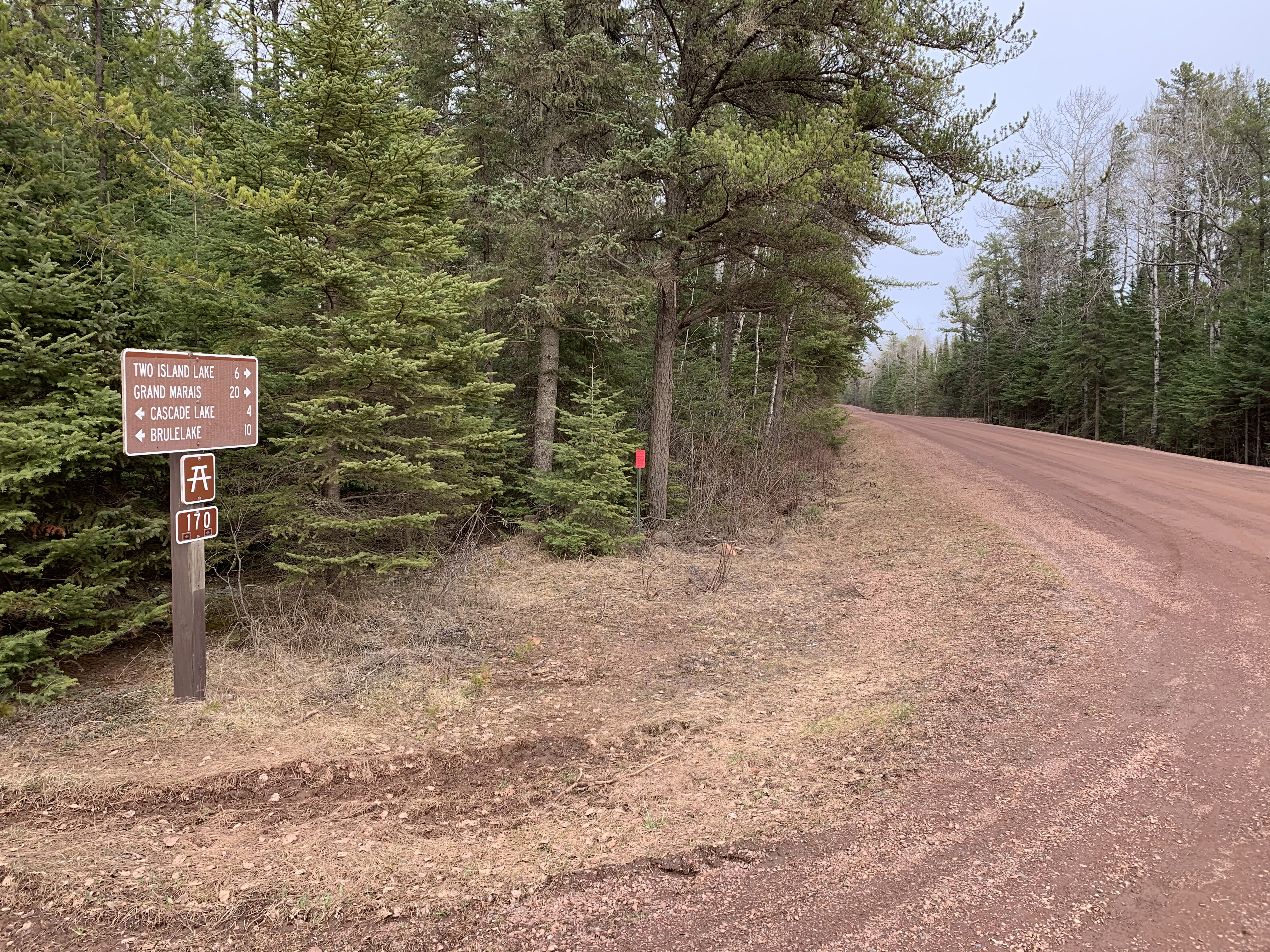
To get to the Eagle Mountain Trailhead, in Lutsen, turn off of Minnesota Highway 61 onto County 4 (Caribou Trail). Follow the Caribou Trail for 17 miles (first 7 miles are paved) until you reach The Grade (a.k.a. Forest Road 153). Take a right here and go a couple miles east until you see a sign for the Eagle Mountain Trail.
This is a very popular trail on weekends. The parking lot is often filled and sometimes you need to park on the road. The surface of the trail is similar to a heavily traveled BWCA portage; it is always easy to follow. There are a few areas that are marshy, but these areas have board plank crossings erected. A small bridge crosses Whale Creek. Several other places along the trail are very rocky and require a little care with footing. The only strenuous part of the trail is the last 0.8 miles beyond Whale Lake that lead to the summit. This will leave folks in average shape sucking some wind. Almost everyone is doing the trail on a day permit. If you plan on camping, you need to go through the regular BWCA permit process. There are two campsites along the trail, both in the Whale Lake area.
The Eagle Mountain Trail is connected to the Brule Lake Trail. You can find the intersection of the two trails, which is marked with a sign, at the northwest corner of Whale Lake, near the location where the Eagle Mountain Trail gets steep and heads for the summit of Eagle Mountain. You can do a through hike of both the Eagle Mountain Trail and the Brule Lake Trail (trailhead to trailhead). The entire hike between the trailheads is about 9.5 miles. There is one campsite along the Brule Lake Trail at Fishhook Lake.
You will know you are at the top of Eagle Mountain when you reach the large rock with the sign embedded into it. There are two vista viewing areas near the top where the forest doesn't block the view. The true summit is near the second wide vista where you can see several lakes off in the distance. There is a trail (often marked by cairns) that leads back into the woods. It is about a three to five minute walk. There are no views from the true summit of Eagle Mountain.
When you first reach Whale Lake, there is a very scenic vista of a large hill/mountain across the lake. This is NOT Eagle Mountain. Rather, this is a sister peak that is about 80 feet shorter than Eagle Mountain at about 2,220 feet. The saddle that separates Eagle Mountain from this unnamed sister peak is at around 2,020 feet.
Exploring the Entry Point
Click on the photos below to see the full resolution image - Use your browsers back button to close photo and return to this page.
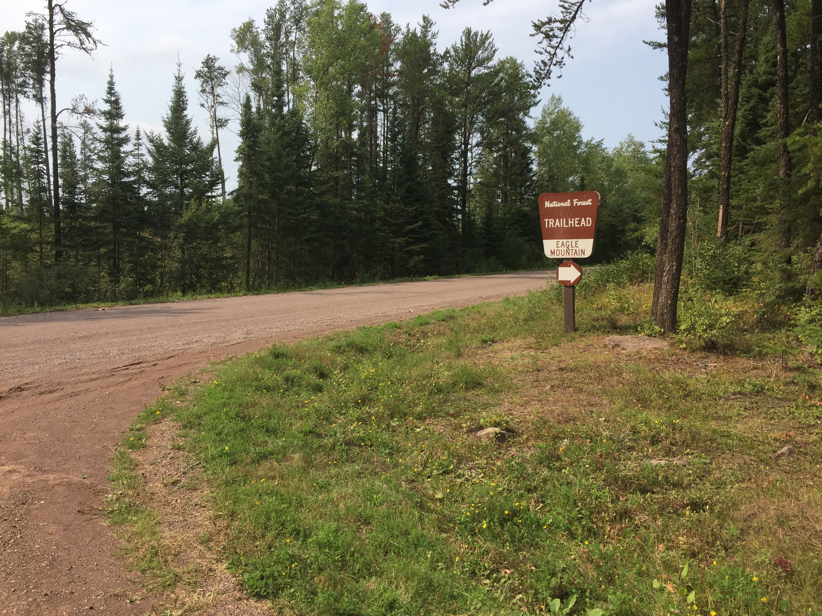
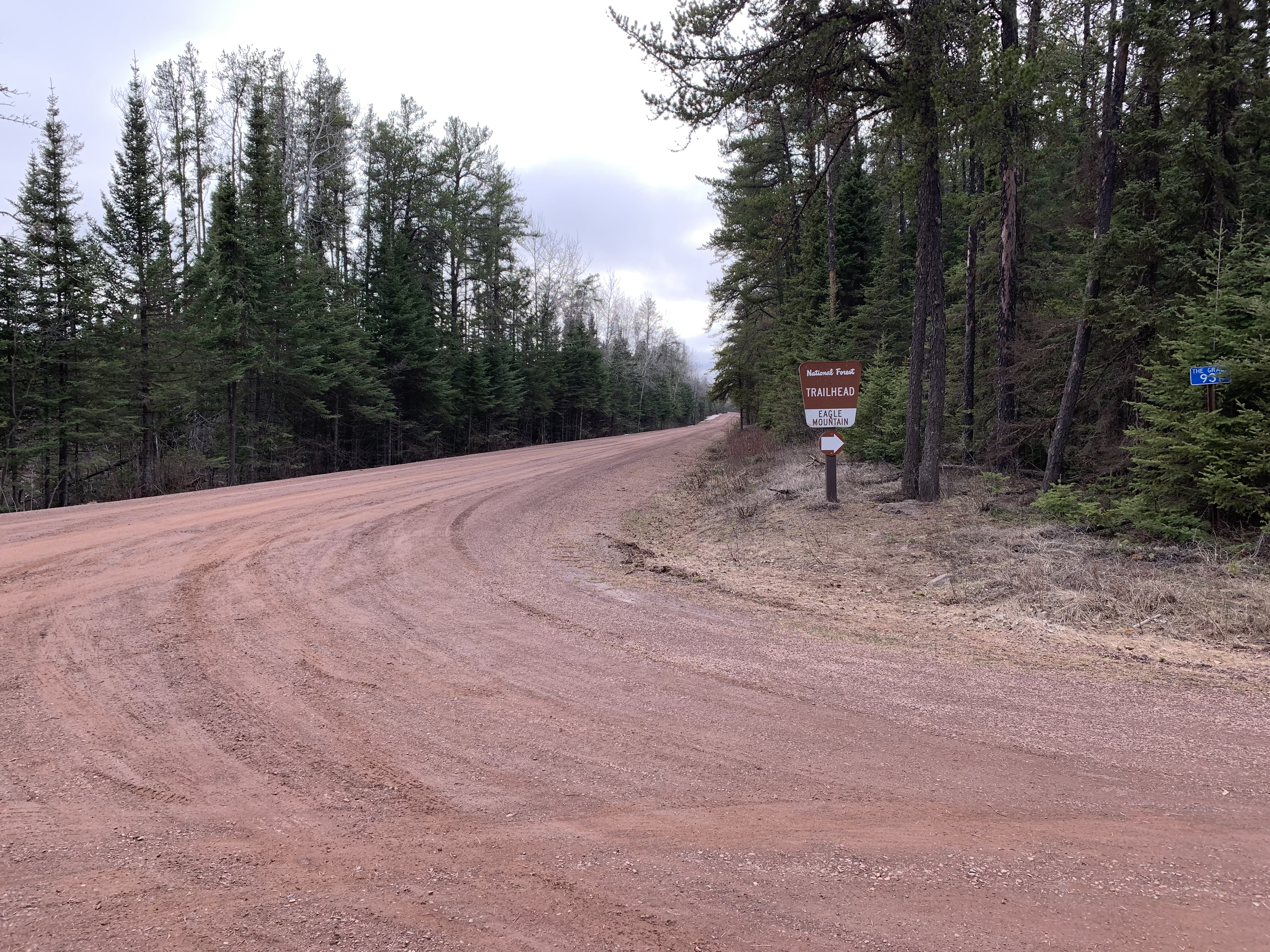
The ubiquitous BWCA entry point sign. This sign means you've arrived (August 2015).
Same general view as shown above (April 2021).
The entrance to the parking lot from the road called "The Grade" (which is Forest Highway 153) (August 2015).
Similar to view as shown above (April 2021).
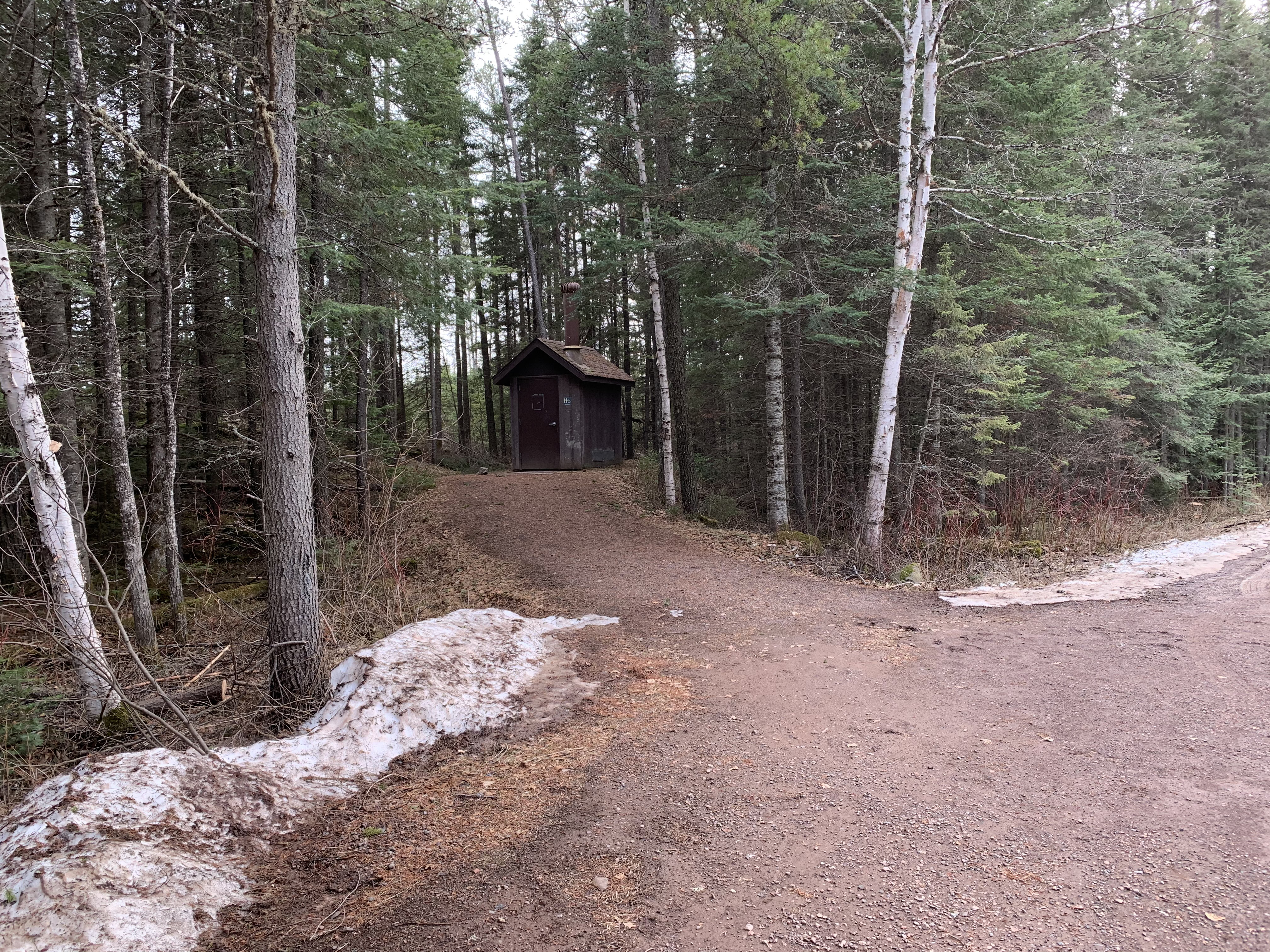
The "Biff" (April 2021).
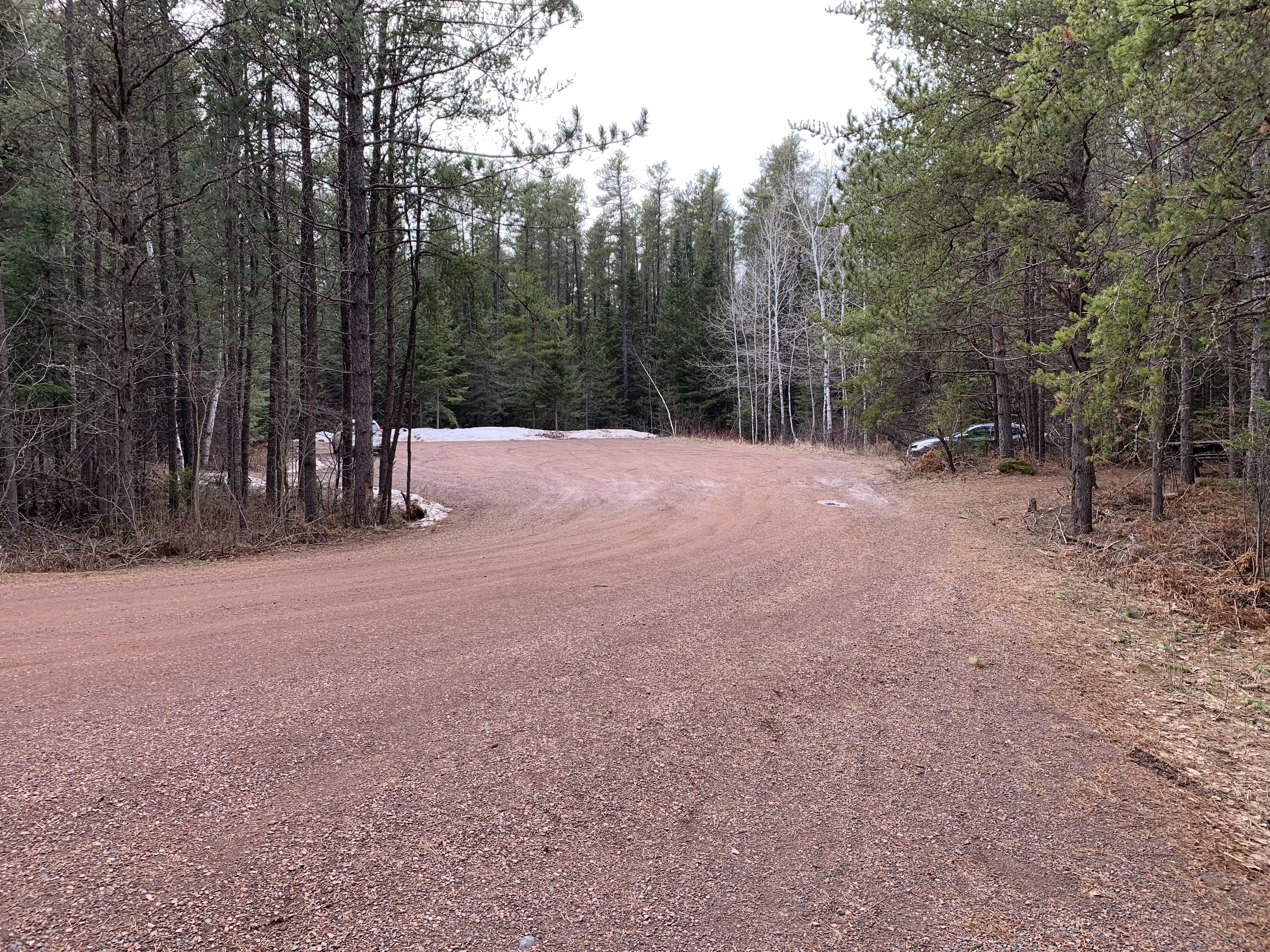
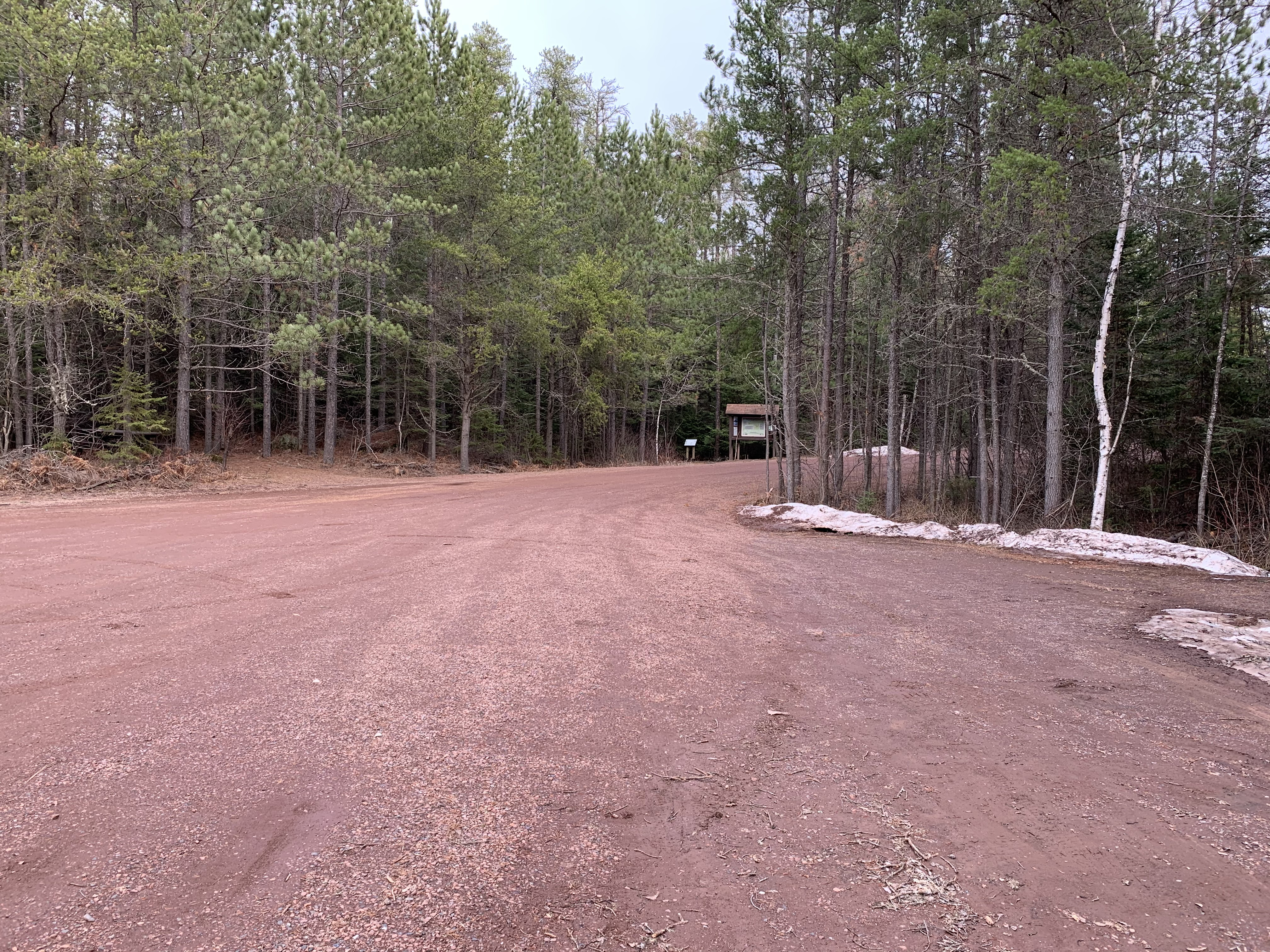
Parking lot. Don't expect it to be this empty on a nice day in the summertime (April 2021).
Another view of the parking lot looking toward the bulletin board. The Eagle Mountain Trail starts just to the left of it (April 2021).
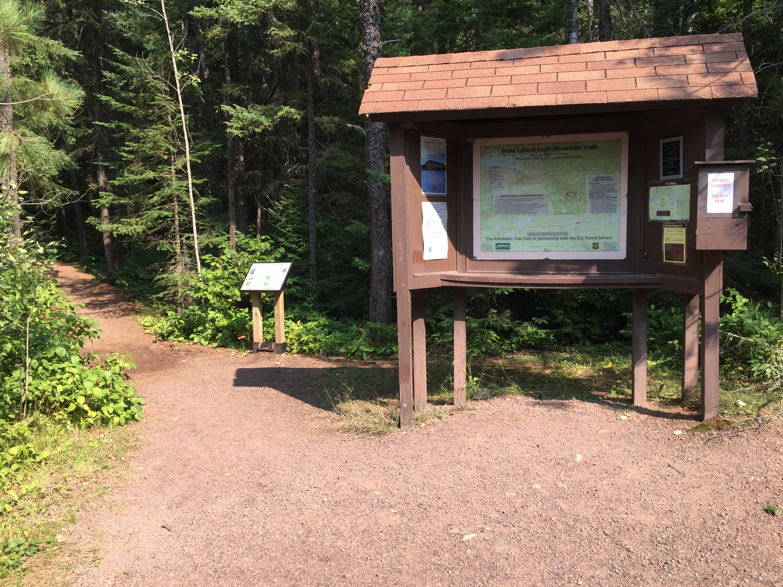
The standard bulletin board typical of most BWCA entry points. The start of the trail is just to the left of the sign, and leads back into the forest (August 2015).
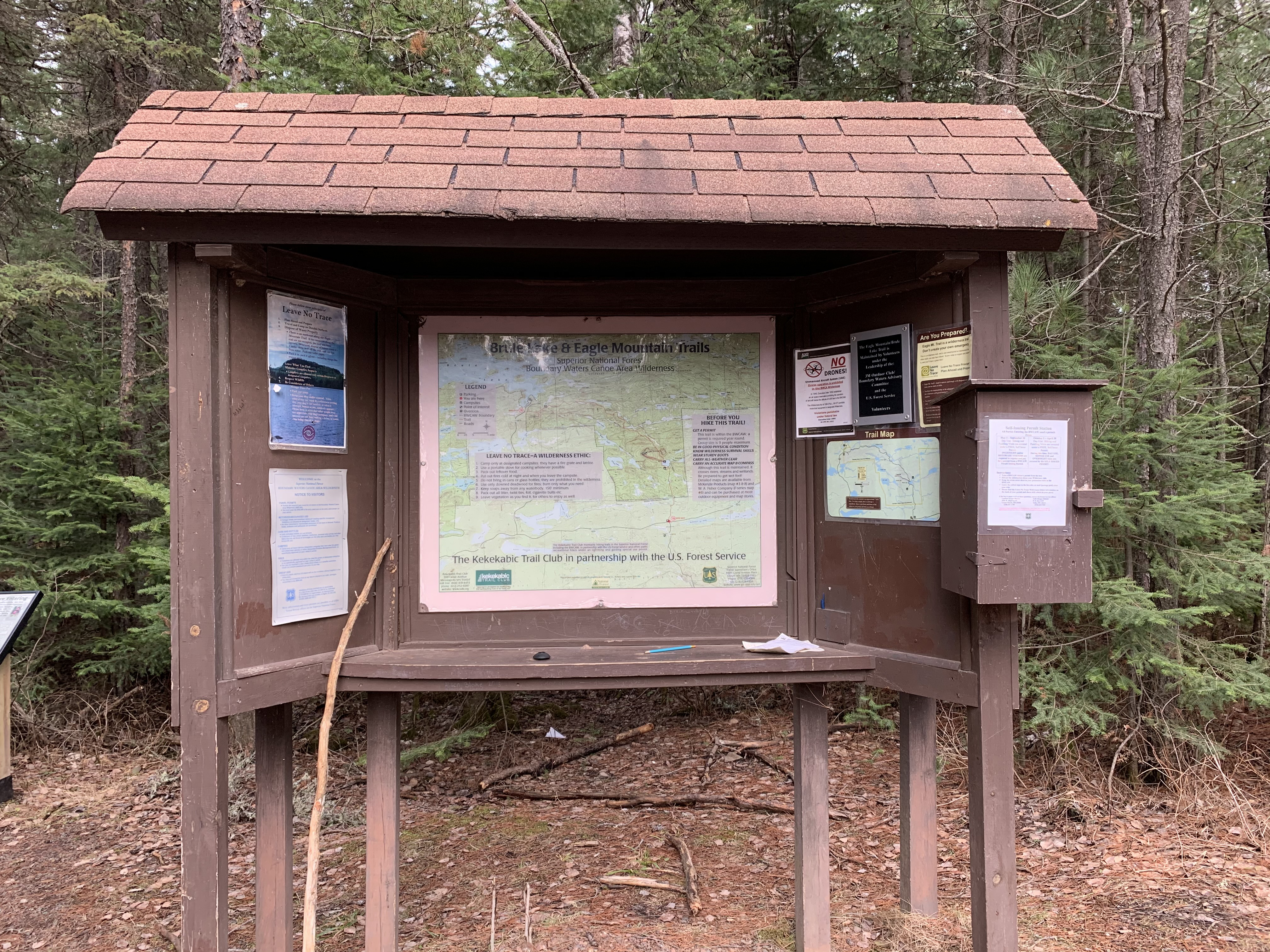
The bulletin board shown above, but about six years later (April 2021).
A brief jaunt around the parking lot and you then head past the bulletin board and start hiking toward Eagle Mountain.