Last Visited: May 26, 2024;
Previous Visit(s): May 12, 2023, July 25, 2021, July 10, 2016
Maps: Fisher F-4; McKenzie #19
Daily Quota: No limit
Fire History: 2011
Nearest Ranger Station: Tofte Ranger Station, Tofte, MN along Hwy. 61 on the North Shore
Portage Length from Parking Lot: N/A
Restroom at Entry Point: Yes.
BWCA Entry Point 86 - Powwow Trail
Tofte Ranger District
The Powwow Trail sustained severe damage from the 2011 Pagami Creek Fire. Through dedicated hard work by many volunteers, this trail is now back in hikeable condition (Spring 2024). The entire trail is now easily passable. Every year there is additional trail clearing. This is necessary because the lack of a forest canopy causes rapid growth of small trees and other vegetation on the trail that need to be cleared regularly. Also there are still the remains of burned trees still regularly falling onto the trail that must be cleared. Most of this work is performed by volunteer teams from the Boundary Waters Advisory Committee (BWAC).
This entry point is found just under a mile past the Island River entry point. You will know you are close when you cross the old wooden bridge over the Island River. The Powwow Trail entry point parking lot is also shared by BWCA Entry Point 35 - Isabella Lake.
Access to the entry point for the Powwow Trail is usually from the town of Isabella, Minnesota. Take Minnesota Highway 1 and head to the town of Isabella if coming from the North Shore (Lake Superior). Once in Isabella, just head out of town on Forest Road 912. There are many signs along these gravel forest roads that show the mileage and direction to the many BWCA entry points in the area. The signs are posted at almost every intersection. You will want to follow the signs leading to Isabella Lake, as the Powwow Trail is not mentioned on the signs.
Before you reach the Island River bridge crossing, you will enter the 2011 Pagami Fire burn area. It stretches for many miles. The Powwow Trail entry point wasn't spared by the fire either.
The Trail is made up of a 2.7 mile trail known as "The Stick" or "The Stem" that begins at the trailhead parking lot near Lake Isabella and stretches north until intersecting "The Loop" part of the trail at an intersection known as "The Wye" or "Y". "The Loop" can then be traveled in either direction making a full semi-circular route, eventually bringing hikers back to "The Wye". This loop section is 25.4 miles in length. A complete hike of the Powwow Trail from trailhead start to trailhead finish ends up being 29.9 miles.
Exploring the Entry Point
Click on the photos below to see the full resolution image - Use your browsers back button to close photo and return to this page.
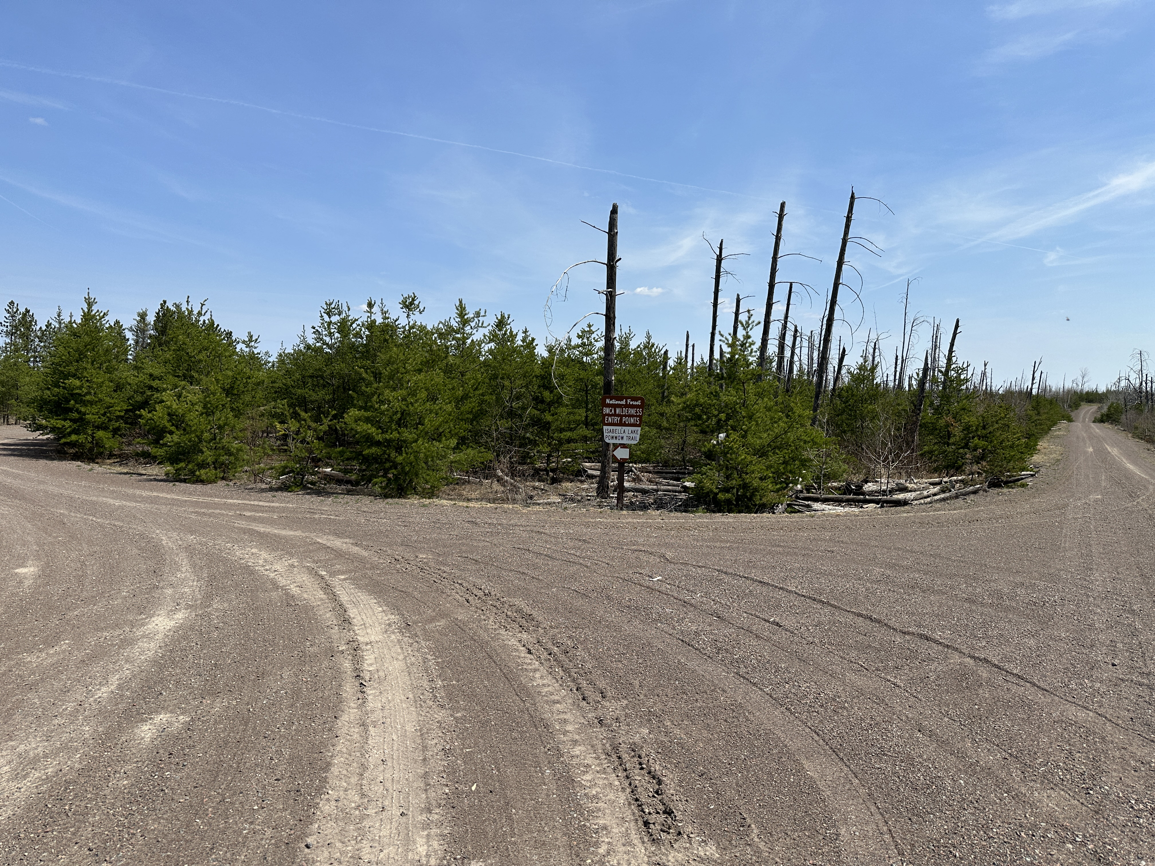
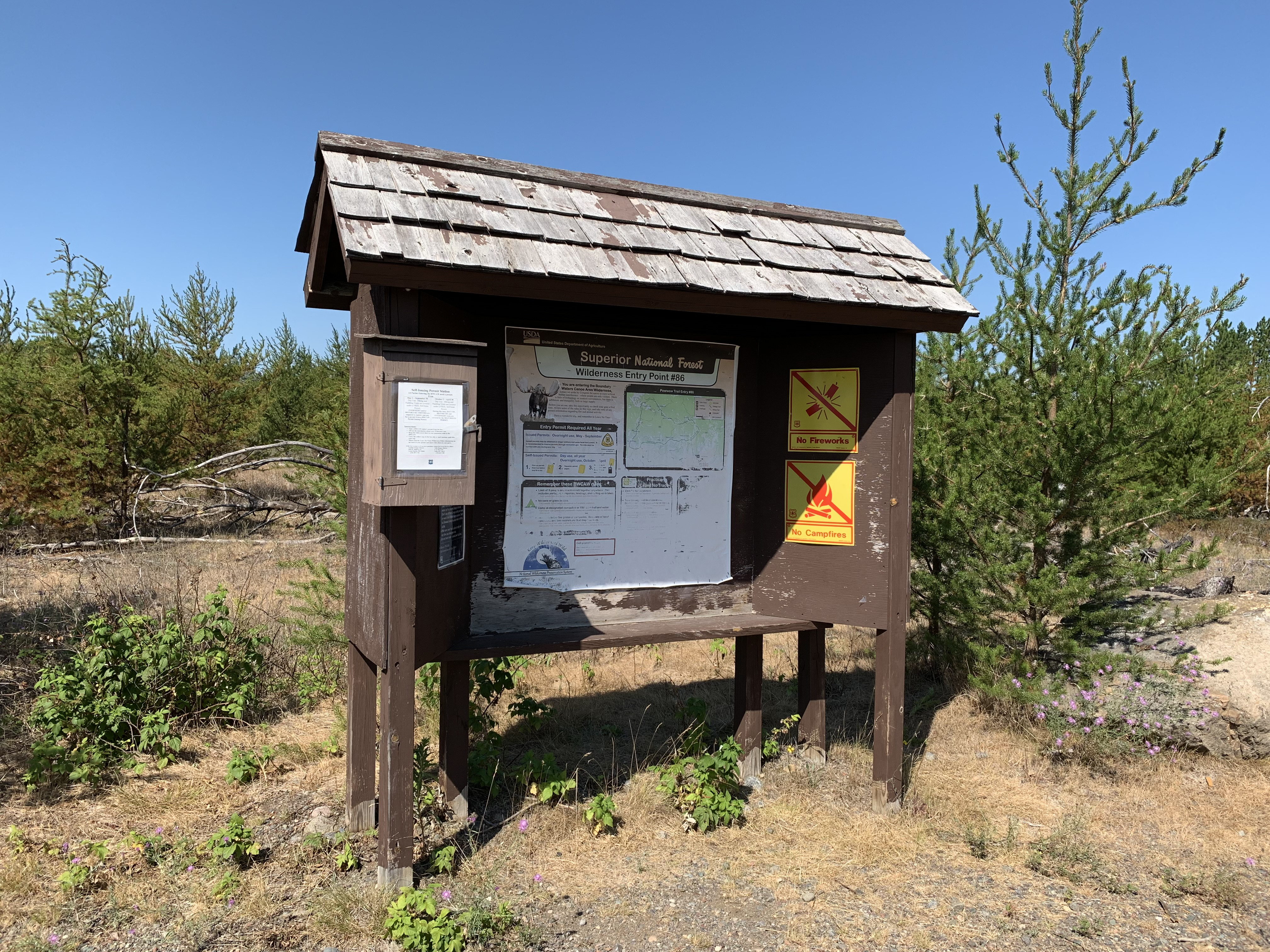
You're almost there (May 12, 2023).
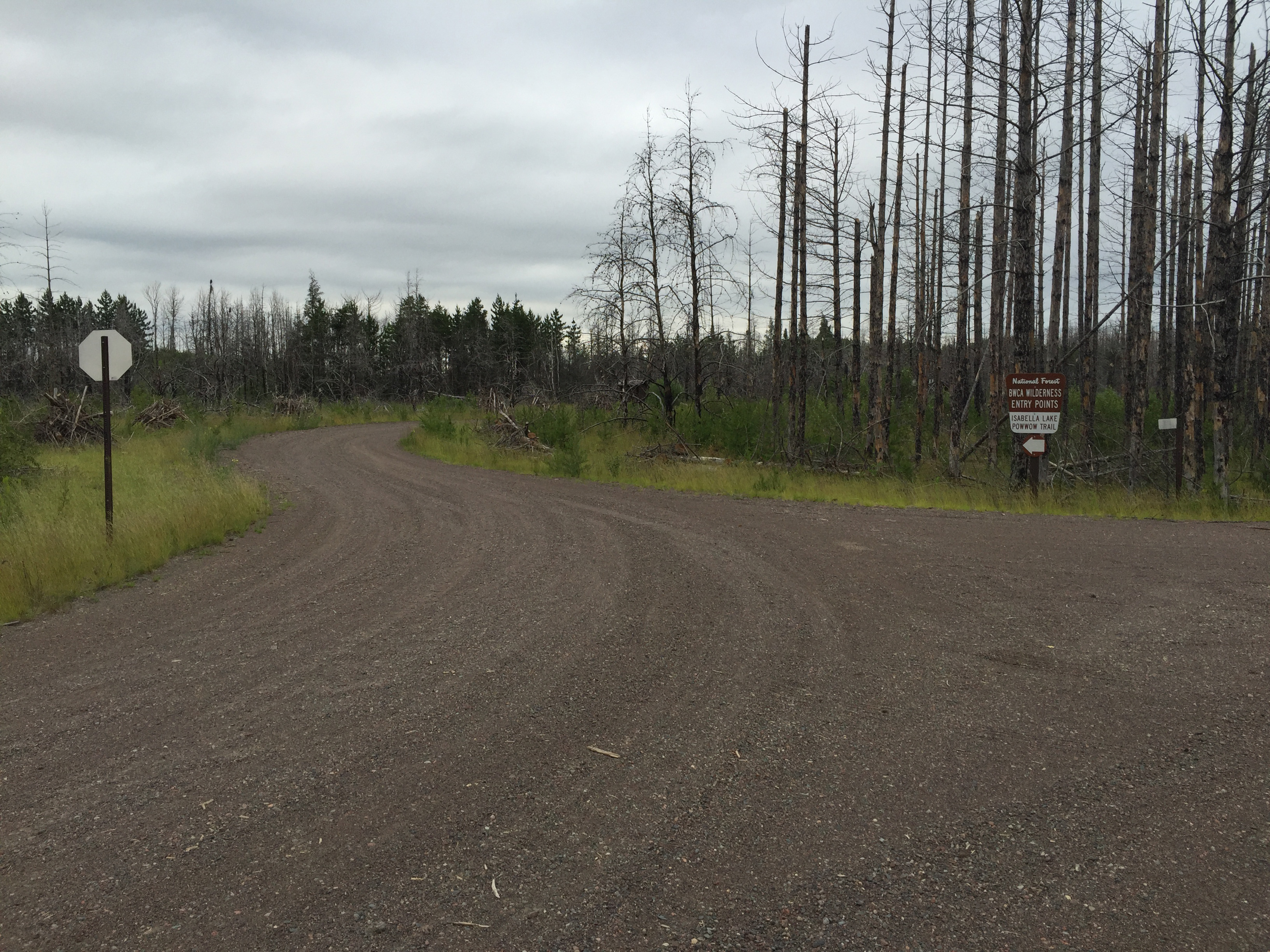
Similar perspective to the image shown above (July 2021).
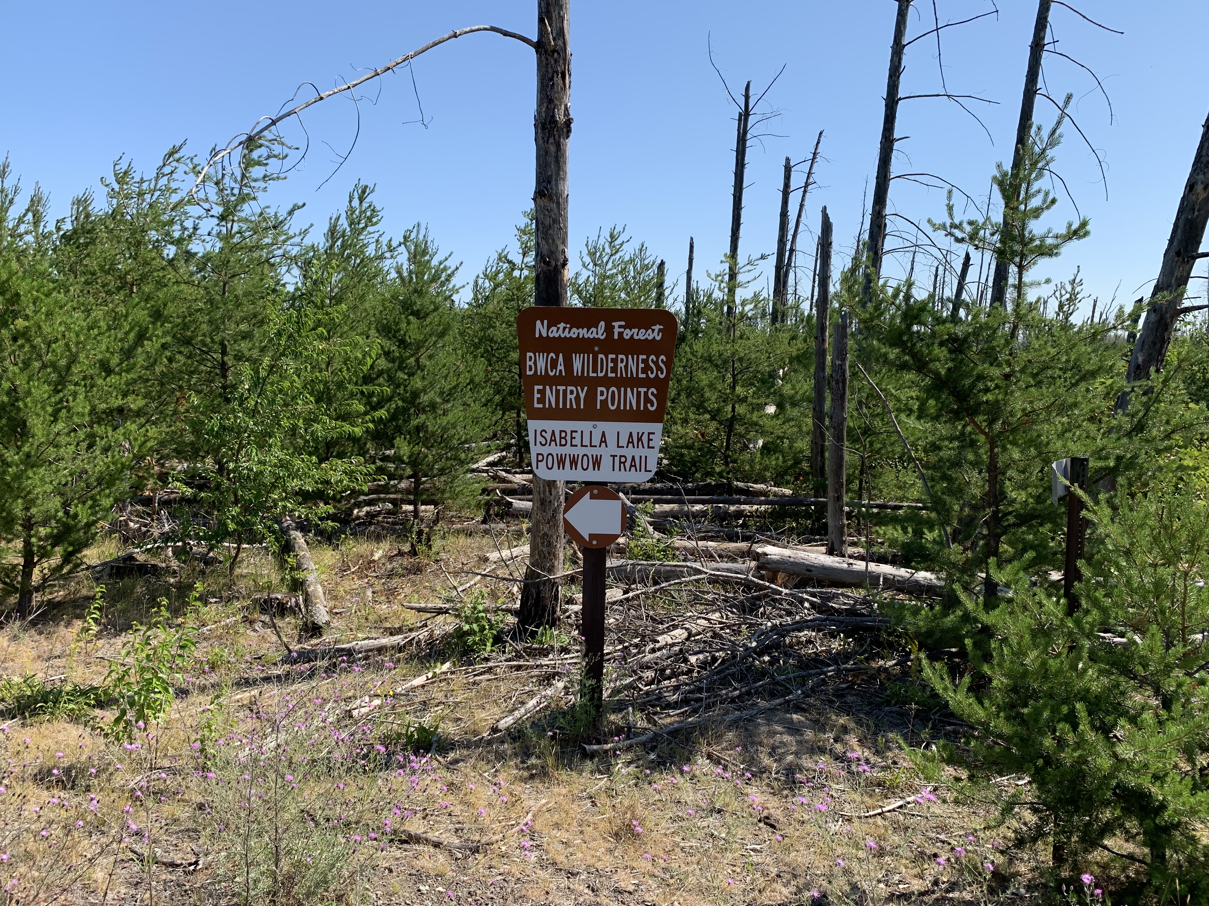
Nearly the same image as the one above (July 2016).
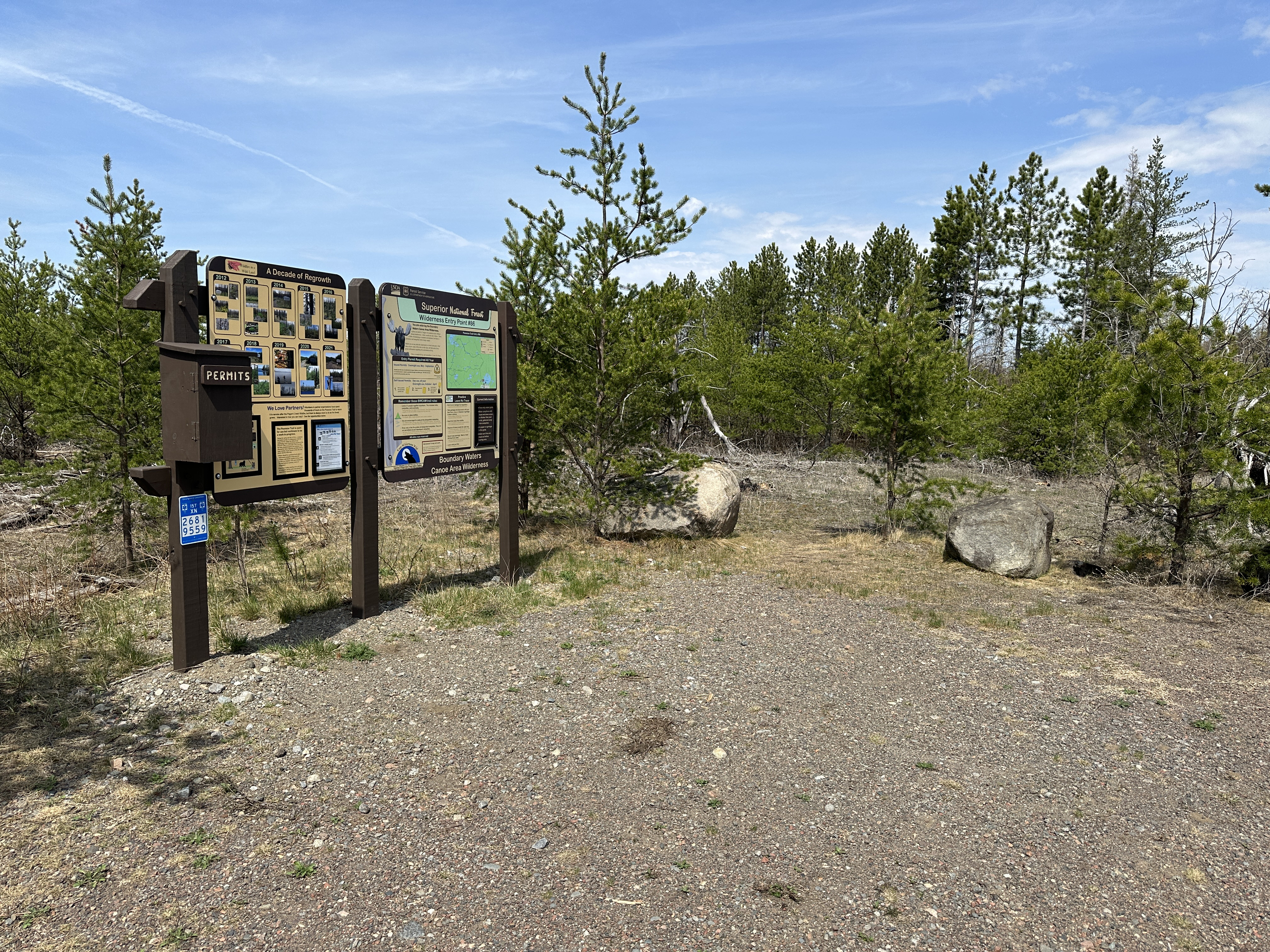
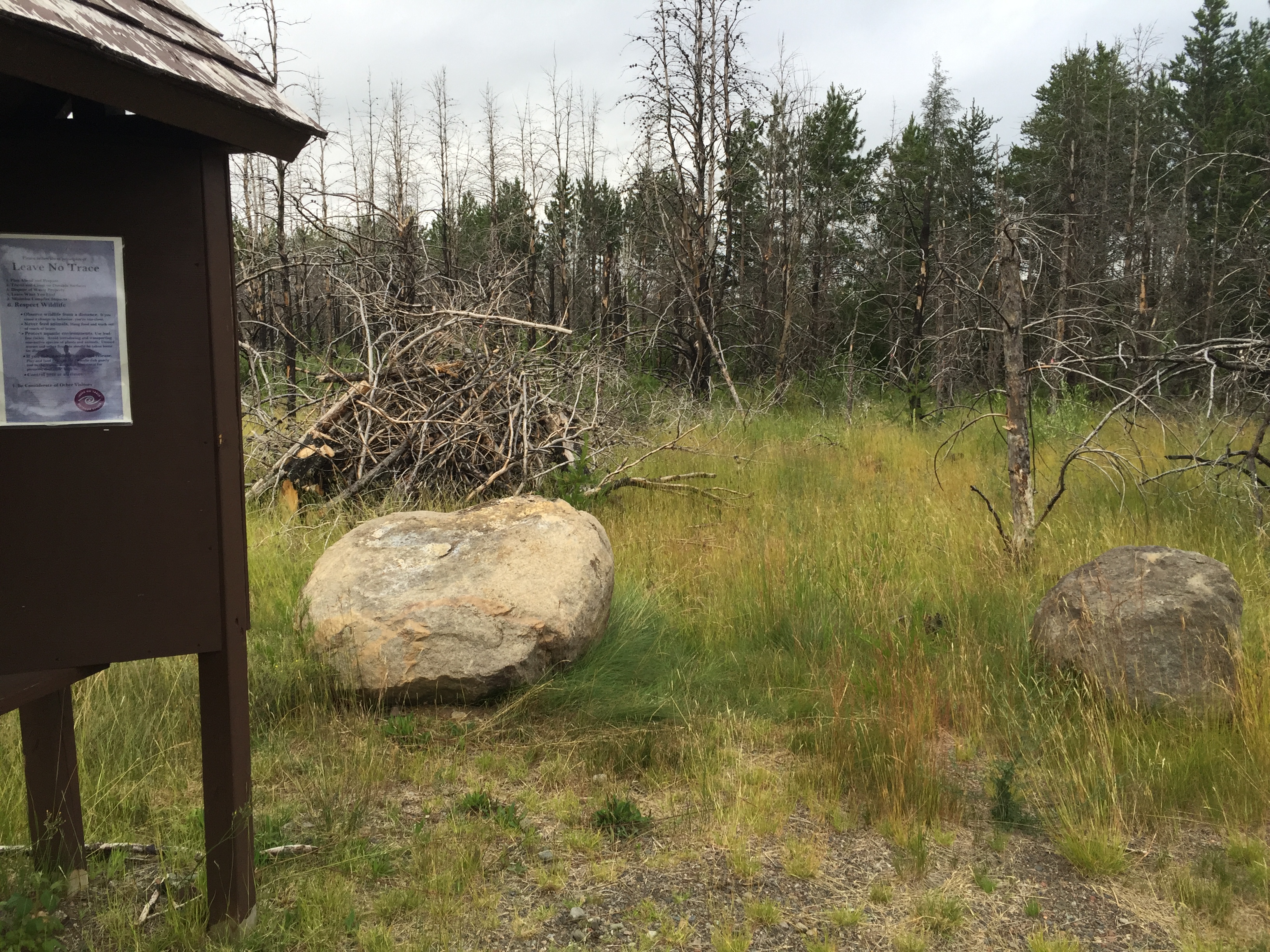
The bulletin boards at this entry point were updated sometime after July 2021 (May 12, 2023).
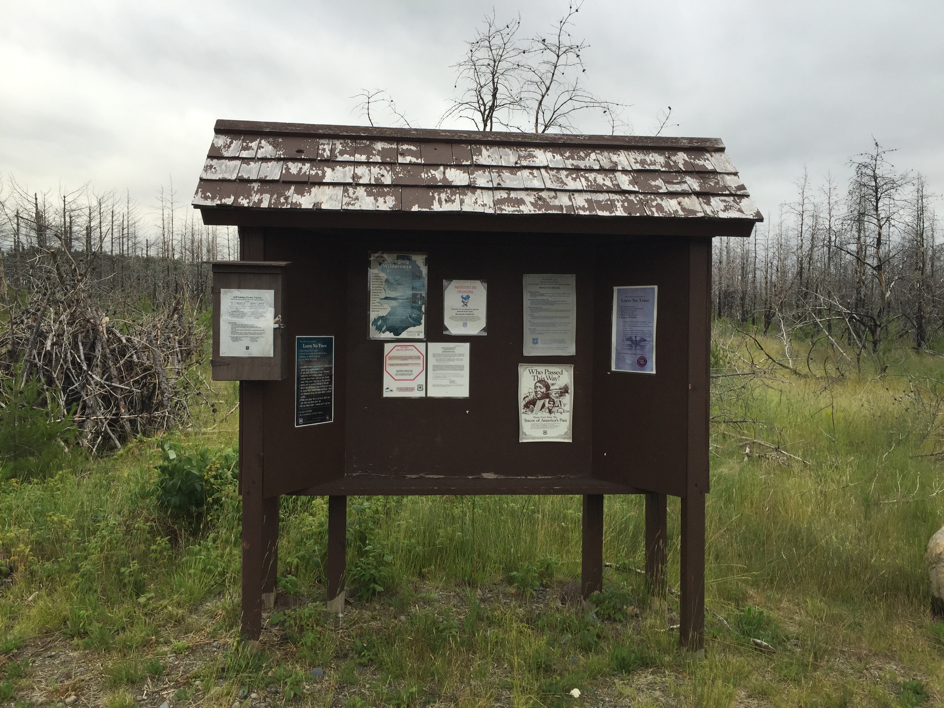
The is the slightly toasted bulletin board for the Powwow Trail hikers (July 2021).
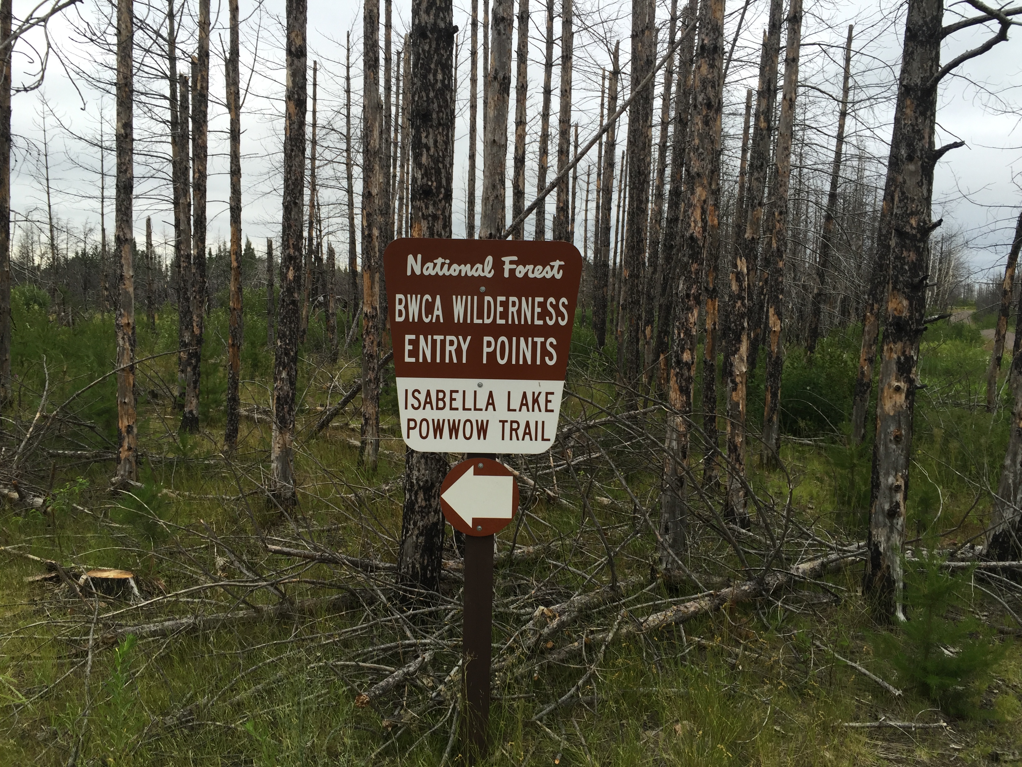
Similar photo to that shown above (July 2016).
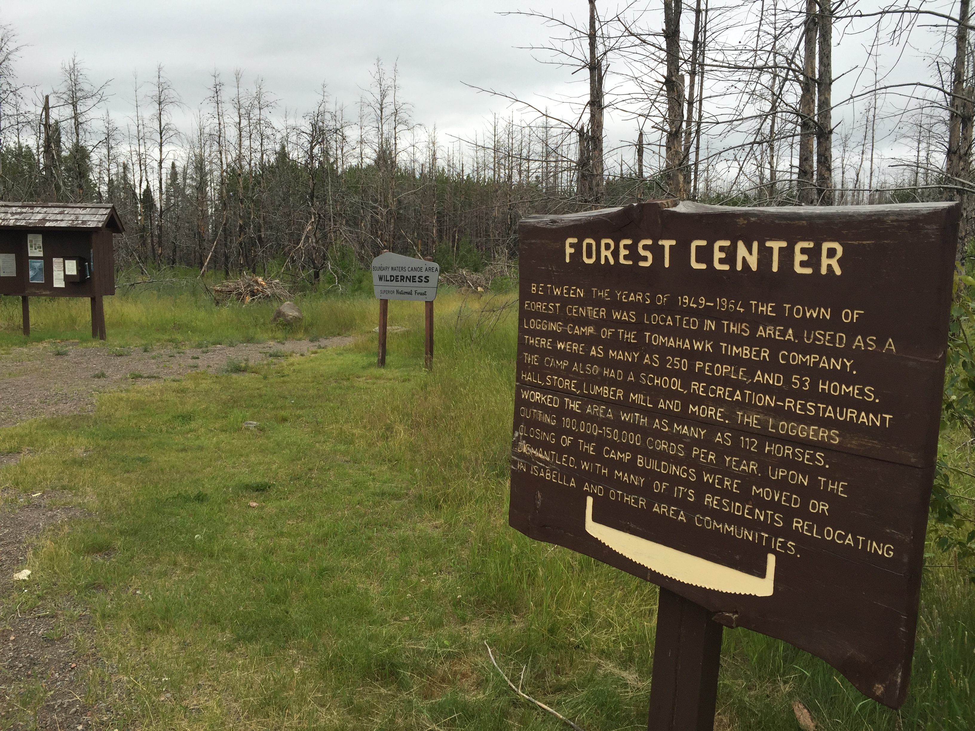
The sign explains the historical significance of this area. The town has been gone for over half a century. The Tomahawk Timber Company was based out of Wisconsin. To the left of the sign is the Isabella Lake entry point and the start of the 71 rod portage that leads down to the lake shore.
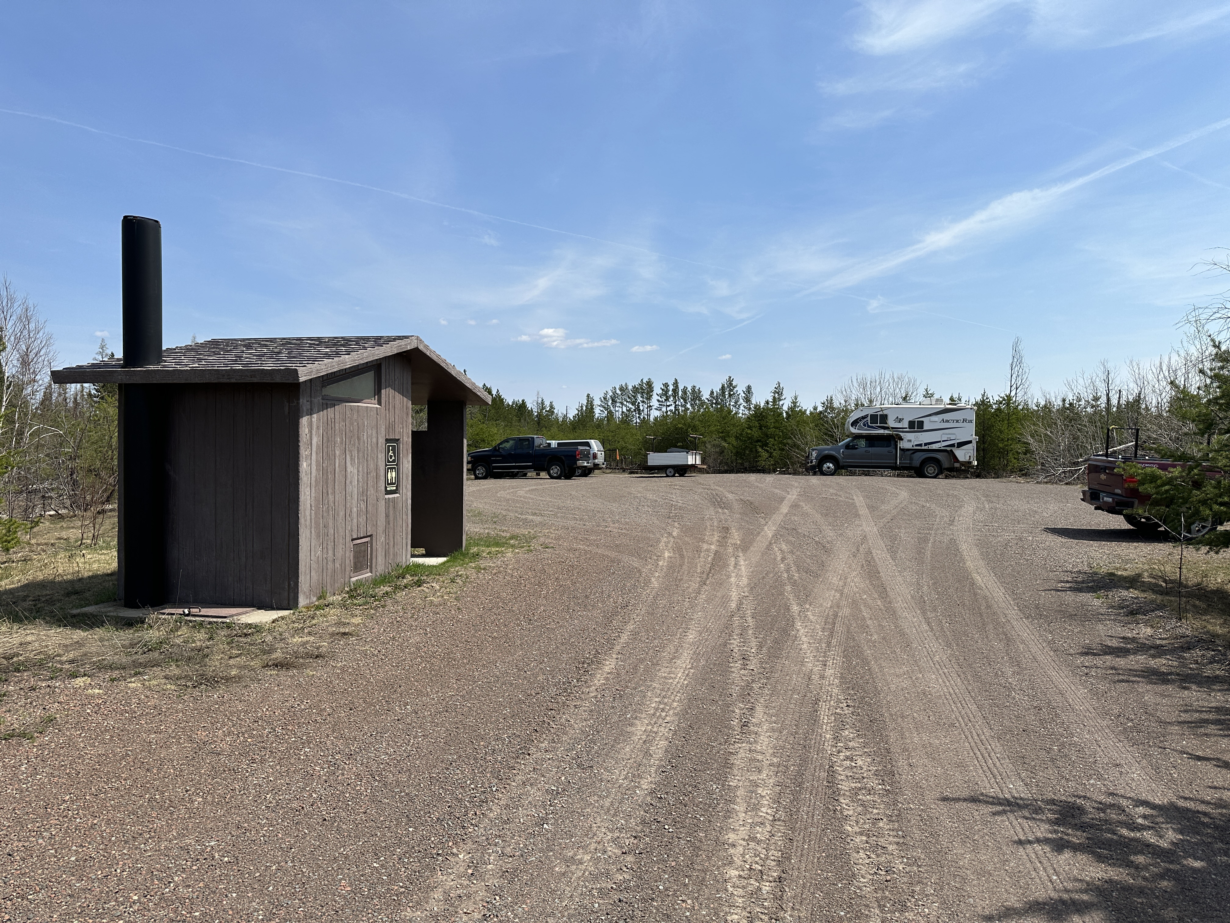
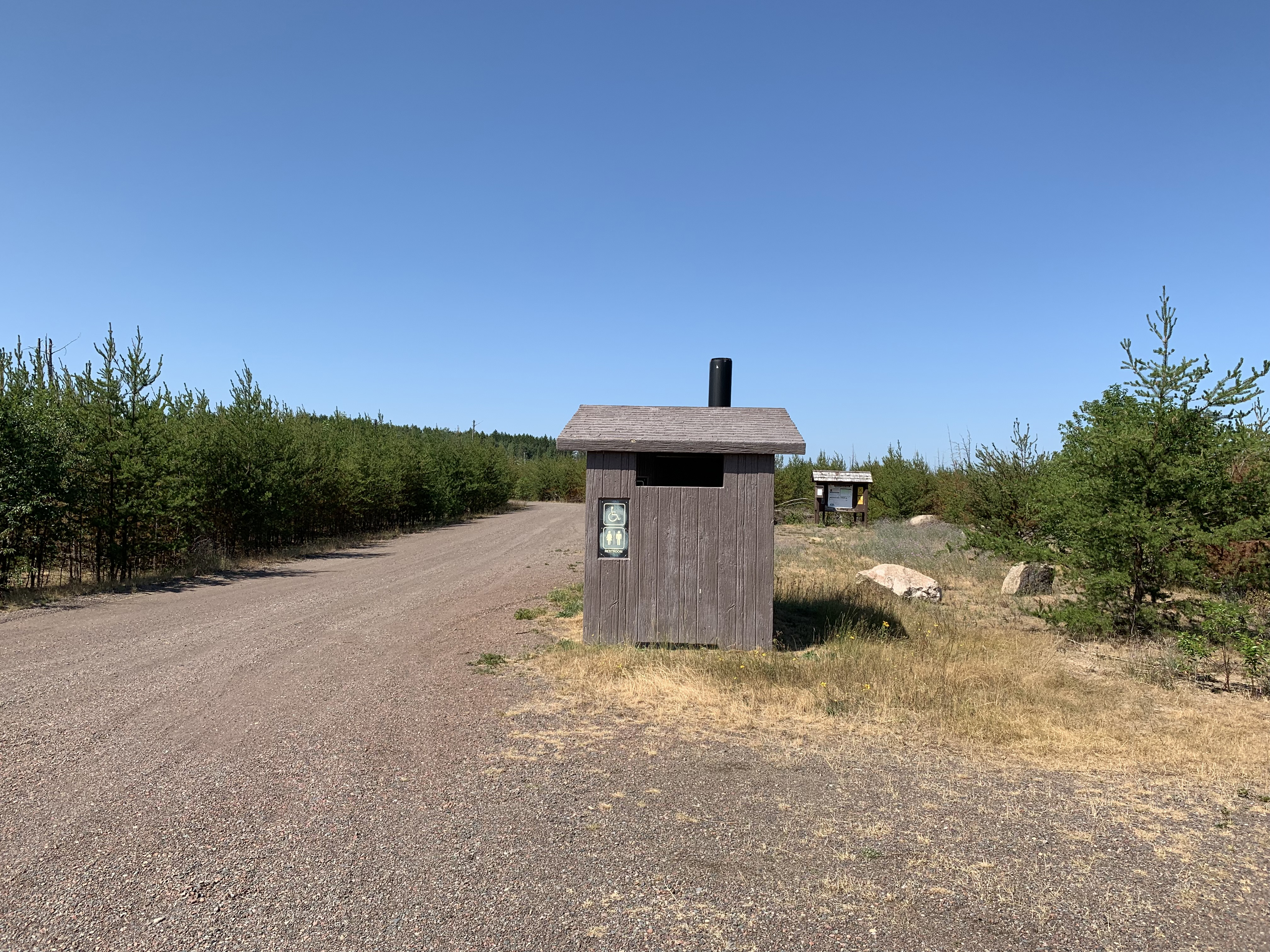
View towards the Isabella Lake Entry Point end of the parking lot. The restroom building basically divides the two parking lots (May 12, 2023).
A wider view of the parking lot. This is obviously the privy. The bulletin board for the Powwow Trail is in the distance. The main part of the parking lot is right behind you. The Powwow Trail starts just to the right of that bulletin board (July 2021).
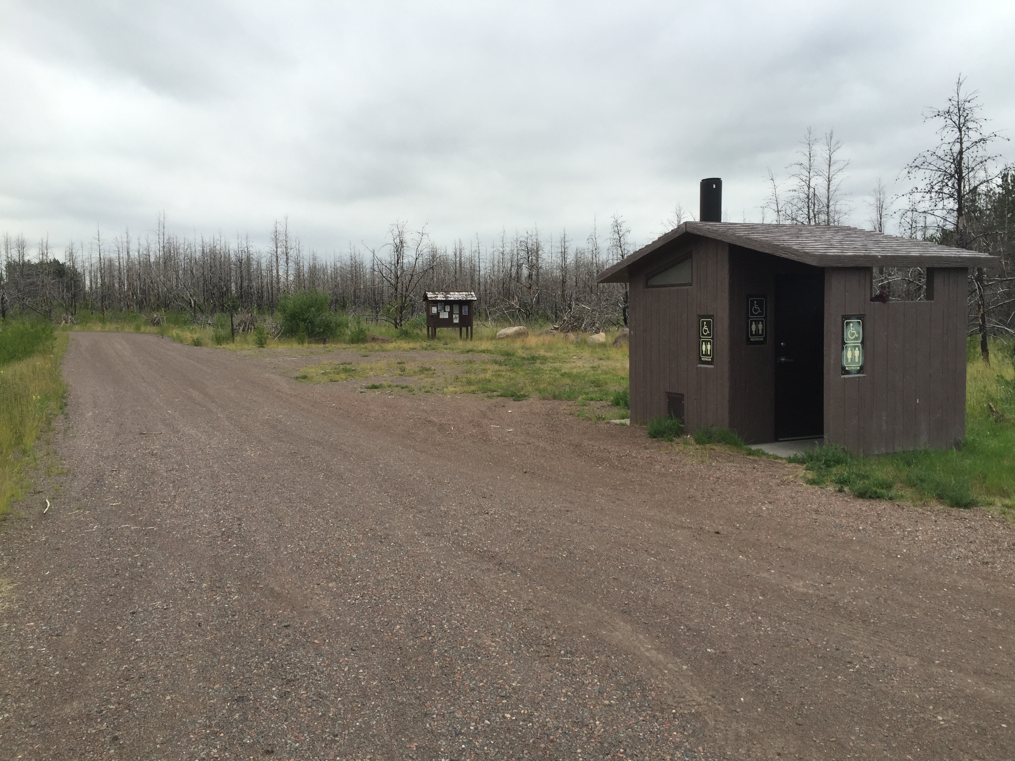
An earlier view of the restroom building (July 2016).
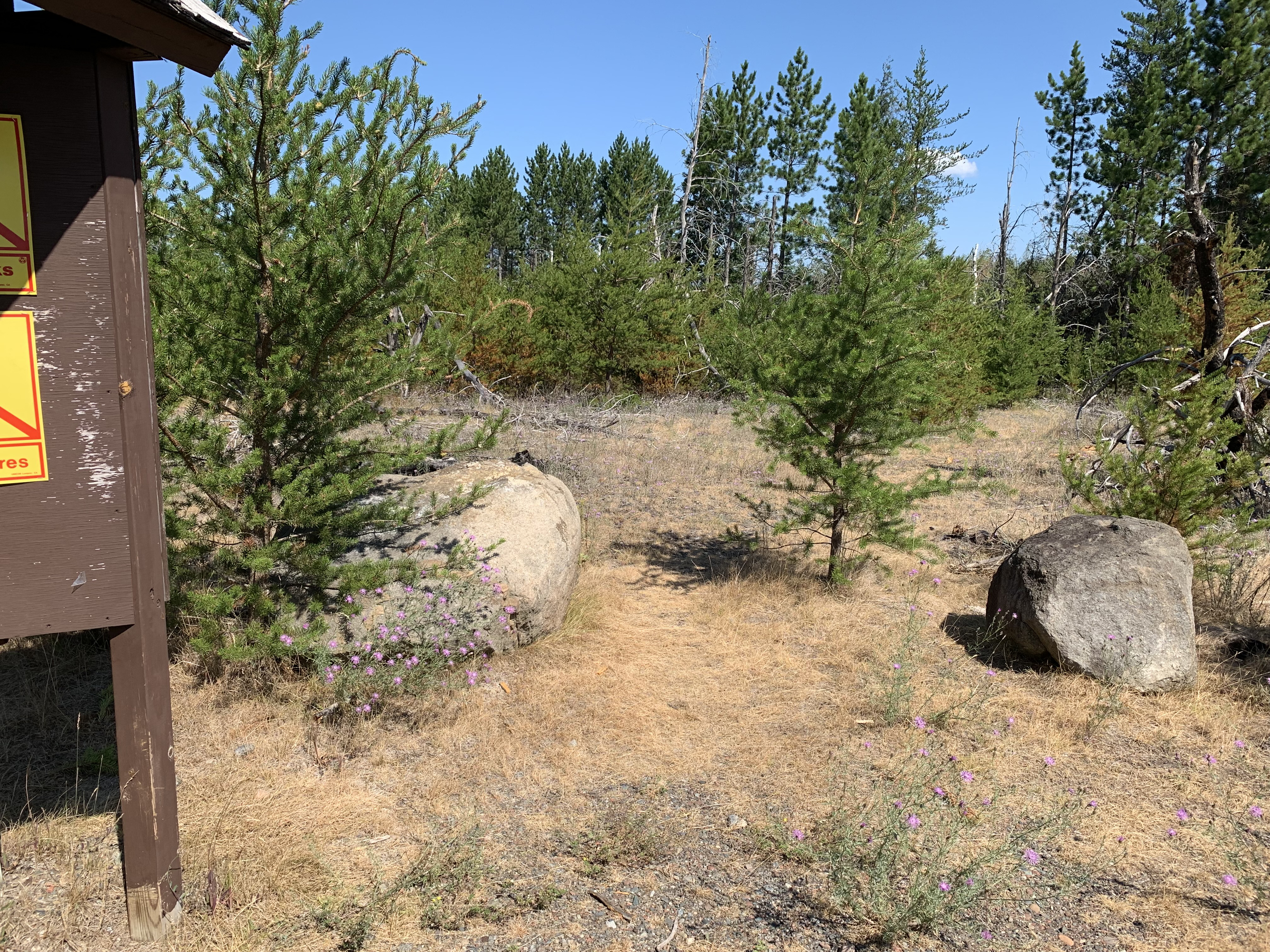
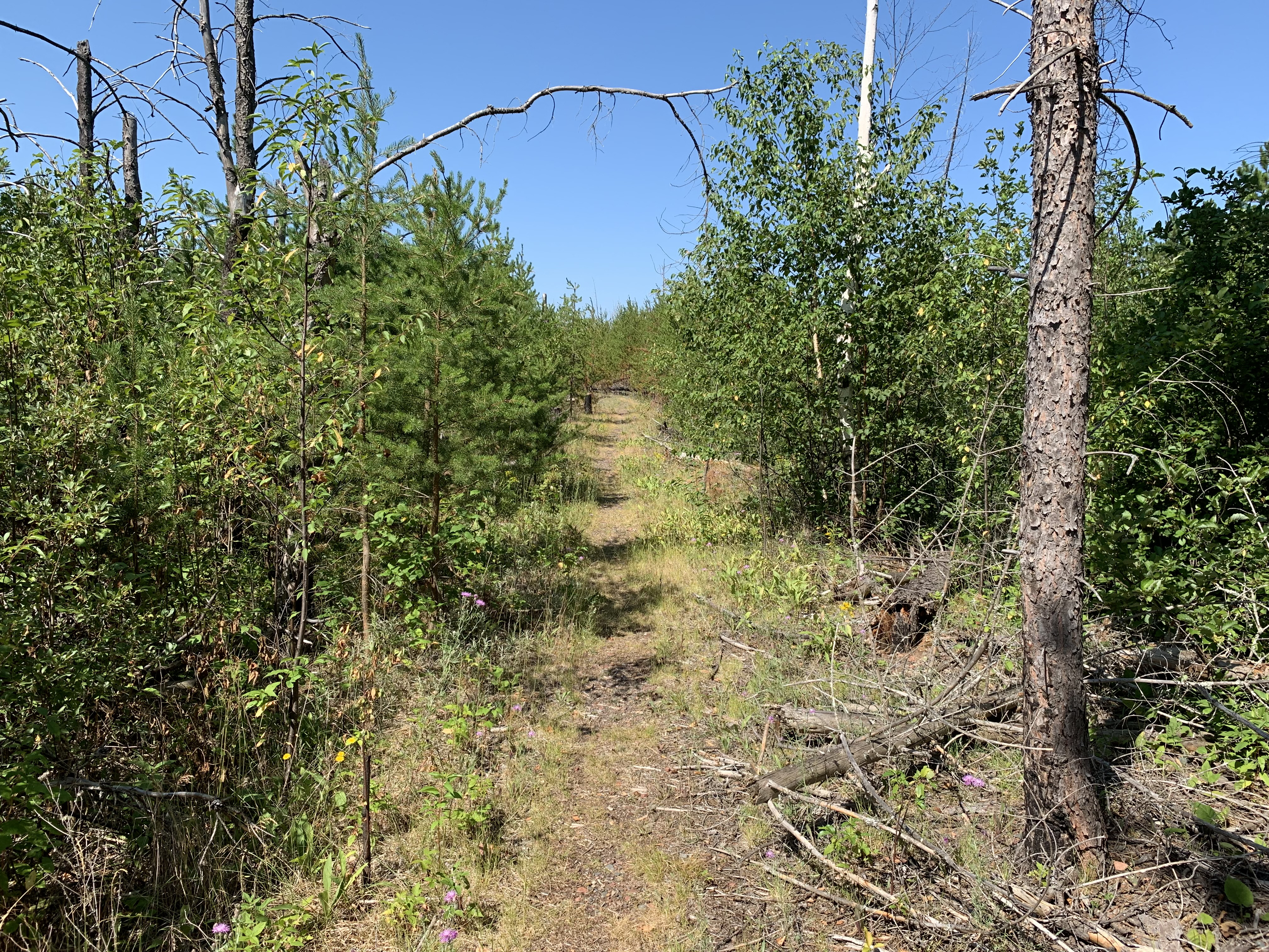
Start of the Powwow Trail. Notice how fast those jack pine trees grow (see photos below). As of early 2020, the Powwow Trail is open (May 12, 2023).
Start of the Powwow Trail. Roughly the same view as the photo above, but back in time a couple of years (July 2021).
Same scene as above, but a few years before (July 2016).
A look at the trail, just a short ways in from the parking lot. The trail follows the path of an old logging road at first for several miles (July 2021).
POWWOW TRAIL - EASTERN LOOP
Powwow Trail construction commenced in 1979, shortly after the BWCA Wilderness Act was passed. The trail was mostly wiped out by the 2011 Pagami Creek Fire. Since the fire, the western loop of the Powwow Trail has been recovered as of 2020. However, there used to be an eastern loop of this trail which was roughly the same mileage distance as the western loop. As of 2024, no work has been conducted on the eastern loop to recover it. If you follow the Tomahawk Road past the entry point parking lots for Isabella Lake and the Powwow Trail, the road eventually dead ends with the road becoming impassable. However a trail, now overgrown, continues from the end of the road. This is the start of the old eastern loop of the Powwow. Below are a few images.
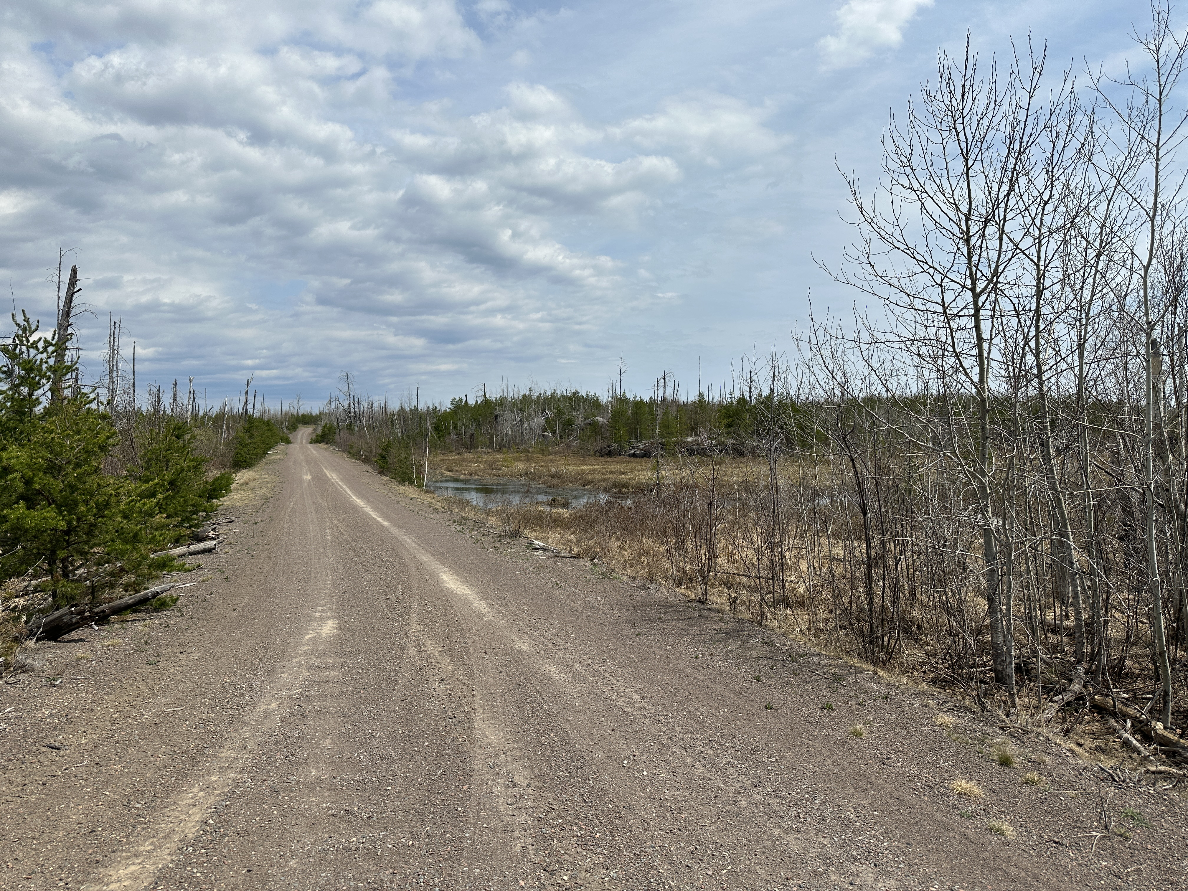
View back down the Tomahawk Road from near the location where the road ends. This is about a quarter-mile east of the current Powwow Trailhead parking lot.
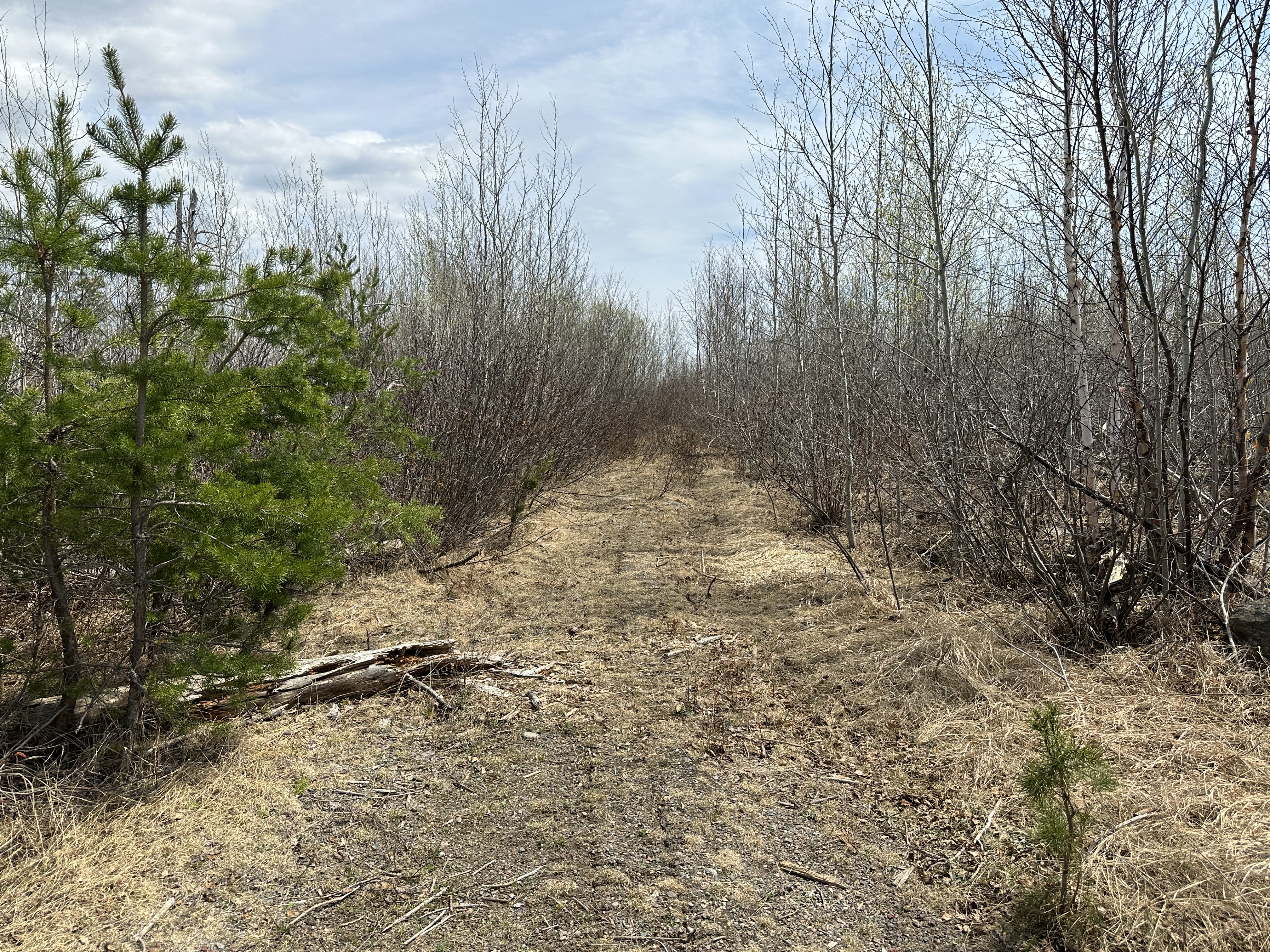
Where the Tomahawk Road ends, this trail (which follows the old logging road) continues eastward...
Video of the first 0.1 miles of the trail. From the end of the Tomahawk Road, it is about 5 miles to the location where the eastern loop of the Powwow Trail crossed the Perent River, near BWCA Campsite 1995.