Flying Lake is a crossroads with three portages leading in and out of the lake. The portage on most maps to Fay Lake does not go through, take the Chub River portage to get to that lake after paddling down Flying Creek. The portage to the Chub River is also the route to take if you want to access Bingshick Lake too.
The entire eastern shoreline of Flying Lake was burned by the 2007 Ham Lake Fire. Also, the very north end of Flying Lake was burned by the 2006 Cavity Lake Fire. The Chub River and the very northern tip of Flying Lake form a small part of the boundary line where the Cavity Lake Fire and the Ham Lake Fire intersected.
Flying Lake is the location of an interesting stairway portage that is used to climb up a steep slope. The stairway portage is part of the Flying Lake/Gotter Lake portage. Flying Lake is 20 feet below the level of Gotter Lake. Once up the stairs, this portage is pretty level. Some sharp, bare rock cliffs line the shoreline just north of the Green Lake portage. Note that if the water level is low on Gotter Lake, you will have to extend the portage another 40 rods or so. The extended low water portages runs toward the east along the north shoreline of Gotter Lake.
The lake it quite shallow and probably doesn't support much fishing potential. There are no campsites here either and that is probably just as well.
Flying Lake drains to the north into the Chub River through Flying Creek. The shoreline along the north end of Flying Lake grades into a wetland that surrounds Flying Creek. Follow Flying Creek north until you find the portage to the Chub River marked by a smooth table rock landing. The portage to the Chub River is short but rugged. Nearly all of the portages along the Chub River are difficult in one way or another. There are relatively few visitors to the area of the BWCA north of Flying Lake.
References:
Beymer, Robert, Boundary Waters Canoe Area – Volume 2 – Eastern Region (Berkeley: Wilderness Press, 2006), 147, 154, 158.
Pauly, Daniel, Exploring the Boundary Waters (Minneapolis: University of Minnesota Press, 2005), 323, 331.
Click on the photos below to see the full resolution image - Use your browsers back button to close photo and return to this page.
PADDLING FLYING LAKE FROM THE GOTTER LAKE PORTAGE TO THE GREEN LAKE PORTAGE
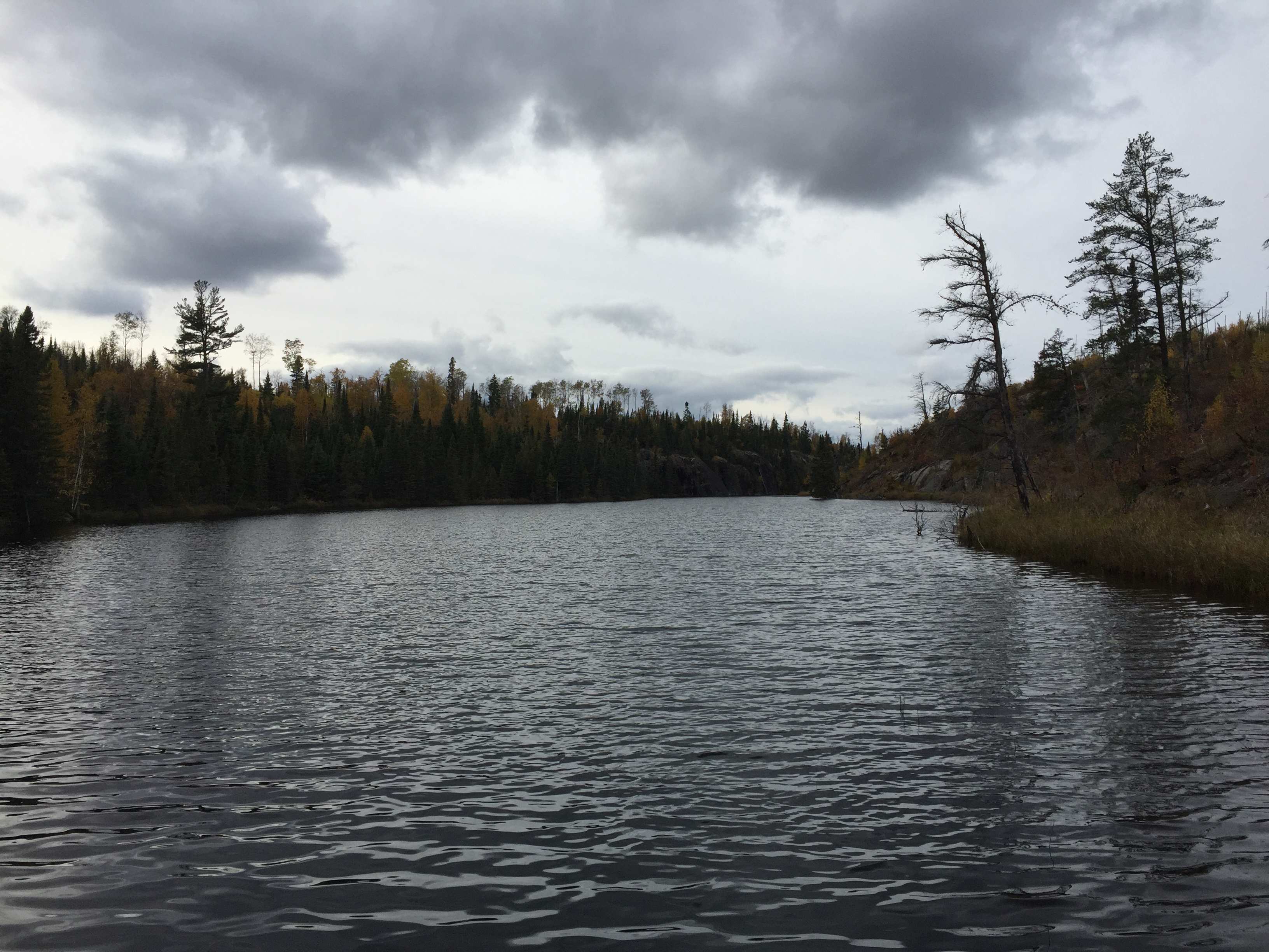
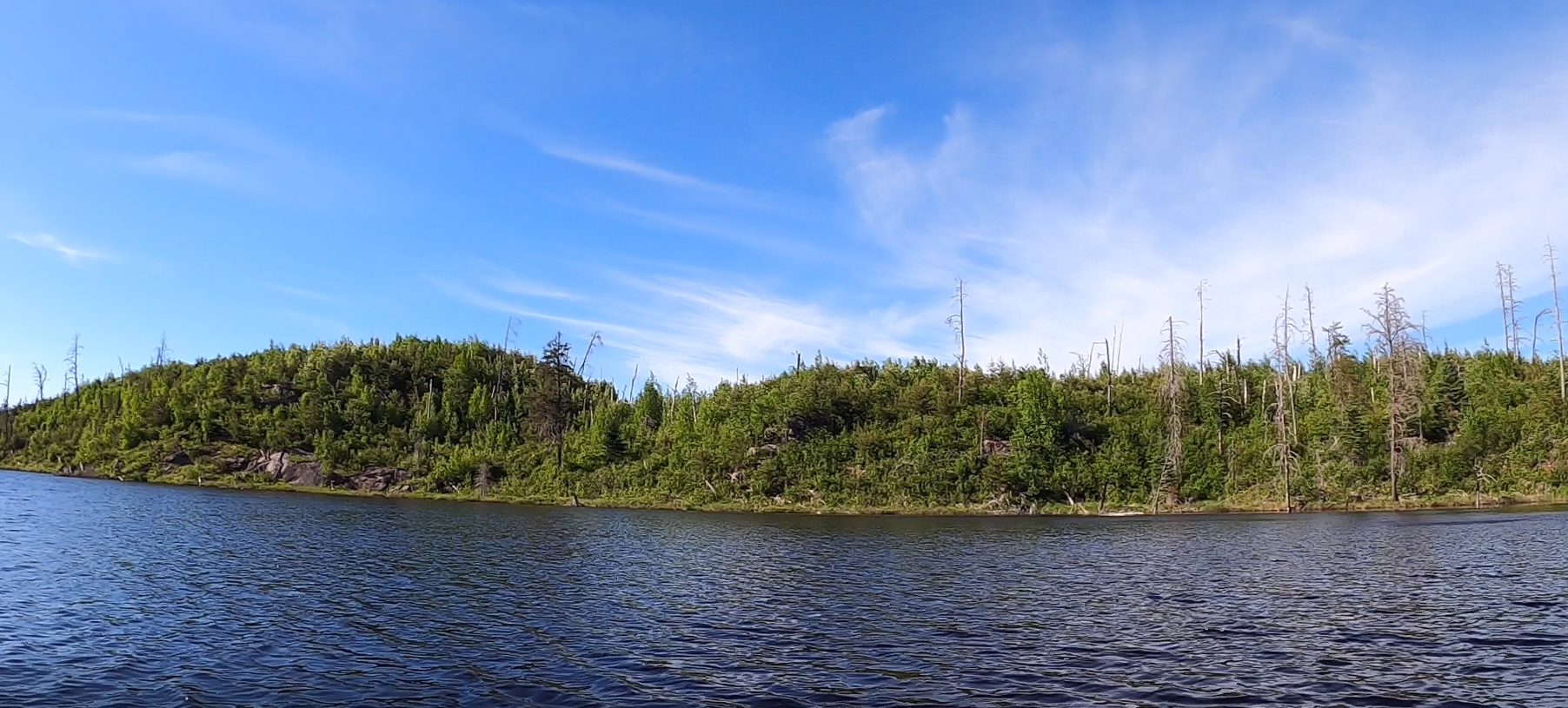
From the Gotter Lake portage, you can see most of the southern end of the lake. The east shore of the lake was burned. The portage to Green Lake is just to the left of that line of cliffs near the center of your view.
A short paddle starting from the stairway portage that climbs up to Gotter Lake. From here, paddle to the northwest ending at the portage landing for Green Lake, just south of a line of cliffs further up the shore.
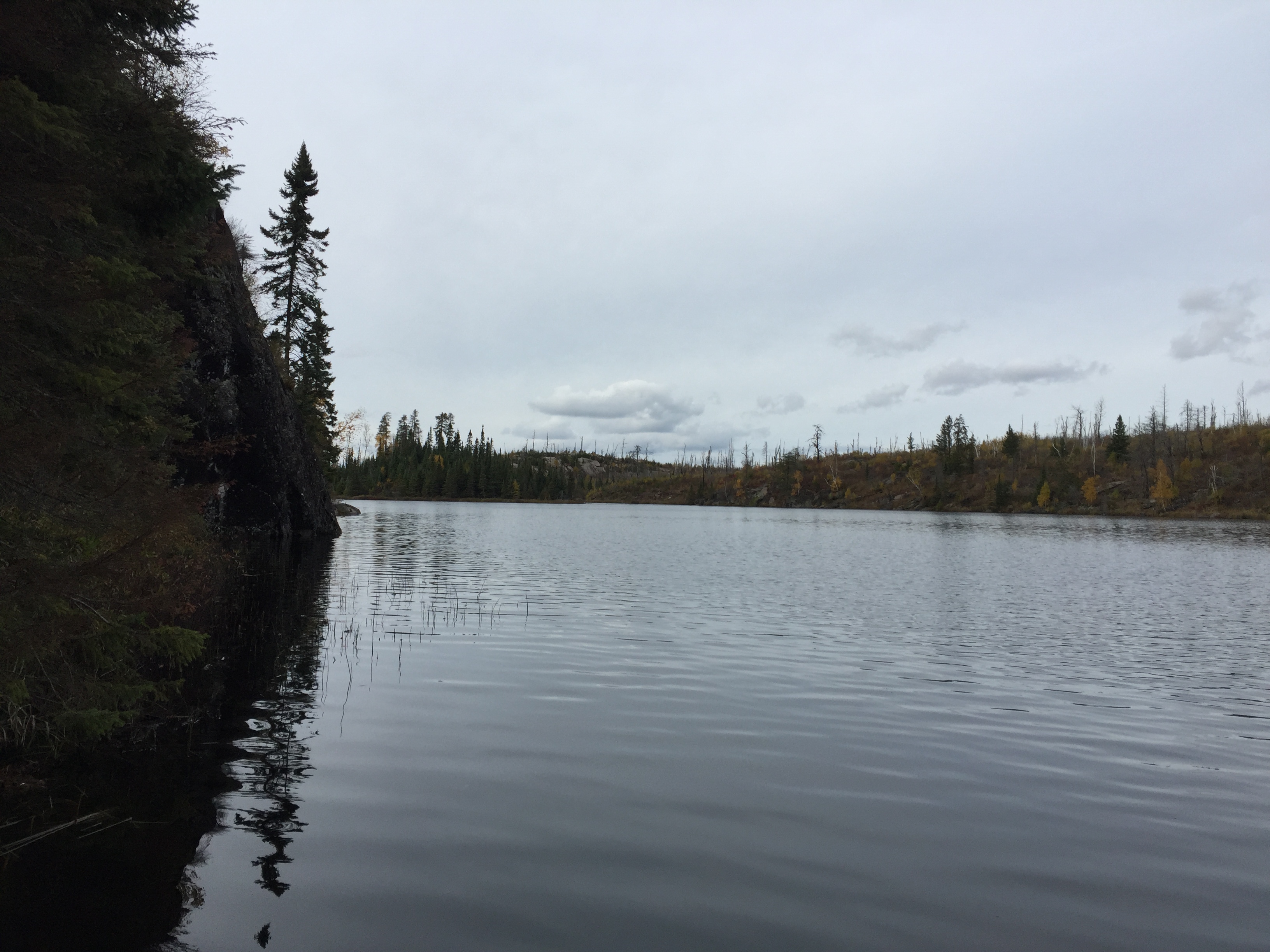
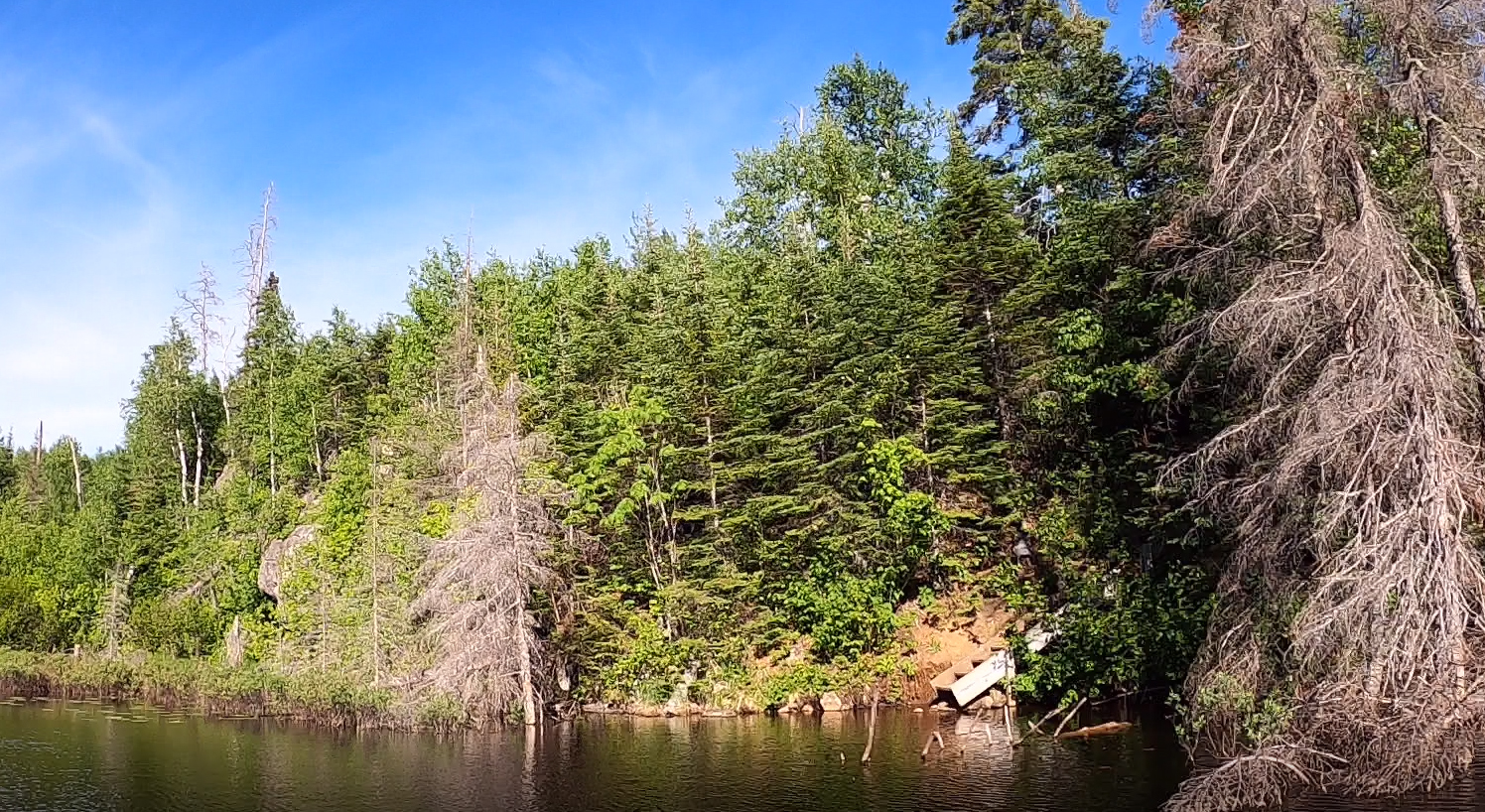
View of Flying Lake looking toward the northwest from the Green Lake portage. Just north up the shoreline from the portage begins a line of steep cliffs. Portage to Green Lake -or- Explore Another Route **********************************************END OF ROUTE***********************************************
PADDLING FLYING LAKE FROM THE CHUB RIVER PORTAGE TO THE GOTTER LAKE PORTAGE
No video paddling from the Chub River portage to the Gotter Lake portage. However the following photos are shown in chronological order, as you paddle south down Flying Lake from the Chub River to Gotter Lake.
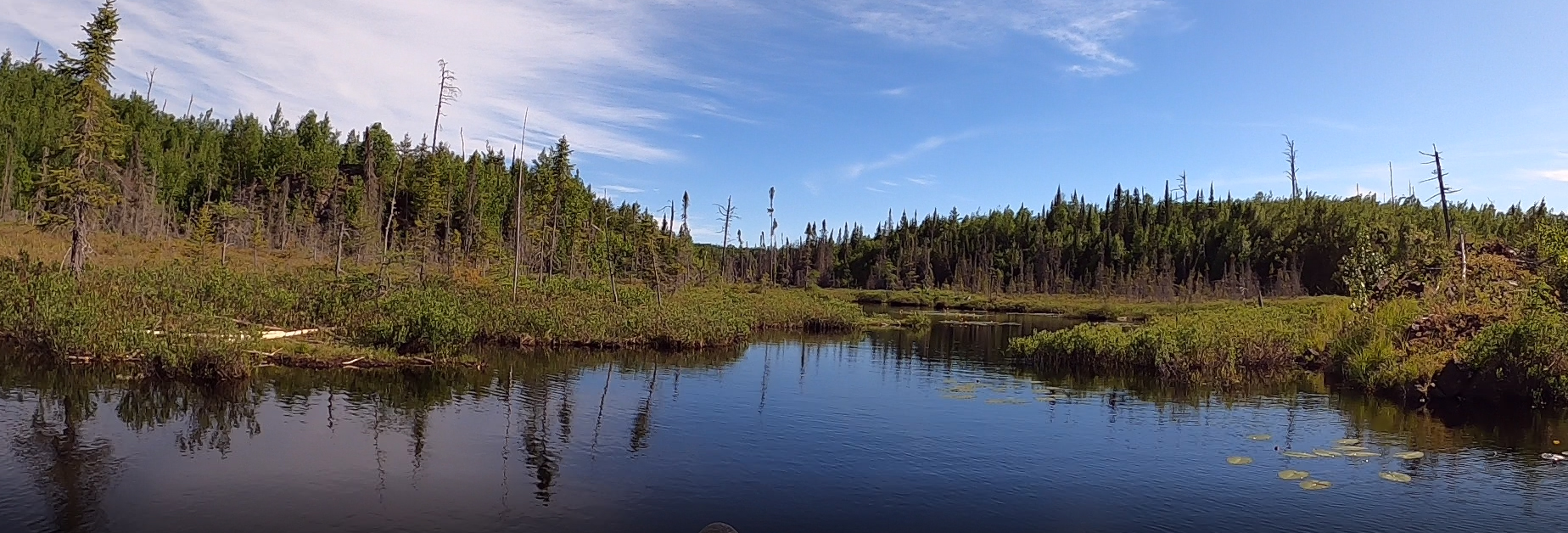
Just south of the Chub River portage heading down the long channel that extends out of the north end of Flying Lake. You may have to liftover a beaver dam along this stretch.
A bit further to the south down the long north channel. The more open part of Flying Lake is now visible in the far distance.
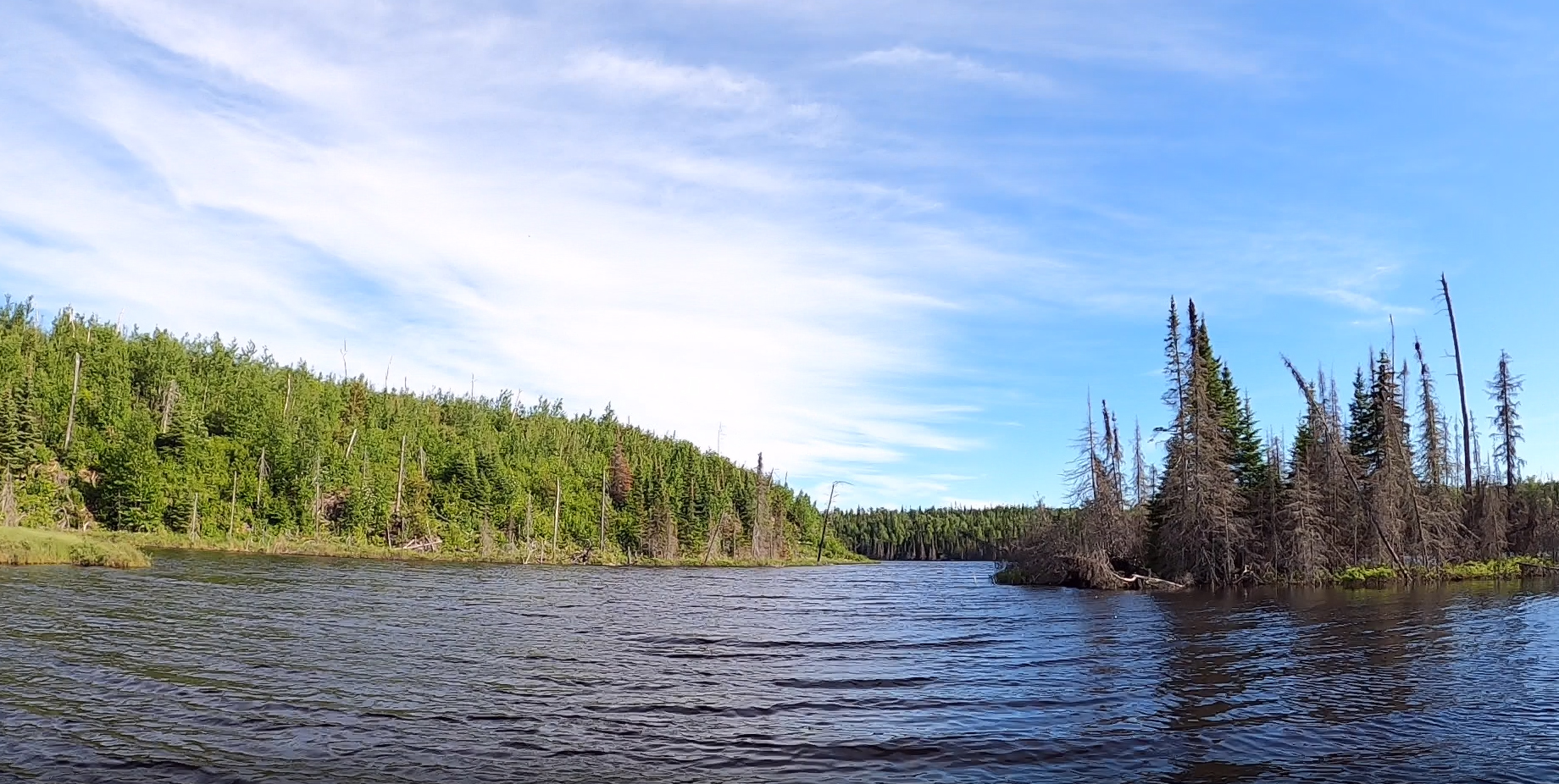
On the right side of your view, that is the point on the west side of the entrance to the north channel. Once you pass that, the lake opens up.
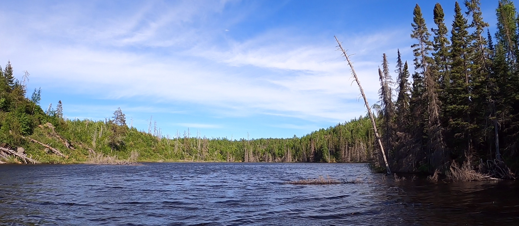
You have just left the north channel are now in open water. View is to the southwest.
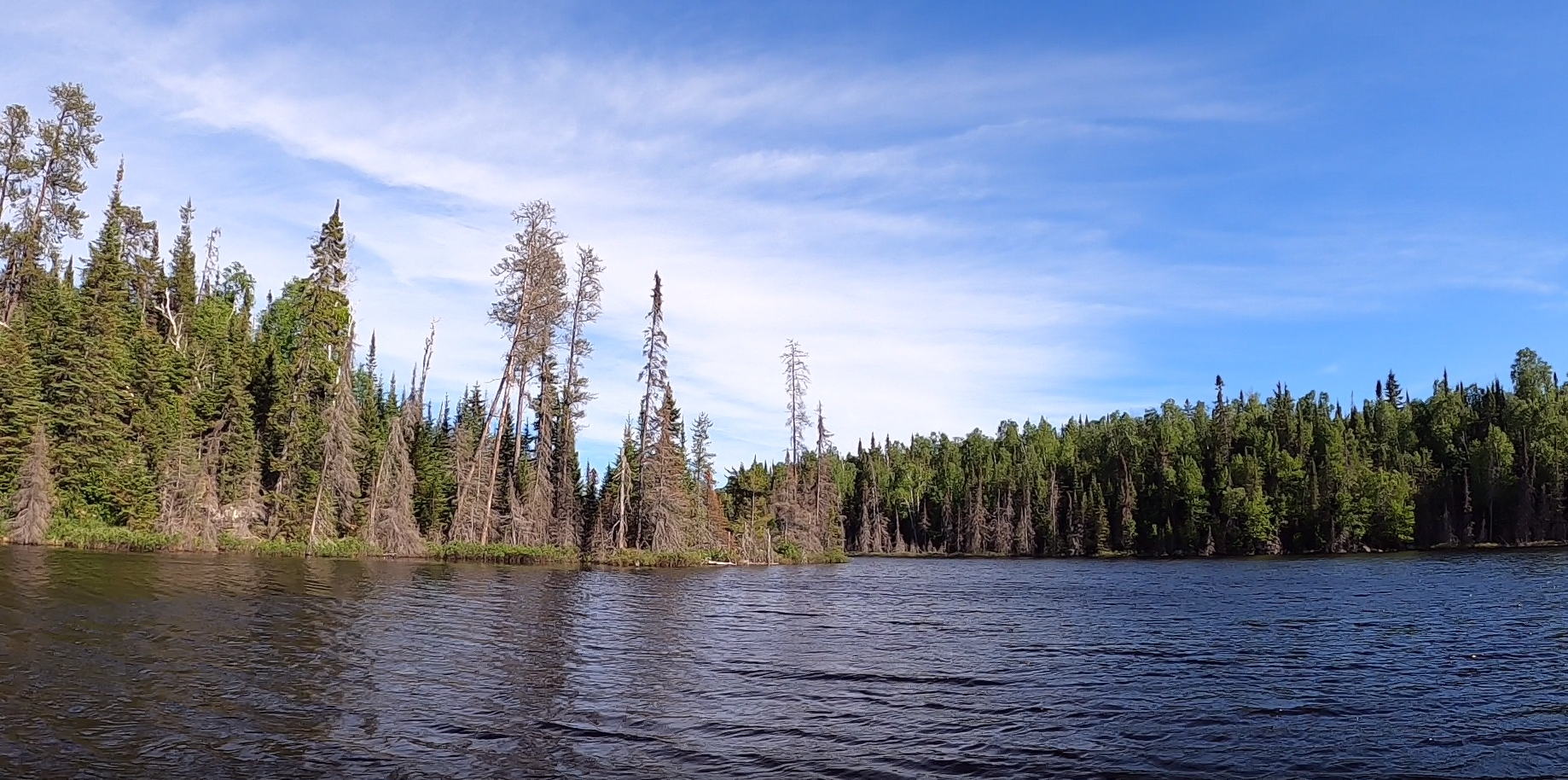
Flying Lake narrows slightly, a transition that separates the north part of the lake from the south end of the lake. The smallest of the lakes two islands is partially visible to the left. The larger island is visible in the distance just left of center. The west shoreline of the lake runs to the right of that large island, down the middle of your view.
Passing between the west shoreline (which is forested) on your right and the west end of the large island (on your left). The island was affected by the forest fire.
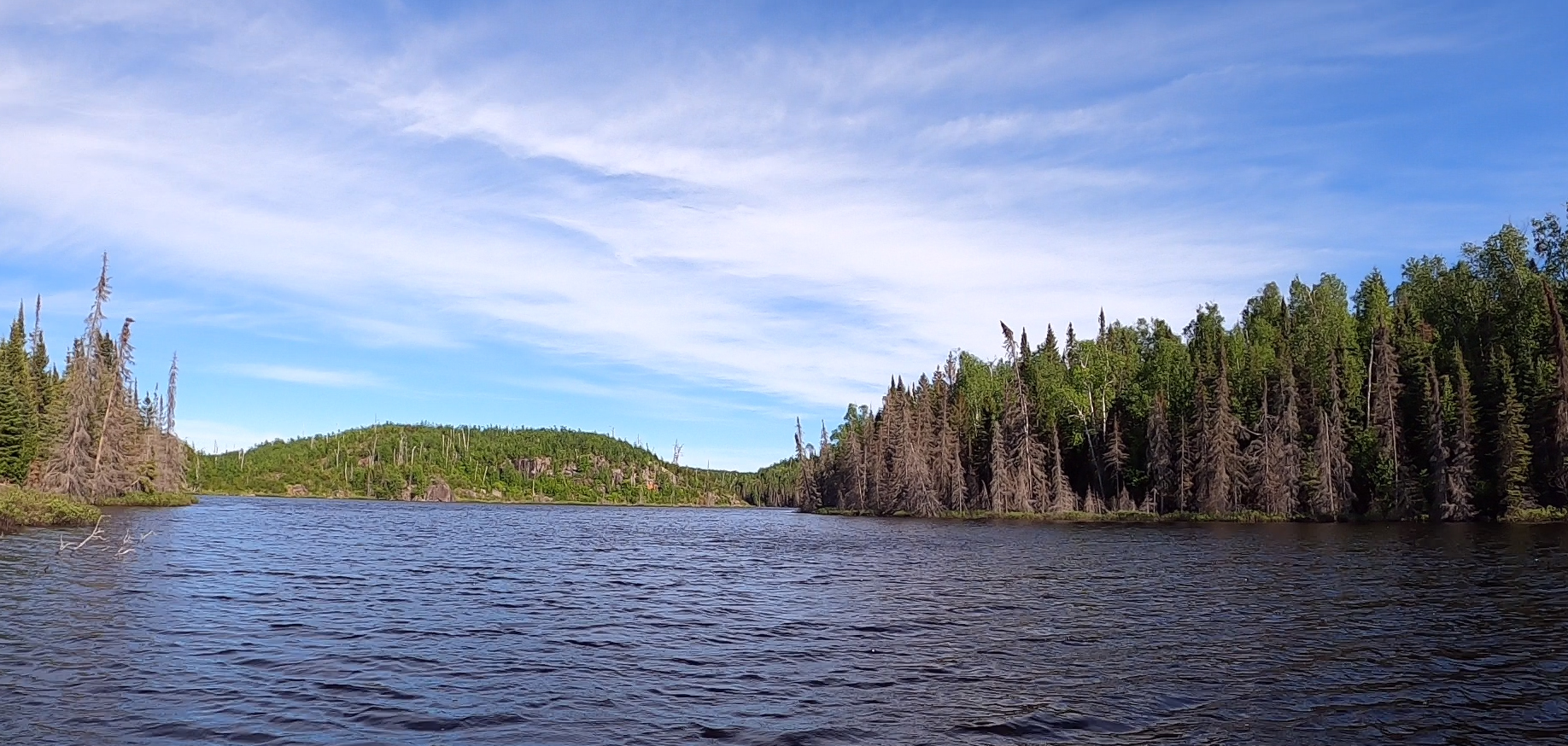
Looking to the northeast to take in the northeast shore of Flying Lake, that lies to the east of the large island. This viewpoint is from just southeast of the lakes largest island.
Coming up to the stairway portage. This stairway (just right of center) marks the beginning of the portage to Gotter Lake. Portage to Gotter Lake -or- Explore Another Route **********************************************END OF ROUTE***********************************************
Route Connections for Flying Lake
From Flying Lake, you can portage to the Chub River, Gotter Lake or Green Lake. The 87 rod portage shown on maps directly to Fay Lake does not seem to exist anymore. To reach Fay Lake, portage into the Chub River, then head west and you will find an unmarked portage that leads to Fay Lake.