Most of the Chub River is slow moving, but it is punctuated in several spots by short rapids that are avoided by portaging. As a rule, the portages along the Chub River are rugged (one is about as bad a portage as you will find in the BWCA). Nearly the entire course of the Chub River experienced the effects of the 2006 Cavity Lake Fire.
The Chub River officially starts at Bingshick Lake, but also gets some of its headwaters from a creek flowing in from Flying Lake. The river than flows through three other lakes: Fay Lake, Warclub Lake and Seahorse Lake. None of these lakes have much fishing potential. The Chub River ends at French Lake, after it cascades down a series of steep rapids that parallels the French Lake to Seahorse Lake portage.
The Kekekabic Trail crosses the Chub River in two places. The upstream location is between Warclub Lake and Fay Lake, where it follows the portage trail for a good part of its length. Be careful to stay on the portage and not head off onto the "Kek" where they intersect. The second crossing farther downriver is between Seahorse Lake and Warclub Lake. The trail follows the river on one side or the other along most of the Chub River's course.
References:
Beymer, Robert, Boundary Waters Canoe Area – Volume 2 – Eastern Region (Berkeley: Wilderness Press, 2006), 156, 158.
Traveling the Chub River (Upstream)
Click on the photos below to see the full resolution image - Use your browsers back button to close photo and return to this page.
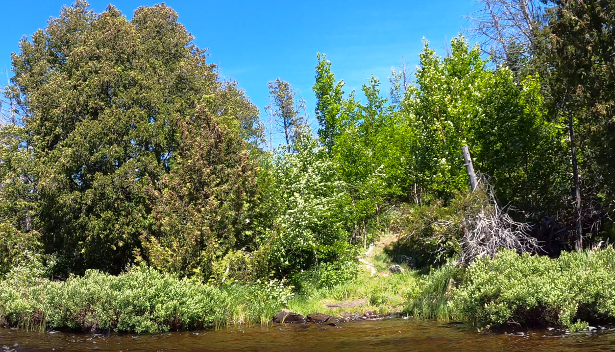
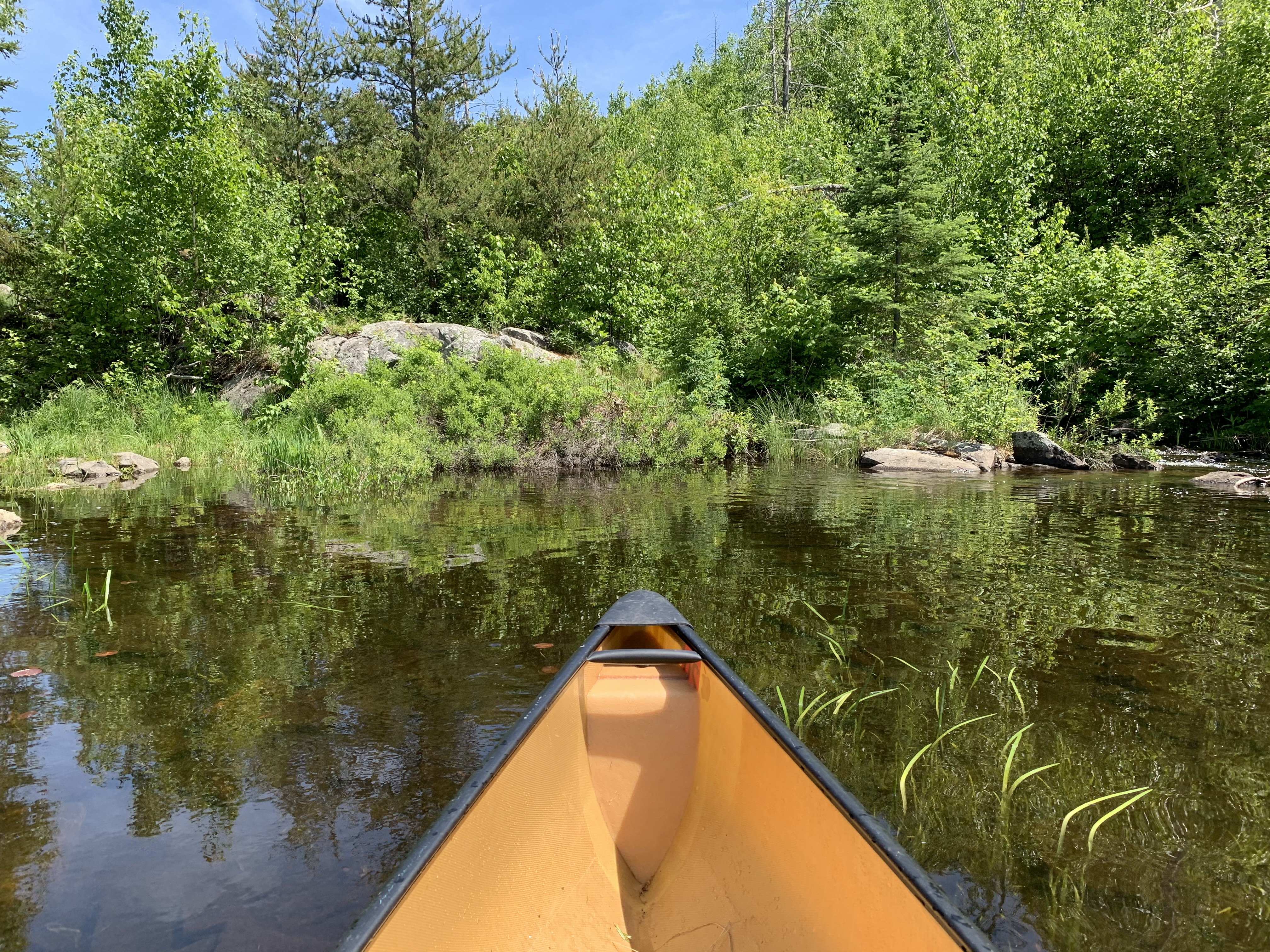
Your trip along the Chub River begins at French Lake, at the French Lake to Seahorse Lake portage. The rapids/waterfall just to the left of the portage as viewed from French Lake, is the last gasp of the Chub River. The river comes to an end here where it enters French Lake.
The Chub River flows into French Lake here, just to the left of the portage landing behind that row of bushes growing in the water, which are visible in the lower left of your view.
Head up the portage from French Lake to Seahorse Lake. You can hear the Chub River pouring down the sharp rapids from Seahorse Lake on your left. The undergrowth allows for occasional glimpses of these rapids. At the top of the hill you arrive at Seahorse Lake. Seahorse Lake is really just a wide section of the Chub River. [Explore Seahorse Lake]
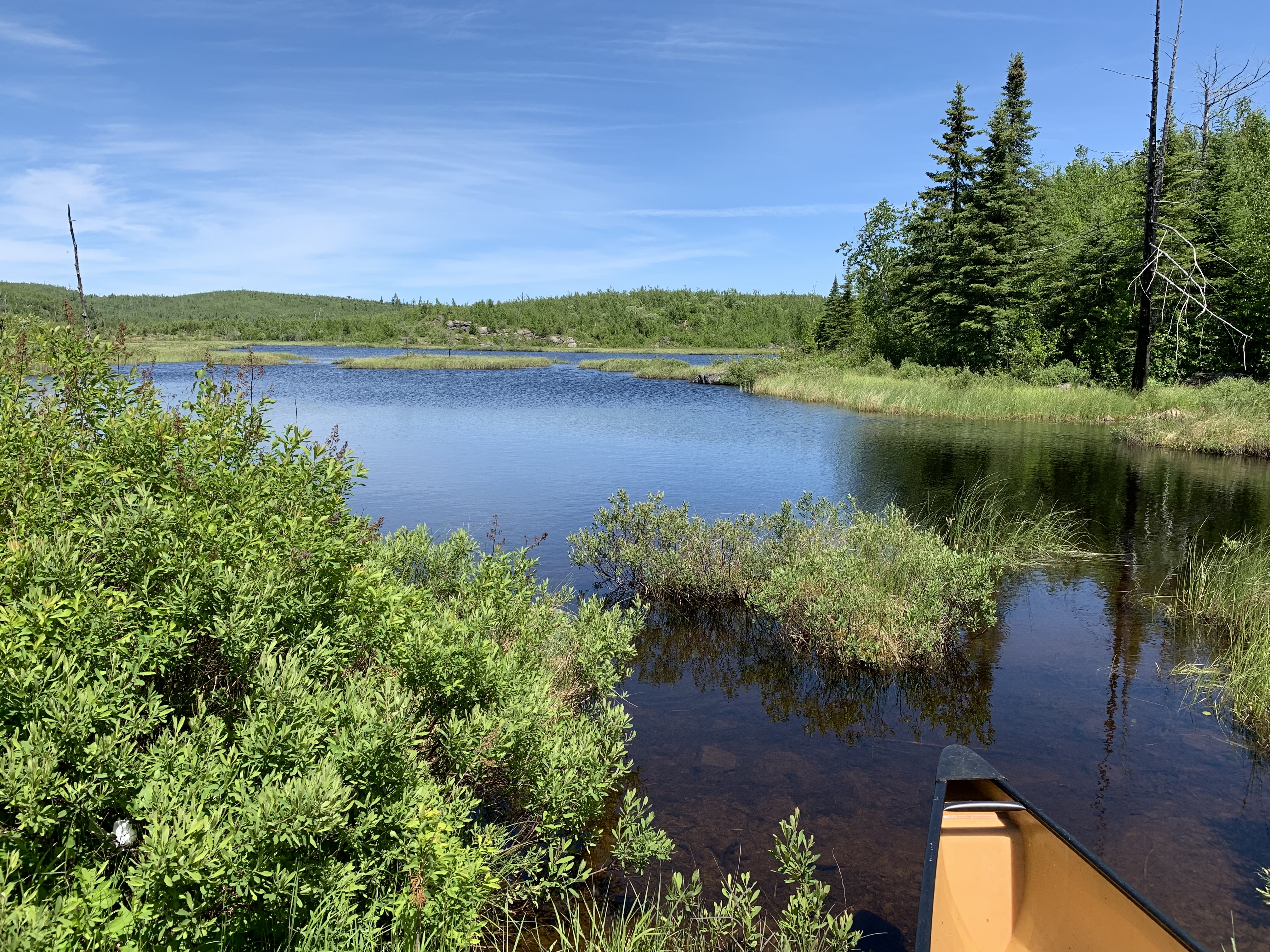
Seahorse Lake lies before you after climbing the short portage up from French Lake.
Continuing your trip up the Chub River, you paddle across Seahorse Lake. From the French Lake portage you head north, up the "tail of the seahorse". As you approach the north shore of Seahorse Lake (around the "mouth of the seahorse"), you take a sharp right and head east. As you head east the lake slowly grades into the Chub River (hard to tell where the lake ends and the river begins). You are paddling along the "nose of the seahorse".
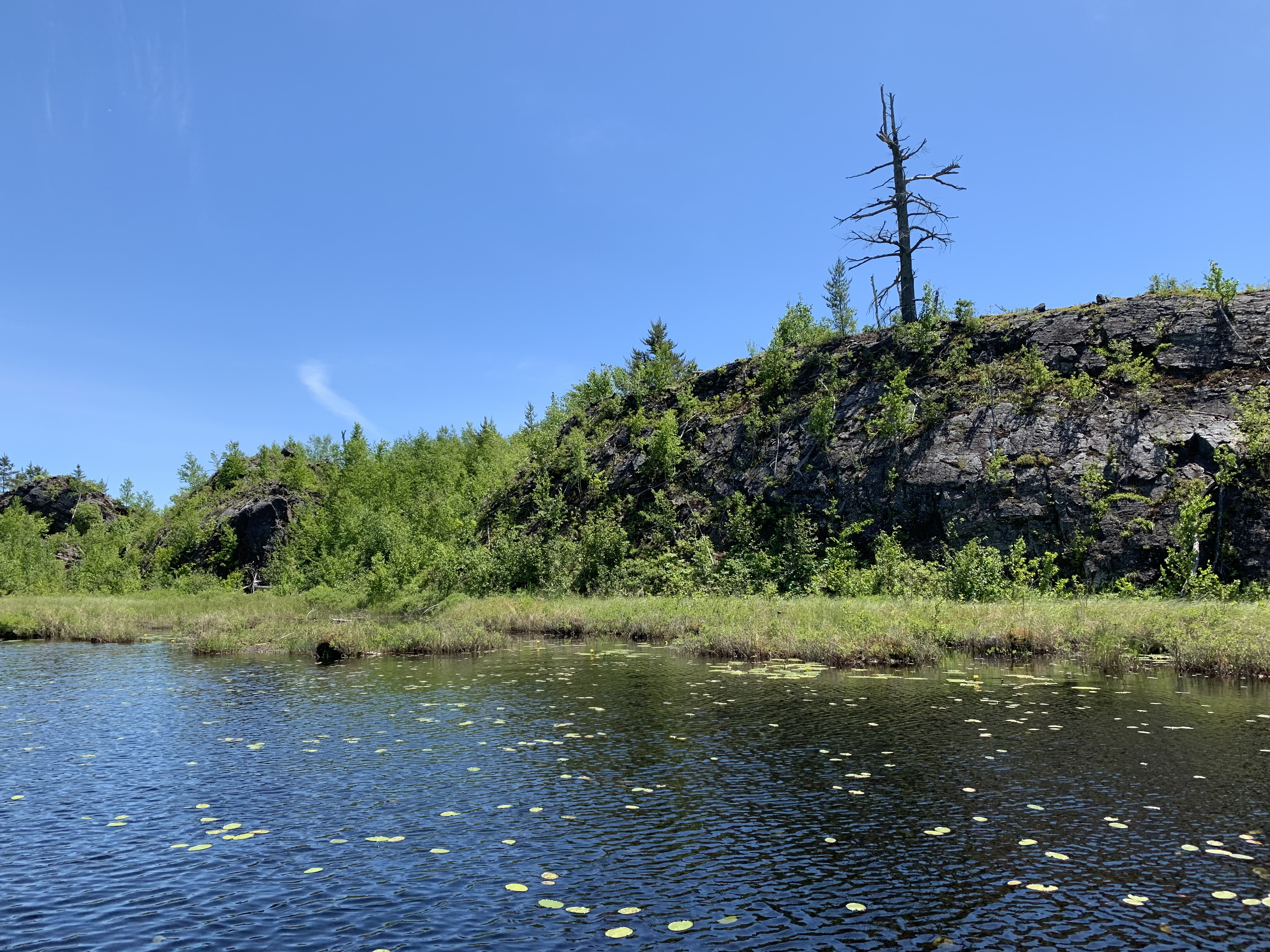
View of the south shore of the long eastern channel or "nose" (or is it the Chub River) extending out of the northern part of Seahorse Lake.
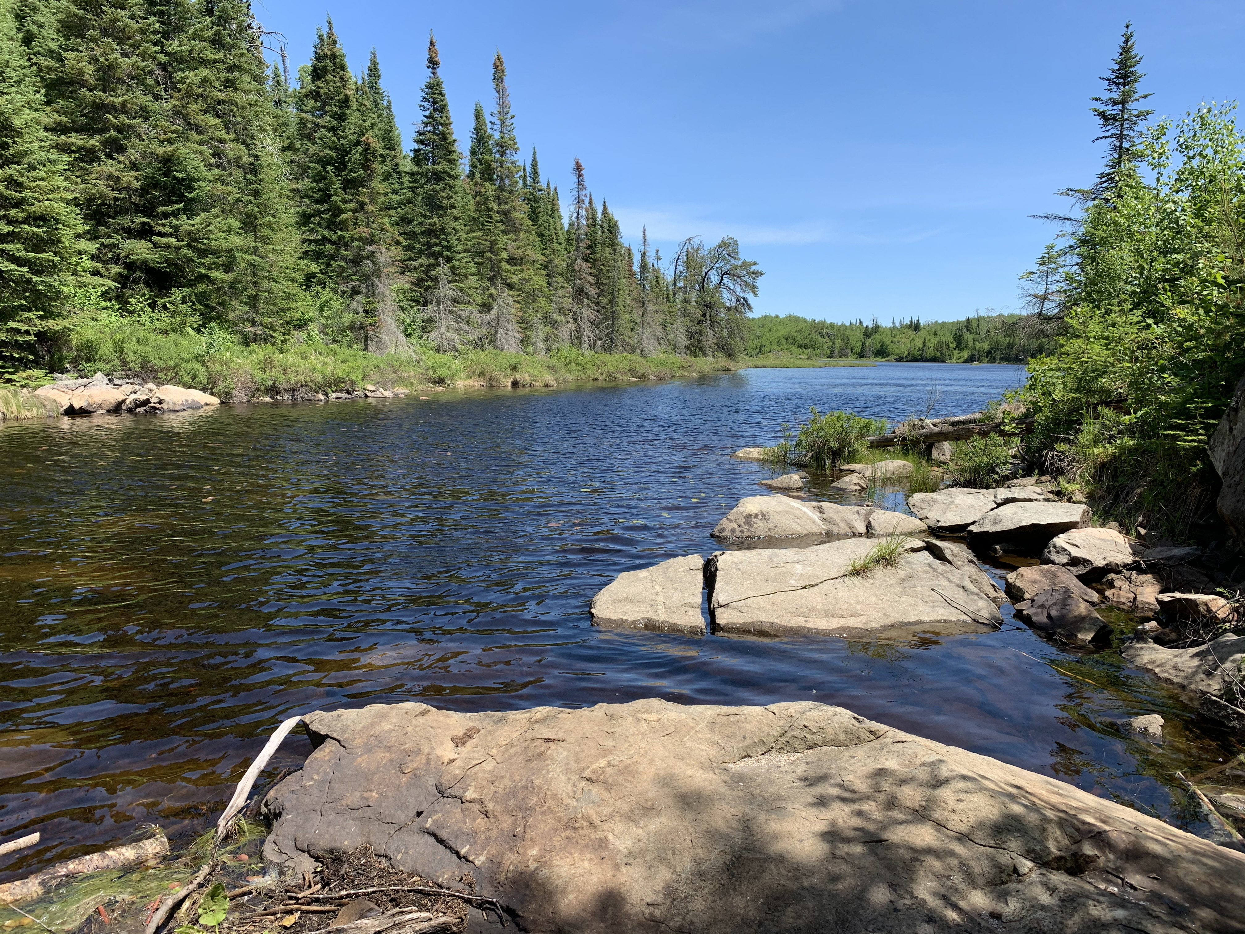
Paddling along the Chub River toward the east until you reach the Warclub Lake portage. There is no perceptible current until you reach the portage.
Arriving at the portage to Warclub Lake.
Looking upriver through the mild rapids in direction of Warclub Lake. The Kekekabic Trail crosses the river on that string of rocks that stretch across the river in the middle distance. The portage landing is just to your right out of your field of view.
This portage is fairly short, but it is somewhat rugged. The portage landing at the downstream end on the Chub River isn't too bad. The water is a bit deep, but you can easily step out onto the mushy shore. On the Warclub Lake end, you can either put in from the beaver dam (there is usually one here) or by putting in between those large boulders you see. A solo canoe is easiest from the beaver dam. Think the boulders would be easier if you have a partner in the canoe. [Explore Warclub Lake]
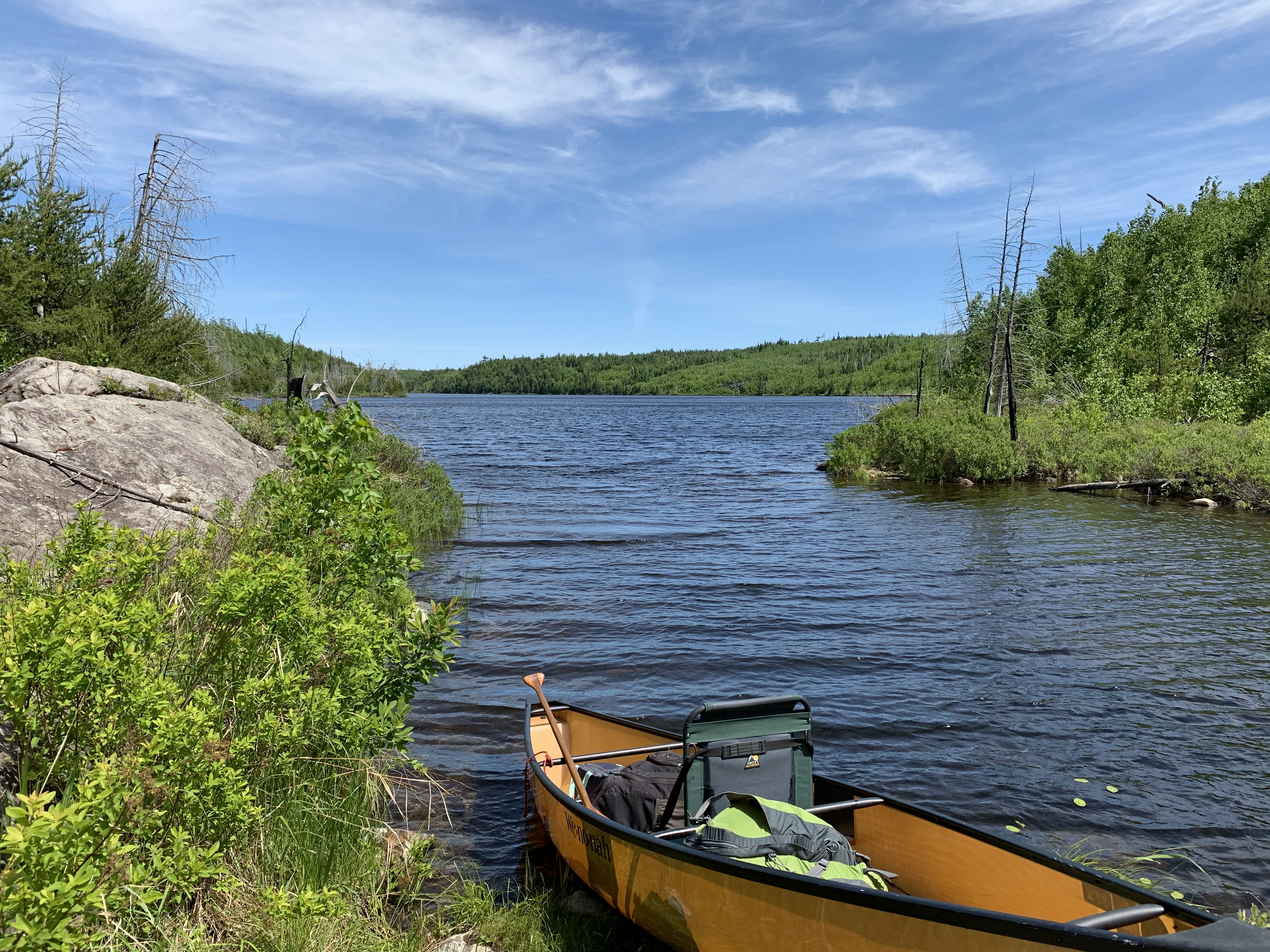
Warclub Lake strikes a pretty pose just above the rapids where the Chub River flows out its western end. This view is to the east. The beaver dam is right at your feet, to the left.
Paddling from the Chub River portage on the west end of Warclub Lake, across the lake, to its eastern side. After arriving at the east shore, you will once again re-enter the Chub River.
From the east side of Warclub Lake continue on a mostly eastward heading until you reach the Fay Lake portage. You may have to do the beaver dam ballet through this section, depending on how busy the beavers have been lately.
Approaching the Fay Lake portage. The Chub River bubbles through a set of rapids to the right of your view. The portage landing here is good, albeit a little soft.
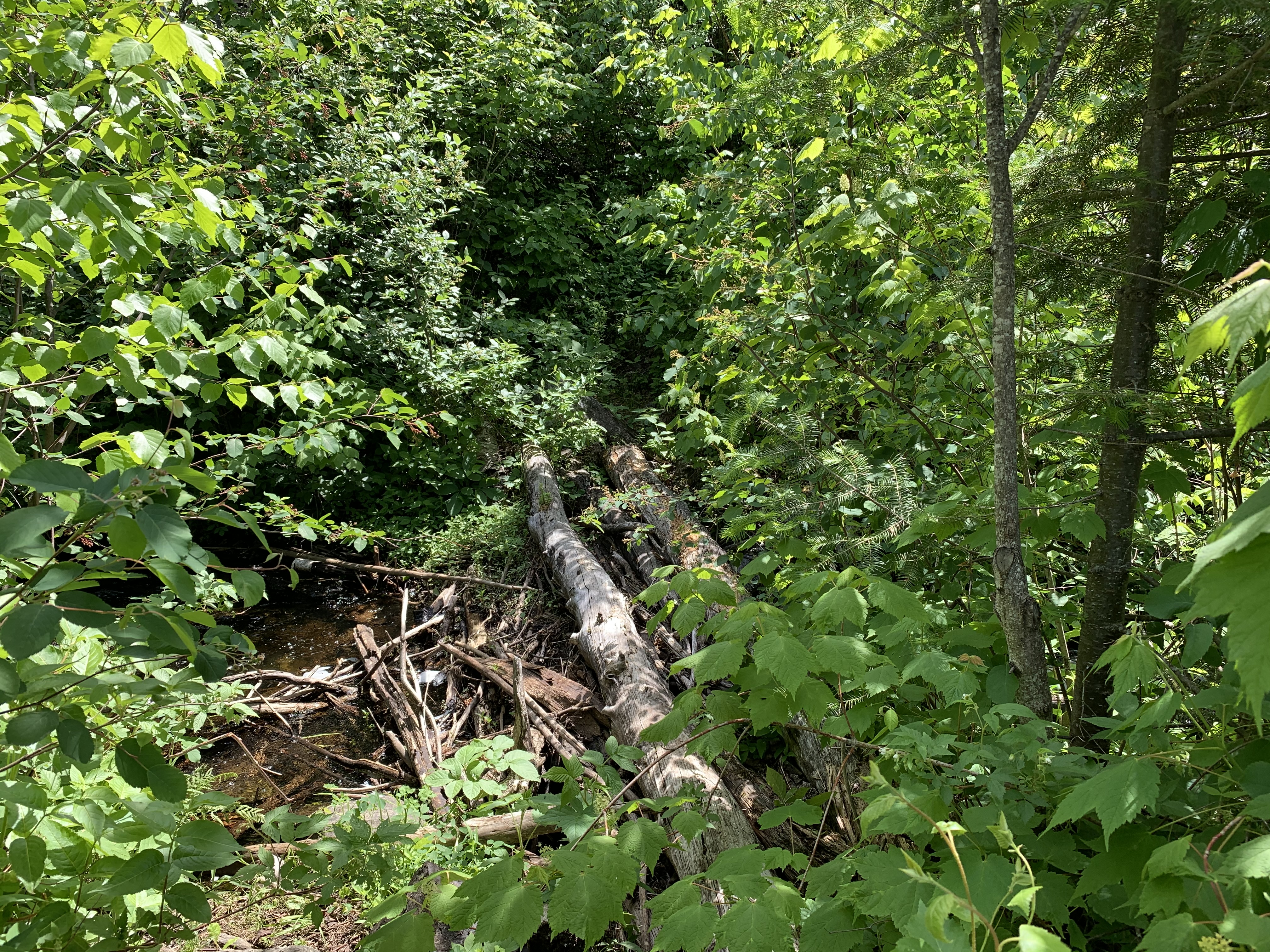
The Kekekabic Trail crosses the Chub River on this log "bridge" at the western end of this portage.
This portage is practically a bushwhack. It is really bad. It follows the same path as the Kekekabic Trail for a good bit of its length. To begin, the portage offers a boulder strewn creek to carefully pick your steps through. It then traverses some brushy trail as it climbs the slope above the Chub River. It then descends down a rumble strewn path to the edge of the river and sometimes even goes into the river. Through this section you just sort of make it up as you go along, as the portage is underwater (thank the beavers for that). Climb over or under several downed trees. The portage continues with more rock hopping and weaving around, over or beneath more fallen trees. Downhill a little bit to the edge of Fay Lake. At this point you are probably too tired to care about fishing Fay Lake. That is just as well, as the lake hardly has any fish worth the bother. [Explore Fay Lake]
The water here is fairly deep so loading/unloading requires a little care.
This is the one lake that the Chub River flows through that actually feels like a real lake and not just a wide spot in the river. From the end of that ruthless portage, you paddle out into the open part of Fay Lake. From there make for the south shoreline (to avoid the wind which is blowing from the south) and follow that shore all the way to the east end of the lake. At the east end of Fay Lake, look around for the portage landing to Flying Lake. It's on your map afterall. You may find the landing for it (which exists), though the actual portage doesn't go far...it disappears into a tangle of burned forest shortly after it begins. From the former location of the Flying Lake portage, paddle a short distance north up the east end of Fay Lake and make a right into the Chub River. Follow the Chub River a few hundred feet until it becomes unnavigable. At that point, to your right is the portage landing. This is an unmarked portage (not on maps). You take this portage to the next navigable section of the Chub River.
The start of the unmarked portage that leads to the next canoeable section of the Chub River. The landing here is surprisingly descent. It can be a little hard to find, but just paddle as far as you can up the Chub River from Fay Lake (a few hundred feet) and when you can't go any farther, just look to the right and there will be the portage landing.
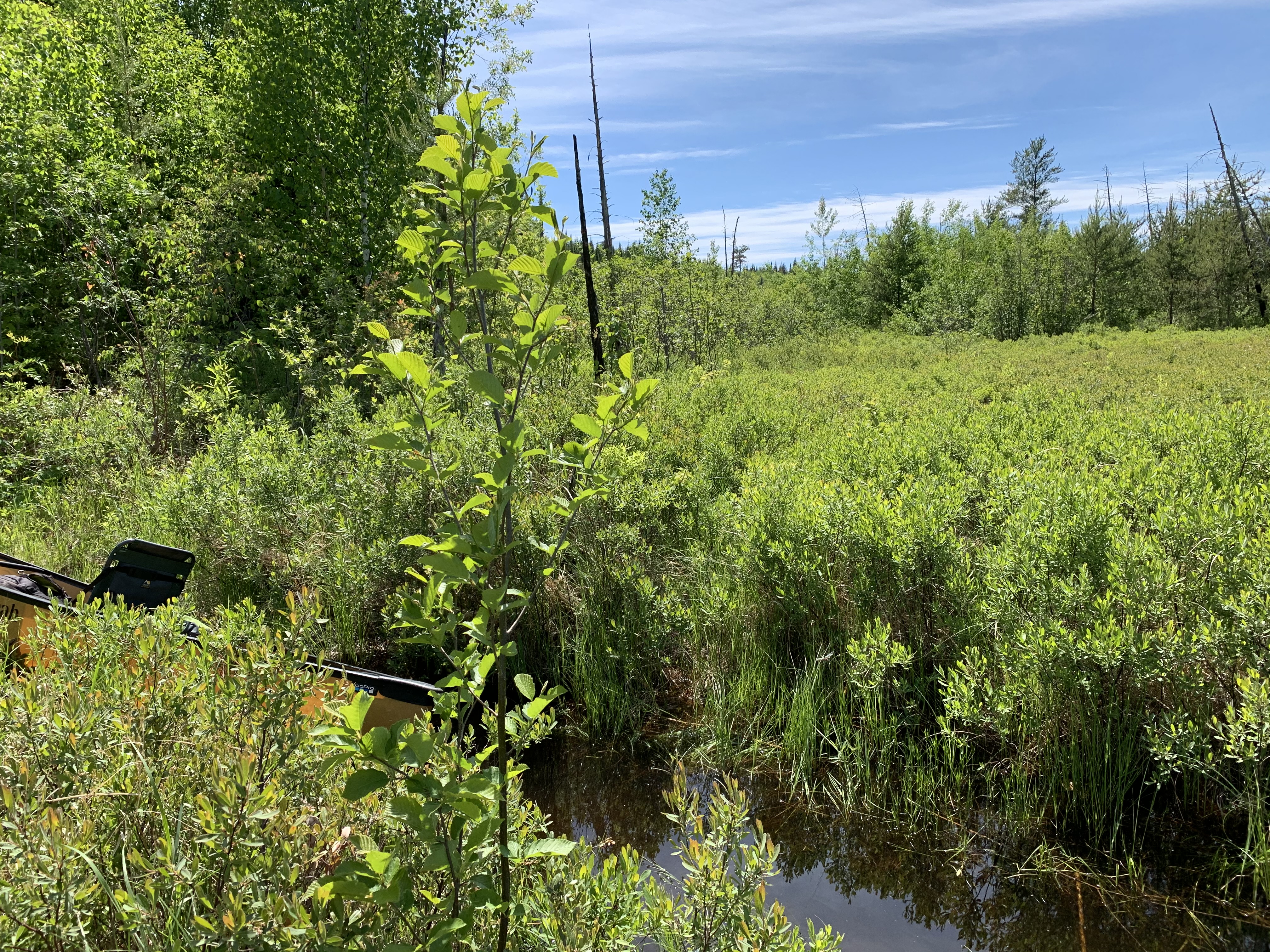
This unmarked portage is roughly 40 rods long. It is somewhat rugged. Near the end, at the base of a large beaver dam, you hop a small stream (which is the Chub River) and then walk along the base of a slope which will be on your left. To your right is a drowned forest which was probably brought to that state because of the beaver dam which raised the level of the Chub River. Put your canoe in at the base of the slope above the beaver dam.
NOTE: DON'T HAVE VIDEO FOR THIS SHORT SECTION -- From just above the beaver dam at the drowned forest, you need to paddle about 80 rods (a quarter-mile) to the northeast along the Chub River until you reach a T-intersection. At this "T", you can go north to the portage to Bingshick Lake. Otherwise, go south and you will soon come to the portage to Flying Lake. Bingshick Lake is the source of the Chub River.
THERE IS NO SOUND ON THIS VIDEO - CAMERA MALFUNCTION: This portage is straight up hill along a creek. Actually in the creek. Even though you walk in water most of the way, the footing is OK. Watch out for slick spots in steep, shaded rock sections where slippery algae could form. Once you make it up the slope, just head to the left along the exposed rocks. There is a large table rock that sort of marks the location of the canoe landing. [Explore Bingshick Lake]
This concludes your travels along the Chub River upstream from French Lake to Bingshick Lake.