Wind Lake
Kawishiwi Ranger District
WIND LAKE CAMPSITES:
None visited yet.
This is a popular lake, just west of Moose Lake, that requires only a short paddle to reach. The portage of 175 rods is rather longish, but is otherwise easy.
Washte Lake is accessible by an unmaintained portage from Wind Lake. The portage runs from the small bay on Wind Lake to the northwest shore of Washte Lake. The Minnesota DNR accesses Witness Lake from Washte Lake via a "discrete" (as the Minnesota DNR calls it) 90 rod portage.
Lake is known for good northern pike and walleye fishing.
The area was logged by the Swallow and Hopkins Company of Duluth in the early 1900's. The logs were milled in Winton, Minnesota by Sam Simpson's operation. Simpson was succeeded by Mr. Good and was in charge of the operation until the Winton mill shut down in 1922 (Heinselman, 1999). Good Lake is also named after him. In 1910 a slash fire burned some of Wind Lake's shoreline.
References:
Beymer, Robert, Boundary Waters Canoe Area – Volume 1 – Western Region (Berkeley: Wilderness Press, 2006), 165.
Heinselman, Miron, The Boundary Waters Wilderness Ecosystem (Minneapolis: University of Minnesota Press, 1999), 101, 103.
Pauly, Daniel, Exploring the Boundary Waters (Minneapolis: University of Minnesota Press, 2005), 164.
Exploring Wind Lake
Click on the photos below to see the full resolution image - Use your browsers back button to close photo and return to this page.
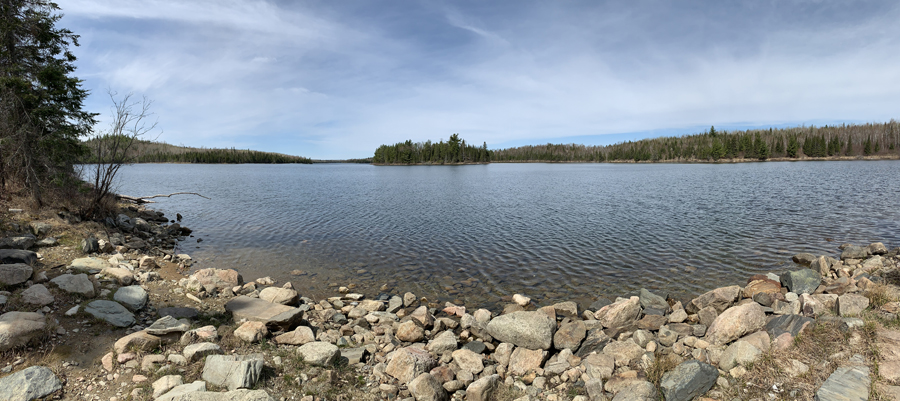
Peering west from the Moose Lake portage. That island (center of view) is about 900 feet away.
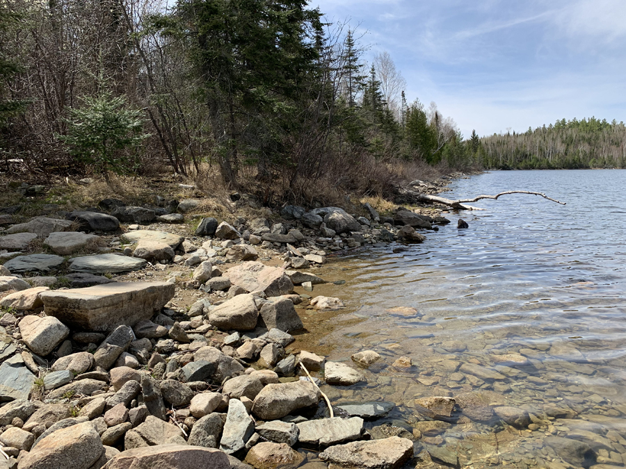
View to the southwest along the shoreline. This image is from the Moose Lake portage.
Route Connections for Wind Lake
From Wind Lake, you can portage to Basswood Lake and Moose Lake. You can also take an unmaintained portage to Washte Lake.
Return to Top of Page
|


