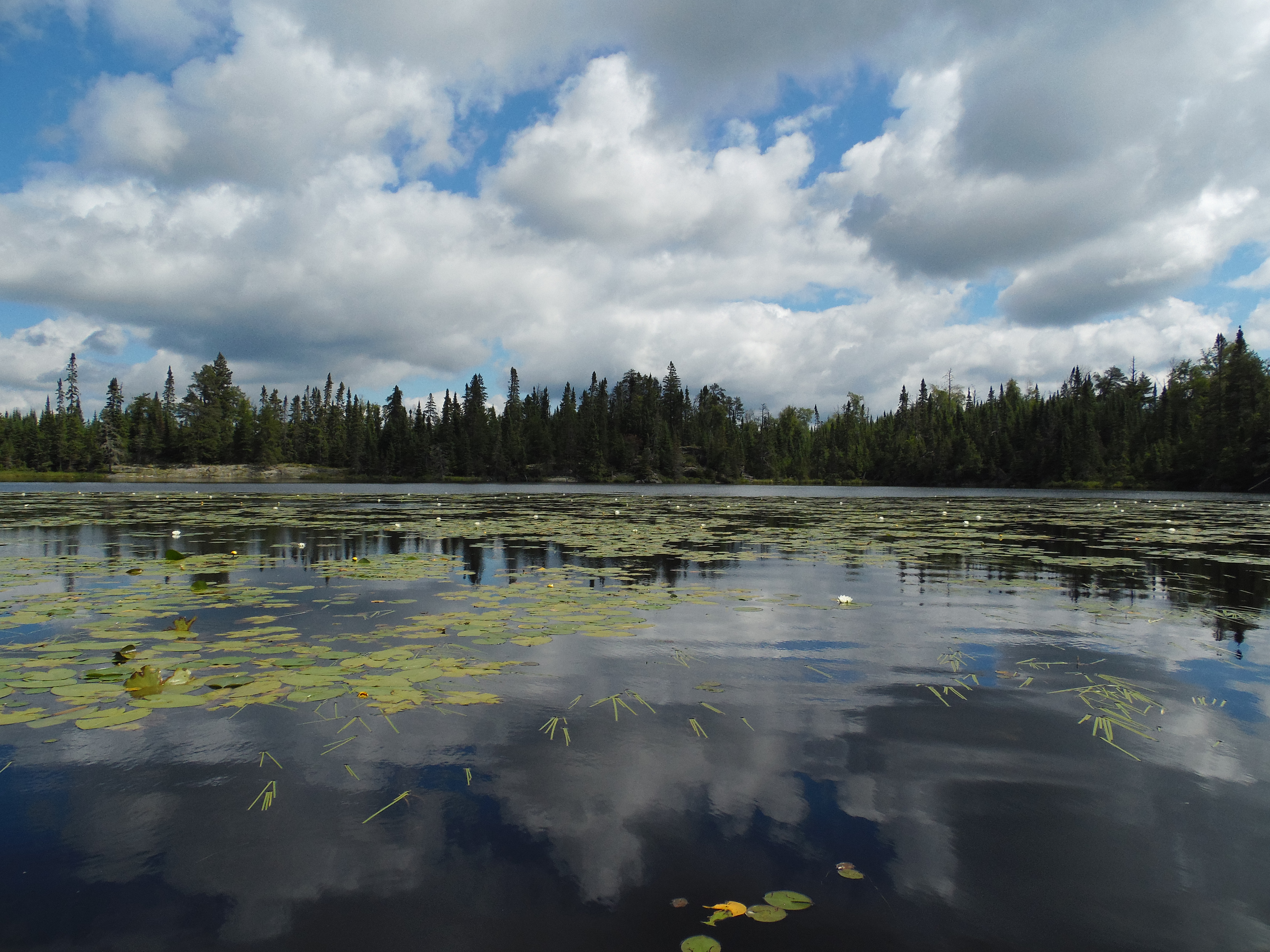
This unnamed lake must be paddled across to reach the creek leading to Fool Lake, Lucky Pay Lake and Jester Lake. This group of lakes could be called "The Royal Court" or perhaps "The Gambler's Chain". Even though this lake has no official name, spend some time here as it is very pretty in its own right. A series of small waterfalls empties this unnamed lake into Cross Bay Lake. The unnamed lake itself is raised a foot or two by a large beaver dam at the headwaters of the short, rapidly descending creek.
A number of smaller burns affected the eastern part of the Boundary Waters Canoe Area Wilderness in 1936, including some areas in the Hairy Lake Primitive Management Area.
The year 1894 saw a large number of fires throughout the entire BWCA. The fire that impacted this area is called the Snipe Lake/Round Lake Area to Gunflint Lake/Pine Lake Area Complex. This fire probably got its start near Round Lake, a popular BWCA entry point.
A fire started within what is now the Hairy Lake Primitive Management Area. The ignition point was probably somewhere between Mass Lake and Auk Lake. This fire, which took place in 1846, is called the Auk Lake/Long Island Lake/Cross Bay Lake Complex.
The 1824 Long Island Lake/Rush Lake/Loon Lake Complex probably burned the eastern part of the Hairy Lake Primitive Management Area and moved eastward. It likely started somewhere around Snipe Lake, or perhaps the northwest part of Long Island Lake.
Way back in 1727, the Gordon Lake/Brule Lake/Winchell Lake Complex burned this area. It probably began somewhere near Sawbill Lake.
Click on the photos below to see the full resolution image - Use your browsers back button to close photo and return to this page.
The entire approach is from Cross Bay Lake. Look and listen for the sound of the waterfall along the south most shore of Cross Bay Lake. A good canoe landing is just to the right of the waterfall, if you are facing it. Start the bushwhack from there.
Bushwhack to Unnamed Lake
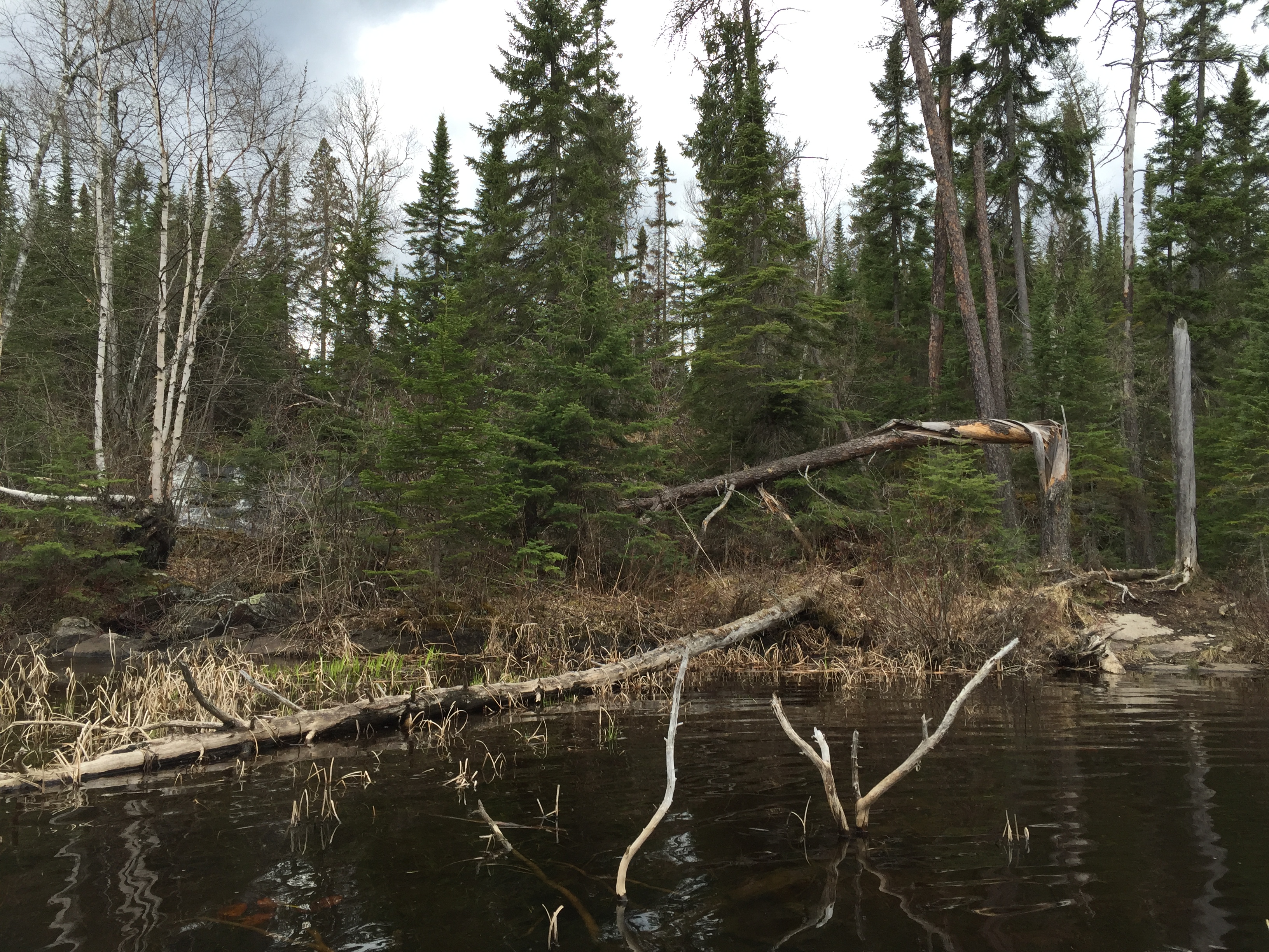
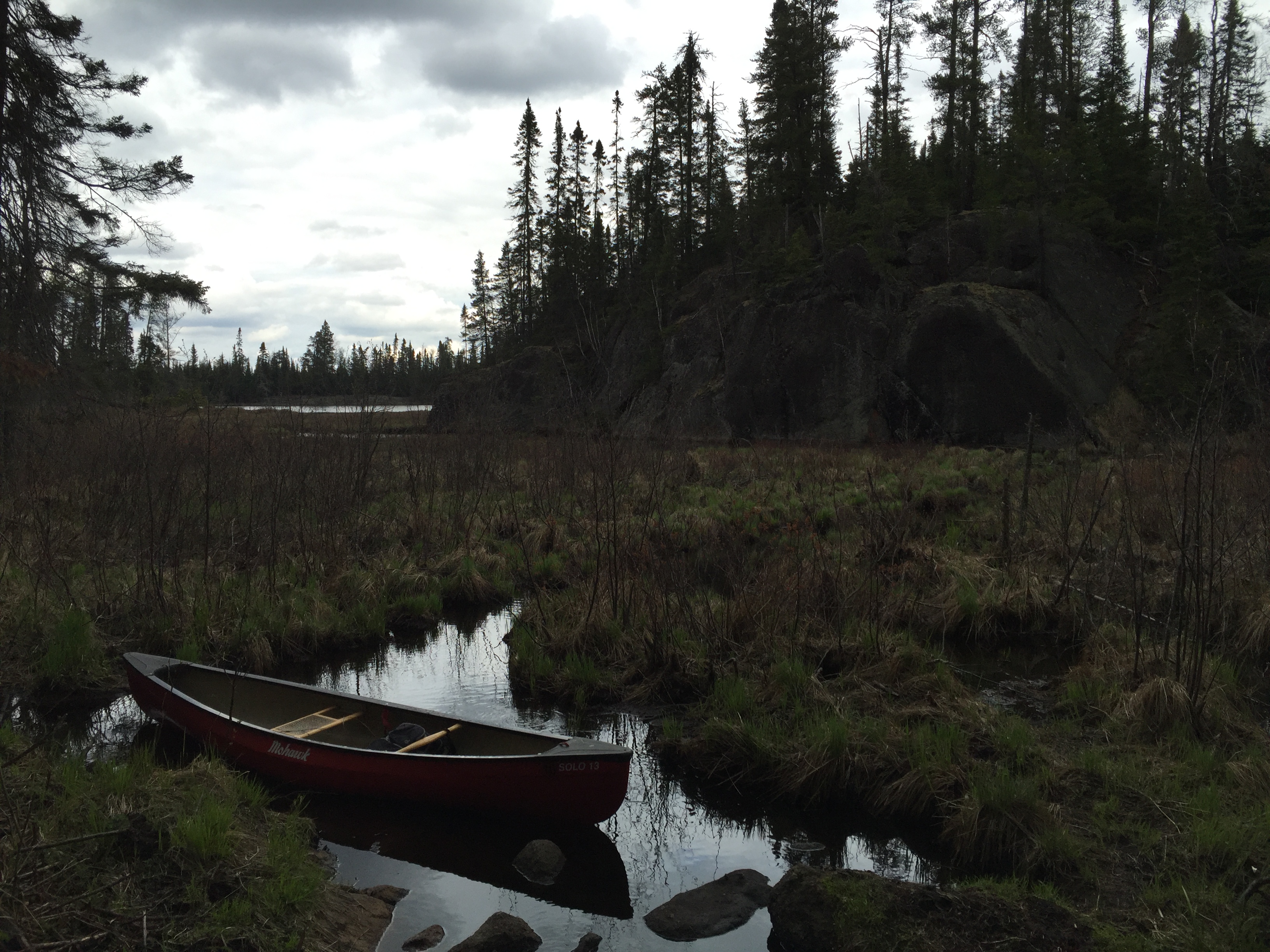
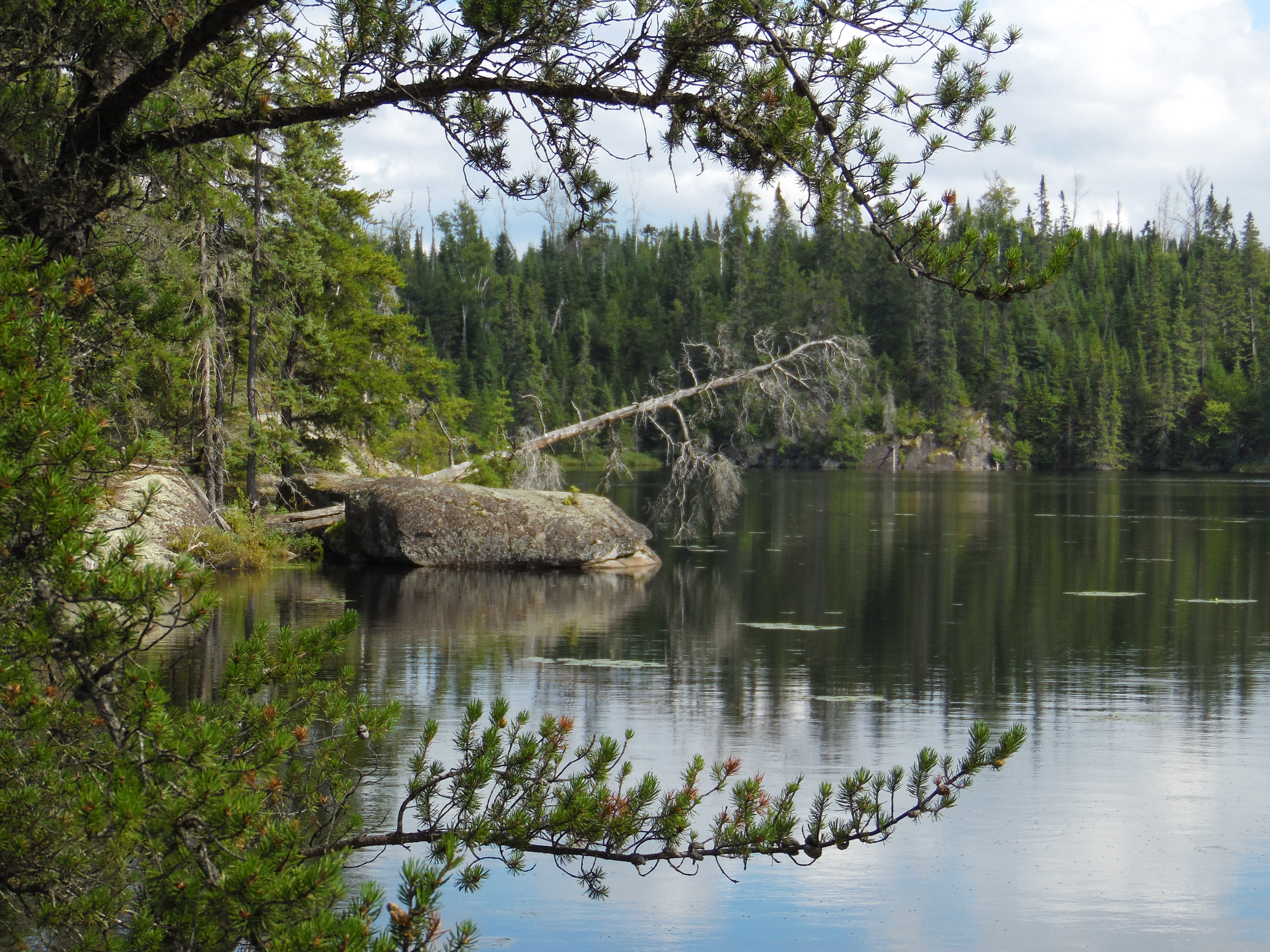
The bushwhack from Cross Bay Lake to the unnamed lake begins here. You can land your canoe on the sloped rock on the right side of your view. The waterfall on the left of your view marks the location of the creek. The bushwhack generally follows this creek up to the unnamed lake. This view is in spring. In the summer, you won't be able to see the waterfall, but you will certainly be able to hear it. So this location is easy to find because of that.
You can hear the sound of the rushing creek before you can see it, as you approach this area on Cross Bay Lake. After you land your canoe, you portage around a small waterfall from Cross Bay Lake as you make your way up to an unnamed lake. The trail here is obvious; but there is deadfall. You have to pull your canoe up a rock face too, which keeps things interesting. As you reach the unnamed lake, you notice the lake is held back by a large beaver dam, over which the creek flows on its short journey down to Cross Bay Lake below. Paddling across the unnamed lake will bring you to the creek that leads farther into the Hairy Lake PMA; namely to Fool Lake, Jester Lake and Lucky Pay Lake (The Gambler's or Royal Court Lake Chain -- take your pick).
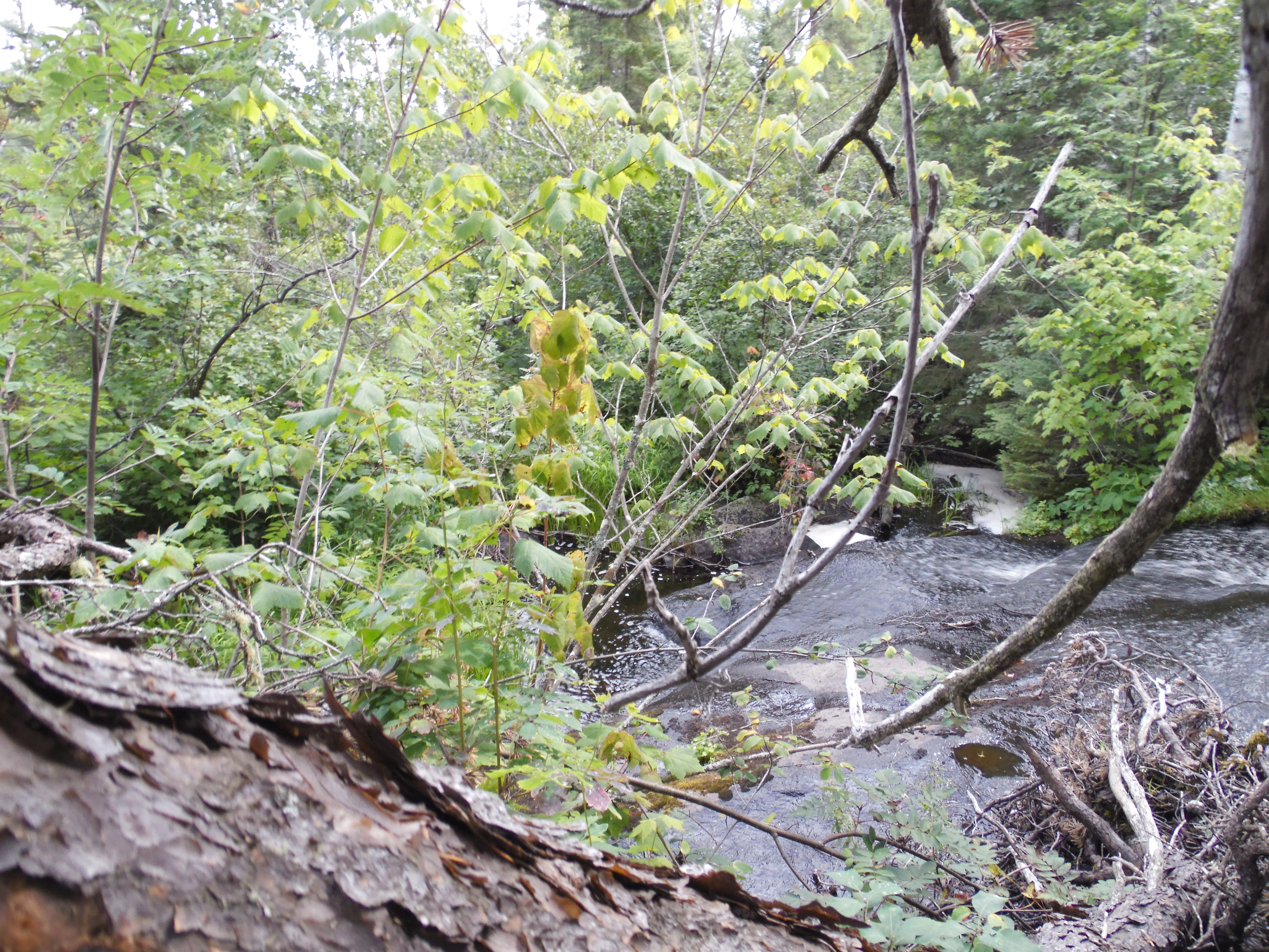
This waterfall is just up the trail to the left from where you landed the canoe. You can see and hear this waterfall from Cross Bay Lake.
Here is a close look at the upper part of the waterfall just below the beaver dam that holds back the lake.
PADDLING FROM THE CROSS BAY LAKE BUSHWHACK TO THE MOUTH OF THE CREEK
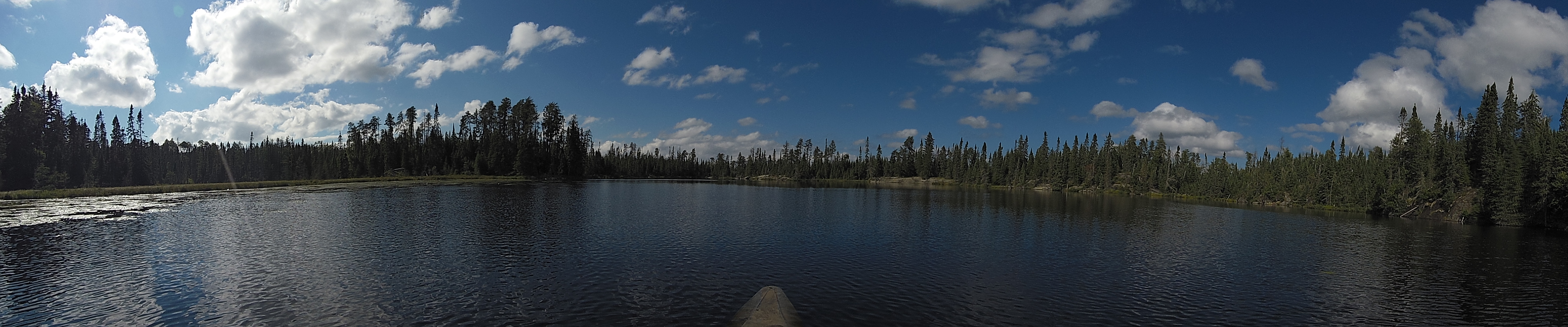
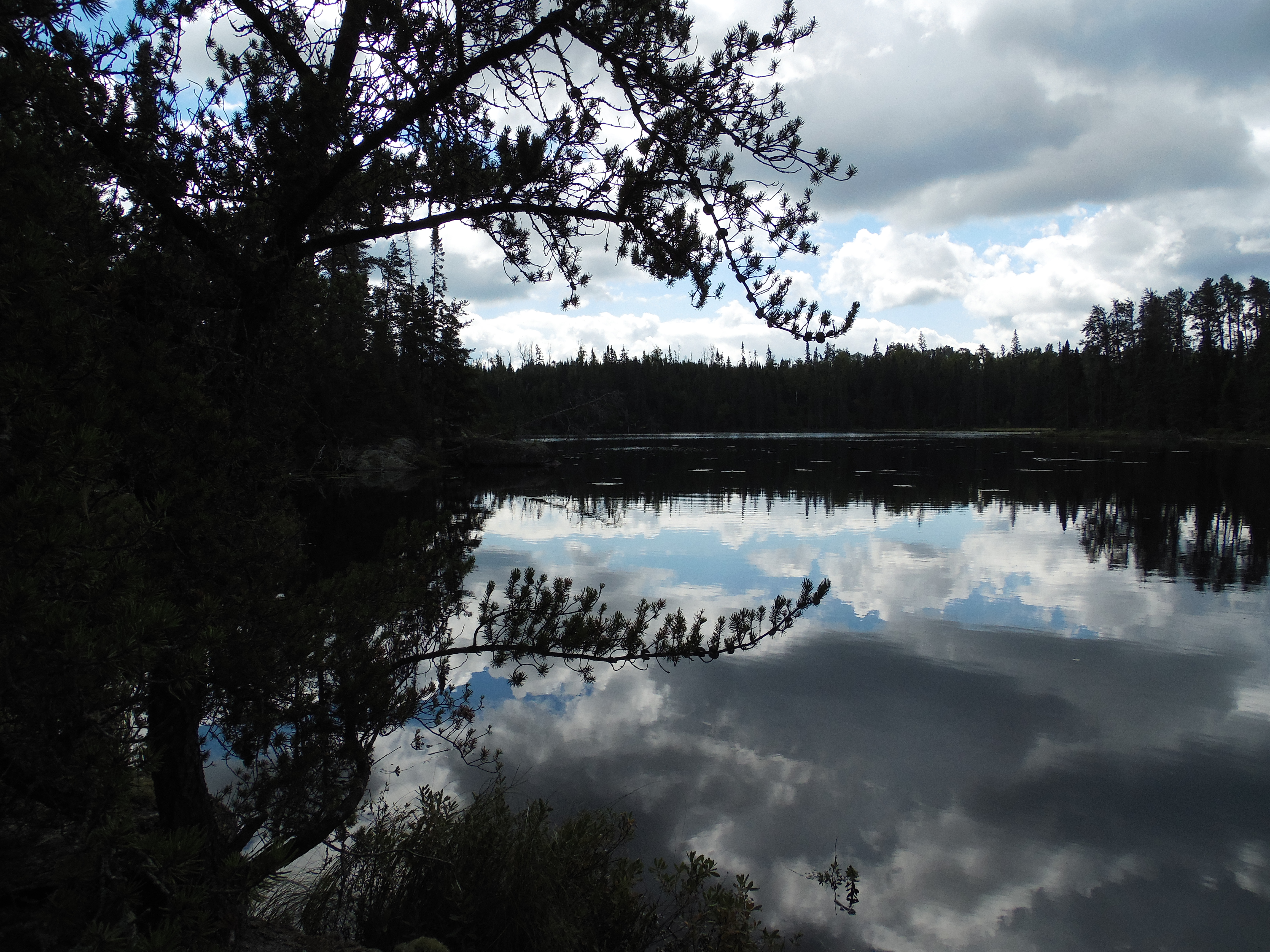
Panoramic photo taken from the southeast side of the lake.
Paddling across the unnamed lake. This paddle begins at the Cross Bay Lake bushwhack, which is found near the point where the creek flows out of the lake. This is at the northern point of the lake. On a direct line, paddling to the southeast to the mouth of the creek that drains both Fool Lake and Lucky Pay Lake.
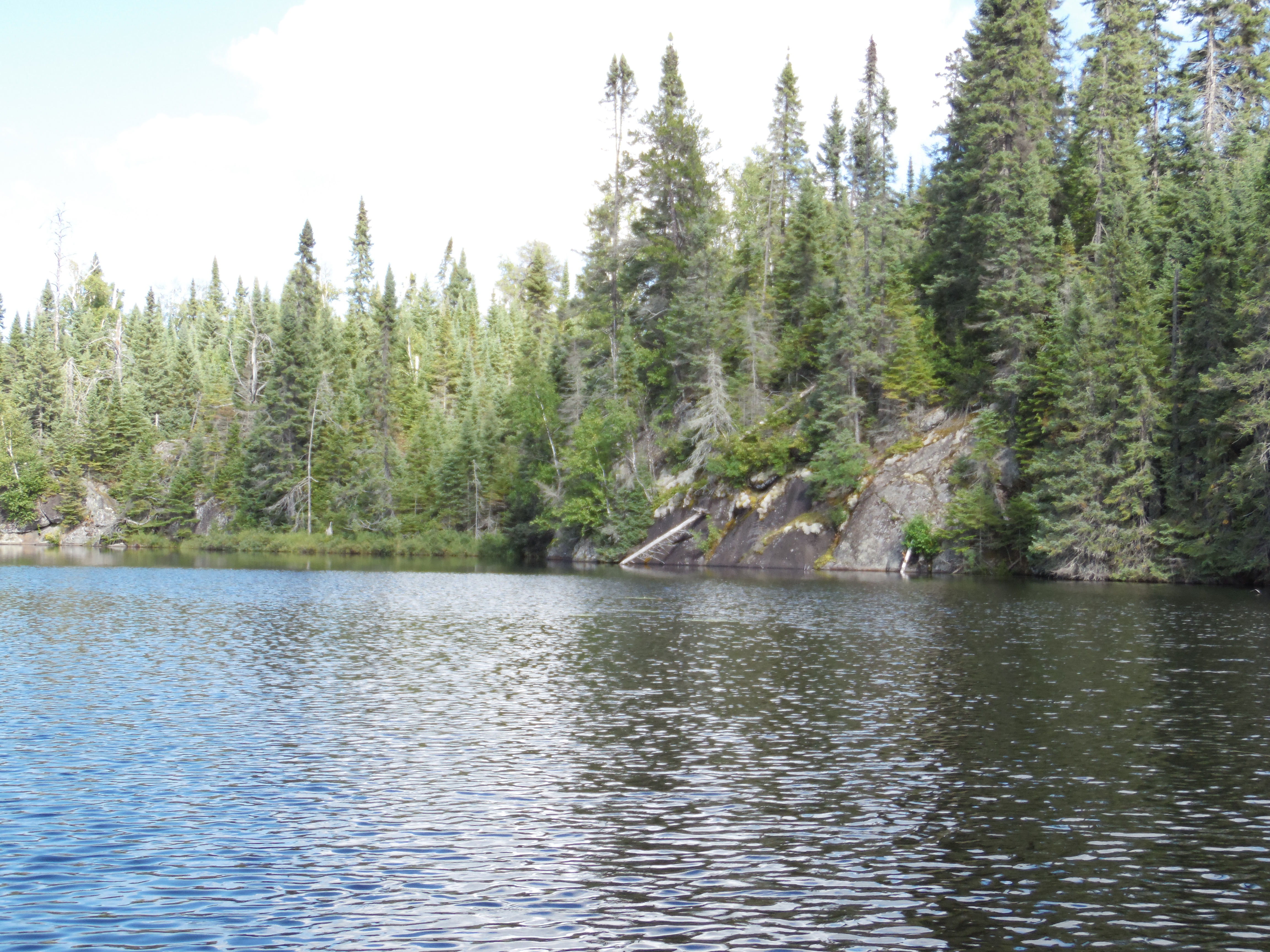
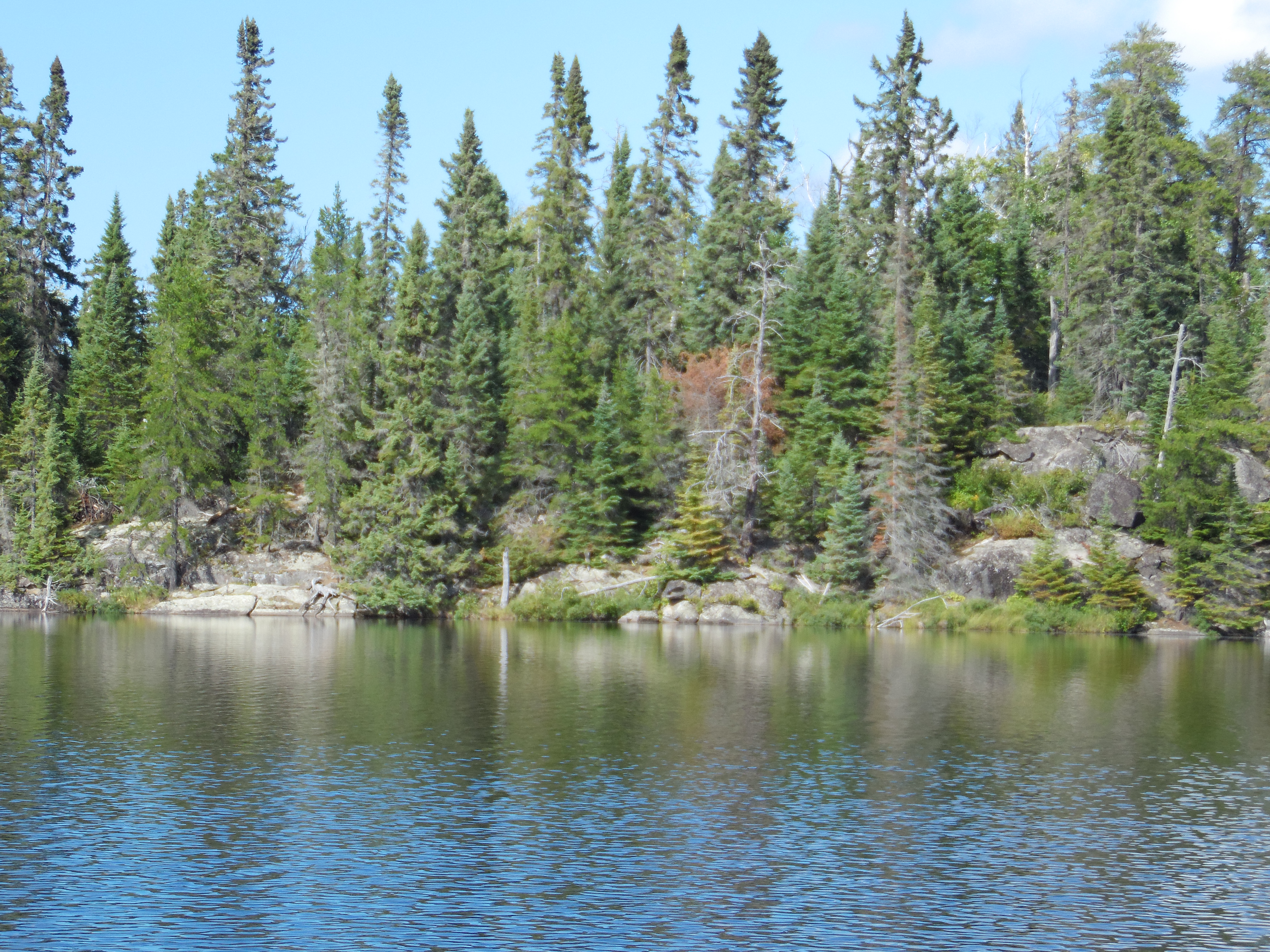
Looking toward the east corner of the lake. The rock ledges extend up the northeast shoreline of the lake.
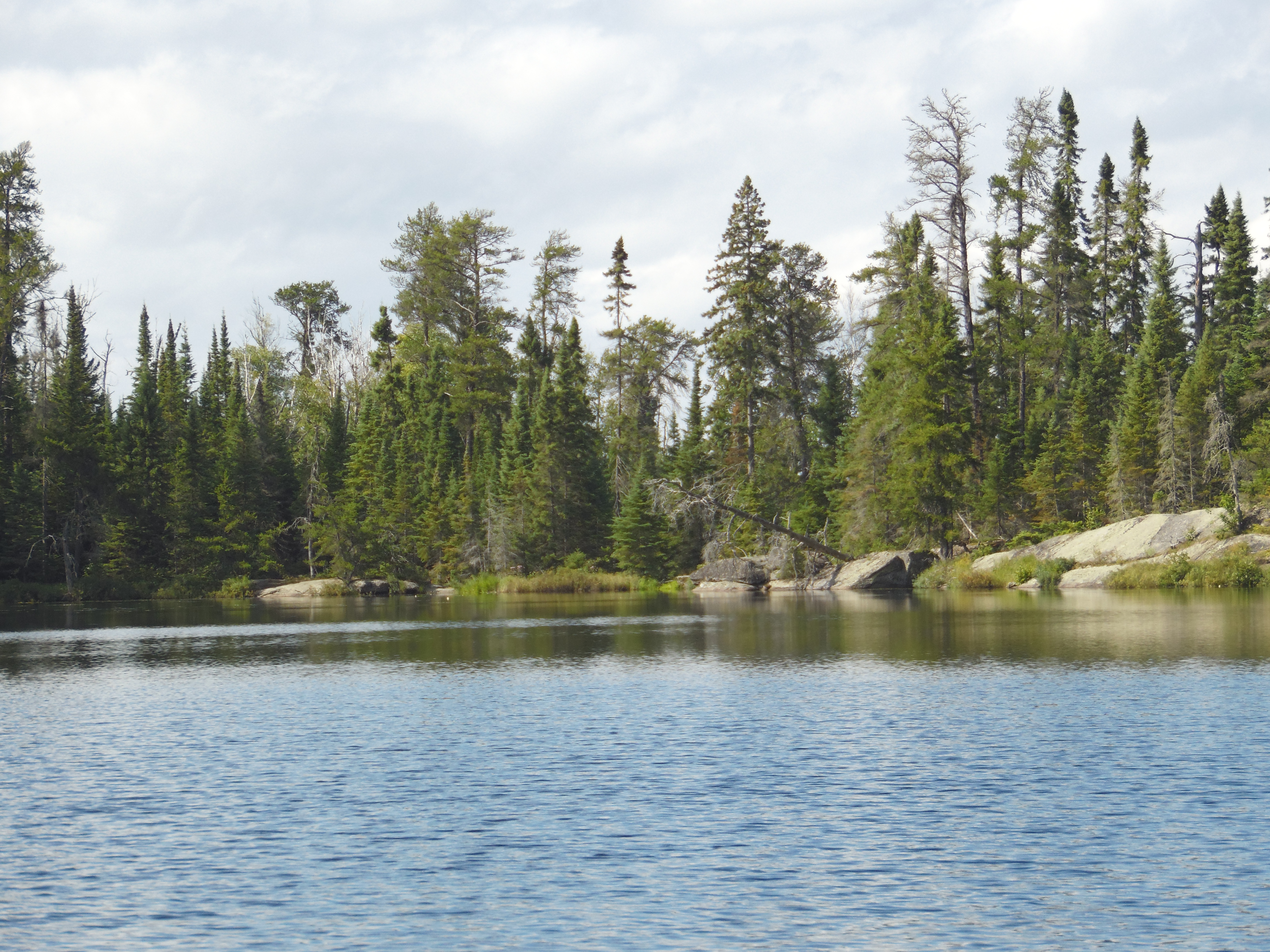
Rock outcrops along the south shoreline.
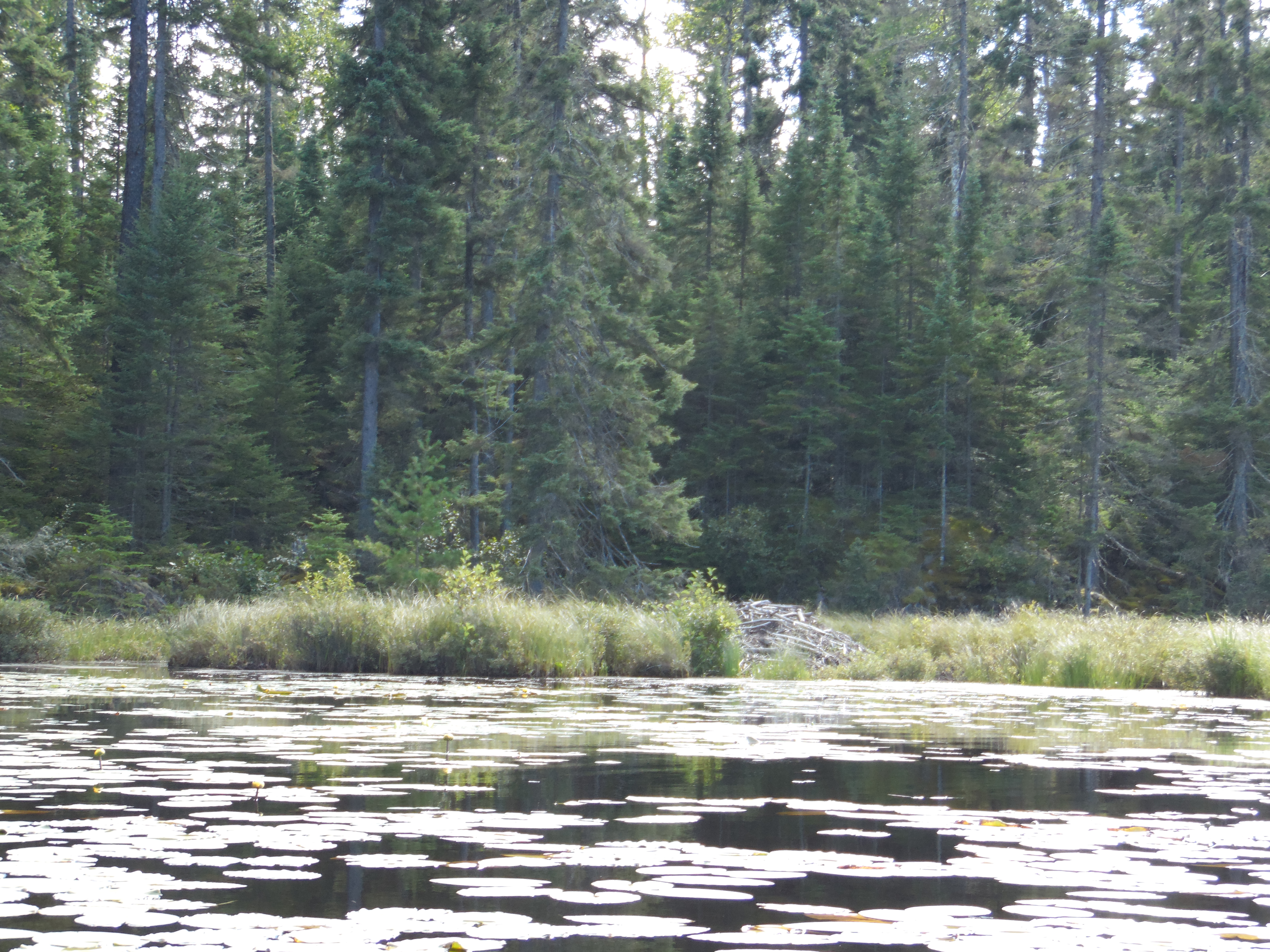
A beaver lodge near the southern most point of the lake. There are several lodges on this lake.
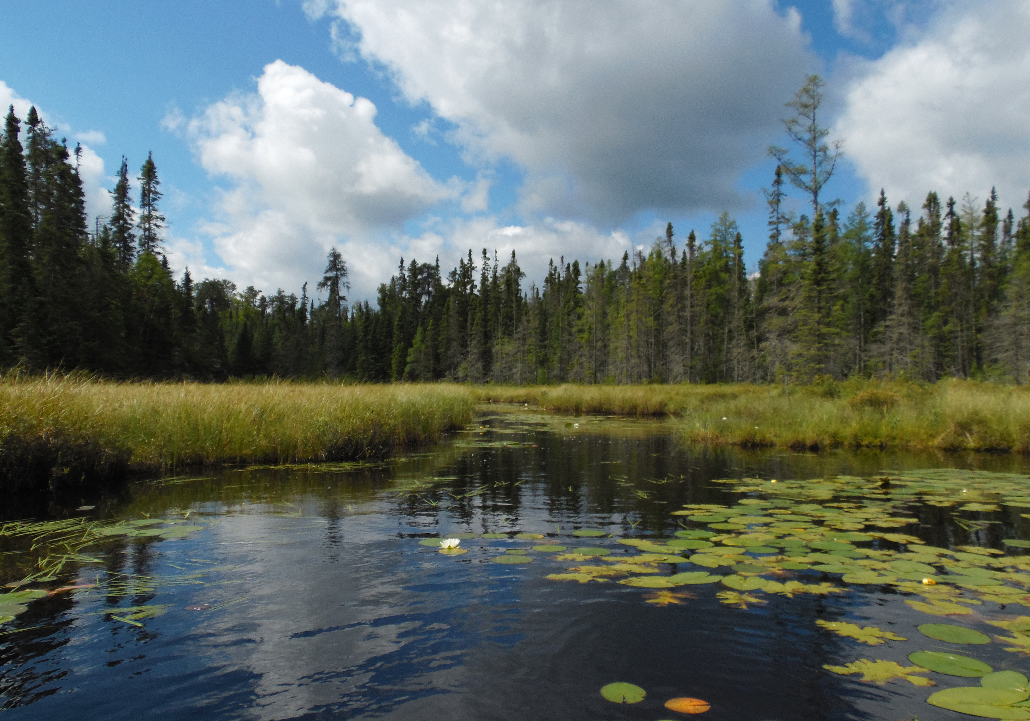
Mouth of creek that drains both Fool Lake and Lucky Pay Lake. Head up this creek to reach the bushwhack trails to these two lakes. ***********************************************END OF ROUTE***********************************************
PADDLING FROM THE FOOL LAKE BUSHWHACK TO THE CROSS BAY LAKE BUSHWHACK
View of the creek, the cliff and in the distance, the unnamed lake. You are standing at the start of the bushwhack to Fool Lake. The beaver run just beyond the canoe creates a water path through the bog over to that cliff. It has enough water to paddle. From the cliff, going left, the creek will open up and bring you to the unnamed lake. If you go right (about 200 yards), you will come to the little rapids marking the start of the bushwhack to Lucky Pay Lake.
Paddling from the start of the Fool Lake bushwhack, down a small creek and then out into the waters of the unnamed lake. Continuing paddling across the lake until arriving at the top of the waterfall near a beaver dam. This is the start of the bushwhack that proceeds downhill to Cross Bay Lake.
Northeast shoreline.
Ledge rock along northeast shoreline. This is just south down the shoreline from the waterfall and beaver dam, which are found at the north tip of the lake.
A look at the north end of the lake. This is where the bushwhack to Cross Bay Lake is located. The bushwhack starts along that grassy section of shoreline, just left of the center of your view.
The lake in early evening. This is a view from the start of the bushwhack leading back to Cross Bay Lake.
Looking down the northeast shoreline from near the beaver dam and creek that flows back to Cross Bay Lake. ***********************************************END OF ROUTE***********************************************