SAWBILL LAKE CAMPSITES: Campsite 1: (#915) - Campsite nearest to the Ada Creek portage Campsite 2: (#2052) - Campsite on point due east of the Alton Lake portage Campsite 3: (#2053) - Just northeast of the Alton Lake portage Campsite 4: (#914) - Just north of the Smoke Lake portage Campsite 5: (#2312) - About a mile north of the Smoke Lake portage on eastern shoreline Campsite 6: (#915) - Just down the shoreline from the Ada Creek portage Campsite 7: (#917) - Back of the northwest bay of Sawbill Lake Campsite 8: (#877) - Just north of the mouth of Java Creek along west shoreline
Campsite 9: (#913) - On east shoreline, almost directly across lake from mouth of Java Creek
Campsite 10: (#911) - Third campsite south of the Ada Creek portage on east side of lake
Campsite 11: (#912) - Second campsite south of the Ada Creek portage on east side of the lake
Campsite 12: (#916) - Located on the island in the north end of the lake
Campsite 13: (#875) - In west bay of the lake directly across from the Kelso River portage
Campsite 14: (#876) - North end of the west bay in which the Kelso River portage is located
Sawbill Lake is most likely named for a species of duck; in particular the merganser species.
Sawbill Lake is located at the end of the Sawbill Trail. BWCA Entry Point 38 is found on the lakes south end along the east shoreline. Also found here are the Sawbill Canoe Outfitters and the Sawbill Lake Campground. Sawbill Canoe Outfitters includes a nice lodge and an outfitting company. It is located right on the lake so is a nice place to stay and outfit from since it allows you to get an early start into the BWCA. There is an excellent book about this history of this area entitled "Sawbill: History and Tales" by Mary Alice Hansen. It is a nice place to stay even if you are not doing a BWCA trip. If you don't want to stay at the lodge, you can stay at the Sawbill Lake Campground which is run by the National Forest Service.
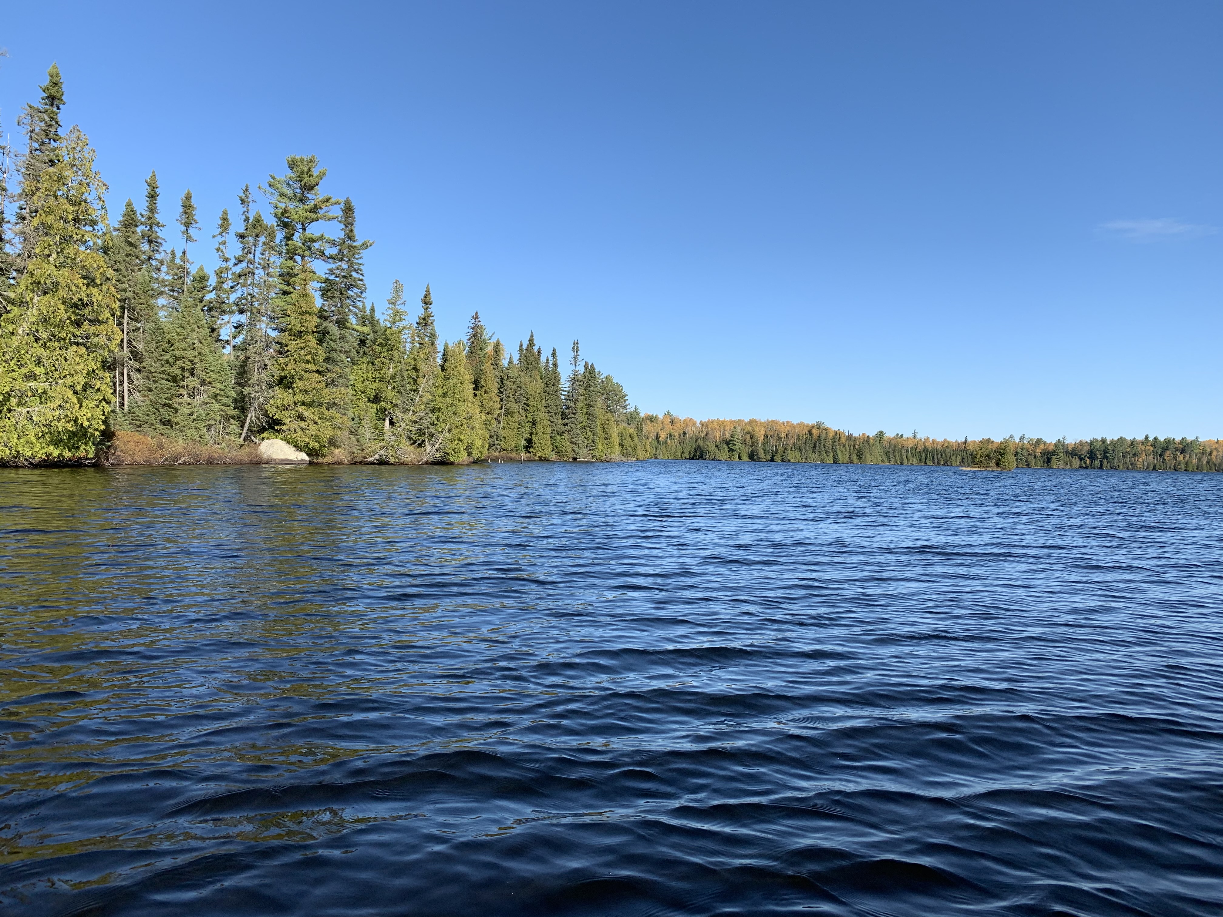
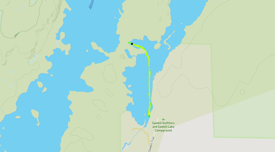
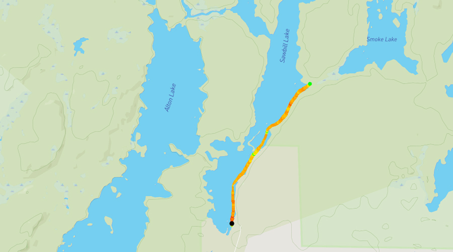
Sawbill Lake offers four different routes. The route from the north tip of the lake is into Ada Creek. This route leads up to Cherokee Lake and Long Island Lake beyond. There are two portages on the west side of the lake. The nearest to the entry point is the one to Alton Lake which is 30 rods long. This is a flat and wide portage that used to support a narrow gauge railroad that was used in the logging period. Alton Lake is a similarly large and long lake like Sawbill Lake. Further up the western shoreline is a short 13 rod portage leading into the Kelso River. You will be paddling upstream to Kelso Lake from here. Finally the east shore of the lake has a portage of 100 rods to Smoke Lake. This portage is well trodden and easy for its length.
Smallmouth bass are plentiful in this lake.
Sawbill Lake collects water from four primary sources: Kelso River, Ada Creek, Java Creek and an unnamed creek from Smoke Lake. Sawbill Lake drains out to the south through Sawbill Creek. Sawbill Creek is a tributary of the Temperance River. The Temperance River eventually flows spectacularly into Lake Superior in Temperance River State Park along the North Shore.
Paddlers through Sawbill Lake will notice the short height of the trees. This area was logged fairly recently (1960's). The logging operation in this area was known as the West Tofte Company (Heinselman, 1999). It was sold to St. Regis Paper Company in 1959.
Click on the photos below to see the full resolution image - Use your browsers back button to close photo and return to this page.
PADDLING FROM BWCA ENTRY POINT 38 TO THE ALTON LAKE PORTAGE
Western shoreline of Sawbill Lake in the southern end of the lake.
From the dock at BWCA Entry Point 38, paddle along the west shore of Sawbill Lake until reaching the portage to Alton Lake.
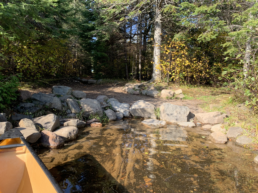
Portage landing leading to Alton Lake. This portage is located at the back of the bay. Portage to Alton Lake -or- Explore Another Route ***********************************************END OF ROUTE***********************************************
PADDLING FROM ALTON LAKE PORTAGE TO BWCA ENTRY POINT 38
Head generally southeast from the Alton Lake portage to BWCA Entry Point 38 landing. Besides the entry point, both the Sawbill Lake Campground and the Sawbill Canoe Outfitters are also located here.
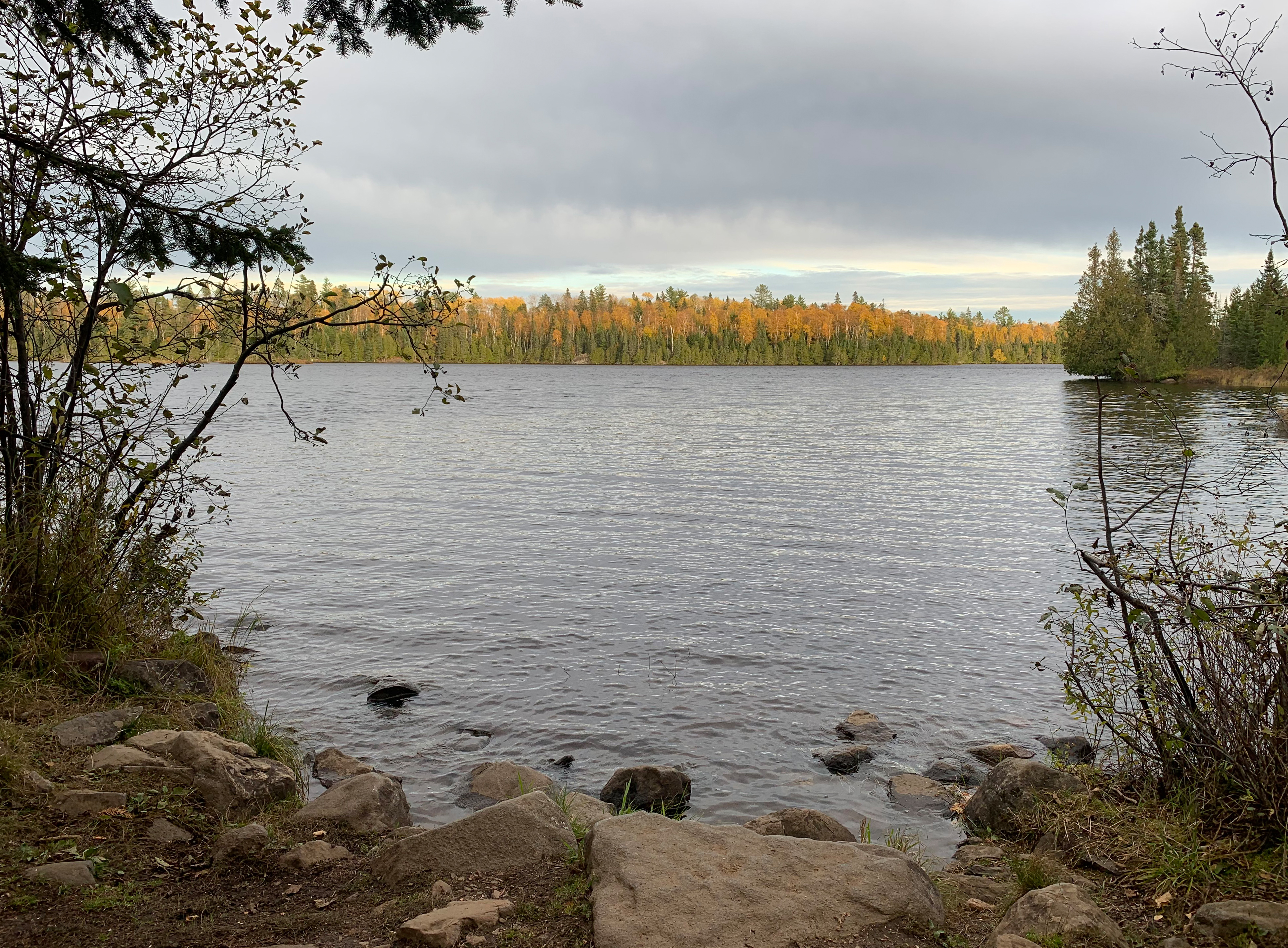
This is the same paddling route as the video above, but with a rainbow overhead.
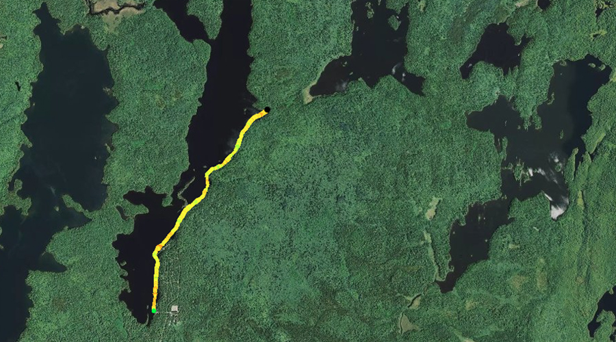
PADDLING FROM THE KELSO RIVER PORTAGE TO BWCA ENTRY POINT 38
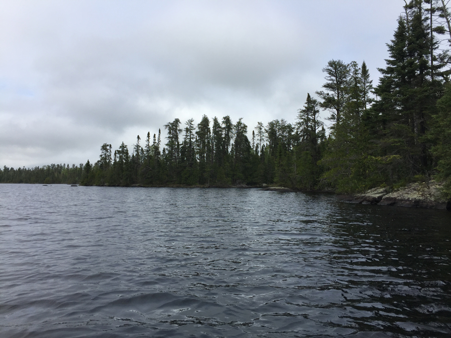
View toward the east of Sawbill Lake from the Kelso River portage.
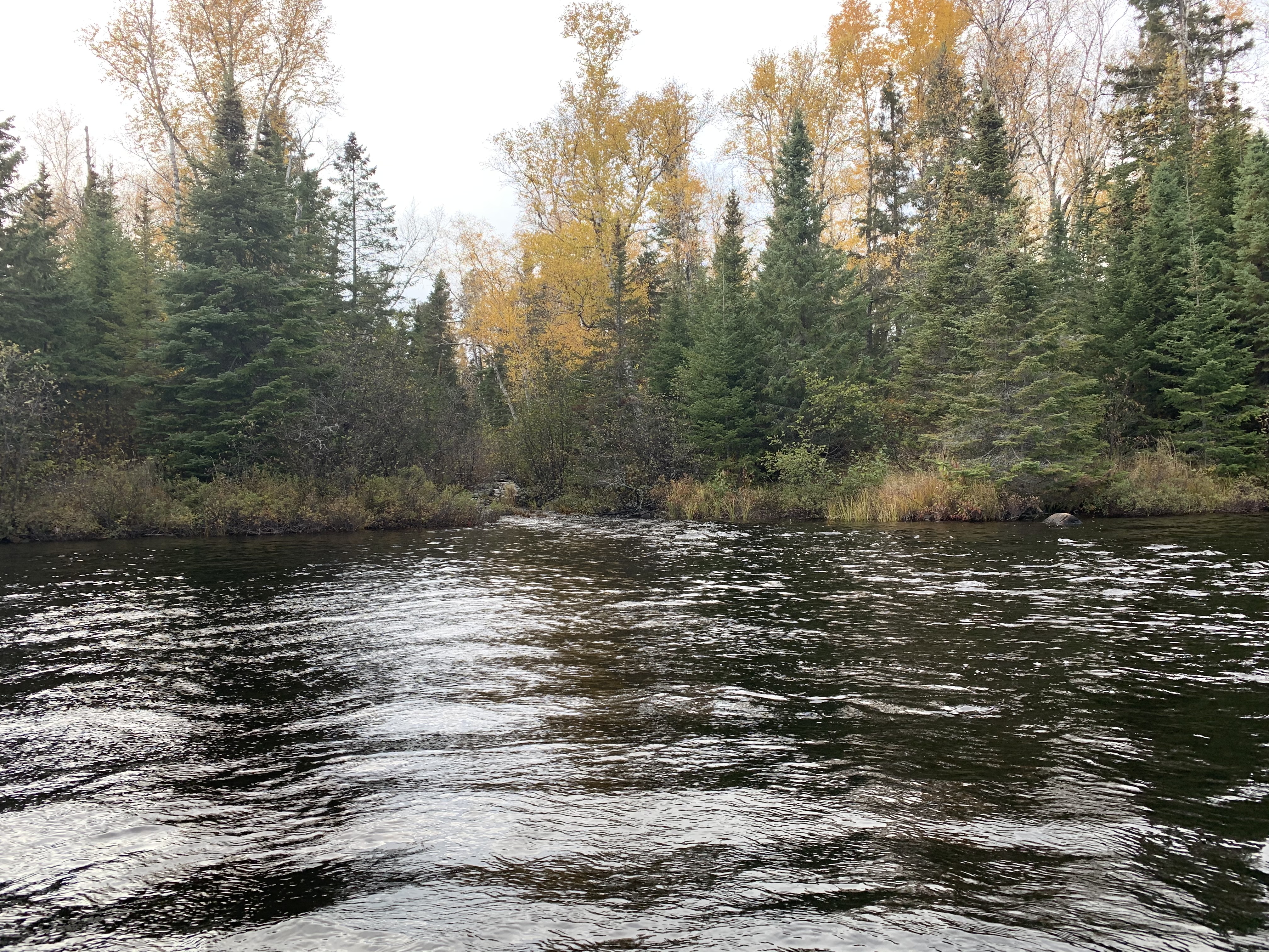
The mouth of the Kelso River where it flows into Sawbill Lake. The portage from Sawbill Lake to the Kelso River is just to your left out of view.
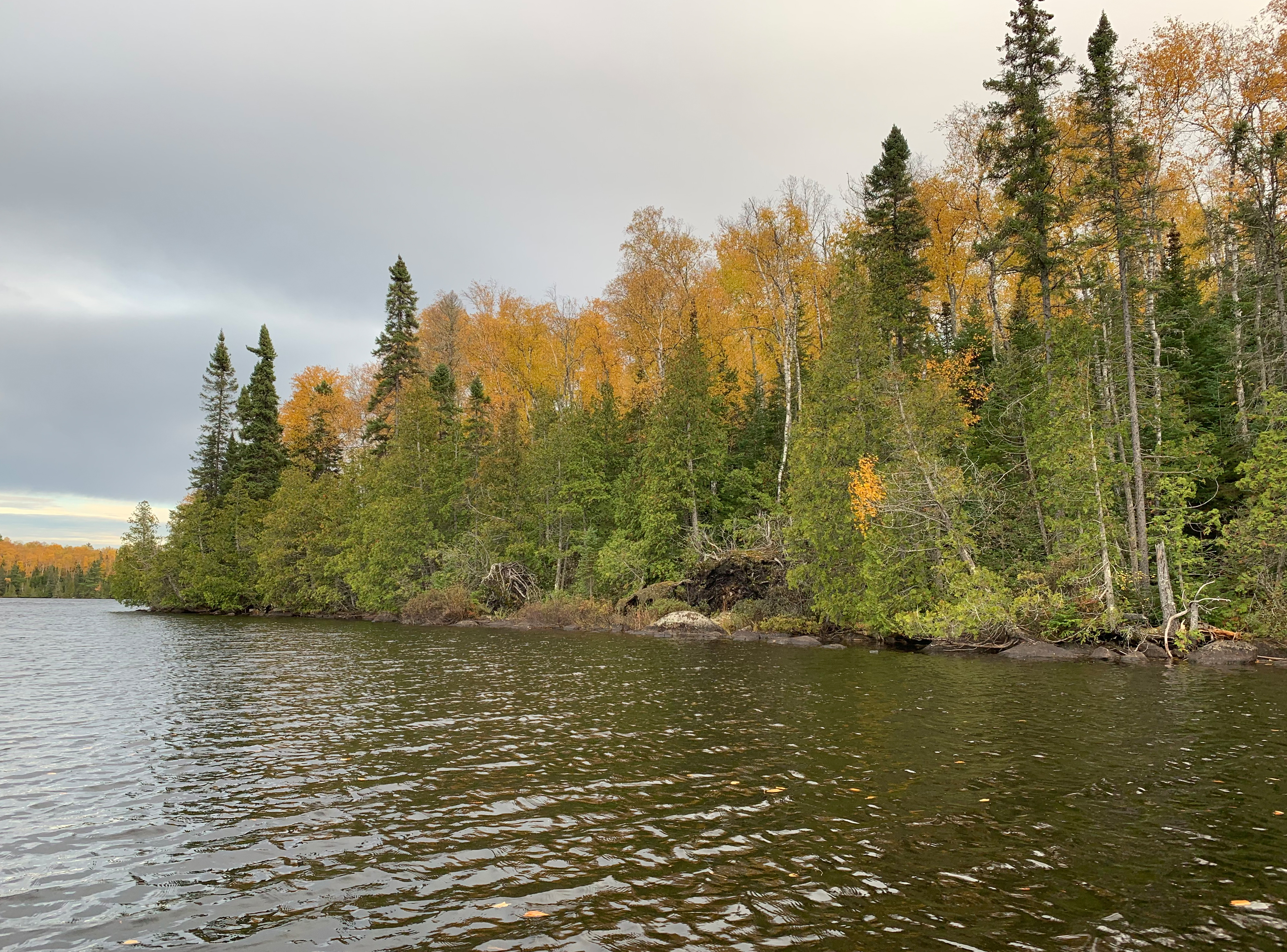
The point created where the small bay where the Kelso River portage is located meets the main part of Sawbill Lake.
A fairly long paddle from the Kelso River portage to BWCA Entry Point 38.
View to the southeast of the east shore of Sawbill Lake. To the far right in the distance you can just make out a large private dock. This view is just south of the boundary line for the BWCA. North of the line is the Boundary Waters. The BWCA Entry Point 38 landing dock is another half mile or so south of that distant dock you can just see here. Explore BWCA Entry Point 38 -or- Explore Another Route ***********************************************END OF ROUTE***********************************************
PADDLING FROM BWCA ENTRY POINT 38 TO THE SMOKE LAKE PORTAGE
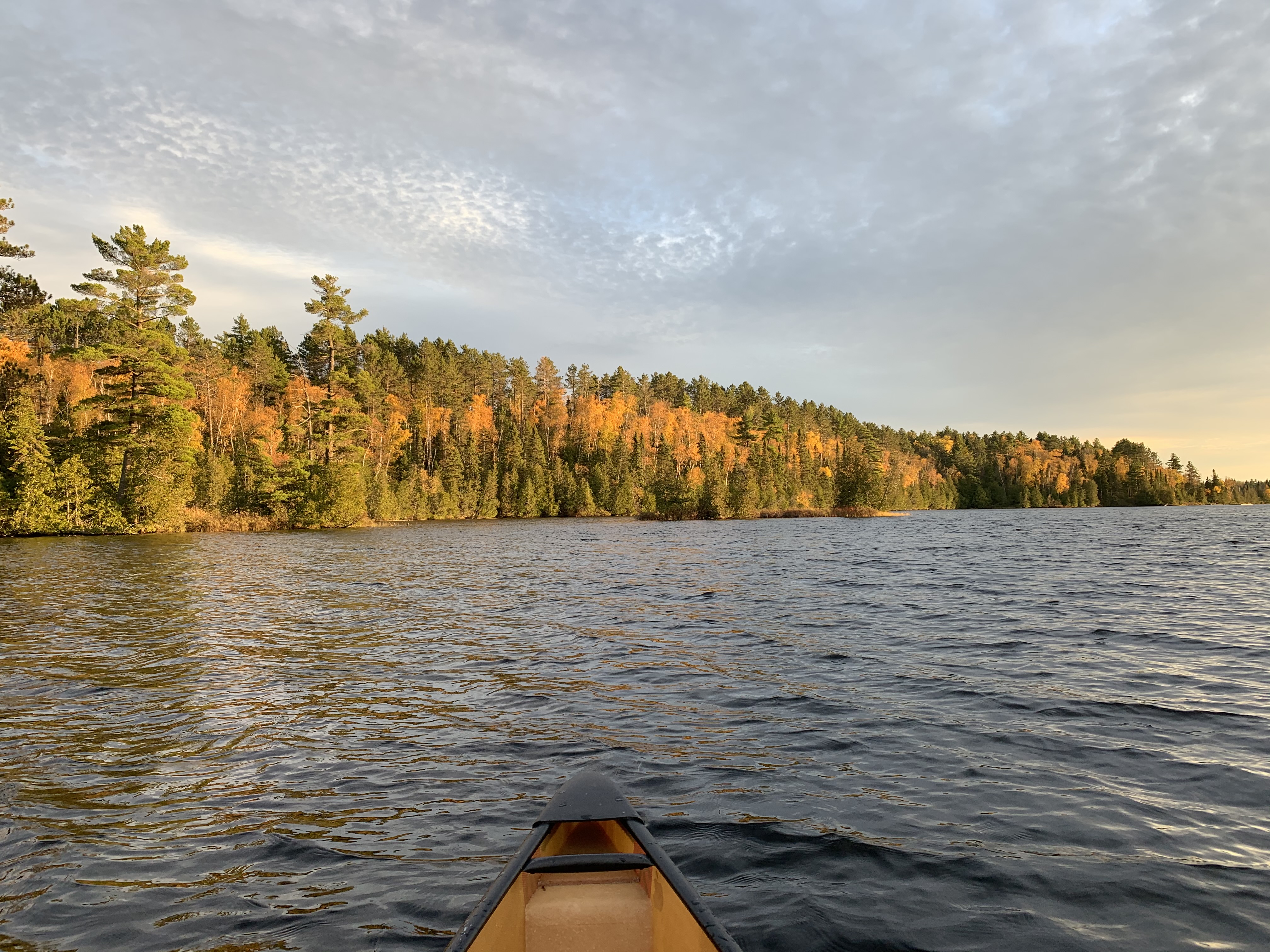
A shore ways up the eastern shoreline from BWCA Entry Point 38. The view is to the south.
After leaving the dock, paddle north along the east shore of Sawbill Lake to the Smoke Lake portage (July 1, 2023).
Older video footage of this part of Sawbill Lake.
Looking south from the shore of the small island where the BWCA boundary sign is posted. This is where you "officially" enter into the BWCA.
View to the north from the BWCA boundary marker. This sign is located on a small island about a half-mile north of the entry point landing. Portage to Smoke Lake -or- Explore Another Route ***********************************************END OF ROUTE***********************************************
PADDLING FROM THE SMOKE LAKE PORTAGE TO BWCA CAMPSITE 914
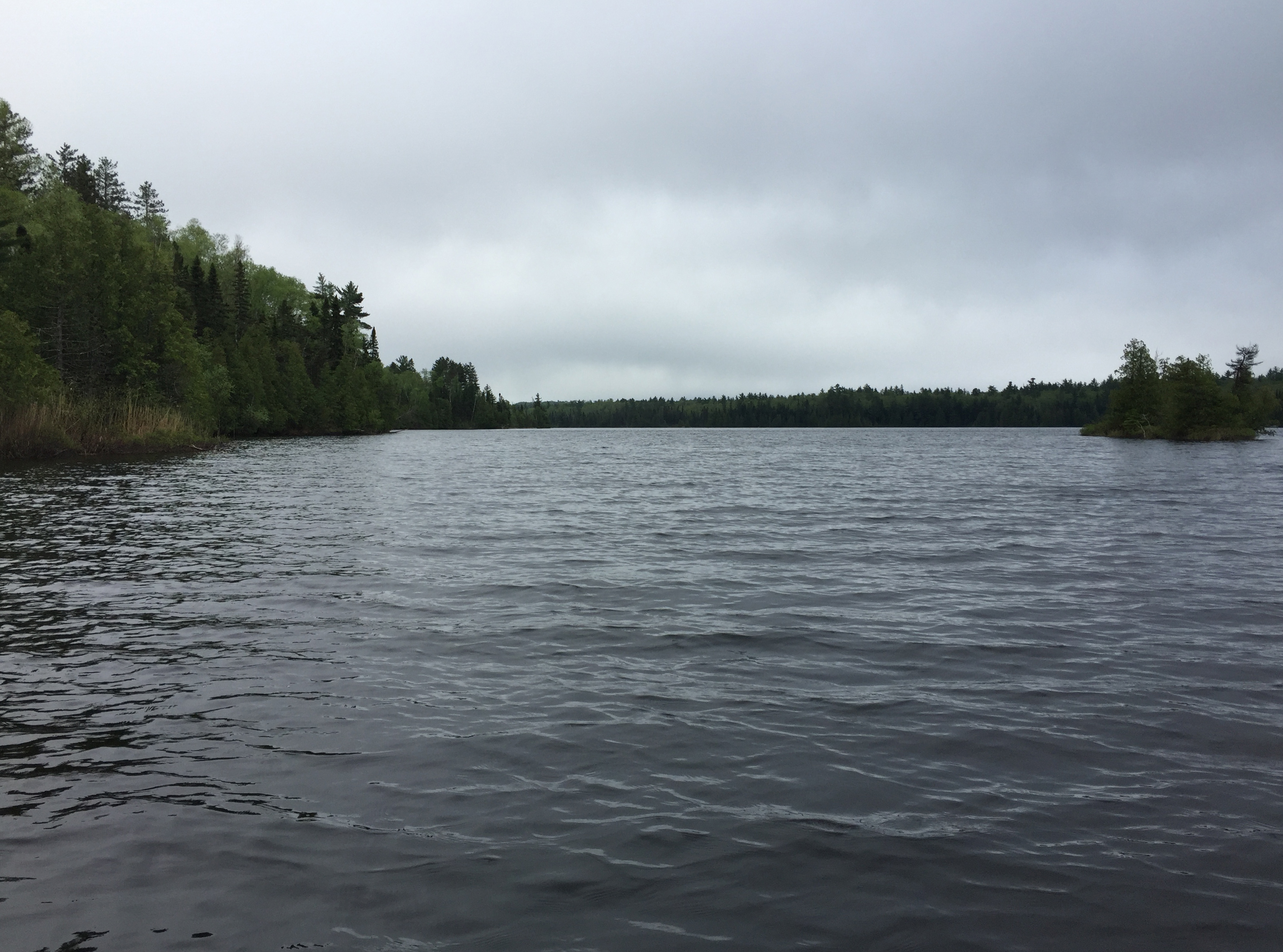
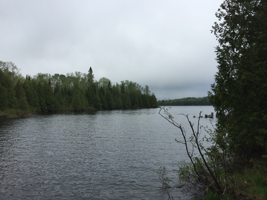
Sawbill Lake does not have large cliffs lining its shoreline. It is a relatively shallow lake as evidenced here by the boulders sticking out of the middle of the lake up ahead. Most of the forest along Sawbill Lake is relatively new, so trees are not that tall.
The campsite is just around the corner to the north from the Smoke Lake portage (July 1, 2023).
The east shoreline near the campsite located by the Ada Creek portage. View is toward the north. Explore the Campsite -or- Explore Another Route ***********************************************END OF ROUTE***********************************************
PADDLING FROM BWCA CAMPSITE 914 TO BWCA CAMPSITE 2312
Traveling up the eastern shoreline of Sawbill Lake to the next campsite, which is set back in a small bay (July 1, 2023). Explore the Campsite -or- Explore Another Route ***********************************************END OF ROUTE***********************************************
PADDLING FROM BWCA CAMPSITE 2312 TO BWCA CAMPSITE 915
Paddling up the eastern shoreline. Round the point and head northeast behind the island near BWCA Campsite 912. Then continue up the east shoreline to the campsite, which is just east of the Ada Creek portage (July 1, 2023). Explore the Campsite -or- Explore Another Route ***********************************************END OF ROUTE***********************************************
PADDLING FROM BWCA CAMPSITE 915 TO THE ADA CREEK PORTAGE
A brief paddle from the campsite to the Ada Creek portage landing (July 1, 2023). Portage to Ada Creek -or- Explore Another Route ***********************************************END OF ROUTE***********************************************
PADDLING FROM THE ADA CREEK PORTAGE TO BWCA CAMPSITE 917
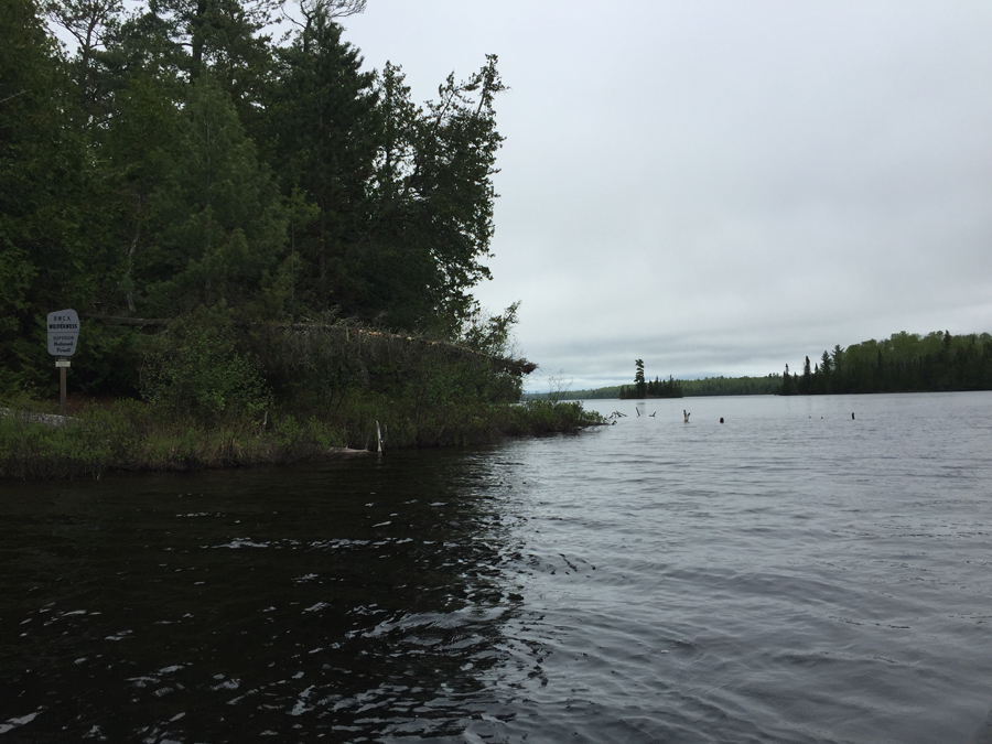
Paddle down the west shoreline of the northeast bay of Sawbill Lake after leaving the Ada Creek portage. Travel around the large island to the south. This island is the location of BWCA Campsite 916. Continue past the island to the northwest and arrive at BWCA Campsite 917, which is located in the north end of the western bay. An unnamed creek flows into the lake here. (July 1, 2023). Explore the Campsite -or- Explore Another Route ***********************************************END OF ROUTE***********************************************
PADDLING FROM BWCA CAMPSITE 917 TO BWCA CAMPSITE 877
Get in your boat and paddle a short distance to the south down the western shoreline of Sawbill Lake to the next campsite. (July 1, 2023). Explore the Campsite -or- Explore Another Route ***********************************************END OF ROUTE***********************************************
PADDLING FROM BWCA CAMPSITE 877 TO THE MOUTH OF JAVA CREEK
It is a short journey southward to the mouth of Java Creek from the campsite. Sometimes the mouth of the creek is clear, other times it is obstructed with downed trees and brush. There is usually a beaver dam present at the mouth of the creek. (July 1, 2023). Paddle Java Creek -or- Explore Another Route ***********************************************END OF ROUTE***********************************************
PADDLING FROM THE MOUTH OF JAVA CREEK TO THE KELSO RIVER PORTAGE
Paddle out of the creek and turn right, heading south down the west shore of Sawbill Lake. Turn west into the large bay and make for the center of the bays western shoreline. Here you find the portage to the Kelso River. Depending on the season and/or the amount of rainfall, there may be a rush of water flowing in next to the portage. This is the mouth of the Kelso River (July 1, 2023). Portage to the Kelso River -or- Explore Another Route ***********************************************END OF ROUTE***********************************************
PADDLING FROM THE SMOKE LAKE PORTAGE TO BWCA ENTRY POINT 38
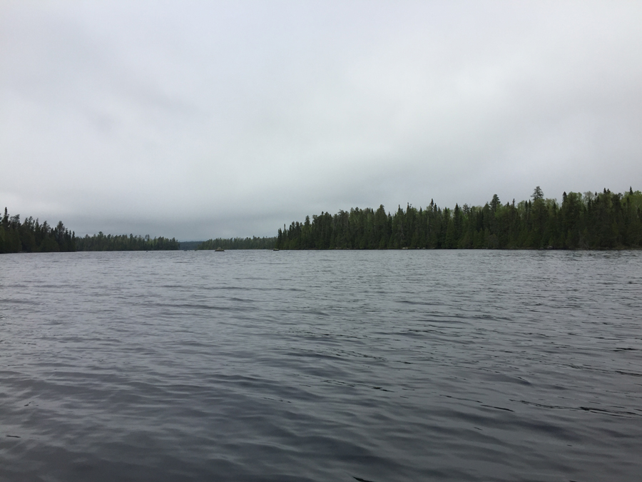
Paddling southward and staying with the east shoreline of Sawbill Lake, as you travel from the Smoke Lake portage to the BWCA Entry Point 38 canoe landing. Late afternoon/early evening.