When I was here visiting Spinnan Lake, I actually thought I was on Holiday Lake the whole time. I had entered my GPS coordinates for Holiday in the Spinnan location and the Spinnan coordinates in the Holiday spot. So, while I was hoping to also visit Holiday Lake this day, I could not find it (although I thought I was looking for Spinnan Lake at the time). Holiday Lake is probably a fairly easy bushwhack. It is through the burnt forest over the rise that separates the two lakes, along the northwest shore of Spinnan. Most difficult part of going from Spinnan Lake directly to Holiday Lake is navigating through the horizontal trees which can be dangerous because they can move when disturbed.
Both Spinnan Lake and Holiday Lake can be approached from the same creek up until where the creek splits in the marsh. However, now that I have been to Spinnan Lake, I think the easiest way to Holiday Lake is through Spinnan Lake. I could not find the small creek that maps show leading to Holiday Lake. But given how turned around I was this day, that is not surprising.
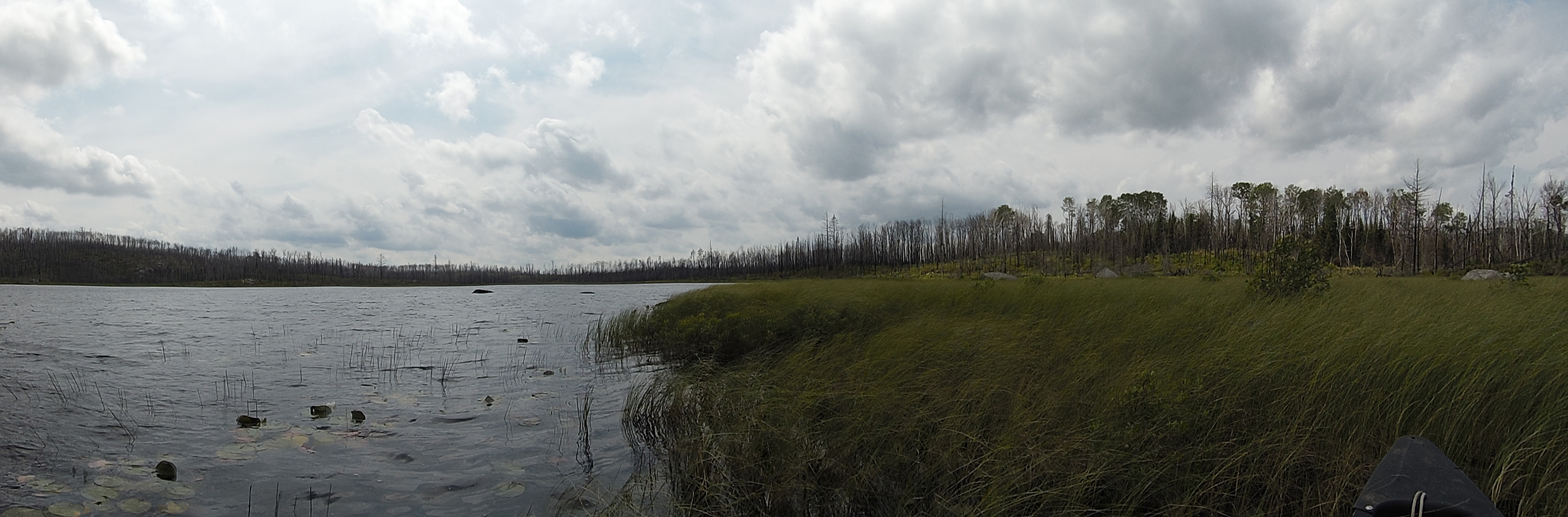
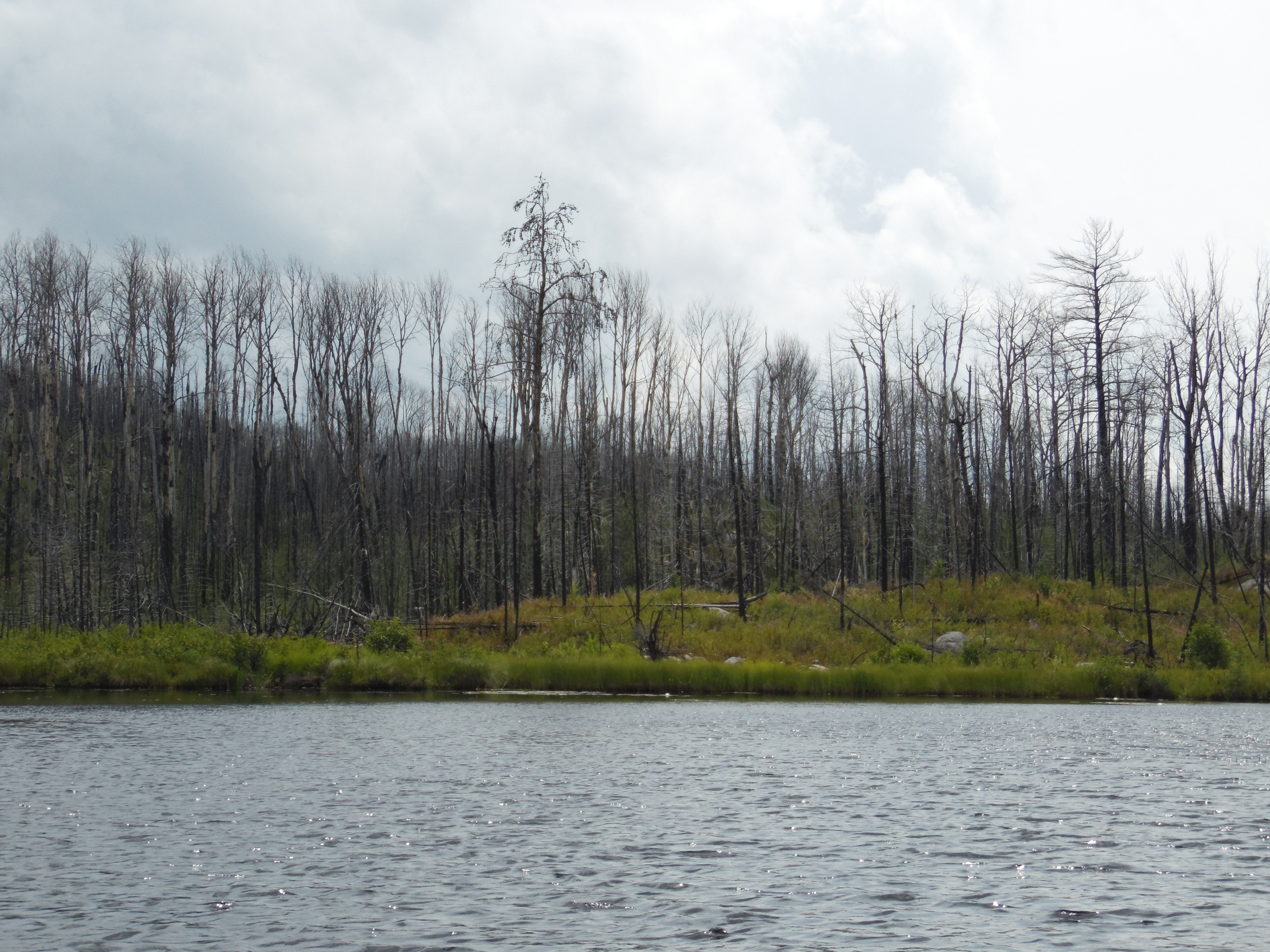
Spinnan Lake is a windswept, shallow lake that has completely lost its forest surrounds to the 2011 Pagami Creek Fire. It is actually a somewhat desolate place now; especially with the wind blowing strong across the lake.
In 1875, a fire began in the August Creek area, a notable stream that runs through this region. This fire swept along August Creek and then spread and burned the forests around Bald Eagle Lake and Clearwater Lake.
In old English dictionaries, ‘spinnan’ literally meant ‘to spin’. Be careful not to get "spun" around like I did on my first visit here.
Click on the photos below to see the full resolution image - Use your browsers back button to close photo and return to this page.
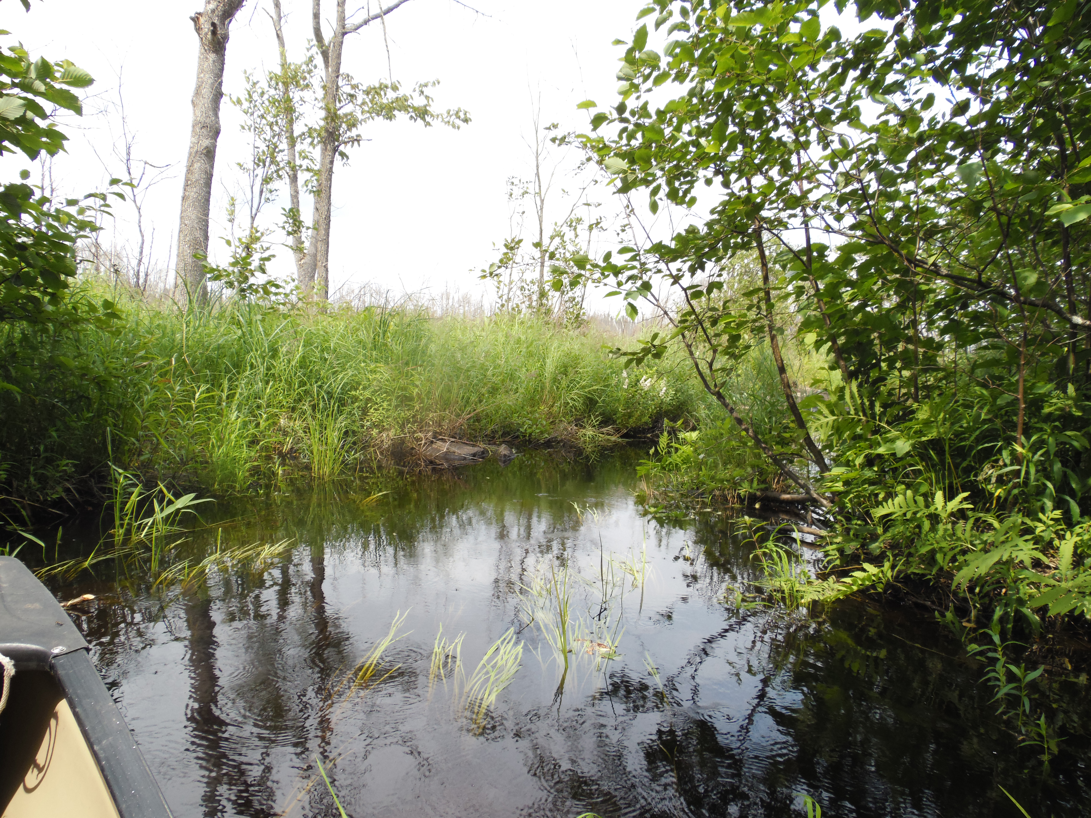
The approach to Spinnan Lake is from the southwest part of Lake Three. There is an inlet there that gradually narrows down to a creek. The creek is full of lily pads and other aquatic vegetation, but even in mid-summer it was passable. The creek splits eventually. The left branch leads to Spinnan Lake and the right branch to Holiday Lake. The branch of the creek coming from Holiday Lake was not obvious. It may be easier to see in the springtime when water levels are better and vegetation is decreased.
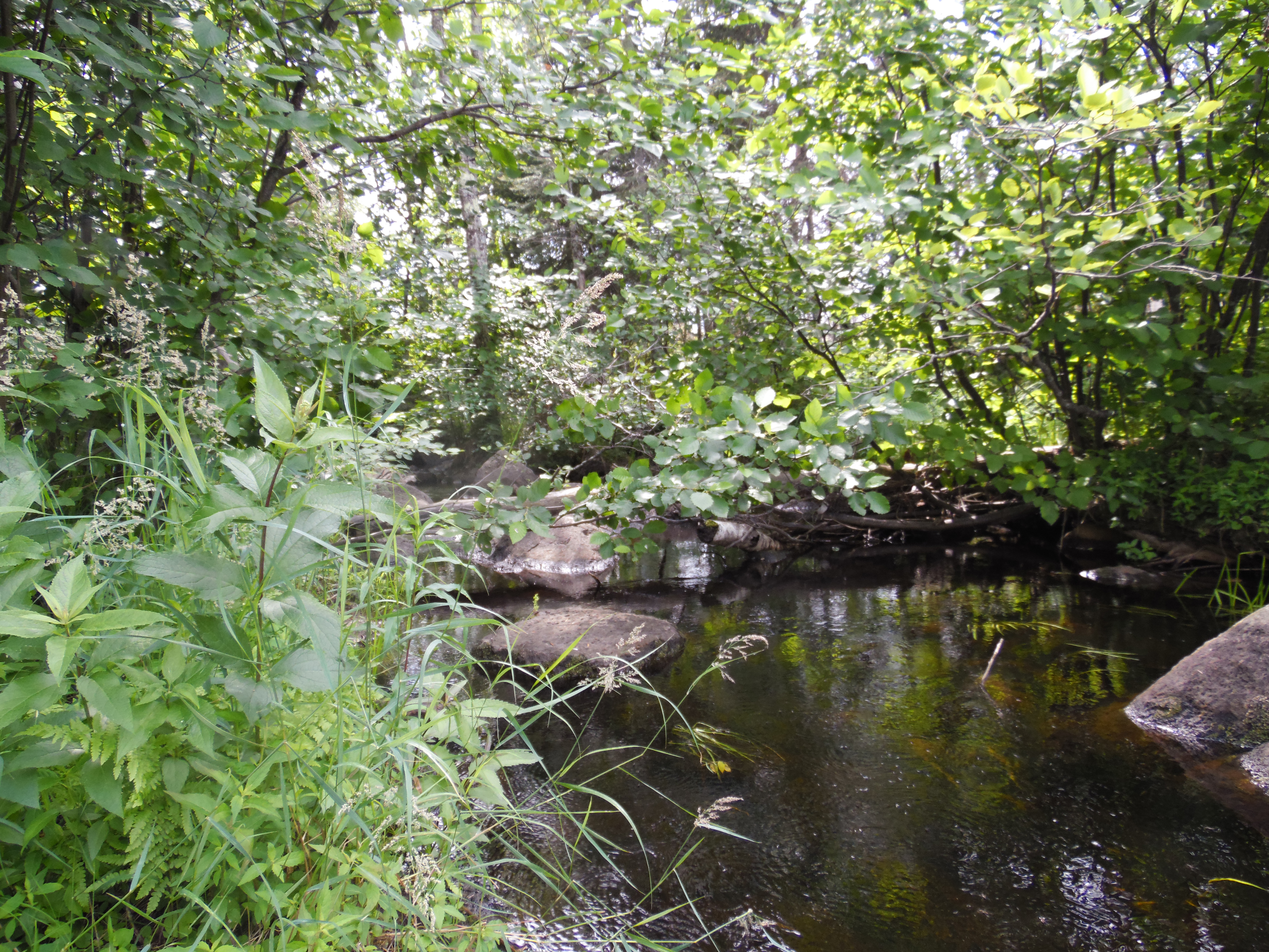
A view upstream along the creek between Lake Three and Spinnan Lake and Holiday Lake. This is downstream of where the creek splits to go to each respective lake.
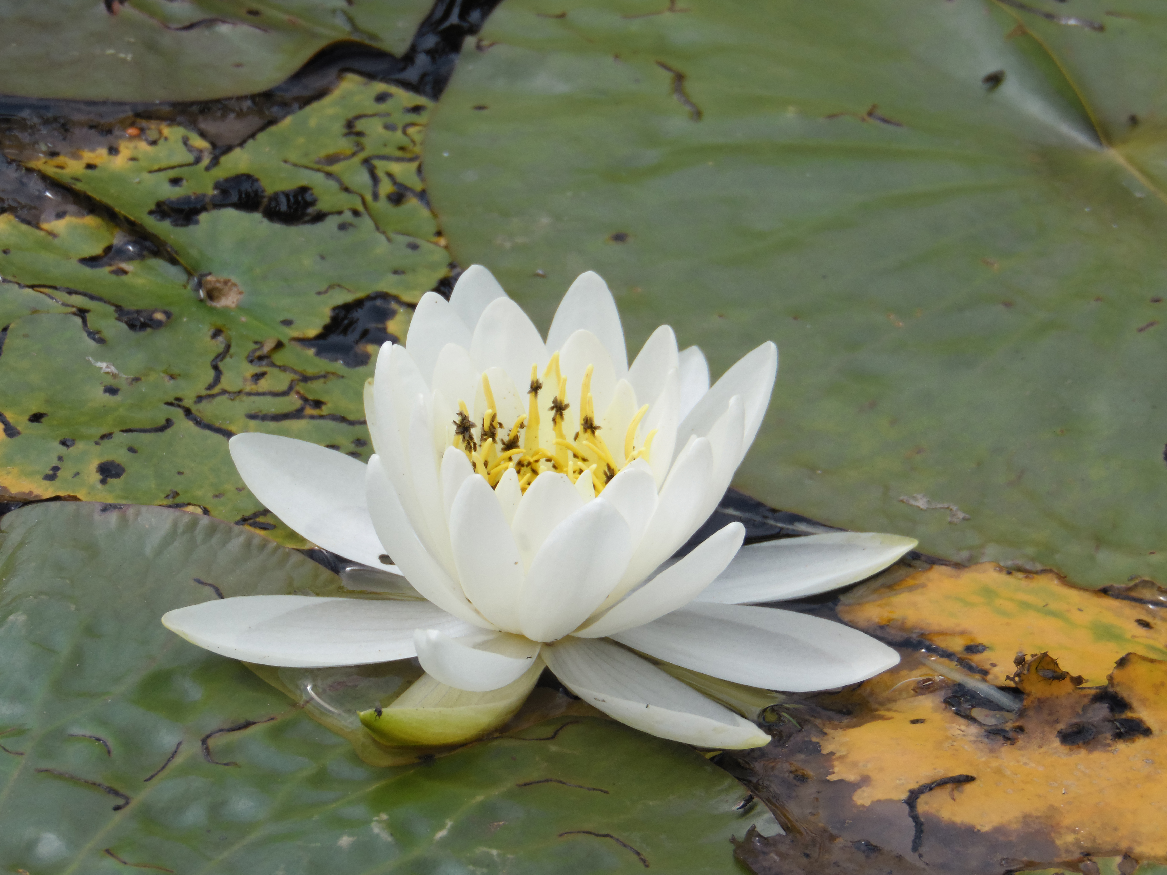
Lily pad flowers are in full bloom in mid-July.
Little grotto where the creek you paddled from Lake Three becomes unnavigable. The bushwhack to Spinnan Lake starts here. This is one of the few areas with trees. Just outside of this little pocket of living vegetation, you enter a burned out landscape.
Bushwhacking to Spinnan Lake
The creek gets narrower the farther you go upstream. Eventually it comes to a trickle of rapids. Exit your canoe on the left of the rapids. You get to start the bushwhack from here. This area was burned clean in 2011 and since that time a lot of small trees and tall grass have grown up. The grass hides all the burned logs and boulders now and this makes footing tricky. Feel along with your paddle so you don't step in a hole (which are common). The going starts out rough as you clear the little wooded area near the creek. The creek must have saved these trees from the fire. You then go through the long grass with the hidden boulders and logs. Just feel your way along as mentioned. The walking gets easier as you get closer to the lake as this area never had trees. It is too marshy apparently for them to grow. Easy place to plop the canoe in the water is where the creek flows out of the lake. There is a small inlet here..
Exploring Spinnan Lake
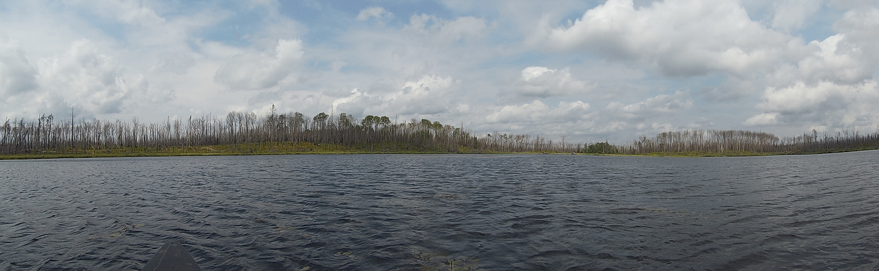
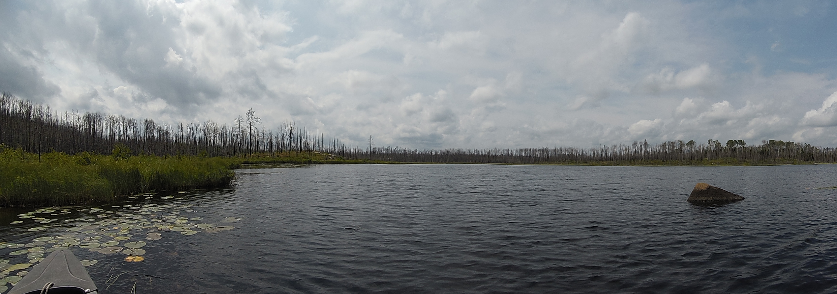
View from the small inlet where the creek leaves Spinnan Lake on its way to Lake Three. The ground is a spongy peat bog in this area. The creek flows a short distance across this open peat bog and then disappears into a small stand of unburned trees after a few hundred feet. Those trees are where you began your bushwhack. The left part of your view is the distant south shore of the lake. Toward your right is the north shore and the western shoreline of the lake.
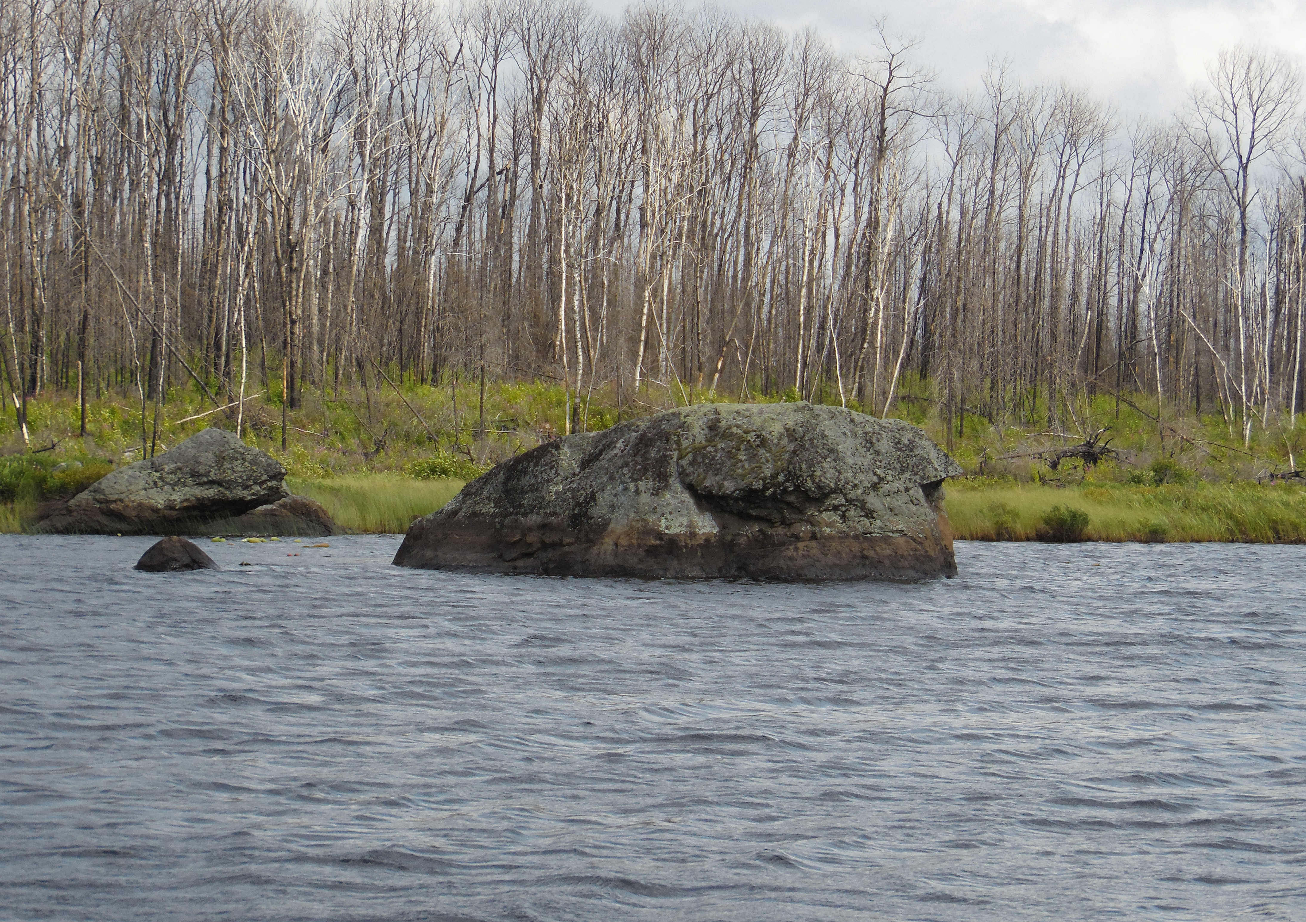
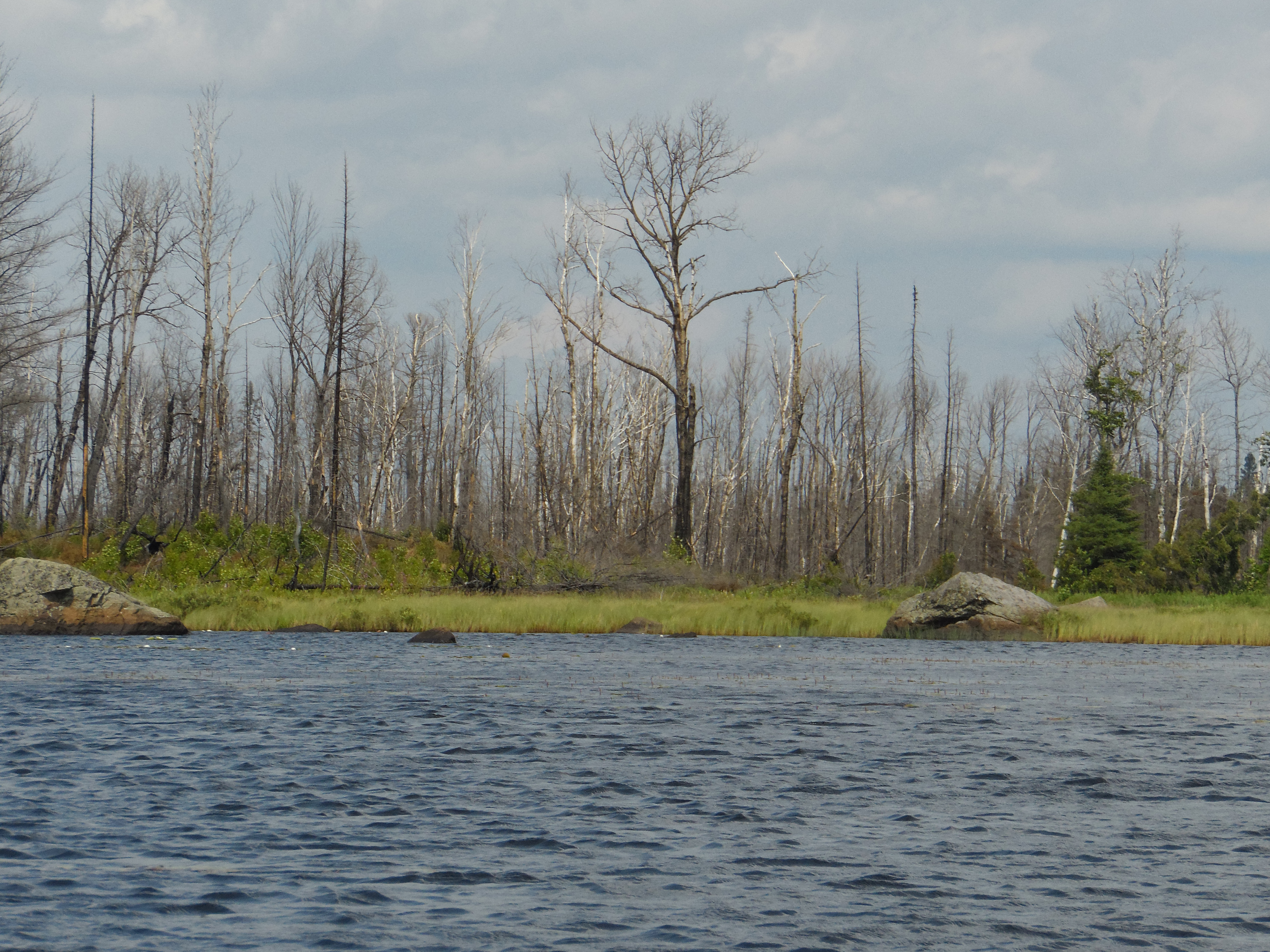
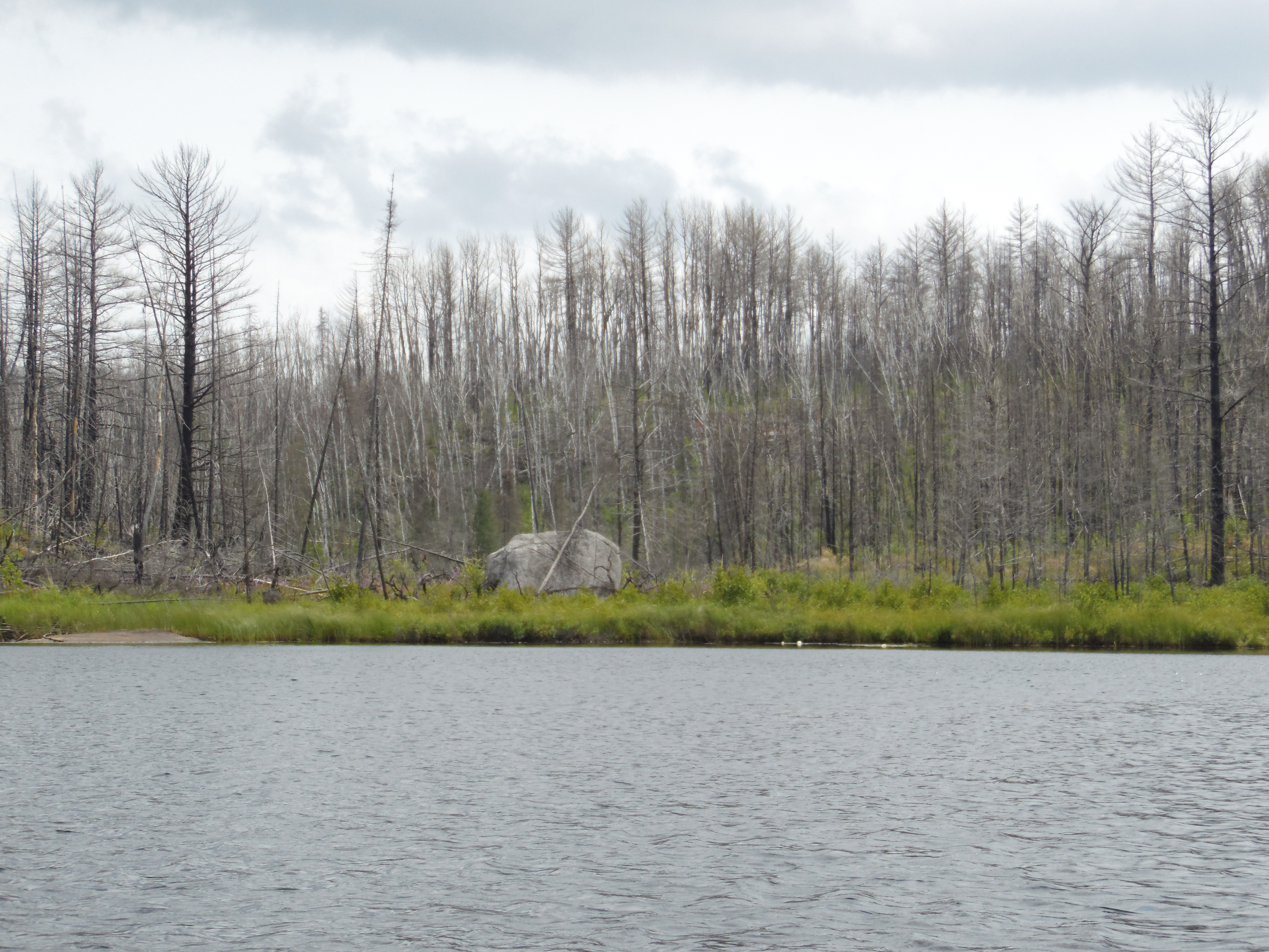
This large boulder is just to the west of the creek mouth in the north end of the lake.
Circumnavigation of Spinnan Lake in a clockwise direction beginning from the north end of the lake next to where the creek flows out.
The north end of Spinnan Lake.
The north shoreline of Spinnan Lake as view from out in the middle of the lake. The creek that you followed from Lake Three enters the lake a bit right of center.
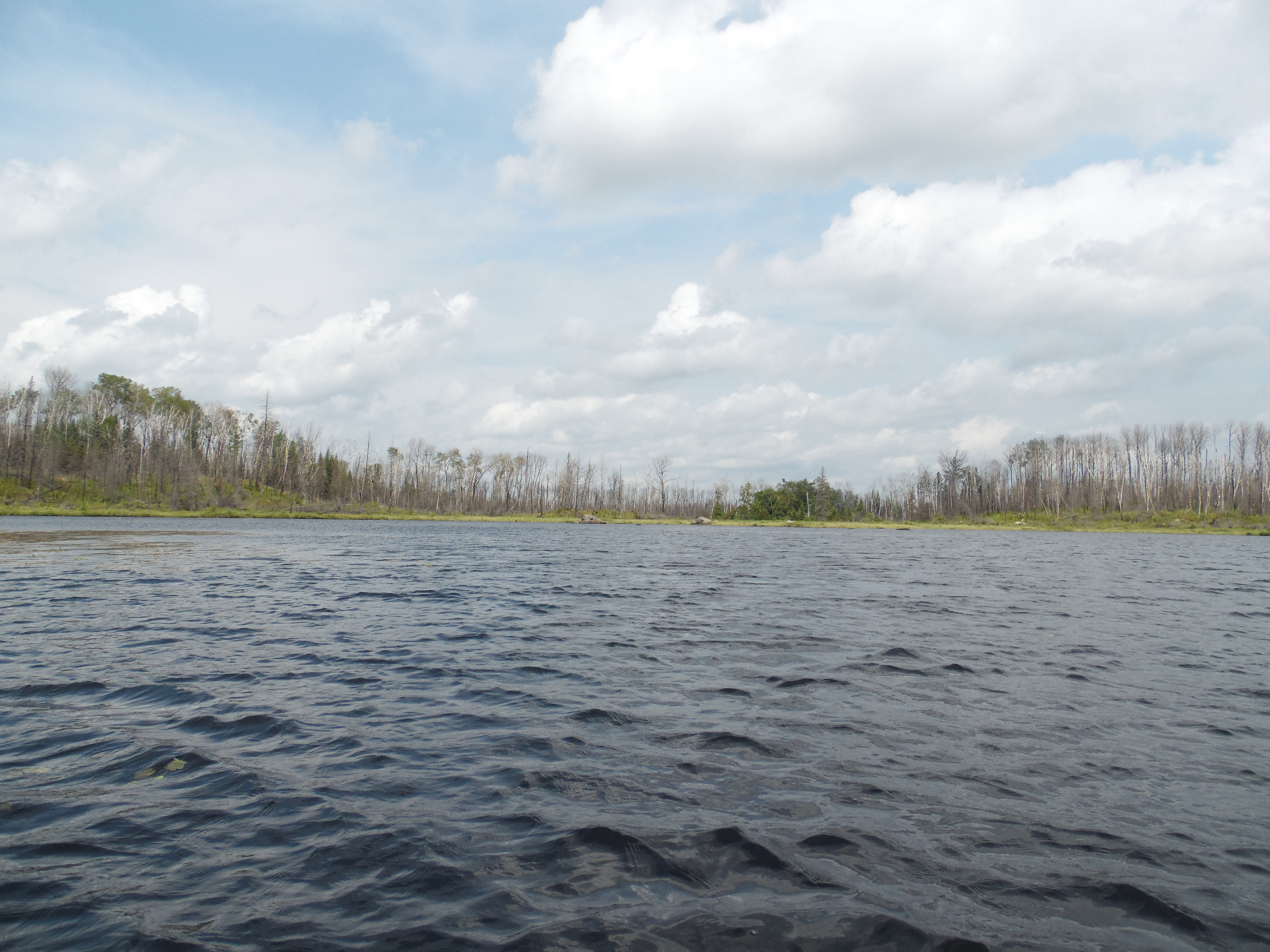
This is the west shoreline of Spinnan Lake. Beyond in this direction lies Holiday Lake.
From left to right are the western and northern shoreline of Spinnan Lake.
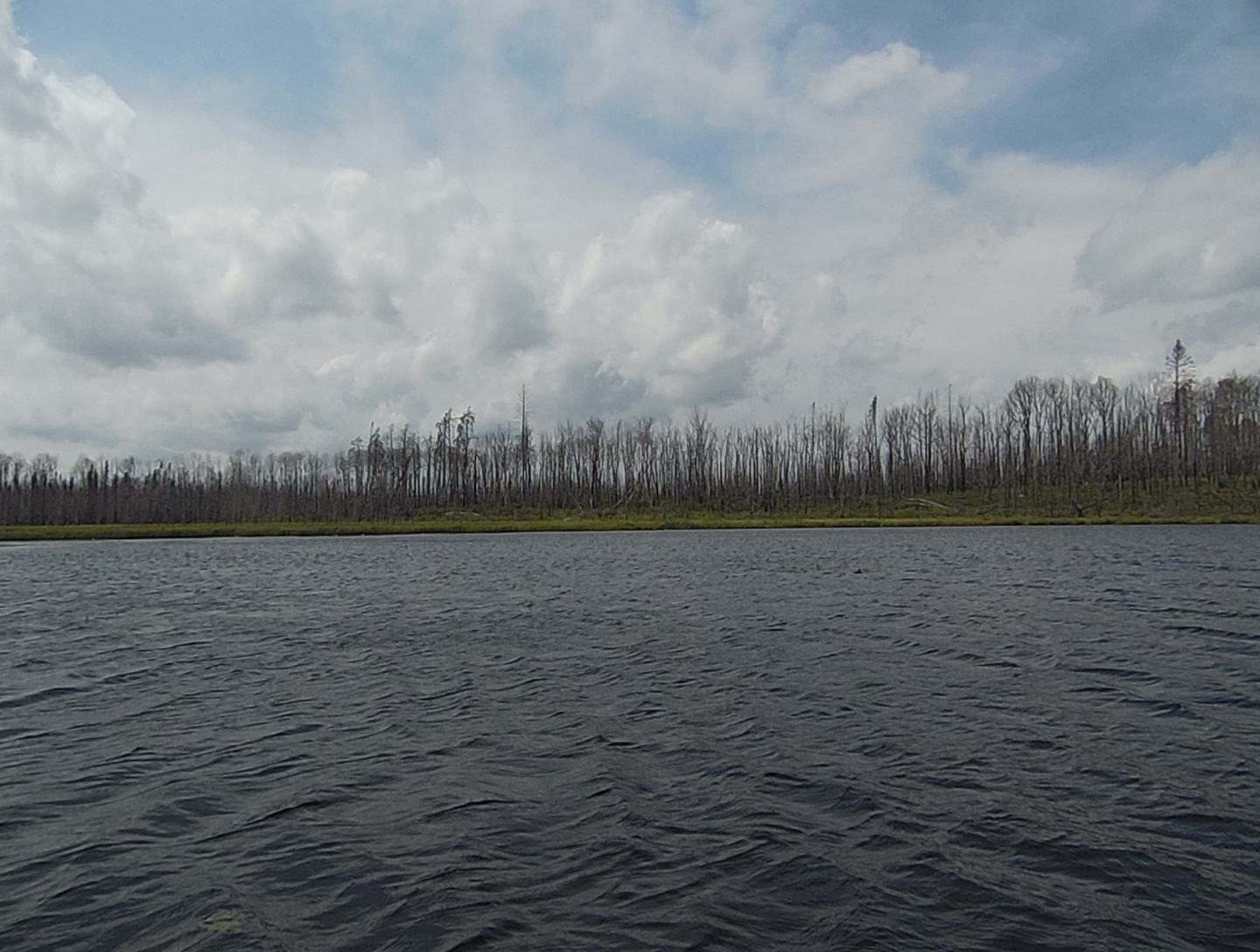
Burned forest along the south shore of Spinnan Lake.
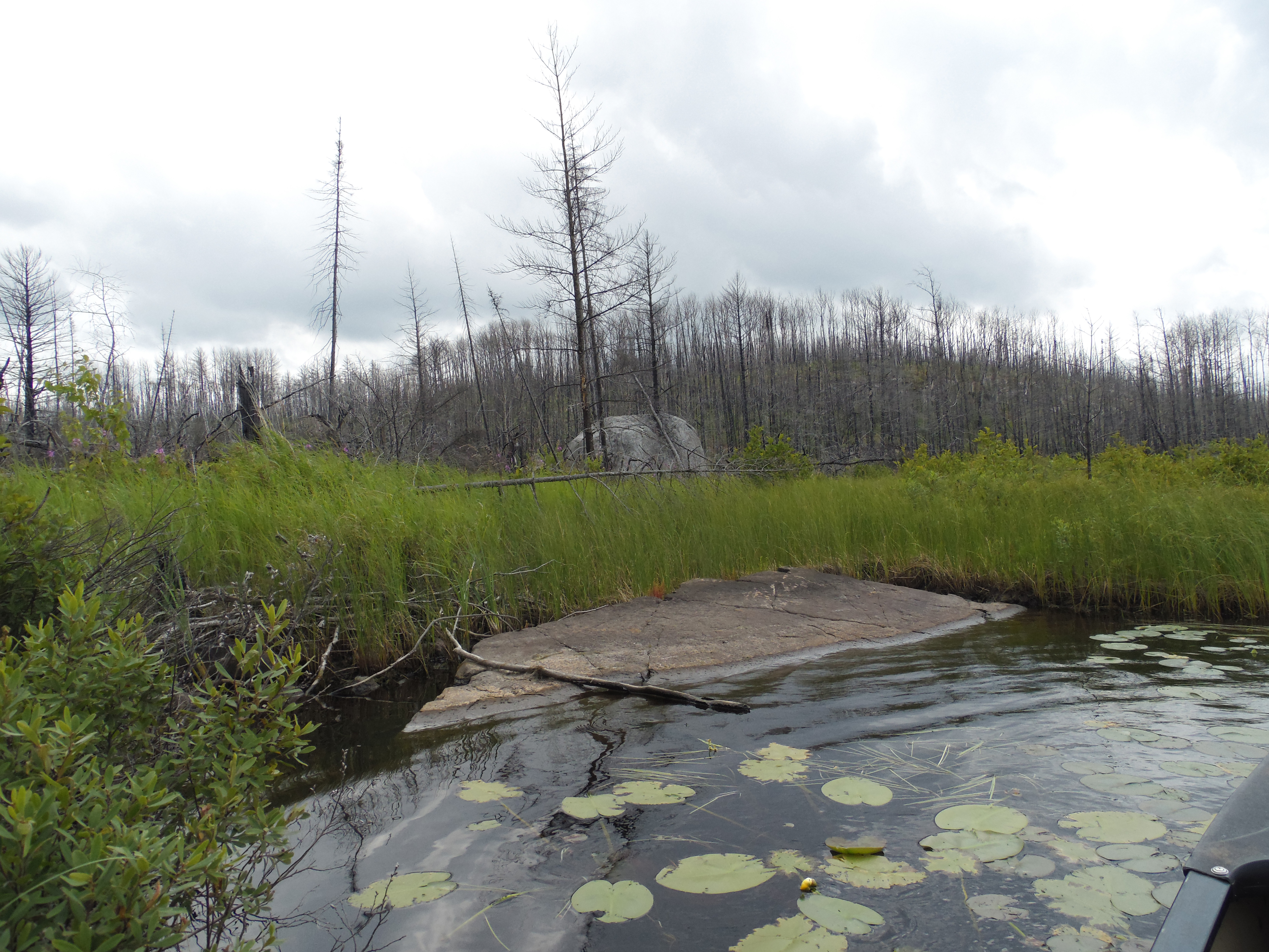
The east shoreline of the lake. There is this rock "ramp" formation (far left) that makes a good place to land the canoe if you need to stand up. There aren't many other good places to easily pull over along the shore of this lake.
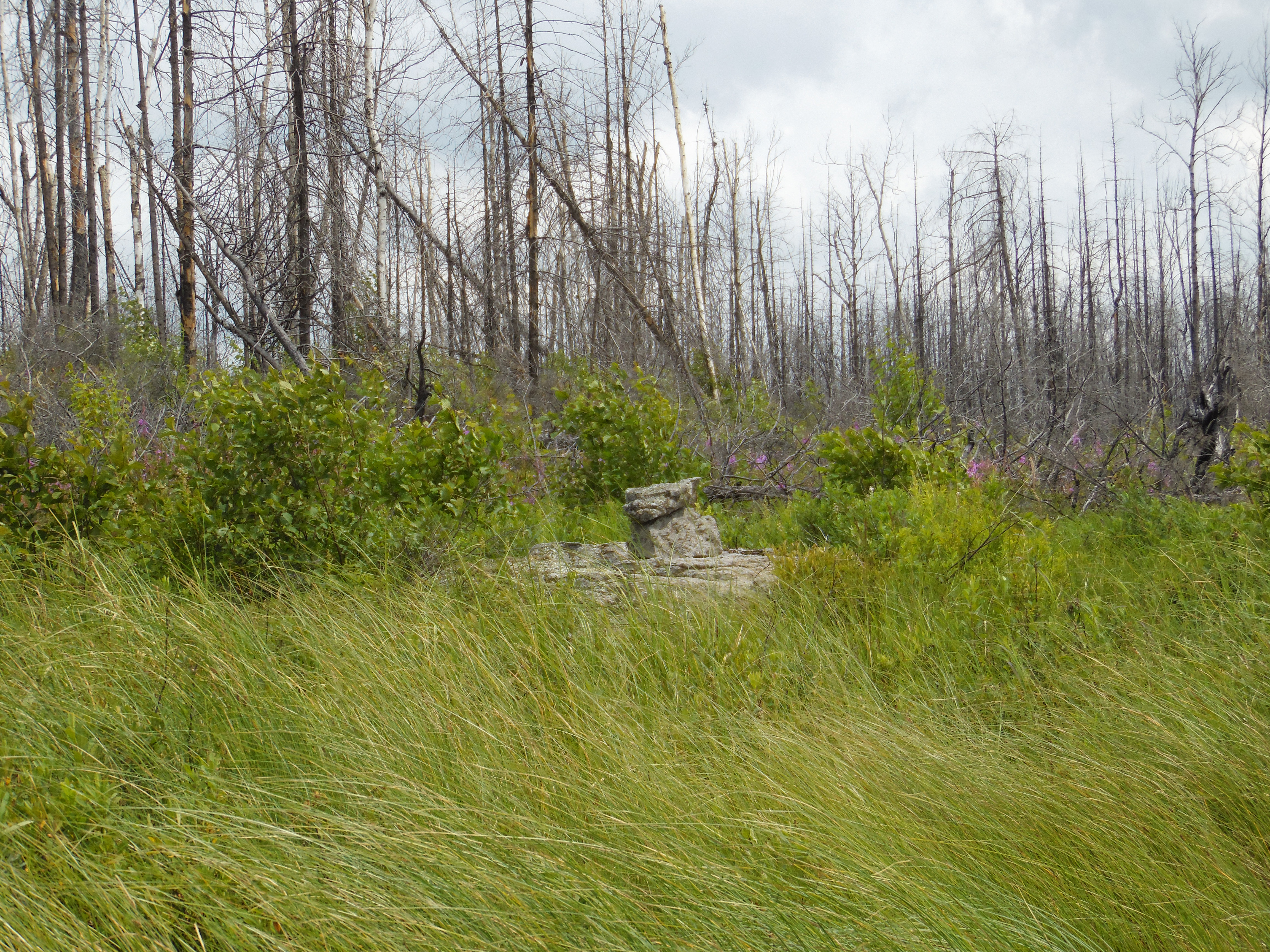
This pile of rocks sort of looks like a cairn. This is along the east shore of the lake.
Viewpoint is from the north end of the lake near the creek. Looking south down the eastern shoreline of Spinnan Lake.
Close up view of the ramp along the east shore of the lake. One thing you can see when the forest is burned is how many huge boulders are scattered throughout the forest in the Boundary Water. Many of these large boulders are glacial erratics. These are rocks that were carried along by the glacier. Glaciers move just like rivers, just very slowly. When the ice melted, the boulders were just left behind. So if they look out of place, its because they are. Many of them were moved many miles by the ice flows.
When you are ready to end your visit at Spinnan Lake, the bushwhack starts here back to navigable part of the creek. This is where the creek flows out of the north end of the lake. This creek drains into Lake Three.
Bushwhack back out to creek leading to Lake Three
Keeping the creek on your left, follow the trail you made coming in back to the canoe landing on the stream below the small rapids.
View downstream from just below the little rapids where you ended your bushwhack from Spinnan Lake.
You've made it back to Lake Three. The creeks mouth is within an inlet in the southwest part of the lake.