Rock Island Lake
Rock Island Lake is accessed from Lake Two. There is a portage to the left of the small creek. The creek initially is filled with toppled trees, probably many from the recent fire. After about 10 rods of easy bushwhacking along this portage, the creek becomes navigable thanks to our beaver friends who had created at least one dam for you to lift your gear over. The creek widens as it approaches Rock Island Lake.
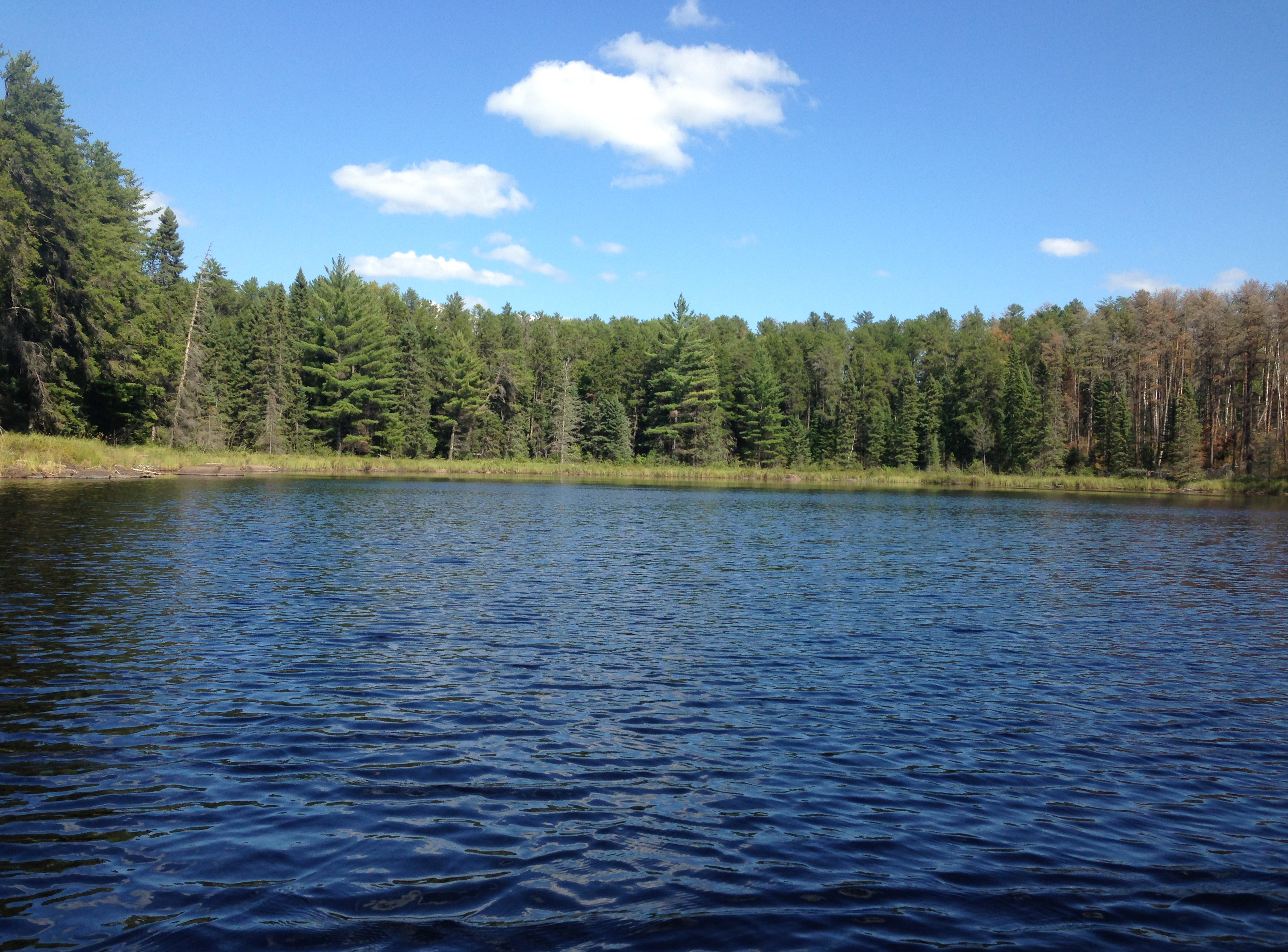
Rock Island Lake is an easy PMA lake to reach and also has a fairly good campsite. Combine that with the fact that there are northern pike in the lake and you have a good reason to visit. Some of the shoreline has been burned, but other sections of the lakes shore are unaffected by the recent fire.
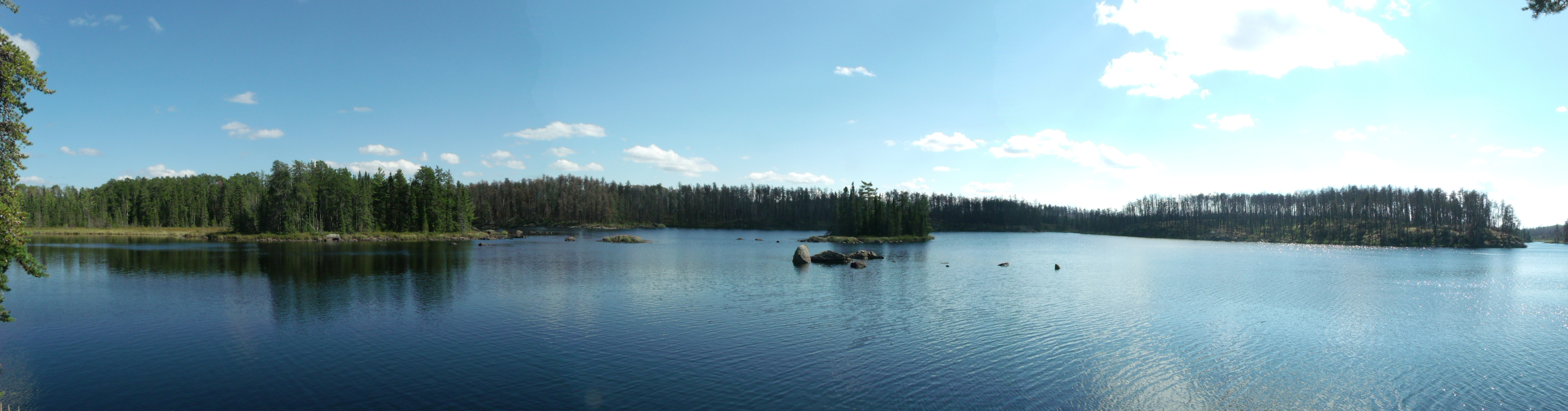
The campsite is located on a nice point and provides an expansive view of this very pretty lake.
Via the west bay of Rock Island Lake, a bushwhack can be made to reach Judd Lake. Clearwater Lake may be accessible beyond Judd Lake, but I was unable to find the portage path that once existed between those two lakes.
This lake used to have a different name. On the 1952 Fisher No. 113 map, this lake is referred to as One Island Lake. Makes some sense as there is one island. Current name makes sense too, because the island is made of rock. Officially, the latter origination of the name is the true origin.
In 1894 a fire affected this area. This fire started somewhere near Gabbro Lake and burned from Gabbro Lake up to Lake One, Lake Two and Lake Three.
Much of the forest around this lake consists of tamarack and black spruce (Pauly, 2005).
References:
Beymer, Robert, Boundary Waters Canoe Area – Volume 1 – Western Region (Berkeley: Wilderness Press, 2006), 186, 189, 213, 219, 225, 233, 241, 247.
Pauly, Daniel, Exploring the Boundary Waters (Minneapolis: University of Minnesota Press, 2005), 203.
What is a Primitive Management Area (PMA)?
Approach to Rock Island Lake
Click on the photos below to see the full resolution image - Use your browsers back button to close photo and return to this page.

The entire approach to Rock Island Lake is from Lake Two. This is the bay where the bushwhack trail to Rock Island Lake is found on Lake Two.
Bushwhack to Rock Island Lake

This is where you pull your canoe out of Lake Two. The lake has narrowed into a creek at this point. The creek to Rock Island Lake flows north. A portage/bushwhacking trail follows the east bank of the creek. The path is used often enough to be easy to follow.
A good view of the creek looking upstream (toward the south). This view is from the path that connects Lake Two and Rock Island Lake. There are a few fallen trees to lug your gear over or under, but the path is not hard to see.
You come to this Beaver dam along Rock Island Creek, as you look upstream in the direction of Rock Island Lake. This took you just a few paddle strokes to reach, just upstream from where the portage ended that you walked from Lake Two.
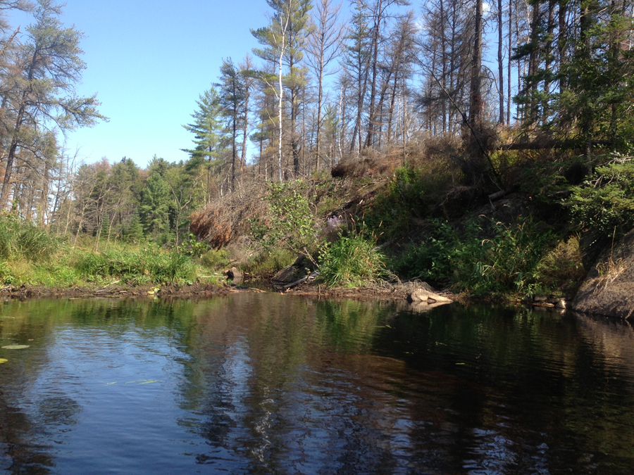
Before reaching this beaver dam, you need to paddle about 100 feet or so upstream. You then lift over the beaver dam. Now that you've cleared the dam, you continue paddling upstream from this point.
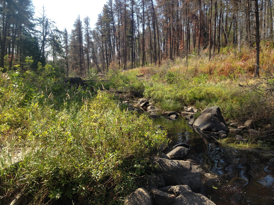
You may encounter a beaver dam or two as you continue, it just depends on how industrious the beavers have been. A bit further upstream and the creek starts to widen for you. Just ahead you can see the creek enters a marsh and hooks to the left (southeast). At this point, it is much easier to see the burn scars of the recent forest fire.
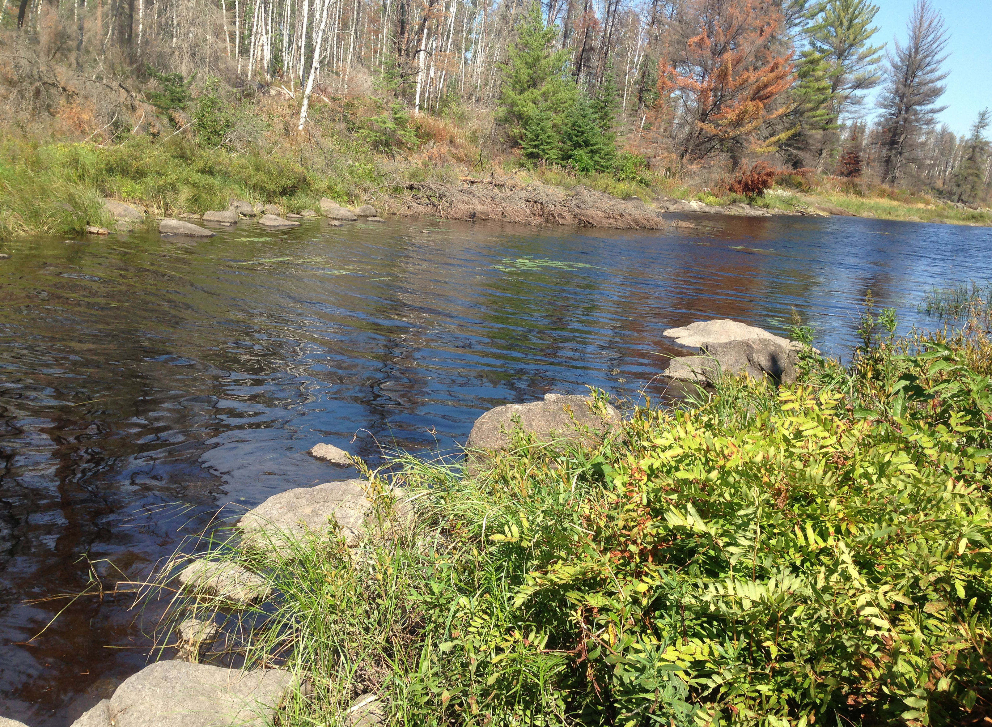
A view to the south, right where the creek bends to the left (southeast). If the water is low, you might have to get out and push. The creek bottom here seemed pretty firm so walking wasn't an issue.
You travel along the creek between Lake Two and Rock Island Lake.
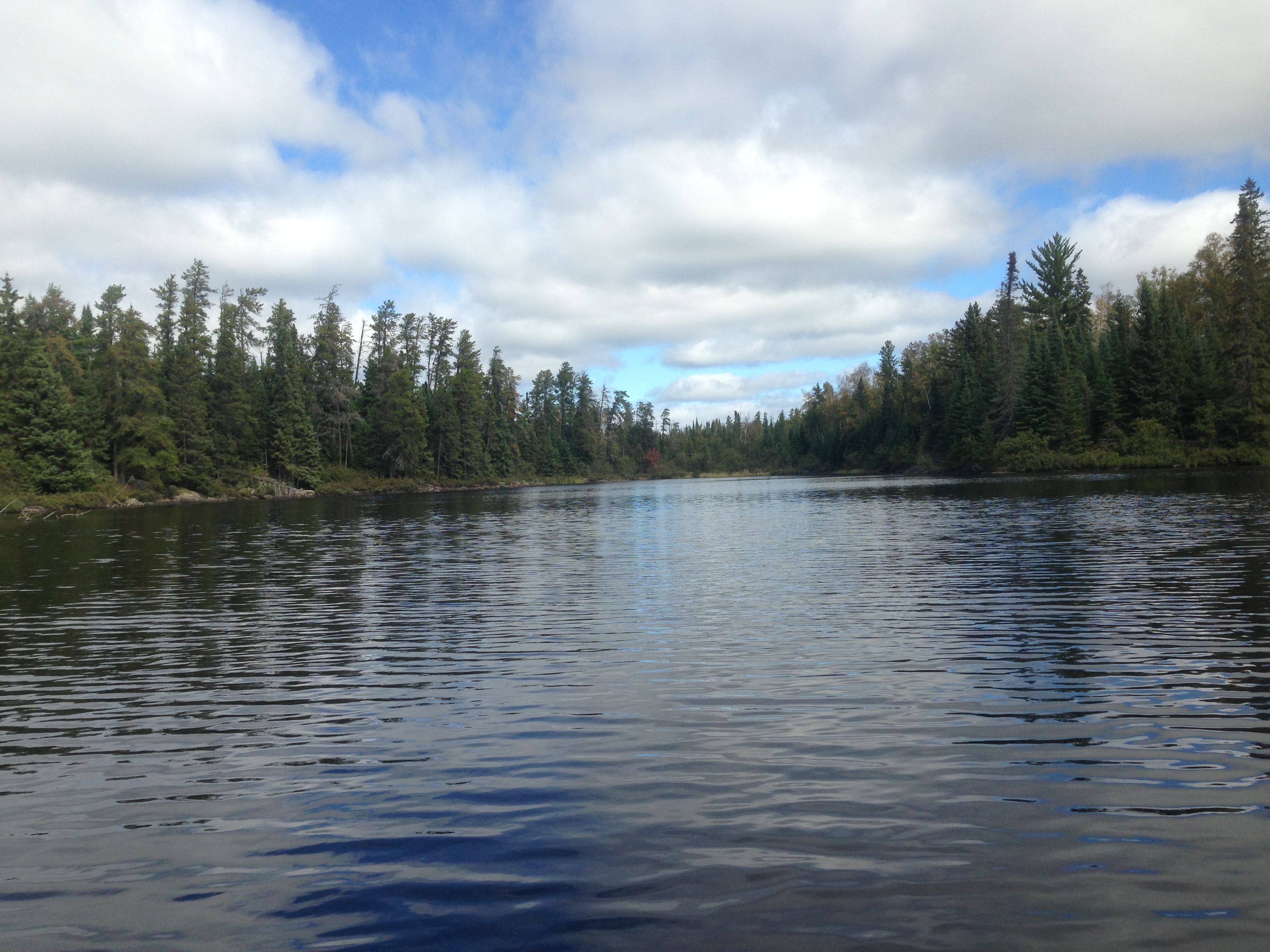
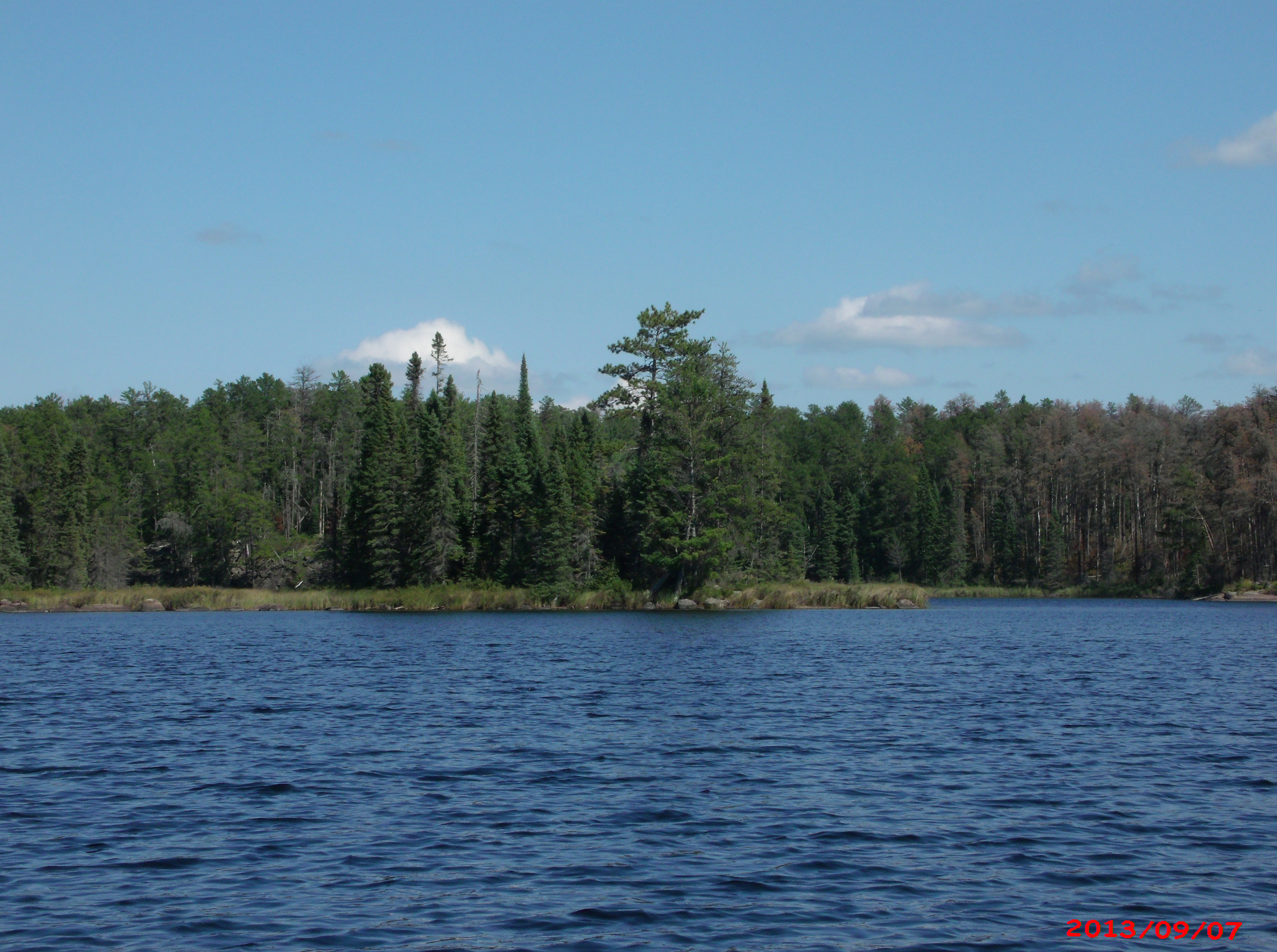
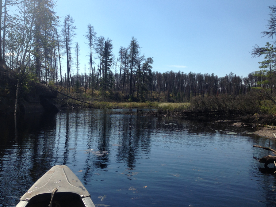
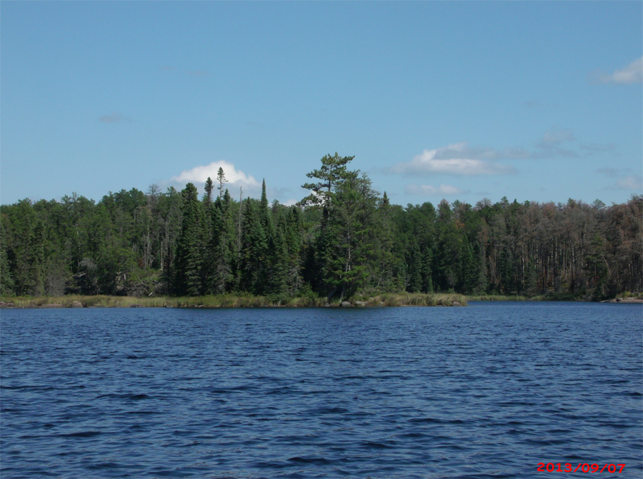
Rock Island Lake opens up before you as you enter the lake from the creek. This view is toward the south.
Exploring Rock Island Lake
Northwest shore of the lake.

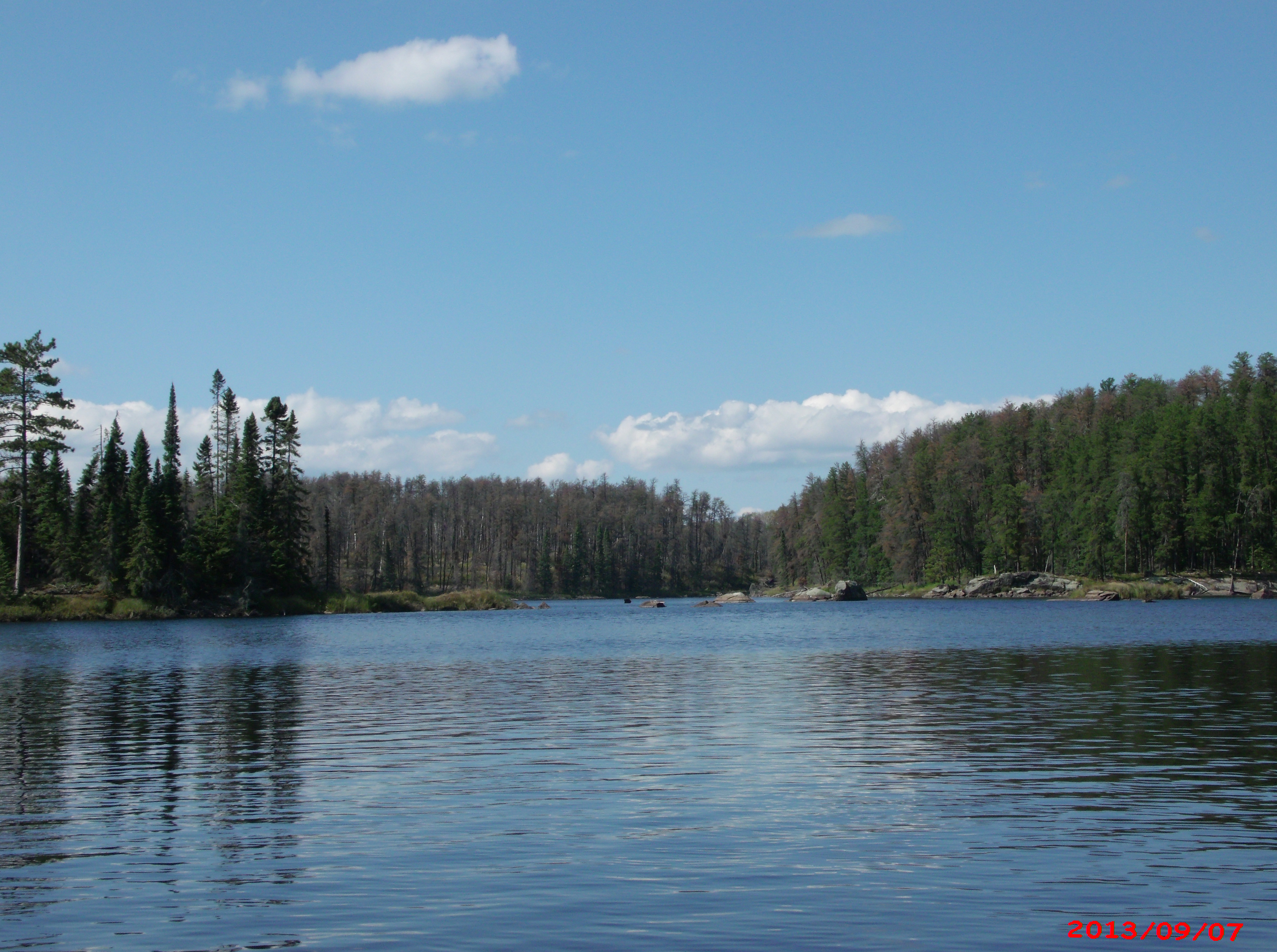
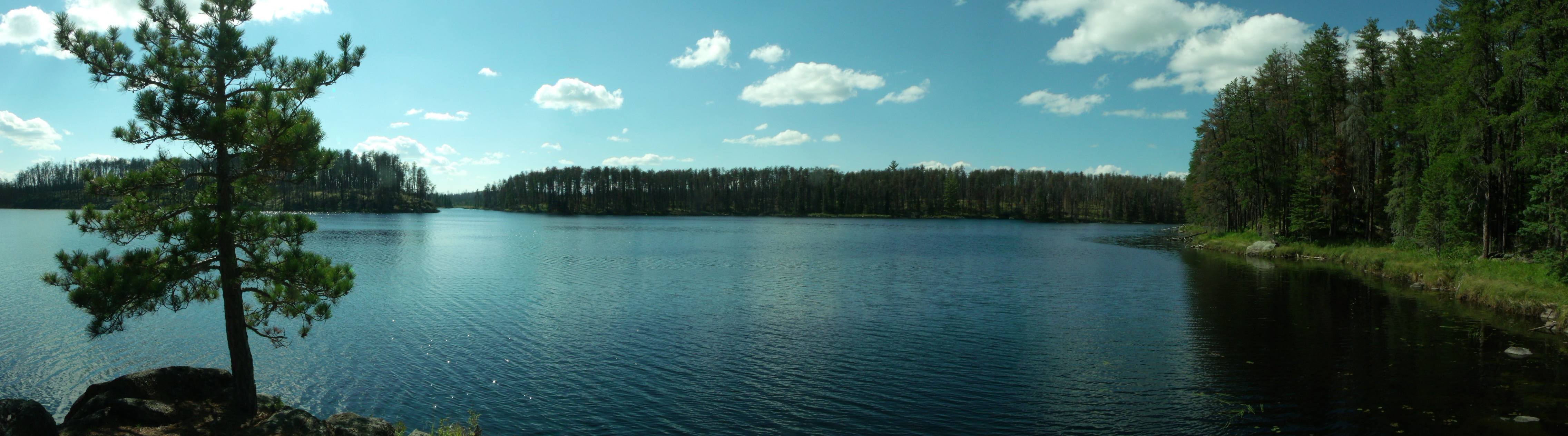
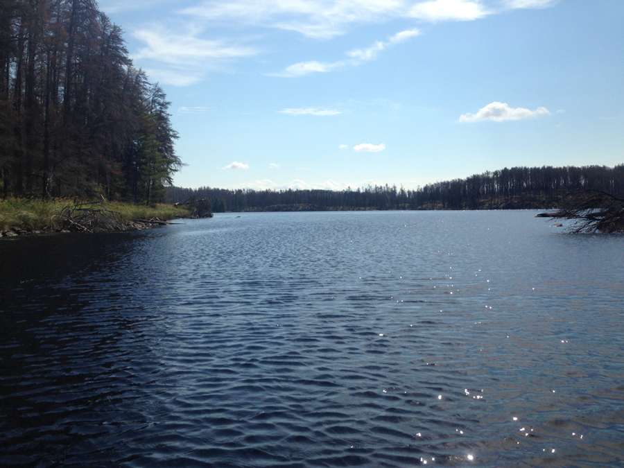
Looking north from near the sound end of the lake. The lakes main island is visible to the left side of your view.
You are paddling down the western arm of Rock Island Lake, through which you expect to get to Judd Lake.
Eastern bay of Rock Island Lake as seen from just east of the lake's island.

West shoreline of the lake. This is the point just north of the entrance to the west arm of the lake.
You are now paddling toward the far western end of Rock Island Lake, where the creek from Judd Lake flows in.
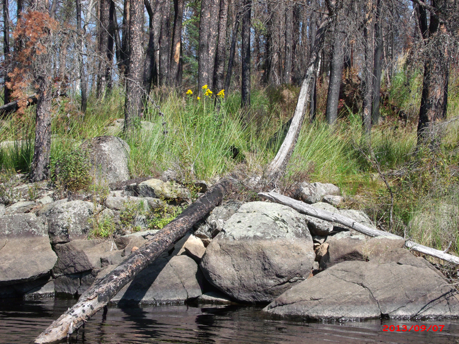
Flowers along the southeast shoreline of Rock Island Lake.
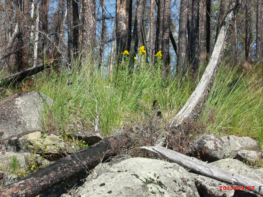
Closer view.
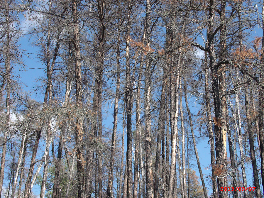
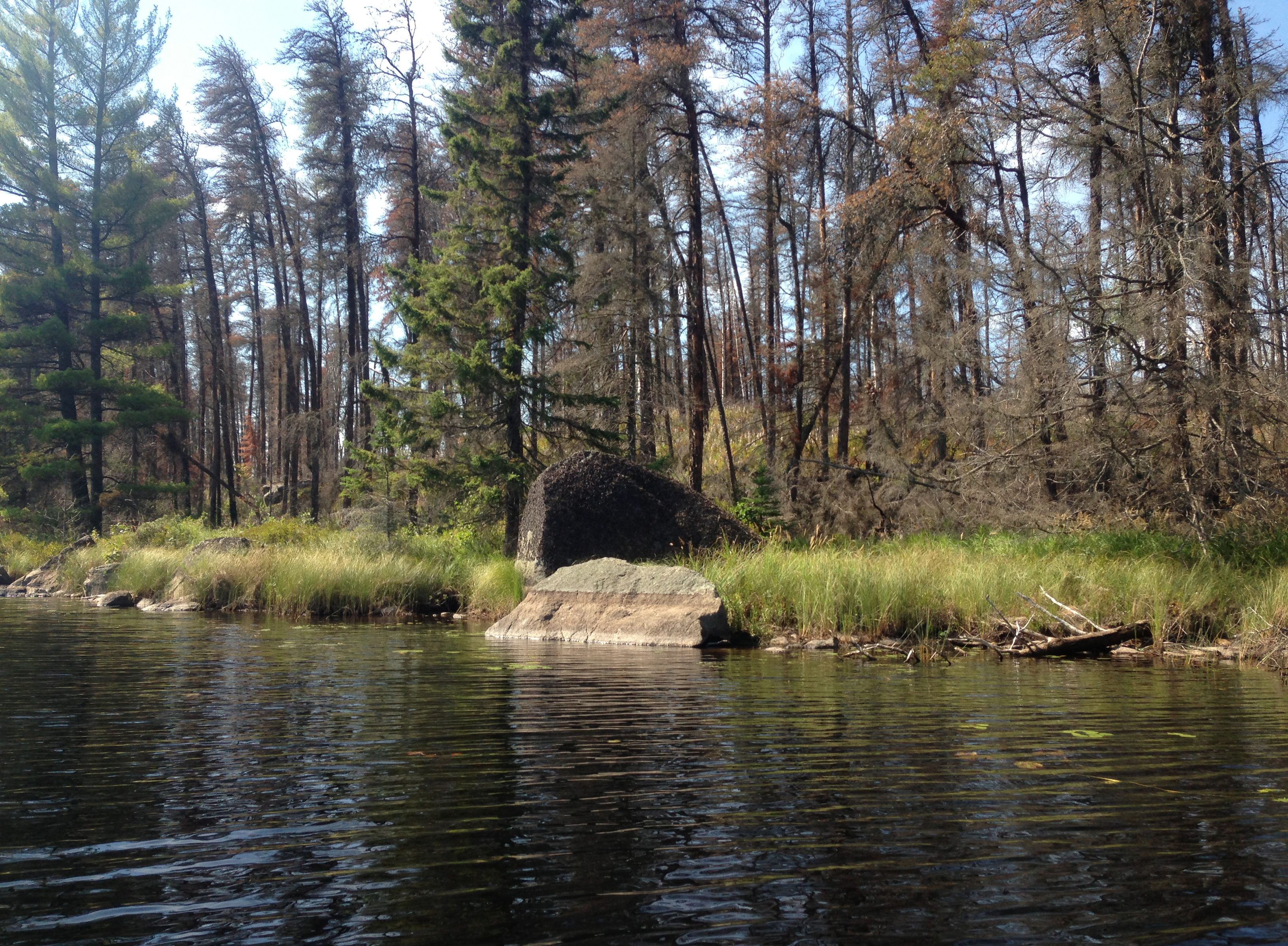
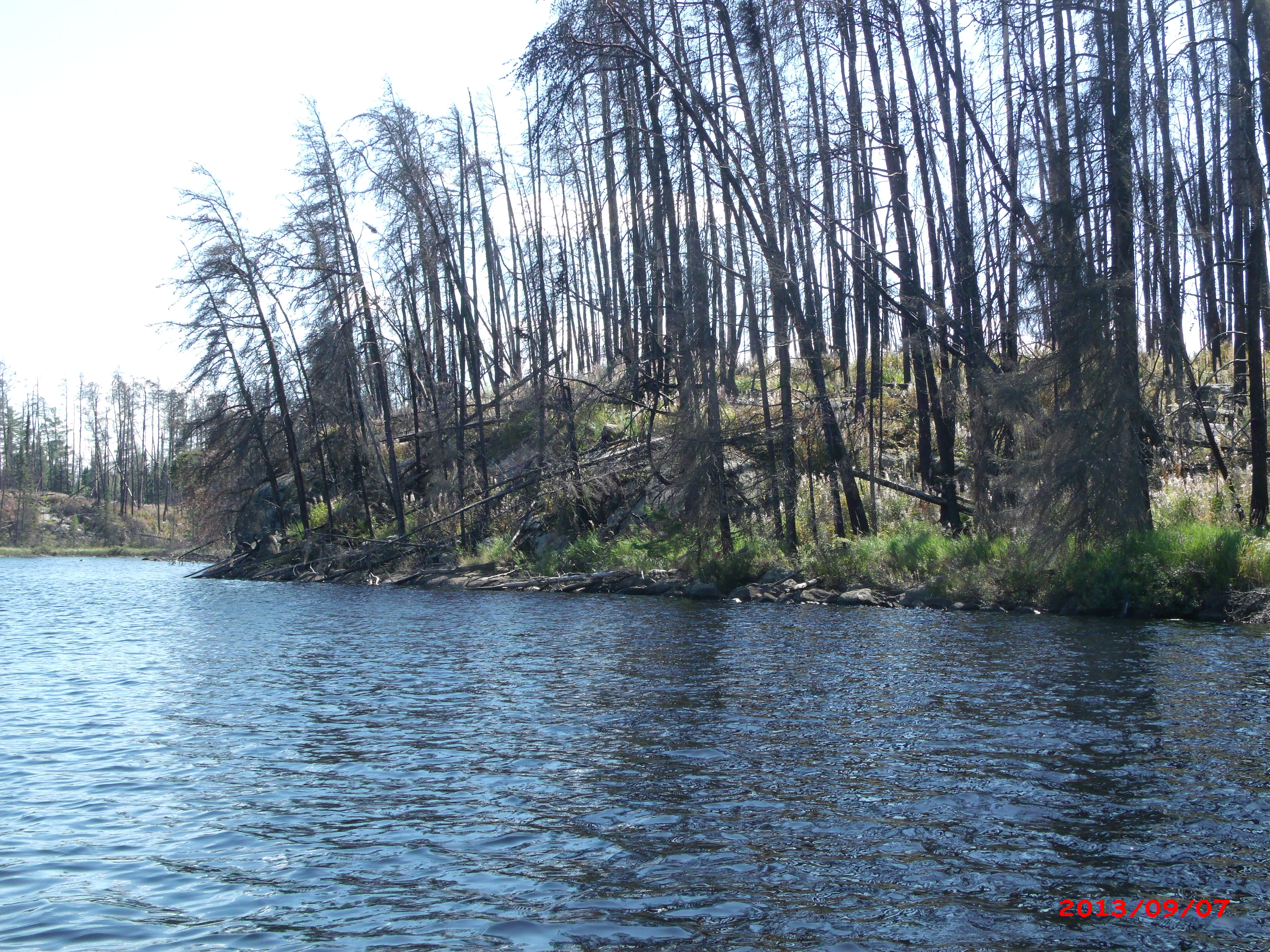
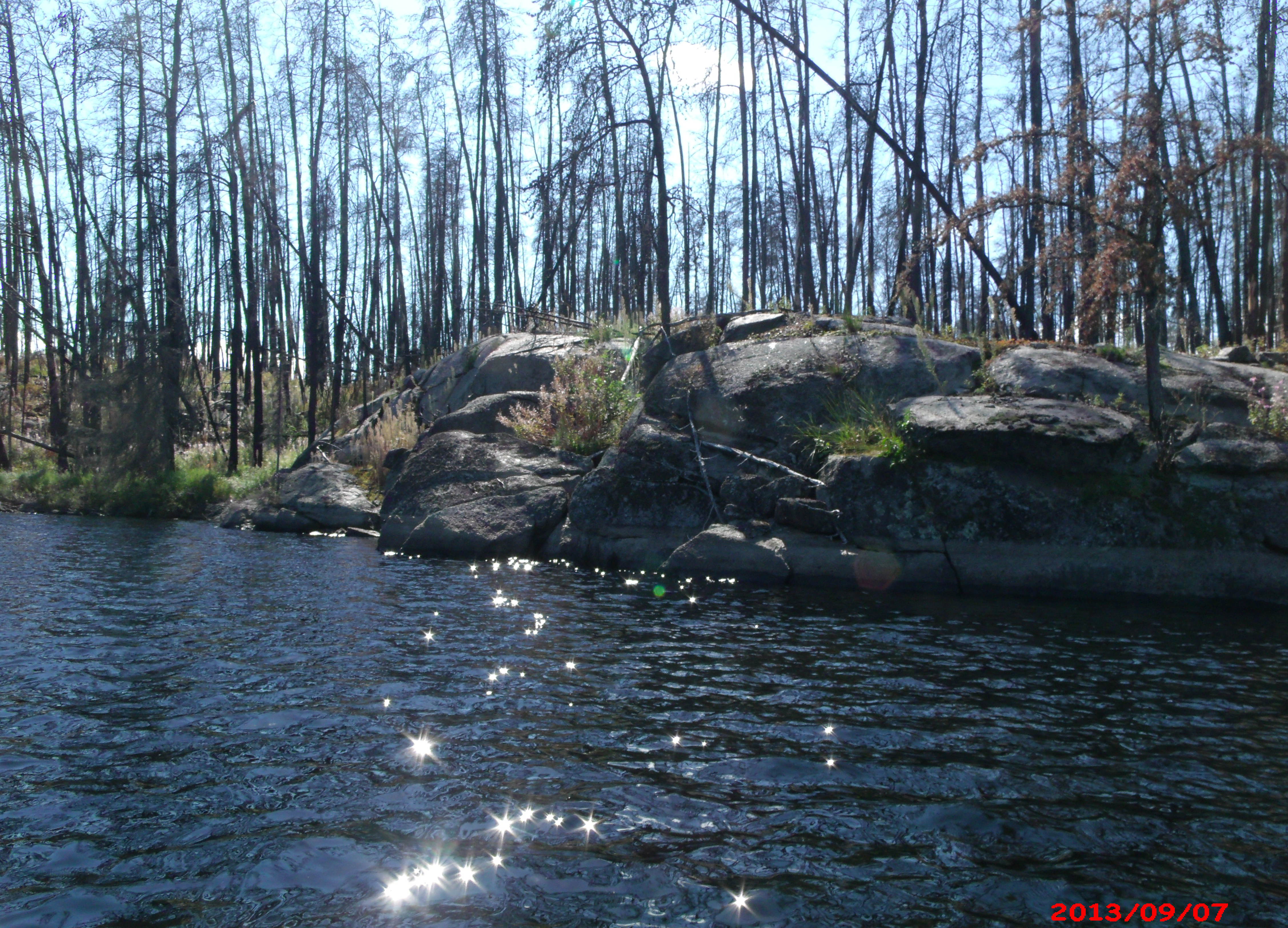
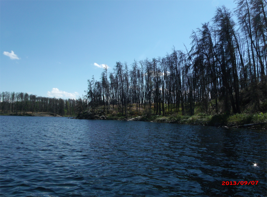
Burned tree canopy along south shore of Rock Island Lake. This is a couple of years after the 2011 Pagami Creek Fire (late summer 2013).
Passing by 'Rock Island', you paddle on. Eventually you pull your cano up to and land at the campsite on Rock Island Lake. You discover that the campsite has a nice landing and is in rather good shape.
Southwest shoreline of Rock Island Lake, south of the entrance to the western arm of the lake. View is generally south.

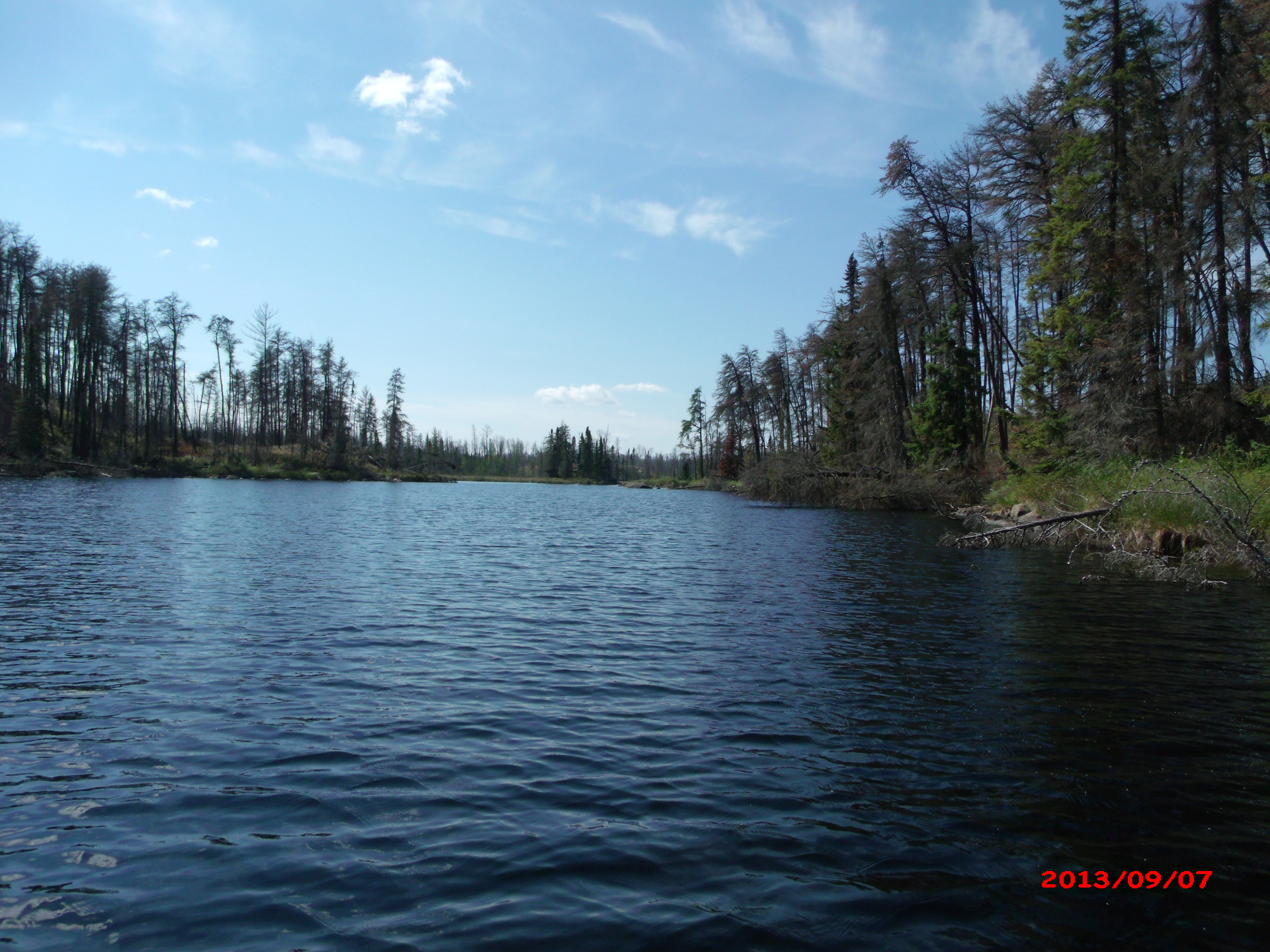
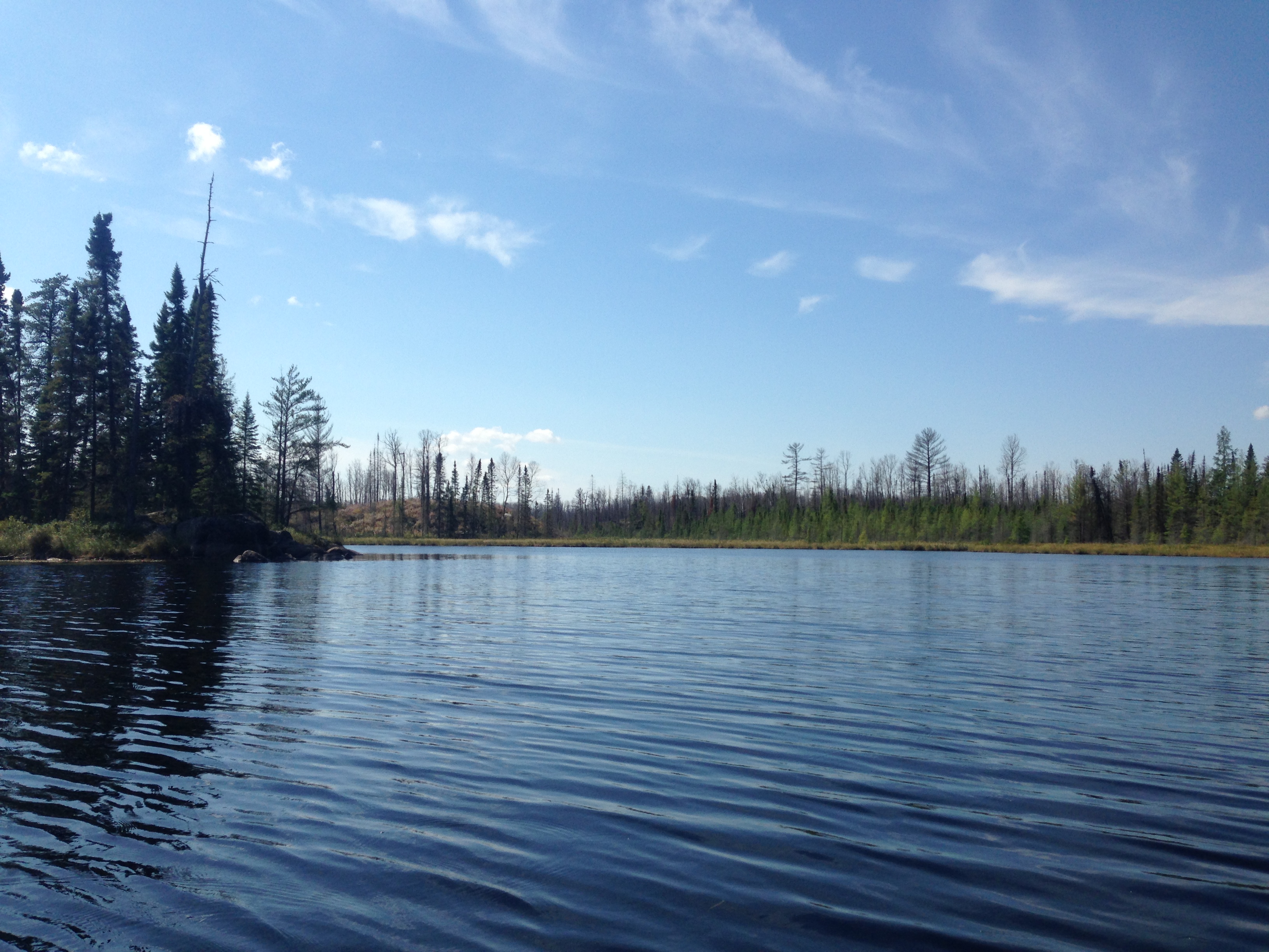
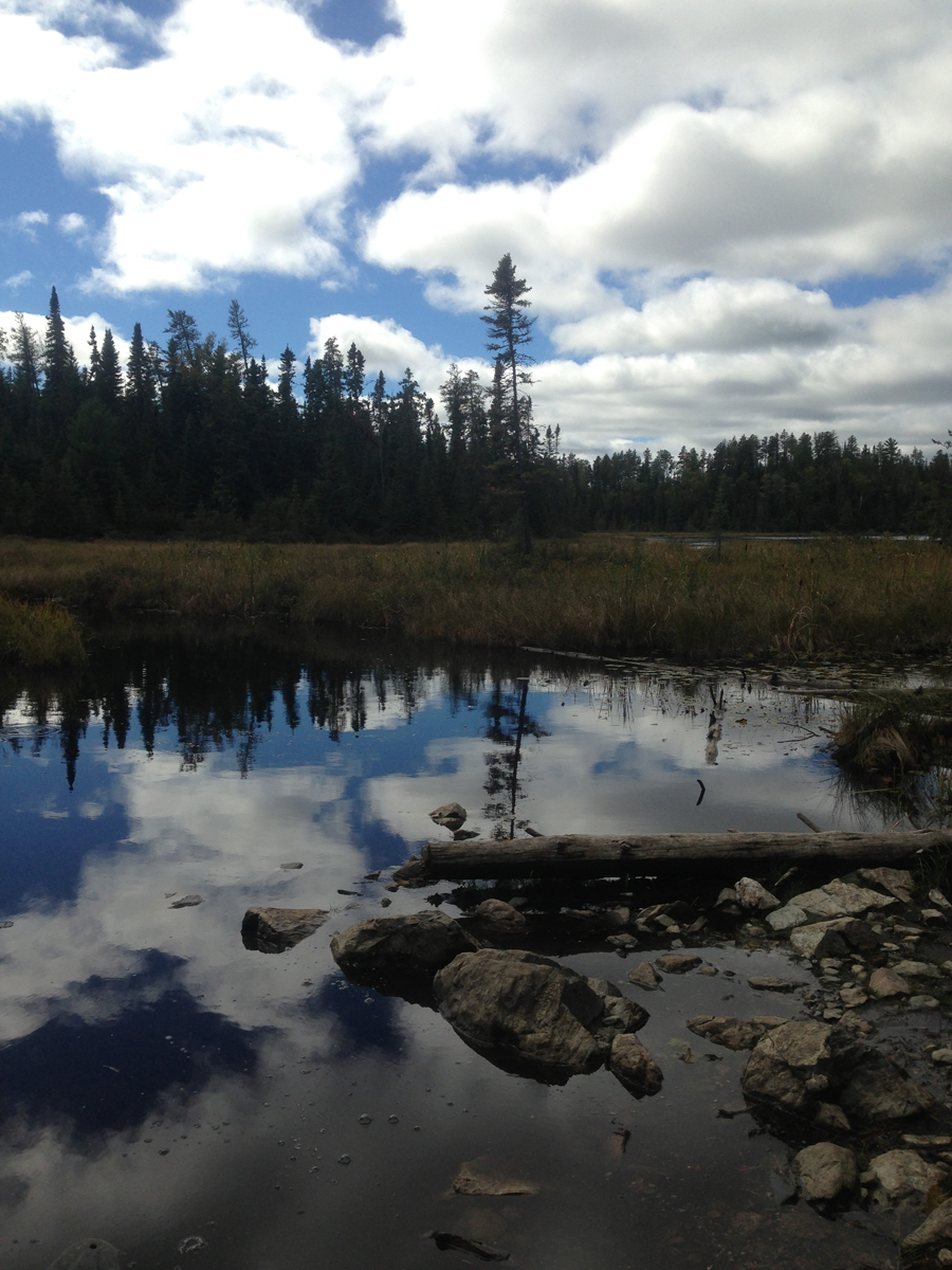
Looking toward the southwest down the western arm of Rock Island Lake. In the far distance the peat bog is visible near the middle of your view. This is the peat bog you must traverse to reach Judd Lake.

This is where the creek flows out of Rock Island Lake. This creek flows downstream from here to Lake Two. You are looking toward the north.

Western shoreline south of the entrance to the right arm. Not far from the southern tip of the lake.
You continue canoeing and exploring the southern part of Rock Island Lake, until you have completed its circumnavigation.

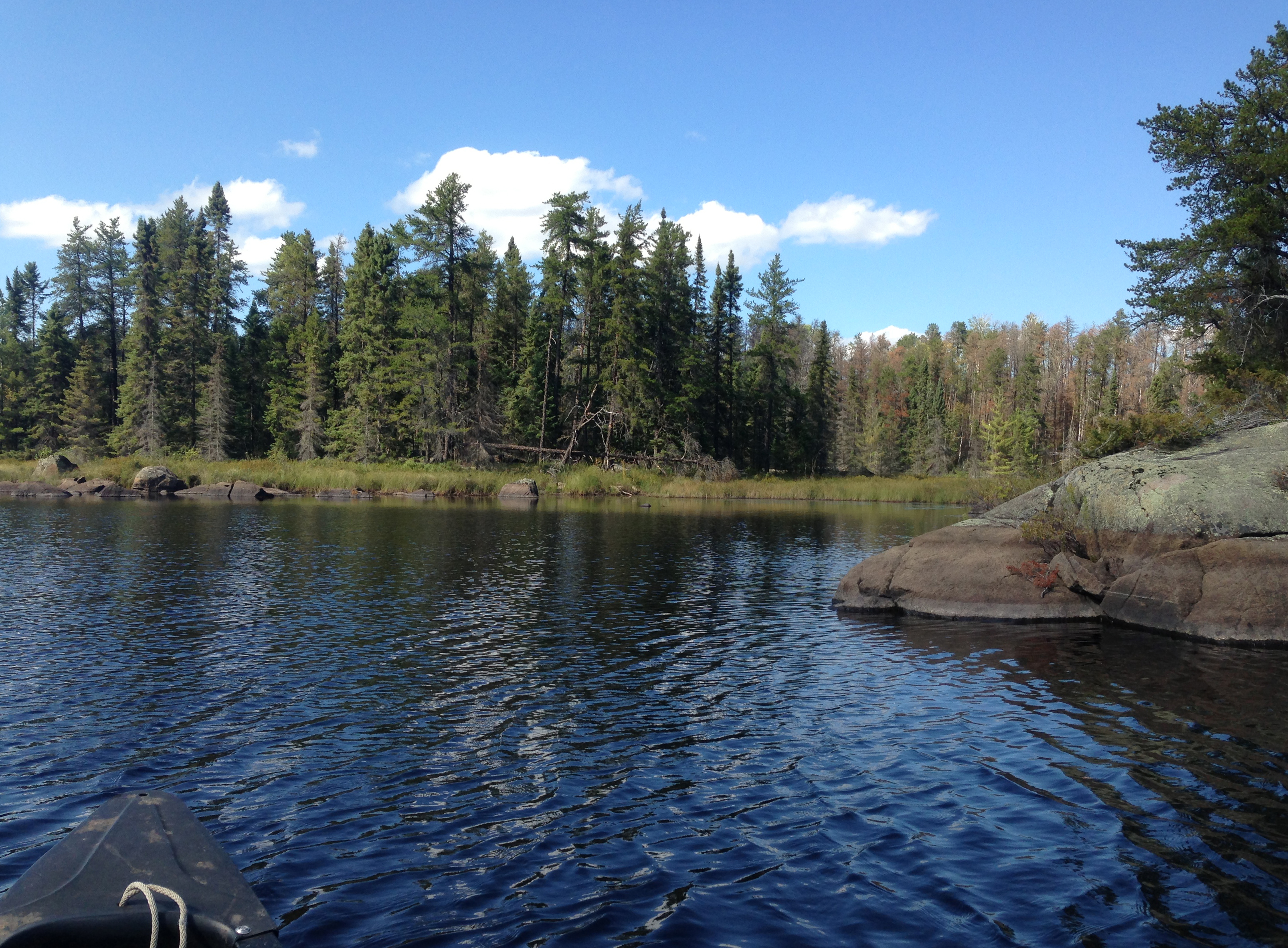
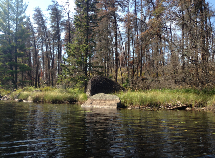
Looking northwest from the small bay due east of the island. This is the sharp point (that rock outcrop visible to your right in the foreground).
Looking into the southeast corner of the lake.

The north and northwest shore of the western arm of Rock Island Lake. The creek leading to Judd Lake would be just a bit left from your vantage point.

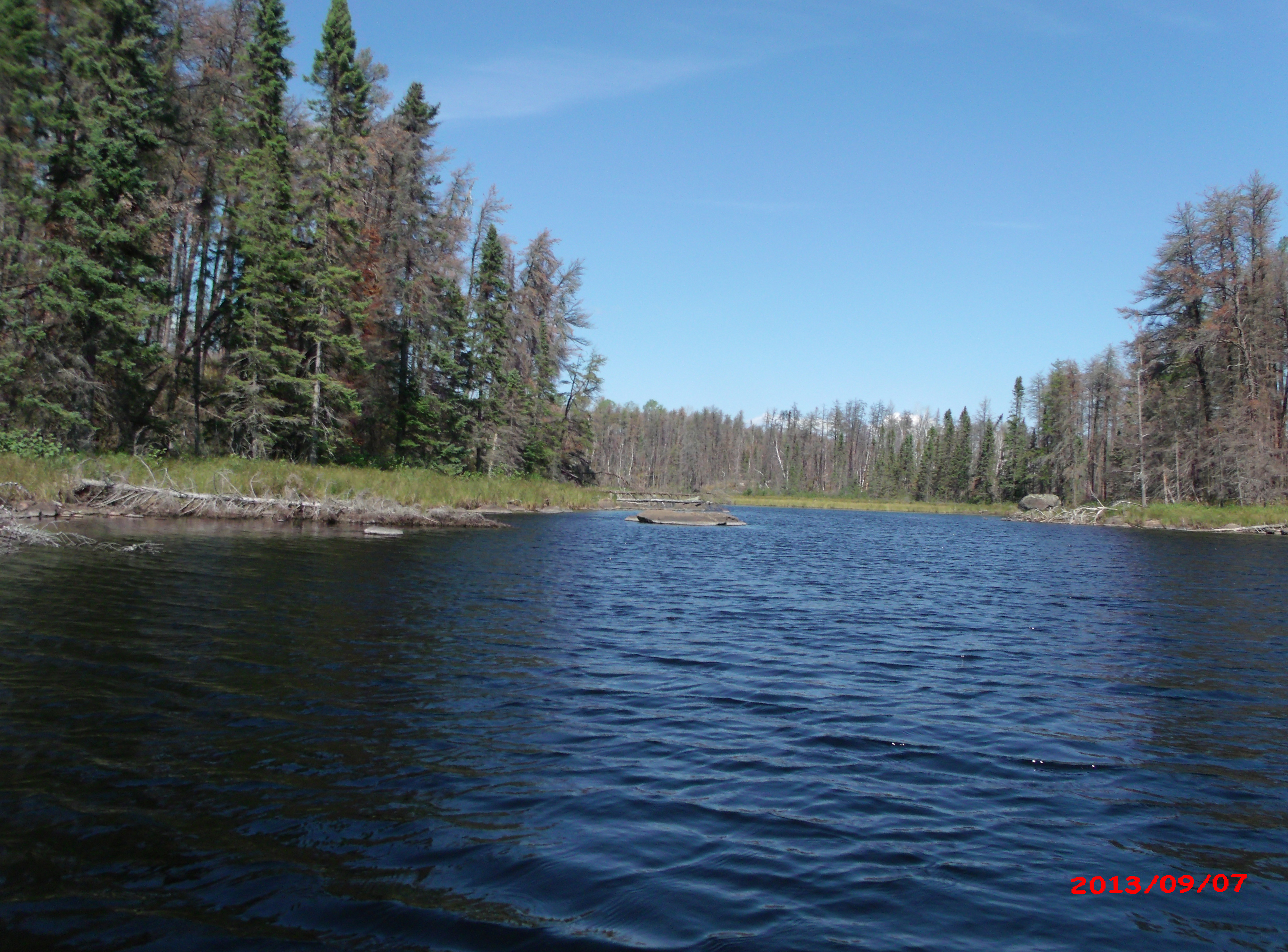
A good view of the west end of the western arm of the lake. The creek from Judd Lake flows into this area just behind that point on the left.

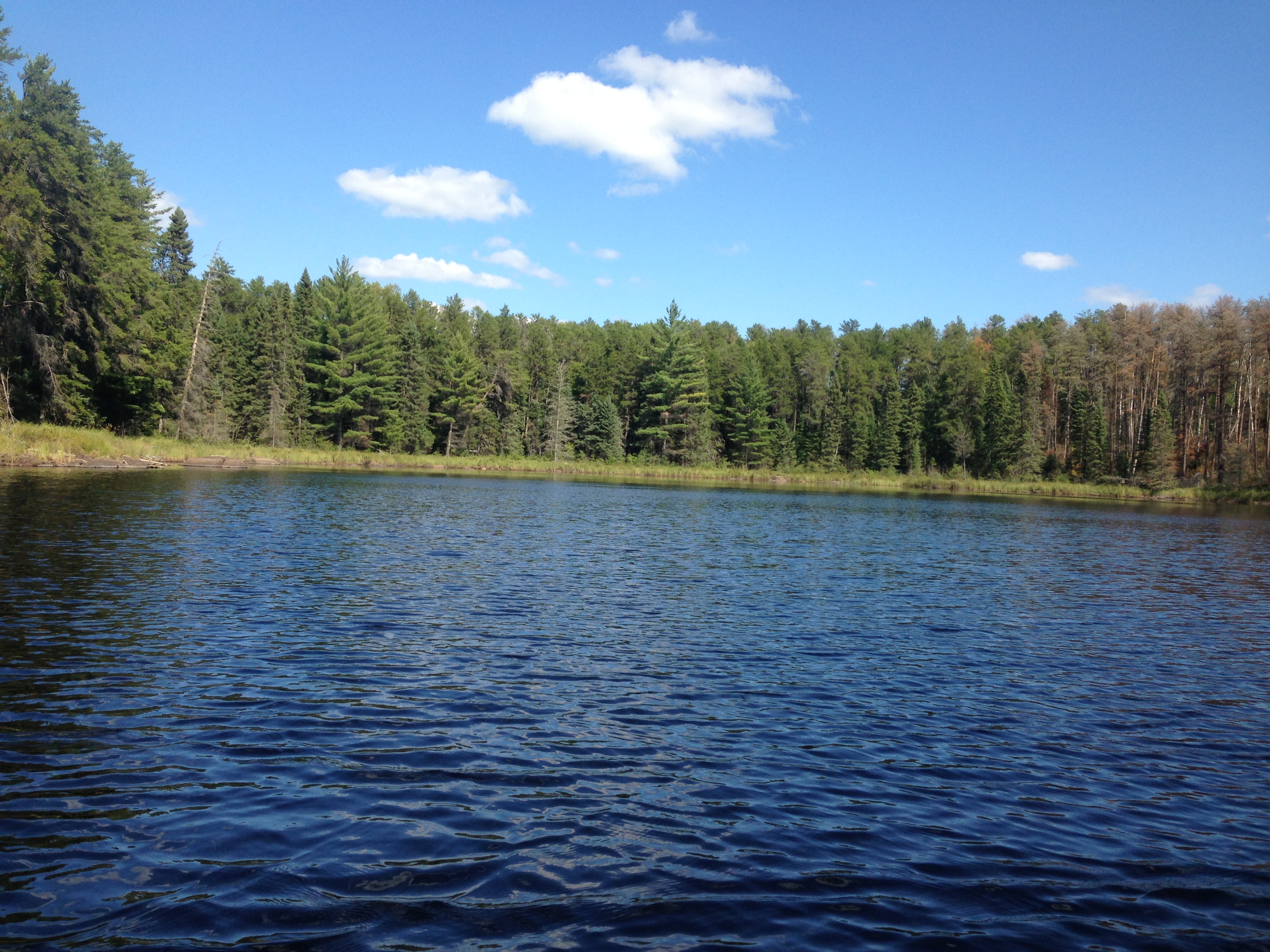
Spectacular view from the old campsite on the lakes eastern shore. This view takes in the entire southern part of the lake.

Another awesome view from the campsite. The campsite is located on the sharp point on the east shoreline and provides panaramic views of almost the entire lake. Just to the left of center you can see back into the western arm of Rock Island Lake.
After leaving the campsite, you paddle and bushwhack from Rock Island Lake back out to Lake Two along the creek.
|