Pagami Creek flows out of Clearwater Lake and runs north through Pagami Lake. It eventually pours into Lake One which is part of the Kawishiwi River drainage. Weasel Creek flows into Pagami Creek north of Pagami Lake. Weasel Creek drains Weasel Lake.
The 2011 Pagami Creek Fire started along Pagami Creek and burned out much of the area. The area north of Weasel Creek and the east side of Pagami Creek north of where Weasel Creek flows in, were severely burned by the fires. It appears that the fire actually started on the west shore of Pagami Creek, about a half mile due northwest of Weasel Lake and then jumped Pagami Creek and went on a tear through much of the southern-central BWCA.
This entire area is excellent moose country. However, the July 2016 windstorm has left many trees downed in this area, making travel through the forest difficult for moose. On a trip here in 2012, there was a dead moose in the water at the confluence of Weasel Creek and Pagami Creek. Originally thought the dead moose was a giant boulder, but upon closer inspection it turned out to be a huge mass of grayish moose skin covered flesh. The hair had beenn rubbed off the unfortunate moose, so its body had the appearance of wet rock.
Expect at least two beaver dam liftovers between Lake One and Pagami Lake. There is usually at least one more beaver dam upstream of Pagami Lake before reaching a natural barrier. Travel past that natural barrier will be difficult in case you are entertaining travel all the way to Clearwater Lake. This is even more difficult now with the recent blowdown from the 2016 windstorm.
Two old trails used to intersect Pagami Creek. Roughly a half mile upstream from Lake One, a trail used to cross Pagami Creek. This trail connected the area out near the west side of Weasel Lake with the Kawishiwi River. A second trail started perhaps a quarter mile down stream and started on the north bank of Pagami Creek. This trail lead up to the south shore of Carefree Lake. Both of these old trails are shown on the 1952 Fisher No. 113 map.
In 1894 a fire affected this area. This fire started somewhere near Gabbro Lake and burned from Gabbro Lake up to Lake One, Lake Two and Lake Three.
Click on the photos below to see the full resolution image - Use your browsers back button to close photo and return to this page.
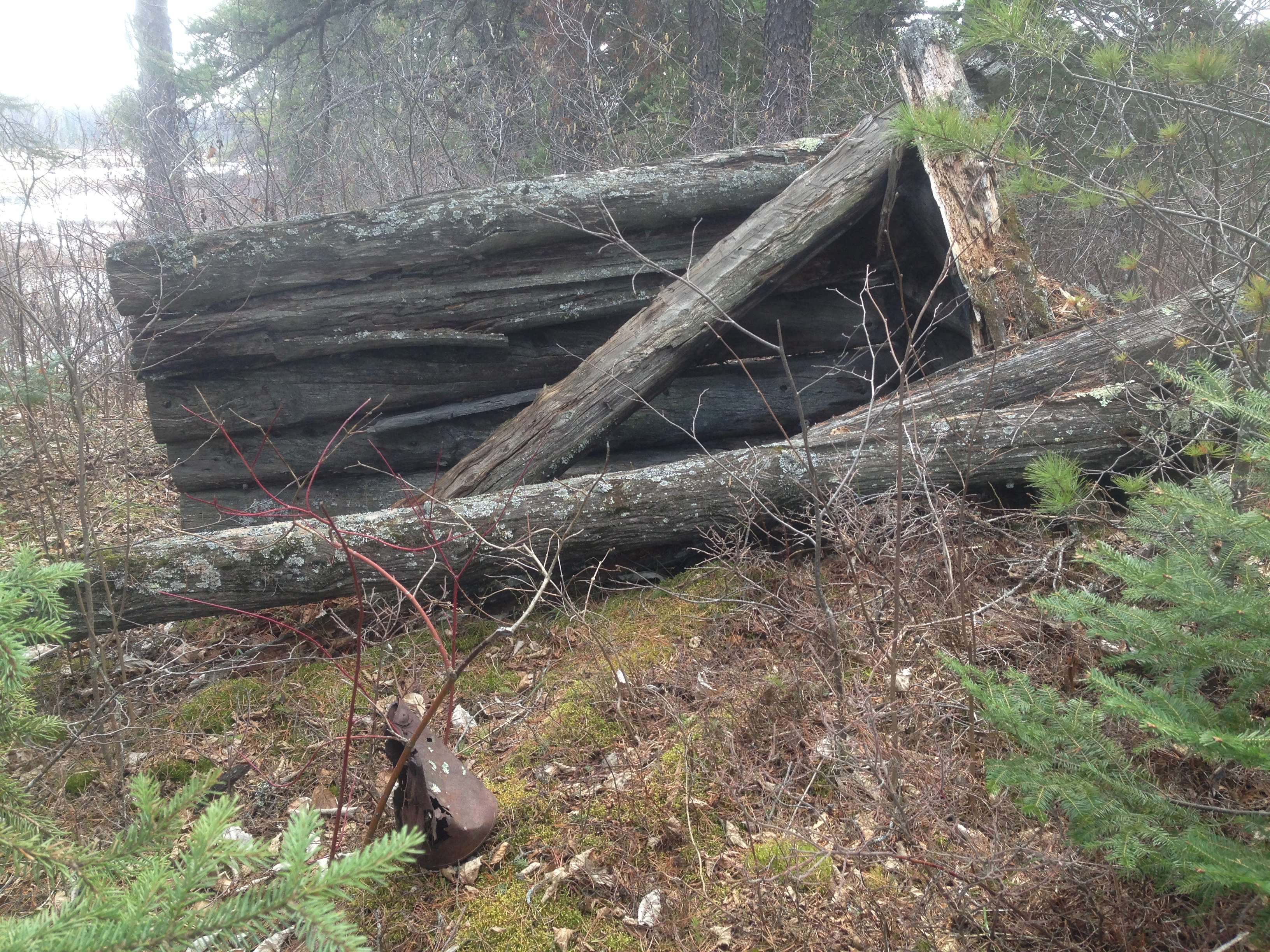
Exploring the shoreline before heading up Pagami Creek, remnants of an old log building and some kind of camp are discovered on the right shoreline of Lake One as you face the mouth of Pagami Creek. There are also some large iron rings set into some of the boulders along this part of the shoreline (May 17, 2014).
Looking upstream from the mouth of Pagami Creek at Lake One (June 14, 2021).
Similar to view above, but several years before and a bit earlier in the season (May 17, 2014).
This is the mouth of Pagami Creek in early September with low water. Compare to the view you had above which was in May (September 7, 2013).
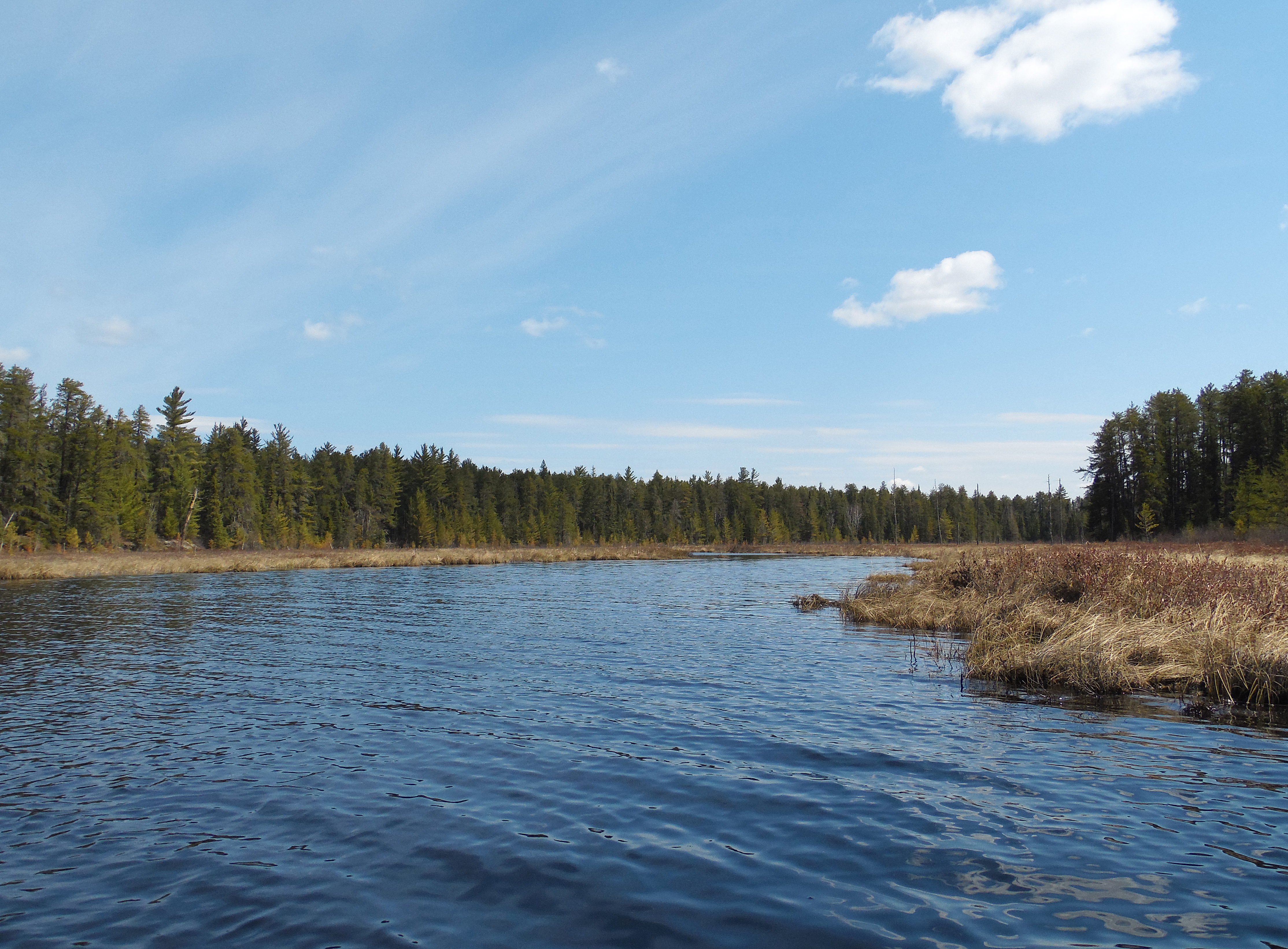
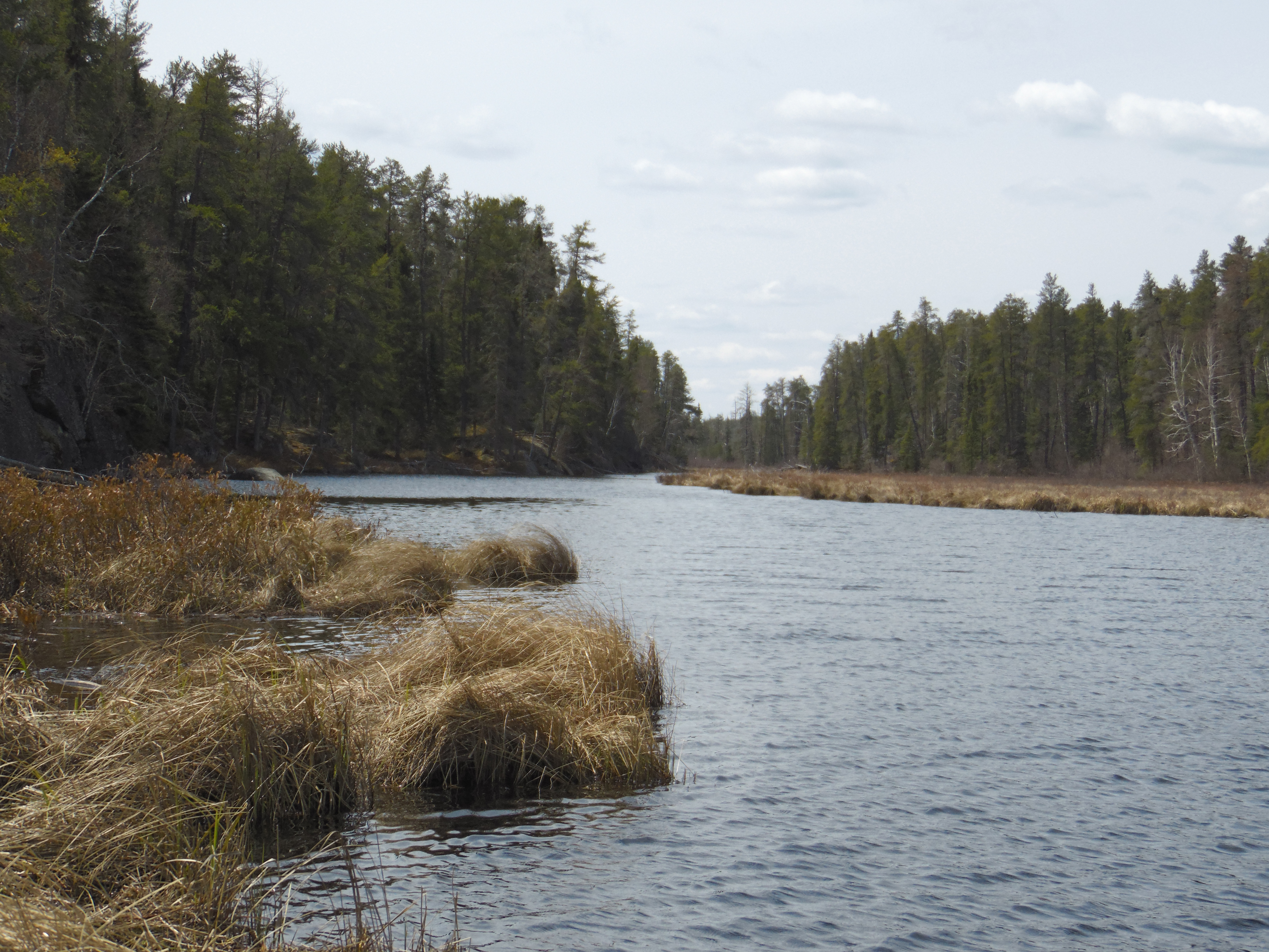
Paddling from Lake One upstream to where Weasel Creek drains into Pagami Creek (June 14, 2021).
This is older footage of the same stretch of Pagami Creek as shown above (May 17, 2014).
L
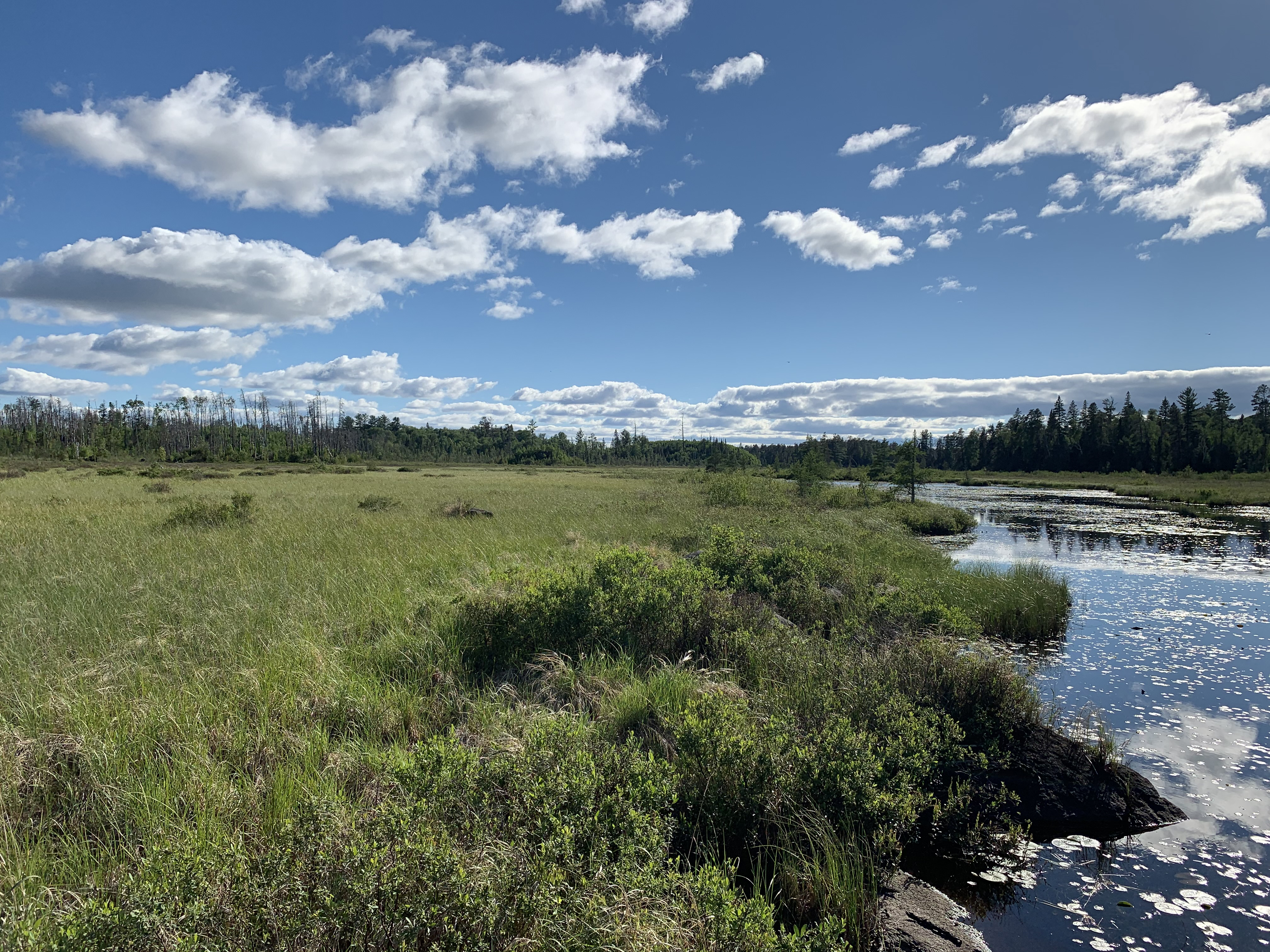
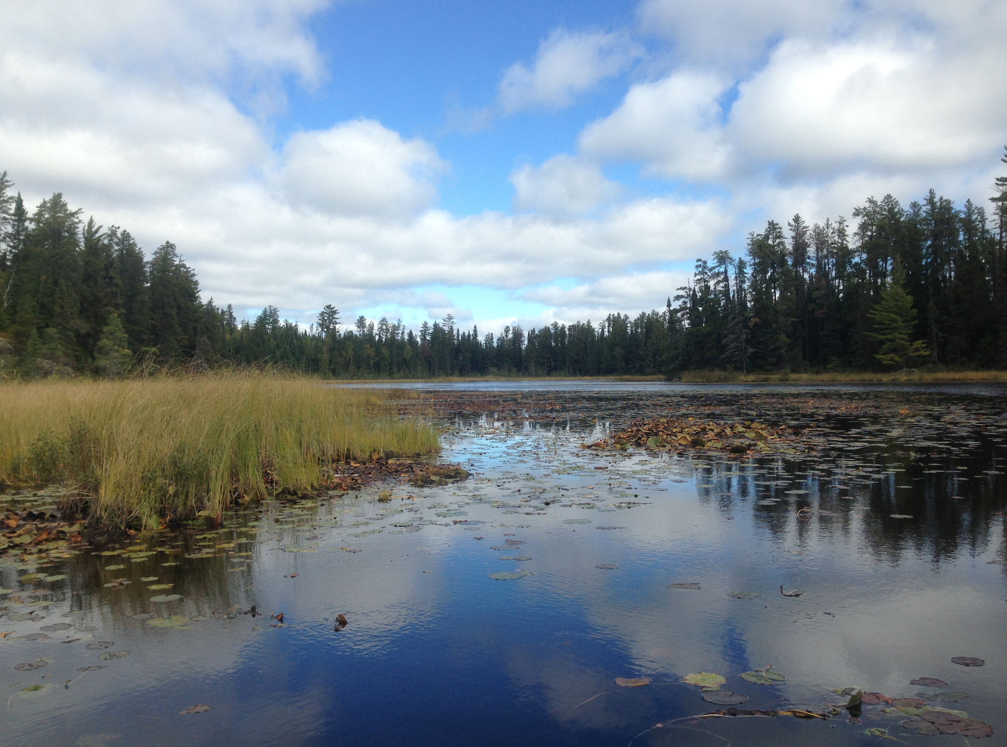
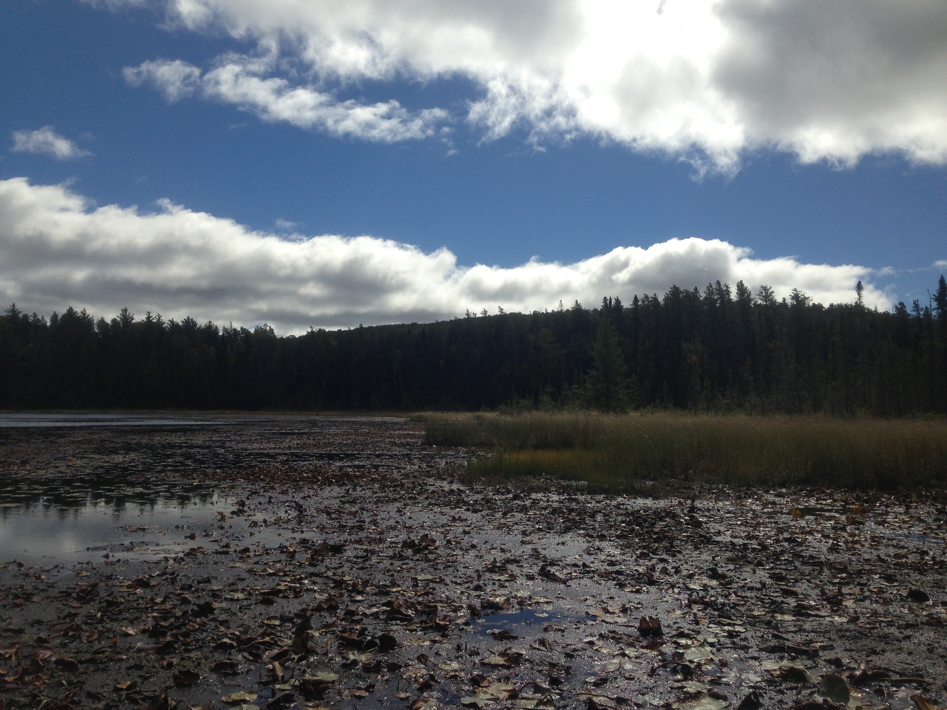
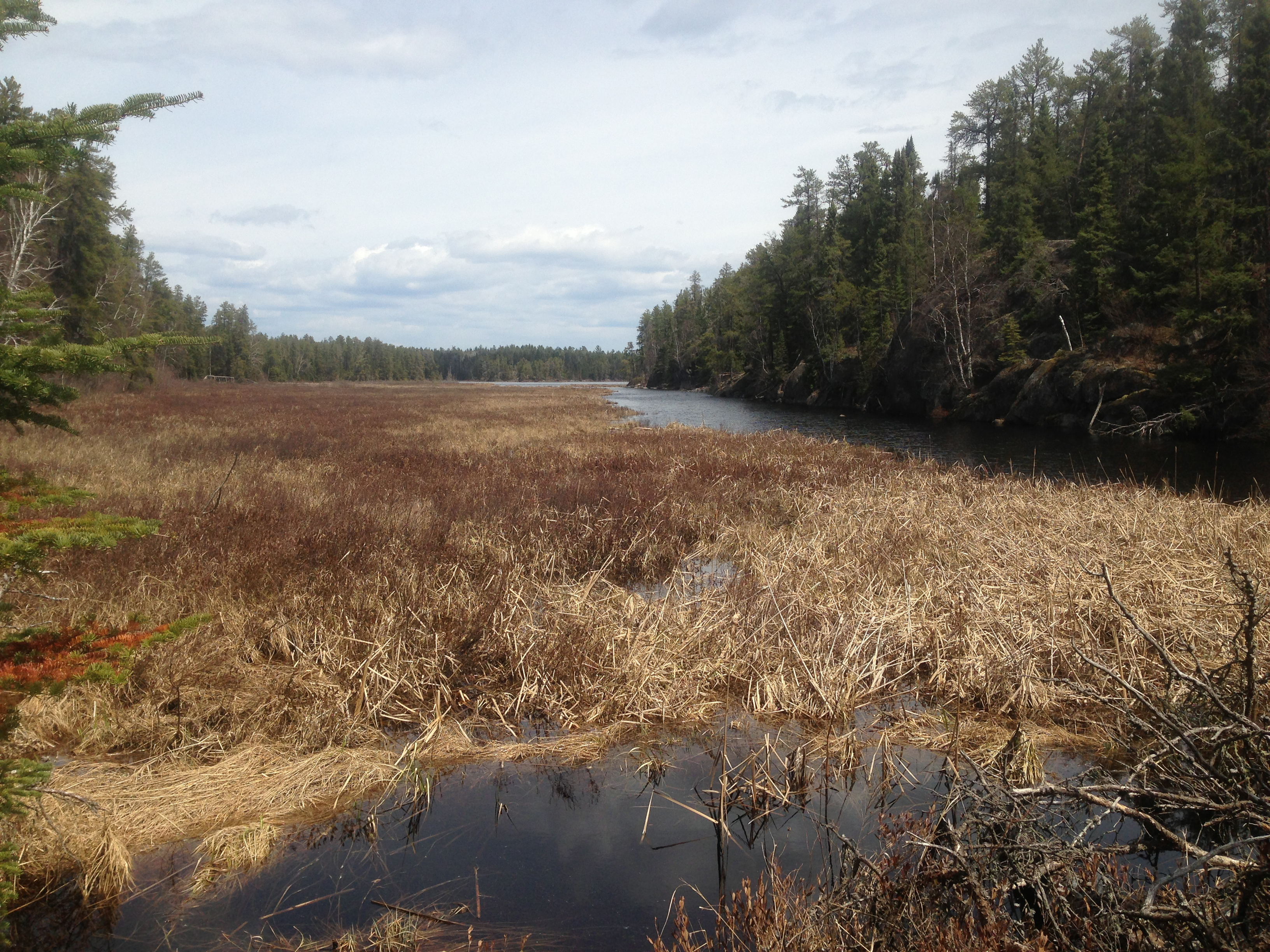
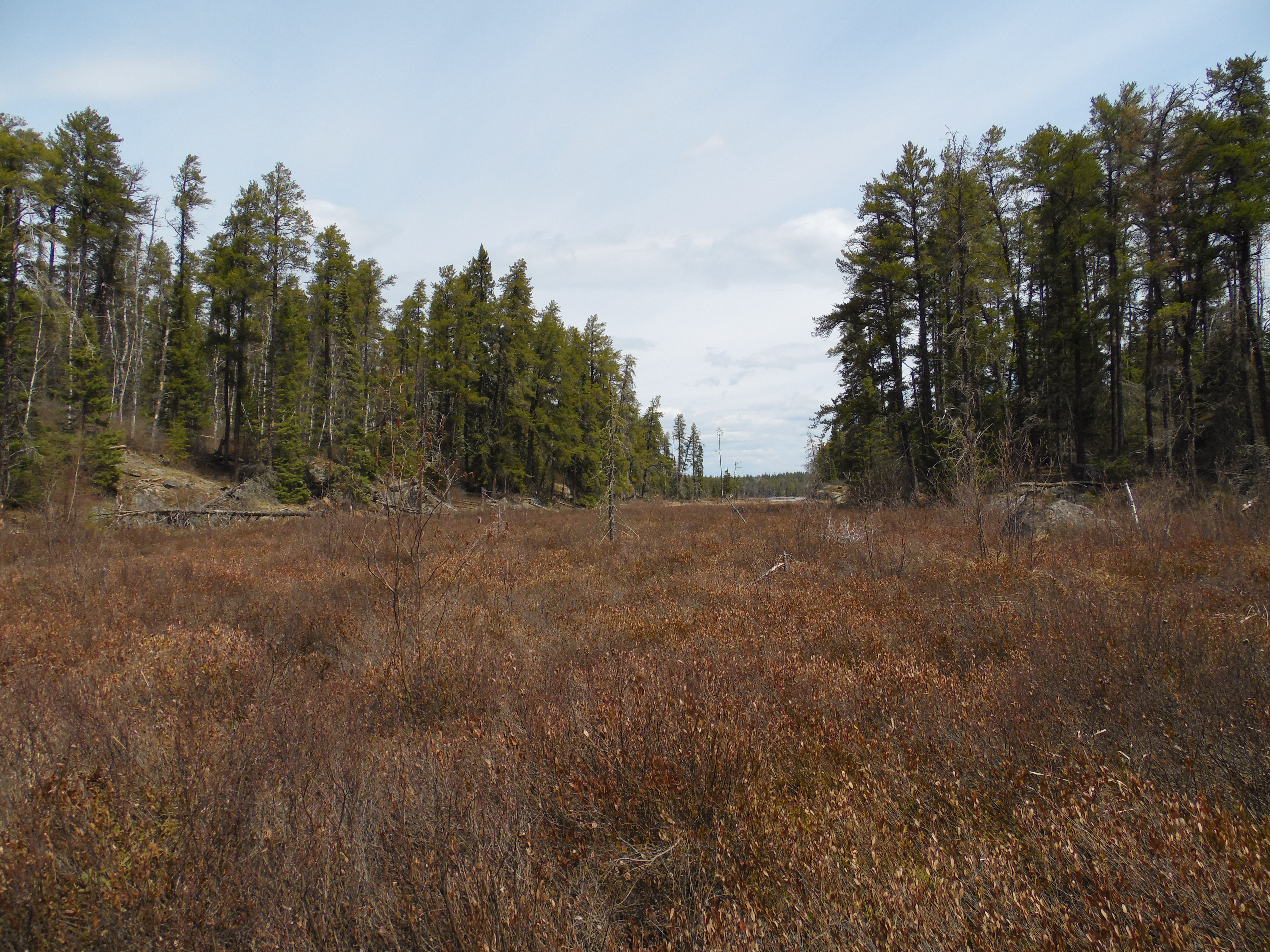
ower reaches of Pagami Creek. The creek is relatively wide here. There is no current to speak of. During the late summer, this area is choked with lily pads and is nearly impassable during low water (May 17, 2014).
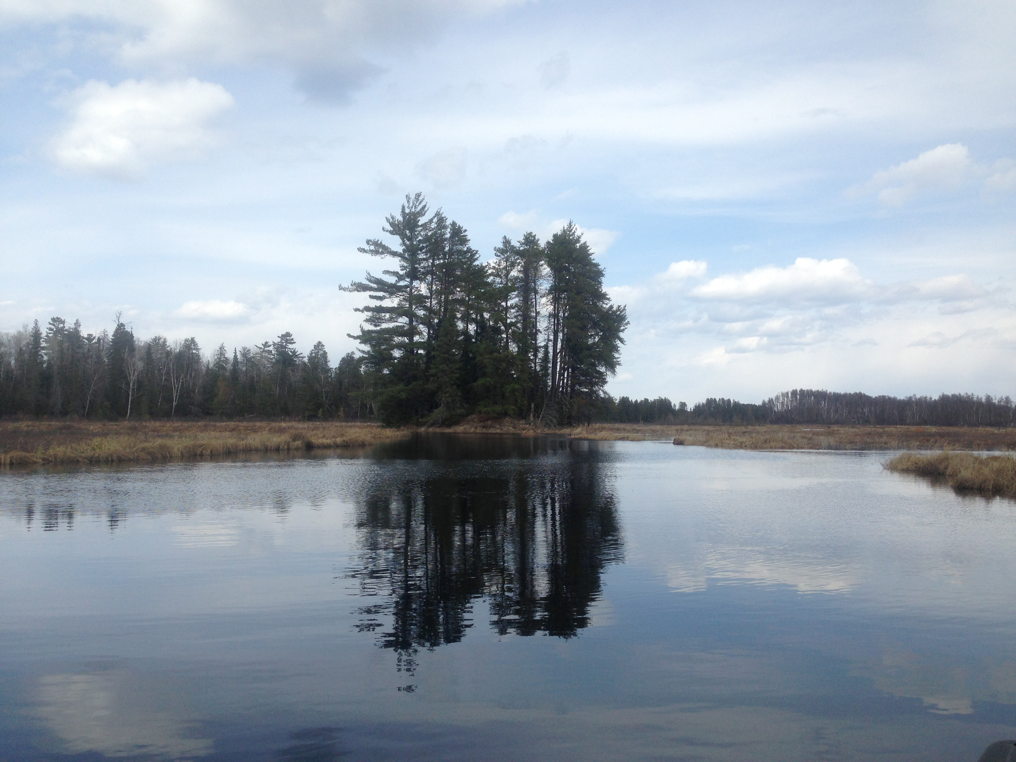
A tree studded island in the marsh (May 17, 2014).
Overlook of Pagami Creek. View upstream (June 14, 2021).
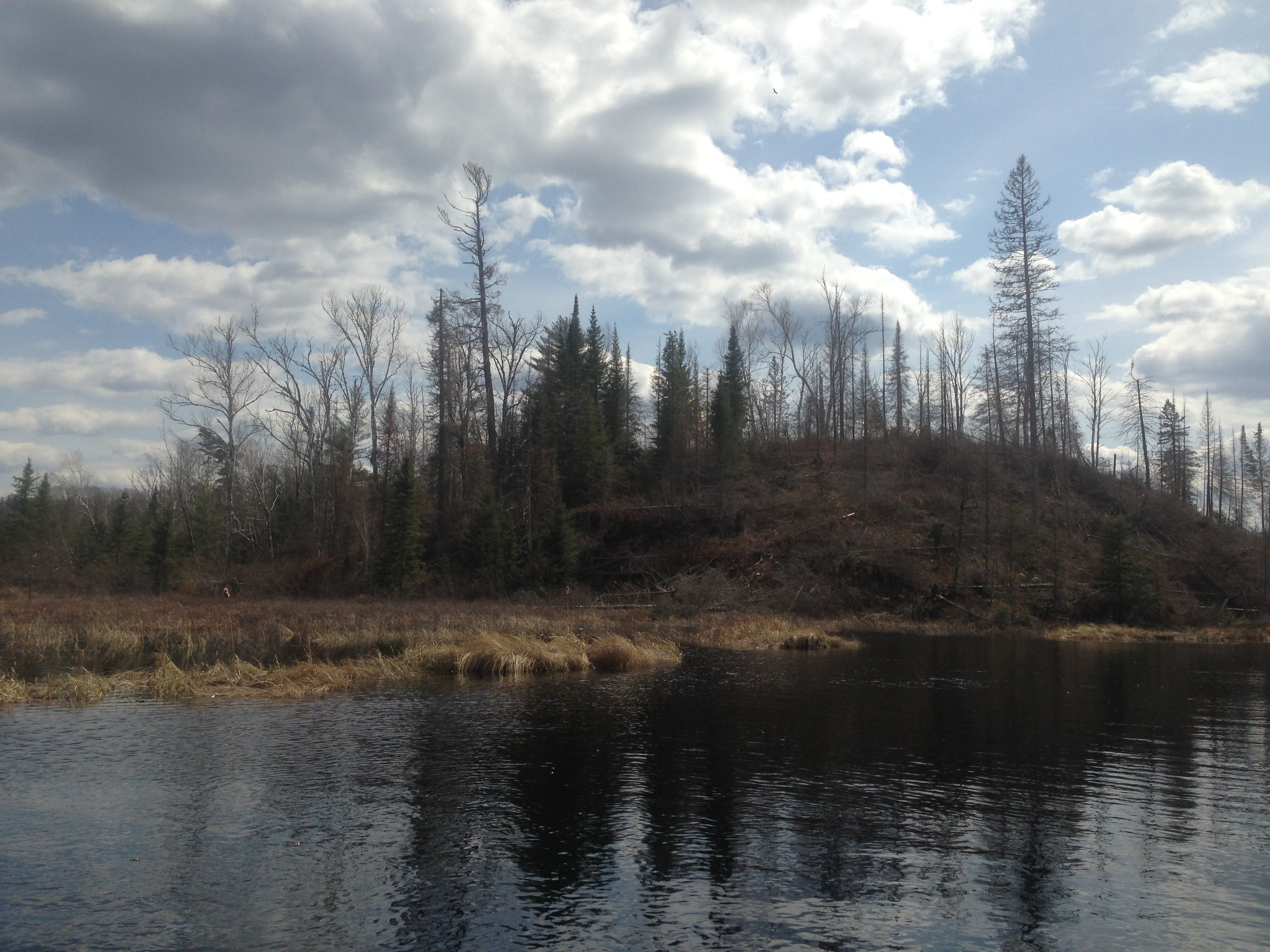
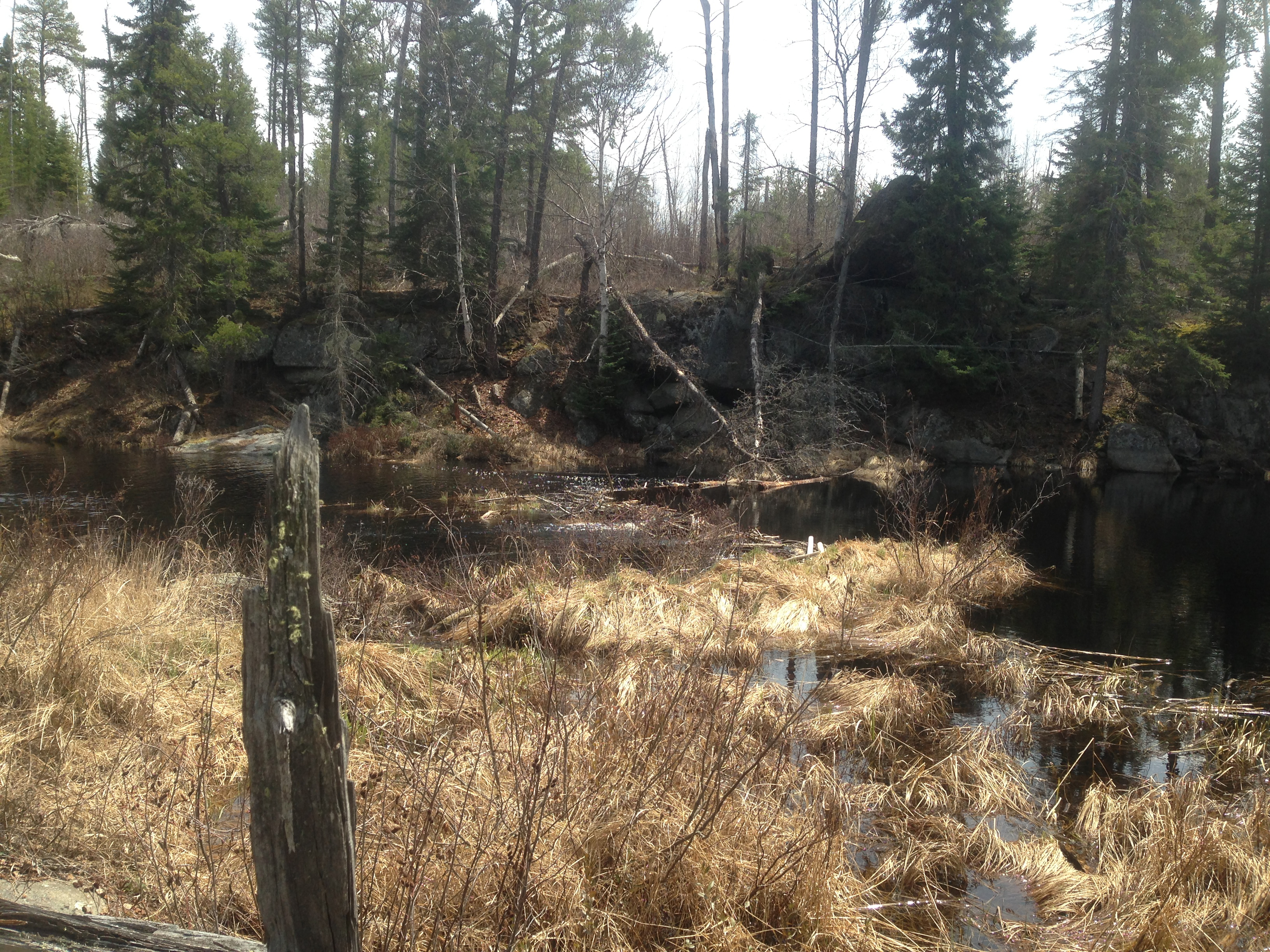
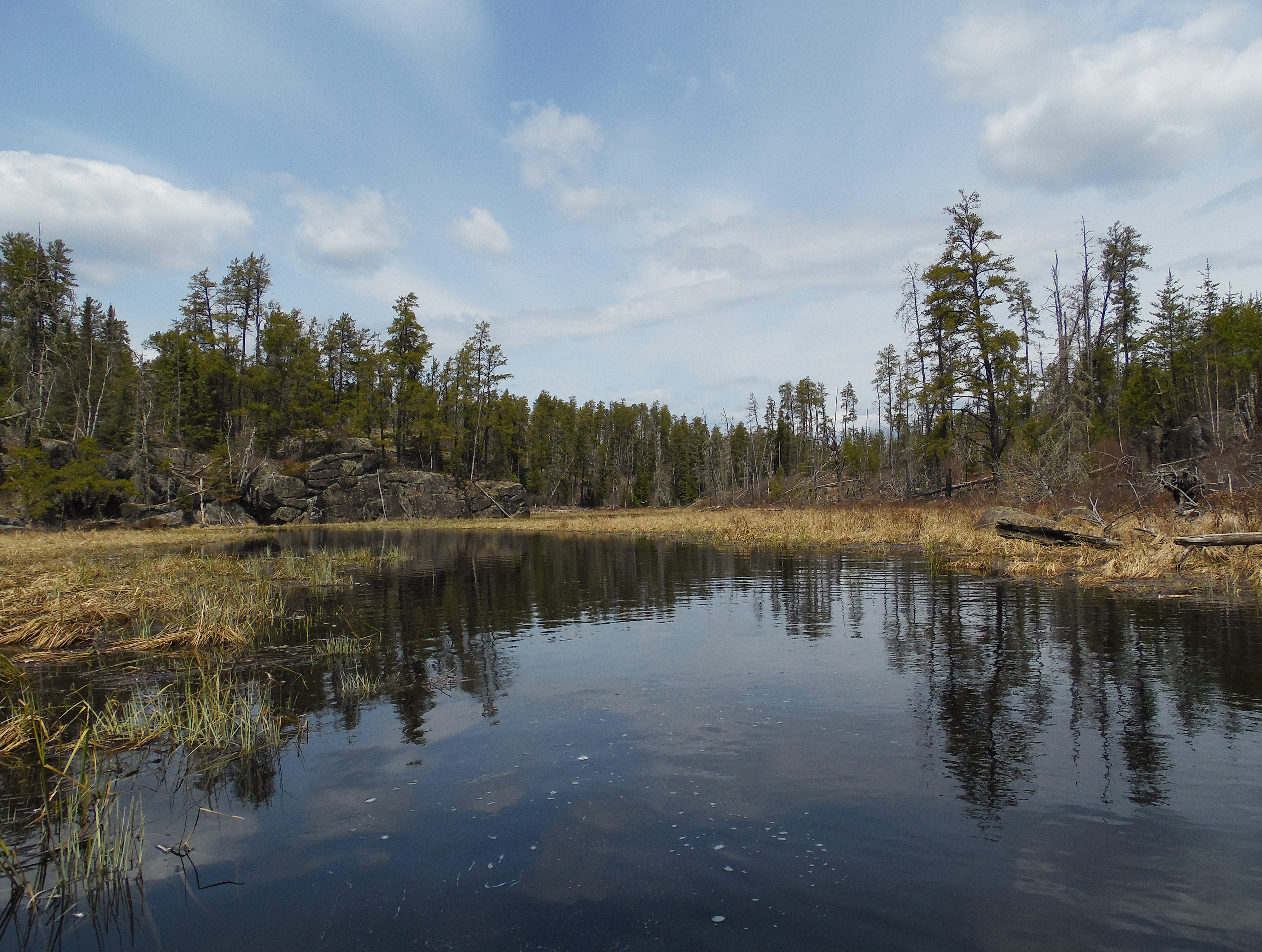
This view can be had by crawling up the hill that rises above the beaver dam that is almost always located here. This spot is right at the edge of the first signs of the 2011 Pagami Creek Fire, which at this point has burned the forest along the south side (left if heading upstream) of Pagami Creek (June 14, 2021).
A look at the beaver dam (June 14, 2021).
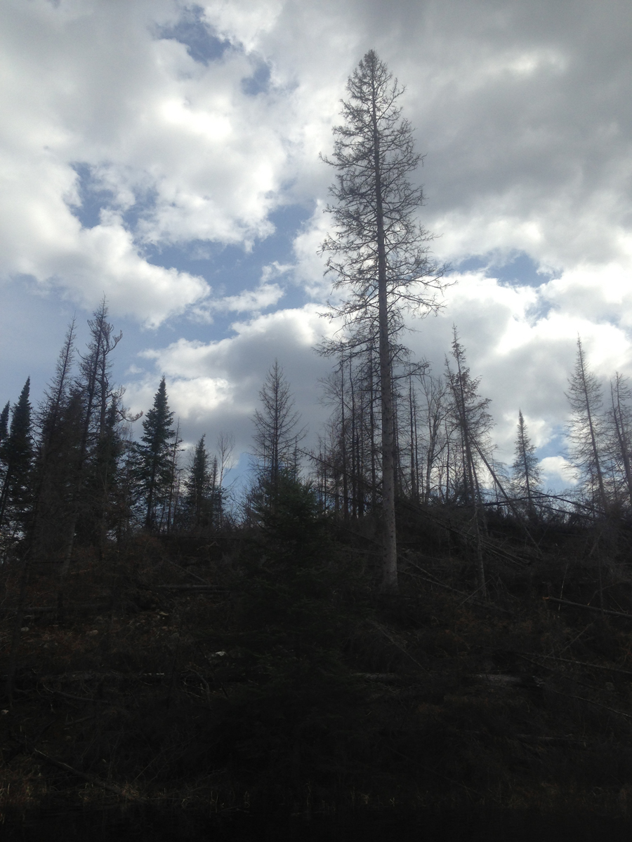
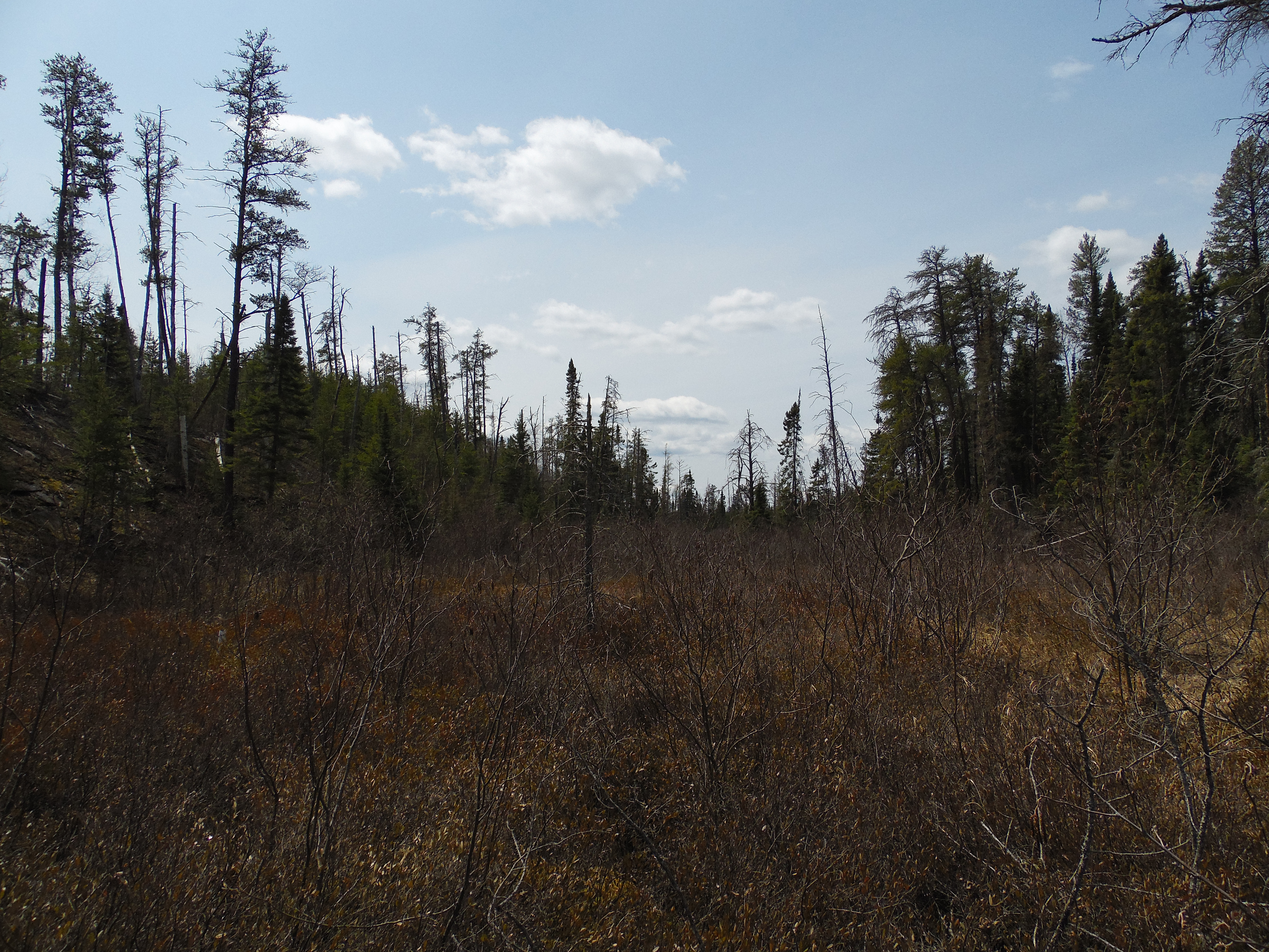
A hillock with stands of burned pine along the shoreline (May 17, 2014).
This tall, slender tree didn't escape the fire even though a number of trees around it did (May 17, 2014).
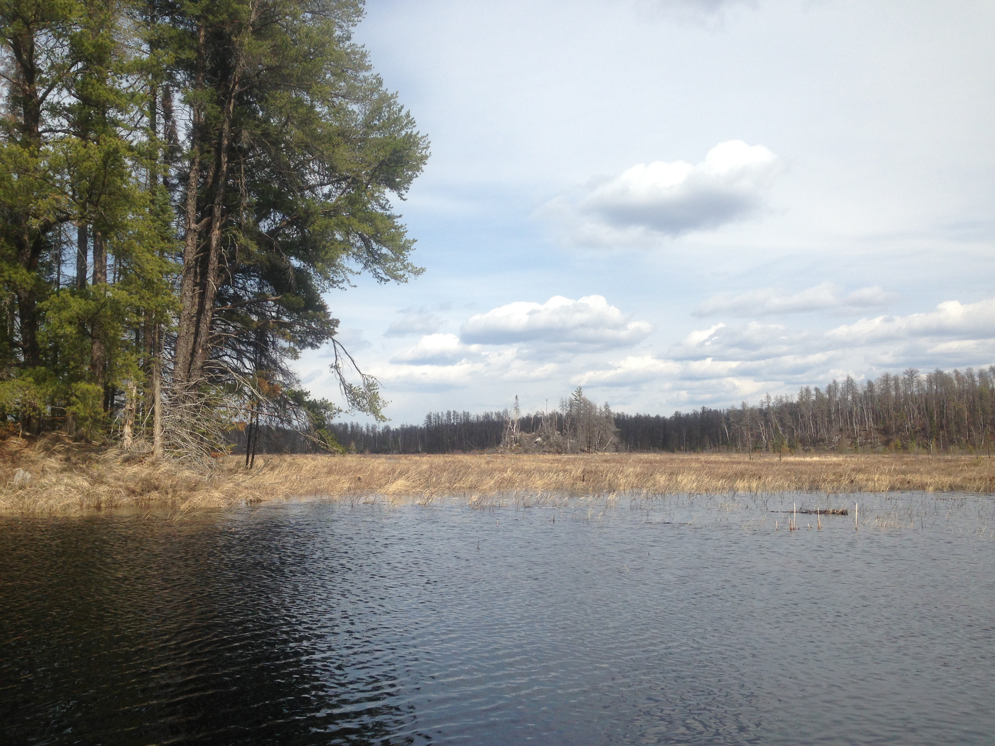
The island that you can see part of on your left, was far enough out in the marsh to avoid the flames. Another marsh island (in the distance, middle of view) was burned completely (May 17, 2014).
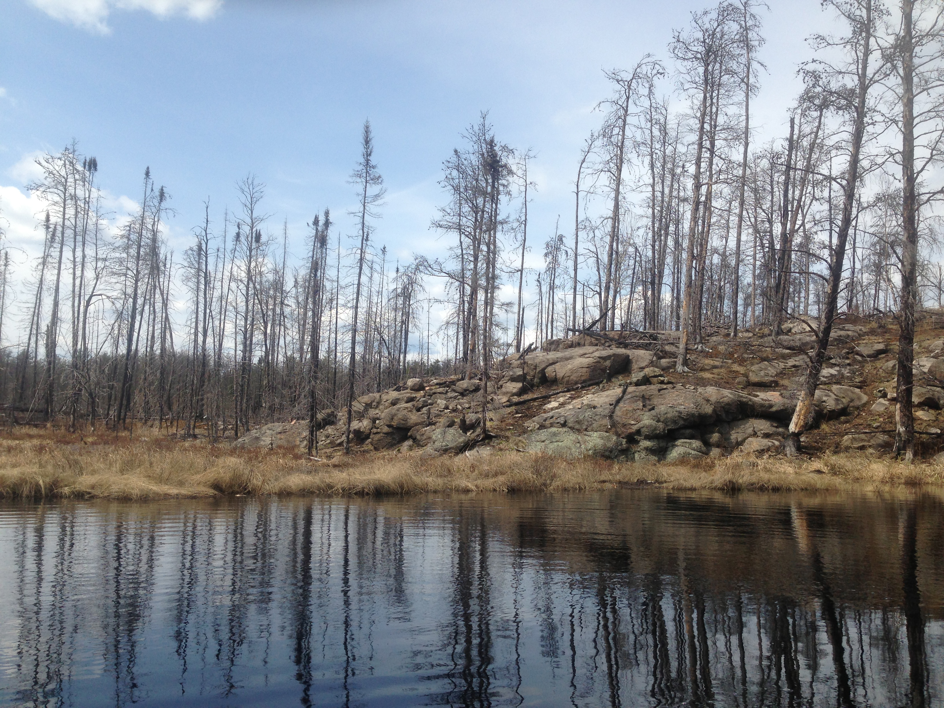
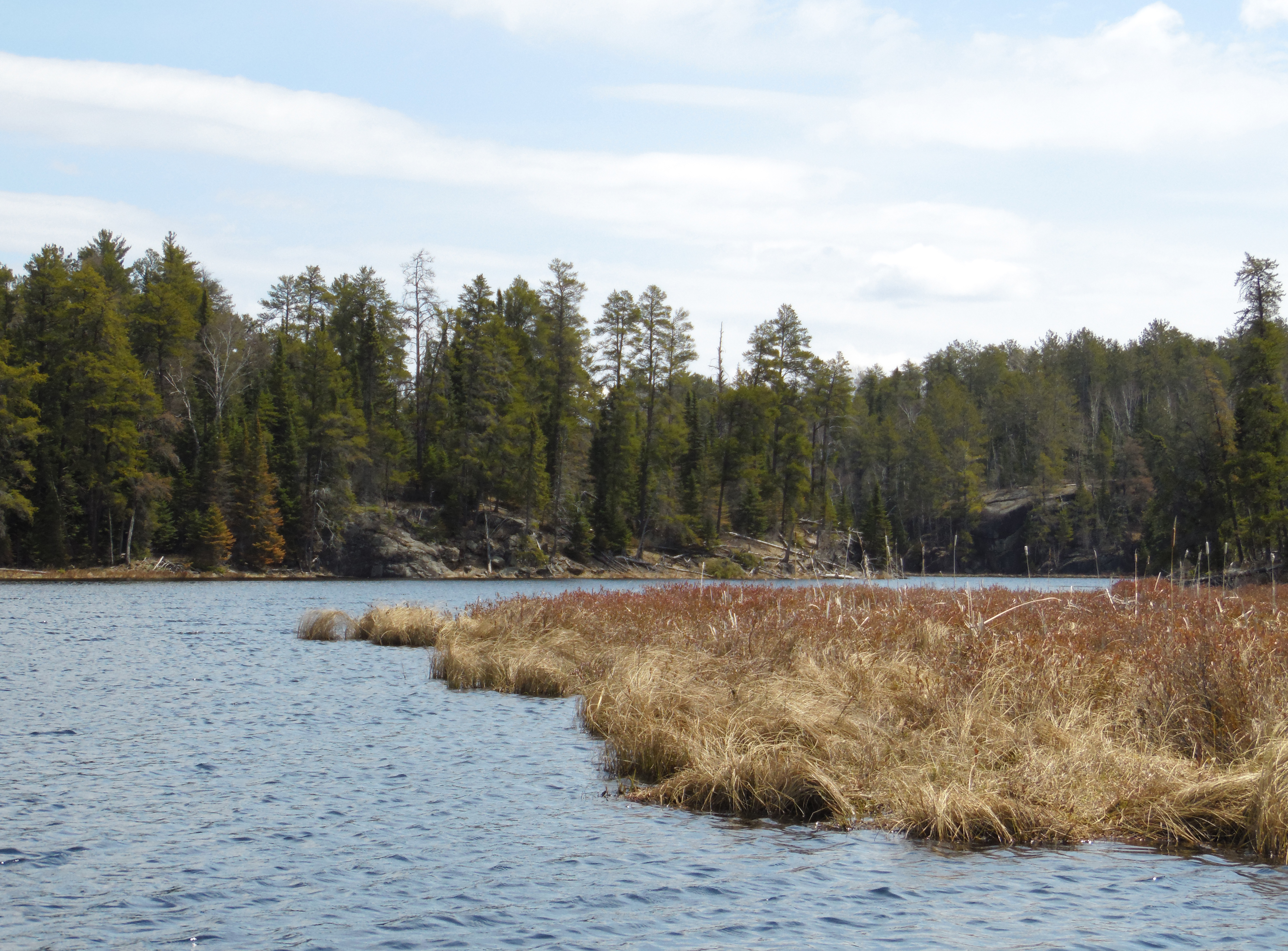
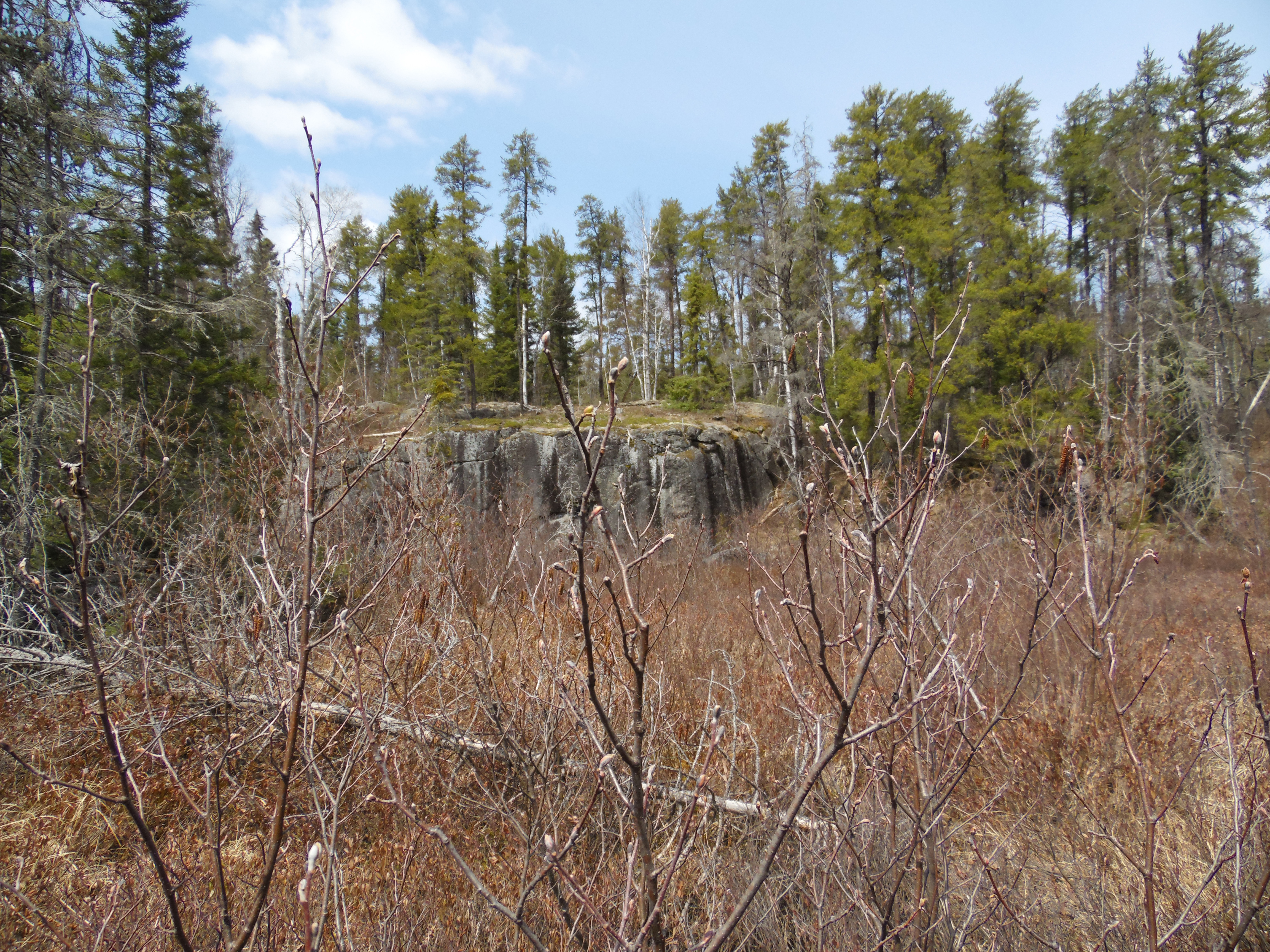
Near the ignition point of the 2011 Pagami Creek Fire. Fire started in the area several hundred feet behind these rocks to the west. The fire was started by lightning and smoldered for a number of days. High winds came along and allowed the fire to jump from the west side of Pagami Creek and spread eastward rapidly. It eventually burned around 100,000 acres (an area about 10% of the size of the entire BWCA) (May 17, 2014).
Continuing upstream from the mouth of Weasel Creek until you reach the north end of Pagami Lake (June 14, 2021).
Generally same video footage as above, but from several years ago (May 17, 2014).
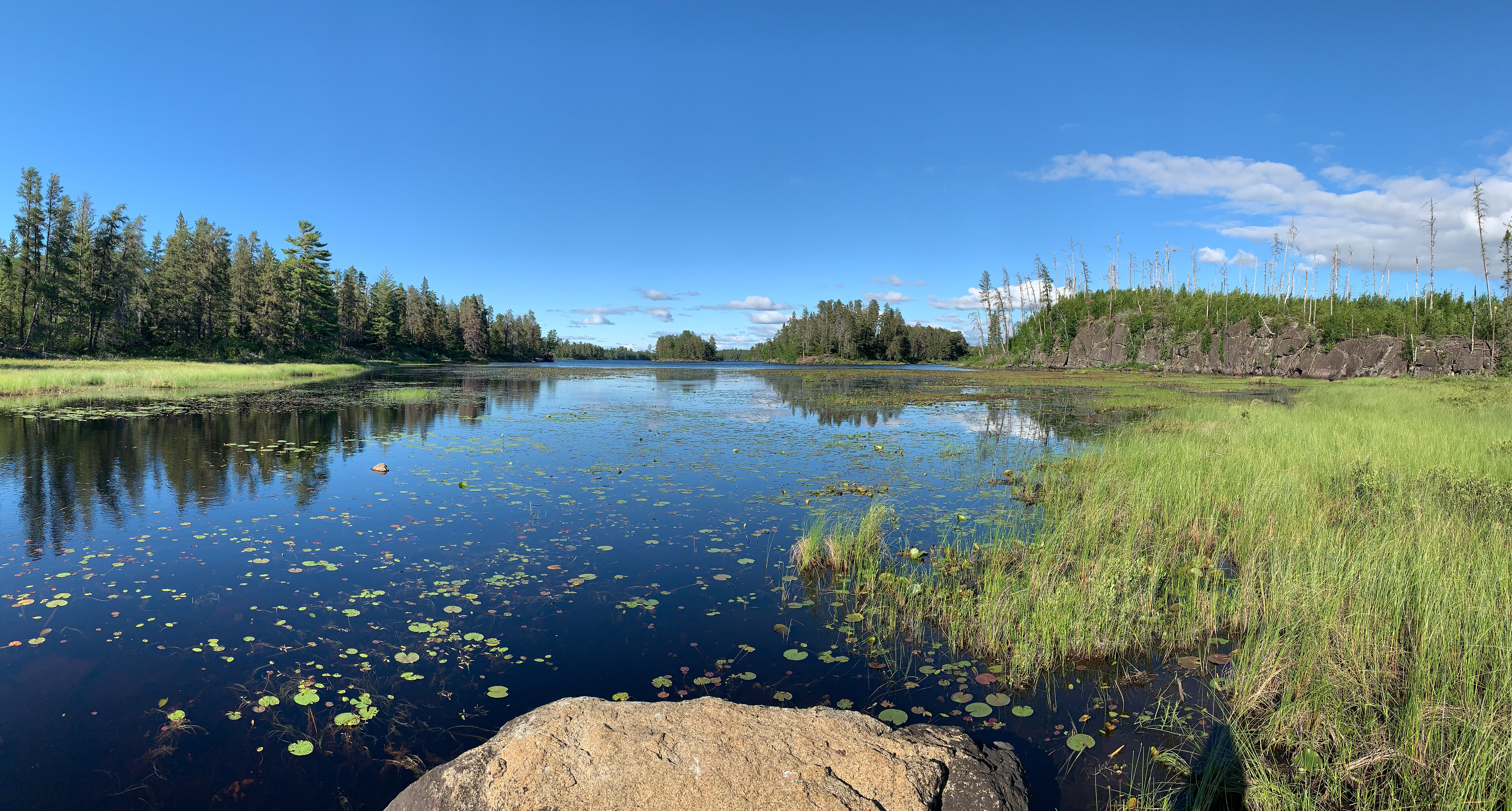
Pagami Creek flows through Pagami Lake. If you want to paddle across Pagami Lake before re-entering Pagami Creek, visit Pagami Lake now.
Continuing upstream (south) of Pagami Lake...
Looking upstream (generally south/southwest) at Pagami Creek from its mouth at Pagami Lake.
Looking back downstream from the beaver dam toward Pagami Lake which is visible in the far distance.
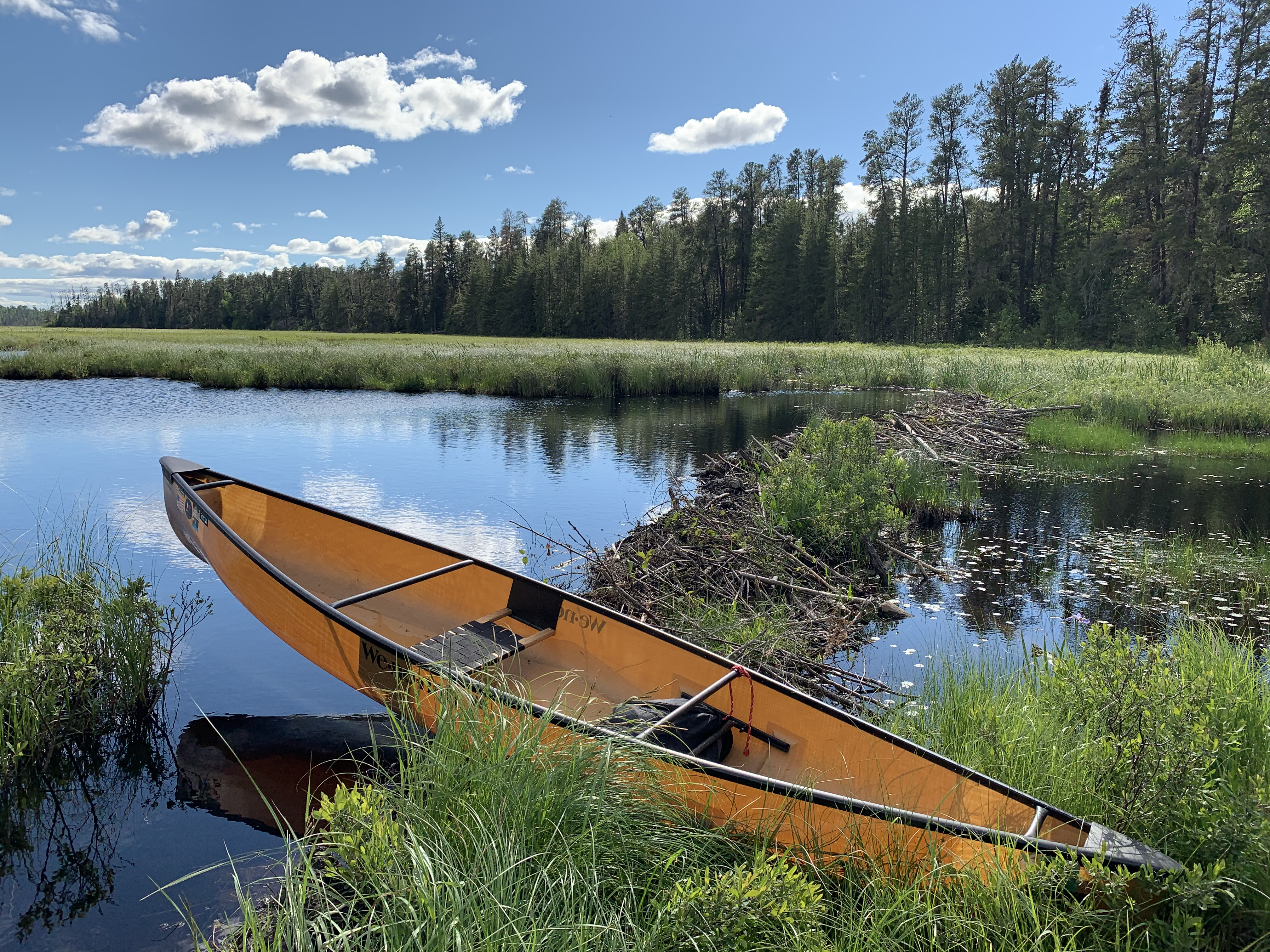
Getting around the small beaver dam. Easiest path was through the tall marsh grass along the shore.
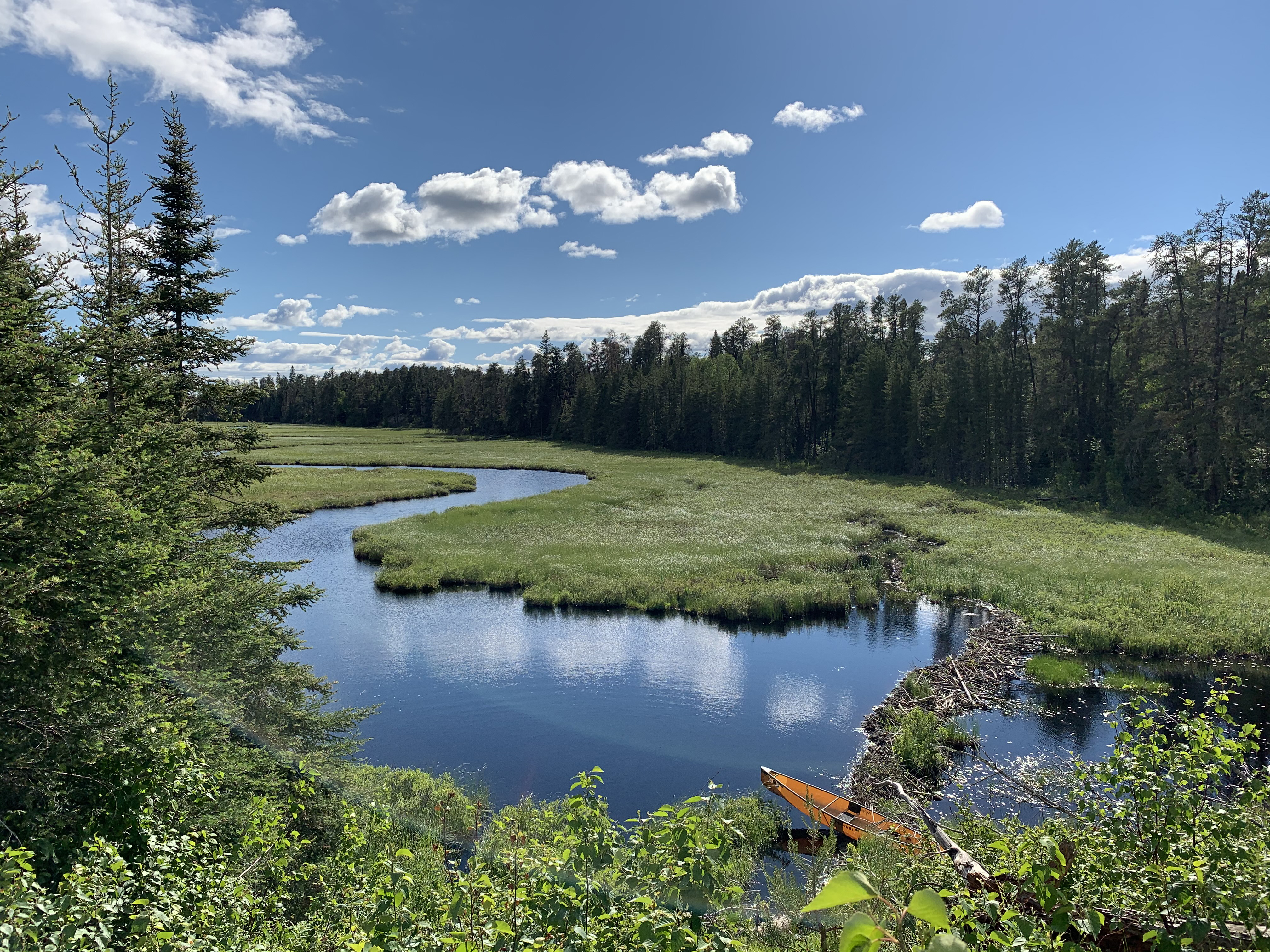
From the south end of Pagami Lake, paddling upstream until reaching the first rapids. You will likely have to negotiate a beaver dam (or two, or three) along the route.
Looking downstream (generally north). This is from about 300 feet downstream of the first rapids. The creek makes an 'S' turn here.
The next few images are taken from the bog that extends southwest from Pagami Creek where the creek turns from a southwest heading to a south heading about 400 feet downstream from the first rapids. It is just west of those rapids. This was a recon attempt for trying to get to Cortes Lake...
View of Pagami Creek shortly after entering the bog.
Looking to the southwest at a rock wall that was discouraging.
Looking back, Pagami Creek is now in the far distance. It's about 700 feet away from this position. Cortes Lake lies another 3,300 feet or so to the southwest and the going gets harder from here.
The view ahead, in the direction of Cortes Lake. This doesn't look promising so heading back. It appears that the better way to get to Cortes Lake is from the very northern tip of the arm of Gabbro Lake, by following a creek and through some open marshlands.
Enough bushwhacking, back to paddling the creek...
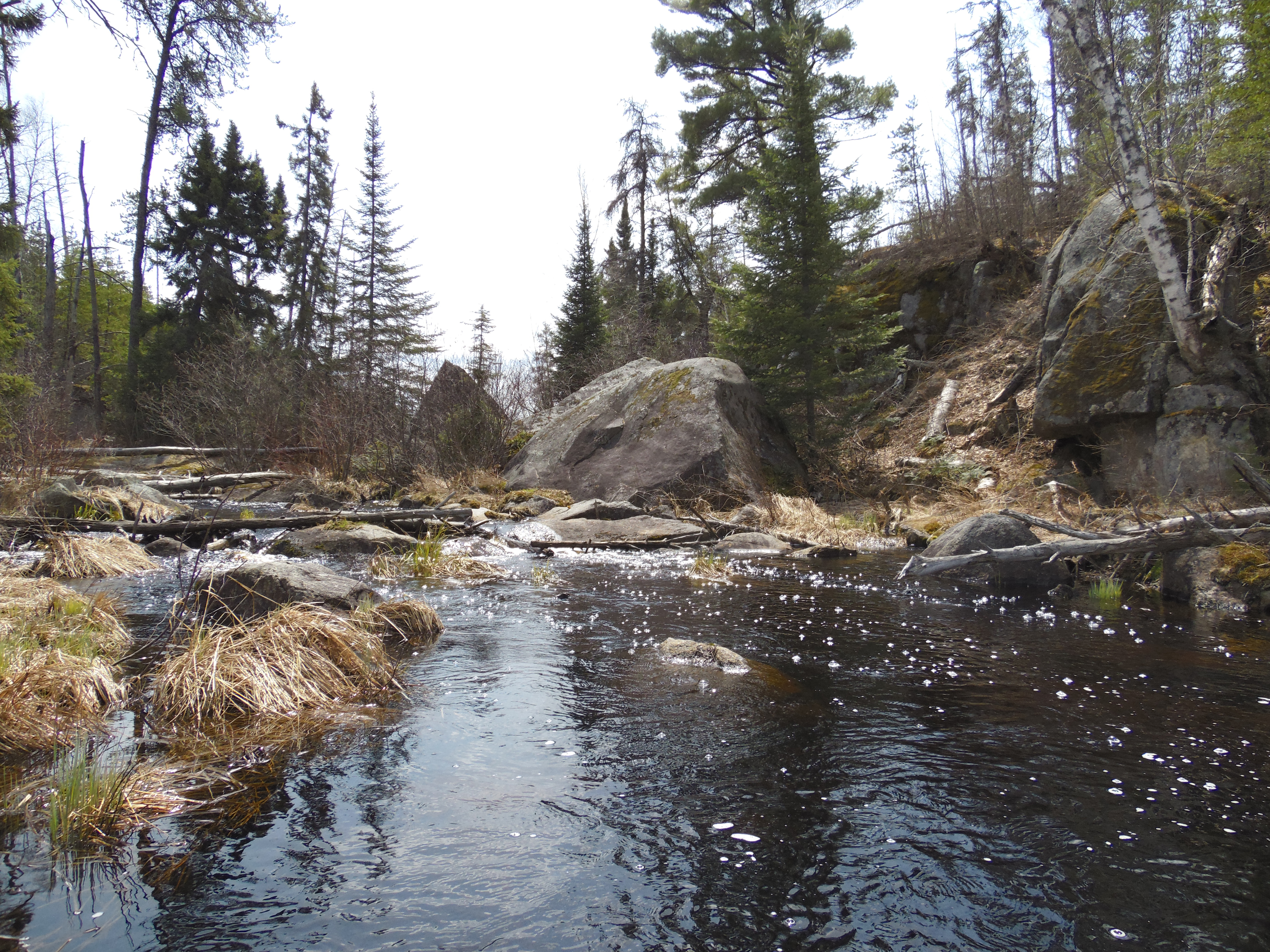
Peering downstream from just below the rapids on Pagami Creek.
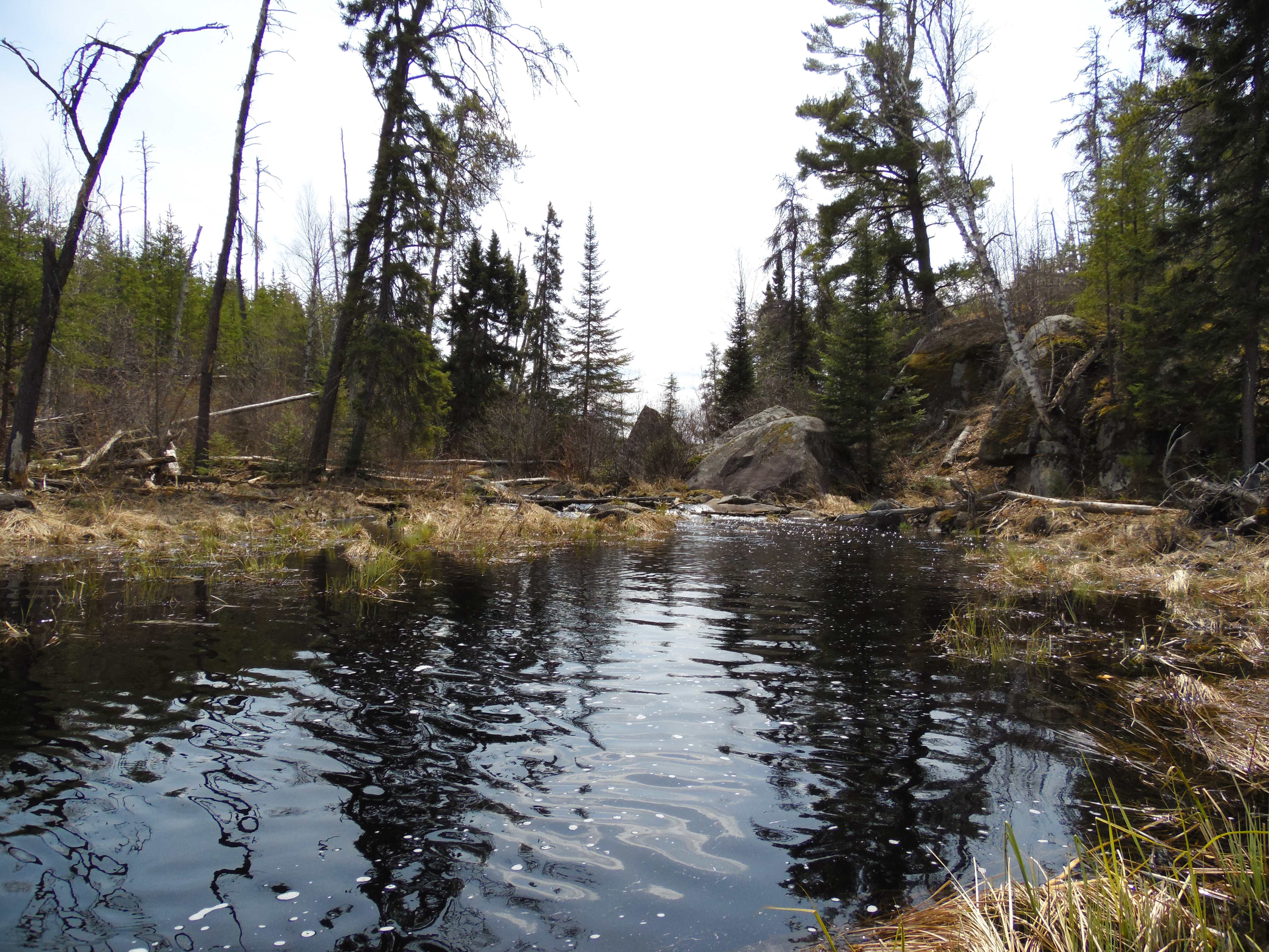
Approaching the rapids. This is about 1/3rd mile upstream from Pagami Lake.
This is the first set of rapids along Pagami Creek. Interesting pyramidal rock located here (visible just left of center in the background). You will have to bushwhack around these rapids as there is no portage here. It doesn't look pleasant with all the downed timber in the area. (Note that as of July 2016, this route is even more difficult because of a windstorm that occurred. Probably nearly impassable now.) After about 350 feet of bushwhacking, you should hit navigable water again. There appear to be two other short stretches of bushwhacking after this (three total) between Pagami Lake and Clearwater Lake. Probably a few beaver dams too. For most folks, this is as far as your going to get on Pagami Creek.
Traveling Pagami Creek (Downstream)
Paddling the creek from Pagami Lake to its mouth at Lake One. Some interesting activity to watch by several ducks while paddling along a good stretch of the creek. There are a couple beavers also making appearances.
Lake One from the location where Pagami Creek flows into the lake (June 14, 2021).