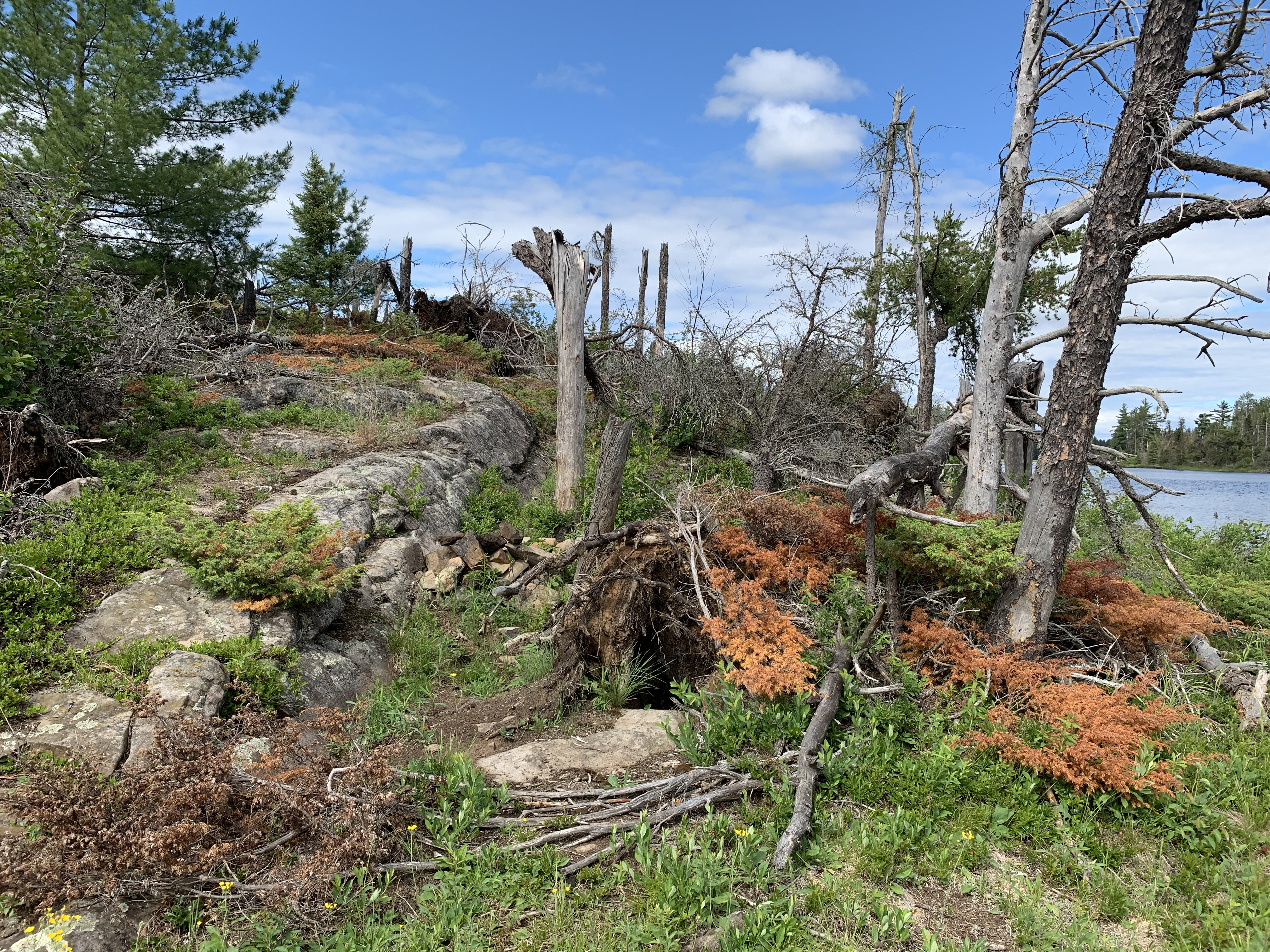
Update (June 14, 2021): This lake was heavily impacted by the July 2016 windstorm. The unmaintained but very functional campsite on the lakes island was mostly obliterated. Most of the trees on the island are now down. It's still a pretty lake, but it's character has changed quite a bit.
This area of the Weasel Lake PMA must be excellent moose habitat. All previous trips to Pagami Lake have resulted in moose sightings (except the June 14, 2021 trip - the moose habitat around this lake may have deteriorated because of all the fallen trees that were downed by the July 2016 windstorm - my opinion). There was also a lot of signs of moose activity along Pagami Creek and Weasel Creek (none seen on June 21, 2021 visit). Besides the moose, there are lots of ducks, loons and beavers swimming around Pagami Lake and Pagami Creek. Pagami Creek is also loaded with turtles; you will see lots of them out basking if it is a sunny, warm day.
There are plenty of northern pike in Pagami Lake.
Pagami Lake is easy to reach, but requires a fairly long paddle up Pagami Creek from Lake One. As long as there is adequate water, this is an easy paddle. You may encounter a beaver dam or two (or three) to lift over depending on how busy they have been.
A very difficult approach to Pagami Lake is from the south, by starting at Clearwater Lake and paddling downstream on Pagami Creek. This route may be impassable now given the blowdown from the July 2016 windstorm.
From the very southwestern tip of Pagami Creek a marsh extends into the forest in the general direction of Cortes Lake. Have attempted the bushwhack to Cortes Lake by trying that route, but gave up as there are many rocky ridges that are very difficult to get over or around. Another possible approach into seldom visited Cortes Lake, is perhaps from Gabbro Lake.
In 1894 a fire affected this area. This fire started somewhere near Gabbro Lake and burned from Gabbro Lake up to Lake One, Lake Two and Lake Three.
Click on the photos below to see the full resolution image - Use your browsers back button to close photo and return to this page.
The entire approach to Pagami Lake is by paddling Pagami Creek from either Lake One or Clearwater Lake (may no longer be possible).
Bushwhack to Pagami Lake
The bushwhack into Pagami Lake is done by paddling Pagami Creek. The easier direction by far is coming upstream from Lake One. It "may" also possible to come downstream from Clearwater Lake.
Exploring Pagami Lake
These images/video are from June 14, 2021 - contrast with the images (scroll down) taken before the windstorm
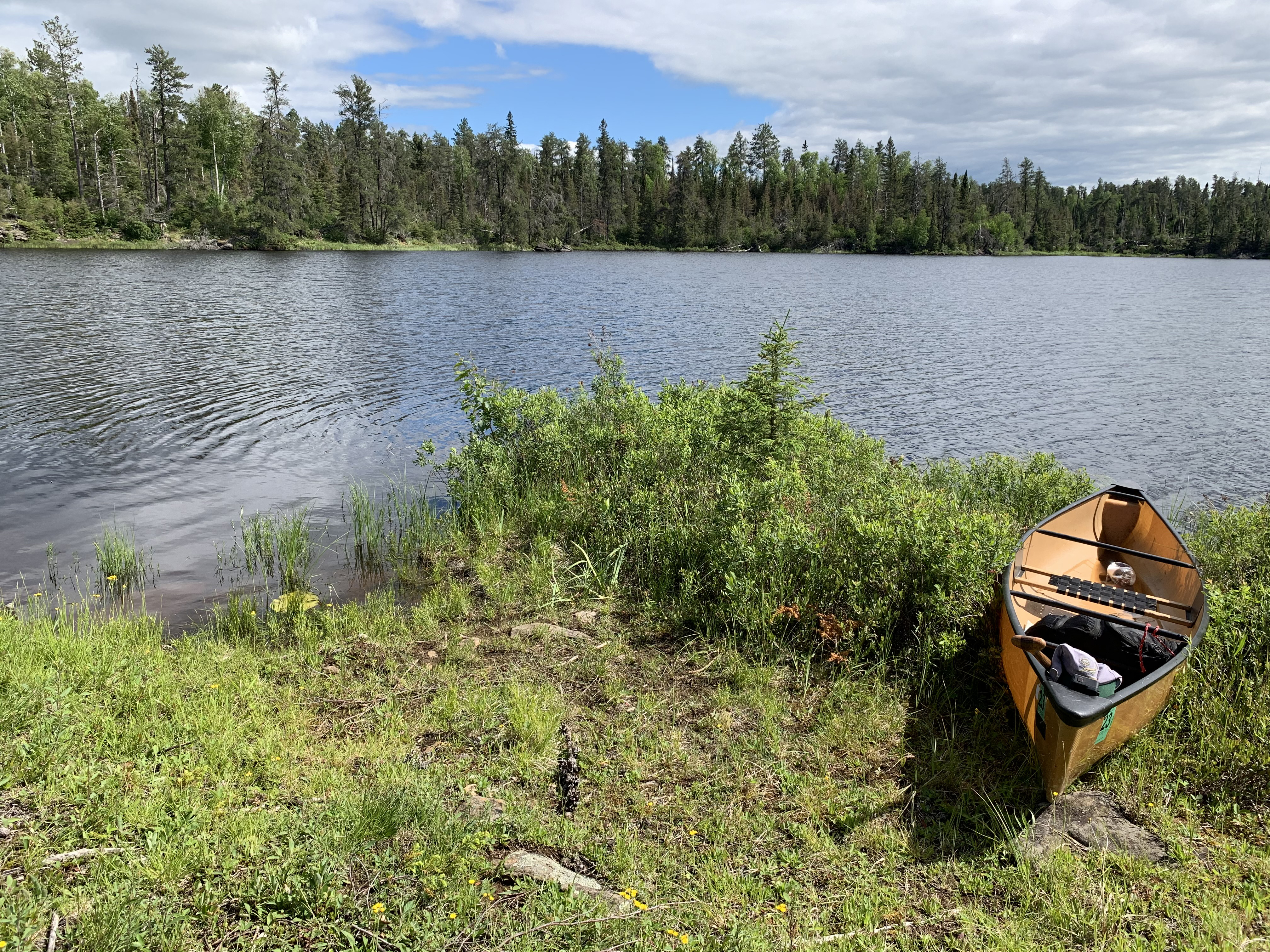
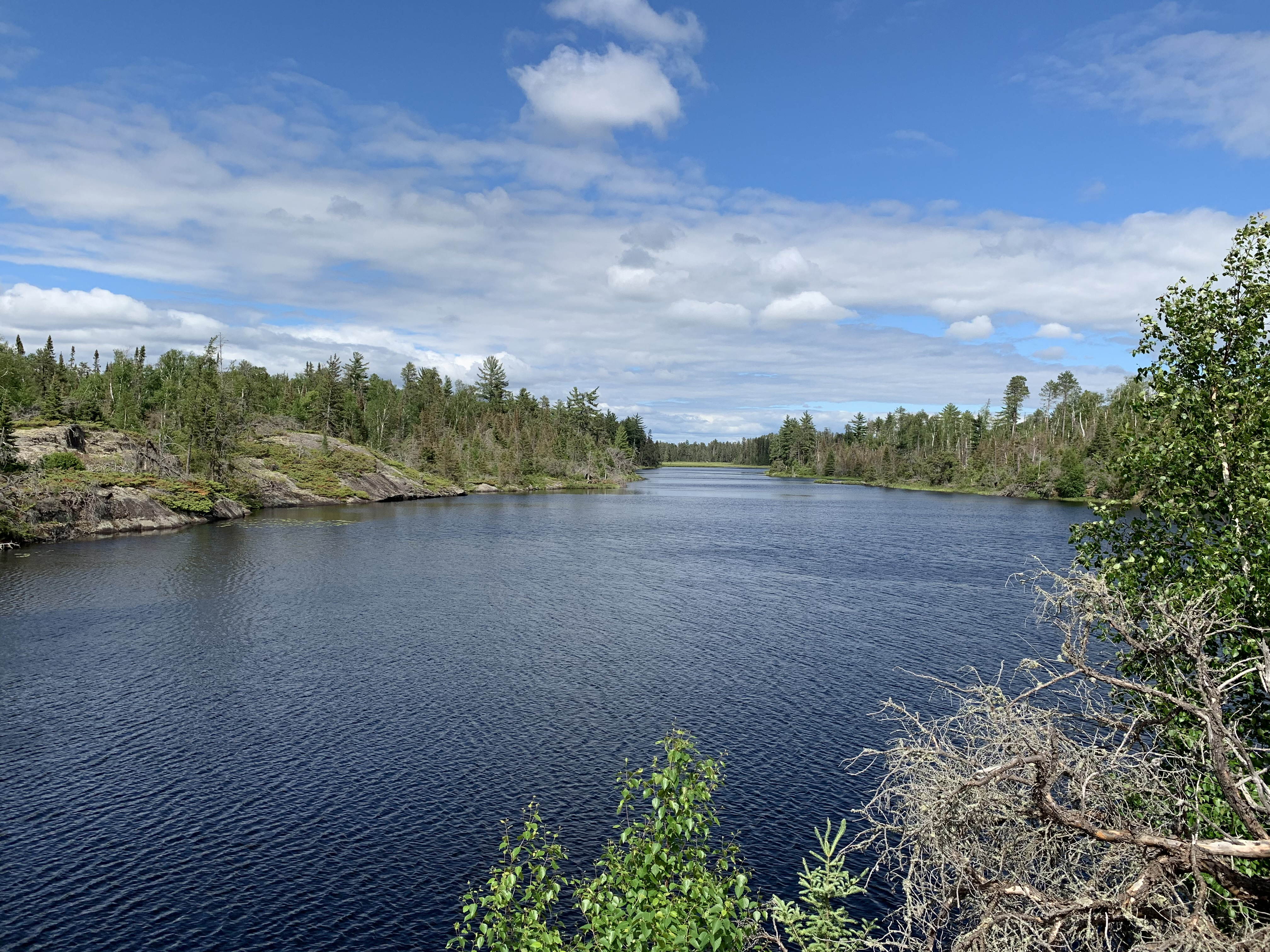
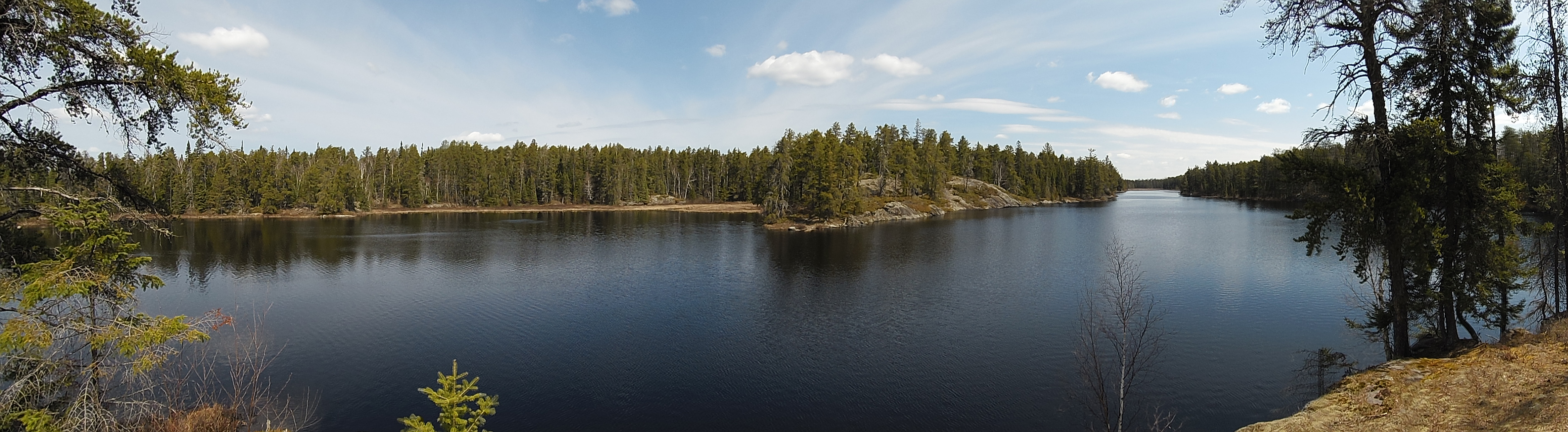
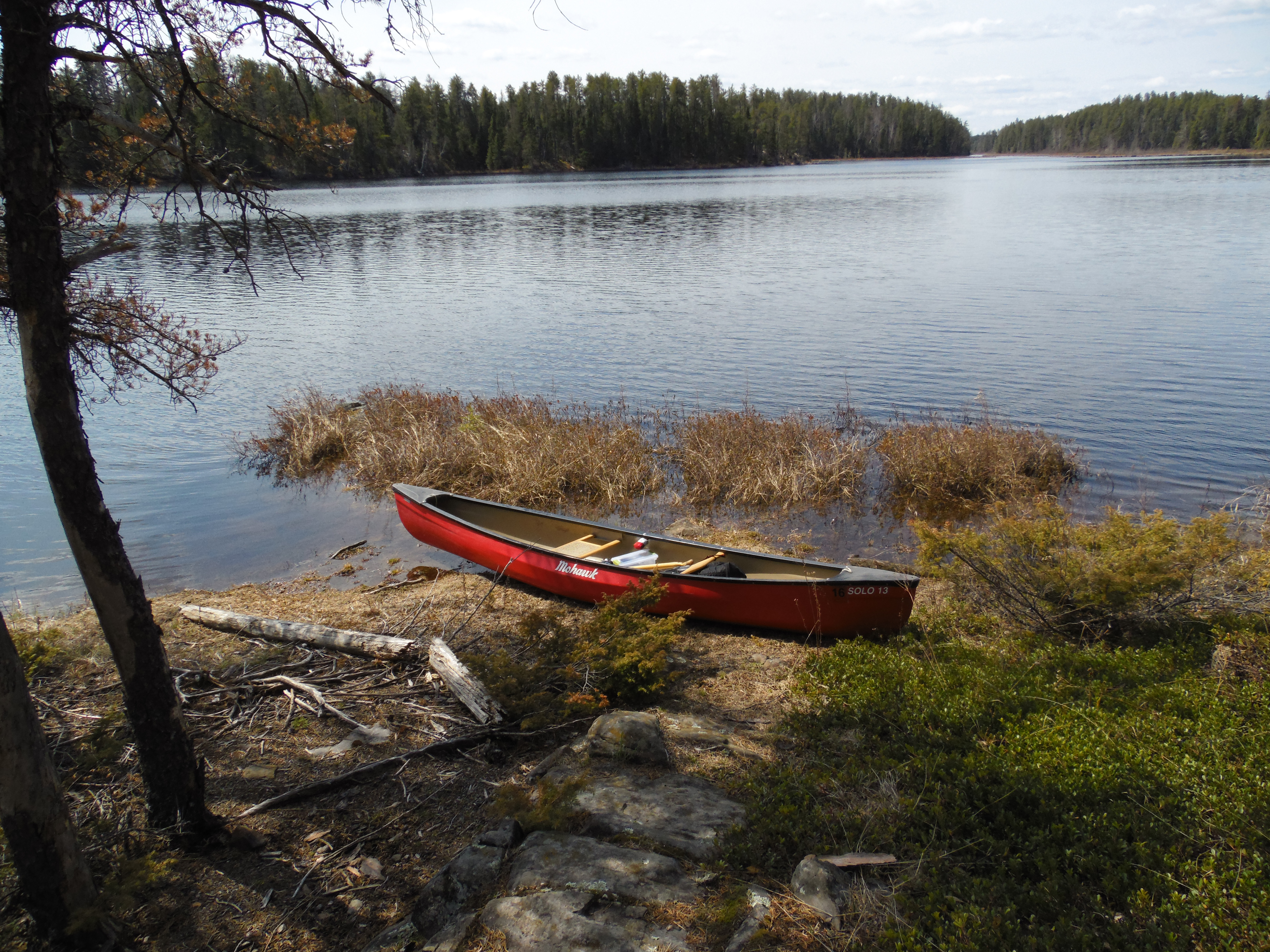
Paddling around the entire perimeter of Pagami Lake, starting at the Pagami Creek outlet and proceeding counterclockwise. Make two stops at the lakes island (June 14, 2021).
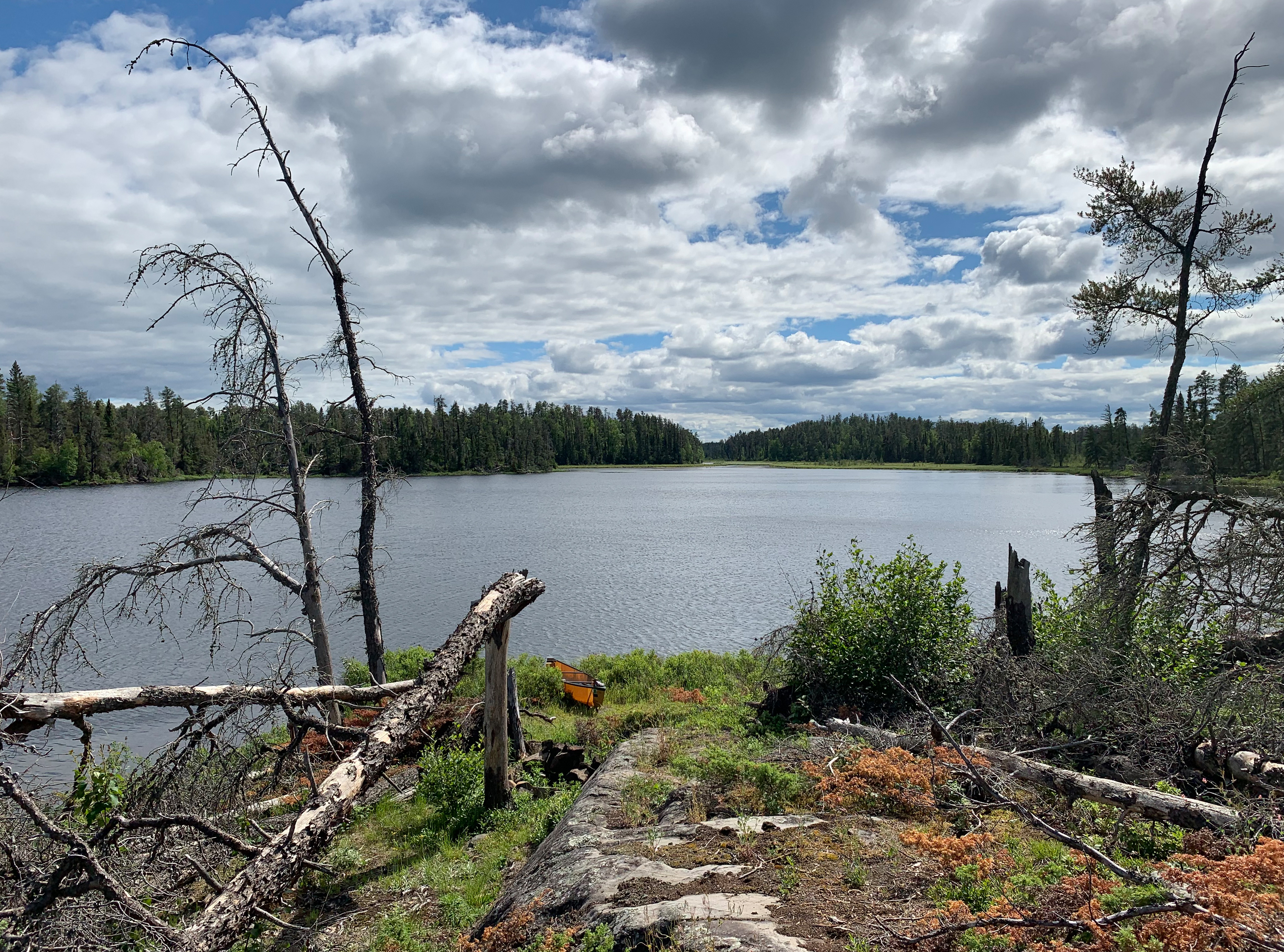
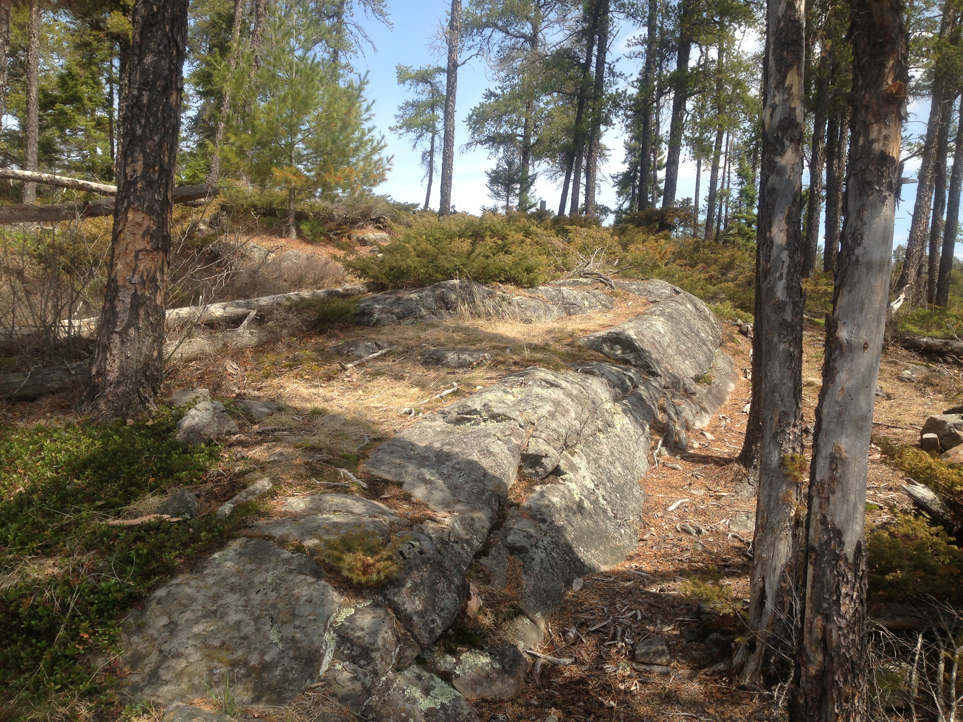
The canoe landing on the south end of the island. View is to the southeast (June 14, 2021).
View looking up the slope on the island from the canoe landing. The easiest canoe landing is on the south tip of the island (June 14, 2021).
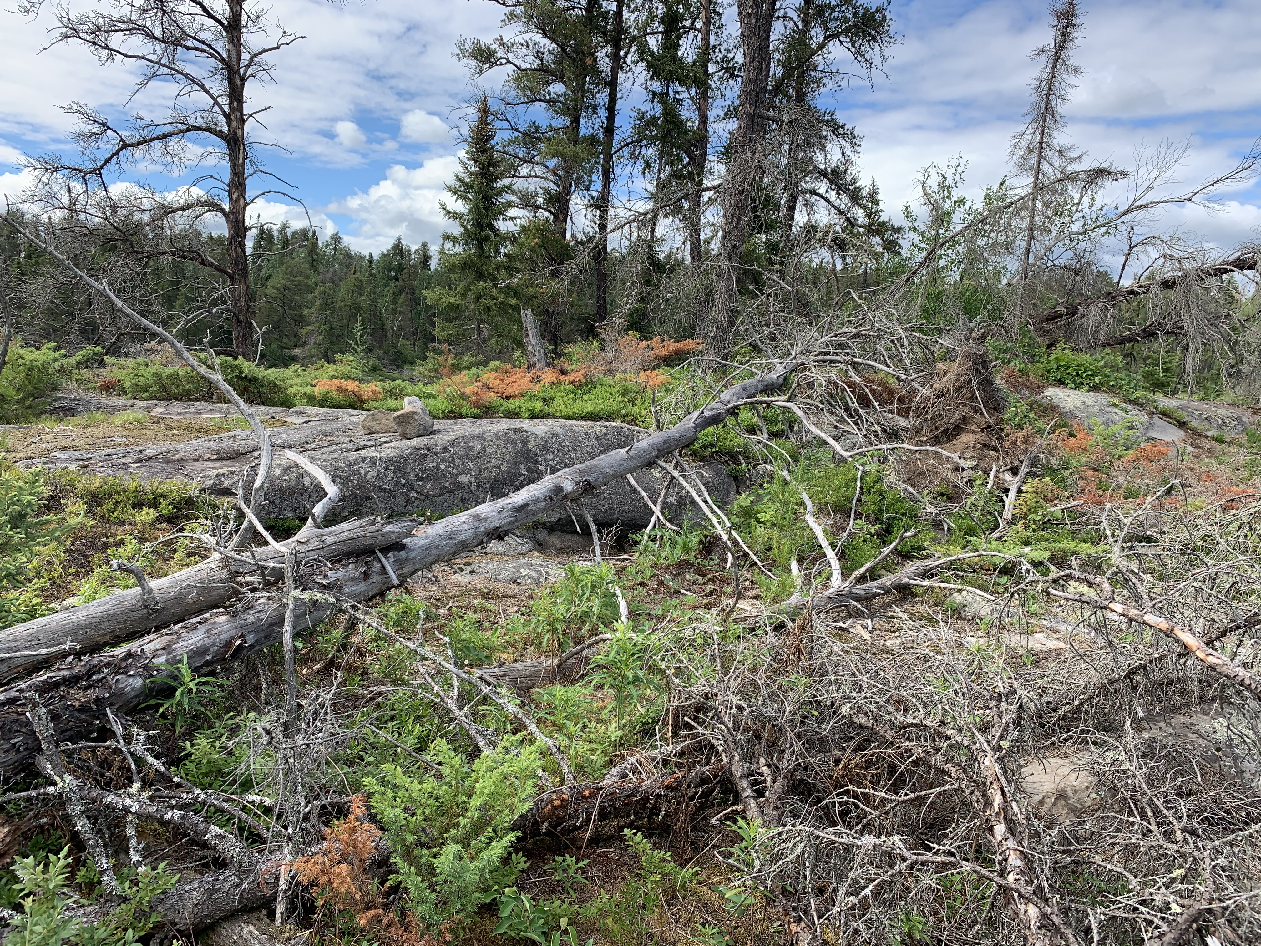
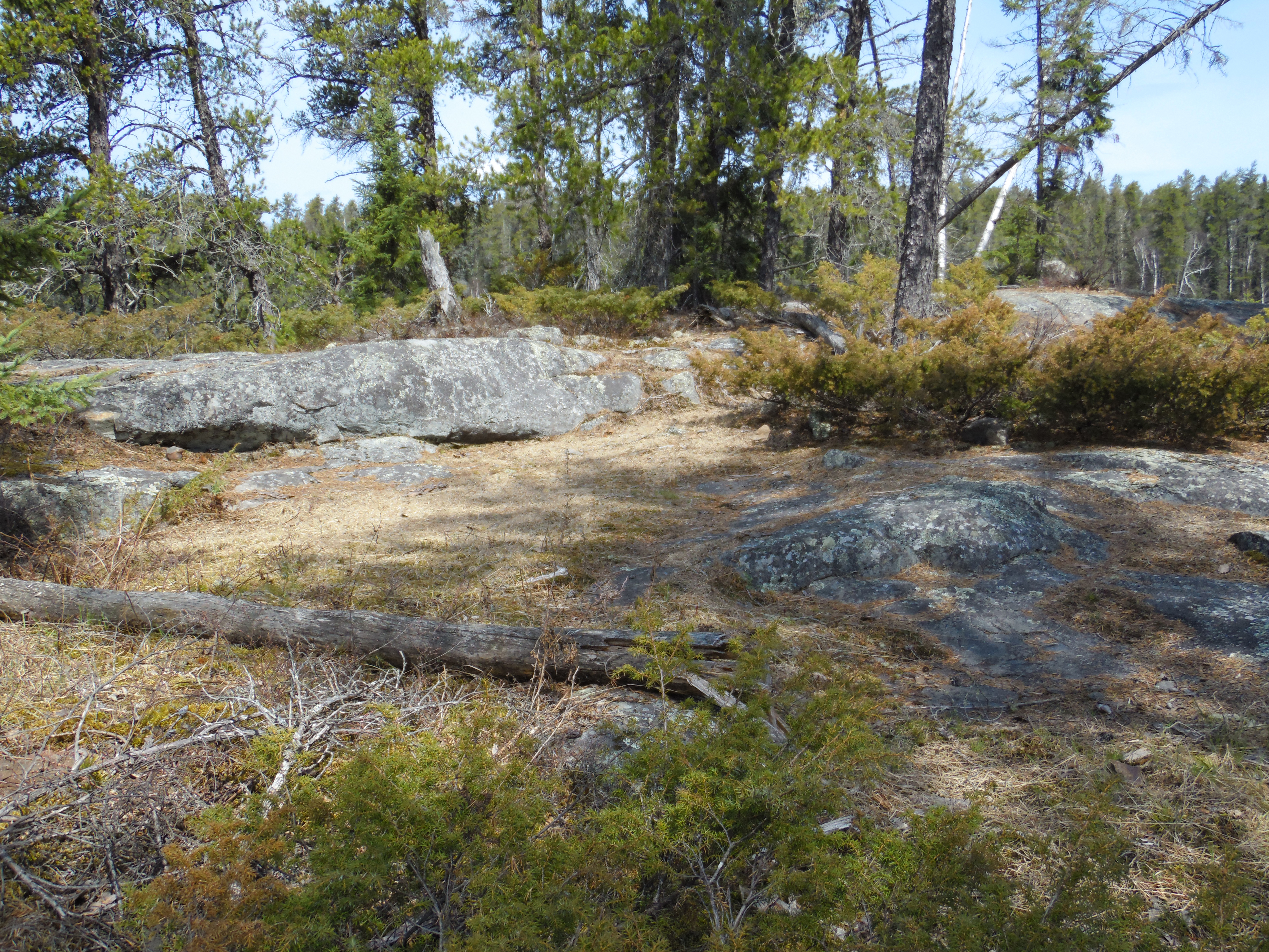
This used to be the kitchen area for the island campsite (June 14, 2021).
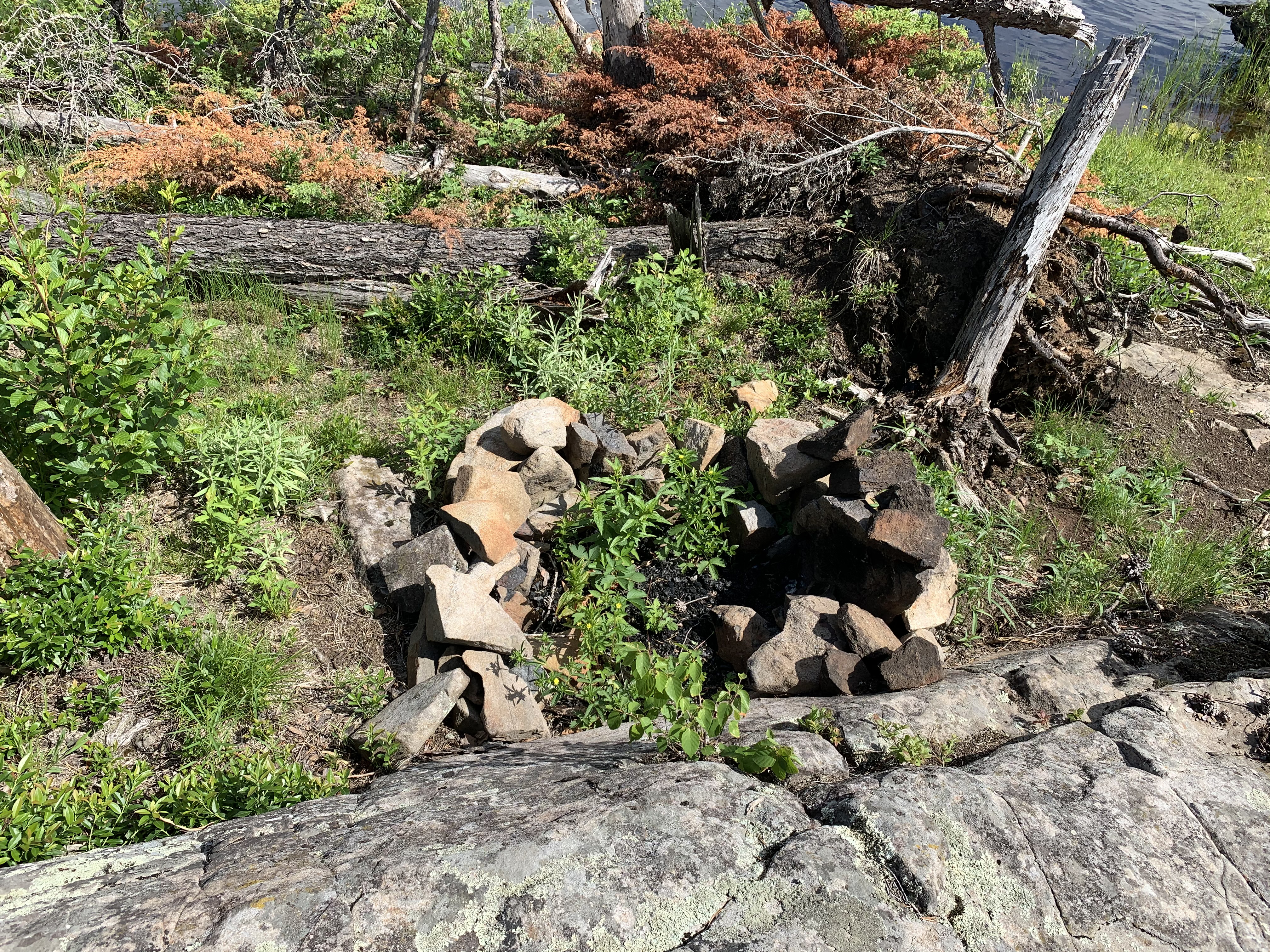
The fire ring has now become a small garden. Doesn't look like anyone has used it so far this year (June 14, 2021). If you camp here, you'll have plenty of firewood.
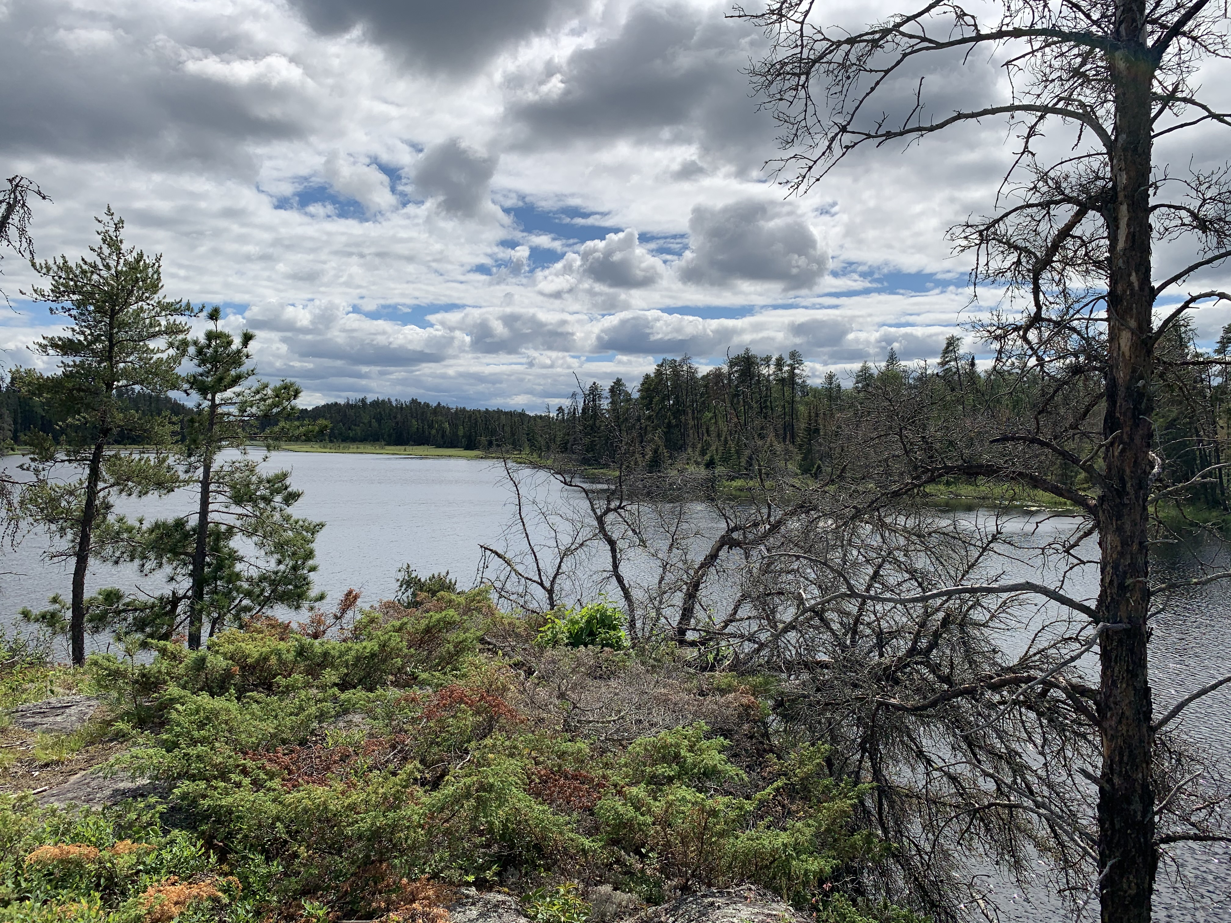
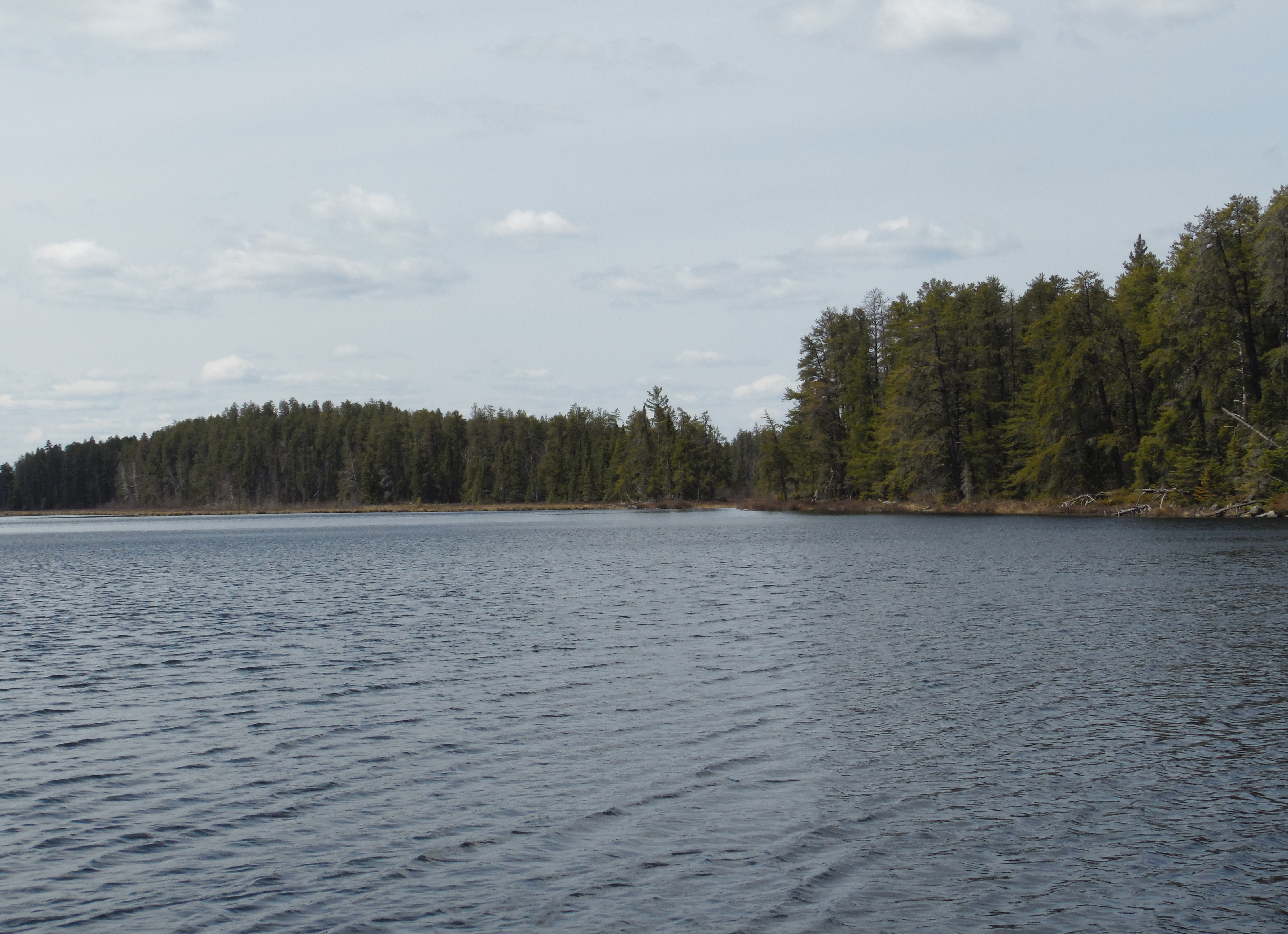
View to the north from the island on Pagami Lake (click photos to see full resolution) (June 14, 2021).
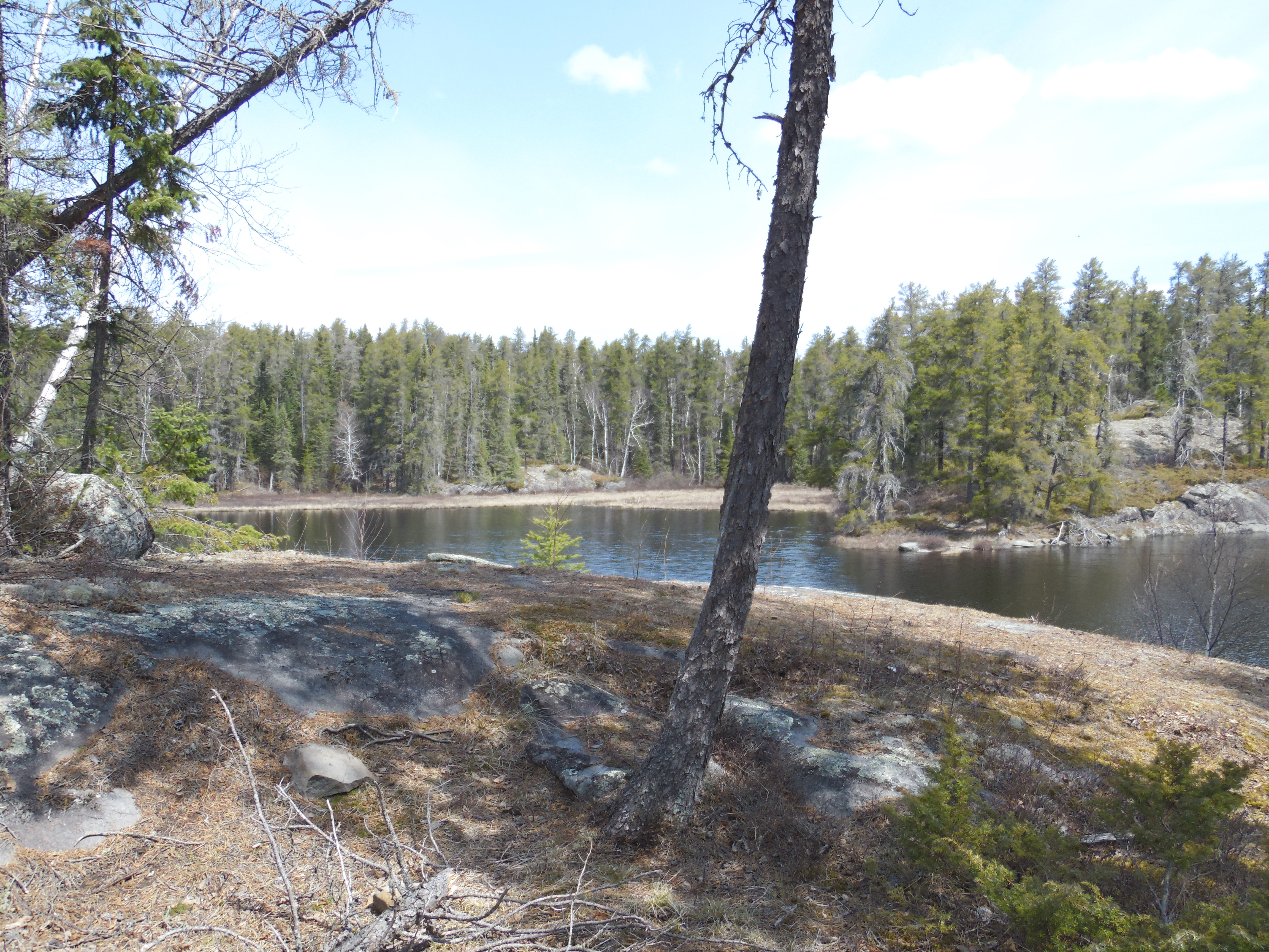
This is looking off to the northeast up the long arm of the lake. Pagami Creek flows out of the lake at the far end (June 14, 2021).
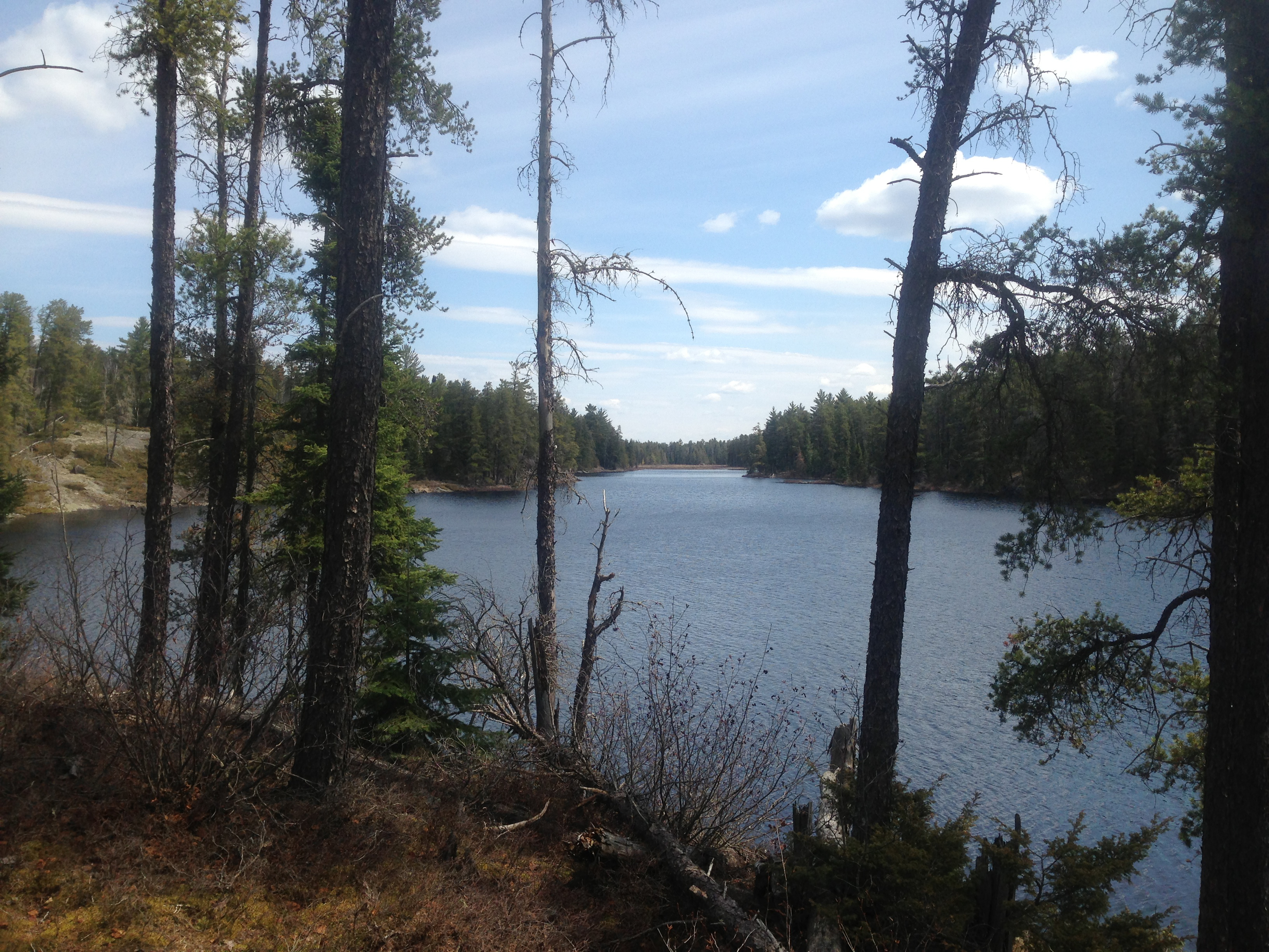
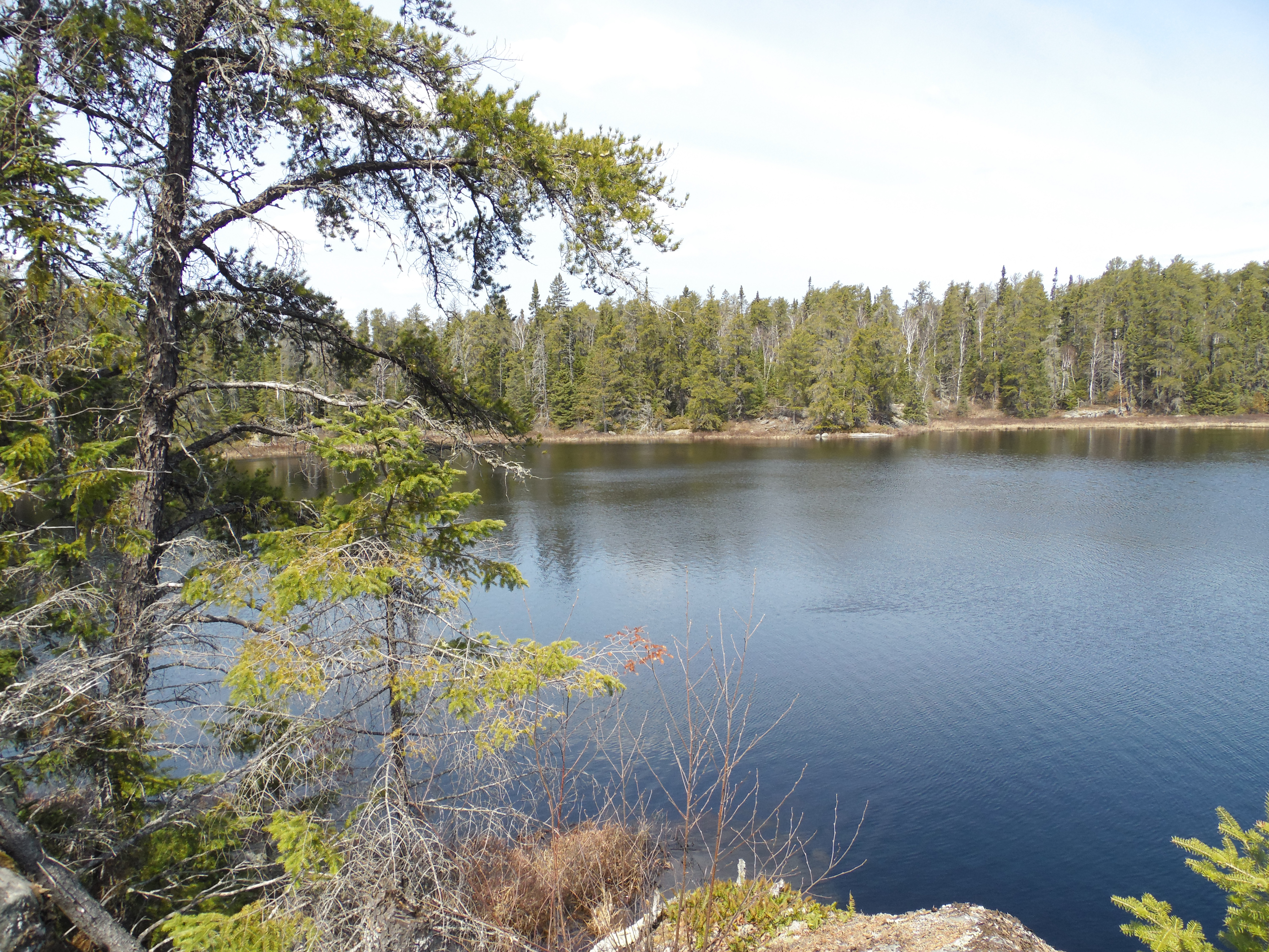
This is to the southwest from the island (June 14, 2021).
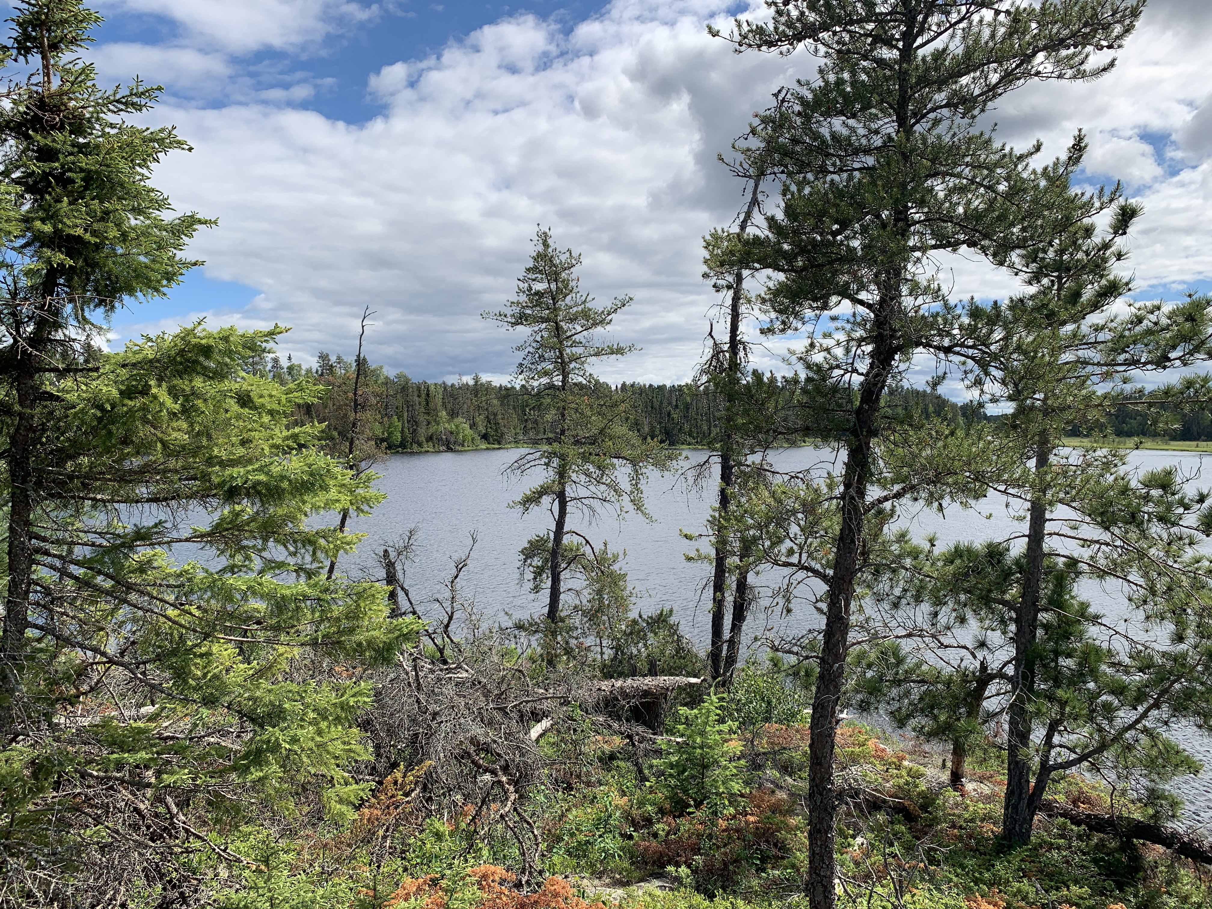
Southerly view (June 14, 2021).
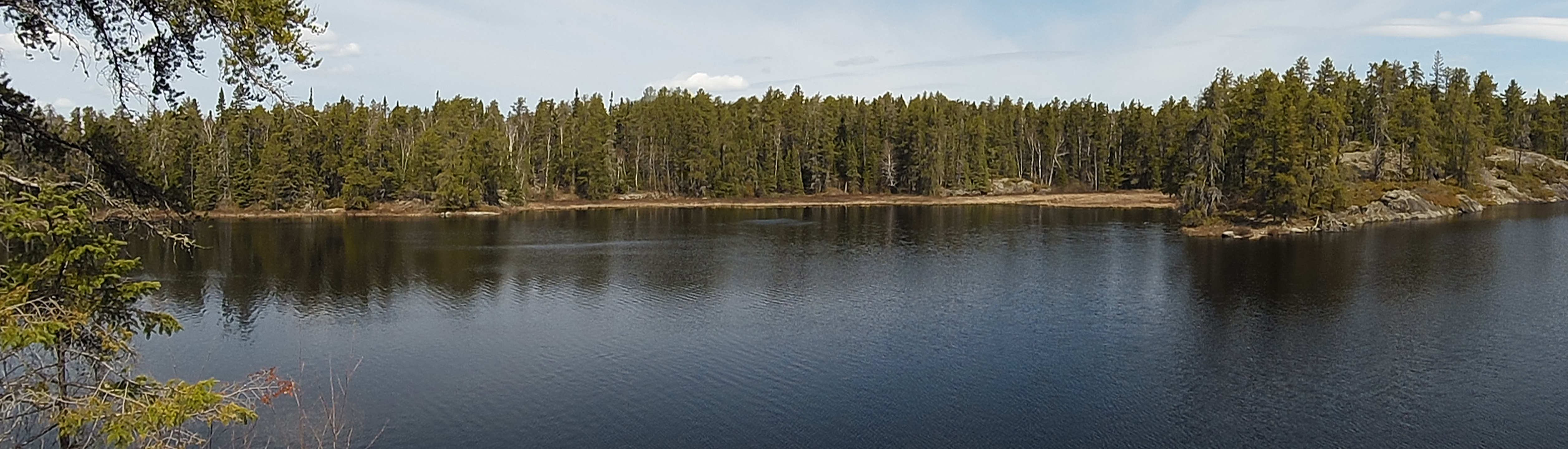
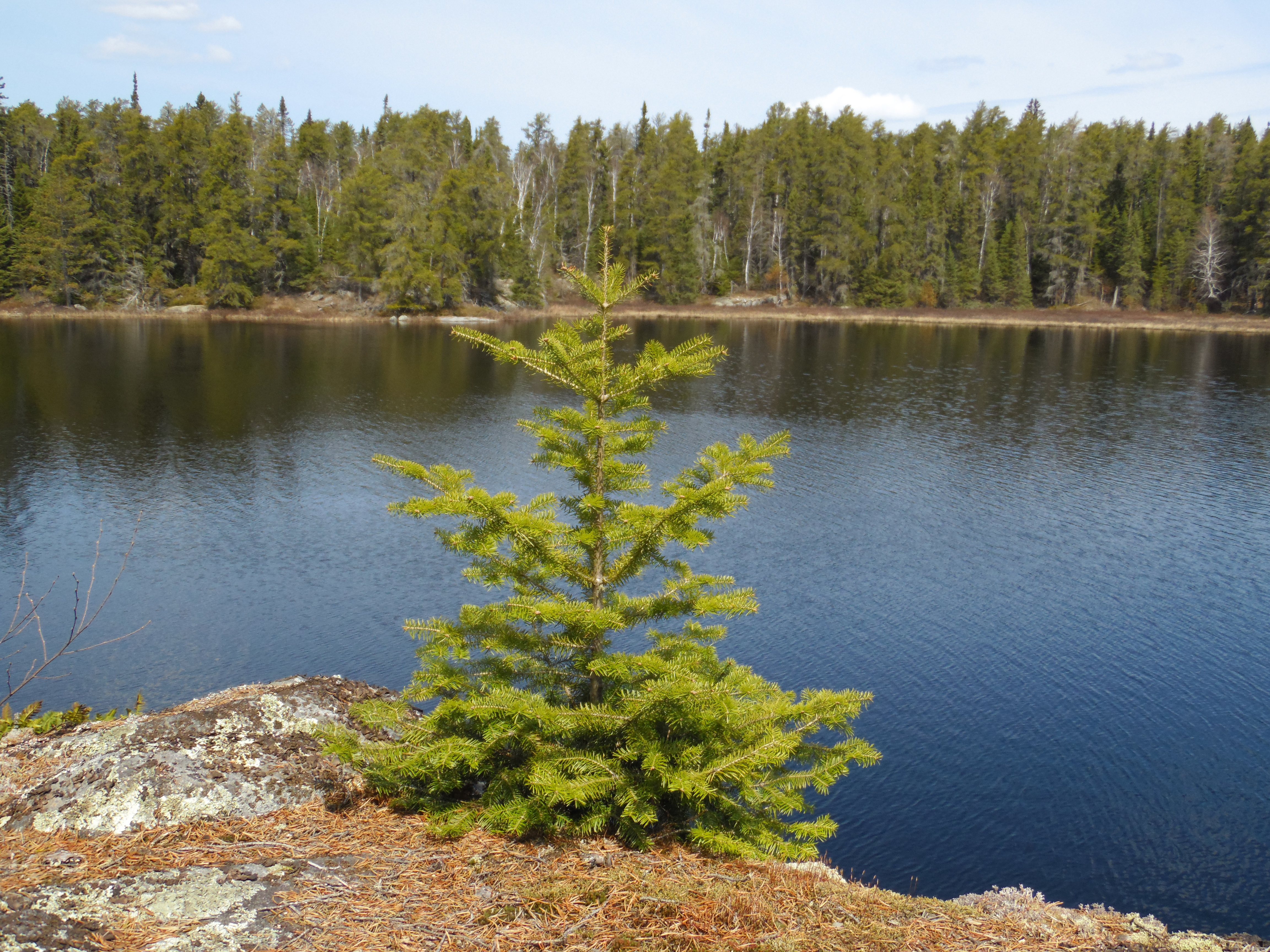
Another view looking south. Pagami Creek flows into Pagami Lake just to the right of center along that distant shoreline (June 14, 2021).
All images/videos below are before the July 2016 windstorm
Paddling from the north end of Pagami Lake to the island (older footage)...
Paddling southwest from the north end of Pagami Lake to the lakes island, where there is used to be a nice unmaintained campsite. This campsite was mostly destroyed by the July 2016 windstorm. The fire ring made of rocks was still intact (May 17, 2014).
A look around the island (pre-July 2016 windstorm)...
A look around the island. This is peering up the hill from what is probably the best place to land a canoe on this island, which is the south end. (Note: As of February 2, 2020, if you zoom in on this island on Google Maps (satellite view) you can see a canoe beached at this location.) (May 17, 2014).
The kitchen area at the island campsite (May 17, 2014).
The north end of the island with the bay and the point that are just north of the island visible in the background (May 17, 2014).
You explore around the island and its campsite on Pagami Lake. This campsite even comes with a nice kitchen counter built in (May 17, 2014).
The island provides awesome views of much of Pagami Lake. The following images are all from the island (pre-July 2016 windstorm)...
The bay to the northwest of the island is on the left and the point that is due north of the island is over to the right of your view (May 17, 2014).
Turning a little bit more to the right (compared to image above), you can now see the bay to the northwest of the island on your left, then the point that is due north of the island near the middle of your view. You can also see all the way up the northeast arm of the lake on the right. Pagami Creek flows out of the northeast end of this arm of the lake in the far distance (May 17, 2014).
Peeking through the trees on the island and looking down the northeast arm of Pagami Lake (May 17, 2014).
Looking straight east from the island at the nearby eastern shoreline while standing at the south end of the island (May 17, 2014).
Looking toward the northeast from the south end of the island. This view is up the eastern shoreline of the lake (May 17, 2014).
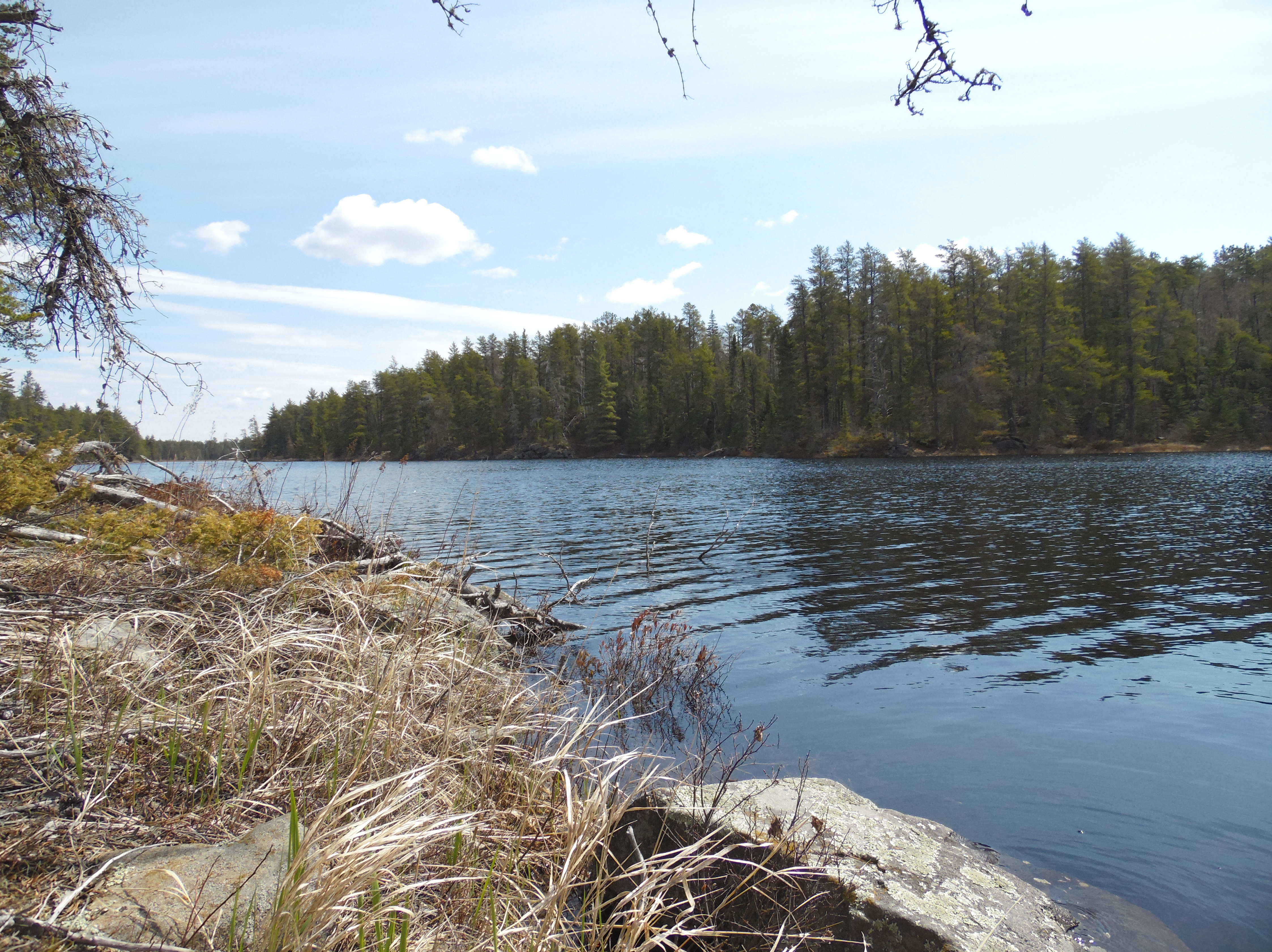
View toward the south from the island of Pagami Lake. Good view of the canoe landing on the south tip of the island (May 17, 2014).
Gazing toward the southwest from the island. To the far left you can see the north edge of the large bog that straddles the entire southwest corner of the lake (May 17, 2014).
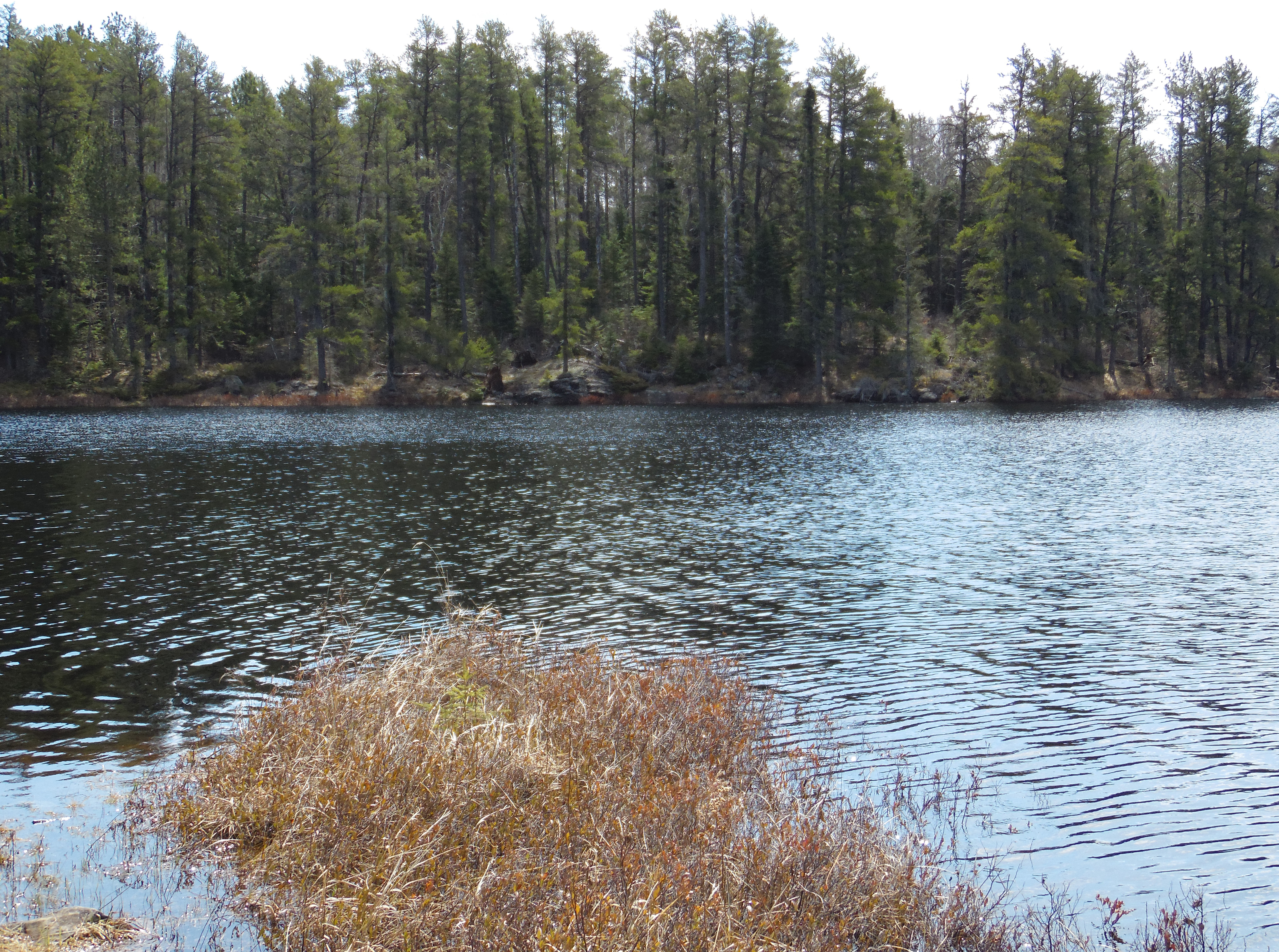
The shoreline due west of the island (May 17, 2014).
Another look from the island of the shoreline to the west (May 17, 2014).
Paddle south from the island to the south end of the lake and back into Pagami Creek...
After leaving the island, you continue to the south end of Pagami Lake and enter Pagami Creek, heading upstream toward the south (May 17, 2014).
The south shore of Pagami Lake...
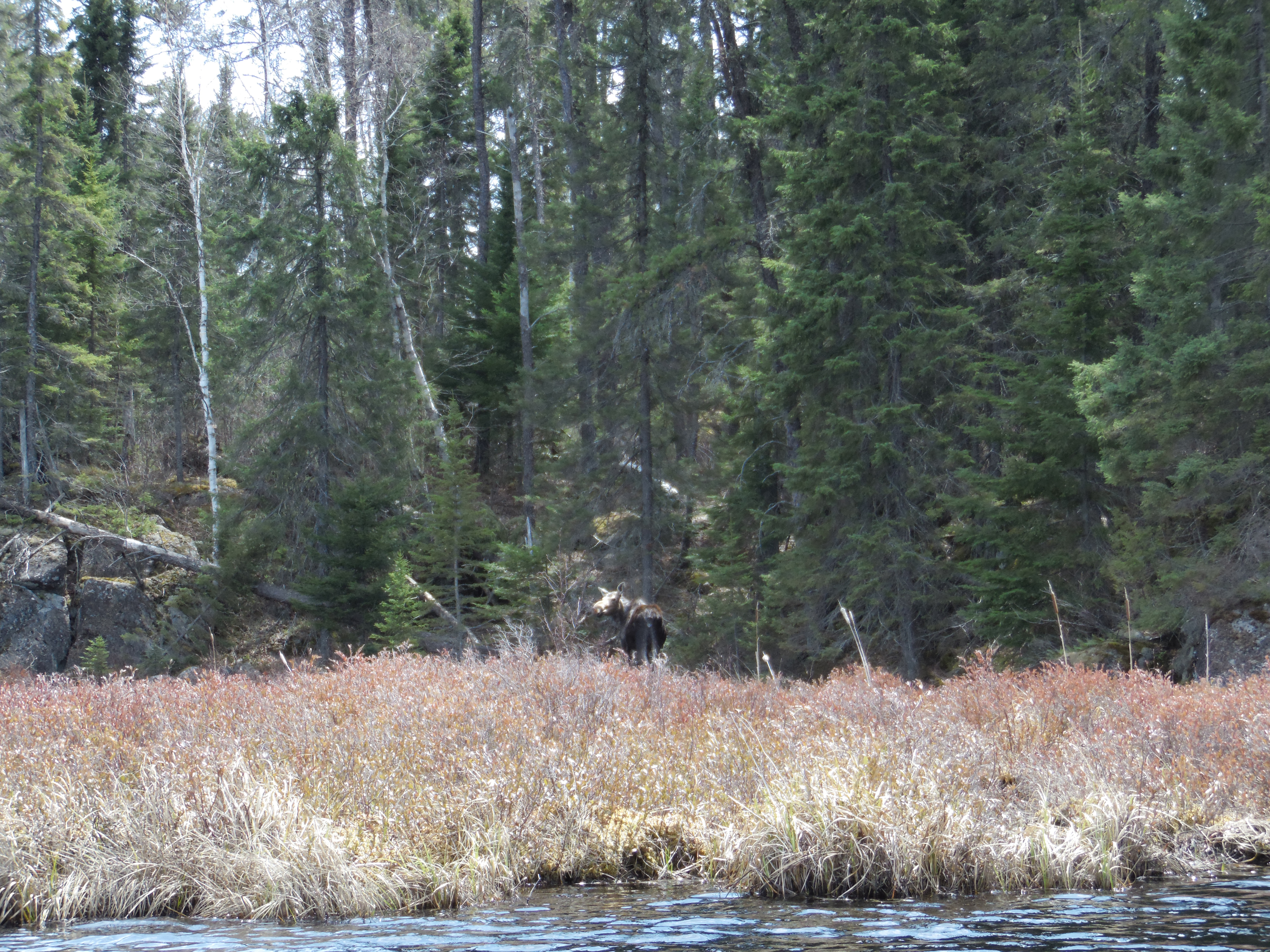
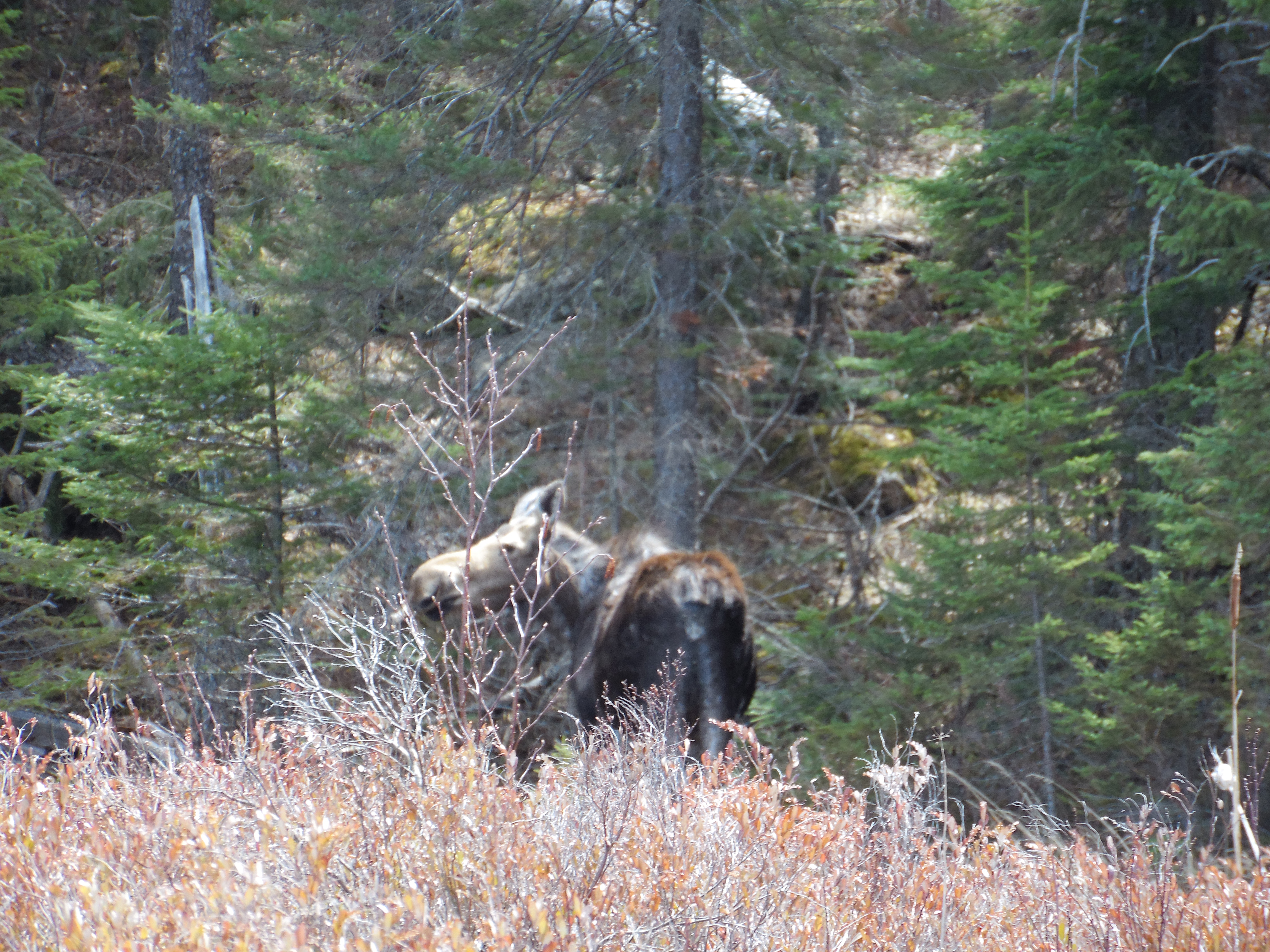
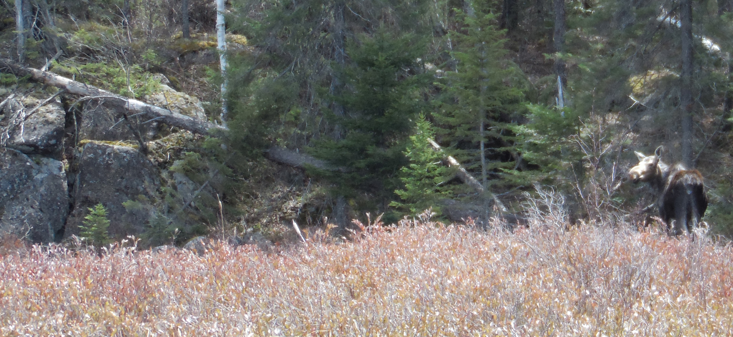
A winter worn moose in the bog along the south shore of Pagami Lake (May 17, 2014).
Another view of the moose. Notice all the missing fur (May 17, 2014).
Moose on Pagami Lake. This is just east of where Pagami Creek flows into the south end of Pagami Lake.
A somewhat fleeting view of a winter worn moose observed along the shoreline of Pagami Lake in spring as you are out paddling around. The wind is blowing strong, so keeping the canoe in place is difficult while also trying to watch a moose (May 17, 2014).